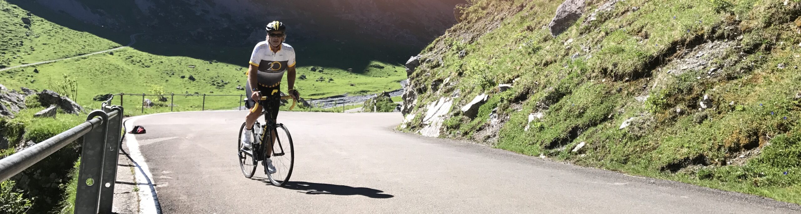
Söreneberg to Thun – the Long Way
Day 5 of my trip across Switzerland from Söreneberg to Thun
Day 5 of my trip across Switzerland from Söreneberg to Thun
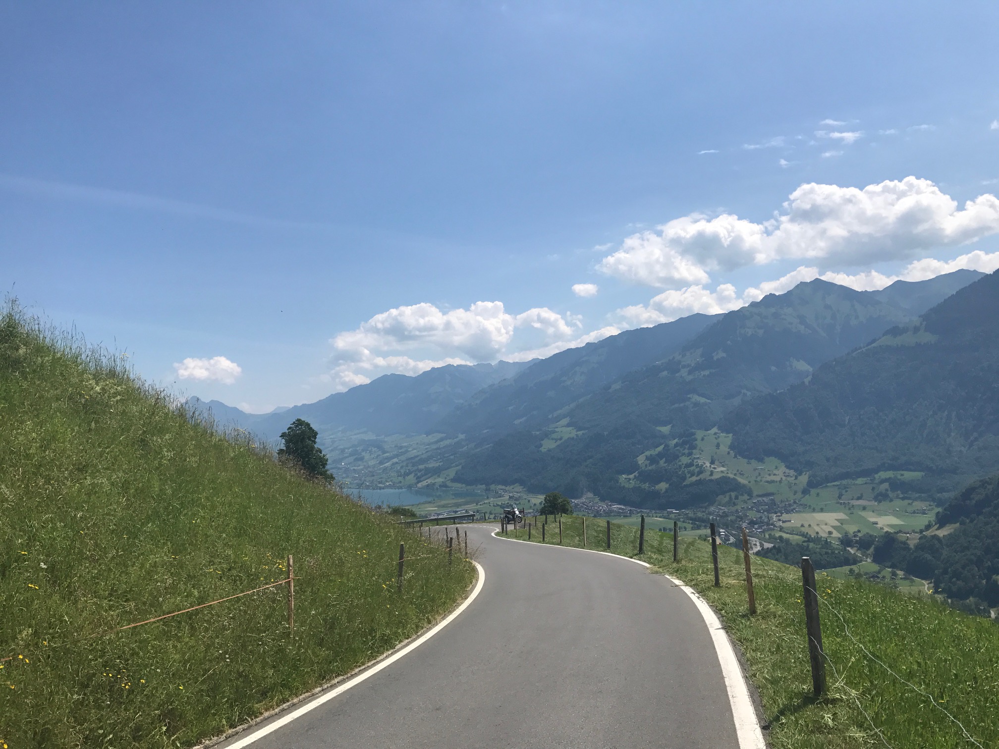
Day four of my trip across Switzerland this from Beckenreid to Sörenberg
Lake Lucerne has to be one of the most beautiful lakes in the world. What a great ride from Linthal to Beckenreid
Day 2 of my trip across Switzerland from Lichtensteig to Linthal
The first day of my trip across Switzerland. This day was from St. Margrethen on the Austrian border to Lichensteig.
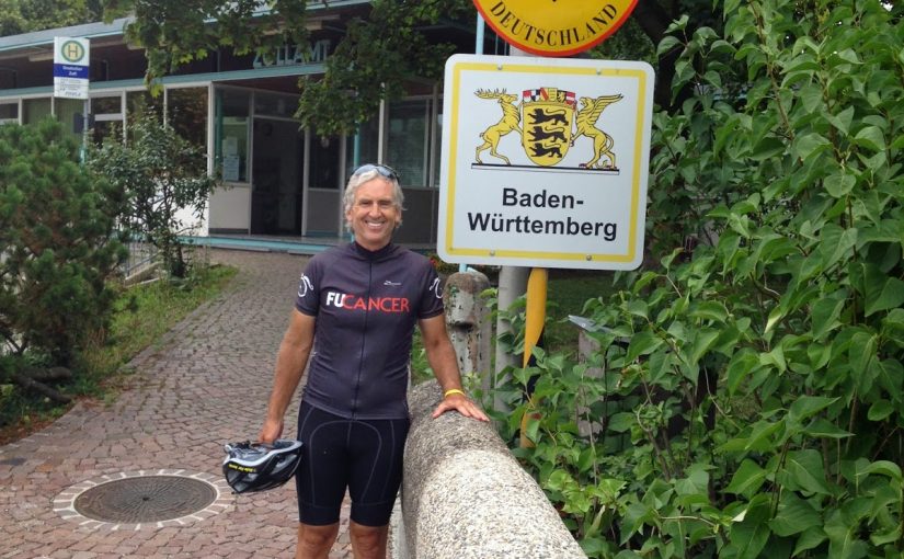
SISSACH, SWITZERLAND I had never been to Germany and a few months ago I told Ben Z. that we should ride (or that he should design) a ride that takes us from Switzerland to Germany. And he designed a good one. I took the train from Zürich to Sissach, met Ben, and went over to […]
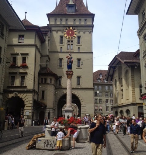
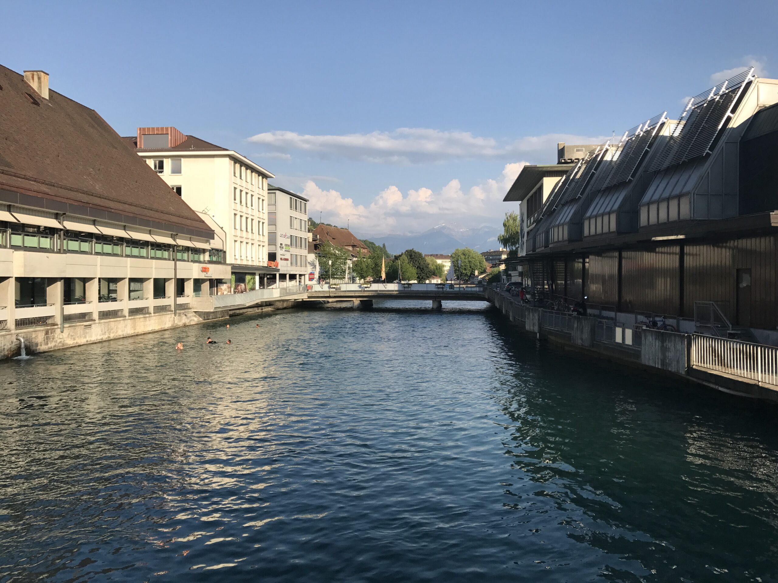
BERN, SWITZERLAND I came to Bern not to ride but to swim. But I got in a ride. (And a blog entry!) Bern is a neat city. As a genealogist, I trace most of my family history to Germany and England but I trace my Wenger line to Bern. My great-great-great-great-great-great-great-grandfather, John or Hans Wenger, […]
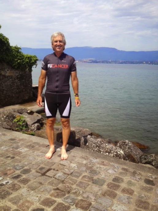
I went to Geneva, Switzerland to ride but ended up in France – and was happy about it
Itinerary for the Trek Travel Tour de France trip, 2010
Recent Comments