What a Gorgeous Lake – and Mountain Too

BECKENRIED, SWITZERLAND

I am blown away at the view of Lake Lucerne and it’s hard to remember what an awesome day in the saddle it was. Or out of the saddle.
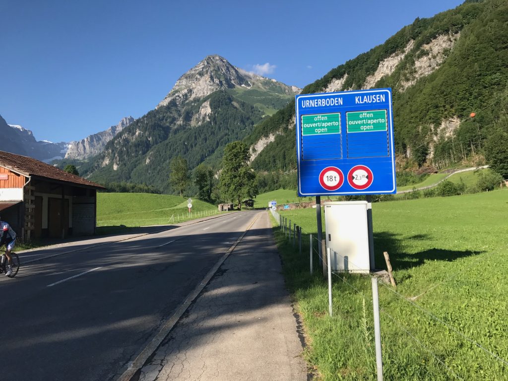
The start of the climb in Linthal

I began my day in Linthal. It was just 55° (13° C) at 8:00 a.m. I put on arm warmers which would last all of about half a kilometer. I was prepared for how tough a climb last night by meeting the couple from Zürich. I saw them this morning at breakfast too. “Tough,” he said.
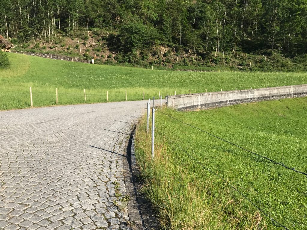
The cobbles would last about 150 meters through the first switchback. Linthal, Switzerland

I would be climbing the Klausen Pass. I studied the route map and knew what exactly to expect. Just not cobblestones.
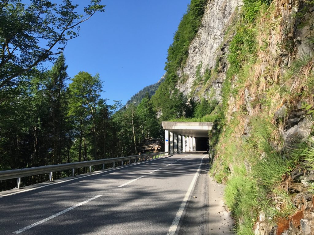
Snow shed

I would normally ride without stopping but I figure this will be the only time I am ever here. So I said I would stop for photos. The first was the snow shed and I also turned on my lights.
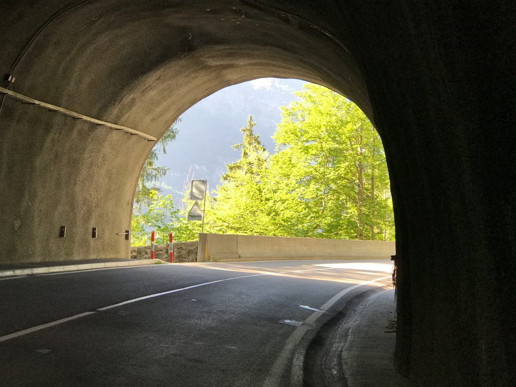
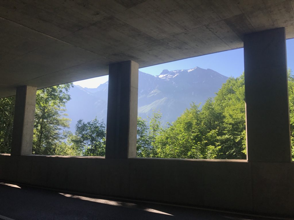
Gorgeous snow sheds or tunnels – Linthal, Switzerland

A house with a view – Linthal, Switzerland

The snow sheds had windows to the outside world and breathtaking views. However, I did not capture enough. As I climbed higher I sometimes thought there would be better vistas only to find the road went straight into the forest and I was no longer able to see the valley below.
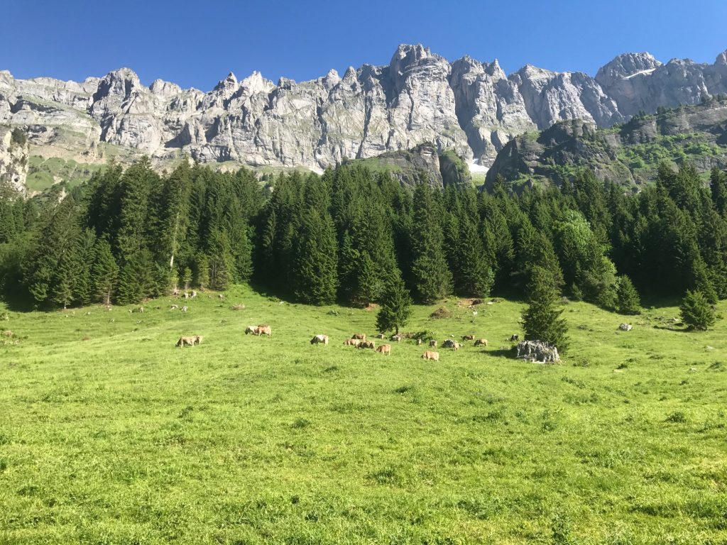
Cows. Lots of cows. – Urnerboden, Switzerland

The climb up to the pass was 23 km. At 10 km it was a plateau (mostly), sort of like Big Meadows in Skyline Drive in Virginia. To the right, I could hear the symphony of cowbells playing in the distance. I wondered if they needed a director.
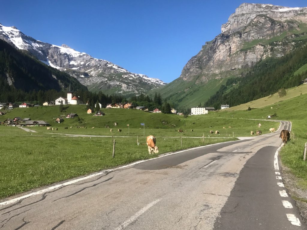
The white building to the right, ahead, is the Wilhelm Tell Hotel – Urnerboden, Switzerland

In the plateau area, a false flat mostly for about five kilometers, are free-range cattle.
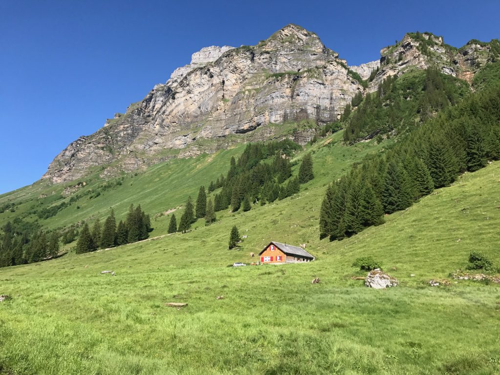
Just another gorgeous view – Urnerboden, Switzerland

I would go through a small village of Urnerboden. To the right was the Hotel Wilhelm Tell. I didn’t think much of it at the time but this was said to be the birthplace of Swiss Hero William Tell. (The area, not the actual hotel.)
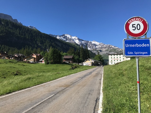
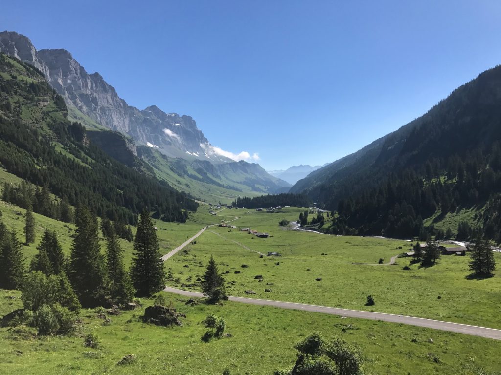
Urnerboden, Switzerland
The plateau area – Urnerboden, Switzerland
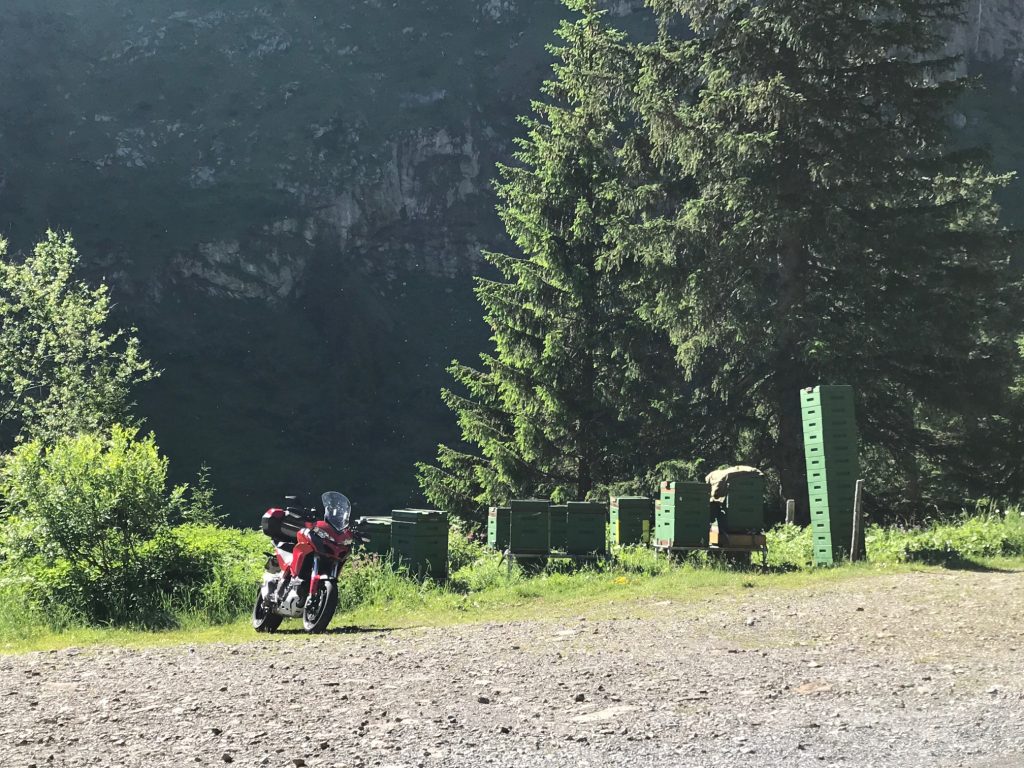
Bees, lots of bees. – Urnerboden, Switzerland
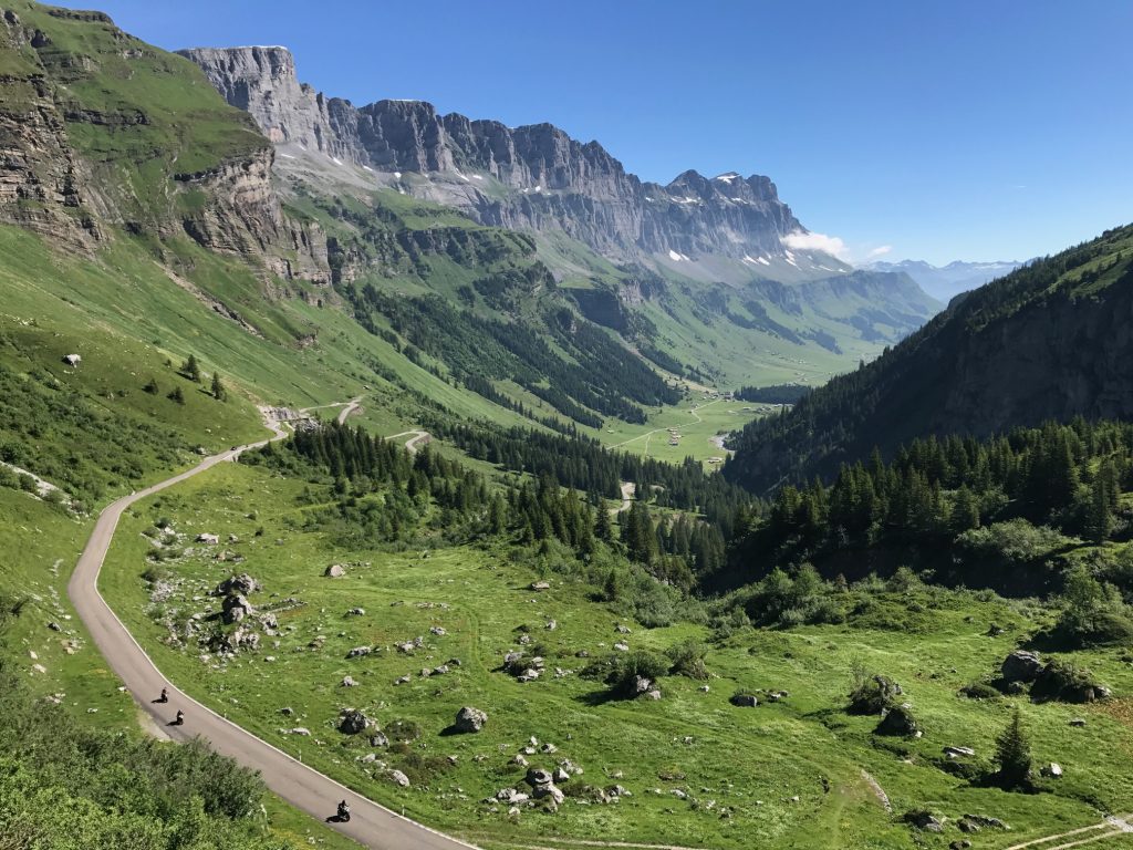
Looking down the road I climbed and three more motorcycles ready to pass me – Urnerboden, Switzerland

After the second section, the road kicked up again to the summit, this time about eight kilometers.
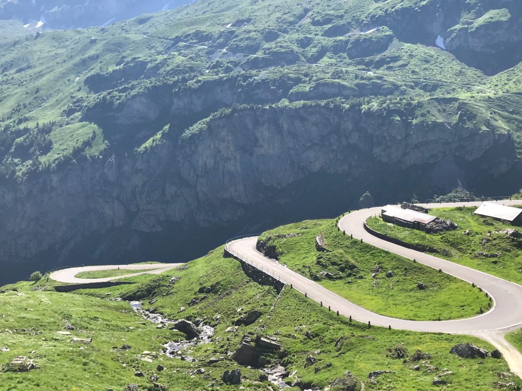
Switchbacks in the final section – Urnerboden, Switzerland

The solitude of the climb was interrupted by motorcycles passing me, one within inches. In addition were lots of sports cars, Porsche, Jaguars, even saw four Deloreans. Unfortunately, many drivers treated this road as their racecourse.
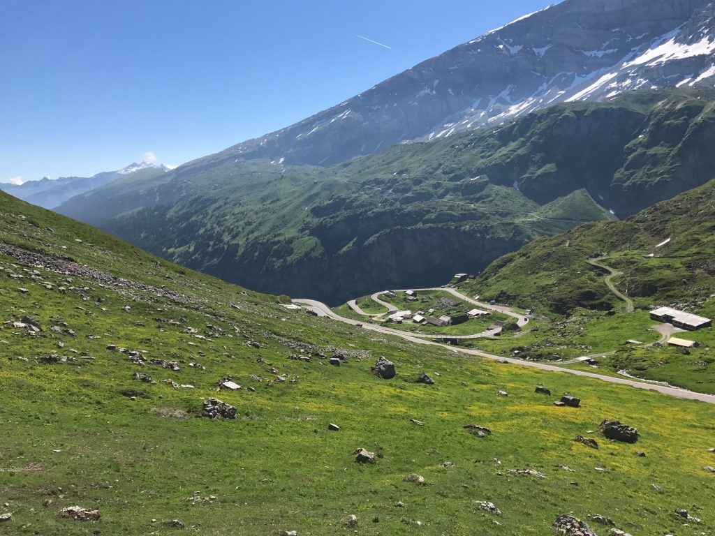
Looking back at the switchback section – Urnerboden, Switzerland

On the climb I passed two cyclists, a man and a woman, and got passed by three, two men and a woman. And 203 motorcycles.
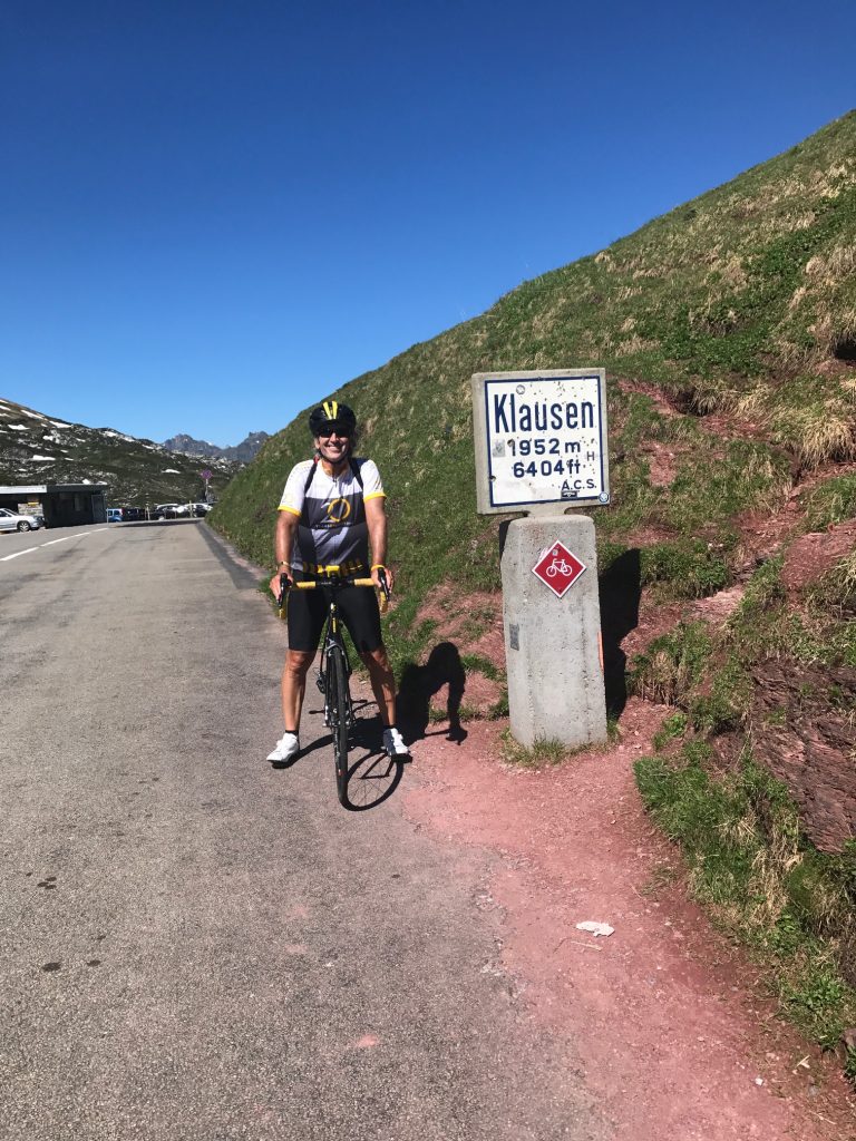
Barry at Klausen Pass

I would characterize the climb as hard but not the hardest. Four climbs: Mount Washington; Hurricane Mountain Road (NH); San Pellegrino (Italy); and maybe Henrietta Road (PA), all brought me to my knees making me think I should quit. This ride never did it. It was just a slog, a 2.5-hour slog to be sure, but I knew I would make it.
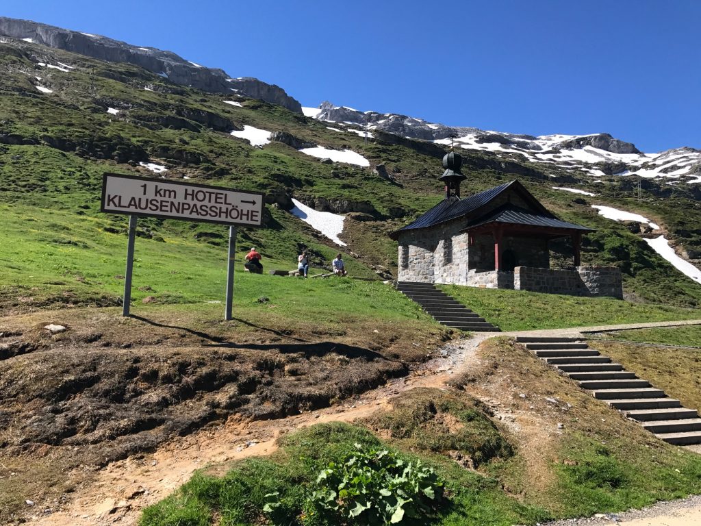
At the top – Unterschächen, Switzerland

With the hard part over and drenched in sweat, it was time for the easy part of the day. The descent.
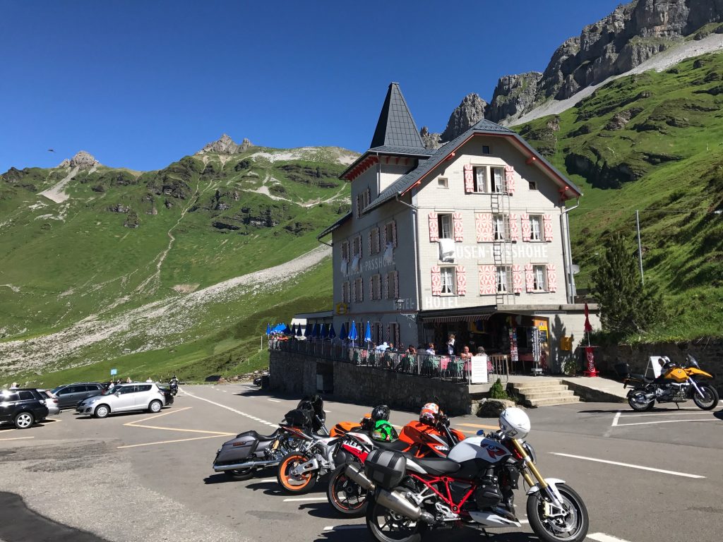
On Klausen Pass – Unterschächen, Switzerland

I thought I might bomb the descent but instead took it easy. The words of Wayne Stetina resonated with me when he told me four years ago that he never bombs a descent he hadn’t seen before. I decided I would take it easy.
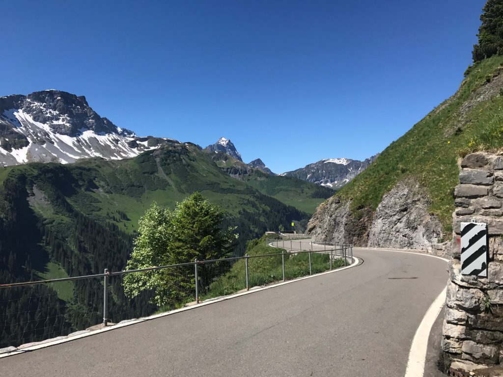
Descent off Klausen Pass – Unterschächen, Switzerland

I stopped frequently for the views. In addition, the road was too beat up and too windy to let the bike roll.
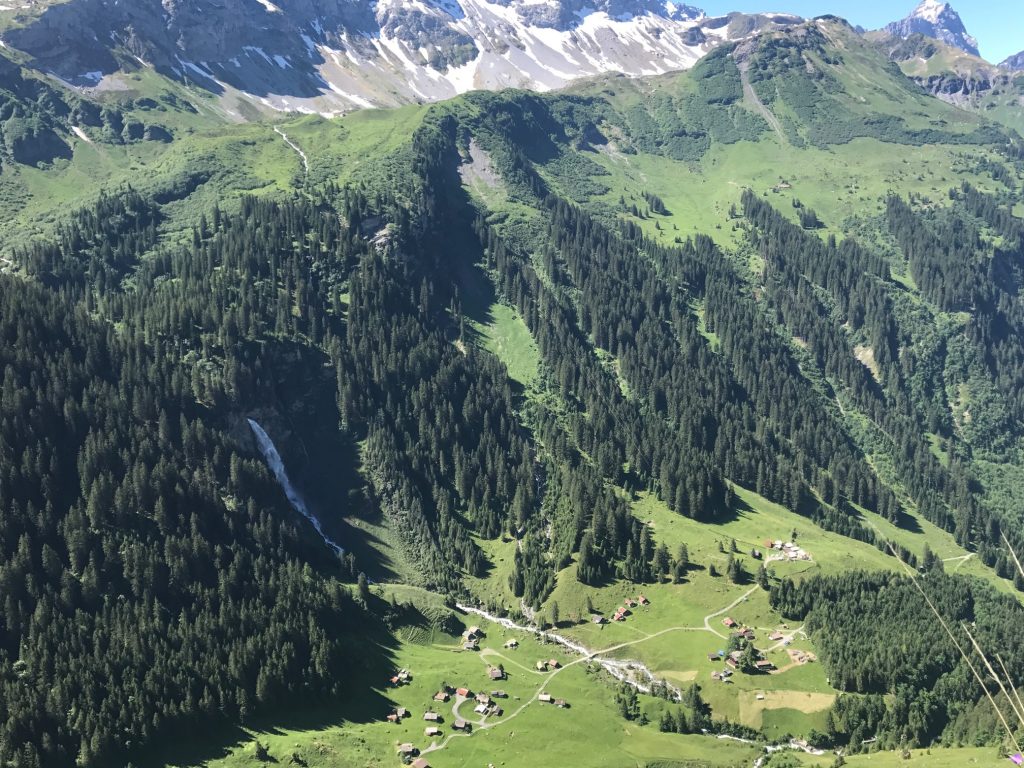
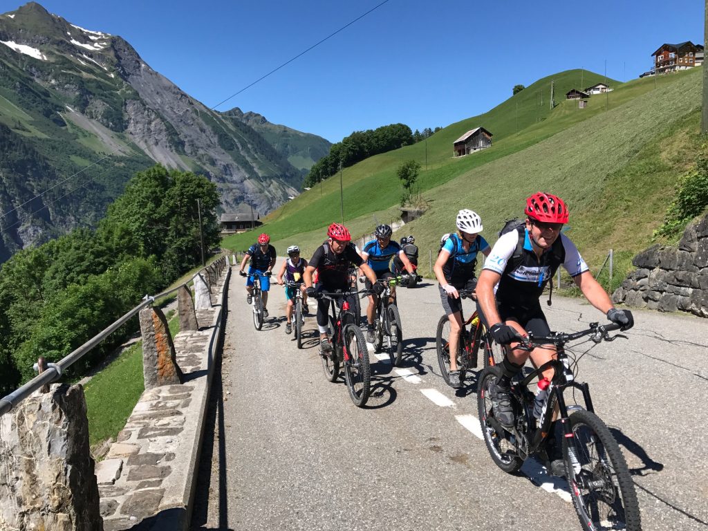
It’s pretty far down there – Unterschächen, Switzerland
I held the camera and said “Cheese,” a universal word. – Unterschächen, Switzerland
Altdorf, Switzerland

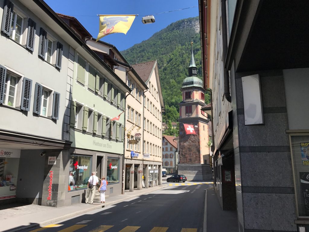
I descended into Altdorf, a beautiful town. And then I saw it. Lake Lucerne.
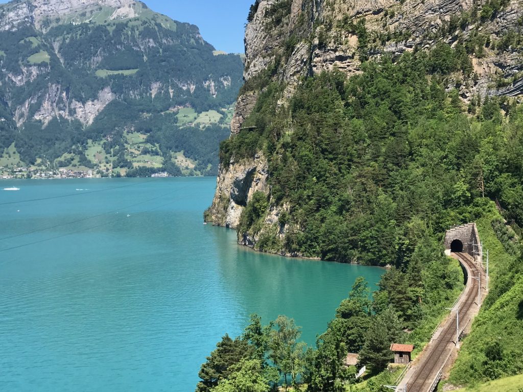
Lake Lucerne – Flüelen, Switzerland

Leaving town I found the bike path to avoid riding with the cars in the tunnels, of which there were five or six.
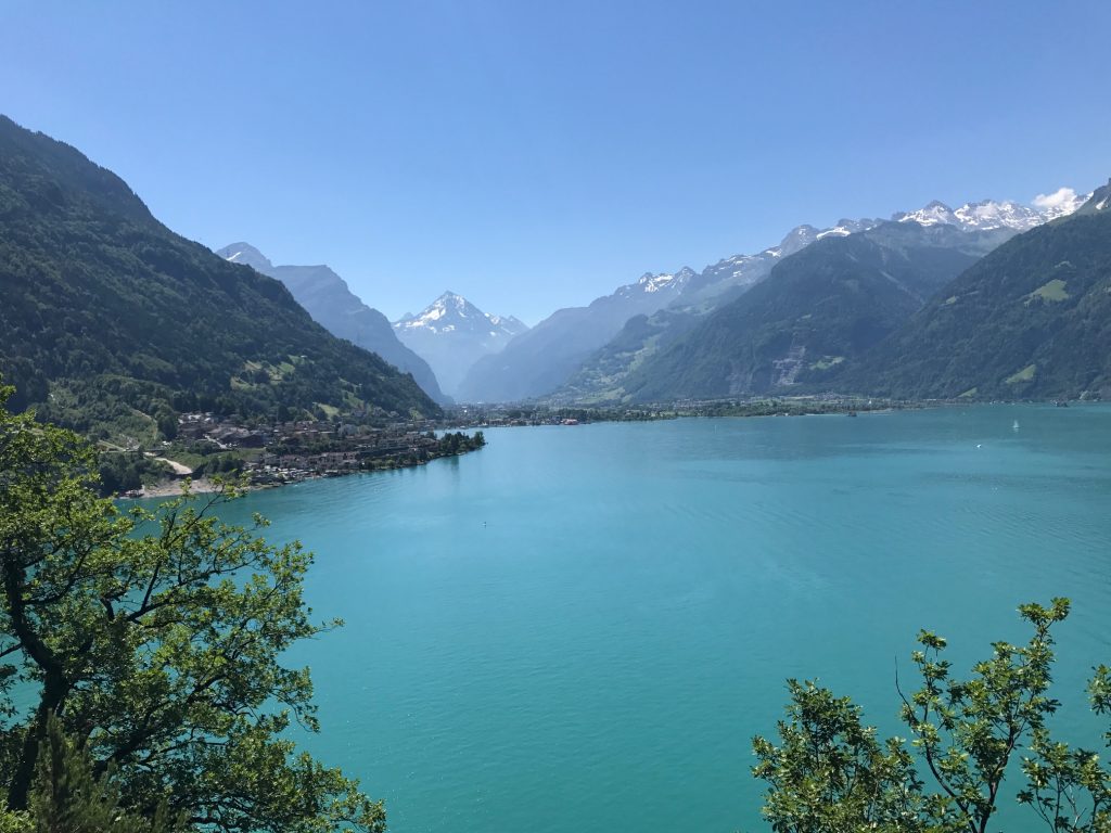
Lake Lucerne – Flüelen, Switzerland

The bike lanes in Altdorf were well marked. Once I was in a dedicated lane sometimes it was bike-only and sometimes it was for bikes and pedestrians.
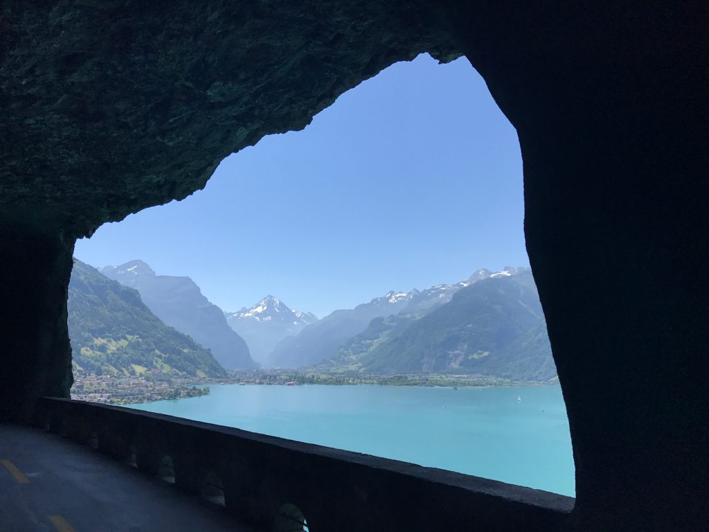
Lake Lucerne – Flüelen, Switzerland

In the tunnels, often the bike lane would go in with the cars and the pedestrian path would be on the outside of the tunnel, high above the lake. Sometimes the bike lane would be outside as well. Simply gorgeous.
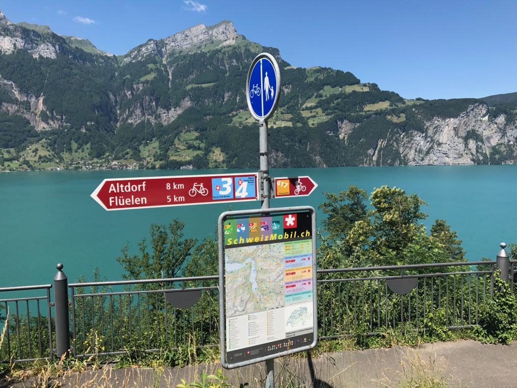
Lake Lucerne

The one thing to watch out for is bike paths could become sidewalks without notice. And there are penalties (fines) for riding on the sidewalks.
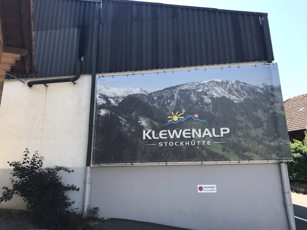
Klewenalp, Beckenreid, Switzerland

As the road got closer to Brunnen it was harder to determine where the bike lane was. But I managed to find my way, at times following two locals (I presume they were local).
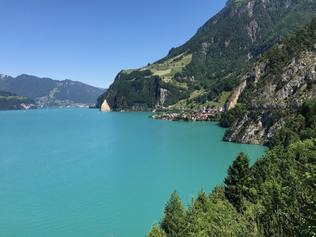
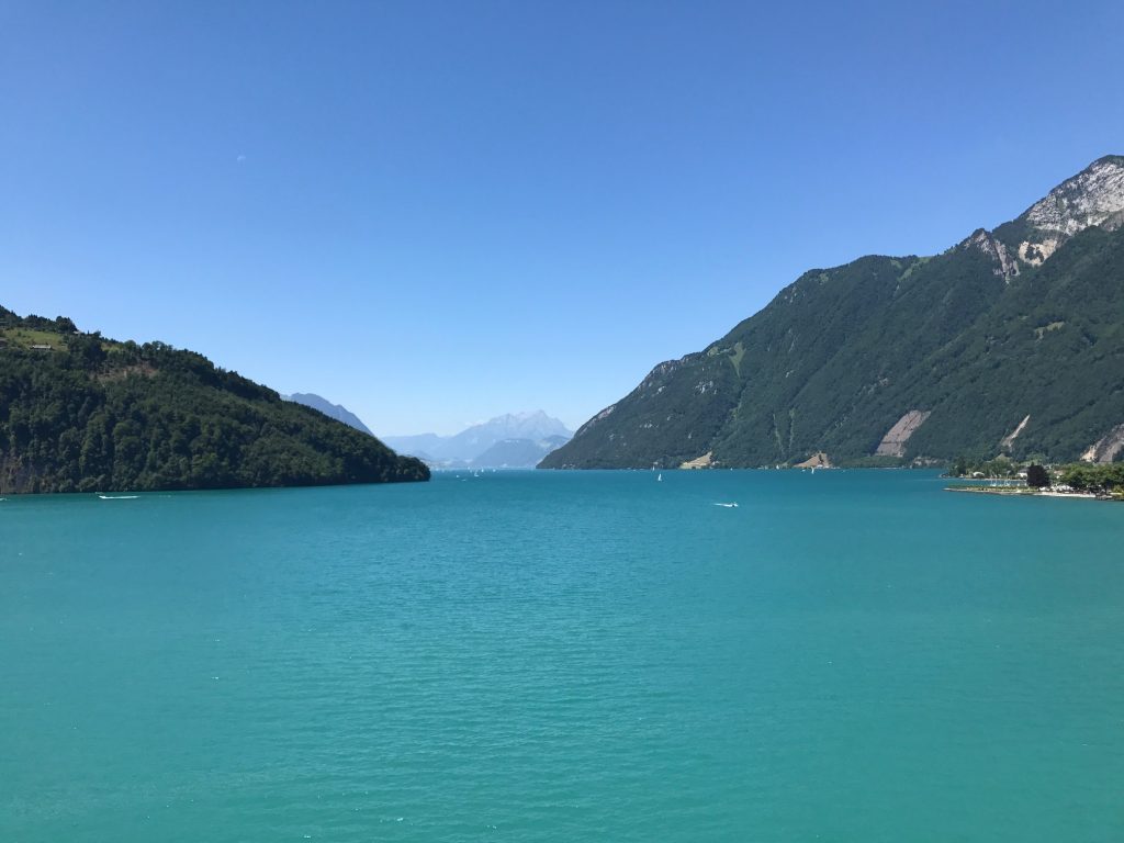
Lake Lucerne – Sisikon, Switzerland
Lake Lucerne – Brunnen, Switzerland
Brunnen, Switzerland
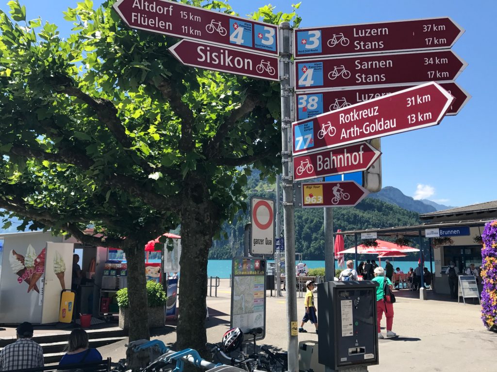
The signs in Brunnen, Switzerland
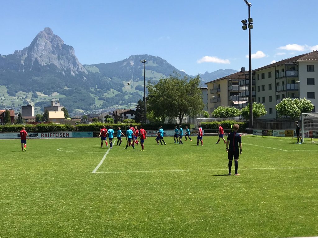
FCB – Brunnen, Switzerland

I came to a small stadium for FCB (Footballclub Brunnen). Either it was too late in the match to collect admission or the game was free but it was free for me. I wanted to see the referees of which there was one. Two thoughts: I was surprised they were using just one referee and my refs in Woodbridge are better.
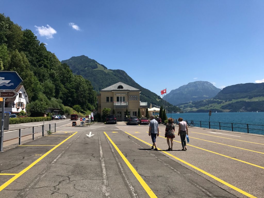
Ferry at Gersau, Switzerland

The rest of the ride was lakeside to the ferry at Gersau. What a beautiful road.
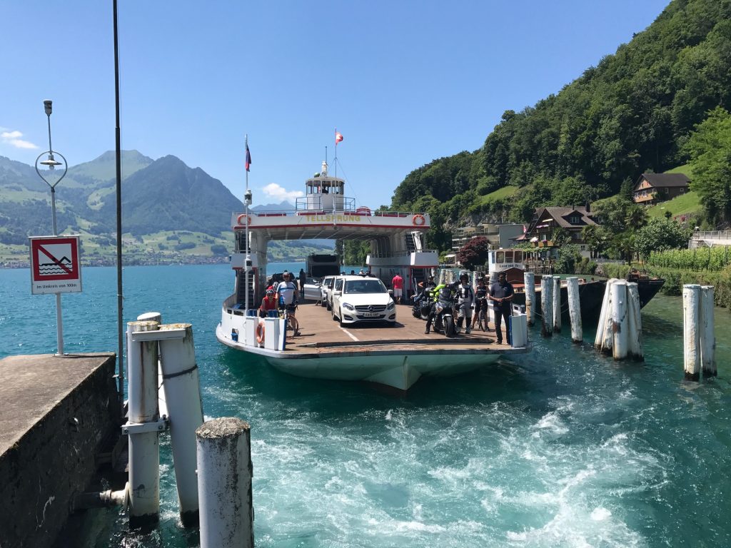
Ferry at Gersau, Switzerland

Onboard I saw a cyclist. Everything about her could have been American. She was on a Cervélo bike (which is Canadian and more likely in the U.S. than Europe), wore a Specialized kit (based in California), rode Speedplay cleats and had a Garmin 500 GPS. But she was a local who ride halfway around the lake (60 km) then took the ferry back.
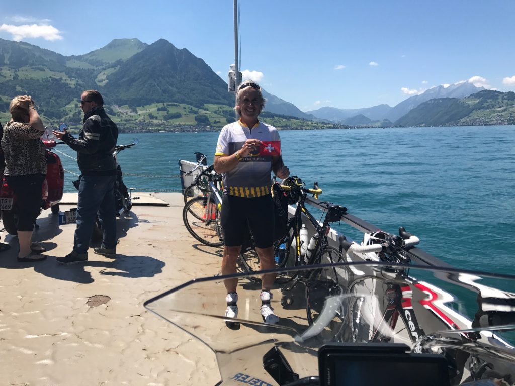
Barry on Lake Luzerne

Disembarking at Beckenreid, I saw the hotel and rode right past it, looking for the Klewenalp. This where Ashley and I went with Ben Z. seven years ago.
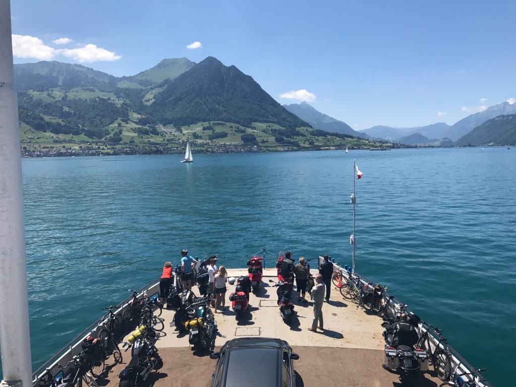
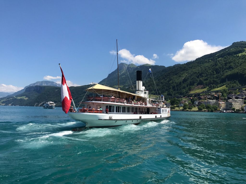
Ferry from Gersau to Beckenreid – It was so enjoyable riding along the lake in Beckenreid.
Lake Lucerne

I found it, then bought some ice cream and watched the paddle steamer. We rode that boat in 2010.
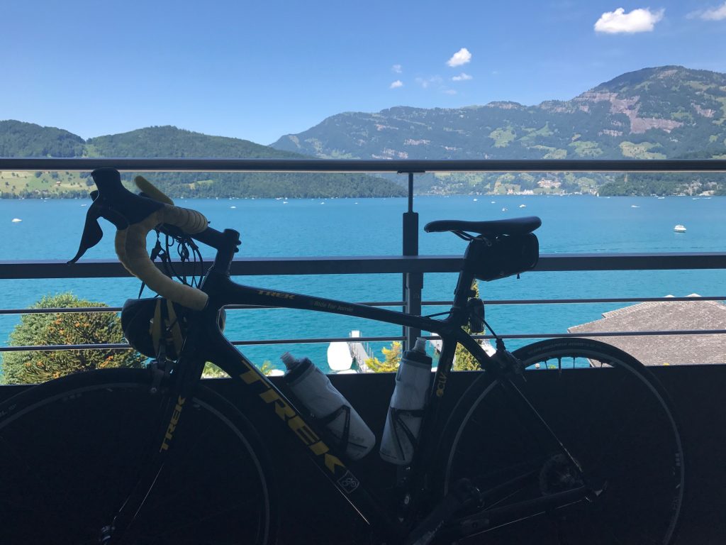
View from my hotel room – Beckenreid, Switzerland

Only then did I check into the hotel. I was told when my luggage was dropped off the guy wondered if I beat him. He said I always do. I didn’t know it was a race. But actually I arrived an hour earlier and had spent the time riding around. Tomorrow he doesn’t stand a chance.
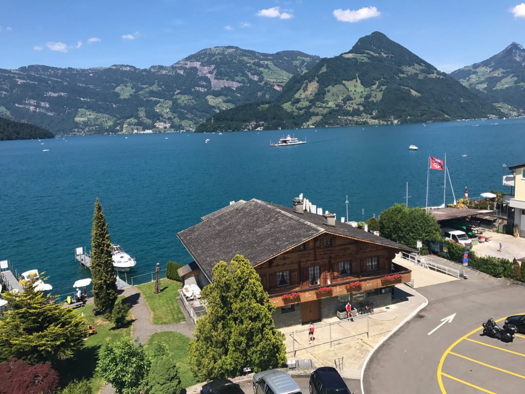
A room with a view! – Beckenreid, Switzerland

The hotel was Hotel Seerausch. Simply gorgeous.
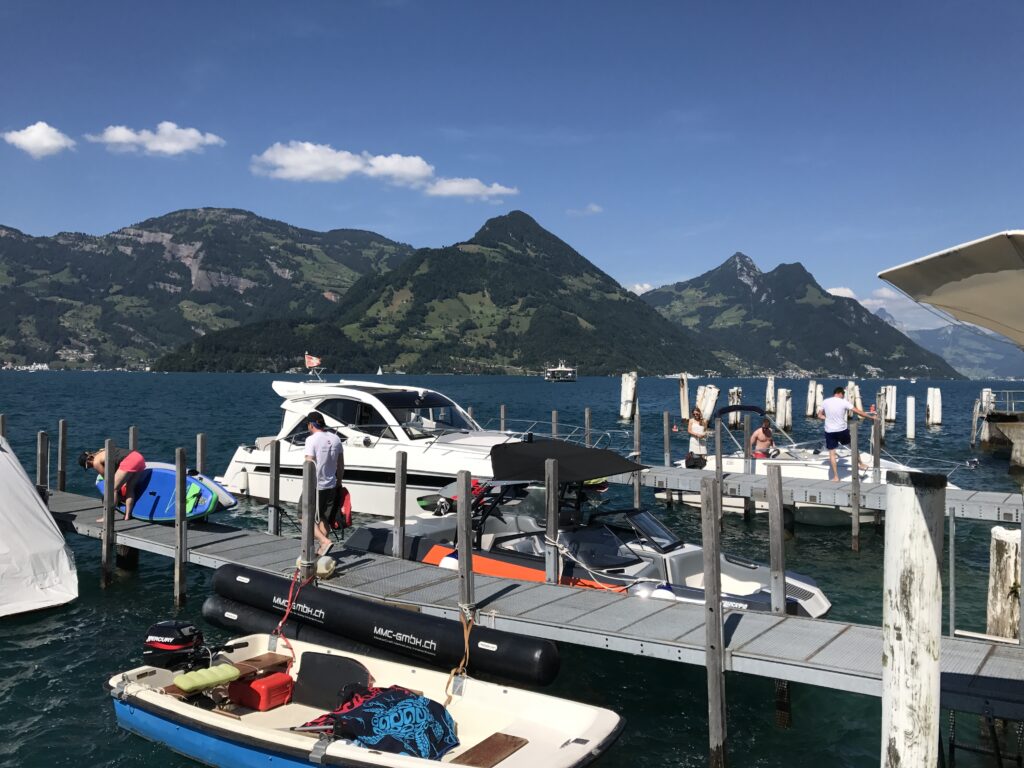
Beckenreid, Switzerland

It was a warm (hot) day. The hotel had their own private beach access to the lake. I went down and dove in. It. Was. Cold! I forgot I was swimming in glacier water. I did not stay in the water more than 10 minutes.
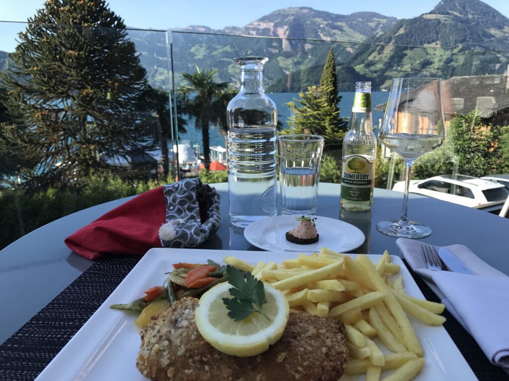
Dinner at the hotel

In addition to first class accommodations, the staff here was the best I found in Switzerland. There’s not too many places I would say I must return to but I would love to return here.
Three Mountains

CLAYSBURG, PENNSYLVANIA

Exploring. I enjoy riding new roads and sometimes just will map out a new ride and go exploring.

Starting in Sproul, Pa., which I guess is a suburb of Claysburg (this is humor, folks), I mapped out a route over Blue Knob, down to Newry, then over Locke Mountain, through Martinsburg, then back over Sproul Mountain. I knew the course over Blue Knob then down through the valley. In all, I was familiar with 24 of the 57 miles so 33 of the miles would be exploring.

I started at Sheetz. (Where else?) I requested and received permission to park my car to go for a bike ride. I was hoping for four and a half hours.

BlueKnob01

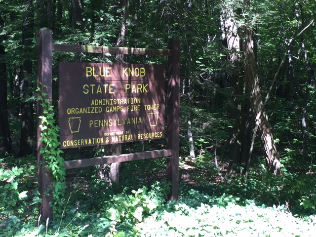
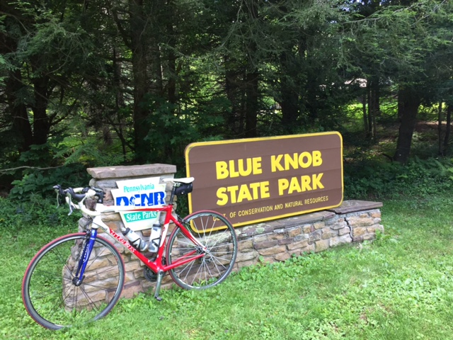
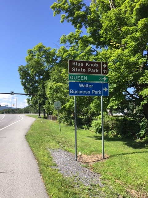
I left Sproul, went through Queen and into Blue Knob State Park. This route was new to me. There was a nifty little 1/2 mile climb at 15-17% at Mile 5. Unexpected.

BlueKnob02
This was followed by a one mile climb into the forest and Blue Knob State Park. Then there was a one mile descent to Pavia at which time I realized my brakes need changed. Oops.

BlueKnob03

In Pavia I turned right and was back in familiar territory – the climb to Blue Knob. There were long sections of 12% grade and it was buggy. In the shade, which was plentiful, there were flies and gnats around my eyes. Damn insects.

BlueKnob04

I had mapped my ride to continue to Knob Run Road but at the last moment, turned right to climb all the way to the ski area. It was very windy at the summit, in fact, even at 70 degrees, I was starting to get cold since I was in a soaking wet kit (with sweat).

BlueKnob06

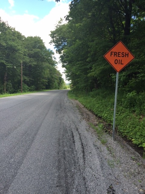
Back on course I saw the sign – “Fresh Oil.” Oh boy. A fresh tar and chip road. It wasn’t bad and ended when I crossed Johnstown Road (164).

BlueKnob09

I descended Knob Run Road, the same road that Chelsea Johnson, Chey Hillsgrove, and I climbed last week, being chased by a storm. I had better weather today and I was going down – not up.

BlueKnob10

I turned on Tel-Power Road and was surprised when I passed Winsome – a gated house, which is really, a gated horse farm. Sorry, no pictures.

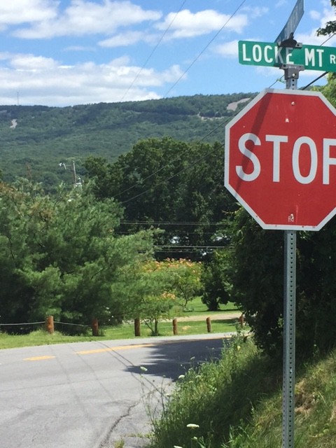
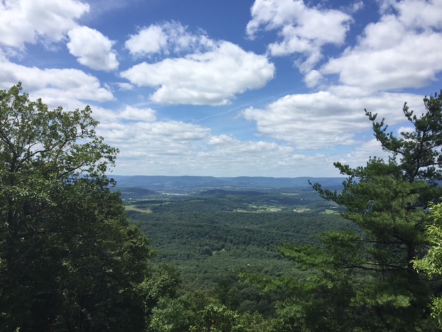
I came to Locke Mountain Road and looked at the ridge which I knew I would cross. I could see a tower at the top and a cut in the mountain which I knew was the road. OK.

BlueKnob12

Once the climb began in earnest, my GPS was sort of stuck on 12% for two miles. And using numbers from the road itself I calculate the climb was 10.2%.

BlueKnob13

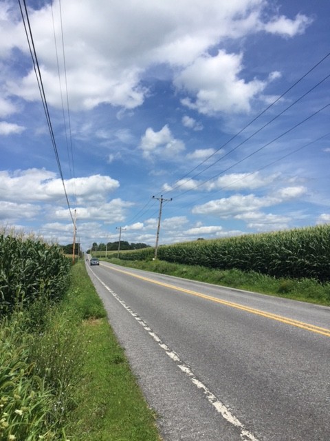
Over the top it was a nice descent, although with squishy brakes. I turned on Pa. 866 which was a signed Pa. Bike Route. No shoulders but light traffic. It was a seven mile run-in to Martinsburg, sort of lumpy, passing corn fields most of the way.

BlueKnob17

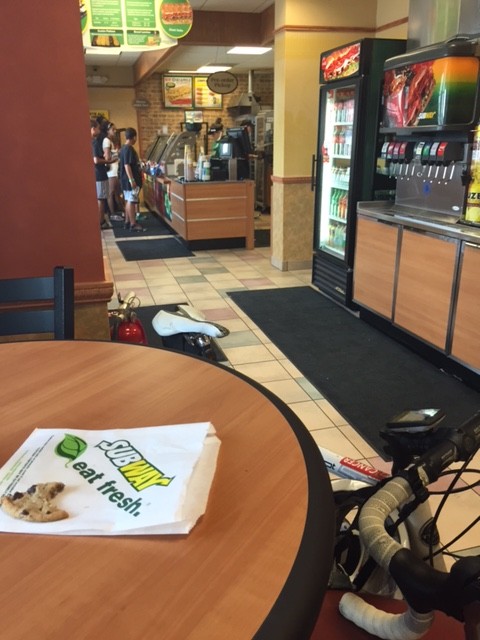
In Martinsburg, I stopped at Subway, mainly to refill my water bottles but I also bought a Coke and a cookie and sat down to eat it. The “water” lever on the soft drink machine is shared with Lemonade. I think the line had Lemonade in it because one bottle tasted more like Lemonade than water. And I didn’t want Lemonade, but I’m not mad.

BlueKnob14

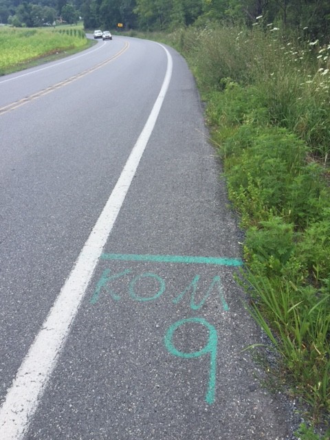
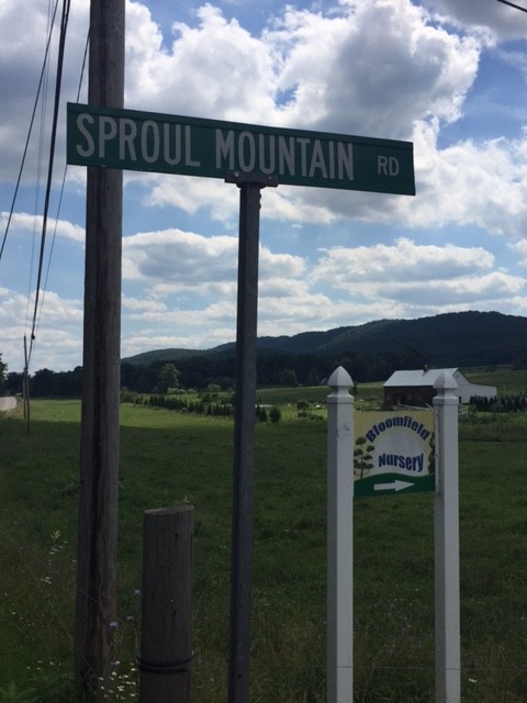
I watched my Garmin as I navigated to Sproul Mountain, swearing every time I saw a rise ahead. Sproul Mountain wasn’t long but it was steep, especially the lower slopes. I passed the KOM-9 start, assume it was there from the Central Pa. Century Challenge, run by my friend, Richard Fiore.

BlueKnob19

The climb is one mile in length. I calculate it to be 7.6% with the lower section steeper than the upper portion. Over the top I got in a tuck and hit 48 mph (47.95). I probably could have pushed it to 50 but remember the advice of Wayne Stetina who told me two years ago he never bombs a descent he doesn’t know. Speed was not an issue today.

BlueKnob18

I finished at Sheetz and my legs felt like they have been through the wringer. Either 5800 or 5900′ of gain over 57 miles. Only Grand Mesa, in Colorado, was harder this year. This ride, simply, was a good challenge.

BlueKnob15


Loveland Pass and Golden

GOLDEN, COLORADO
DAY 6 – RIDE THE ROCKIES
I rolled through downtown Breckenridge at 6:45 a.m. It was still quite chilly. Cold, actually. We took the trail out that we had ridden in on yesterday. Those last ten miles of “flat” that I struggled with so much yesterday? I coasted the whole way today. I struggled because I was going uphill yesterday. Glad to know the reason I sucked was because it was uphill.
Swan Mountain


I was expecting a climb to Loveland Pass but we first began with a climb up Swan Mountain. Nice little warm up. As we were climbing someone in a Jeep screamed “asshole” among other things. It was the only road rage I witnessed in Colorado.
And what goes up must come down. We descended over the top to about the same elevation we started from. The ride down was nice but I knew that meant we had to climb again. I’d prefer to start climbing and keep climbing.
Still haven’t tried these but very popular on Ride The Rockies

I was and I wasn’t looking forward to today. I really wanted to get the climb over with and coast to Golden. I rolled out of the first aid station not sure how far it was to the summit. Roadside signs warned no vehicular traffic except for Hazmat trucks. (This was the Hazmat route to avoid the Eisenhower Tunnel on I-70.) We otherwise had the road to ourselves. As we climbed higher I saw some trucks had been pulled over for staging an escorted convoy.

Upper Section of Loveland Pass

I kept my heart rate low all day just pedaling within myself. The climb wasn’t particularly difficult, a lot of 6-7% grade, but it was long. Passing the A Basin there were skiers on the slopes.

Skiing at A Basin

I reached the top of the climb and immediately joined the line for a picture at the summit.  That took 15 minutes.

Made it to the top

The descent was beautiful with gorgeous vistas and sweeping curves. I did not bomb this part but at the bottom was Loveland Ski Area. As I made the turn there was yet a downhill ramp. I tucked and hit 51 mph before having to brake hard for the second rest stop.

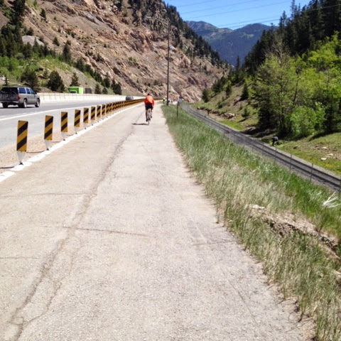
Trail next to I-70

We were next to I-70 but had a separate bike path through the woods. I could coast comfortably and safely at 30 mph down to Georgetown. It was gorgeous in the woods and some pines had recently been cut giving it a great aroma. But the path ended and we again shared a road, also downhill.

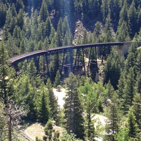
Trestle for Georgetown Loop Railroad

Believing the ride was entirely downhill to Golden and ignoring those spikes on the profile map, we had a rest stop in Idaho Springs. Shortly out of Idaho Springs we climbed Floyd  Hill which was a two mile 8-9% pain-in-the-butt climb. I saw many people walking, perhaps a combination of tired legs and heat. My Garmin was showing 99 degrees coming off the pavement. It was the first time we dealt with heat the entire week.

After a nice respite of downhill we began another climb towards Lookout Mountain. Here we entered and rode on I-70 for two exits. That was an experience. Once we exited we had some rollers over to Buffalo Bill’s grave site and Lookout Mountain. And a needed water break.
Leaving the stop at Buffalo Bills it was all downhill to Golden. This time that was the truth. Steep. Hairpin corners. Two guys passed me and I let them go. I remember Wayne Stetina telling me last year that he never bombs a descent he hasn’t seen before. I figured they had ridden it before but I wasn’t taking any chances. All downhill to the finish in Golden. Plus, I was stuck behind a car most of the way and didn’t want to be “that guy” who passed a car with a double yellow line.
Golden from Lookout Mountain
 Whereas last year I met four pros, this year I didn’t meet any. But I enjoyed the company of Mike with one arm, met interesting characters along the way like the two “chicks” on Tennessee Pass ringing cowbells, and saw the staff from the Davis Phinney Foundation. It was a very good week.
Golden. The End.

EPILOGUE – Arriving Golden I parked my bike and enjoyed a Smoothie. I attended the closing ceremonies and did not win a bike or anything else. Without transportation to the hotel, and why I didn’t find a hotel in Golden I do not know, I called Yellow Cab of Boulder. I was promised a cab would arrive in 20 minutes.

Pedal Your Own Smoothie

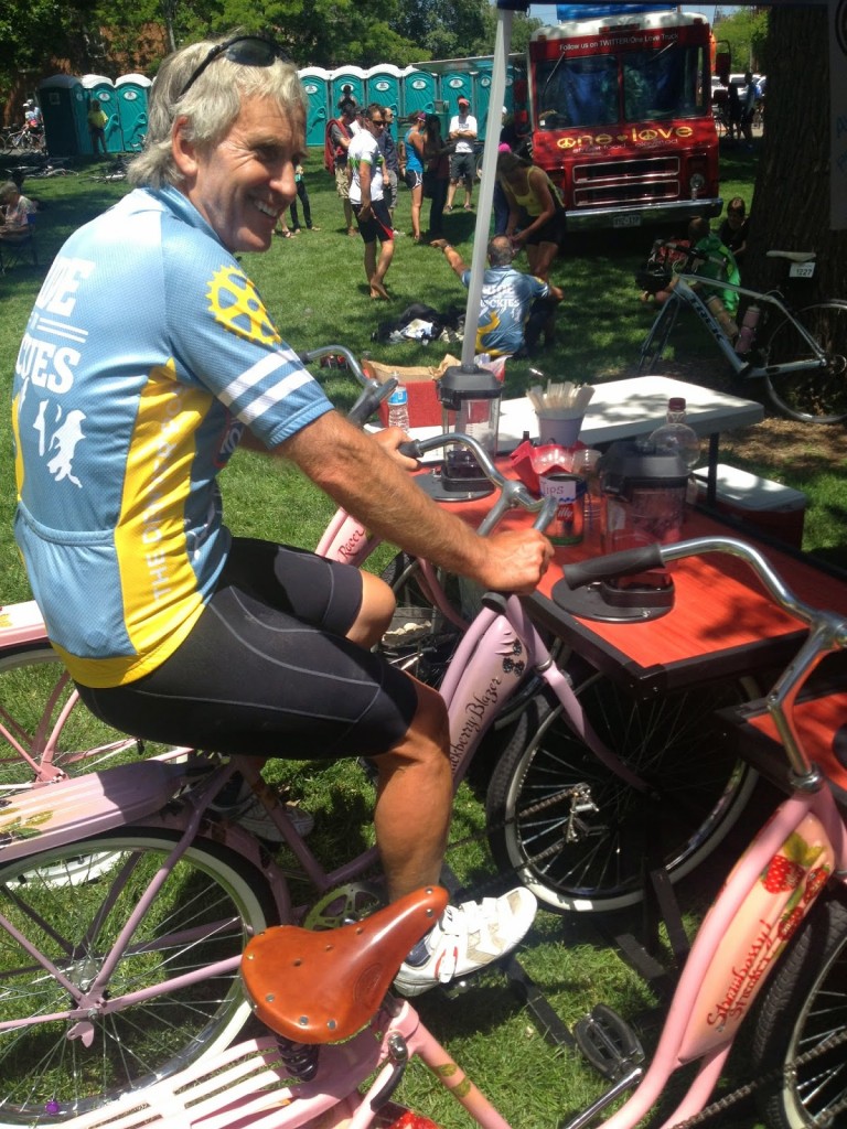
As I was gathering up my bike to meet the cab I noticed a couple eying my bike. They saw the FUCANCER sticker and asked if I knew Jan Stover from Virginia. I did. We had a pleasant conversation and they stated they would take me to my hotel “except I have a bike.” The wheels come off. I can make it small. Oh well…

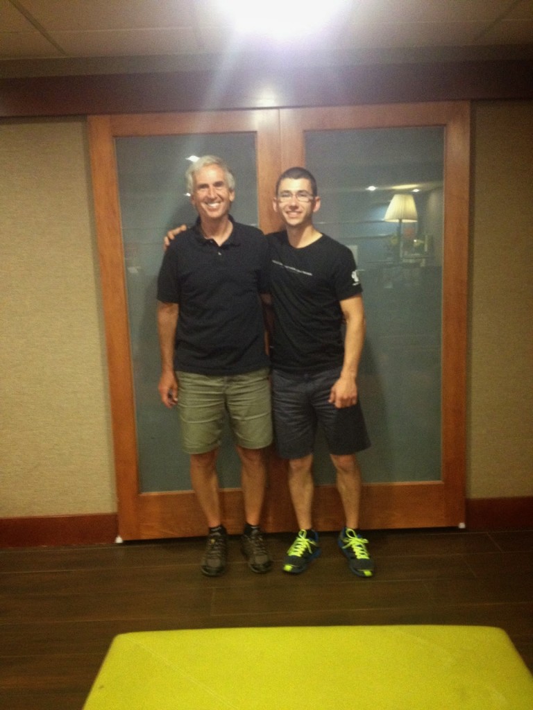
Barry with Brad Allen

One hour later. Two hours later. No cab. I called each hour only to be promised one was on its way. The first call was at 3:20. By 5:15 p.m. I called Bradley Allen in Boulder and he said he would be there within the hour. The 4K alumni are awesome. He came, took me to Westminster and we enjoyed a nice dinner. It was a great way to end the official week of Ride the Rockies.

By 6:20, three hours after I called, the cab never showed. I would never call Yellow Cab of Boulder for anything.

Alamosa

ALAMOSA, COLORADO

The day that scared the peleton. I laughed.

On paper, the first 24 miles were uphill including the last eight miles up Wolf Creek Pass, a climb with switchbacks that crosses the pass at 10,856′.  It was a daunting profile.

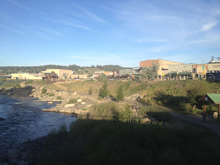
Rolling out of Pagosa Springs viewing the San Juan River

It was cold – the usual 48℉. Or less. I only wore arm warmers to keep me warm. The temperature here in the high desert was very cool or cold in the morning and then 100℉ by noon.

My legs felt like crap. This was not a good omen for climbing. Despite the profile showing all climb it seemed like there was a lot of downhill and old men and old women were passing me. 


On the road (U.S. 160) to Wolf Creek Pass

On the bus ride out on Saturday, the guy I sat with mentioned to me that recovery, or lack of it due to altitude, will show up in Day 4 and I wondered if that was going to dog me today. It seemed that way. But why not Day 2 or Day 3?

One rider said this ranch we passed sold for $90M during the real estate boom

I pulled into the aid station at Mile 16 which also signaled the start of the real climb. The first 15 miles averaged one percent. Not much of a climb but still a climb. After using the port-a-john, they were generally very clean throughout the tour, I started the climb. This didn’t scare me. I think.

I did not have the tools or perhaps the courage, to look at the climb portion on Wolf’s Head. We stayed at 7,000′ in Pagosa Springs and would climb to 10,857′. The average grade for the next 8.5 miles was 6.5%.

When the legs hurt you see these guys with hand cranks. RESPECT!

This was to be the climb of the week. I decided I would occupy my mind by making a game of it. I would count every rider that I passed and count every rider that passed me. And hoped that I passed more than passed me.

Lauren Hunt (middle) of the Davis Phinney Foundation
Scott Olson and I shared a breakfast table with her this morning.

I just chugged away. It was 60 to six in favor of me passing riders. Then 102 to 10. I kept going. At the top, I was briefly passed by a rider but passed him back before the summit finish for no change. In the end, I was passed by 22 riders, including former pro Wayne Stetina. I passed 240.

The scenery was stunning. No pictures could capture it well. Maybe if I had stopped and took pictures I could have, but I wanted to keep climbing without pause.

Each day there was a designated Aid Station with a disk jockey or emcee. Today he was at the top of Wolf Creek Pass. He was having an egg shampoo contest which was a regular feature for him. Well, it was no contest. Just if anyone was willing to smash an egg on their head and rub it in, he would give them a t-shirt. It was most popular with men who shaved their heads.

The top of Wolf Creek Pass

With the climb over, the rest of the day should be easy. On the profile sheet the descent looked like a 68-mile downhill. It wasn’t.

The ride off the pass was wild. It wasn’t quite straight as an arrow, but nearly, and didn’t seem terribly steep. But it was long. The first six miles were the steepest but there was a good 14 miles or so before it leveled off.

Riders on the shoulder approaching the tunnel on U.S. 160

I rolled off the top of Wolf Creek Pass and got in a tuck. Volunteers were warning us to take it easy and all riders I saw were on the shoulder. I took the lane. At high-speed, I don’t like riding on shoulders because there is often debris there that isn’t in the travel lane.

No words

Although not terribly steep, when one has long straight roads even at six percent grade one can pick up speed and I did. I hit 54 mph – a new personal best, and when I felt a little shimmy in the bike I decided 54 was fast enough. As I came to a tunnel I was warned of high winds at the other end and briefly applied the brakes. Heck, I stopped to take a picture.

The first six miles over the pass I averaged a nifty 40 mph. If only all rides could be like this.

After the aid station at South Fork, Mile 44, I rolled out alone. It was getting hot, it would be in the low 90s, and it was windy. It was tough being out in the wind and a group of about 30, which violated the RTR rules of no more than five in a paceline, came by. The guy at the end invited me to join. I could not resist.

The train was driven by four Belgians — four Belgians that I had passed on the climb. But they knew how to ride in the wind and they drove this and gave everyone a free ride. I felt bad but being on 30th wheel I was in no position to go to the front and help.

Hey look – Belgians!

After a rest stop in Del Norte (Mile 59) I rolled out with some folks that I had just ridden with in the big group. One guy did all the work and when we were passed close to the next station he had nothing left to stay with them. I went to the front and tried to take him back up to the group. I bridged up to them. He didn’t. But we were in Monte Vista.

In Monte Vista the Tour served hot baked potatoes. With green chili and salsa. Perfect.

Hot baked potato in a helmet

The next 18 miles to Alamosa were dead flat. I joined the group that I had finished with and was the only time I did not feel accepted. I took my pulls. But the alpha male in the group was a woman, Jane, from the U.S. Forest Service, and it just wasn’t a friendly experience. I was looking for an exit strategy but we were on Highway 160 which was under construction and had lots of truck traffic. There was no safe place to escape to. I rode with the group all the way to the school, Ride the Rockies’ headquarters, having passed by my hotel, the Hampton Inn, miles earlier.

In Alamosa

After some exploring of Alamosa, I finished off the day making it a century. Plus four.


Back at the hotel, a very nice Hampton Inn, I grabbed my bag which was sitting in the lobby. Our bags were picked up from the hotel where we stayed daily and dropped at our destination. Alamosa sits at 7500′ in elevation. With my bag in hand, I saw there was a long line for the elevator. I decided simply to take the stairs to the third floor. I made it about halfway to the second floor before I was out of breath. Riding was no problem at elevation but climbing was.


Verified by MonsterInsights