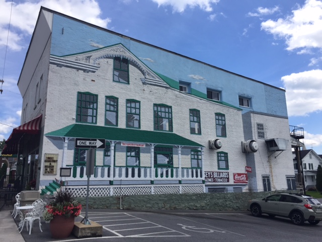
CLAYSBURG, PENNSYLVANIA
Exploring. I enjoy riding new roads and sometimes just will map out a new ride and go exploring.
Starting in Sproul, Pa., which I guess is a suburb of Claysburg (this is humor, folks), I mapped out a route over Blue Knob, down to Newry, then over Locke Mountain, through Martinsburg, then back over Sproul Mountain. I knew the course over Blue Knob then down through the valley. In all, I was familiar with 24 of the 57 miles so 33 of the miles would be exploring.
I started at Sheetz. (Where else?) I requested and received permission to park my car to go for a bike ride. I was hoping for four and a half hours.
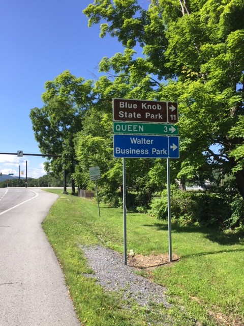
I left Sproul, went through Queen and into Blue Knob State Park. This route was new to me. There was a nifty little 1/2 mile climb at 15-17% at Mile 5. Unexpected.

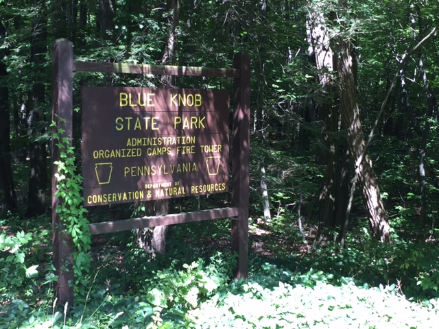
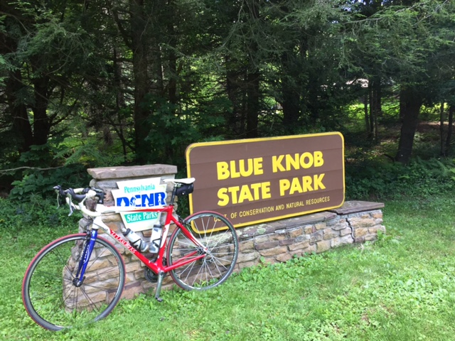
This was followed by a one mile climb into the forest and Blue Knob State Park. Then there was a one mile descent to Pavia at which time I realized my brakes need changed. Oops.
In Pavia I turned right and was back in familiar territory – the climb to Blue Knob. There were long sections of 12% grade and it was buggy. In the shade, which was plentiful, there were flies and gnats around my eyes. Damn insects.
I had mapped my ride to continue to Knob Run Road but at the last moment, turned right to climb all the way to the ski area. It was very windy at the summit, in fact, even at 70 degrees, I was starting to get cold since I was in a soaking wet kit (with sweat).
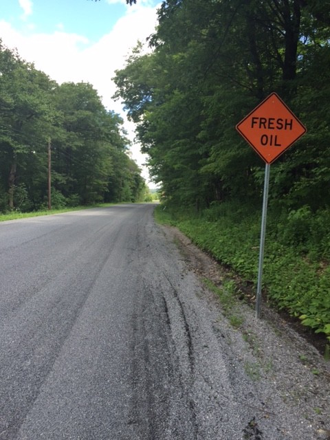
Back on course I saw the sign – “Fresh Oil.” Oh boy. A fresh tar and chip road. It wasn’t bad and ended when I crossed Johnstown Road (164).
I descended Knob Run Road, the same road that Chelsea Johnson, Chey Hillsgrove, and I climbed last week, being chased by a storm. I had better weather today and I was going down – not up.
I turned on Tel-Power Road and was surprised when I passed Winsome – a gated house, which is really, a gated horse farm. Sorry, no pictures.
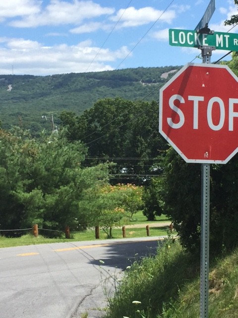
I came to Locke Mountain Road and looked at the ridge which I knew I would cross. I could see a tower at the top and a cut in the mountain which I knew was the road. OK.
Once the climb began in earnest, my GPS was sort of stuck on 12% for two miles. And using numbers from the road itself I calculate the climb was 10.2%.
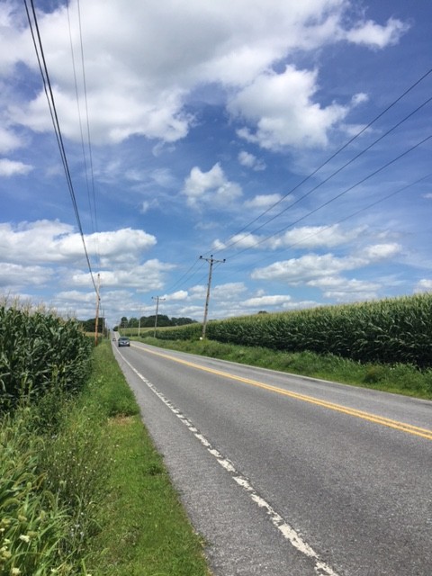
Over the top it was a nice descent, although with squishy brakes. I turned on Pa. 866 which was a signed Pa. Bike Route. No shoulders but light traffic. It was a seven mile run-in to Martinsburg, sort of lumpy, passing corn fields most of the way.
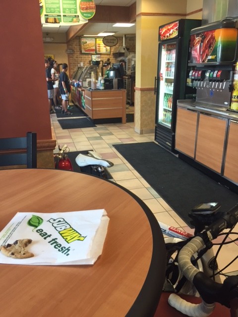
In Martinsburg, I stopped at Subway, mainly to refill my water bottles but I also bought a Coke and a cookie and sat down to eat it. The “water” lever on the soft drink machine is shared with Lemonade. I think the line had Lemonade in it because one bottle tasted more like Lemonade than water. And I didn’t want Lemonade, but I’m not mad.
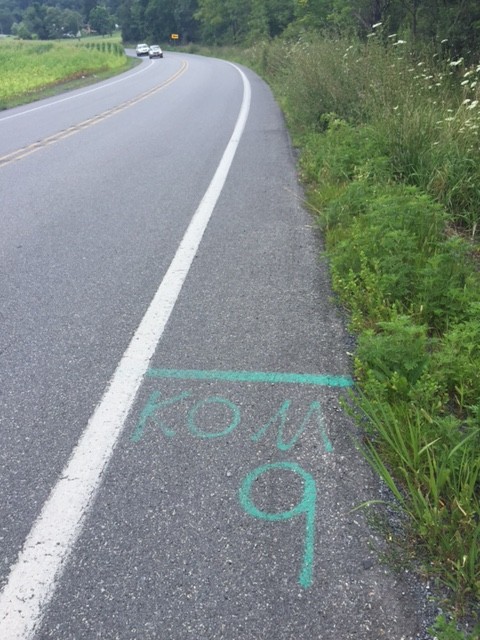
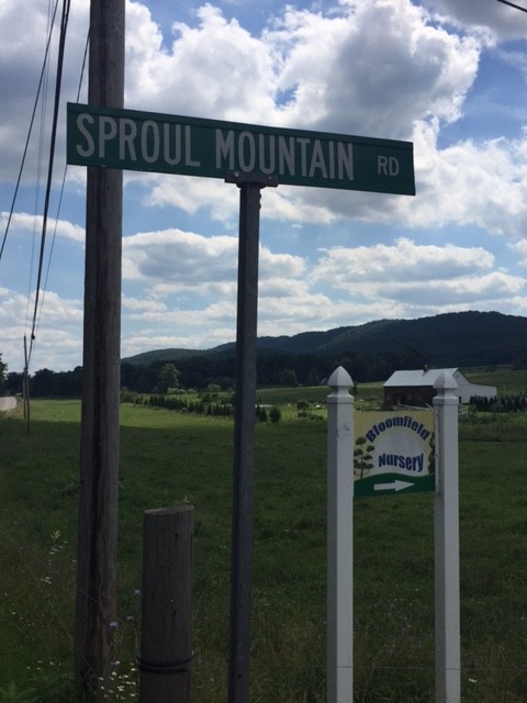
I watched my Garmin as I navigated to Sproul Mountain, swearing every time I saw a rise ahead. Sproul Mountain wasn’t long but it was steep, especially the lower slopes. I passed the KOM-9 start, assume it was there from the Central Pa. Century Challenge, run by my friend, Richard Fiore.
The climb is one mile in length. I calculate it to be 7.6% with the lower section steeper than the upper portion. Over the top I got in a tuck and hit 48 mph (47.95). I probably could have pushed it to 50 but remember the advice of Wayne Stetina who told me two years ago he never bombs a descent he doesn’t know. Speed was not an issue today.
I finished at Sheetz and my legs felt like they have been through the wringer. Either 5800 or 5900′ of gain over 57 miles. Only Grand Mesa, in Colorado, was harder this year. This ride, simply, was a good challenge.
