EASTON, MARYLAND
I have ridden out to St. Michaels and Tilghman Island 5-6 times from Easton but always by land. I elect to come back via the ferry. And that was my plan for today.
When I parked at Idlewild Park in Easton, a small neighborhood park, I made a decision to try something new. I would go out to the ferry as well as come back that way. Or at least give me the option of returning via ferry.
I was chasing miles. I am way behind on my mileage goal for the year so my goal today was a metric century (100 km or 62 miles). The roads here are nice. Flat. Most of the roads are two-lane with wide shoulders that often are marked as a bike lane but safe to travel in them when they’re not.
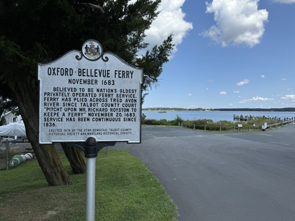
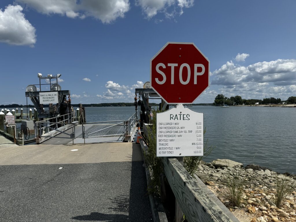
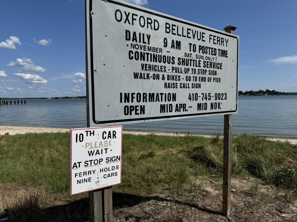
From Easton to Oxford it is 10 miles on a shoulder to the Oxford-Bellevue Ferry. After disembarking in Bellevue it is 4.5 miles on a narrow two-lane country road out to the main road to St. Michaels. Once on the main road, it is 15 miles farther to Tilghman’s Island. There is a wide shoulder the entire way except in St. Michaels.
One can stay on the main street through St. Michaels and share it with cars. It is signed for 25 mph so a bike traveling 20 mph is not much of a problem. One can cut through a beautiful neighborhood or even find a bike trail (slow) to avoid the downtown. If one stays on the street it is about two miles of “city” streets before exiting town and getting back on the shoulder.
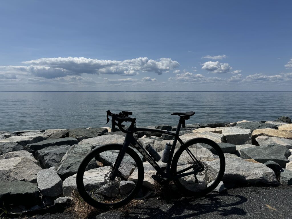
At Tilghman Island the shoulder ends and if you follow the road to the end it’s another three miles on a sparsely traveled country road. The distance from Easton, via the ferry, to Tilghman Island is 32.5 miles (51 km) of which 22.5 miles has a wide shoulder. Beautiful riding.
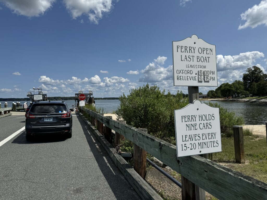
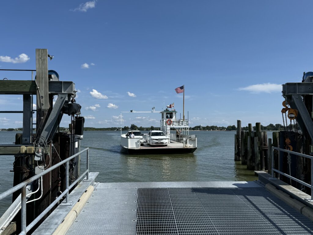
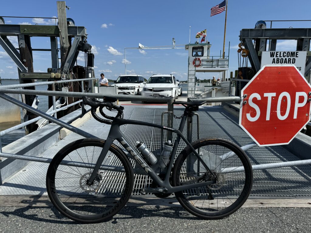
The ride out to Oxford was nice. On board the ferry a young man came by to collect the fare – $7 (for bikes, one way). He asked me if I wanted a round trip and I asked how much that was, knowing the car ferry was not double the one-way fare. He told me $14. I declined. That left the option of returning by the land road should I want to.
The winds were windy. Out here next to the Chesapeake Bay, it seems always to be windy. But the route I chose was an “S” loop and was out and back. Unless the winds shifted during my ride I figure equal parts headwind, tailwind, and crosswinds.
On the ferry was one car. The driver came over to me and asked me about my riding. Where I was going (Tilghman Island) and how far (60 miles).
My goal was a metric century and when I reached 50 km at Tilghman Island it was a perfect turnaround point. But so too would be riding to the end of the island. I rode to the end.
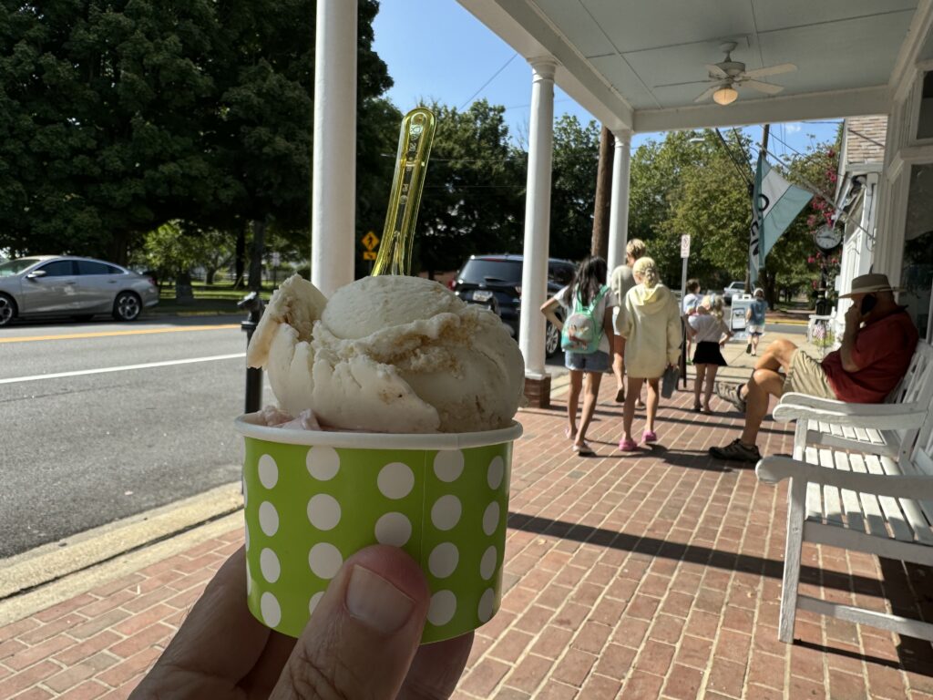
I seemed to be okay on my fluids and did not stop in St. Michaels for more water on the way back. I continued on to the ferry. My “oasis” awaited – the Scottish Highlands Creamery in Oxford.
There was a different fare-taker on board this time. I don’t think I’ve ever seen the same person twice collecting fares. There were two cars on the ferry. The driver of one came over to me to see how far I rode. It was the same guy I talked to going over. I rode 45 miles and he and his wife ate lunch.
Besides collecting miles, another goal of today’s ride was to gauge my riding speed. I would need that for the timing of my Delaware Bay ride. I finished with an average of 17.0 mph (27.4 kph) which was only 0.8 less than the last time I rode and we rode in a double pace-line the entire time. This was good and set me up for tomorrow.
DISTANCE: 65 miles
SPEED: 17.0 MPH