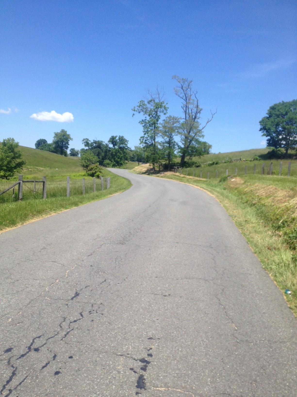
A New BlueRidger

MARSHALL, VIRGINIA

Oh how Strava Live Segments change everything. I came to ride the BlueRidger Proper (counter-clockwise). The weather was mostly sunny at the start but with a strong wind which would be cross-head or just a headwind for much of the ride. The temperature was 70°.

A few weeks ago I had ridden on Rectortown Road and found a segment I liked: Frogtown Road to Atoka Road. My goal for today: PR on that segment.

Rokeby Road, Upperville, Va.

I am loving my Live Segments but not every segment I sat seems to show up on my Wahoo. Once it’s there it stays but I never no until the next time I approach a segment if it will be a Live Segment. I rode off into a very strong headwind. Part of me said to just pedal through it while another part said to go for it. I listened to the bad me.

It did not show up as a Live Segment. Nor do I think that it would have done any good. I changed my time display to see elapsed time and went passed Frogtown at 8:48. As I approached Atoka Road I could see I was around 11:24. I knew I needed 2:24 and not 2:36. I was way off. And it was the wind. Well, at Atoka a woman looked at me and pulled out right in front of me causing me to sit up. I didn’t have to brake but I could no longer keep the pedals moving. So I settled for 3rd best of my time which was really tied for the second-best of my times. But way off the mark.

General Store at Airmont

The rest of the ride was uneventful. On Rectortown Road the road “bottoms out” as it crosses Goose Creek. I wanted to hit 40 mph here and I did. And then I got a Live Segment – GO! This was for Rectortown Test Climb. And even though I was riding into a strong wind, I decided to see if I could PR it. I was happy when 3:53 (New PR!) popped up. Old PR had been 4:15. Then I could rest the rest of the way.

House on Snickersville Turnpike near Bluemont

Fighting the wind, I averaged 16.1 mph out to Airmont. Without doing a deep search, I found a ride from 11 years ago where I averaged 18 mph on this part. But that was in a group; I didn’t fight winds in my face; and I was 11 years younger.

Bluemont, Va.

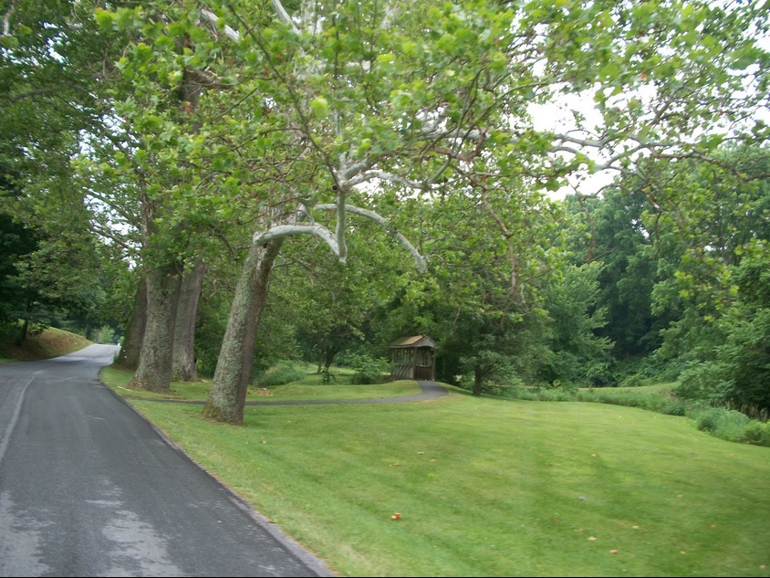
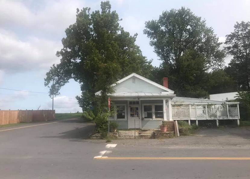
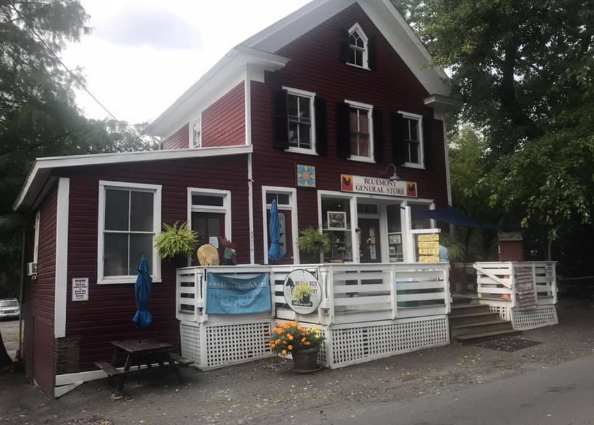
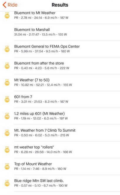
Passing through Bluemont, it appeared to me that some new construction has taken place since the last time I rode through here. There was a building on the left and then I saw the E. E. Lake General Store. Apparently it is a welcome center but has the old General Store facade.

General Store, Bluemont, Va.

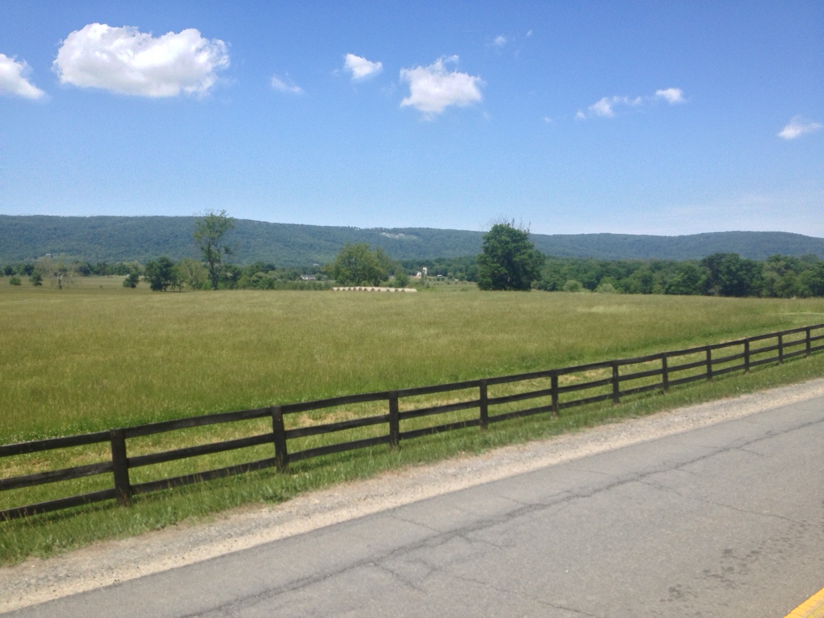
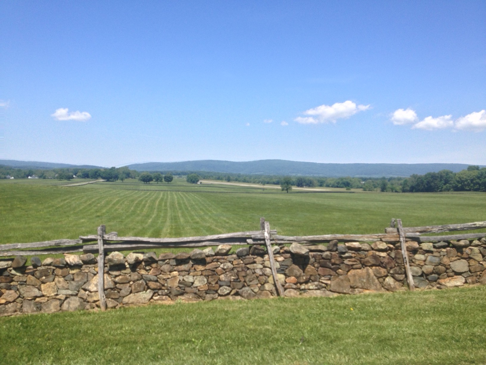
The climbs were pretty much as I remembered them. Moderately hard. There is a steep climb out of Bluemont on Snickersville Turnpike. It has a 180° switchback at the top and is flat over to Rte. 7. Rte 7 has a wide should as it climbs to the top of the pass. This is the easiest of the three sections here. And turning on Blue Ridge Mountain Road is a pretty steep climb with no end in sight. I still don’t know where it finally ends and dips down.

Ashbys Gap, US Rte 50, Paris, Va.

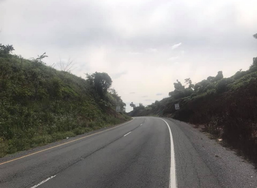
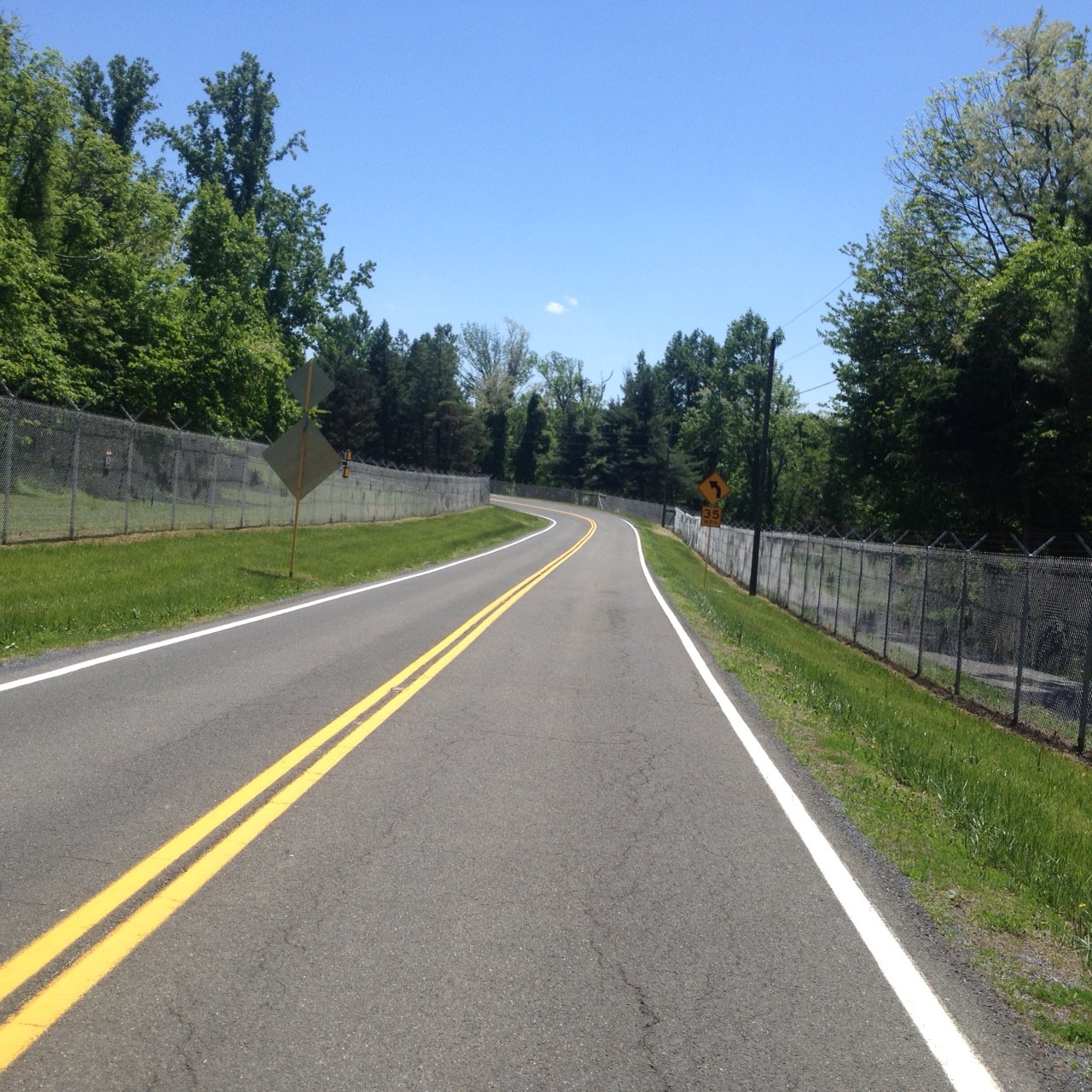
The ride off the mountain is nice. When I got to U.S. 50 I found it was too windy to descend without braking. That may have been the first time I rode here using brakes. But there were cross-wind gusts hitting me making it hard to control the bike.

Paris, Va.

Once on Leeds Manor Road I expected and received, a Live Segment for Naked Mountain. Once it starts the Wahoo displays the elapsed time, a contour map of the climb, your estimated time, and your PR time. My PR coming in was 9:06. Today I went through in 7:44.

Ashby Inn, Paris, Va.

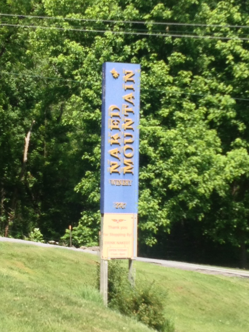
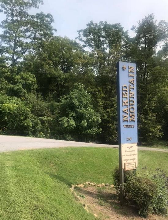
There is pavement on this road but it is rough. I wanted to descend faster but didn’t trust the pavement. Rounding a corner on a downhill the road turned up and a GO! appeared. This was for Naked Mountain Winery. It’s a short climb but I had no legs. Pretty much left everything I had a few minutes ago on the Naked Mountain climb. Wahoo disagreed. My old PR was 2:21 and I lowered it today to 1:41. I would like to see what I could do when I didn’t fight the winds.

Naked Mountain Winery

The last 10 miles from Markham I had great pavement and crappy pavement. I thought I had a tailwind but my speed was only 16 mph – the same as the first 20 miles into the wind. Maybe my legs were fried at this point.

I wanted to beat four hours and came in at 3:47. Goal accomplished. It was a good solo ride fighting the winds. Wish I could do better but Strava thinks I had a good day.

Strava PRs


Distance: 55.2 miles
Time: 3:45
Average: 14.7 mph
Weight: 180

Blue Ridger

MARSHALL, VIRGINIA

Four hours later and my legs are like Jell-O. Or feel like crap. Take your pick. The last time they felt this way after a ride was 11 months ago on the climb to San Pellegrino (Italy). And this was no San Pellegrino.

Looking back, which I’m good at doing, the signs were all there. My breakfast consisted of a handful of grapes and one banana. I carried no food nor money with me. I had two water bottles on the bike.

Rectortown Road north of Rectortown

The ride started out OK. I was late, very late, to the Park & Ride lot in Marshall. Most cyclists who do this ride start out early in the morning and it was almost noon. One rider was ready to go and I thought he might come over and ask me where I was going. He did not.

One underway I turned on Rectortown Road and headed north. In no time I caught the rider. I asked him where he was headed and he said he had no idea. I asked him if he wanted to do the Blue Ridger with me and he pretty emphatically said no way. I passed him never to see him again.

DELETEBR06

Although I have said my Altoona ride in 2010 was my first post-cancer ride, in truth I had come out here a couple of weeks before the Altoona ride, to see if I was ready. So this was my first post-cancer ride five years ago. As I rode I thought about my cancer diagnosis and treatment and where my journey has taken me.

DELETEBR07 DELETEBR12

I didn’t have a goal for the day. Finish. Not stop. Yes, that’s right. Don’t even put a foot down. Don’t ask why. That’s not the smartest goal.

In Bluemont I passed the Bluemont Country Store and started the climb up the north face of Mount Weather. It was not easy. I rode my Trek Domane which is not geared as low as the Trek Pilot.

Bluemont Country Store

This was my first climb of the year. I struggled. The first section is out of Bluemont to a switch back where one can recover before climbing the final stretch on Rte 7. The climb on Rte 7 was easy. It is graded for cars to cross the mountain and its 6% grade was a recovery section. But then I turned on Blue Ridge Mountain Road and it had sustained sections of 12-14%. As I was climbing I met two hikers come down.

Route 7 near the top of Snickers Gap

“How are you,” they asked.

“Tired.”

I asked them how they were and they said they were tired too. But they were going down, I was still climbing.

On top of Mt Weather

The top of Mount Weather, well, there is no top. The road goes up and down, always teasing the rider into thinking the descent is finally here and then another climb is in the way.

One passes a secret government facility (think X-Files, if you’re old enough) which is now run by FEMA. But for six miles, what seems to be the top of the climb is a series or rollers. Serious rollers.

Ashby Inn, Paris, Va.

I did reach the top and began my descent. I turned on US 50 and hugged the white line on this busy four lane road. Thankfully, the road from Clarks Gap to Paris is zoned for 45 mph and is downhill so I was able to maintain close to that (my high speed was 44.45).

On this day I felt good until the climb. I knew it took a lot out of me. It felt good to sweat on the bike and I sweated a lot. But now was payback time.

I rolled through Paris (Va.) and came to US 17. Riding on US 17 through Crooked Valley wasn’t bad. There was a small shoulder easy enough to ride. Then I turned on Leeds Manor Road and the pavement was terrible. Uneven. Rough. Lots of holes.

A description of this route is counterclockwise is the hard way up Mount Weather and the easy way up Naked Mountain. My only hope, and what I clung to, was I at least had the easy climb on Naked Mountain.

Naked Mountain Winery

It wasn’t easy. It was hard. Damn hard. And I had two or three sweat bees constantly land on me as I tried to swat them off.

I summited the climb then began the descent off Naked Mountain on a real rough road. I felt better when I reached James Madison Highway (aka Rte 55) since the pavement was great. But I was going into a headwind.

Tired at the end
Tired at the end

I suffered the last 10 miles and knew I wasn’t going well. Only later would I discover that that was my worst time ever ride the loop. It was my worst time up Naked Mountain, but astonishingly enough, I had my best time on the climb up Mount Weather. Perhaps pushing a higher gear than I have in the past improved my time at the expense of zapping my energy.


A Different Father’s Day Ride

MARSHALL, VIRGINIA

Two years ago I set out from Woodbridge to ride to Charles Town for Fathers’ Day. Dark clouds were in the air and the metaphor was obvious.  

Today there were dark clouds, and even a little rain, but no metaphors.  

There was a Potomac Pedalers “CC” ride out of Marshall, the Blue Ridger, and I first thought that I would drive to Marshall and ride with them to Rte 7 and then break off and head to Charles Town. But the more I thought about it the more I knew I didn’t want to join them.  

Their route would be in the traditional counter-clockwise direction which means they would put in 25 miles before they do any climbs. I wanted to climb Naked Mountain and Mount Weather.  

I watched them take off at 8:40 a.m. and I was on the road six minutes later. In the opposite direction. My route choice would let me do the climbs.  

It’s been a while since I climbed Naked Mountain in this direction. It kicks up to 17% on this grade. From Markham it’s a 3.5-mile climb to the top and from Rte 17 at Paris, it’s a five-mile grind to the high point on Mount Weather.  

My descent to Rte 7 got me to 47 mph. I could have gone faster but had to stop at the bottom of the hill. This is also where I met the Potomac Pedalers group. I left six minutes later and traveled 30 miles and climbed two mountains including 8.5 miles of climbing on two slopes in the time they went 25 miles and had no climbs. That was a slow ride and one I was glad not to be a part of.

And to be fair, they may have had a 20-minute rest break at the general store in Bluemont. I’m not a fan of long stops either.

At Rte. 7 I turned left (west) and headed down to the Shenandoah River. Following a new route, I took Shepherd’s Grade Rd to Wycliffe then Kabletown, before finding Old Cave Road.  

I never unclipped or put a foot down for 50 miles from the start until I got within a mile of Ashley’s place. At a railroad crossing that was blocked for repairs, I had to walk my bike over the tracks.

Old Cave Rd., Charles Town, WV

The uncertainty of what lies ahead weighed deeply on my mind two years ago. Today I thought of my life as a survivor. A much different Fathers’ Day ride.

The BlueRidger Proper

MARSHALL, VIRGINIA

Subtitle: — A Group of One. Again.  

When I rode the BlueRidger in April it was 95°. Today it was in the high 60s. Global warming indeed.   The only difference was the direction. In April we rode in a clockwise direction, riding up Naked Mountain and then Mount Weather before descending to Bluemont and our planned rest stop.

Today it was counterclockwise. This is the BlueRidger Proper. The difference in the two routes is less the climbing but more the safety factor. If we ride in clockwise we have the harder way up Naked Mountain but the easier climb up Mount Weather. But it’s not just a matter of pick your poison because counter-clockwise is harder up Mount Weather but easier up Naked Mountain.

At Paris, Virginia, there is a half-mile stretch on U.S. 50 which can be heavily traveled. There are no shoulders here. If we do the clockwise direction, we are on the road climbing at 10 mph or so. If we do the “proper,” then we come off Mount Weather at Ashby’s Gap and have a one-half mile downhill in which one can easily maintain 40 mph on a road signed at 45 mph. IMHO, it is much safer to ride the proper direction just for this section.

Today’s ride was advertised as a B ride and was the best ride on the list that I could find. I counted 28 riders at the start and I started in the first third. Within the first five miles there were just five of us at the front setting a pretty good pace. “A” riders I figured. Probably the best ride they could find too.  

I took my turns at the front and had the misfortune of doing a “pull” on an incline. When I dropped off I could not match the pace of the group and I was toast. I rode solo but not for long. I was caught by two other riders and the three of us stayed together for a while until we came to another long incline.  

Didn’t anyone know it was my birthday and they were supposed to be nice to me? I wanted to do a birthday ride of at least one mile per year and this one worked.   After 3-4 miles I got dropped again and thought I’m OK watching them 100 yards up the road. After a mile or two of this nonsense, I was surprised by a group of six riders passing me.

Funny, riding solo I didn’t think I could ride any faster but it was easy latching on to the rear of their group and riding faster. Some of it is physics — it is easier to draft behind other riders but some of it’s just mental too — having a pacer in front.   Our group caught my other two up front and we rode together to Bluemont to our rest stop.

Without measuring it I would have told you that we were pulling a 1% grade the entire way but the stats say otherwise. For the 23.5 miles to the General Store, it is rolling but there is no real elevation gain or loss. We averaged 18.2 mph, That’s the advantage of staying in a group.  

After a 15-20 minute rest, while other riders straggled in, a group of 14-15 of us all departed for the climb out of Bluemont up to Mount Weather. I passed those who I was going to pass on the climb out of Bluemont, which was maybe half the group. Then I settled into my own pace. I hate that.   My own pace had me between groups of riders. I couldn’t catch the riders upfront and I was too stubborn to allow myself to be caught by those behind me. Mostly it’s the fear of being caught and then not being able to stay with the new group.

The summit of Mount Weather is rolling with some additional climbs and some descents before reaching the two-mile descent to Ashby’s Gap and U.S. Rte 50. I could see the riders behind me about 300-400 meters but I was staying out in front. And I did.   By the time I got to Naked Mountain I saw but one rider behind me. And I wasn’t going to let him catch me.

After I came off the mountain I did sit up and wait for him. Part of it was being nice but part of it was I was first to a stop sign and there was traffic on the road. I had to wait for him.   It was raining and we were soaked. We stayed together for all but the final two miles. I have to rethink drafting in the rain. All it did was get me a face full of water when I sat behind his wheel.  

At times I thought he should go on without me as I was sure he was stronger after 50 miles in the saddle. But when we turned back on Rte 55 with four miles to go I set a pace that dropped him. Oops. My bad. But I had to. I could see about 100 yards behind him was a group coming on and I didn’t want to get caught by them.

So I opened a gap that kept growing. But the chasers were organized and overtook my friend and eventually overtook me too. Had they caught me on a flat I could have integrated with them but they were flying up a grade when they passed. I had nothing left to join them.

I was 20 seconds behind them to the lot and appeared to be the seventh rider returning. It is not a race but when you do well you pretend that it is. It was a pretty good finish.  

On the day I averaged two mph faster than in April. I can think of three reasons none of which I will claim that I am in better shape. I’m not. (1) It was 95° in April. (2) For the first part of the ride today I was in with a group that ramped up the speed whereas in April I basically was a group of one. (3) In April I dropped back and rode the final 23 miles with another rider who was struggling due to the heat.  

A final note: According to the ride table the “A” rides are 16-18 mph on Hilly Terrain. My final average was 15.9 — 0.1 away from an A pace. I can dream. Happy Birthday to Me!      

A Group of One

MARSHALL, VIRGINIA

It is April but unseasonably hot. In Frederick, Md., the temperature reached 97º (36º C). It wasn’t much cooler in the Blue Ridge.

This was advertised as a BB/B pace ride. While I often ride at a BB pace the problem with a BB ride is that some A riders jump in and ramp up the pace.

We left Marshall, Va. at 9:35 a.m. I was already hanging back adjusting my heart rate monitor. When we got to the open road I sat in behind five riders. The pace seemed slow — too slow, and when I got a chance I decided I was going to bridge up to the first group. Two groups had already formed and I wanted to ride with the faster group that was already about a half-mile ahead. I took off on my solo venture.

For the next five minutes, I could see the front group about 1/4 mile in front of me. So we had the BB Group followed by me a quarter mile back and then the B Group, another quarter mile behind. I truly was in cyclists’ terms, in no-man’s land.

During this time one thinks about the effort necessary to bridge up to the lead group and, once one reaches them, how tired they will be. But I was determined and I thought I was closing the gap. I also thought it might take 10-15 minutes before I could fully bridge to them.

I had gone a couple of miles when I crested a small ridge and began descending. When I reached the bottom of the descent I could see the road ahead for a half-mile and could not see the BBs. My first thought — the right one — was that they could not have added more time on me.

I sat up and pulled out my cue sheet for the ride. I had blown right by the first turn. Oops! A major oops!

After actually reviewing the cue sheet I decided to turn back and go back up the hill to the first turn. I had gone at least a half-mile and knew that going an extra mile would put me behind the B Group. And no one would know. If anything happened I was on my own.

I knew not to panic and not to try to put the hammer down to reach the B Group. I just wanted to ride at a steady pace. Of course, the quitter in me said turn around and go back while the finisher in me said to keep going and I would catch them. It might be in a mile, five miles, or ten, but eventually, I should catch them.

And thus began my long lonely journey of the 56-mile Blue Ridge Ramble.

I went out to Markham and turned on Leeds Manor Road. This would take me over Naked Mountain. The ride up the hill was a little more formidable than I expected. There were long stretches of 10%-12% grade, even kicking up past 14%. I just rode a steady rhythm and kept drinking. And eating Sports Beans (by Jelly Belly).

The descent off the east side was nice; my first 40+ mph speed of the day. I could have gone faster but the pavement was very rough. I rode the shoulder on US 17 to Paris, Va. In Paris, I asked a woman who was walking if a group of cyclists came by. She said they did. When I asked how far they were ahead she told me she saw them when she was down by the stop sign. “So however long it took me to walk from the stop sign to here.”

Yea. Helpful. At least I knew they were ahead which, of course, they had to be.

I then began the climb up US 50 (no shoulder!!!) to Clark’s Gap and then up Mount Weather. I had three water bottles with me and was trying to ration them to the store at Bluemont. Actually, I was trying to ration them to the top of the climb and figured I could do without water on the descent to Bluemont. I knew I would connect with the group at Bluemont.

Around mile 26 I was on top of Mount Weather. After a couple of miles or so of “rollers” up ahead I saw one of our riders, Klara Vraday. I had pretty much forgotten I was on a group ride and was just enjoying a solo venture. I quickly gained on her and surprised her when I said “I bet you thought you were the last rider.” I had ridden 28 miles solo.

We would have stayed together but just as soon as I caught her there was a screaming descent coming up and I wanted to bomb it. I hit 48 mph going down to Rte 7 but it does go down to Rte 7. Rather than go for 50 mph, which I wanted to do, I thought the prudent thing would be to apply brakes.

I stopped the Garmin timer waiting for Klara then forgot to restart it when I started the descent down to Bluemont. It cost me at least a mile in recorded distance and killed my average speed because I was flying down the mountain. And Garmin simply drew a straight line from where I turned it off to where I restarted it. How would it know?

We stopped in Bluemont, refueled and hydrated, and took off for Marshall. There were six of us together to cover the last 25 miles. We were still on Snickersville Turnpike when we dropped Klara. I announced this to the group then dropped back with her and brought her back to the group. This happened a second time and I did the same. The third time it happened I told the group to go on and I would shepherd Klara back to the start. She was having problems dealing with the heat and was really annoyed because those were her friends who dropped her and a stranger was the one who dropped back to escort her back.

This was a good training ride. The heat took its toll but it’s good to train in these conditions. It must make me stronger. At least I hope so.

It’s missing one mile at Snickers Gap but did record the high speed of 48 mph. And check out the elevation map. 


Verified by MonsterInsights