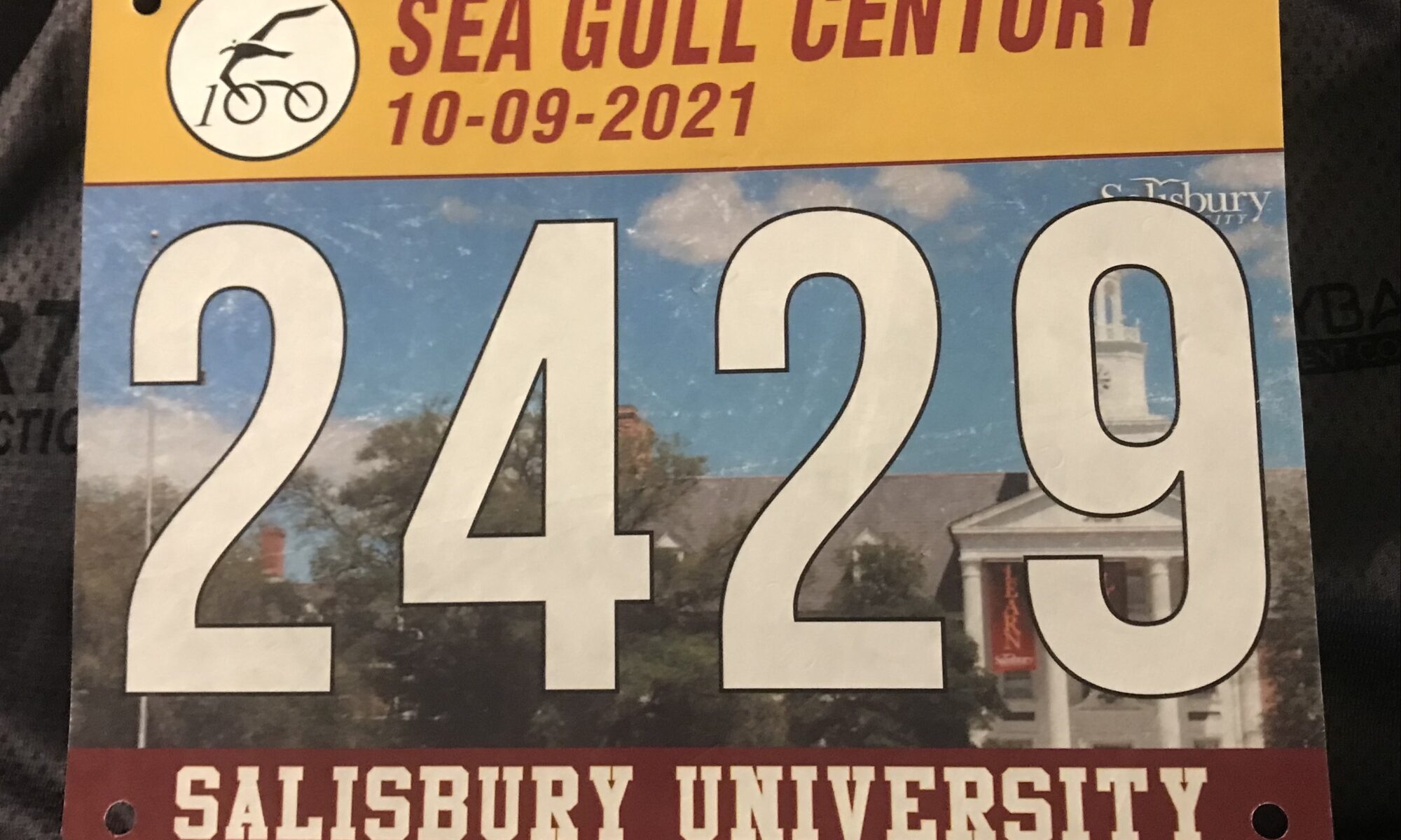
Sea Gull Century

SALISBURY, MARYLAND

Officially this was my seventh Sea Gull Century. Officially because last year it was canceled but I rode it anyway.

Start line in Salisbury

Each Sea Gull brings new experiences and memories. In 2016 I met and rode with some members of the Blair Cycling Club. In 2017 I just rode solo. In 2018 I basically towed Sandra for 60 miles and she never thanked me or said goodbye. In 2019 I met Andrew and Stacey which was refreshing. Last year was unofficial and backward.

Major Taylor Cycling Club, Columbus

I didn’t know what 2021 would hold. Let’s start with breakfast. I stayed at Tru by Hilton in Georgetown, Delaware. Although the breakfast area was fully lit, they would not turn on the juice machine or pancake maker until 7:00 a.m. I left at 6:10 a.m.

Major Taylor Cycling Club, Columbus

I went through the drive-thru at McDonalds and went with the standby of hotcakes (no sausage). Actually, I was quite happy with the breakfast.

Snow Hill, Md.

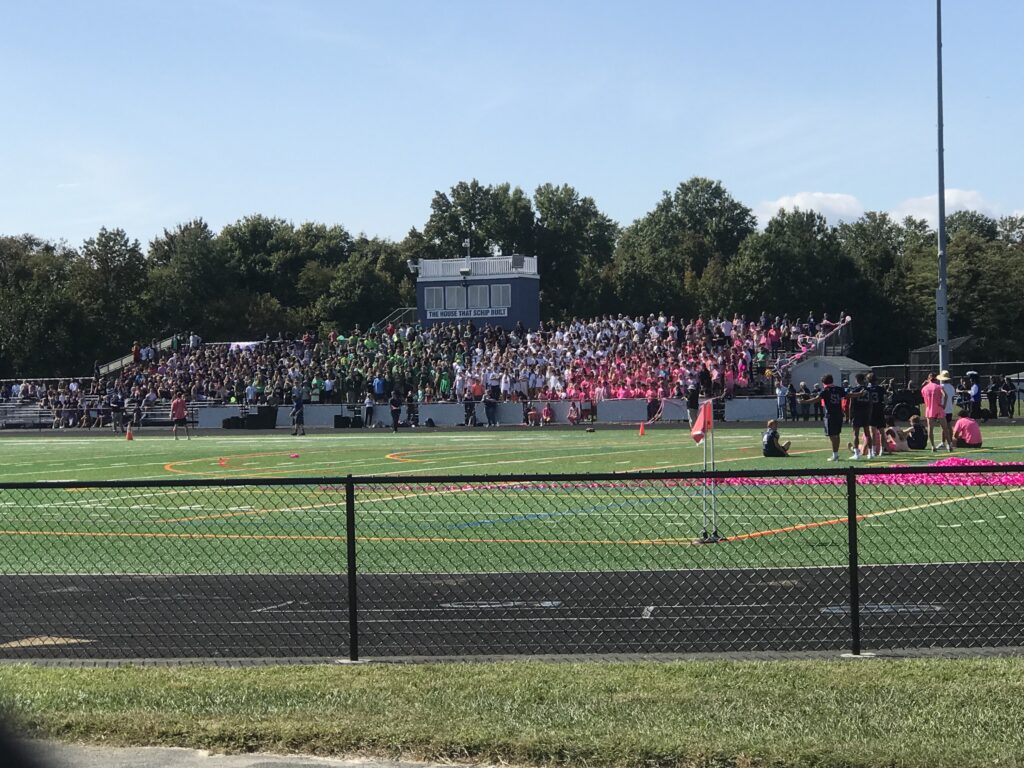
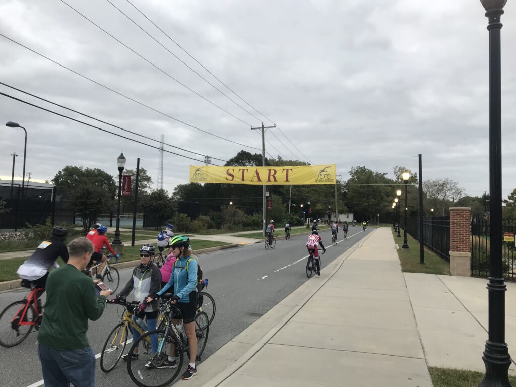
In Salisbury, I parked on the street next to the stadium. I liked this spot. Much better than a big lot or a field. It was gray and 62º. I wore arm warmers and took a rain jacket which I would not need. I was wheels-down at 7:40 a.m.

Rest Stop, Assateague State Park

Today I wanted to be real conscious at doling at my effort. Easy in the first third is the adage. And in the first hour, my perceived effort was a two (out of 10). My heart rate seemed to never go above 115. I was riding easy.

Snow Hill, Md.

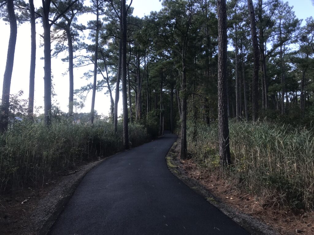
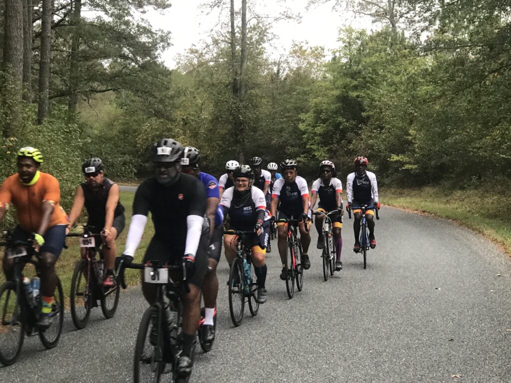
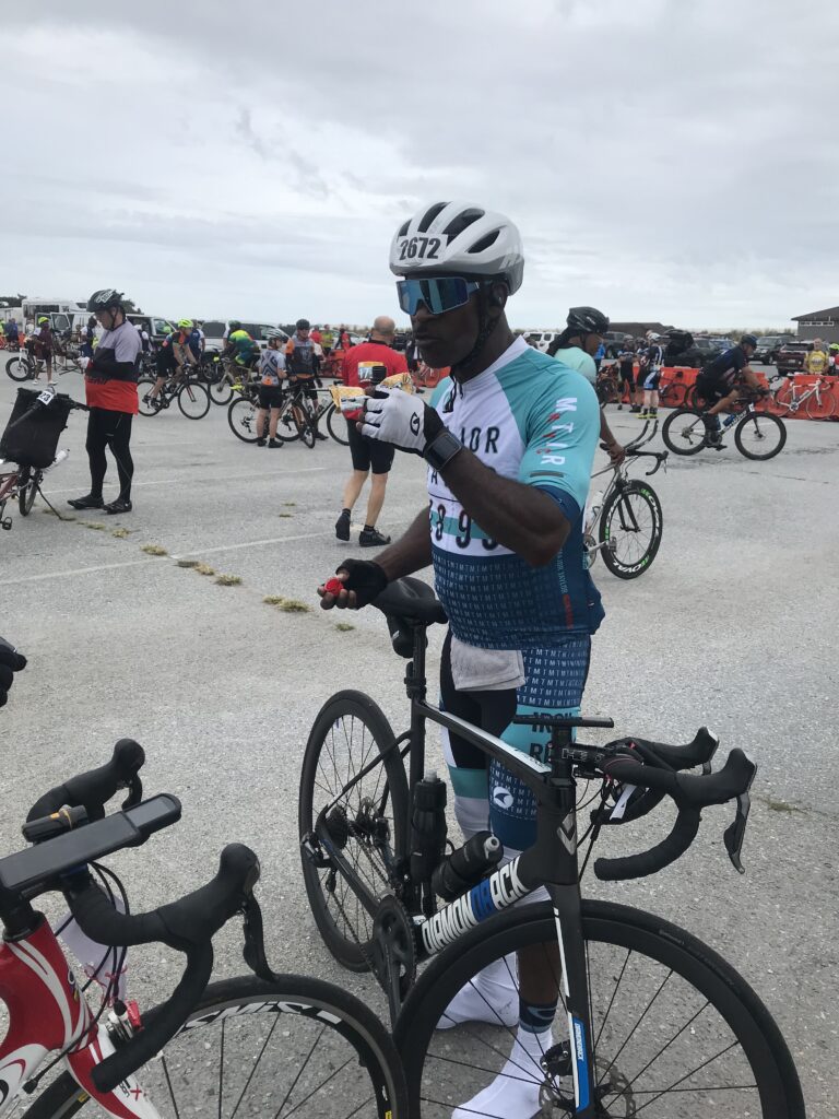
I looked for a place for a natural break and found it behind a truck parked in the woods. When I rolled out I jumped in with a Major Taylor Cycling Club group from Columbus. These people were truly delightful. I enjoyed riding and conversing with each rider.

Country Riding

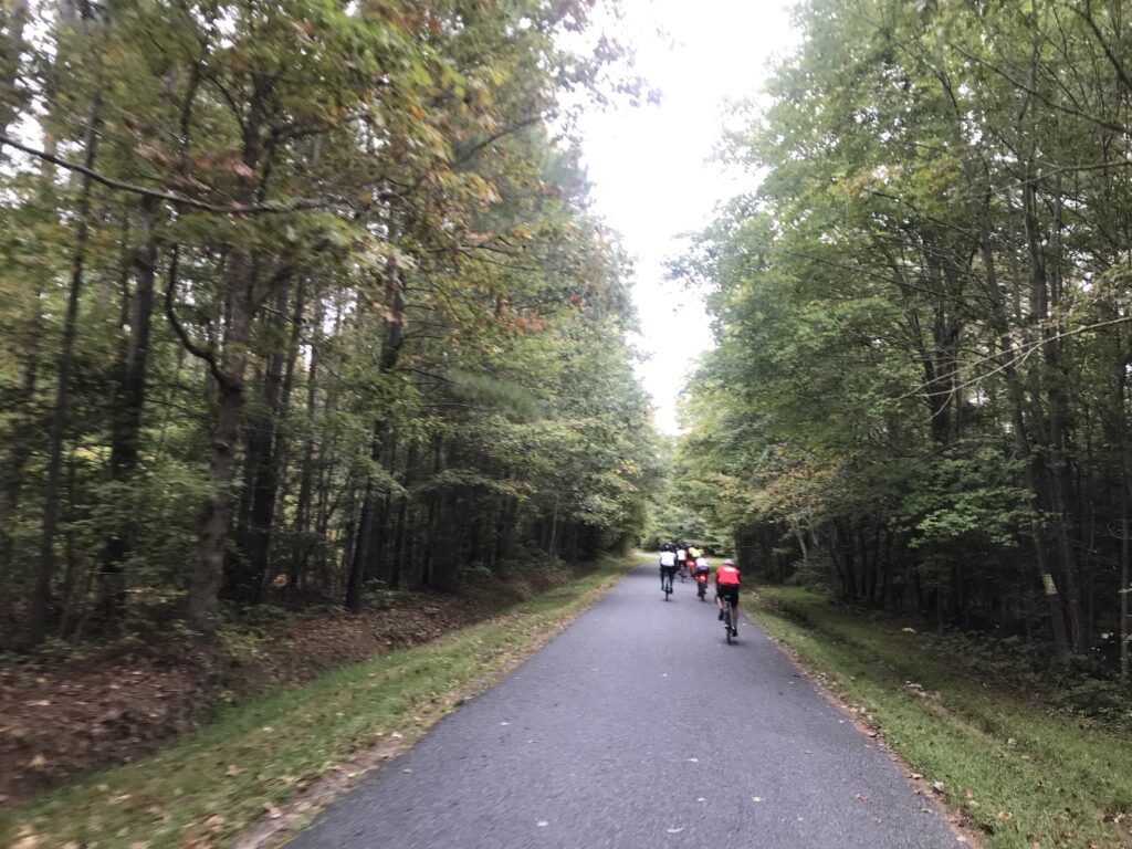
This ride attracts a number of Major Taylor Cycling Clubs from all over the east coast. Most (all?) are people of color and today I found my niche riding all day with Major Taylor riders.

The first rest top was in Snow Hill, Maryland. The police had a separate route for cyclists to the rest stop and it reminded me of RAGBRAI. It was so crowded you (almost) needed to dismount and walk your bike.

Please Don’t Run me Over

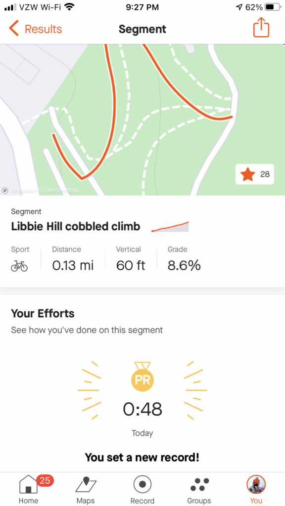
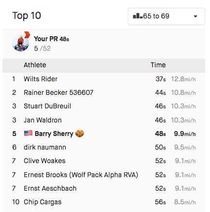
I had integrated with a group before the second rest stop. While almost everyone went to the rest stop I continued straight. I caught onto a new group. This one was a little awkward. I was looking a Strava Live Segments and knew I could set a PR on a two-mile segment if I could pass this large group. It was a large group and since we were on a country road with good visibility of oncoming, the group was spread across the entire road.

Assateague State Park

I had to fight my way through the group to the front. I heard someone say “he is really moving.” I take that as a compliment. I was also going into a brutal headwind. I got the PR, went about one mile further then pulled over and removed my arm warmers. This was strategically done simply to allow them to catch me without admitting they were catching me. Then once they went past I went and caught up to them.

Mile 80 Rest Stop

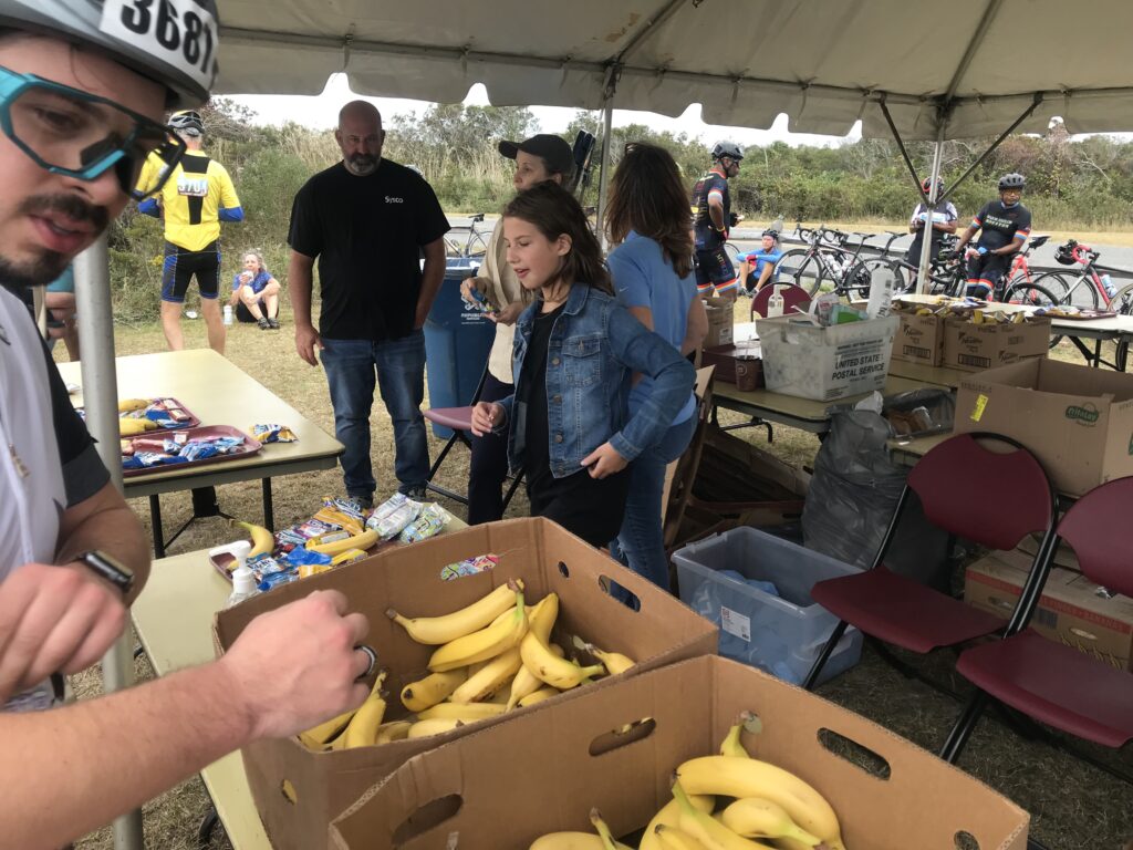
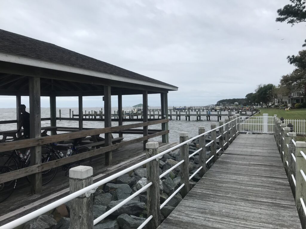
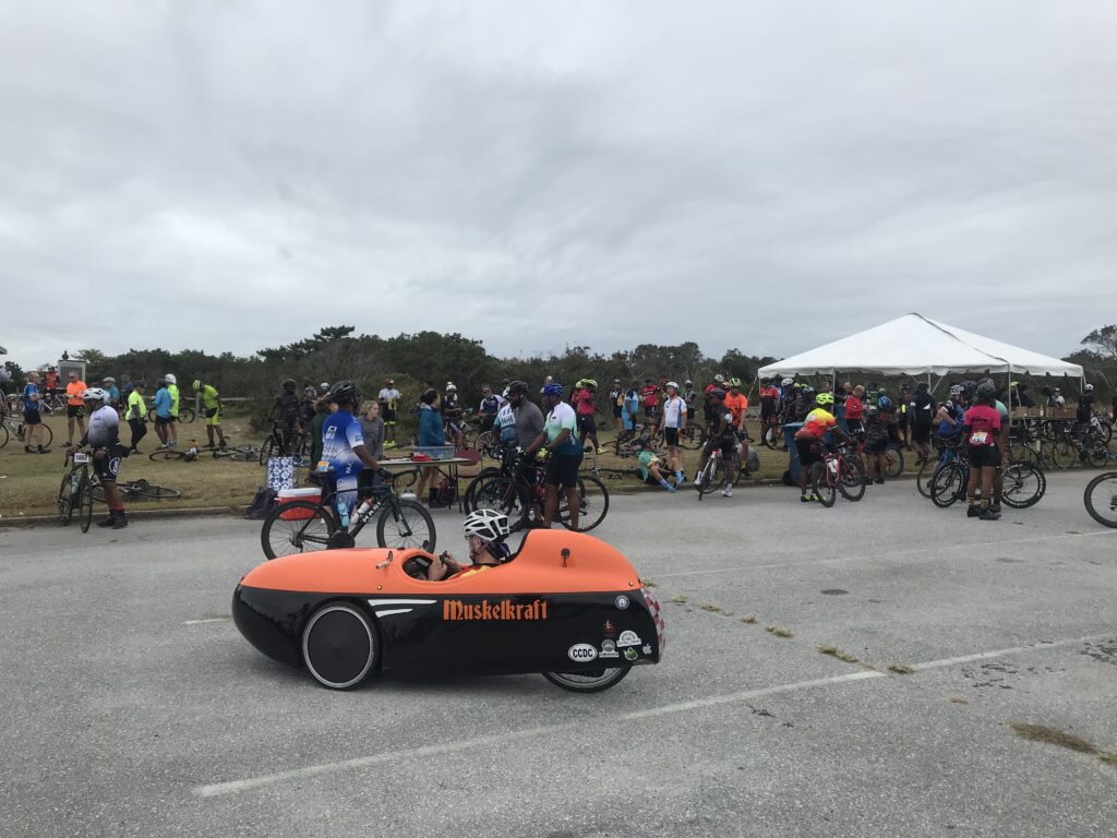
We hung together until about 10 miles before Assateague Island. I went off the front and didn’t see them again. When I arrived at the rest stop I met a rider from MTCC-New York. “Webb” was cramping and I pulled out one of my Hot Shot drinks to eliminate cramps. He was surprised I gave it to him and asked what he owed. I told him if he liked it he could buy some and the next time he sees a cyclist with cramps he could pay it back. He drank. His cramps went away.

Yodeling and Cycling
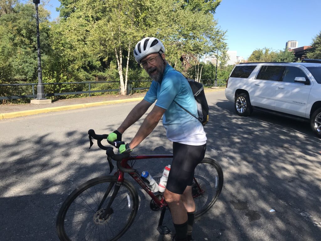
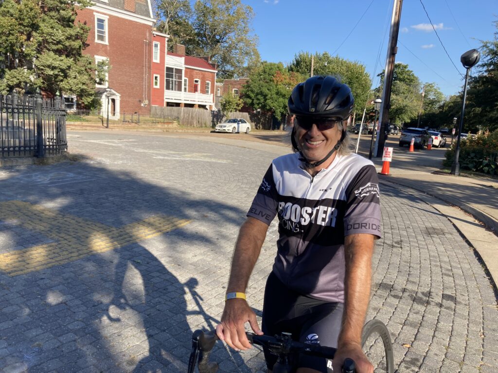
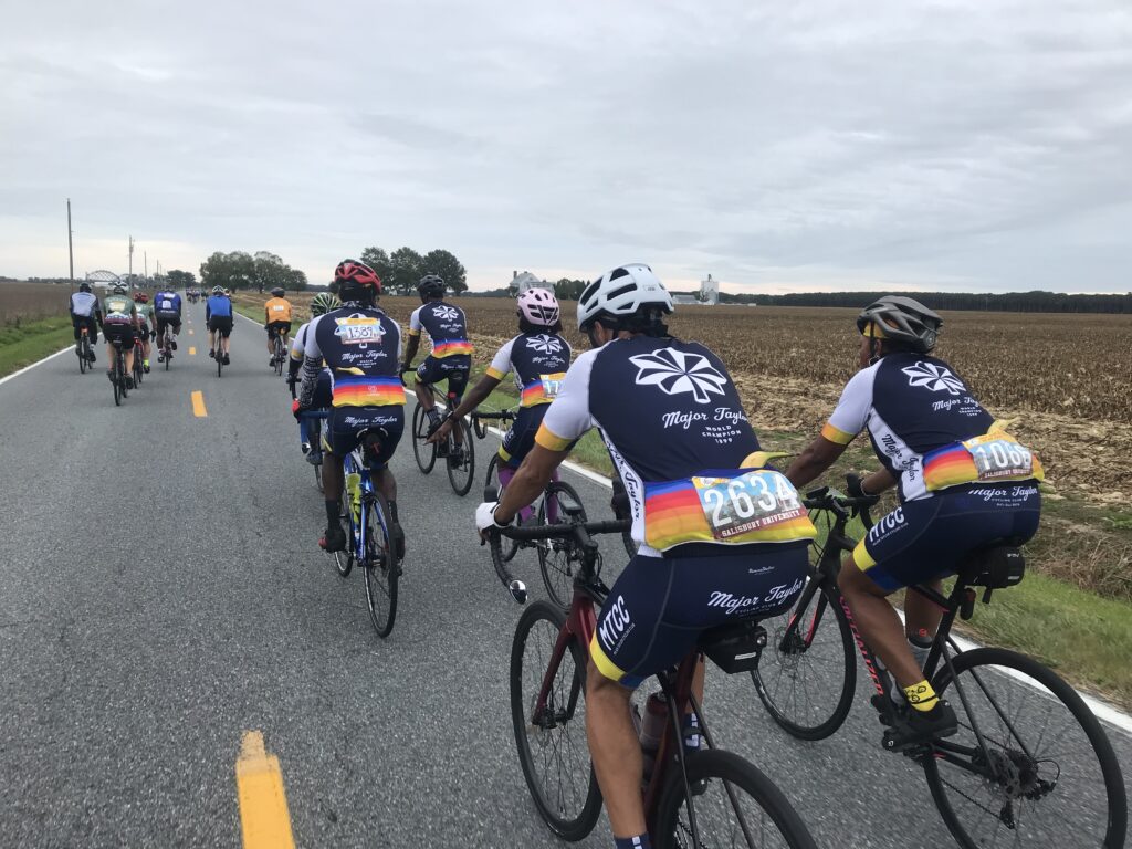
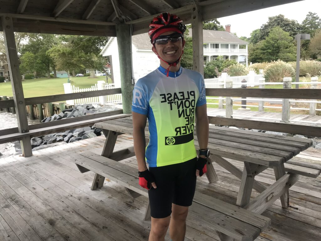
Any thoughts of buying this kit ended today when I saw it

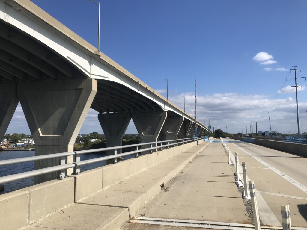
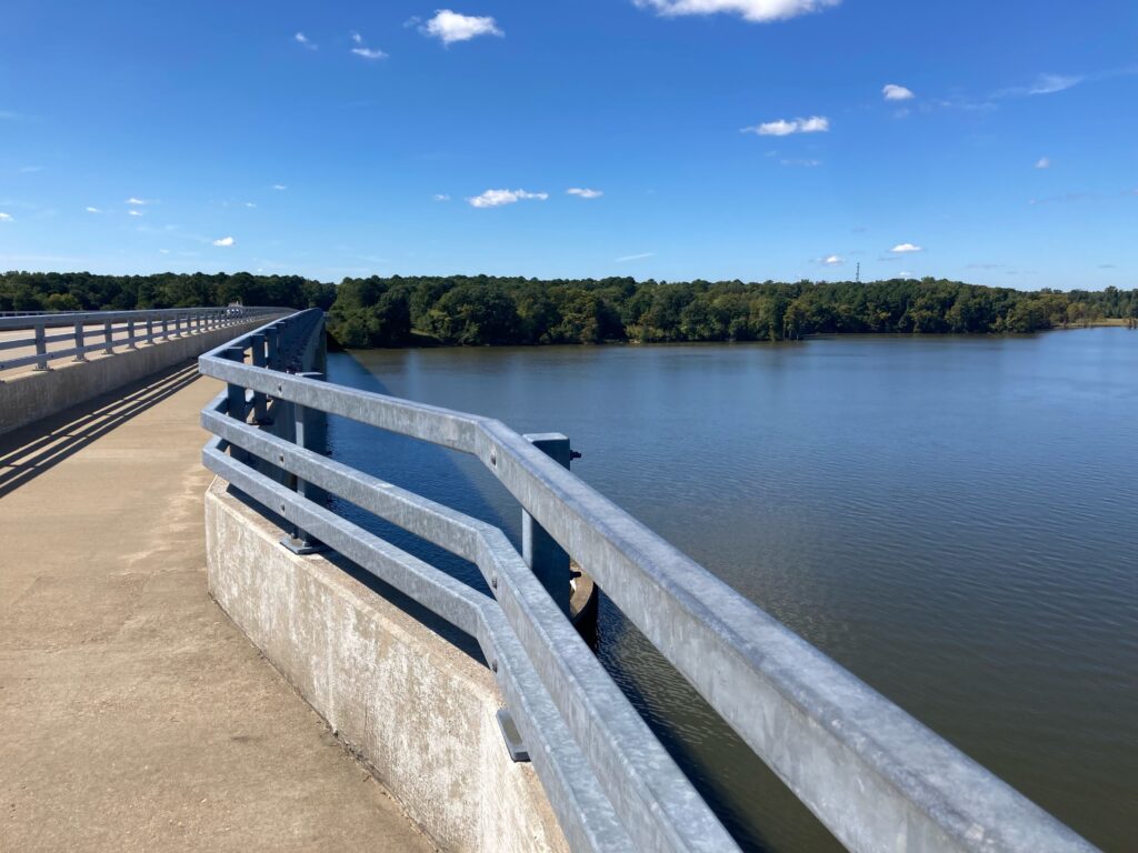
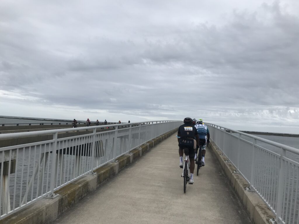
I left the rest stop solo. Again. Once over the bridge, I joined four riders from MTCC-Philly. The five of us, four men and one woman, were taking equal pulls. I thought we might have 20 miles of this.

Webb drinking Hot Shot

After 2-3 miles a larger group passed us and soon we were part of a much larger group. For the first time today, we had a tailwind. We only averaged 21 mph on this segment but that includes creeping through Berlin. It took me 60 miles but I finally found the group I wanted to ride with. But it would not last.

Verranzano Bridge

We stopped at Mile 80 at the rest stop. As usual, I wasn’t staying long. I waited a little bit to see if a group would form. None did so I headed off willing to slow pedal and be caught. After 10 miles on this 18-mile segment, I shifted from wanting to be caught to not wanting to be caught. I wasn’t.

Salisbury University Cheerleaders at the Finish

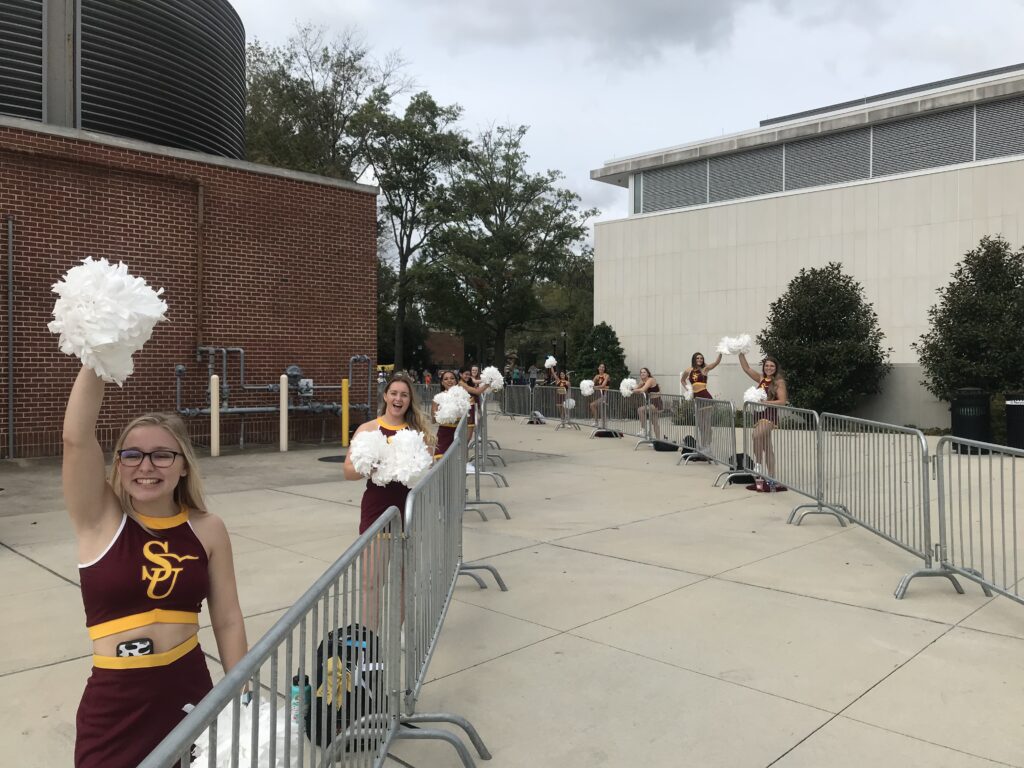
I went through the tunnel at the college, stopped long enough to take a photo of the Salisbury University cheerleaders, grabbed some ice cream then slowly rode back to my car. It was a really good day and I loved all the MTCC riders I met. One of my favorite Sea Gulls yet.


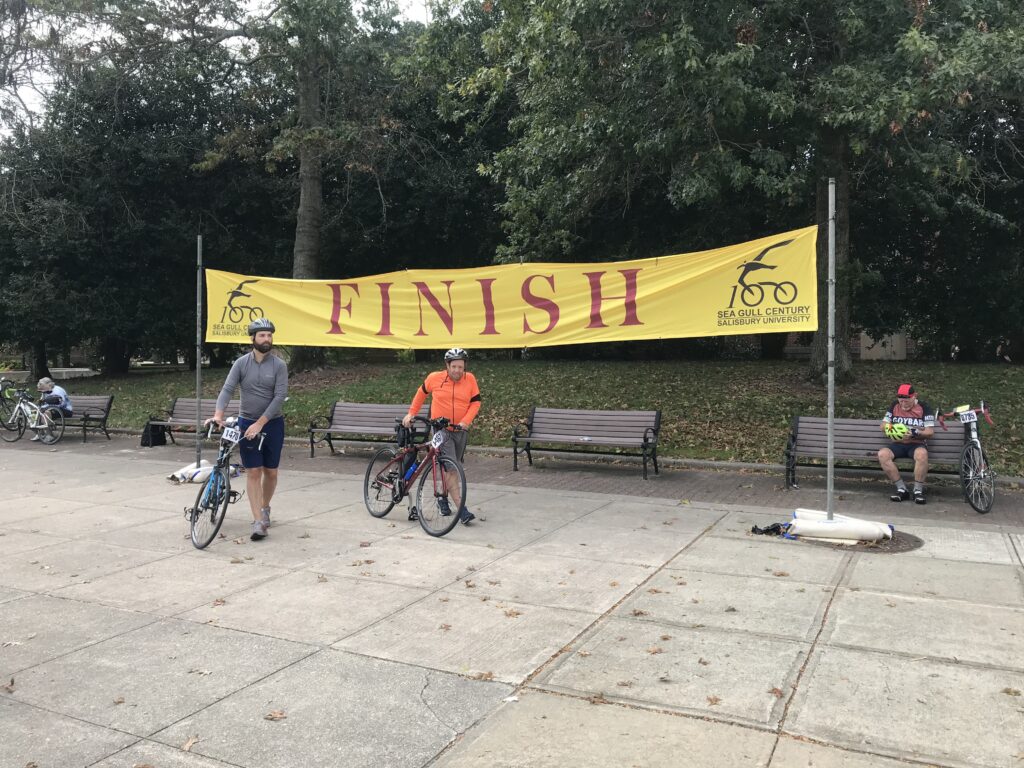
DISTANCE: 102.5 miles
SPEED: 17.7 mph
WEIGHT: 171 pounds

I actually rode 0.2 faster last year solo but today included the last mile of getting back to the car. It’s not all about speed and I purposely rode slow today. But if it was, I am still very happy with this ride.

Kent Island

KENT ISLAND, MARYLAND

I have traveled across this island two to three dozen times. Always it was just a place to bridge the gap between the Chesapeake Bay Bridge and Maryland’s eastern shore.

Traffic can be heavy especially on summer weekends. Usually, it’s get on, get moving, and get off the island. Unless, of course, one wants to stop at the Chick-fil-A.

Chesapeake Bay Bridge in distance

I’ve spotted some bike baths alongside U.S. Rte 50 and decided I would explore the island. I don’t know if I would make this a destination trip but since I was headed to the Sea Gull Century it was a great place to stop and explore.

Kent Island South Trail

In a nutshell, there are two trails on the island and some road riding that connects them if you are willing. The road between the trail can be busy.

The Chesapeake Bay Bridge in the background. Matapeake State Park.

I took the first exit and went south. I parked at the Matapeake Park – the entrance to the Kent Island South Trail. But I wasn’t interested in the trail so much. In fact, when I left the parking lot I didn’t know the trail existed. I didn’t see the entrance.

Matapeake State Park Pier

I first turned and went back to a pier and boat launch at Matapeake State Park. There is an excellent view here of the Chesapeake Bay Bridge.

Wide shoulder on Rte 8

When I reached the main road I turned right (south) and rode on the wide shoulder. I was very comfortable riding here and only then did I see a trail next to the highway. I jumped on the trail at the next opening.

The Bay Park

It is wide and is in excellent shape. The asphalt seems new. I’d say maybe this year but I’m not sure it’s that new. The only annoying thing is the many at-grade crossings of driveways and each one comes with a Stop sign and BIKERS DISMOUNT. Seriously? This is clearly driven by the county’s lawyer.

Every stop sign has these silly “Bikers Dismount” obviously placed there by lawyers

It is only 5.5 miles to the pier. An alternative which I intended to do was to follow the road to the southernmost tip. I followed the trail without realizing I wasn’t following my mapped ride. Maybe if there’s a next time.

Boardwalk on the Cross Island Trail

I made it a point to follow the trail to the northern end. It took me right back to my car. I didn’t even notice it the first time.

Kent Island South Trail

The second trail on the island is the Cross Island Trail. Generally, I prefer roads to trails so I decided to ride the road to the Kent Narrows Bridge.

Kent Narrows

It’s about 3-4 miles on Rte. 8 to cross U.S. 50. There is a wide shoulder the entire way although one must exercise extreme care when crossing the entrances to U.S. 50.

Boardwalk on Cross Island Trail

I turned on Main Street and for a while had no shoulder. The street is marked with a Bike sign – Share the Road – but to most motorists that means get out of their way not that bikes are entitled to the full lane.

Kent Narrows

I rode this section but I wouldn’t want to ride it with anyone slower than me and wouldn’t normally recommend the east-west road route on the island.

Kent Narrows Bridge

I got on the Cross Island Trail. I found a few boardwalks but know I missed the big one. I saw that as I left the island after my ride. Although I crossed the Kent Narrows Bridge I did not follow the trail to the conclusion on the west side.

Cross Island Trail

But I followed the trail back to Rte 8. It’s in great shape. Not built for speed as it meanders amongst the trees. It dumped me at Kent Island High School which was having a Friday afternoon pep rally. I stopped and watched.

Cross Island Trail

The emcee, maybe the principal, maybe the athletic director or even coach, introduced a returning former member. And then the quarterback who was standing at the 40-yard line. If the QB could hit the receiver 40 yards for a touchdown, all the students would get a free water at the next game or restaurant or something.

Kent Island High School, Md. (Pep Rally)

The QB threw and the ball went 35 yards in the air. It was a perfect strike but it wasn’t in the end zone. The receive held up, caught the ball, and then walked it. The crowd went wild. It also makes you appreciate the pros who can throw 50-55 yards or more.

It was a nice ride. Normally not a destination but sure is a great place to stop if you’re traveling through. I would love to come back for the western portion of the Cross Island Trail.


Cap to Cap to Cap

RICHMOND, VIRGINIA

It was a most beautiful day. Tim and I drove to Richmond and parked at the Great Shiplock Park which is about one mile from the Richmond Main Station. We rode to the station and waited.

Tim and the Great Shiplock Park

If only someone knew how to run a train. Sigh. A woman greeted us (nice) and told us the train was running late. Still under pandemic protocols, most of the large open station was closed off so people had to be in one area. The doors to the outdoor platform where one could breathe fresh air were locked.

Entrance to Main Station, Richmond

When the train arrived and arriving passengers disembarked they could not open the doors to get into the station. And we could not leave to get to the platform. Finally (maybe no more than two minutes but for some people, it probably seemed much longer), an employee came and opened the doors.

Great Shiplock Park (viewed from Amtrak)

Tim and I rolled our bikes onto the platform. The conductor said he had a bike rack in this car and “back there.” I guess I took this one and Tim went back there. We went to separate cars.

My bike aboard the train (ready to disembark)

The rack had one hook and I tried to hang my front wheel but the hook didn’t like a deeper rim that I had. I was able to turn it just right and hang it. I then saw an instruction sign that said to remove the front wheel. Not sure how that would have worked. I didn’t have my tool to remove the wheel readily available.

That also tells me Amtrak is not accommodating of many bikes. They must anticipate quick-release skewers which have been replaced by through-axles. Depending on the bike you may need a special tool to remove the wheel. I use a mini-rachet which I did not have with me. For an emergency, I could get to one in a tool kit inside my frame. As for bikes with bolted-on front wheels, they would be out of luck too. Amtrak can do better if they want to.

About halfway through the ride I put the bike in a luggage area. It fit better. I actually through we were approaching Williamsburg and was getting ready. But we weren’t.

Williamsburg, Va.

Once in Williamsburg, we rolled down through Duke of Glocester Street in Colonial Williamsburg. Very slowly. If Tim wanted a faster average speed today I killed it in Colonial Williamsburg.

Governor’s Palace, Colonial Williamsburg

Rather than take John Tyler Highway directly to Jamestown to meet the trail, my mapping took us through some residential areas. They were very pretty but I’m not sure about the benefit. The highway did have a bike lane for much of it. I think the only section it did not was where we finally picked it up.

Williamsburg

We passed a Taco Bell and grabbed a not-so-quick bite to eat knowing that food options were limited on the ride. It was 11:30 a.m.

Taco Bell, Williamsburg

The trail in Jamestown was easy to find. The Virginia Capital Trail is a paved and boardwalk trail that follows the Rte. 5 corridor. While next to the highway almost all of it has a strand of trees between it and the road. When there is no traffic going by one does not see the road and it appears it is a trail in the woods.

Jamestown Settlement

There are not many provisions on the trail. I had forgotten there was a very nice-looking deli restaurant at Mile 2.5 (Spokes + Art Provisions Co.). At Charles City, there is Haupts gas station which has some good fried chicken. Also in Charles City, there is Cul’s Courthouse Grille. And then northing until Mile 48.

The long bridge at MP1

We had a wonderful headwind most of the way. But it was 72º and it was great.

A deer is outstanding in his field

At Kingsland Road we left the trail as I opted for some back roads which added two to three miles. Tim was okay with that because he wanted to make sure we rode a metric century (100 km or 62.14 miles). The mileage would do that. These were roads used in the Climb to Conquer Cancer that I have ridder before. And I approved.

Chickahominy River

We stopped for water when we got back to the trail, around Mile 48 . There is a new 7-Eleven opening soon but was a store across the highway as well. Tim got water for the last five miles and we began the nice mostly downhill ride to Richmond.

Chickahominy River

I don’t know what picture I had painted of Libby Hill but I think Tim was picturing Mount Washington and not Libby Hill. When we got to Rocket’s Landing I could see the monument atop Libby Hill and pointed that out to Tim. I think he was relieved to see that it wasn’t far away and it wasn’t very high.

Richmond in the distance

I wanted Libby Hill. Twice I raced it as a timed climb in the Climb to Conquer Cancer. Both times I finished at 0:53. Three weeks ago my time was good enough to win the 65-69 age group at the event. The problem for me is they had a 60-69 age group. I never saw official results and could not easily determine on Strava who I may have lost to but the most important person I am racing is me. And I wanted a good race time today.

Church, Williamsburg, Va.

We came to the gated entrance (no vehicles permitted) and I showed Tim the climb. He thought it might take him four minutes. I pointed out that even if he went half as fast as me he’d still be there in under two minutes.

The trail

I was hoping for one second. I hit the climb from a dead stop. The bike started to bounce. I made the hard left onto the climb and felt the rear wheel slip on the wet cobbles as here there is always some runoff or drainage across the road. It’s about 6″-12″ at best (worst).

One of the boardwalk bridges on the trail

My helmet, which I thought was tight, was moving as were my sunglasses. I never looked at my Wahoo Live Segments to see if I was ahead or behind my PR pace.

Near Great Shiplock Park, passing underneath the train tracks, Richmond

Halfway up is the sharp right-hander. Once I turned it I got out of the saddle. Three weeks ago I tried standing here and the bike bounced so much I sat back down. Today I stood and let the bike bounce.

Strava showed me 0:47. Strava disagreed.

I’m not sure if I was out of the saddle the rest of the way or if I sat. But I went across the top and saw the time – 0:47.

Horses in Williamsburg

I killed it. I destroyed my previous best time. Then I saw Tim was coming and I was encouraging him as well. And in his first time, he came in 1:33. Excellent! Being his first time he now has a marker for a PR for the next time as well.

I beat Libby Hill. Credit: Tim

Officially, Strava would record my time as 0:48. I still destroyed it. And maybe the next cancer climb, a 0:48 would be good enough for the 60-69 group. (They should align with Strava’s 65-69 group but that’s a different discussion.)

The top two times were done on trainers and not actually at Libby Hill

We descended back to the car. Tim saw a parking lot that looked promising to cut through although we didn’t need to. But it had two bridges which led to Stone Brewing. When we exited we were in the outdor cafe area of the brewery. Oops. Let us ride between your tables. We went through the parking lot and were back on the trail only 400 meters from where we parked. In all we rode through three of Virginia’s capitals through history, Williamsburg, Jamestown, and Richmond.


WEIGHT: 170 pounds

Verified by MonsterInsights