ALTOONA, PENNSYLVANIA
Of the three rides that one can do: Point-to-point, Loop, or out and back, many people, including me, prefer a point-to-point ride. I have done many rides from Richmond to Williamsburg and one from Kissimmee to Lakeland as point-to-point rides with an Amtrak option. My planning began to see if I could do an Altoona to Johnstown ride with an Amtrak option. The answer was yes.
My preference was to ride from Altoona to Johnstown, thinking that once I climbed past Horseshoe Curve to Gallitzin, it was all downhill from there. I also preferred to take the train at the end of the ride because it’s a nice way to end a ride – a train back to start. So ideally, I would park in Altoona, ride to Johnstown, and have an Amtrak ride back to Altoona as a reward at the end of the ride.

But my decision as to where to start was determined by the train schedule. There was a 9:05 a.m. departure from Johnstown and a 5:15 p.m. departure from Altoona. Since I couldn’t ride from Altoona to Johnstown and make the 9:00 departure and leaving at 6:11 p.m. from Johnstown, the arrival time of the train from Altoona, would not leave me enough time to get back to Altoona, I had to park in Johnstown. I could take the 9:00 train and ride back or I could ride from Johnstown to Altoona and take the 5:00 train back. Honestly, that’s not a bad option, but I didn’t want to ride to Altoona.
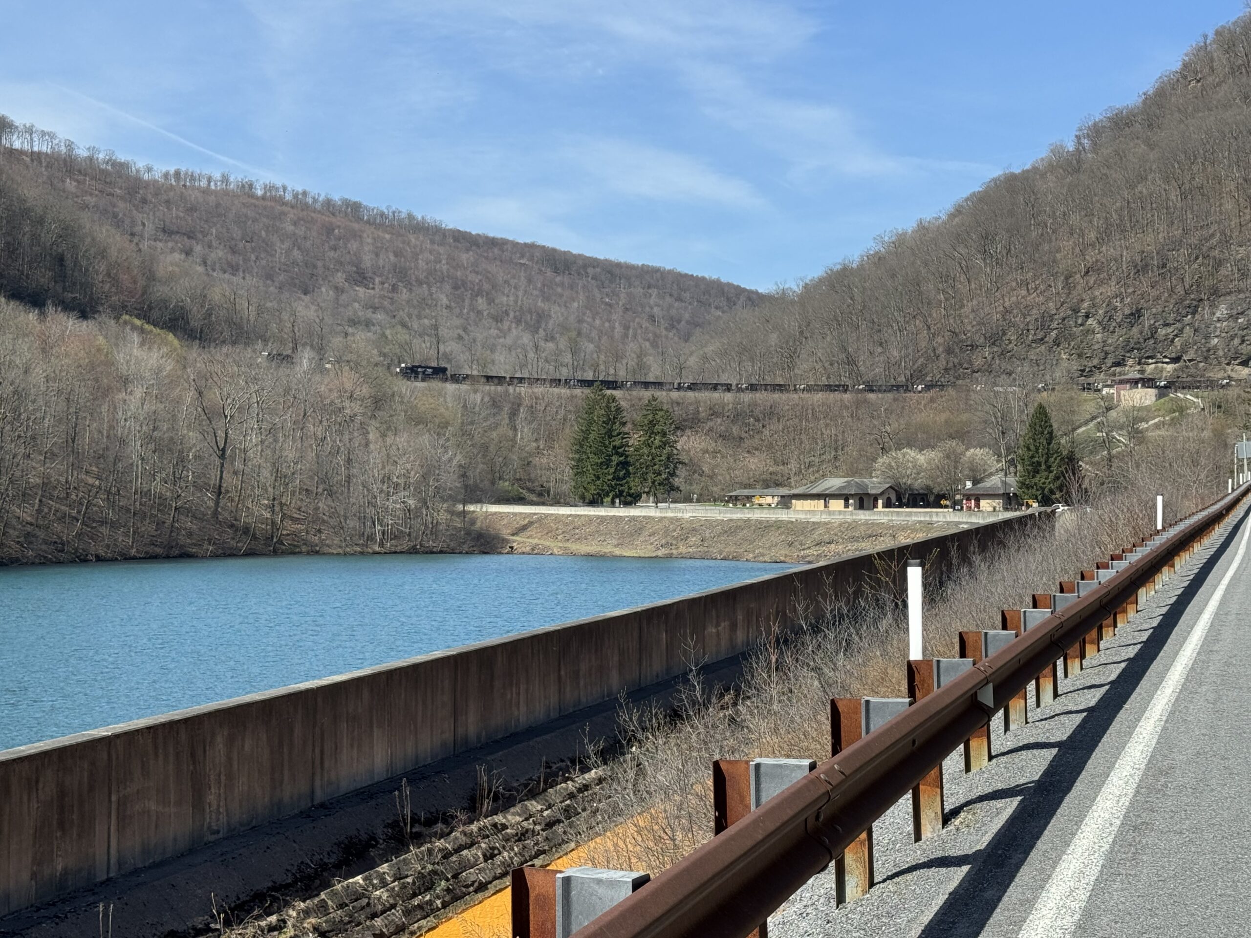
The reason I wanted to do this ride was to see the World Famous Horseshoe Curve by train. I have ridden by Horseshoe Curve numerous times, but this would be a first by train.
THE LOGISTICS
I rode on the Ghost Town Trail yesterday from Duman Lake County Park and overnighted in Indiana, Pa. Having never been at the train station in Johnstown and unsure of parking, I planned to arrive at 8:30 a.m. There’s always a little bit of angst when using GPS that one will be directed to an empty lot. But Waze worked, and I arrived at the station by 8:30. I expected a pay parking lot, but found neither pay nor what was signed as a parking lot. But there was parking next to the tracks with about seven cars parked. There were no signs that this was public parking, and no signs prohibiting parking. I parked.
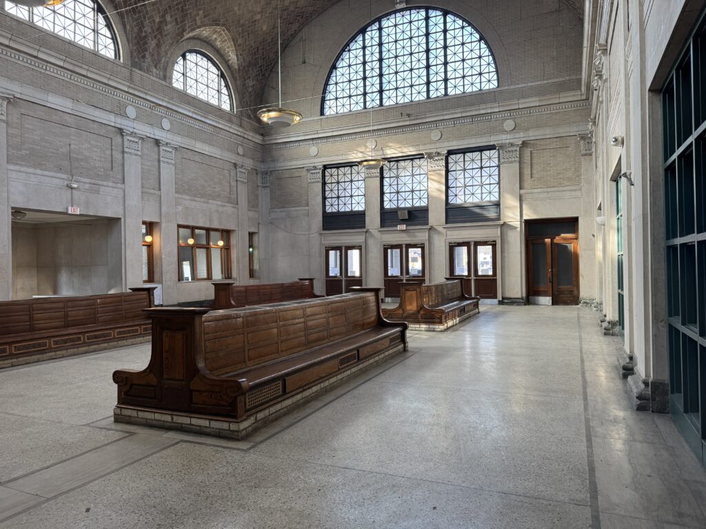
I went into the station, walking past three locked double doors to the main waiting area. This waiting area was closed off but gave a glimpse of yesteryear when 48 passenger trains a day went by Horseshoe Curve. I found the station attendant and asked if I was taking the bike onboard with me and hanging it in a rack or if it was checked baggage. He told me it would go in the baggage car and he would meet me on the platform.
At the platform, the attendant told me he rode mountain bikes. We talked about the GAP and the Ghost Town Trail. He was impressed that I rode the extension to Duman Lake yesterday. And more impressed that I was riding back to Johnstown today. He tagged my bike, hopped aboard the baggage car, and I handed him my bike. When I arrived in Altoona, I saw that he had also written my name and phone number on the tag. This was in contrast to the attendant in Lakeland in Florida who acted as though she didn’t know I was traveling with a bike. For both, the reservations with a bicycle purchase were made more than one week in advance.


The conductor on the train was very nice. I found a seat on the right side of the train, knowing how we would pass Horseshoe Curve. Unfortunately, the windows on the train were filthy. And the morning sun would be hitting them as we traveled in a northeast direction. It was cool passing through Horseshoe Curve, but it did not give rise to good photos.
In Altoona, I went to the baggage car and retrieved my bike. It was 47 degrees as I started my ride back.
THE RIDE
The first 10-12 miles would be very familiar. It was up Kittanning Point Road to Horseshoe Curve and then the climb up “The Wall.” On Coupon-Gallitzin Road I stopped at the house of Todd and Tiffany’s, both cousins to me. They were not home, nor did I expect them to be.
At Tunnel Hill, I stopped to see the tunnel that I had gone through two hours earlier, then headed off towards Johnstown. There was a lot of down and almost the same amount of up. I passed through Munster, completely forgetting the course I had mapped out. Here began a serious climb, the only one between Gallitzin and Johnstown that I had made a mental note of (and forgot).


At Admiral Peary Highway, I was only three miles from Ebensburg. I knew I didn’t want to be on this highway, but I took off. Downhill. I was headed into a stiff wind and didn’t push my speed, but still hit 39 mph. At the bottom, I turned onto a gravel road. The first mile it was a very tightly packed small gravel/dirt, almost like crushed limestone. I had the right bike for it. But then it turned to nasty gravel. And a steep hill climb. I was not ready for this.
RideWithGPS uses Google Maps to map safe bike routes. This was not marked as a gravel road and caught me by surprise. It was two and one-half miles. Ugh.


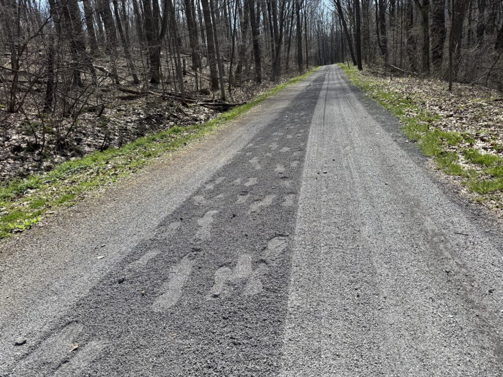
More ups and downs, more downs though, and the one-mile ride into Summerville was a sweet downhill. I got on the Path of the Flood Trail, which was crushed limestone.
When I came to Staple Bend Tunnel, I discovered it was closed. I used a trail up and around the tunnel – walking my bike through muck, clogging one cleat, to the top, and then descending on the path.


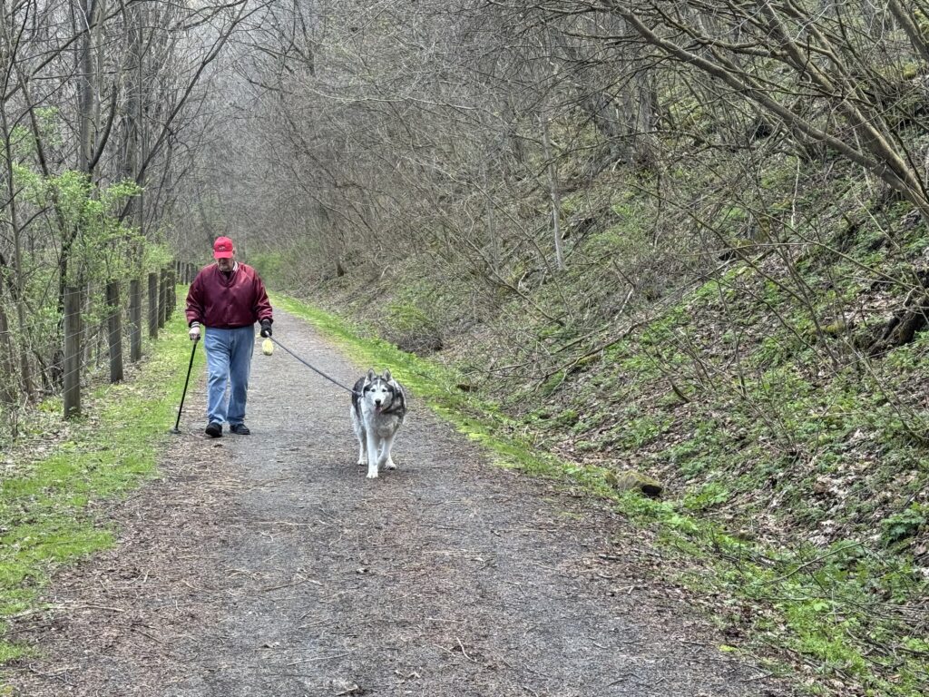
The other end of the trail was gnarly. There was a steep single-track gravel uphill in which my foot slipped off the cleat because I couldn’t clip in. Fixed it at the top (lots of cleaning with sticks), found a dog, and rode back to the car.
SUMMARY
Cool ride. Glad I took the train to see Horseshoe Curve. I wanted to advertise this as a club ride for friends but I won’t be doing that. It was far too strenuous and adventurous for most of my friends, although the roads were mostly traffic-free. Maybe a route directly through Portage would be better.