A Cold Slog

RESTON, VIRGINIA

This is not so much about one ride. I rode 15 times in December, mostly on the W&OD. The first one was from Leesburg to Woodbridge but the rest were just the W&OD with a couple at Occoquan at the end of the month. I was chasing miles. I don’t like chasing miles.

Every ride was windy but some days the wind was much worse than others. And cold. On December 9 I saw but five cyclists over 33 miles. On a normal day I may see north of 100.
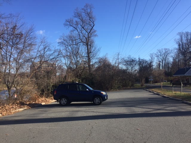
One lonely car. Mine.
One lonely car. Mine. The parking lot in Reston was empty. It was windy but it was cold. Mid 30s.

For a while this year I thought I might set a new personal annual record. But with my dad’s demise, I left 400-500 miles on the table being with him in September including days driving back and forth to Somerset when I didn’t get to ride.

But I had a push in November and entered December needing 450 to get to 8,000. I thought I could make it. Many days were cold. Windy. Gray. And of those I think gray is the worse. But the day before Christmas Eve I hit 8000. And then three more rides took me to 8,100 where I would finish the year.

Those were long rides. To be out in the cold for 2-4 hours just wears on you, especially with wind. And I often struggle as to what to wear and found this article in RoadBikeRider.com, What to Wear in Changing Weather (19 Oct 2015). The guidelines were authored by Coach David Ertl.

Here is my approach to dressing for the temperature.  Like you, John, my weak link is my toes.  They are often the limiting factor. If head, hands, feet are not mentioned below, then I do nothing special for them.

70 Degrees (21C):  Shorts and short-sleeve jersey.

60 Degrees (15.5C):  Shorts and long-sleeve jersey or long-sleeve thin undershirt.

50 Degrees (10C):  Tights or leg warmers; heavy long-sleeve jersey with sleeveless or short-sleeve wicking undershirt; or lightweight long-sleeve jersey with long-sleeve undershirt.

45 Degrees (7C):  Tights or leg warmers; long-sleeve wicking undershirt and lined cycling jacket;  thin full-fingered gloves; headband covering ears; wool socks and shoe covers.

40 Degrees (4.4C):  Tights or leg warmers; long-sleeve heavy mock turtleneck (I like Under Armour) and lined cycling jacket; medium-weight gloves; headband covering ears;  winter cycling shoes, shoe covers, wool socks.

35 Degrees (1.7C):  Heavyweight tights; long-sleeve heavy wicking turtleneck undershirt and heavy cycling jacket; heavy-weight gloves; headband covering ears;  winter cycling shoes, shoe covers, wool socks with charcoal toe warmers.

30 Degrees (-1C):  Heavyweight tights; long-sleeve heavy wicking turtleneck undershirt and heavy cycling jacket; heavy-weight gloves; lined skullcap; winter cycling shoes, shoe covers, wool socks with charcoal toe warmers.

Regarding the charcoal toe warmers.  I find these help add another half hour to the time I can ride when it’s 35 and below. I buy these in bulk at Costco, where they are about 50 cents per pair. Sweat will deactivate these. Feet sweat when covered with shoe covers – even on the coldest days. Therefore, to help them last longer, I stick the toe warmers to the outside of the toes of the shoes and then put the shoe cover over these, instead of putting the charcoal packets inside the shoe.

I also put my toes in a sandwich plastic bag to help keep the moisture in the toebox of the shoe. When it gets really cold (<25 degrees), I put my whole foot into a plastic bag (Subway or newspaper bags work well).

To be fully equipped for all temperatures, your riding wardrobe must be quite extensive, especially if you want a couple of each item. Over the years, I have developed quite a collection of all weights of clothing.

My Comments to David’s Text
I notice you don’t seem to use arm warmers. Or bib knickers. I would throw both of those into the mix for low- to mid-50s (knickers) to low 60s. And arm warmers (often with a light short-sleeve base layer and normal jersey) for mid-50s to low-60s.

I like arm warmers for their versatility in adapting to a range of temps. Especially if you start low and go up 10-15 degrees on the ride.

As for knickers, I love them! Just for the same reason you like long-sleeve jerseys, I suspect. They cover my knees, which I like to keep covered below, say, low 60s. And I never have to mess with adding another garment (knee or leg warmers).

To Which David Replied
I don’t use arm warmers or leg warmers.  I prefer tights and long sleeves. And I have never understood the purpose of knickers. Why cover everything except that last 4 inches below the calf?  I just use tights for everything.

I agree though, you can mention a choice of tights, leg warmers, knickers. They basically cover the same situation.

Wind, being out in the open, and sunny vs. overcast conditions also impact how warmly we need to dress.  If it is cloudy or windy, I’d suggest dropping down to the next colder level. If it is sunny and calm (or you are leaving in the morning and know it will warm up a couple of temperature ranges during the ride), I will bump up to the next warmer level.

Coach David Ertl is a USA Level 1 cycling coach with the Peaks Coaching Group. He also is a national coach for the JDRF Ride To Cure Diabetes Charity Ride program and writes the training blogs for RAGBRAI, the weeklong ride across Iowa every summer.

___________________________________________________________

And there you have it. My own comments would be a long sleeve undergarment is good for a day when the temperatures aren’t changing. In fact I often wear that. But knee or arm warmers are great when it’s chilly but the forecast is for warming later in the ride so that they can be removed. For much of December I wore thermal bibs with Livestrong leg warmers. Only my fingers got cold.
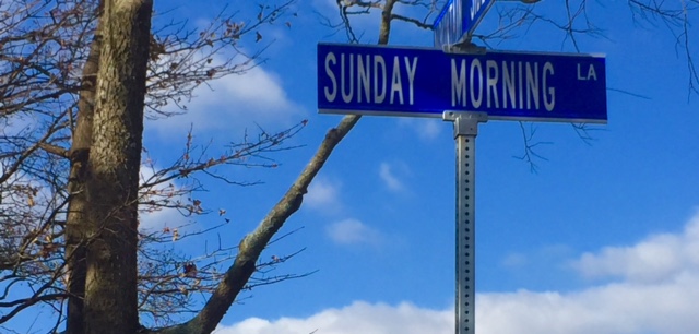


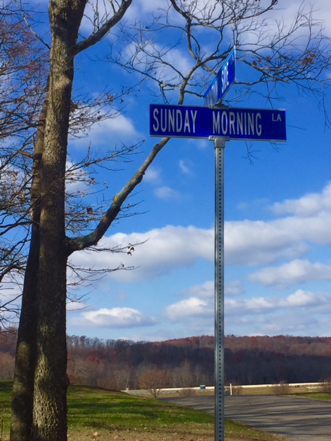
Sunday Morning

LEESBURG, VIRGINIA

Car problems led me to drive to Purcellville to meet Andrew who was in Pittsburgh. I did not plan to bike home simply because it was very cold in the morning with ice on the roads.

As it warmed up I decided it would have been a good day but I wasn’t prepared, either nutritiously or mentally. Nor did I have the clothing I needed for four plus hours on the bike in the cold.
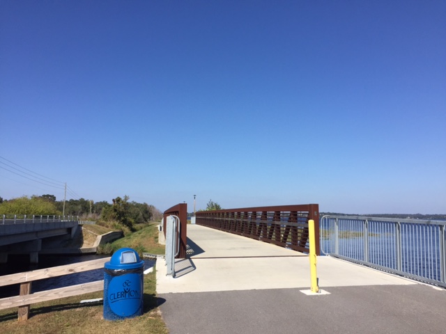
Instead, I decided I would ride to Leesburg, spin a little on the W&OD, and Andrew could pick me up once he got to the car.

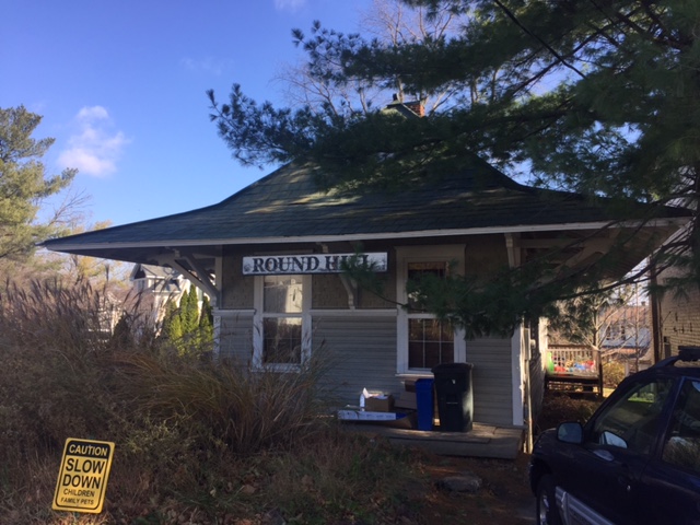
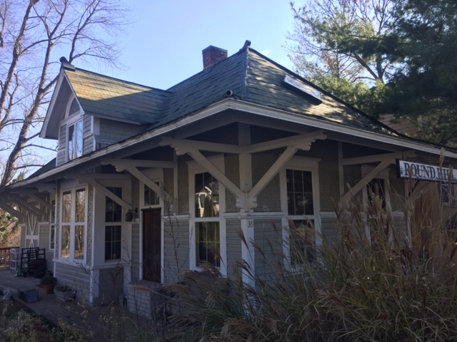
I tried to avoid Rte 9 as much as I could and decided not to take Hillsboro Road over to Purcellville. Instead I would ride to Round Hill but still have the sketchy portion of Business Rte 7 to Purcelleville to contend with. There is no perfect way to Purcellville but this trading one mile of Rte 9 for one mile of Rte 7 seemed like a fair deal.

At Purcellville I found my old friend, the W&OD. At Hamilton I jumped off the trail and onto the road before coming back at Clarks Gap. When I reached Leesburg I went exploring.

I turned on Catoctin Circle to see where it would lead. It lead me to a back entrance to Movern Park. I knew the main entrance was off U.S. 15 so I went through the park. The roads weren’t in great shape, potted and dirt, but no traffic.

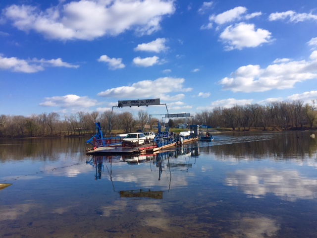
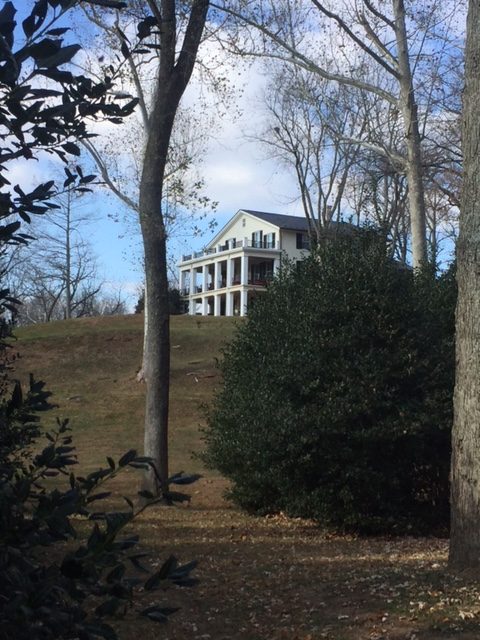
It was easy from here to ride to Whites Ferry. I passed the stately home that overlooks the Potomac and saw it was For Sale. I guess $3.0 million but it’s a bargain at $2.4 million. Buying it now.

Back in Leesburg I jumped on the trail until I heard from Andrew. I then returned to Leesburg and picked up U.S. 15 South and told him simply to look for me. My cell phone died so I figured we had one chance to get it right. We did.

It was a nice ride on a Sunday morning. A beautiful Fall morning.


Horrible Hundred

CLERMONT, FLORIDA

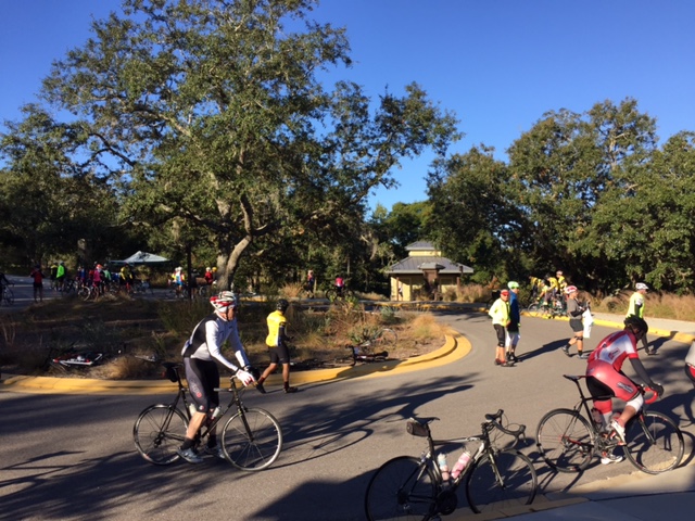
Parking will be an issue here, even when you arrive early. I did a test run/ride yesterday so I thought I was prepared. I arrived before 7:00 a.m. for the Horrible Hundred bike ride. Even as I drove in people were parking a mile or two away and biking in. I thought from scouting this yesterday that I could find even parking near the start. And I was right.

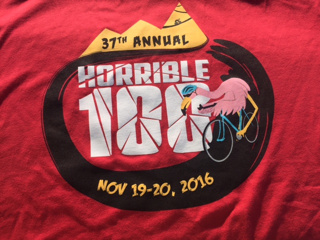
Logo on a T-shirt
Logo on a T-shirt

It was cold. It was just 48 degrees at start but I refused to wear my 3/4 bib tights. And why would I unless I would wear knee warmers all day? I did wear knee warmers of the removable kind. And arm warmers. And long finger gloves. And a vest.
Bike parking at Aid Station #1

I met my friend, John Dockins, at start and we were off and rolling. We rode at our own pace for a mile or two and then were passed by a group of guys from Team New Tampa Velo Club. We jumped in a rode for nearly 20 miles, well, ultimately to the first aid station. But group riding was sketchy. I got boxed in by them on one climb and there was severe yo-yo-ing in their paceline. One rider came dangerously close to touching wheels and crashing. I’m not saying the guys from NTVC were sketchy because they experienced it too. Once we reached the aid station we let them go.

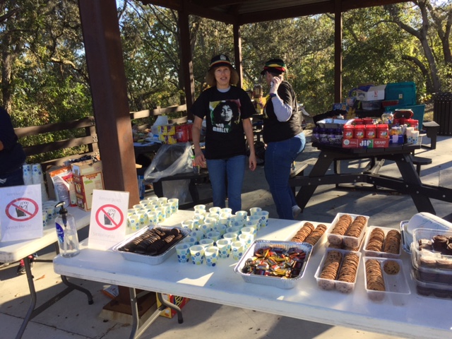
Volunteers at the first aid station

Horrible Hundred? Hills in Florida? Yes. In this area there are hills. No mountains, at least by my definition, but most of the day was spent on rollers. Not much flat, just lots of ascending and descending.

John Dockins, looking sideways

The ride was well supported. Very well although I cannot account for the SAG support. Thankfully. The intersections were all manned by police and I never had to stop for traffic. There were aid stations at Miles 20, 40, 60, and 80. The course was well marked but to view it on a map it is probably the weirdest course of cross overs and pipe stems.
del_hh15

Riding with John, I was more interested in talking and enjoying the ride. I didn’t want to burn too many matches in the interest of shaving off some time time. It wasn’t my goal not to breathe heavy but almost. I didn’t attack any hills but chuckled when I heard riders worry about “Sugarloaf” or “The Wall.” My Garmin recorded over 7.000′ of climb, and while I don’t think there was that much, it was probably 6,000′ of climb over 100 miles.

Barry and John
Barry and John at Aid Station #3

Before Sugarloaf, I stopped at the bottom and removed all my cold weather gear. The temperature reached the mid-60s and it was comfortable especially since we were doing some moderate climbing.

del_hh16

As far as riding, this was the sketchiest I have been in a group ride. I noticed it within the first 20 miles when we decided not to ride in a pace line any farther. But it continued. On one right hand turn I was side by side with a rider. I was on the outside (left side) and he was on the inside. He went wide and just missed pushing me off the road.

horriblehundred

It was strange. It was the most uncomfortable I was all year in a massive group ride or any ride. Many riders were just hard to read. Couldn’t quite figure it out.

Aid Station #4 (Aid Station #1 in the morning)

Two other times while descending at more than 40 mph I went to pass slower riders who inexplicably moved into my passing lane forcing me to go over the yellow line. This while yelling “passing left!”

Barry and John and lunch

I had to constantly be vigilant of all riders around me. This was in contrast to our group yesterday where 40 people stayed together in a tight pack with no issues. Yesterday’s ride was sweet!

Aid Station #3 at Little Lake Harris
Aid Station #3 on Little Lake Harris

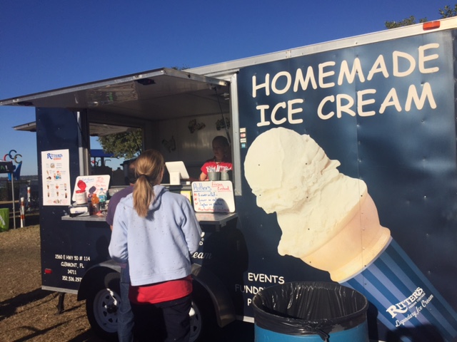
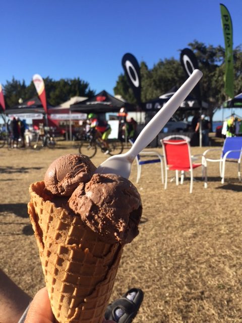
At the finish was a full meal: BBQ, Chicken, or Vegetarian. And for desert: ice cream.

del_hh23

For a $45 fee we had a fully supported ride, T-shirt, fully stocked aid stations, and a full meal. You really can’t beat that. And at the end of the day I had a good ride with a good friend.  It was windy and hilly but it wasn’t horrible.

The ice cream was extra but worth it


That Sinking Feeling

CLERMONT, FLORIDA

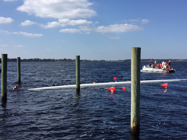
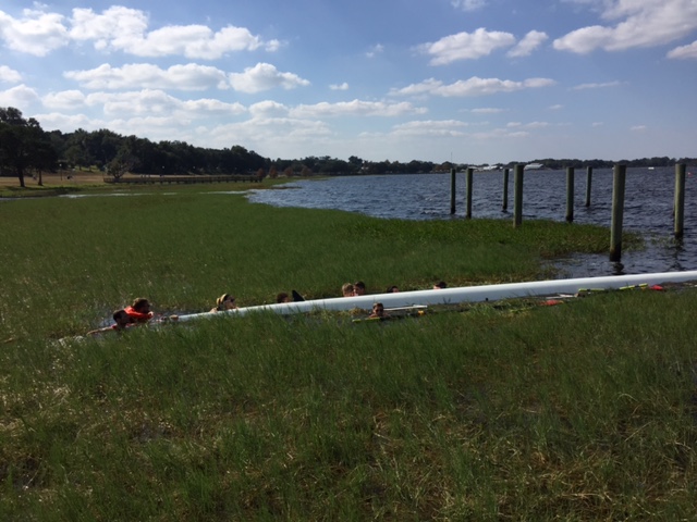
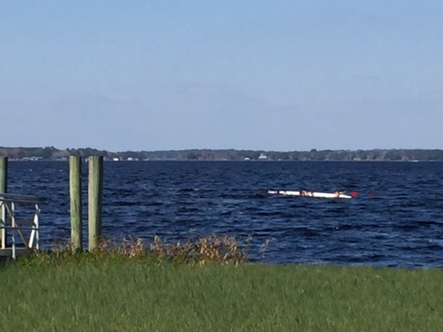
Post-ride, I was taking a picture of Lake Minneola and saw a crew boat (scull) go by. The water was choppy. It was windy. They took on water and capsized. I scaled a fence and ran out to the dock. I stopped. I was prepared to go in the water but wasn’t sure what to do to help. One person, Mitchell, panicked, and with good reason – he didn’t know how to swim. But the others were as calm as could be.

del_hh8

I wanted to jump in and swim out to them, especially when Mitchell called out for help. I had that sinking feeling not knowing what to do. I quickly decided that swimming out to them was not a smart option as it would mean only that 10 people were holding onto the capsized boat.

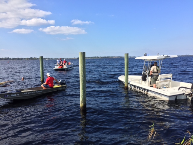
But after a call to water rescue and I think the regatta was watching with binoculars from about a mile away, there were soon three boats and they were able to attend to the kids. One had swum ashore and was very tired. And why not? They were in a regatta and were spent from rowing and now had to swim. He said they weren’t very good.

del_hh6
The water was over their heads even in the grass. Mitchell is wearing a life jacket thrown to him from one of the boats.

Ultimately, once the rescue boats arrived they got the boat turned over so it could be towed back and each kid was then lifted into a boat and taken back to the start. They took Mitchell first, as they should, but took the one girl (coxswain) last.

Oh, the ride? It was good, I suppose.

del_hh1

This was a familiarization ride for the Horrible Hundred. I parked in Clermont and asked a local rider where the “Waterfront Park and traffic circle” was. He directed me two miles away. I hurried to get there by start time and no one was there. He was wrong. There was a traffic circle but it was in the opposite direction.

del_hh2

I asked someone else and he directed me to go back from where I cam from and go another half mile past it. I arrived back at the real start at 8:31 a.m.  They were supposed to leave at 8:30 but were wheels down at 8:33 a.m. Just made it.

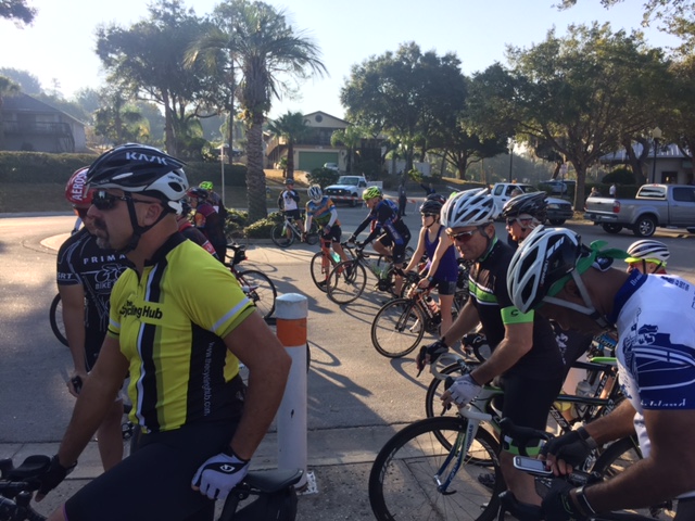
But how cool is this? They offered three familiarization rides. The first was was 50 miles at 18 mph. Then there was a 35 mile ride at 16-17 mph at 8:45 a.m. And there was a 42 miles ride at 18 mph at 9:00 a.m.. So I didn’t panic knowing if I missed the 8:30 ride I could jump in with the other rides.

del_hh4

I “sat in” most of the day. They had three trip leaders, Adam, Vance, and Chaz were listed, who set the pace and the rest of us just went along for the ride. Not sure who the actual leaders were. I think one was a woman.

del_hh3

I had my Garmin set for my normal pace and at Mile 45 I checked and I was five miles ahead of where I normally ride. It was a good pace.

On the bike trail in Clermont

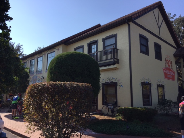
The ride had a stop at a Yalaha Bakery – it was very good but the stop was too long for these legs (lactic acid). But what a nice thing to do for the event. A familiarization ride. Bravo!!! The main event, Horrible Hundred,  is tomorrow.


St. Simons Island

ST. SIMONS ISLAND, GEORGIA

img_6345

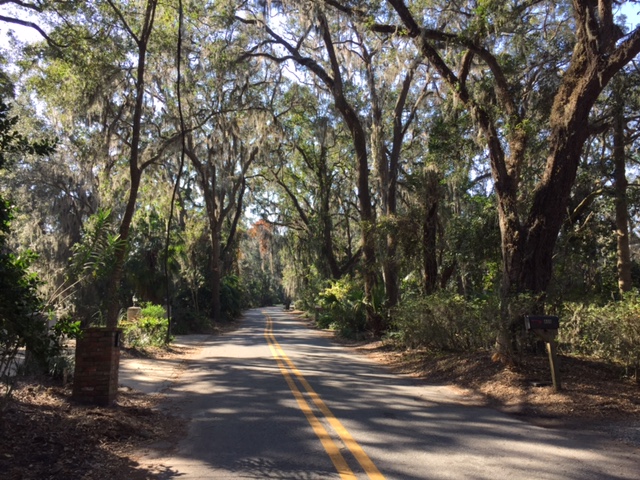
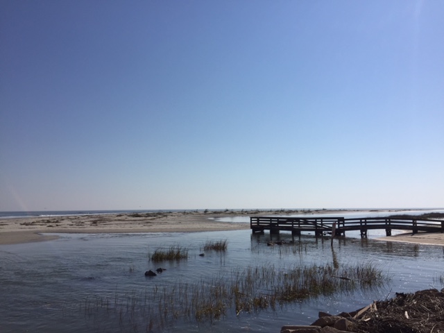
It was a delightful day for a ride in late November. Just 48 degrees at the start with a bright sun shining down. Arm warmers were the only concession to the “cold” needed today as it would creep up to about 70 by noon.

img_6360

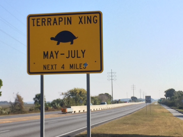
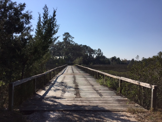
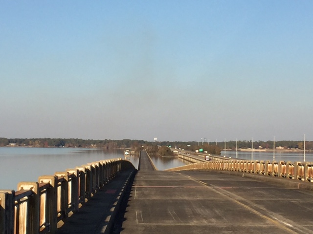
Although I mapped out a ride to follow on my Garmin, as I drove across the causeway to St. Simons Island I knew I wanted to ride the causeway. So I never even tried to follow the cues.

img_6351

There is a bike lane, and occasionally, a bike path, along the four mile causeway back to Brunswick. It was a little strange because the arrows only pointed in one direction but I had to ride “the wrong way” to Brunswick before turning around and going back to the island.

img_6357

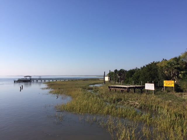
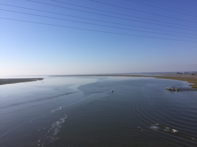
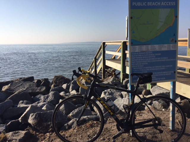
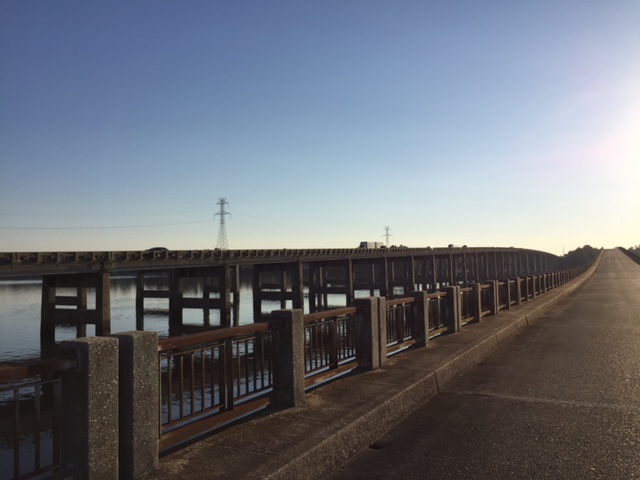
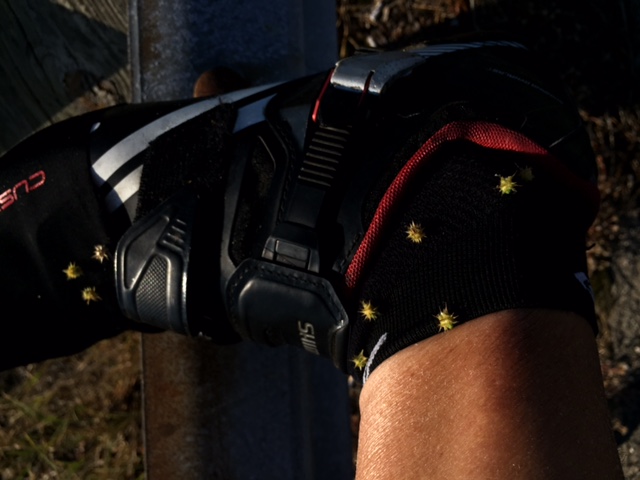
For a photo op I left the actual bike trail and followed my own next to the bridge. At the end I had to step over the guard rail and something sharp pricked my skin. I ignored it and started to pedal away then looked down. I was covered with those damn cockleburs.

img_6355

They hurt. And you can’t pinch them with your fingers to lift them off because they prick your fingers too. I got out a credit card and flicked them off, usually after three or four tries.

img_6359

Was it worth it? I guess I got the photo I was looking for.

img_6361

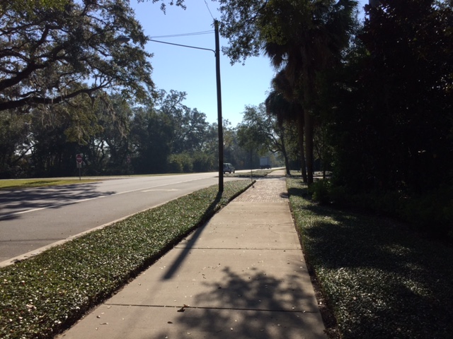
Back on the island the streets, or main road, had no shoulder. There was a sidewalk / bike path next to it though.

img_6365

Usually not long and straight, or concrete, this asphalt jungle weaved in and out. I wasn’t comfortable riding it so I jumped on the road. I was on Frederica Road and even though I was riding 20 mph in a 35 mph zone,  I soon had a line of cars behind me. I pulled over when I could to let them by.

img_6368

One of those cars was a police car. I pulled off the road completely but later caught up to the policeman. I asked him if that was a bike trail and he told me it wasn’t and that we wanted me to ride on the road. And the cars would give me three feet. Little did he know.

img_6376

I found my time on Frederica Road to be some of the most nervous riding I have done. At least five cars passed with an 18-24″ clearance. Riding on the island was mostly fun but don’t know if I would recommend it for nervous riders.

img_6373

Having blown up my original ride I just followed roads. I found Fort Frederica which was built by James Oglethorpe.

img_6369

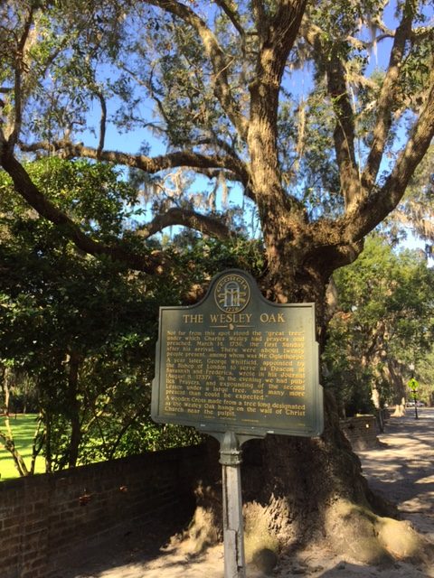
My biggest surprise was finding The Wesley Oak. This was a tree that Charles Wesley first preached in March, 1736. My dad would have loved this discovery.

img_6347

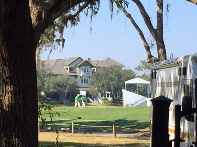
Another surprise was discovering a PGA event was being held on the island. The RSM Classic hosted by Davis Love III. Of the 16 golfers in the top ten (a bunch were tied at T7, I only recognized the name of Charles Howell III. The leader was Mackenzie Hughes.

img_6381

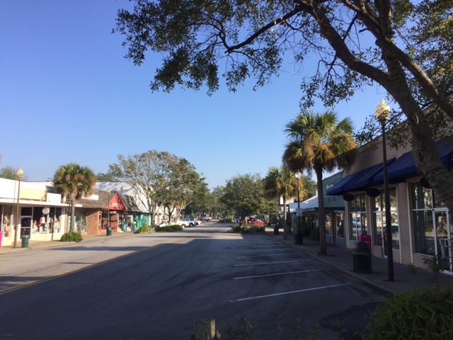
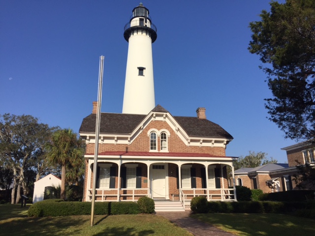
The Oak tree and the tournament were interesting discoveries. But my one goal for the day was finding a lighthouse.

img_6342

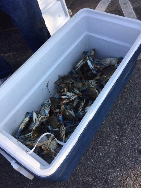
I found the quaint downtown of King City on St. Simons Island. I found two crabbers with their cooler full of crabs.

img_6340

They told me they would sell them for $1.50 each.

img_6336

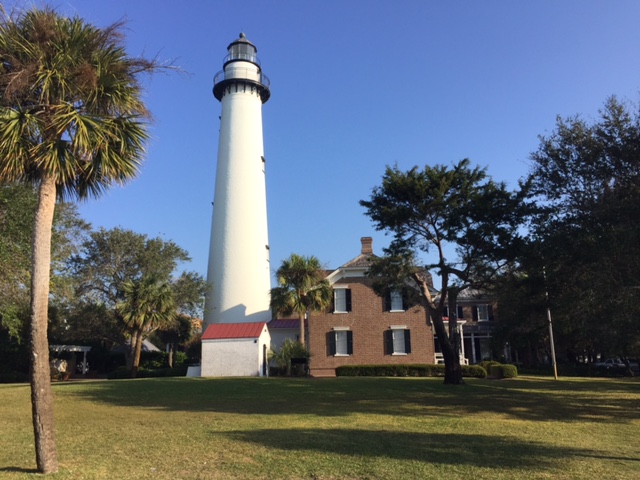
But my goal was to find the lighthouse. Which really wasn’t hard.

img_6338

Simply follow the road closest to the ocean.

img_6333

It was simply a gorgeous day for riding. I don’t know that I would come back but I will say I maximized my sightseeing today.

img_6378


______


Stretching the Legs

SANTEE, SOUTH CAROLINA

del_lm_5

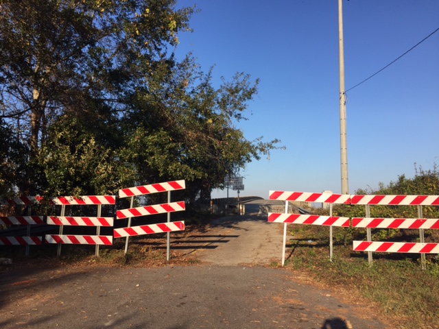
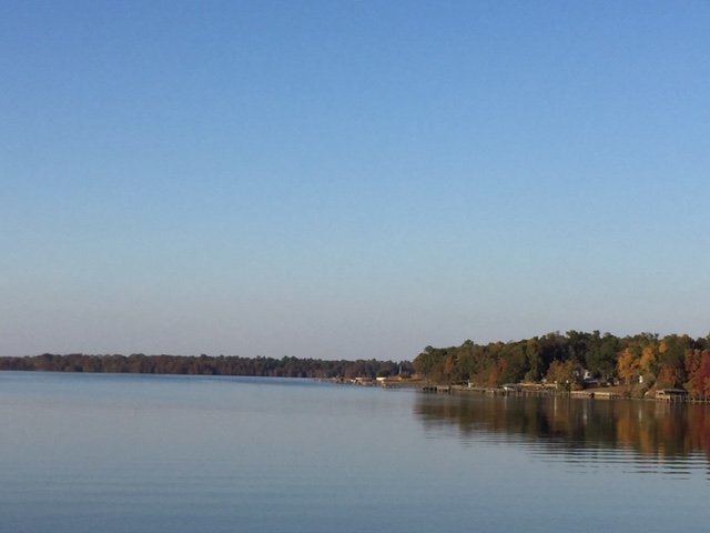
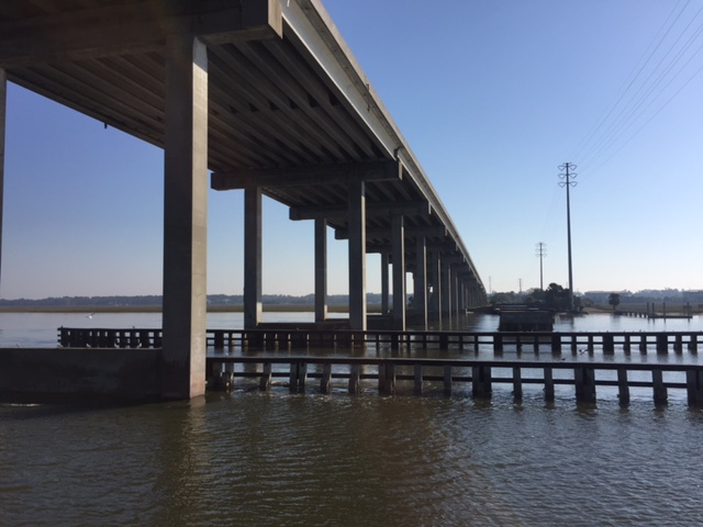
This was easy. I had been driving almost eight hours when I crossed Lake Marion on I-95. I saw an abandoned roadway and bridge right beside I-95. It begged to be ridden.

del_lm_7

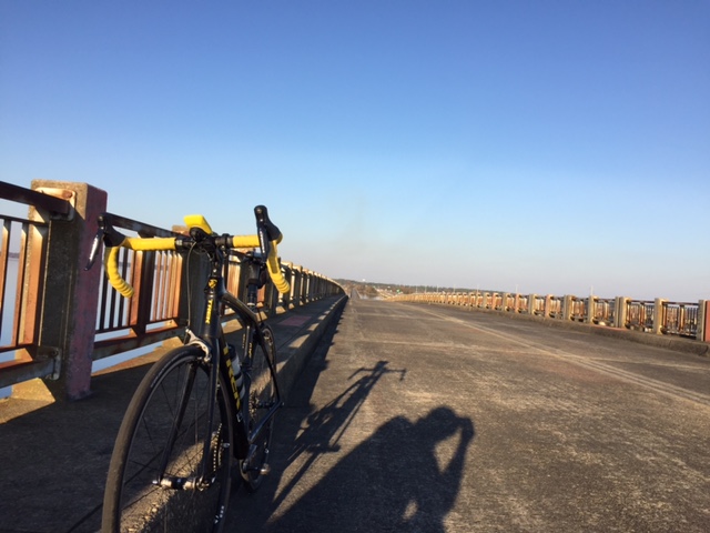
I found a parking lot at a Food Lion. Within a few minutes I was headed off to find the bridge. It was barricaded to keep cars off it but it was open to bikes and pedestrians.

del_lm_6

The main span itself is one mile long. It spans another half mile then another .15 mile span.

del_lm_1

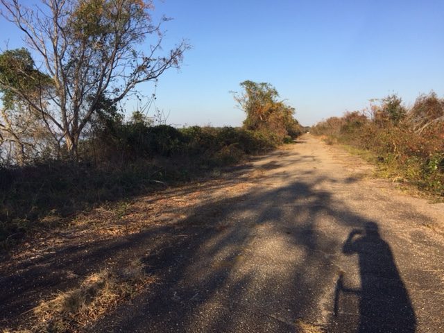
The half-mile section reminds me a lot of the abandoned turnpike in Pennsylvania. The pavement is old but with no traffic, it isn’t too want – just “heavy.”

del_lm_2

One at the end I simply turned around. It was simply an exercise in stretching my legs.

del_lm_4

I rode in shorts and a T-shirt. Didn’t even bother with cycling shorts and a jersey. When I returned I was sitting on seven miles. I have this “thing” that to record a ride it has to be at least 10 miles. So I rode three more miles just to claim the ride.

del_lm_3

______


Five Bridges

NEW PARIS, PENNSYLVANIA

A relatively short ride, just 21 miles, but so darn pretty. I was on my way home from Somerset to Virginia and wanted to get in a ride. Any ride.

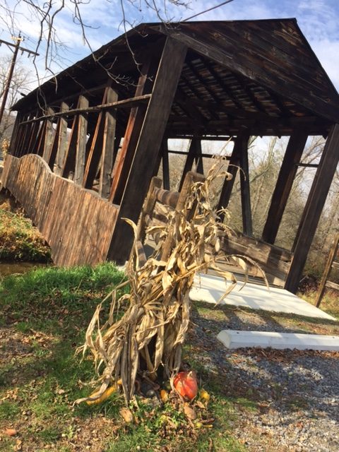
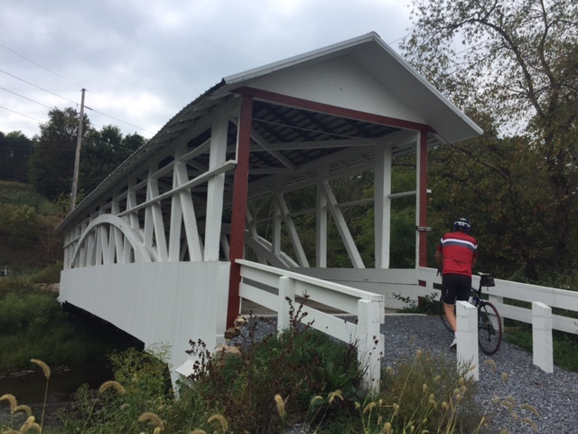
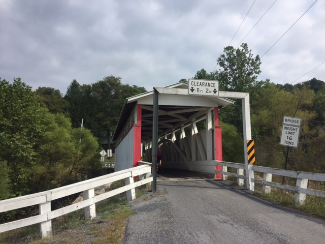
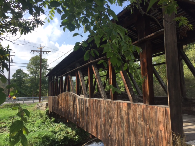
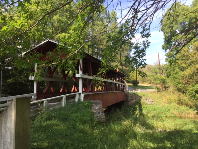
Cuppetts Covered Bridge

My go-to covered bridge ride in Bedford County is an eight bridge loop but I didn’t have time for that. So I stopped in New Paris.

Cuppetts Covered Bridge

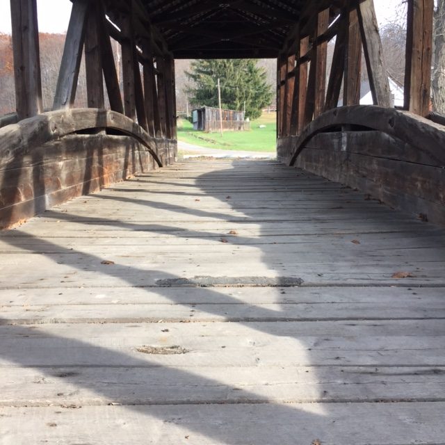
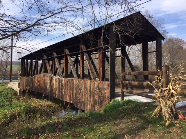
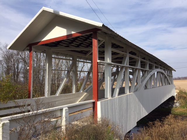
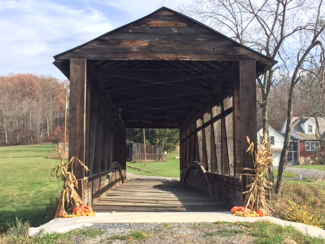
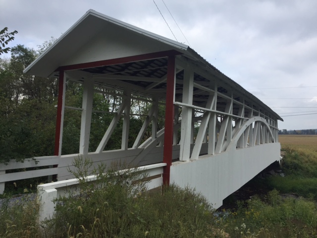
It was well past peak foliage season but still pretty. Upon leaving New Paris I was quickly on the closed Cuppetts Covered Bridge. It is weathered but none the less for the wear. Not sure who but it was also decorated for the Fall season.

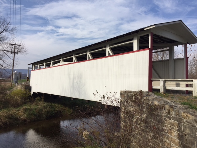
Ryot Covered Bridge
Ryot Covered Bridge

Crossing the guardrail to get back on Rt 96 I followed it north. Just before starting out I saw a wide tractor coming. Rather than pull out in front and have him breath down my neck, I waited until he passed to take off.

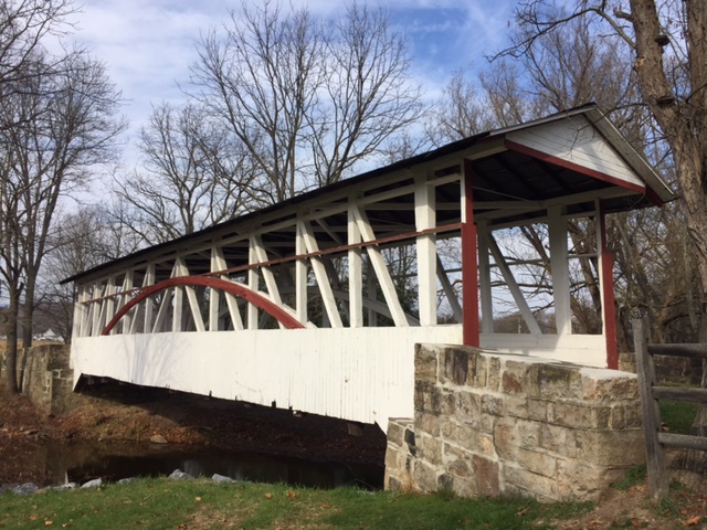
Knisely Covered Bridge

Although he was a few hundred yards down the road I found myself catching him. We both turned to the Ryot Covered Bridge although he turned into a farm.

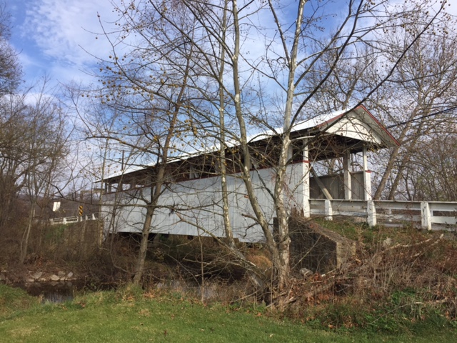
Snooks Covered Bridge

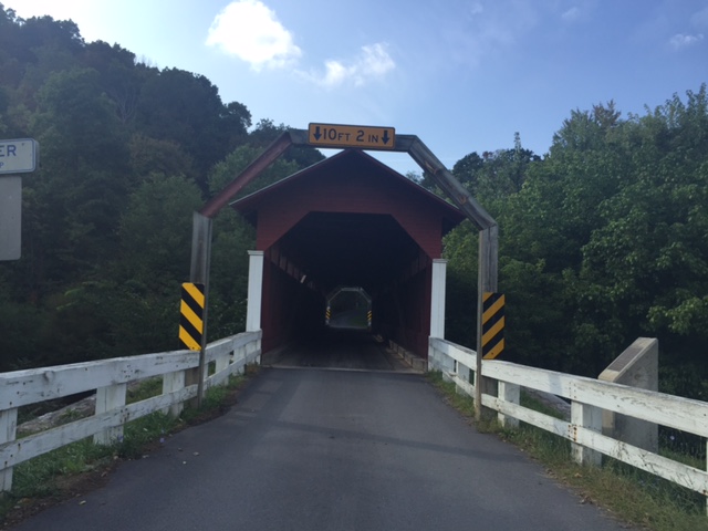
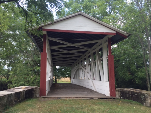
After the Ryot Bridge I turned onto the Dunning Creek Road and came to the Knisely Covered Bridge. One can walk through it but there is no road on the other end. One can ride but watch the floorboards.

Bowser Covered Bridge

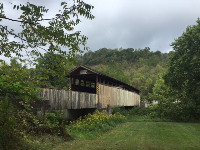
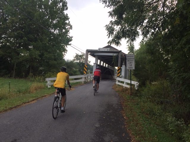
Farther down the road is Snooks Covered Bridge. Once past that is the Bowser Covered Bridge. I left Bowser and followed a flat run in to the little village of Osterburg doing a small loop then retracing my ride.

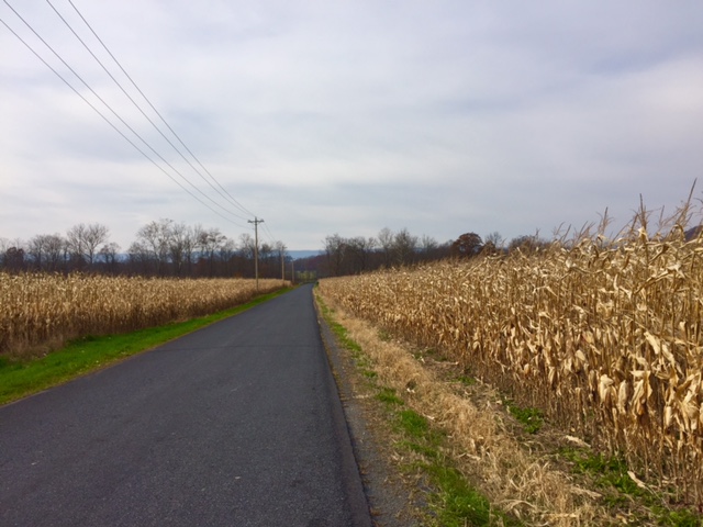
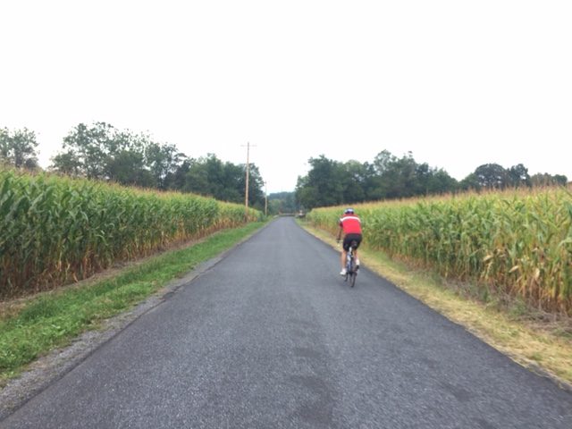
The view on Covered Bridge Road

I had a tail wind going out and the dreaded head wind coming back. The temperature was in the low 60s and I wasn’t ready for much lower temperatures. But it was a gentle reminder that we were into Fall and Old Man Winter couldn’t be far behind.

Cuppetts Covered Bridge

But for today it was a peaceful day visiting Five Bridges.


Sea Gull Century

SALISBURY, MARYLAND

Last year flooded roadways and more rain from Hurricane Joaquin forced Salisbury University to cancel the Sea Gull Century. It was the first time in 27 years the event was canceled.

Riding out of town
Riding out of town

Just days before this event it looked like this one might be canceled as well. Hurricane Matthew was coming up the east coast. The forecast today did not look good with the hourly forecast showing a 50-60% chance of rain. But I would ride come hell or high water. Well, maybe only hell.

Waiting at aid station #1
Waiting at aid station #1 – Riders from Blair Cycling Club

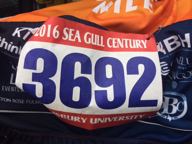
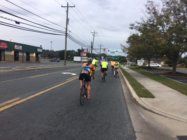
The event was “show and go” so I drove up, parked, at pushed off at 7:19 a.m. Garmin time. It was 70℉ (21.1℃) and very gray. We would not see the sun all day.

Aurora (L), Leslie (R)
Aurora (L), Leslie (R) – Blair Cycling Club

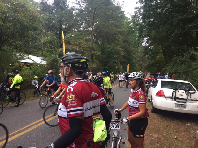
Just about two miles in a saw three riders from the Blair (Co.) Bicycle Club. I recognized Leslie from a ride I did with BBC out of East Freedom, Pa., on July 16. She was riding with Pat and Aurora. We started talking and soon we were a group of four. For the day.

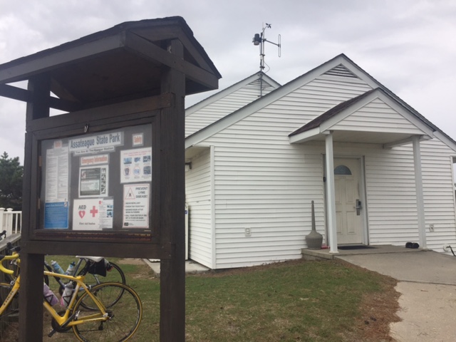
Assateague Visitor Center

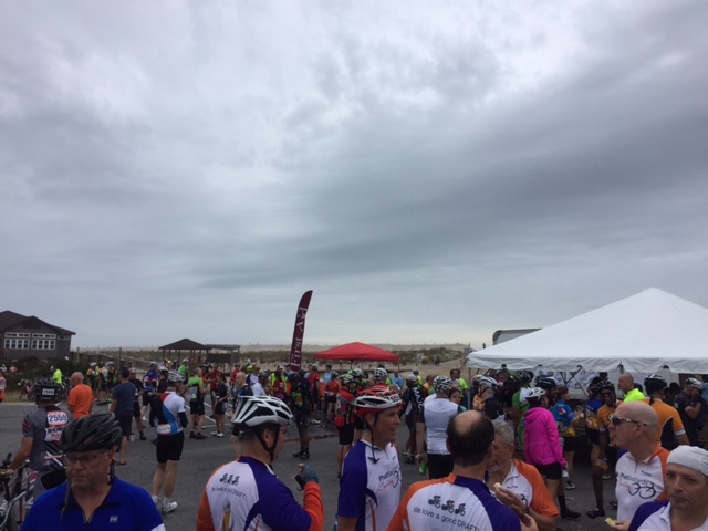
A group from Virginia Beach went by and we jump on their train. With others. We followed them to the first aid station. We stopped, very briefly, not to use the facilities but to rest and stretch. (Well, not me.) Pat said their strategy was to catch a ride behind some tandems. And we did for a while.

Assateague Visitor Center

At Mile 40 we came to railroad tracks which were at an angle. No fewer than five volunteers were warning riders that other cyclists had been crashing here when, just then, a cyclist went down hard on the tracks. Ouch! Message received. (We all navigated the tracks safely.)

Headed up the bike/pedestrian bridge
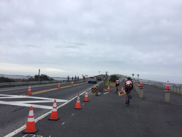
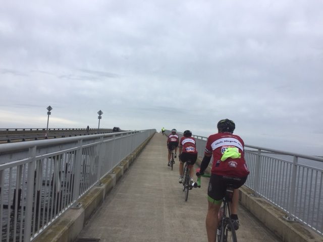
Headed up the bike/pedestrian bridge onto Assateague Island

Just after the tracks at Newark was the second aid station. Slight fail on the organization’s part here. No food. The line for water and Gatorade snaked out to the road but many people, me included, were in line for food. This should have been marked as a water stop. I wasn’t disappointed there was no food, only that it wasn’t advertised that way. I could have skipped standing in line to top of my water bottle. Oh well, they got everything else right.

Headed UP the bike/pedestrian bridge
Headed UP the bike/pedestrian bridge at Assateague Island

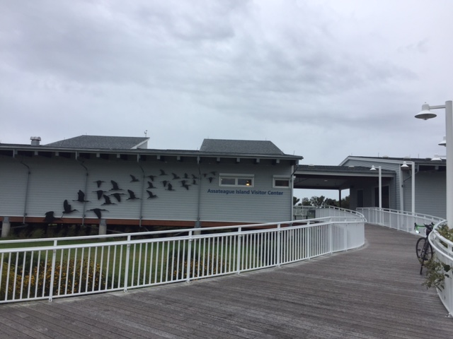
After that stop we rolled ahead to Assateague Island. Just before crossing the bridge to the island the ladies went to the visitors center looking for cleaner restrooms than the porta johns ahead. I suspect they were successful.

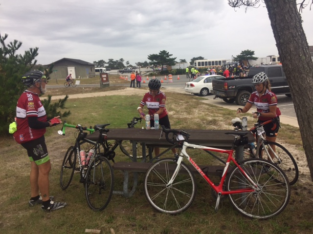
Assateague Rest Stop

The bridge to the island was a humpback bridge with a bike/pedestrian bridge beside it. Bikes had the bike bridge going in to the park while coming out traffic was alternated into one lane allowing cyclists to have a dedicated traffic lane. In other words, the pedestrian bike path was one-way going in and the main bridge, Verranzano Bridge, handled the bike traffic leaving the island, alternating with vehicle traffic.

Assateague Rest Stop

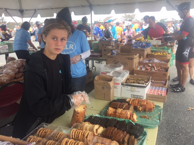
The aid station at Assateague Island was well stocked with food. And water. And Gatorade. We had gray skies and occasional “spitting” of rain but no rain to speak of. The roads were a bit damp but it wasn’t raining. I checked my phone for weather and saw there was rain everywhere around us. It looked like we would get soaked going back.

Food and a surprised volunteer

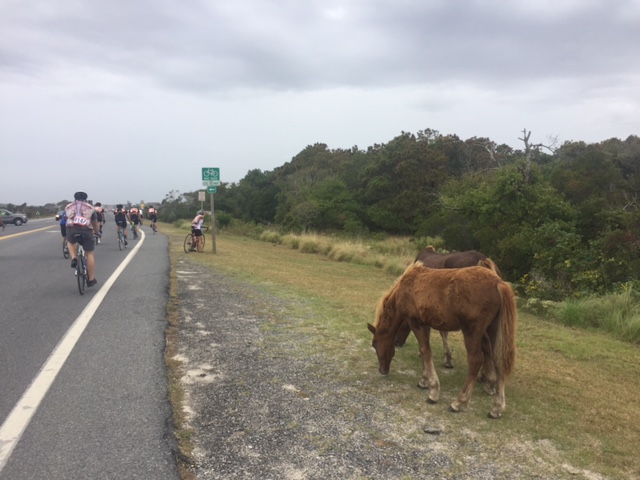
The one picture I wanted on the day was a horse. A wild horse. My phone wasn’t cooperating too much (battery) but I managed one. Or two. But missed the one I really wanted.

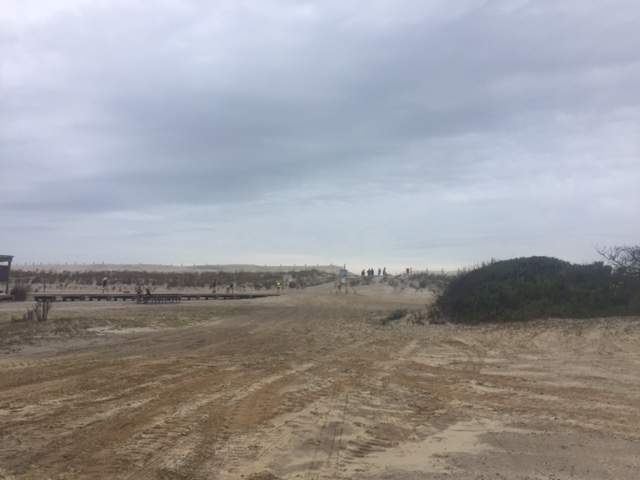
Sand dunes at Assateague

We left the island and motored on home. The tailwind we were hoping for never materialized. Aurora had a flat tire (squishy really which was dragging her down), so we did an 8-10 minute stop to get her back on the road.

Pat, Aurora, Leslie
Pat, Aurora, Leslie

Approaching the finish, it appeared we would be two miles short of a century. We unanimously agreed that this would not be acceptable (I like these people). We turned on Division Street and rode one mile out of town before returning to the route.

Wild horses on Assateague
Wild horses on Assategague

The finish line was pretty cool. There is a pedestrian underpass under US 13. We were directed through the tunnel to the other side of the street at the finish line.

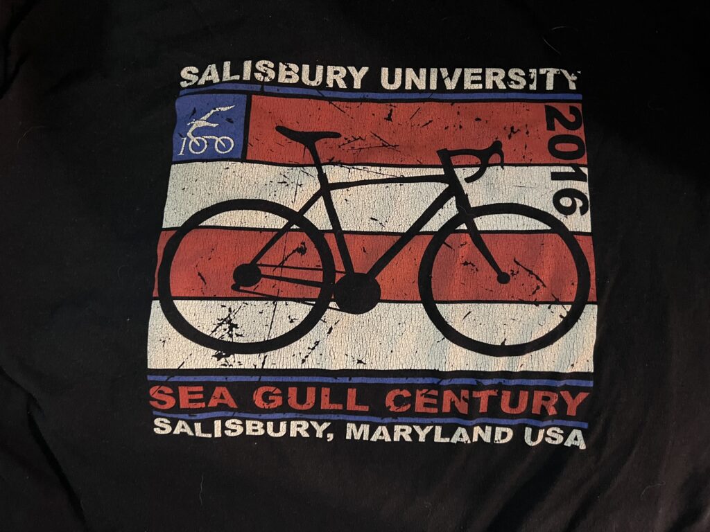
The 2016 Sea Gull Century official long-sleeve T-shirt

In the end, it really was a good day on the bike. The weather cooperated (the rain started only when I reached my car) and I had good riding partners. I went into this ride thinking one-and-done but now think I would do it again. It was good fun.


MILEAGE: 100.6 miles
SPEED: 17.1 mph


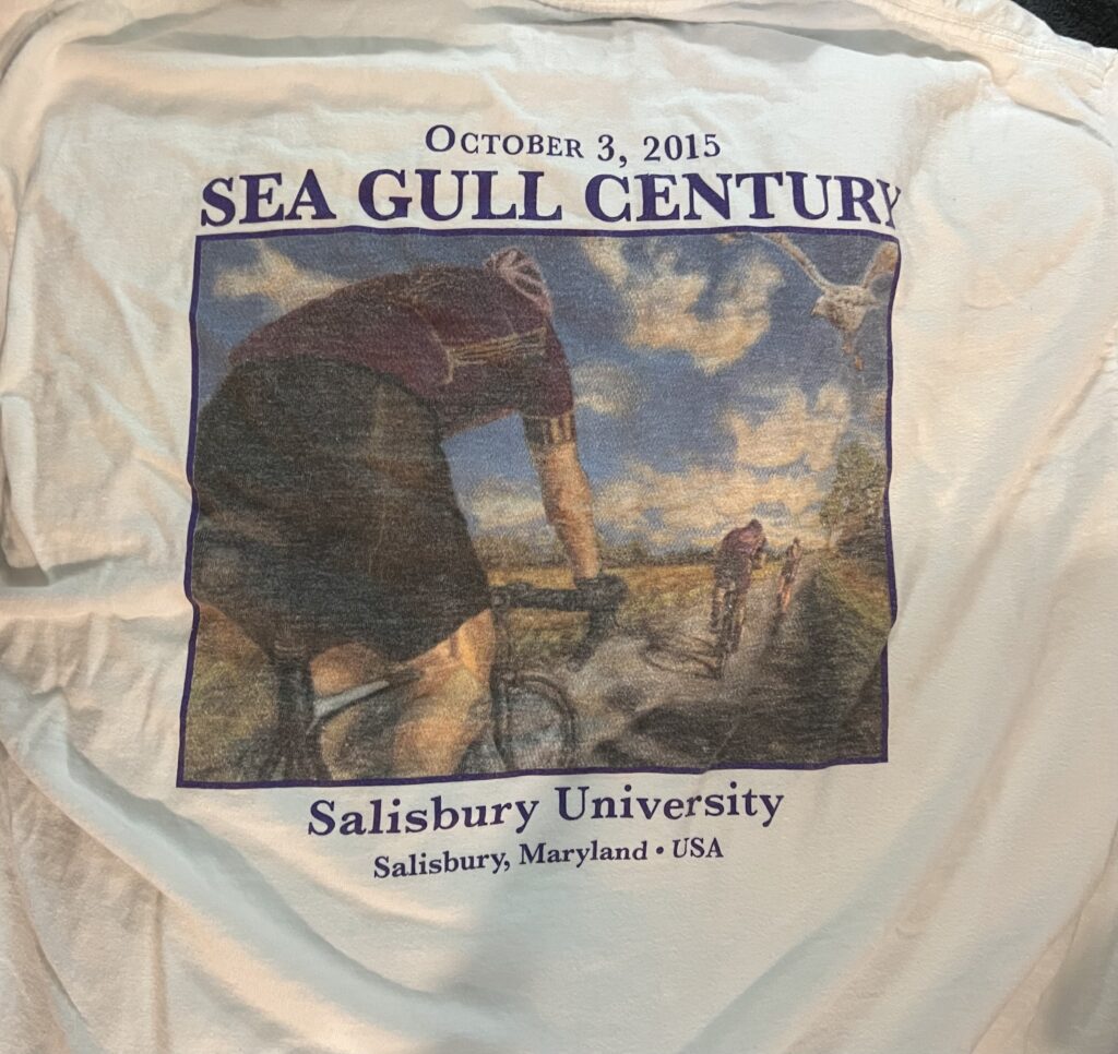
In 2015 the event was canceled but I got this long sleeve T-shirt
Sea Gull generally has the best T-shirts

Alpine Loop Gran Fondo

HARRISONBURG, VIRGINIA

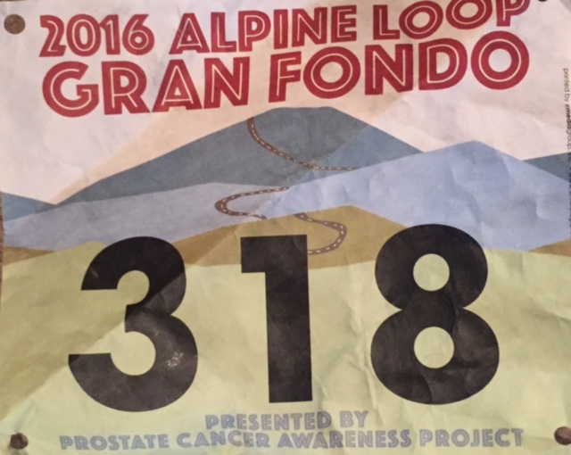
I am sore and hurting. Not from a crash but from being so out of shape for an event. Including the time I stayed in Pennsylvania after my father died, I was two weeks without a bike ride leading up to the Jeremiah Bishop Alpine Loop Gran Fondo. If that wasn’t bad enough, yesterday I refereed a couple of soccer matches – something I haven’t done since April or May. My legs were sore going in.

Maybe it was a culmination of things. During my dad’s final days I did three all-nighter’s with him, one time staying awake 42 straight hours and sleeping just two in 62 hours. Last night we went to Andrew’s hockey game and I didn’t get to sleep until 1:30 a.m. and was up at 4:45 a.m. Clearly I was suffering from not enough rest.

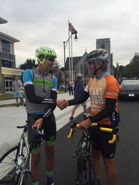
Joe Dombrowski and Barry Sherry

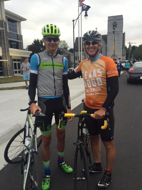
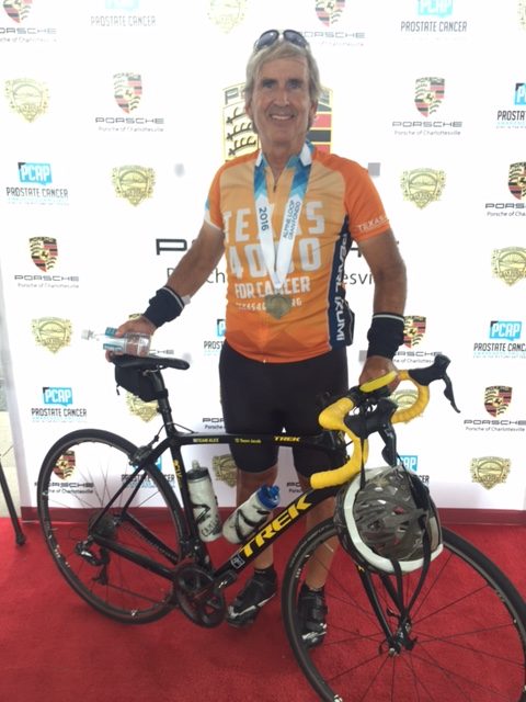
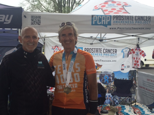
I arrived in Harrisonburg and went to the front of the line as a prostate cancer survivor and supporter of the Prostate Cancer Awareness Project. There I met Joe Dombrowski, of Cannondale-Drapec for perhaps, the fourth straight year. I was able to ask him about contracts for next year for Ben King and Phil Gaimon. He said Ben has (or will have) a contract. He doesn’t know about Phil. It’s a tough business.

Joe Dombrowski and Barry Sherry

I also met Jeremiah Bishop at the start. His wife, Erin, came over and gave me a hug. Neither of us knew if I would make the start today. Robert Hess, of the Prostate Cancer Awareness Project, also came over to greet me.

We rolled out at 8:00 a.m. It was a ceremonial roll out. Two miles in as we turned off US 33 onto Eversole Road I was briefly at the front. I did not position myself here and did not want to be here. My legs felt like crap and I wanted to ride easy with no pressure, certainly not wheel to wheel with the main peleton. When I saw a safe place to exit I bailed out and let the main group pass.

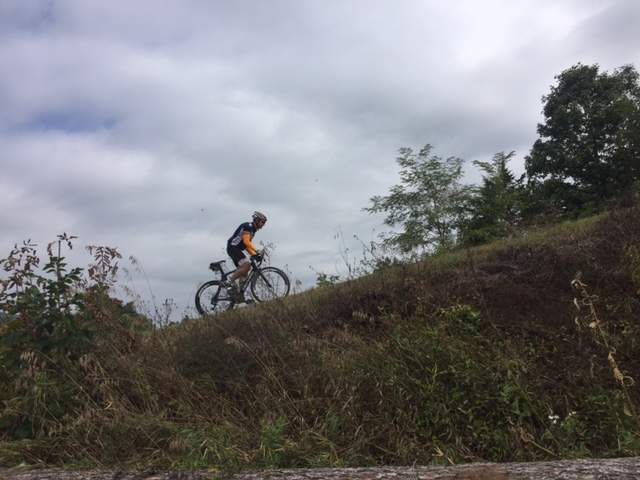
Rider headed up Reddish Knob

I also had a reason to doing that. My heart rate monitor wasn’t reading and I wanted to see how high it was as I was pushing it. I adjusted it and it was recorded 35. Then it was zero. Guess the battery is shot.

al16-11

When I jumped on I was pretty much at the end of the Alpine Loop and Century riders. The timed section of the Shenandoah mountain climb seemed to start at a different location than in the past (I didn’t ride this route last year). When I passed the bridge over Dry Run I started my timer.

Two riders headed up Reddish Knob

On the climb I passed some (eight) and was passed by some (seven). In the past in this position (near the end of the main group) I did much better. Crossing the top I looked at my time and knew it was bad. RidewithGPS has a segment for this climb and confirmed what I knew: This was the worst of my five timed climbs on this route.

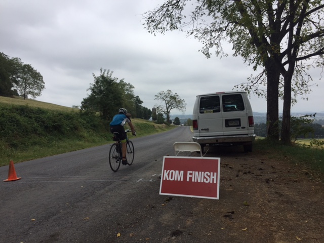
Mole Hill KOM
Mole Hill KOM

Going over the top was sweet. I can still get down the mountain pretty fast. I passed many and was passed by no one. My top speed was 46 mph. Would have liked higher but it was a technical descent. I blew by the first aid station and joined up with a line of riders in the valley. It wasn’t really a pace line because one guy was doing all the pulling and there were six or seven of us getting a free ride. And he didn’t mind.

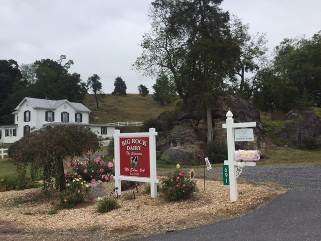
Big Rock Dairy on the "Loop"
Big Rock Dairy on the “Loop”

The second climb was Reddish Knob. Like the first, it was my worst time recorded except for the first year when it was a dirt climb. So worst on pavement. But a good descent.

Leaving the third aid station I came to the moment of truth. I had been thinking all day I would skip the 27 mile loop and ride on home making it a 77 mile day. I came to the loop. I turned onto it.

Near Stokesville Lodge - I think
Near Stokesville Lodge – I think

The loop was nice but I was all alone. I stopped for a picture then was passed by three women. I first thought about joining them but that may have been creepy and I was worried I would not keep up. I let them go. I was passed by a guy who told me to grab his wheel. I declined and then as he pulled away I caught up to him I told him my dad died last week and this was a day for me to just ride by myself. He understood.

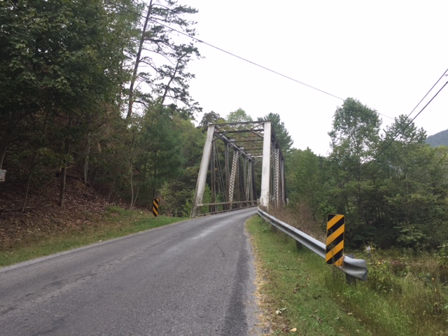
Bridge over North River

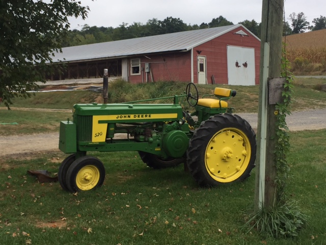
Then I came to it. The John Deere tractor. My dad’s favorite. He loved his Chevrolet, John Deere, and Arnold Palmer. And I would learn later that Arnie died today.

al16-03

The loop ended at the same aid station (#3). A brief stop and I was off to ride the last segment. And there was a timed climb on Mole Hill. I told the guy at the timing station I hated him. (I was kidding, of course. I think.)

Robert Hess and Barry Sherry

The day was cloudy and cool, around 60 degrees, all day. It never warmed up. I wore arm warmers and needed them, except for the climbs in which I sweated my butt off. At the end, I saw Robert again, but still not feeling great, headed for home. I even skipped the meal.

Finish
Finish

It was a day of suffering. I think the circumstances leading up to it made it much worse than it should have been. But a bad day on a bike is better than a good day on the couch.


Eight Bridges

SHELLSBURG, PENNSYLVANIA

This time I got it right.

With rain hanging in the air from Greensboro to Boston, I tried to find a window when it was dry enough to ride. In addition I was coordinating this ride with Rocky Sprow. We agreed on the start time of 12:30 p.m. and met at Shawnee State Park.

Rocky brought his friend, Ed, with him. The last time we rode together I had some girl strip naked in front of me and jump off a dam. I couldn’t promise anything quite as exciting as that today.

Herline Bridge - Longest bridge in Bedford County
Herline Bridge – Longest bridge in Bedford County

We headed out of Shawnee State Park towards Manns Choice. The roads were mostly dry but the sky was gray.  We found the Herline Bridge just five miles into our ride.

From Herline we went on Rte 31 and US Rte 30. We were on the shoulder on Rte 31 for 5.5 miles to the Jean Bonnet Tavern and another 1.5 miles on US 30. This was the sketchy part of the ride but best get it over in the first part. This is marked as Pa. Bike Route S – a major route across the state. But as I often say, “just because you slap a sign on it (designating it as a bike route) doesn’t make it safe.”

Claycomb Bridge
Claycomb Bridge at Old Bedford Village

We found the the Claycomb Bridge  at Old Bedford Village then followed Old 220 out of Bedford. From this second bridge to the third would be 11 miles – our longest stretch between bridges. Up ahead we could see rain on Blue Knob. It did not look like we would survive without getting rained on.

Bowsers Bridge
Bowsers Bridge

We went through Osterburg which was the location where I followed the Covered Bridge Route last time and missed four bridges. This time I stayed with what I knew was right.

Snooks Covered Bridge

The third bridge was Bowsers Covered Bridge and then it was only two miles farther to Snook’s Covered Bridge.

bedford_5

After Snook’s it was just another two miles to Knisley’s Covered Bridge. I rode through each bridge and this was the most challenging. The floor boards have large gaping cracks in them and I rode diagonally to avoid getting my wheel caught in one. But I rode it through it.

Kniseley Covered Bridge

In an area where drivers are usually very nice, we were on Dunnings Creek Road. A driver came up behind us and laid on her horn for about 30 seconds all the while she was passing out. Wow. A young lady too which blew away our stereotypes. May she have a better day than whatever it was that was disturbing her.

Ryot Covered Bridge
Ryot Covered Bridge

The Ryot Covered Bridge was just ahead, about 2.5 miles from Knisley. We survived less a little hearing.

Once onto Rt 96, yet another 2.5 miles just before entering New Paris (“Named for the Capitol of France”) we came to the Cuppett Covered Bridge. It is not open to traffic but one needs to just carry the bike over a guard rail and it has good flooring. I biked through it.

Cuppett Covered Bridge

So that was it. From Bridge 3 to 7, we saw five covered bridges in less than nine miles. We also had been trending uphill but one big hill was still to come.

There is a one mile climb from New Paris to Shellsburg. It probably averages 4% for the climb but the steeper sections seem to be in the 6-8% range. Rocky and Ed were on my wheel but I kept a good pace up, for me. Not sure what I was doing but I saw my heart rate in my red zone above 170. Usually only Mt Washington brings that out of me. Then it went over 180. I’m not sure I’ve recorded higher on a bike. But it felt good. And they were no longer on my wheel.

In July last year I went up with Chey Hillsgrove and Chelsea Johnson in more than 10:00. Today I did it in less than 6:00.

We descended to Shellsburg then went over to Colvin Covered Bridge. Then it was a turn towards home. We passed the Hillegass Camp. Rocky said he spent the summer of his 6th grade year here and learned to swim in Shawnee Lake.

Colvin Covered Bridge

Eight covered bridges in 43 miles. I could have added a ninth (Turner’s) by adding a couple more miles but it is down a heavy gravel road. This route was perfect. The sun came out. Perfect temperature, no rain, eight bridges not four, and good riding partners.


Verified by MonsterInsights