A Birthday Bonk

ALTOONA, PENNSYLVANIA


The heat had come to west-central Pennsylvania the past couple days at the temperatures were up in the 90s. My planned ride was a 65-mile ride around Altoona. It was already near 80º when I hoped to be rolling at 9:00 a.m. But my stomach told me to seek a pre-ride comfort break so I drove to a local Sheetz to use their restroom.

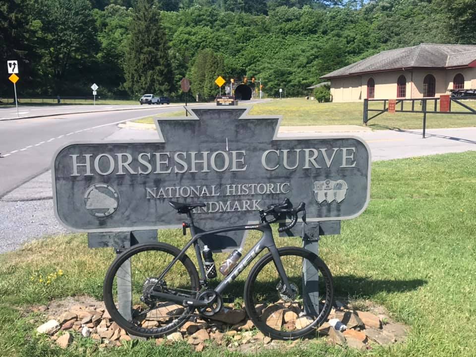
Horseshoe Curve – My Happy Place

My actual roll-out time was 9:30 a.m. That meant I would be out in the heat 30 minutes later than I planned. I had two water bottles on the bike and hoped to find a Sheetz, other gas stations, or country stores for additional water. And then just as I started I got a warning my Di2 (electronic shift) was on low battery. I hoped it wouldn’t fail.

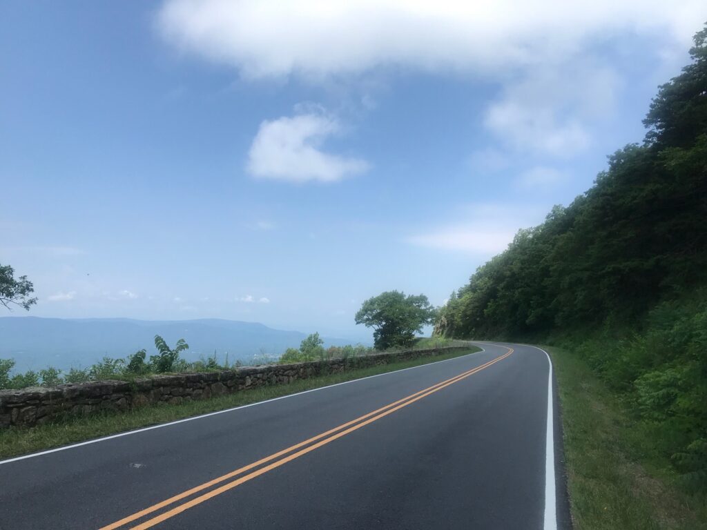
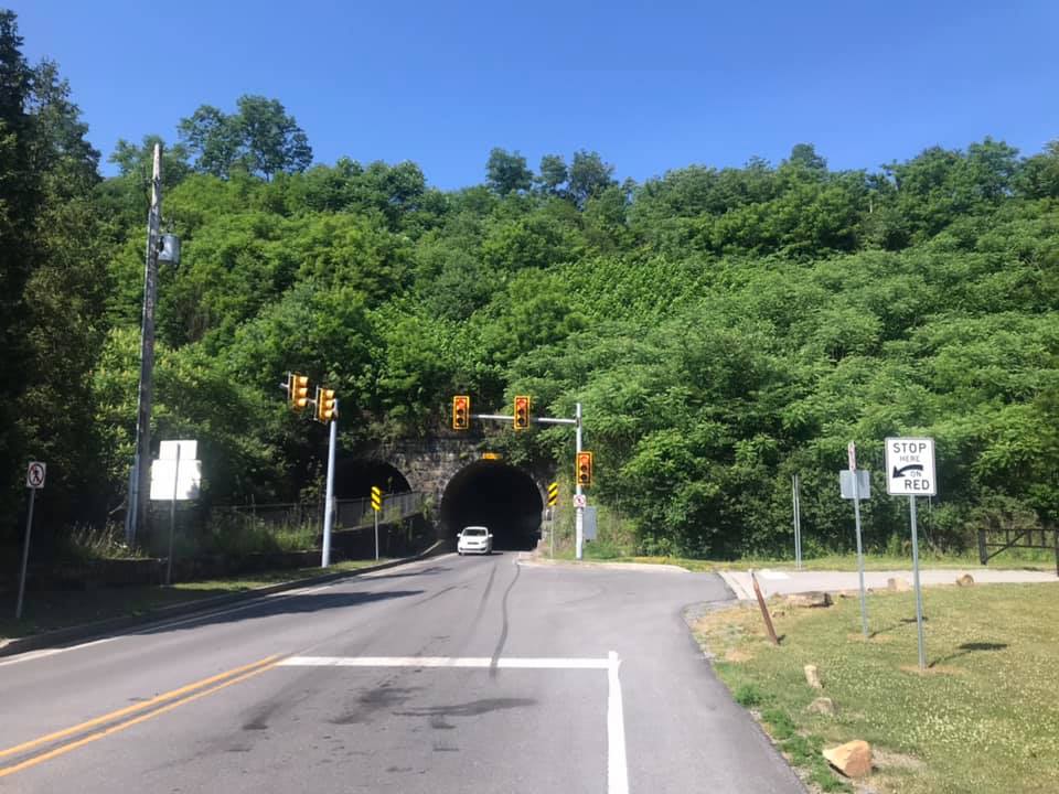
The climb to Horseshoe Curve went off as normal. I have a feeling with each passing year I am just a tad bit slower. Once through the tunnel under the Curve, the road turns up. And it sure is beautiful. Only four cars in four miles passed me. I’m surprised more locals don’t use this road but maybe it’s too steep.

The tunnel at Horseshoe Curve. There is a portal on the left to carry water – not traffic.

I thought of my friend, Scott Scudamore, who climbed this with me in 2010 with some friends. Across the top on Gallitzin Road, I passed through Tunnel Hill. I was glad to see the once-closed Country Store re-opened but it was too soon into the ride to stop. The ride down Sugar Run Road was great. Again, I thought of the two times Scott and I rode this in 2010. We had such fun on the descent.

In Duncansville, I passed a Sheetz. I checked my bottles and I was only down 1/2 of one. It didn’t make sense to stop for water. It was still too early to refill because there wasn’t anything to refill. I hoped I’d see another Sheetz.

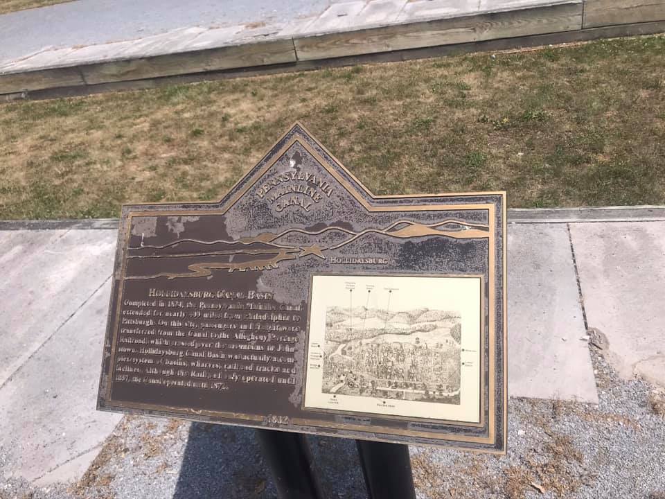
Canal Historic Site, Hollidaysburg, Pa.

In Hollidaysburg, I went off course when I saw a canal historic site. Here was the end of the Pennsylvania Canal and the beginning of the Allegheny Portage Railroad. I could spend more time here but needed to ride on.

Canal Historic Site Hollidaysburg

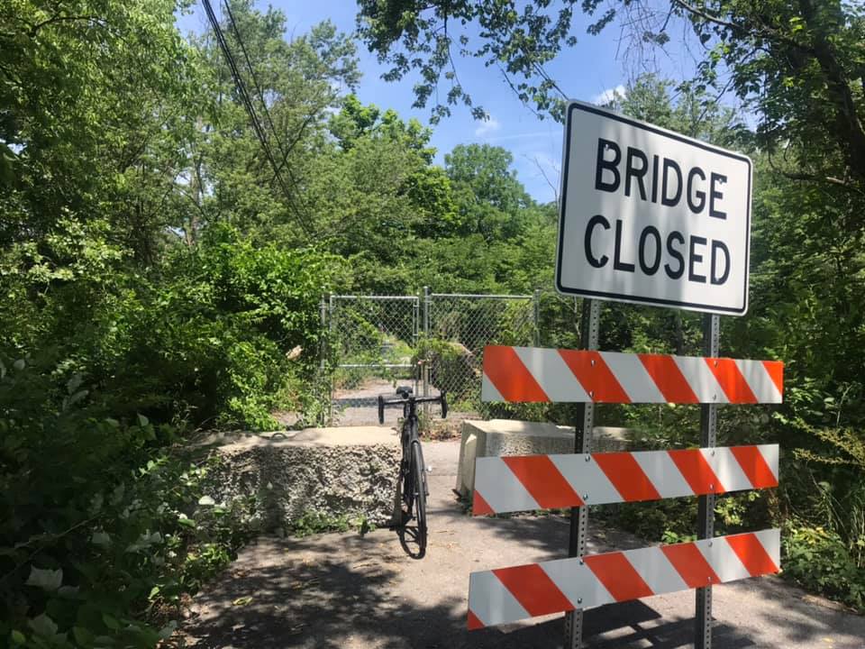
I had mapped out the course for today’s ride and took off on Loop Road. I crossed Reservoir Road and turned on Locke Mountain Road (going down, not up). But up ahead I came to a Bridge Out sign. When I saw the sign I thought I would go down the road anyhow because most bridges that are out can be walked with a bike.

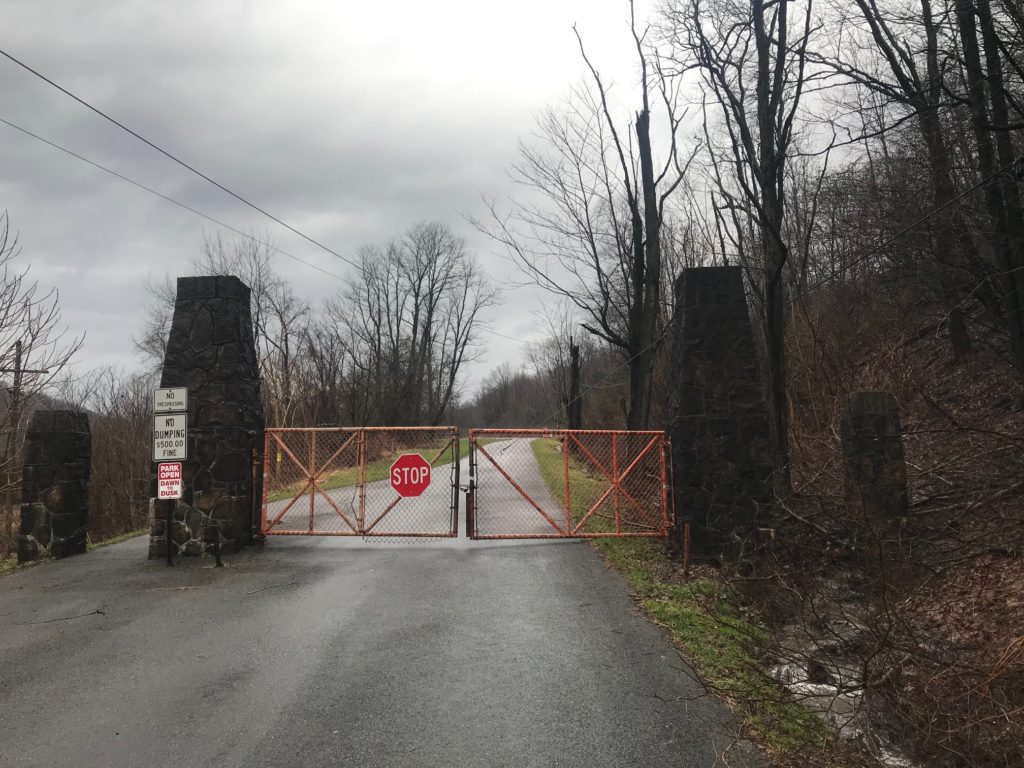
Not this bridge, It had a locked fence and there was nowhere to go. It looks like this bridge will never be repaired.

They really don’t want you crossing this bridge. Out of battery. Out of water. Out of road.


I rode out to U.S. 22 for my own detour. I came to the intersection and saw a cyclist who was stopped. We exchanged pleasantries and I missed my opportunity to ask him about water. I was completely out of water and was very thirsty. I was parched.


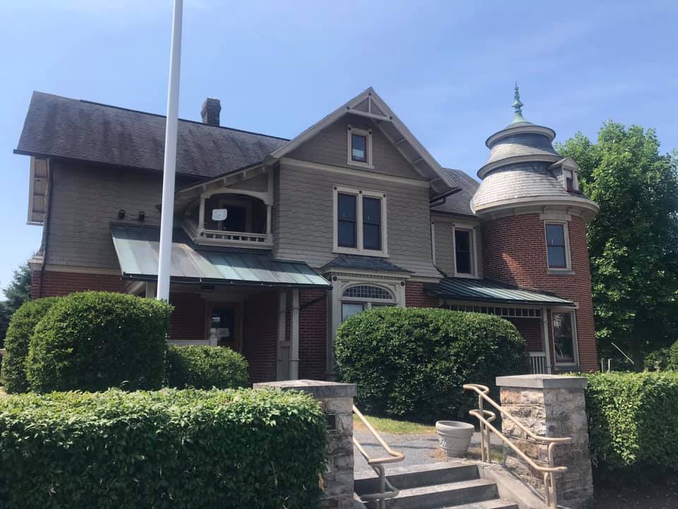
Hollidaysburg next to the canal historical site


I saw a sign which stated Hollidaysburg-2, and Altoona-4. I was surprised I was so close to town because I knew I still had 25 miles to ride. And here I made a  critical mistake because I needed water. I needed to find water and then readjust everything once I got hydrated. But I also wanted to finish the mapped course and I prioritized that above finding water, which was stupid.

I was suffering greatly when I arrived at Canoe Creek State Park. I went in their admin building and their fountain was there – an oasis that I would kill for. But it was covered up – Sorry, it was closed due to COVID-19 even though the transmission by touching objects had been ruled out by the CDC months ago. They had a restroom and I filled my water bottles there in the sink.

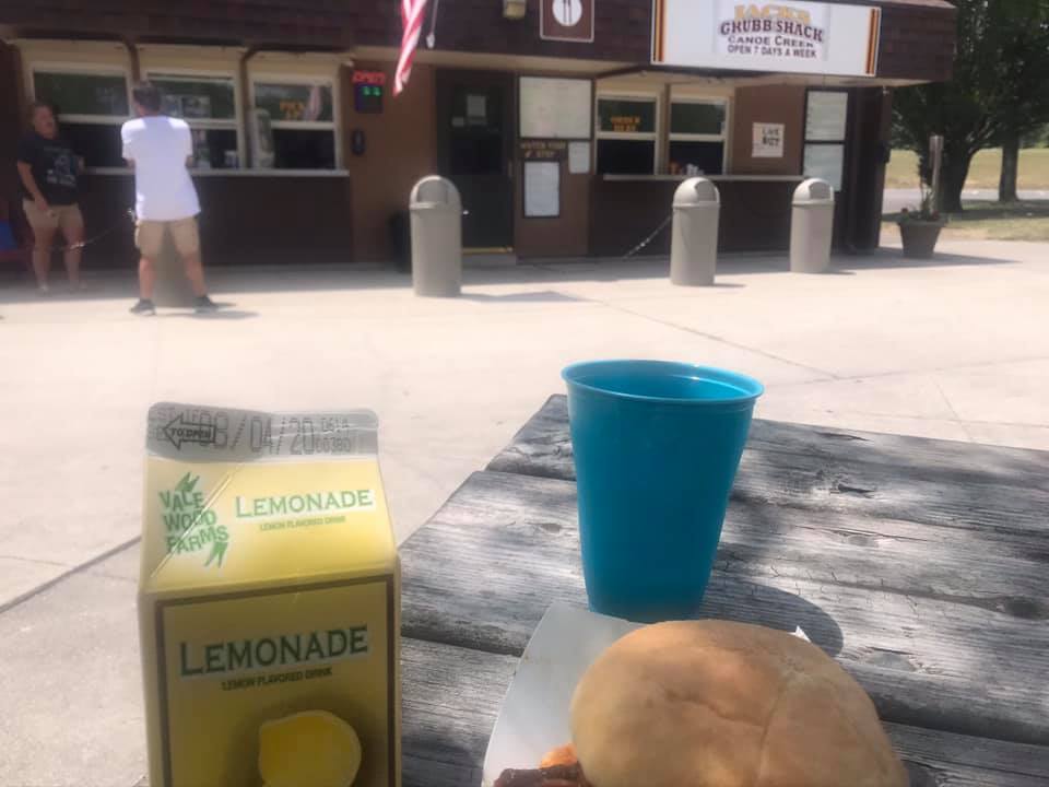
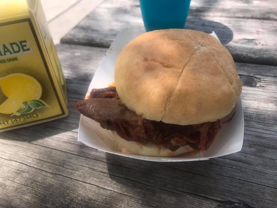
Lemonade and pulled port. And ice water.


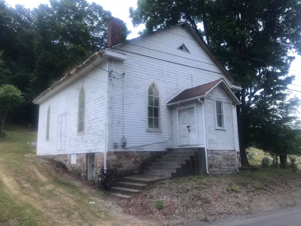
I went to the Canoe Creek E.U.B. church. It has been closed for years and is now a bat sanctuary. But in 1958 it was the first (of three) churches my dad was assigned to as a student pastor. I could feel his presence as my mind thought back 60 years to this student-pastor serving this church.

The former Canoe Creek E.U.B. Church


After I left the church, I went back to the park and found the concession stand open. I  wisely bought some food and drink and took 20 minutes to refuel. I had bonked. My body ran out of fuel. The heat, combined with running out of water,  and I had no energy left.

I made some critical mistakes. I hadn’t researched the presence of stores or gas stations on the route. I used to believe that a Sheetz gas/store was everywhere near Altoona. Well, not on this route. I had some great products by Skratch Labs – sitting at home. I grabbed two Kind bars and had them in my pocket but they were a chocolate nut mess. At the intersection of US 22, I should have gone searching for water. Instead, I followed my planned route.

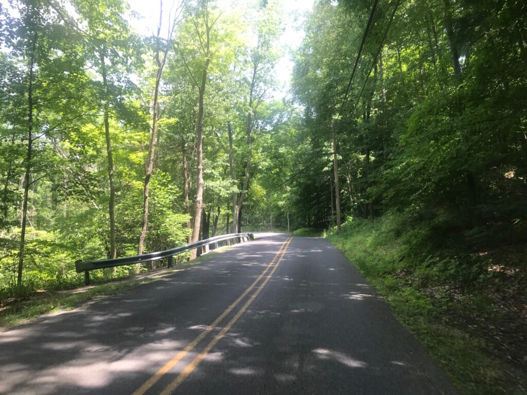
The Di2 low battery had already disabled my big gear so on the rolling roads I could not pedal in the big ring, I spun, if you call it that, on Scotch Valley Road back to Altoona. I would say I was going nowhere fast but more properly, I was going nowhere slowly.

Food at Canoe Creek. Pulled Pork was $2.50.


As I got closer to Altoona, I made one adjustment to my route once I knew my way without my pre-drawn map. I knew it might leave me a little short of 65 miles (today’s goal) and figured I could ride around the mall to complete the distance. Which I did.


Scotch Valley Road

The heat really took its toll on me. Or heat combined with dehydrating because I ran out of water. And fuel. I did not carry the right fuel with me and I paid for it. Never did find another Sheetz until I was 0.5 mile from the mall where I started. And not having my big gears also hurt. It was a difficult ride but I am thankful to have finished it.


Miles: 65
Temperature: 90°
Weight: 210

Path of the Flood

JOHNSTOWN (FRANKLIN), PENNSYLVANIA

I was looking at the Winter 2020 edition of Rails to Trails magazine and saw a very brief article about the Allegheny Portage Railroad. I had seen the eastern end many times, it is well preserved as a National Park Historic Site but I had not been on the western end.

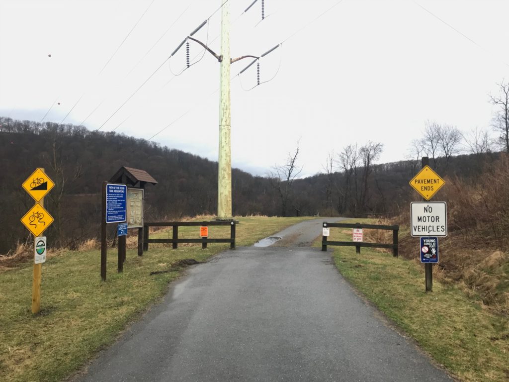
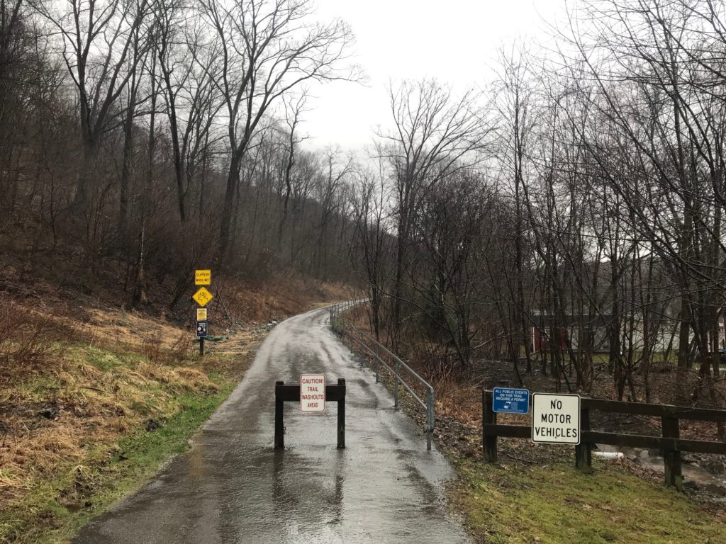
Trailhead for Path of the Flood Trail

In 2010, on my first ride from Somerset to Punxsutawney, I had taken a wrong turn and ended up at the trailhead of the Path of the Flood Trail. I turned around when the pavement ended and the trail became crushed limestone.

First quarter-mile; the pavement turns to a gravel road

I wonder what adventure I would have had if I had stayed on the trail that day. Lost, that’s what adventure.

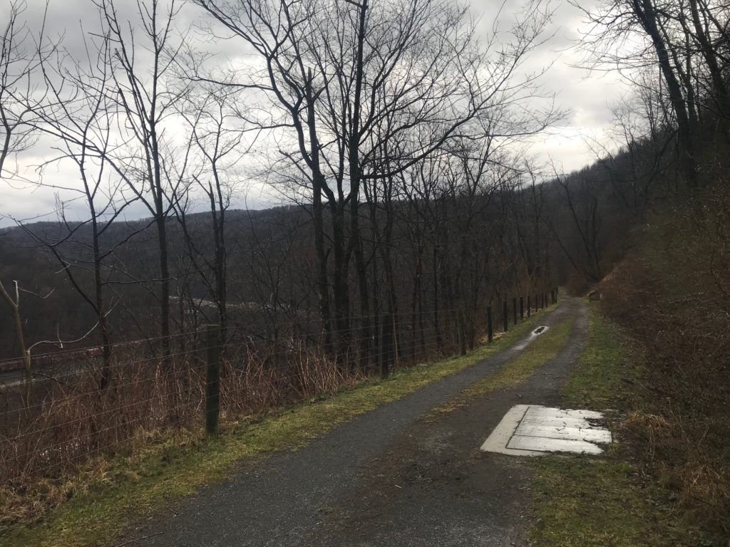
Path of the Flood Trail. The river is visible on the far left beyond the train tracks.

But today I decided I would do a loop by following the trail to South Fork then taking the road back to where I had parked. The forecast was for rain starting around 11:00 a.m. so I went early.

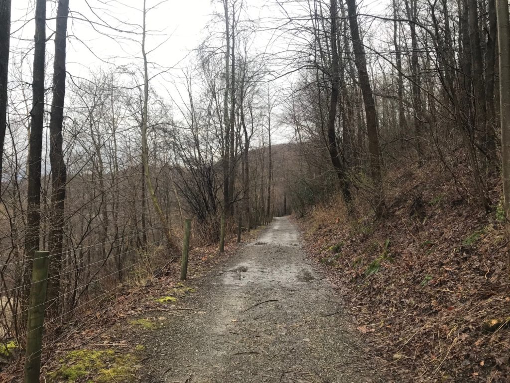
Path of the Flood Trail – the crushed limestone trail turned to mud and single-track

I drove to the trailhead but the park was closed. Not sure if it was the season (a weekday in March) or was in response to the Coronavirus. I went back into Franklin and parked on the street.

On the trail to Staple Bend

It started to rain as soon as I started to pedal. I was in it to win it and the rain would not stop me.

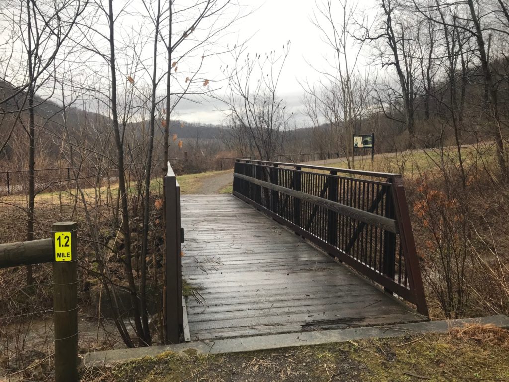
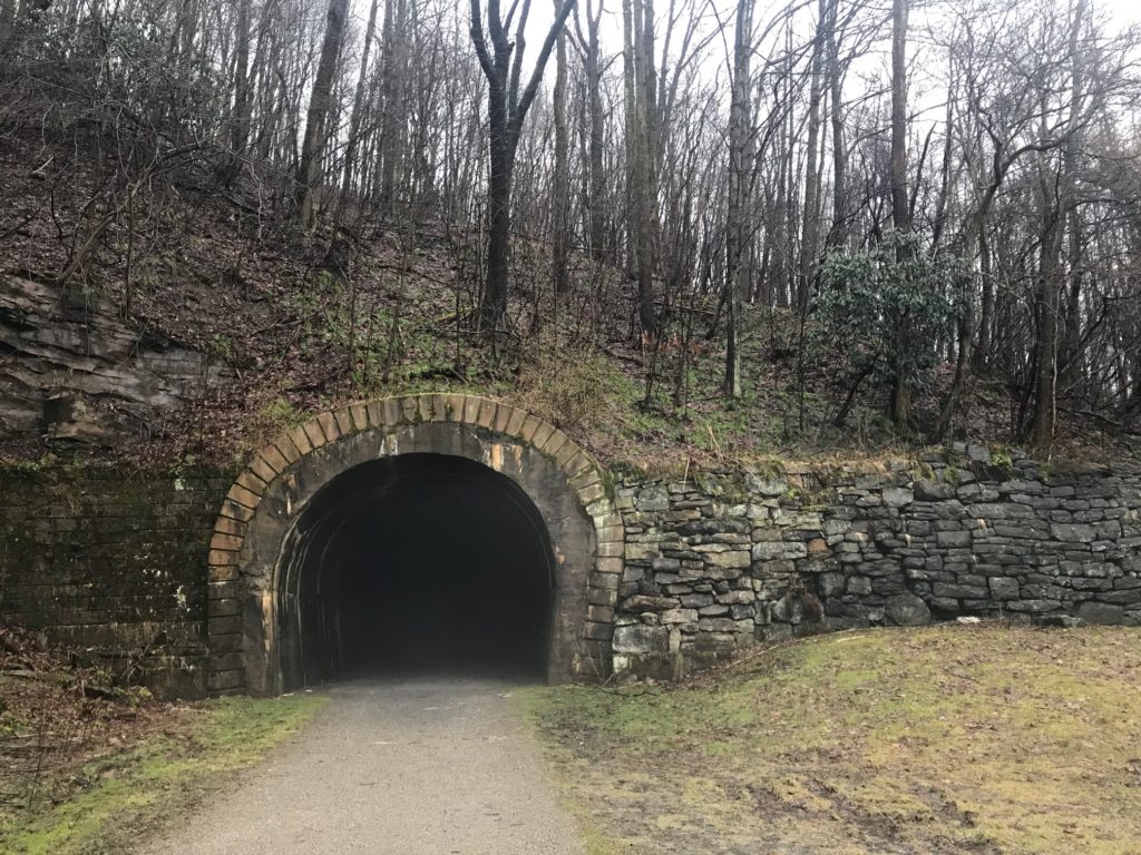
A bridge at the base of the Staple Bend Tunnel


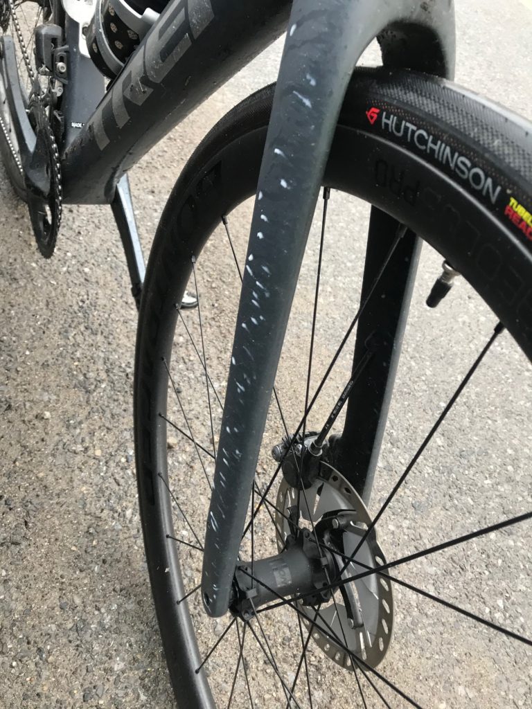
The trail went from decent crushed limestone to less limestone then some grass/mud areas. I was riding my new Trek Domane with 32cc tires and felt comfortable on the surface.

This is an uphill section to the tunnel. As with most photos of hills, this does not capture the grade but it is steeper than it looks.


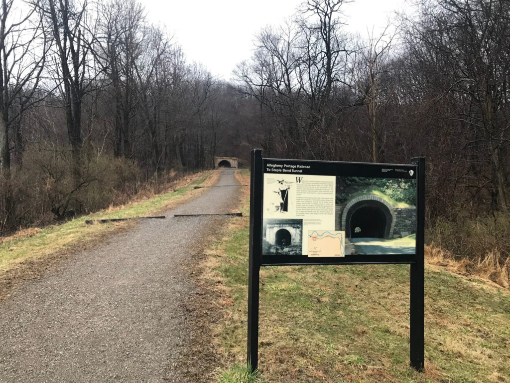
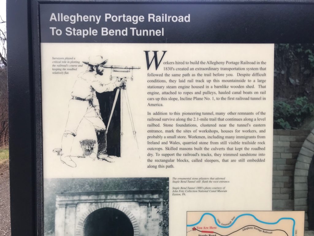
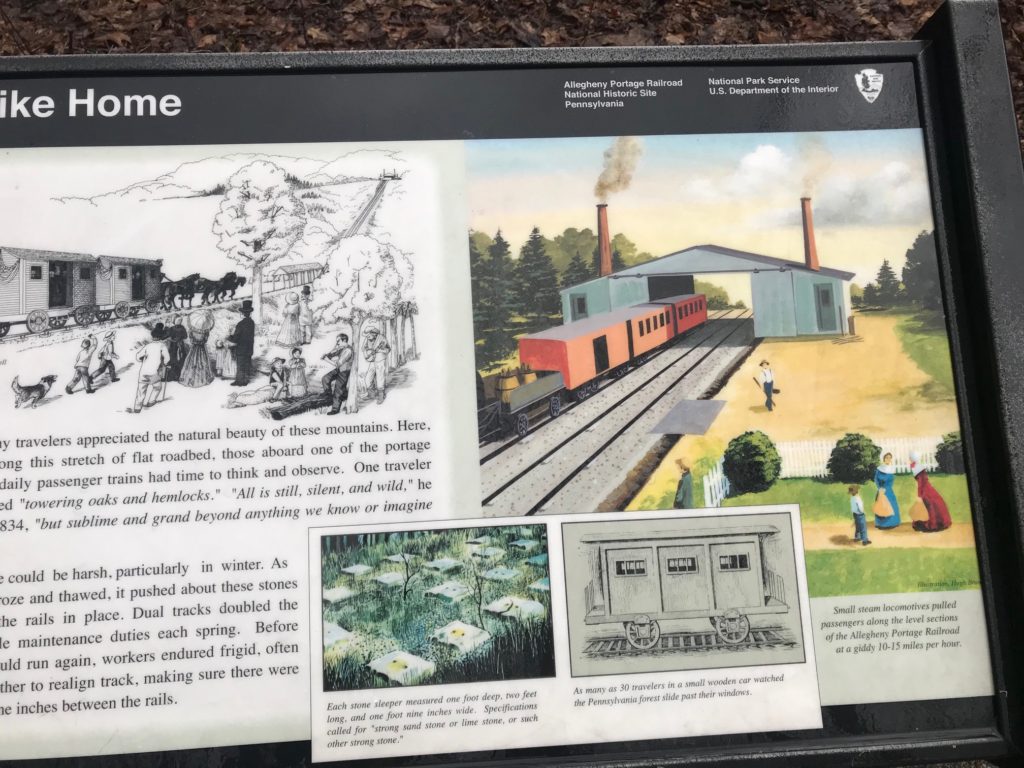
It was only 2.5 miles from start to the Staple Bend Tunnel. I suspect that this was the start/finish of the Allegheny Portage Railroad. The tunnel was the first railroad tunnel in the U.S. (1833). From here would have been an inclined plane that probably went to the river’s edge.

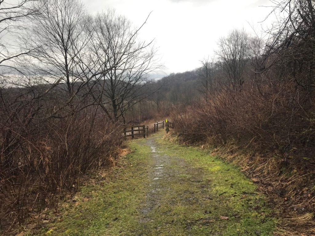
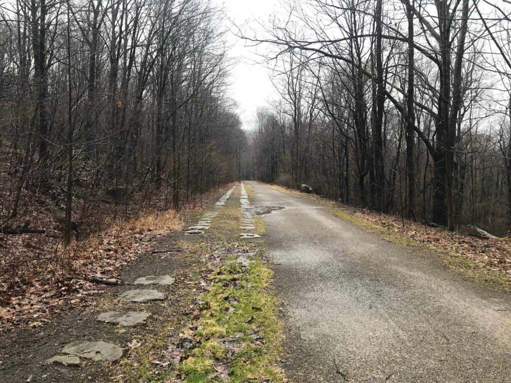
It was here the trail would have been a true “rail-trail” because in this section it followed the path of the Allegheny Portage Railroad. And the surface felt like it. There was the “climb” up to the tunnel. It was probably about 6-7% grade, and while I could ride it, it took me a few steps before I could get going.

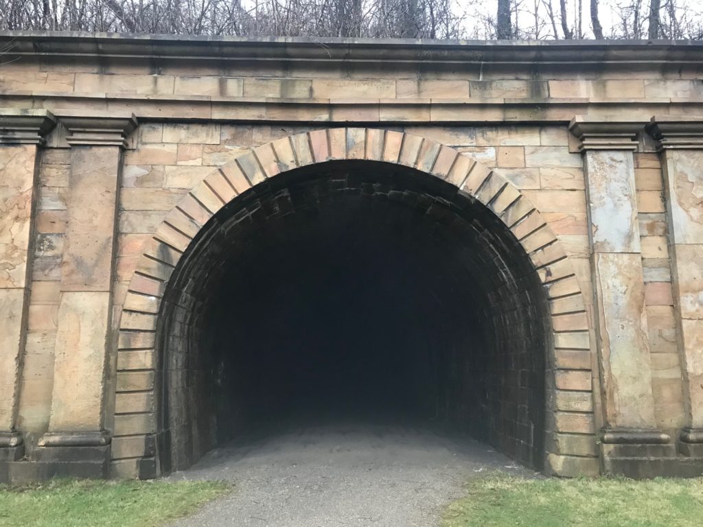
Supposed to see light at the other end. This is the eastern portal of the Staple Bend Tunnel.


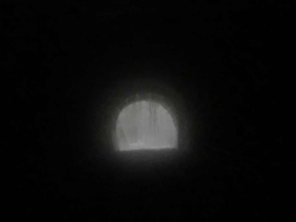
I had read that you could go through the tunnel without a flashlight because you can see light at the end of the tunnel. Not today. Pitch black. It was actually pretty frightening looking. I thought that maybe it was closed for the winter and there was a closed door at the other end. But surely there would be a sign at the open end.

There was light at the end of the Staple Bend Tunnel

I decided to try it. I would ride deep into the tunnel and see if I could see. I had a helmet light and a small portable flashlight. I started pedaling and scanned the flashlight back and forth. I made noise, lots of noise. I was fearful there may be an animal or two in the tunnel. At some point, maybe halfway, I could begin to make out some daylight.

Staple Bend Tunnel westbound – much different portal than on the eastern end


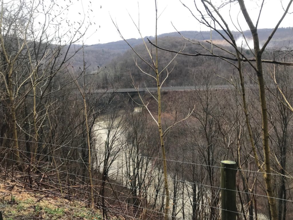
As I exited the tunnel, the rain started again, this time heavier. The trail was in pretty good shape, high above the Little Conemaugh River. There was no guard fence and there was a warning to dismount and walk because of the steep dropoff. I did not.

On the left are the stones that were the original trackbed for Allegheny Portage Railroad


At Mineral Point, which was only a little more than a mile from the tunnel, the trail ended. I have no idea with the topography of the land where the Allegheny Portage Railroad would have gone.

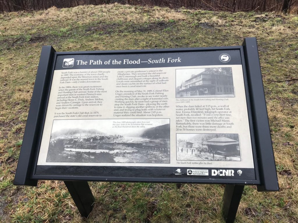
But I went, down and under the train tracks and across the bridge into Mineral Point. This town was virtually wiped out in the 1889 flood. Here I picked up the Path of the Flood Trail. The trail climbed on the north side of the river. It was never a hard climb but a gradual one.

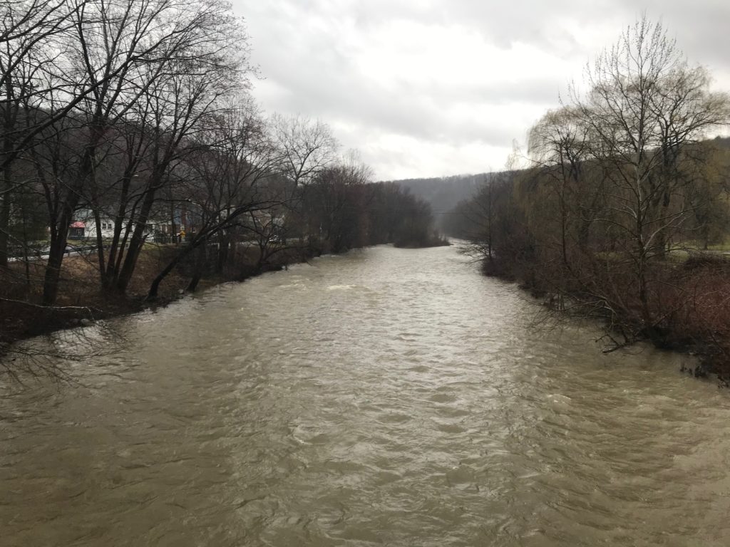
Little Conemaugh River in Mineral Point


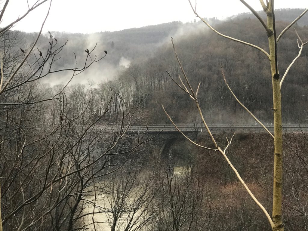
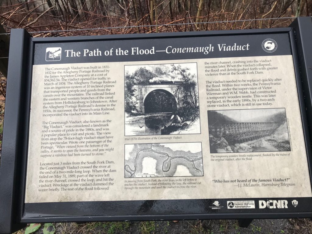
Across the river, I could see the Conemaugh Viaduct. It was a beautiful stone structure in 1889 where the rushing waters forced debris and piled up until the structure collapsed. It was, by some accounts, more forceful than the damn break.

Conemaugh Viaduct

The Pennsylvania Rail Road needed to get trains back in service and amazingly, had a new structure in place within two weeks! A permanent stone structure built in the early 1890s.

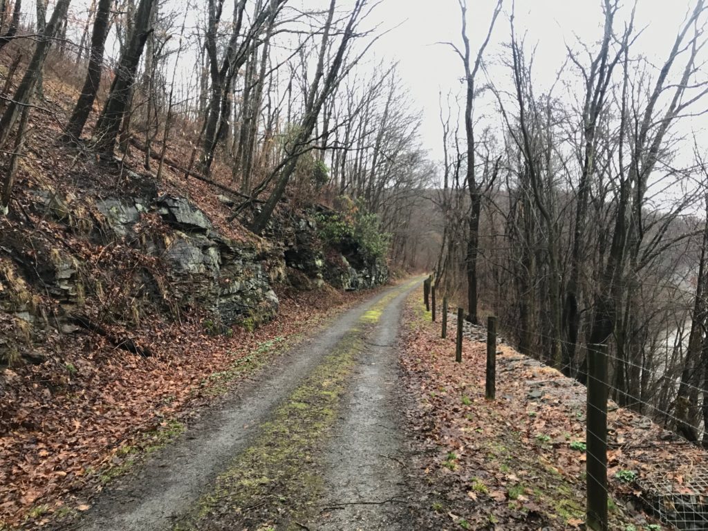
Path of the Flood Trail between Mineral Point and South Fork

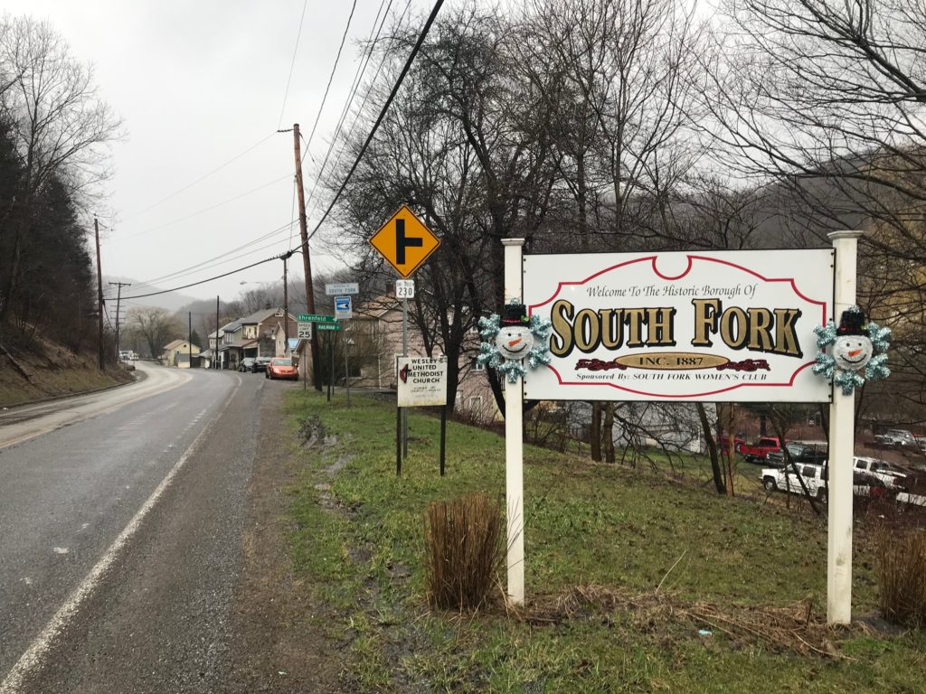
I got into South Fork and planned on taking the road back. But first, I wanted to continue east towards the remnants of the dam, which I have seen many times. But then heavy rains came. I turned around and decided to head back to the car.

I had gone a little more than two miles when I pulled over to put on my glasses. I couldn’t find them. I had started the day wearing sunglasses, despite the absence of sun, to keep the rain out of my eyes. But they had fogged up and eventually, I tucked them away. They were in my back jacket pocket and now they weren’t. They had fallen out when I got my phone out at the tunnel and I thought they must have fallen out somewhere between the tunnel and South Fork.

At first, I decided to roll on without them. It was raining, and cold. The glasses served me many miles but they were old. My $50 investment would be gone. I went about half a mile farther and decided I would backtrack and I may find the glasses. I knew no one would be on the trail and if they fell out, I would find them. They had white frames, not black, so should be easy to spot. I made the decision I would trace my route to Mineral Point but not the final section through the tunnel as it was pretty rough riding.

On my way back, as I came to the viaduct, the morning fog had lifted and I went for a photo. Then I took the flashlight out of my jacket and put it in my jersey pocket. There wasn’t room. My glasses were in my jersey. Duh! I must have put them there after they fell out of my jacket. They were with me the entire time.

Path of the Flood Trail in Mineral Point

I rolled on to Mineral Point. As I crossed the bridge a geyser of sealant came gushing out of my front tire. I had a leak. I quickly turned around for a slight downhill section to go as fast as I could to rotate the wheel and get the sealant to seal it. It worked. I think.

I started the climb on the road out of Mineral Point. The tubeless tire seemed to have sealed. This road was steep. It was also about 3 1/2 miles. I got to the top, turned right, and began the coast home. I was worried about the tire but it appeared to be holding. I got back to the car and tried to wipe the bike down. I inflated the tire as it was down to 35 psi (from 80) I put it back to 80 and it appeared to hold. I drove through Johnstown on my way to a bike shop. Then I heard the tire. It was leaking again. A not so good ending to a wet and otherwise, perfect, day.

Got a bath in sealant


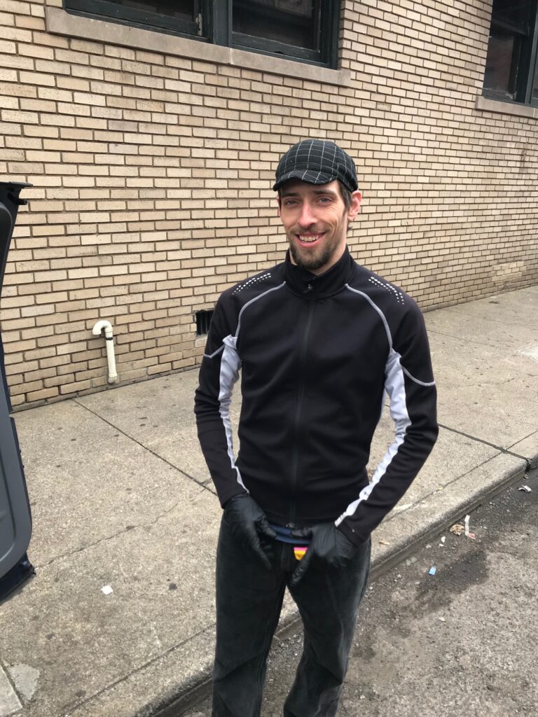
EDIT/EPILOGUE – The great tubeless experiment 2020 lasted little more than a month. I needed to get a repair fast and City Cycles in Johnstown was closed – forced closed by the governor. I called Paul McIntyre, in Pittsburgh. Paul had been my go-to mechanic in Reston before moving to Pittsburgh. Their bike shop was also forced to close but Paul met me in a dark alley in Pittsburgh and we repaired the tire so I could ride another day.

Paul McIntyre – Not doing a bike repair in a back alley in Pittsburgh which was illegal according to the Pa. Governor.

A Thin Strip of Paint

CLERMONT, FLORIDA

I came to Florida to escape Virginia’s Fall temperatures and ended up with Virginia’s Fall temperatures. It was 55° when I rolled out of the hotel for Waterfront Park. I put on long-fingered gloves. There were three rides today and this was the last one scheduled.

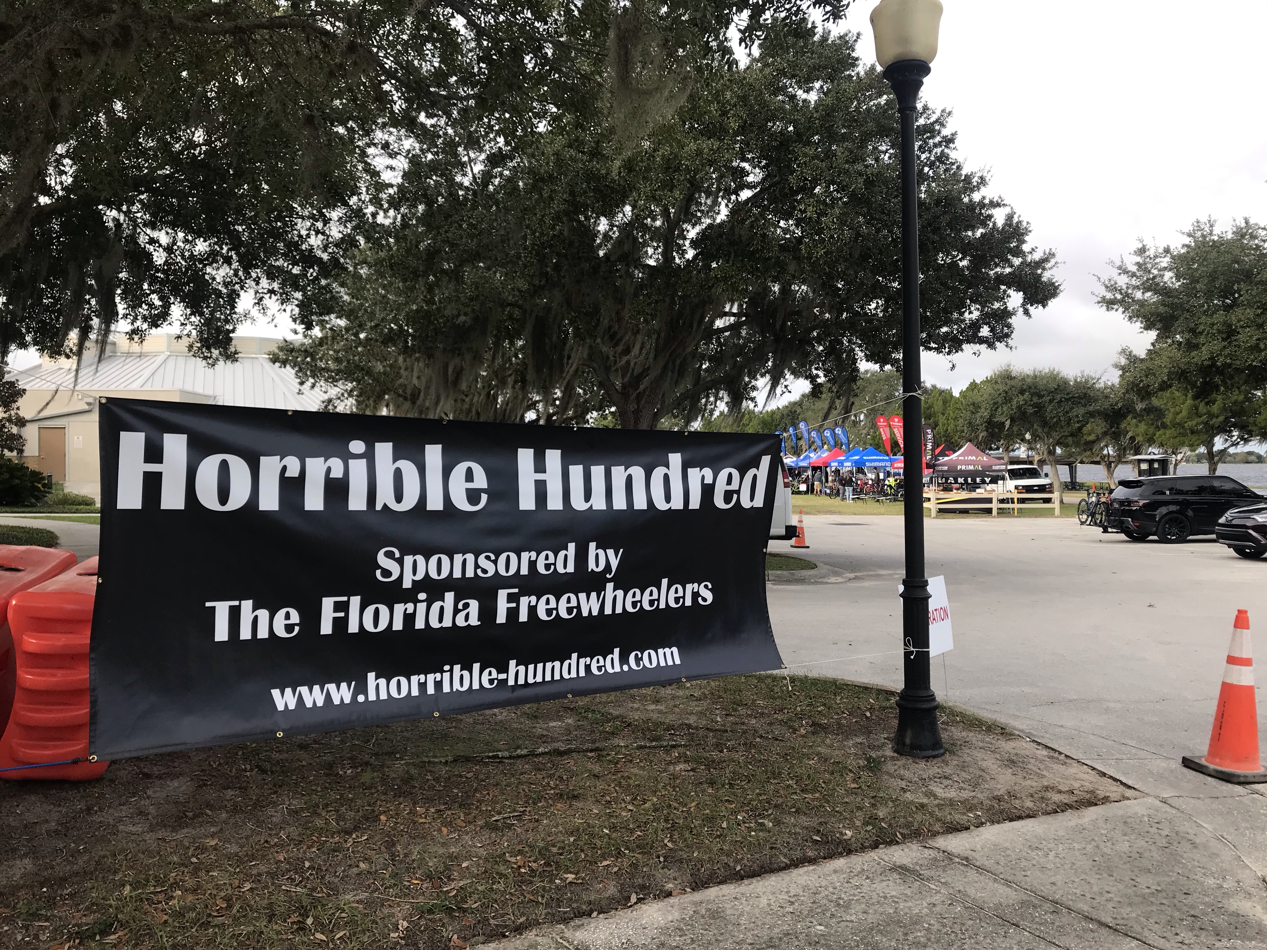
Registration Check-in

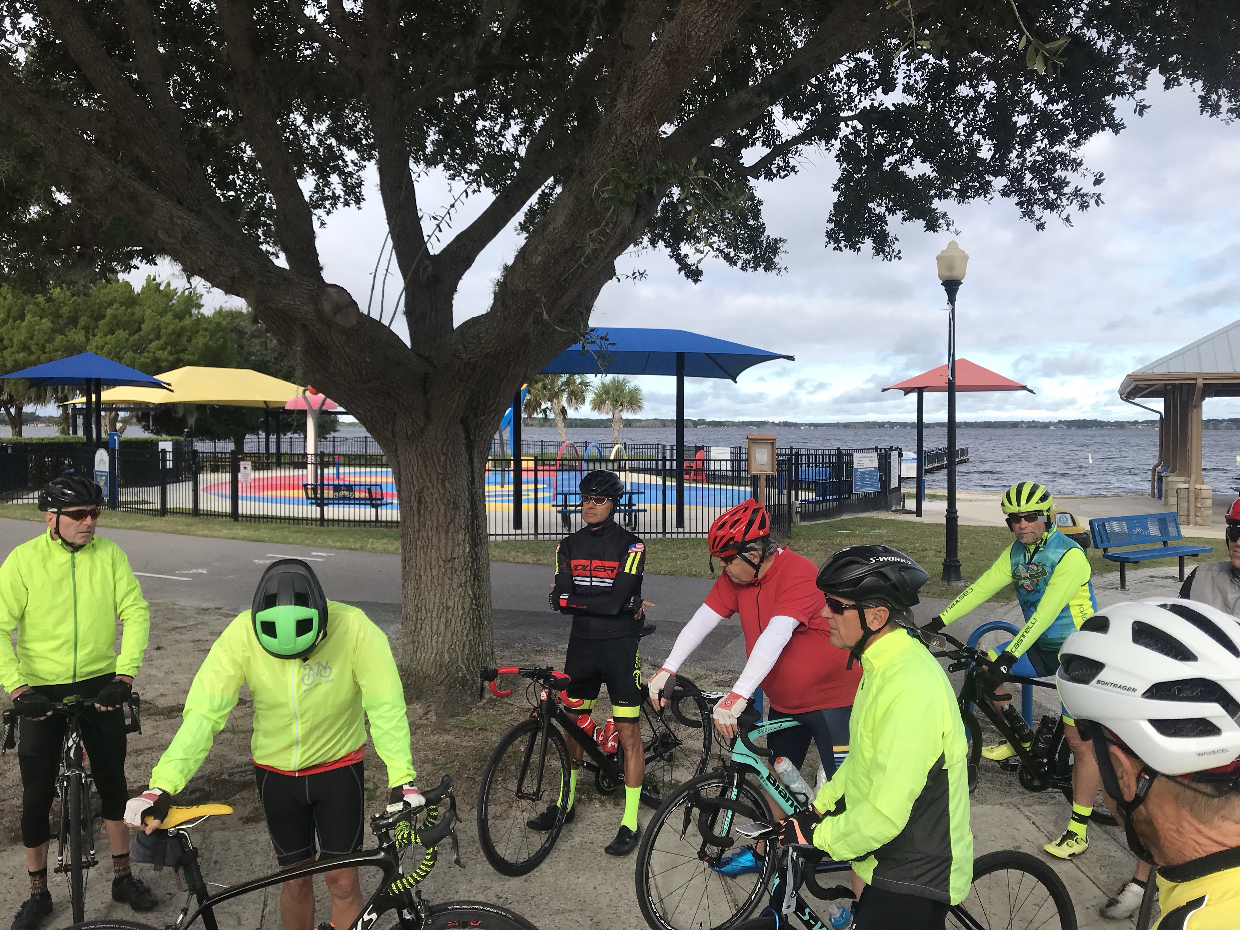
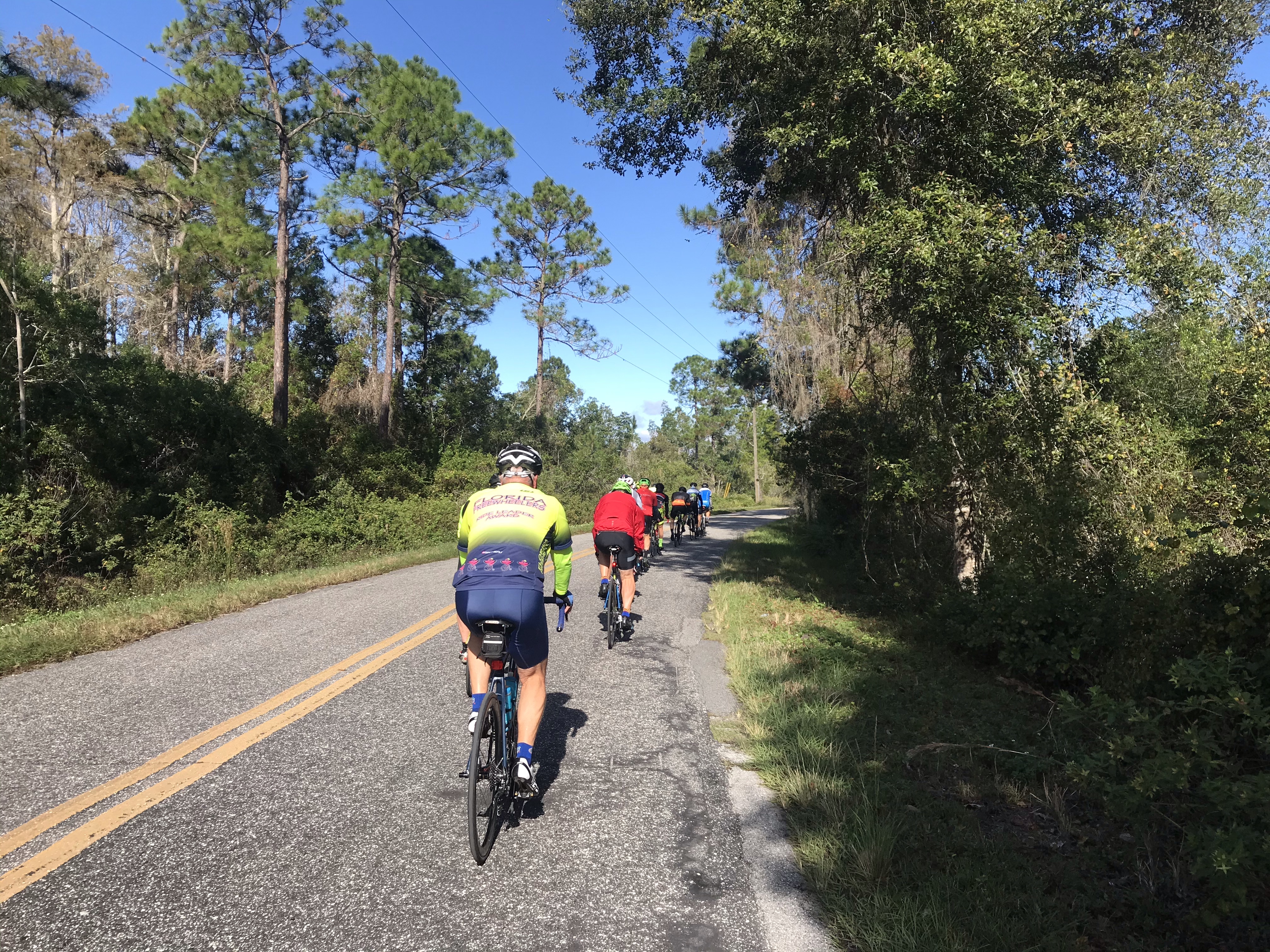
We rolled out at 9:00 a.m. for a 42-mile ride, not including my hotel miles. The organization for the Horrible Hundred offered these “familiarization” rides the day before the event. Our group, about 14 riders, at first looked to be mostly equal in ability. But quickly, one noticeably overweight cyclist dropped back. I love riders riding, of all abilities. So I dropped back to talk with him.

He was from Winchester, Va. which made us practically neighbors. Really, he would have been fine except he kept talking about his domain is the mountains so he can’t go as fast as the flatlanders can on these flats. Saying nothing would have been fine. We’ve all been the slowest or fastest. No excuse is necessary.

The rubber band broke and he lost contact with us although one of the leaders stayed with him. There was a four-mile loop before a turn so we went ahead and when he arrived there he would turn and be in front of us on course.

Riders at the start

At Mile 30 we stopped at a gas station. Ever mindful of lactic acid building up while standing around, I announced I would keep going and soft-pedal. The group could catch us. My friend came with me.

I had to soft-pedal and wait a little on some inclines but I was keeping us together. I saw a port-a-john at a boat ramp and pulled over. He did too.

Now with 10 miles to go, we pulled out onto the main road. Except he didn’t come. I pedaled slowly for 1/2 mile and never saw where he went. Then I decided just to ride.

I doubt I was the oldest in the group but was far from being the youngest. I was sure the group would catch me. But then I didn’t want to be caught.

It’s a funny thing, this sport. You tell the group you will ride ahead and they can catch you. And after a while, when they don’t, you become determined not to let them catch you.

Some of our riders

I picked up my pace and occasionally looked back the road to see if they were coming. It was almost “time trial” mode for the last 10 miles although I don’t have aero bars on my bike. Some did though.

They never caught me. I was first in this group.

I went to registration and signed in for tomorrow’s ride. I left and backtracked 1/4 mile expecting to see my group. I never did.

I hope they did not suffer any mechanicals or accidents. I was sure the group would catch me but of course they didn’t know they were chasing. And maybe today I rode faster than the group behind.

______

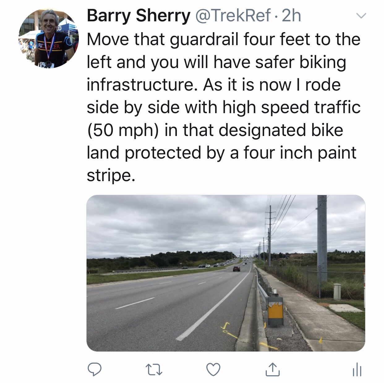
My ride home took me on St. Rte 50. Six lanes of traffic and a designated “bike lane” on either side.

And there you see it. Cyclists’ deaths are up this year. The NTSB says cyclists should wear helmets. And be more visible. But this is infrastructure. A guardrail protects pedestrians from out of control cyclists but cyclists get to ride side by side with traffic that is signed for 50 mph (actual speeds usually higher) and we are protected by a four-inch strip of paint. Bigger vehicles. Smartphones. Crappy infrastructure. We get a strip of paint. That is why cyclists’ deaths are up.


Hello Daytona

DAYTONA BEACH, FLORIDA

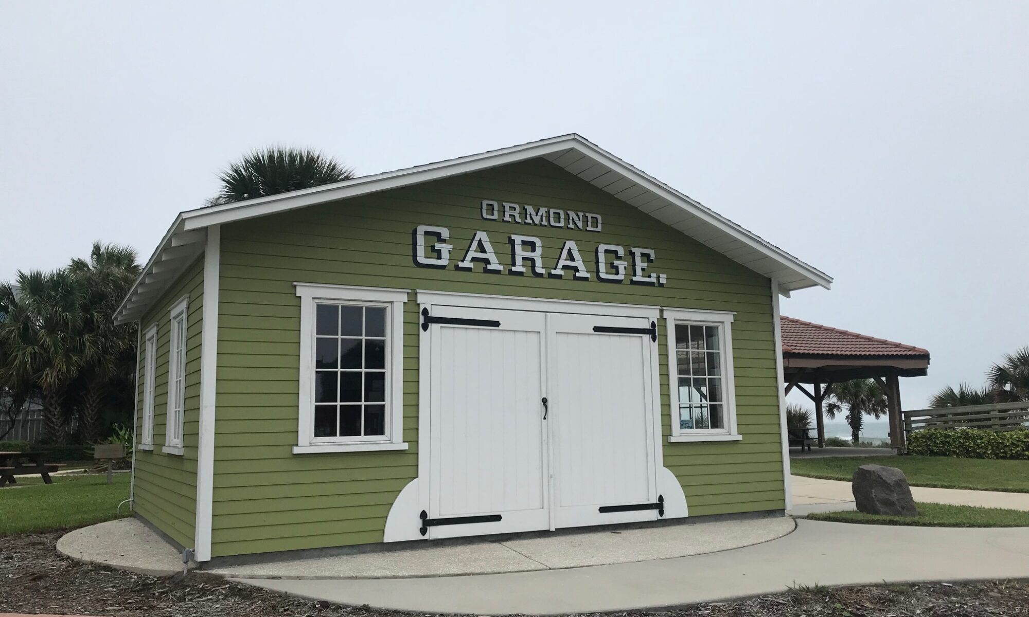
On my way to the Horrible Hundred in Clermont, I swung by Ormond Beach to ride to Daytona Beach. It wasn’t far but was just enough to stretch the legs.

Ormond Beach

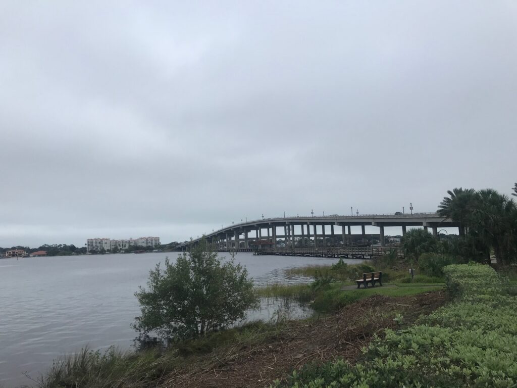
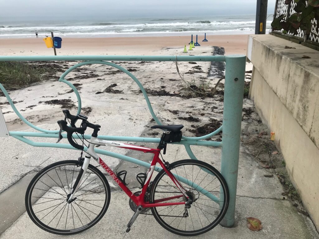
I parked in Ormond Beach and crossed the Intracoastal Waterway over to the thin strip of land next to the beach. Temperatures were in the high 50s and it was a gray day.

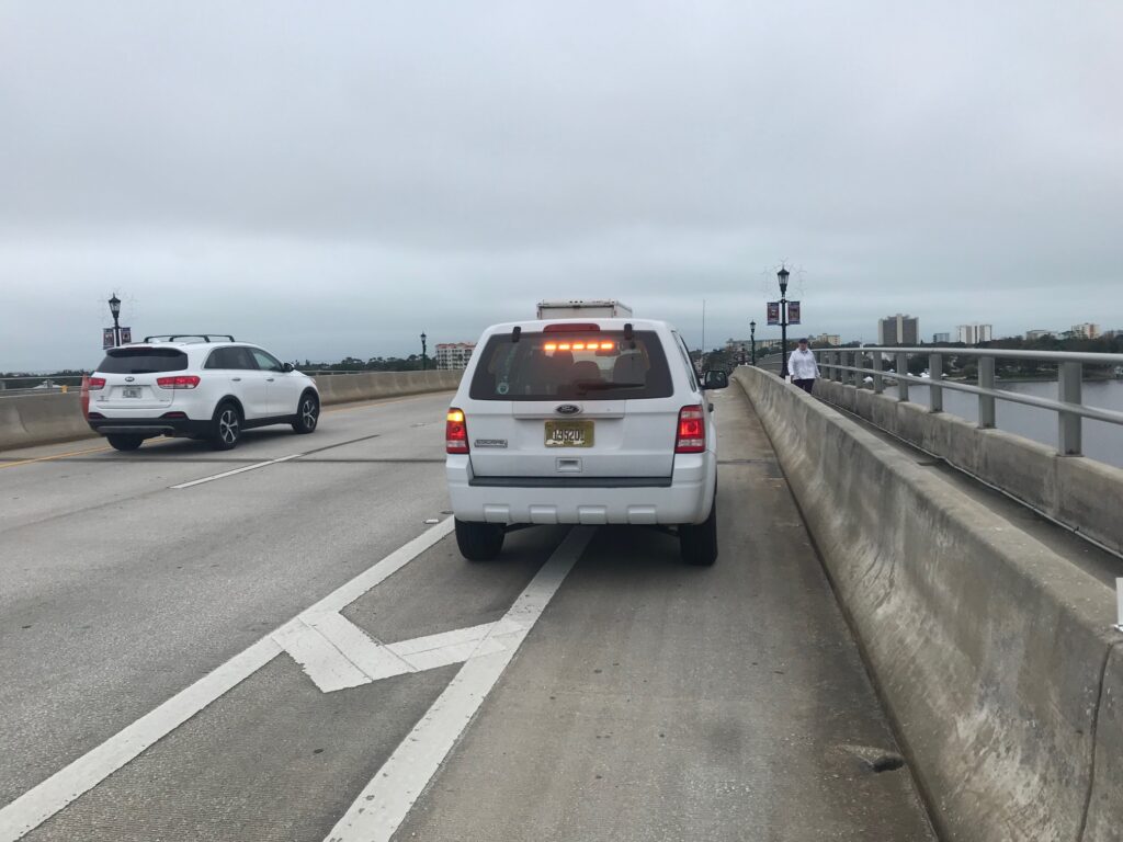
State vehicle using the bike lane to park on the bridge. Sigh.

But there is always something special about ocean air. It refreshes the lungs.

I checked out the oceanfront then crossed back over the Intracoastal and headed north back to my car.

Trek Pilot

I wanted a few more miles and crossed the Intracoastal one more time (and back again). Then drove on to Clermont.

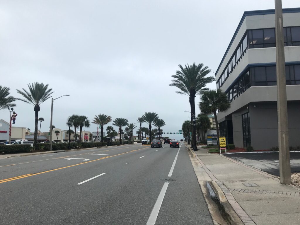
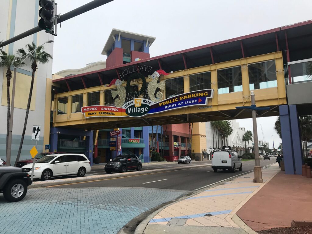
Daytona Beach

Home Roads RVA

ASHLAND, VIRGINIA

Professional cyclist, Ben King, and his wife, Jenna, hosted a ride to benefit Qubecca, the bike project of Dimension Data. At a little more than one hour door to door to Ashland, I was all set to arrive one hour early. Today I planned to arrive one hour early and not be rushed.

The ride was scheduled for 10:00 a.m. I left my house at 8:15 a.m. My rear (car) tire was very low and I went looking for a service station to add air. The first one I came to did not have an air pump. The second one did. It was a slow pump and cost $1.50. Now it was 8:25 a.m.

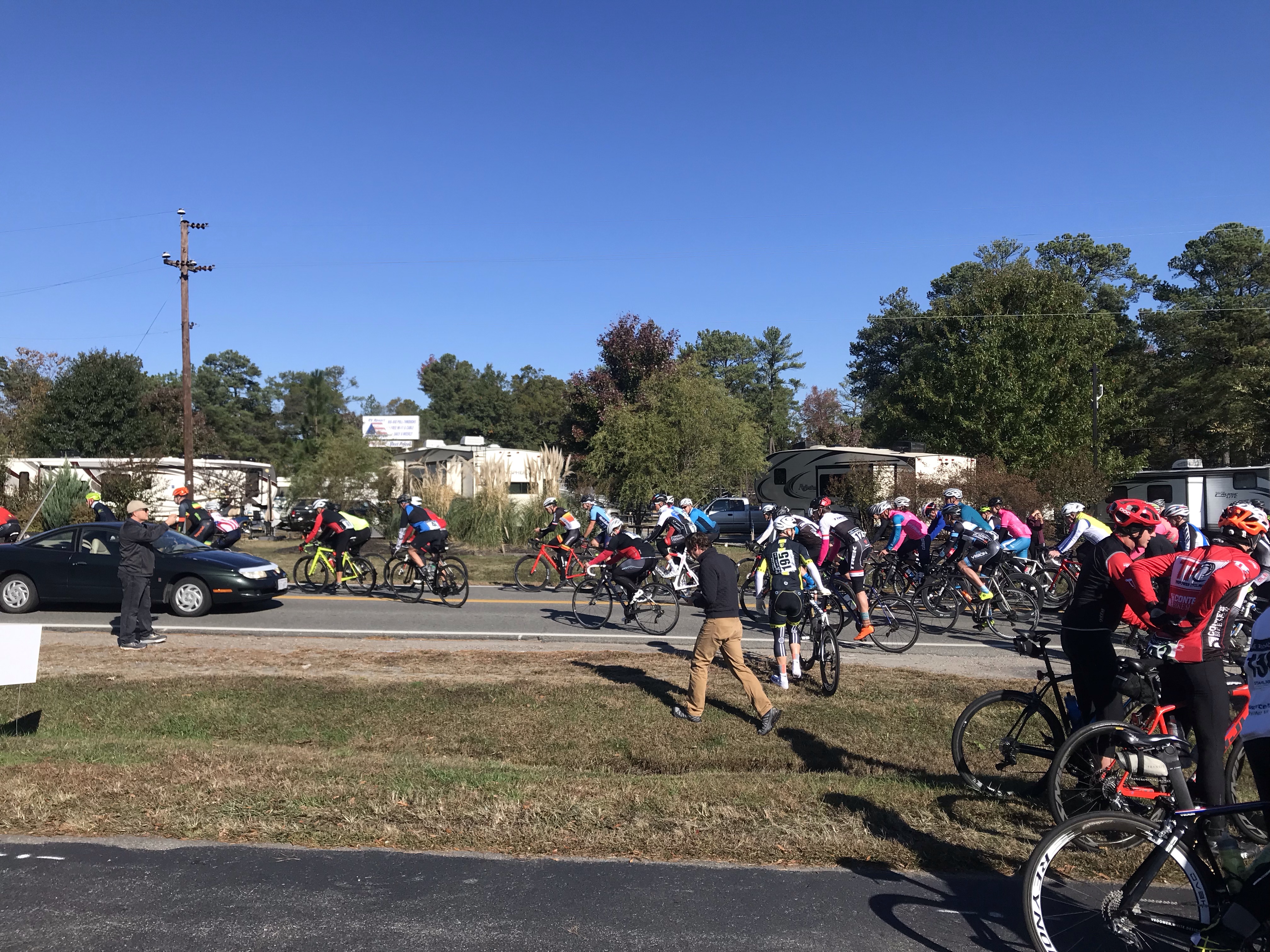
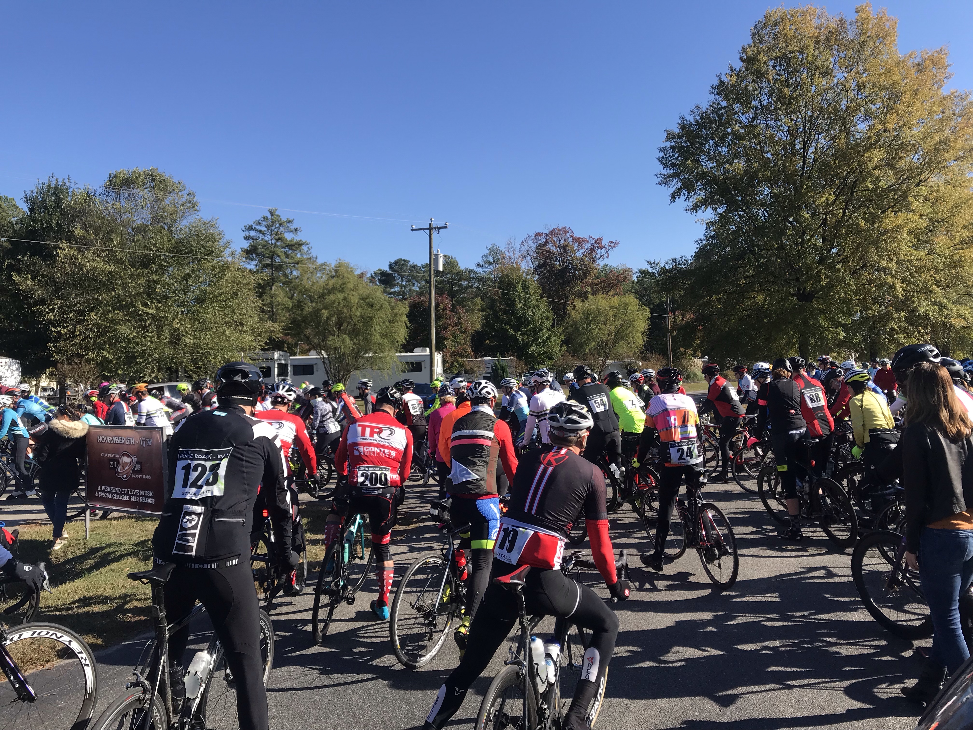
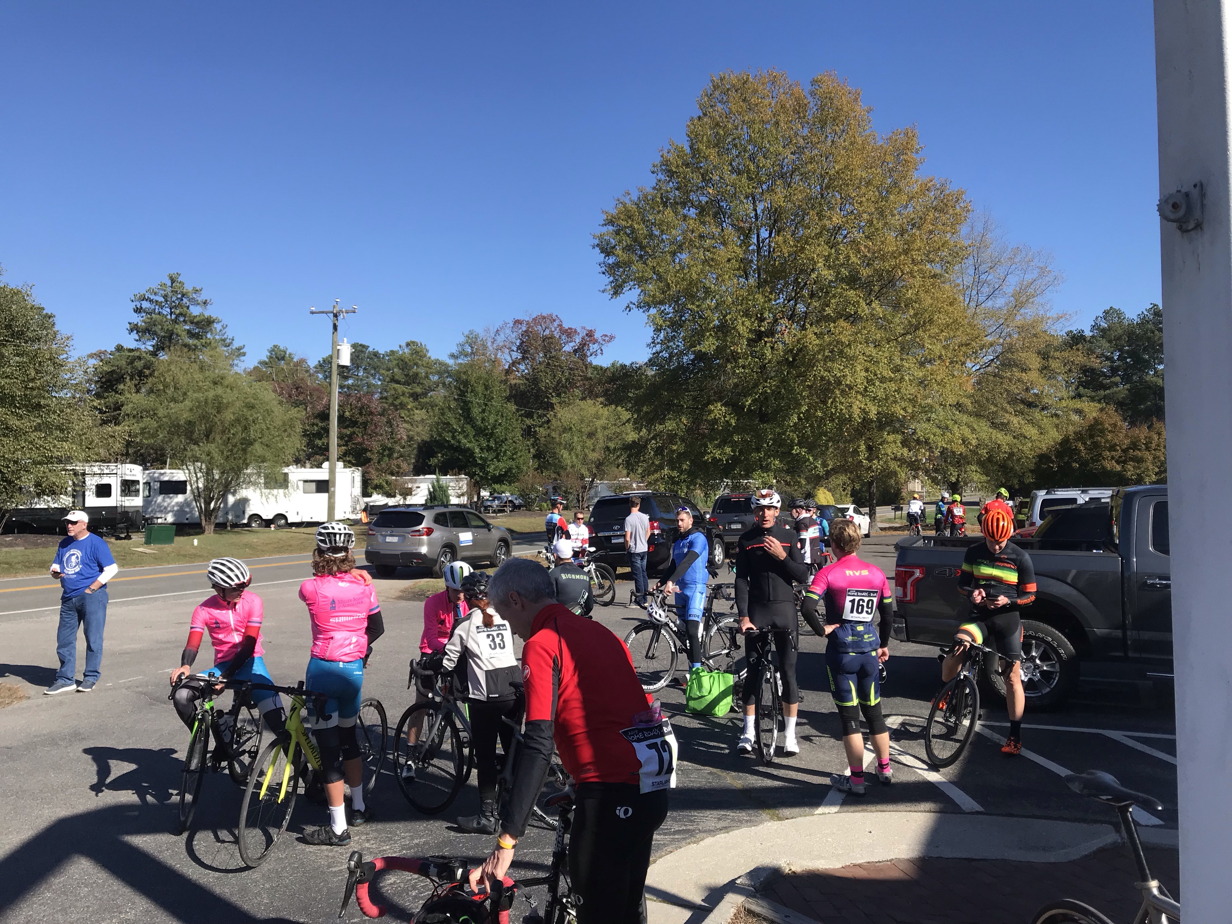
Roll out

I was on U.S Rte 1 and saw a McDonalds. I thought I’d get a Diet Coke in the drive-thru. Ultimately, that took 17 minutes and it was Diet Dr. Pepper. I dumped it out. It was 8:42 a.m.

I still had one hour to go on I-95. I stopped at the rest area near Ladysmith to change into my riding bib shorts. My ETA moved to 9:42 a.m. I arrived at 9:45 a.m. but there was no close-in parking. A policeman directed my 1/4 mile up the road.

Roll out – three minutes early

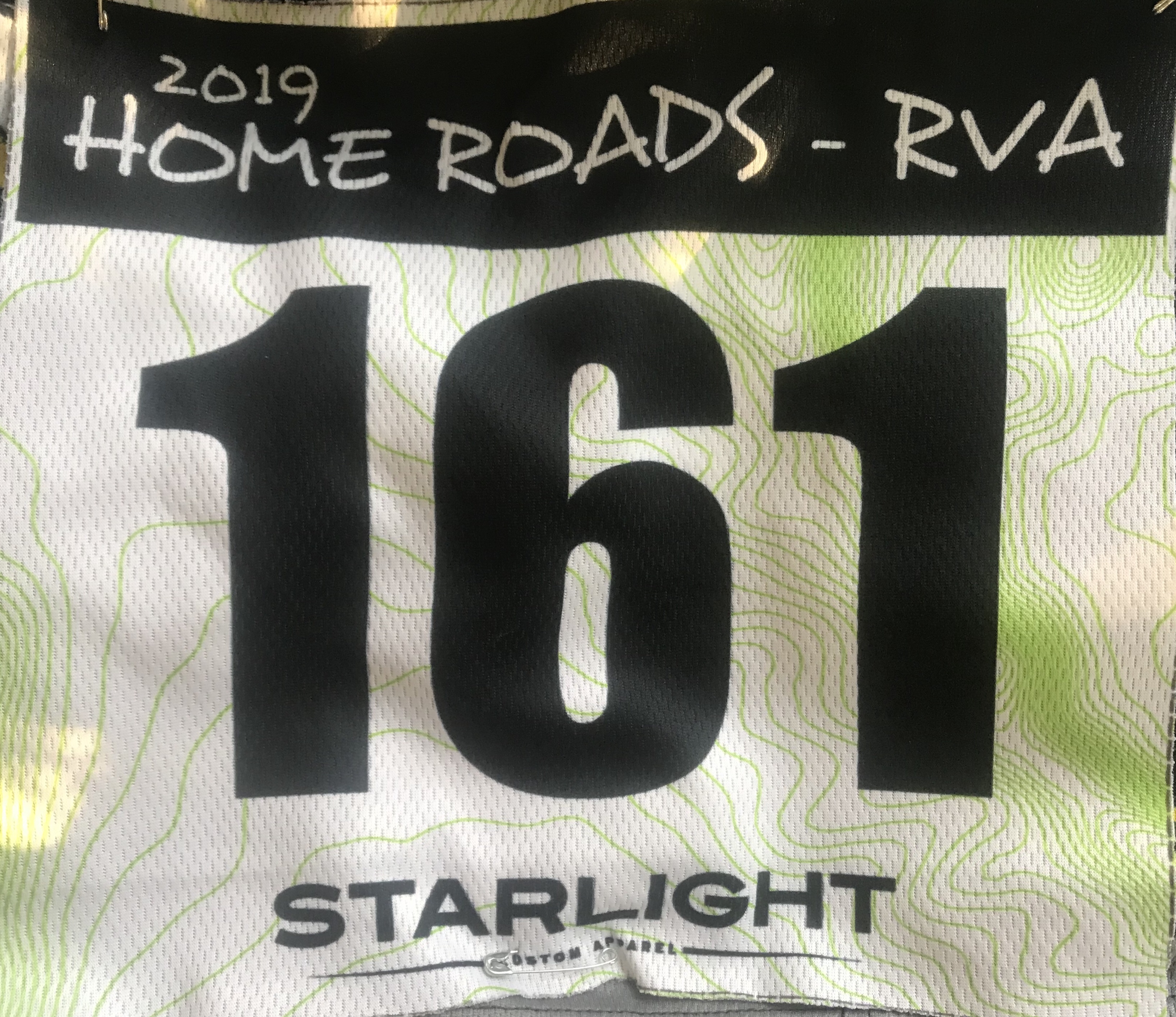
I got the bike down from the roof, changed my shirt to a jersey, grabbed a vest, and hustled to registration. It was 9:55 a.m. I was handed a bib to pin on and the ride took off. It was 9:57 a.m. I’ve never been to a ride that left early. I put the bib in my vest pocket.

There were two routes – a full metric (62 miles) and a shorter 48-mile route. My granddaughters came to visit this weekend so I thought I would take the shorter route. I rolled out at the start, dead last. Kept an easy pace and saw the split up ahead with the cool kids picking up the pace.

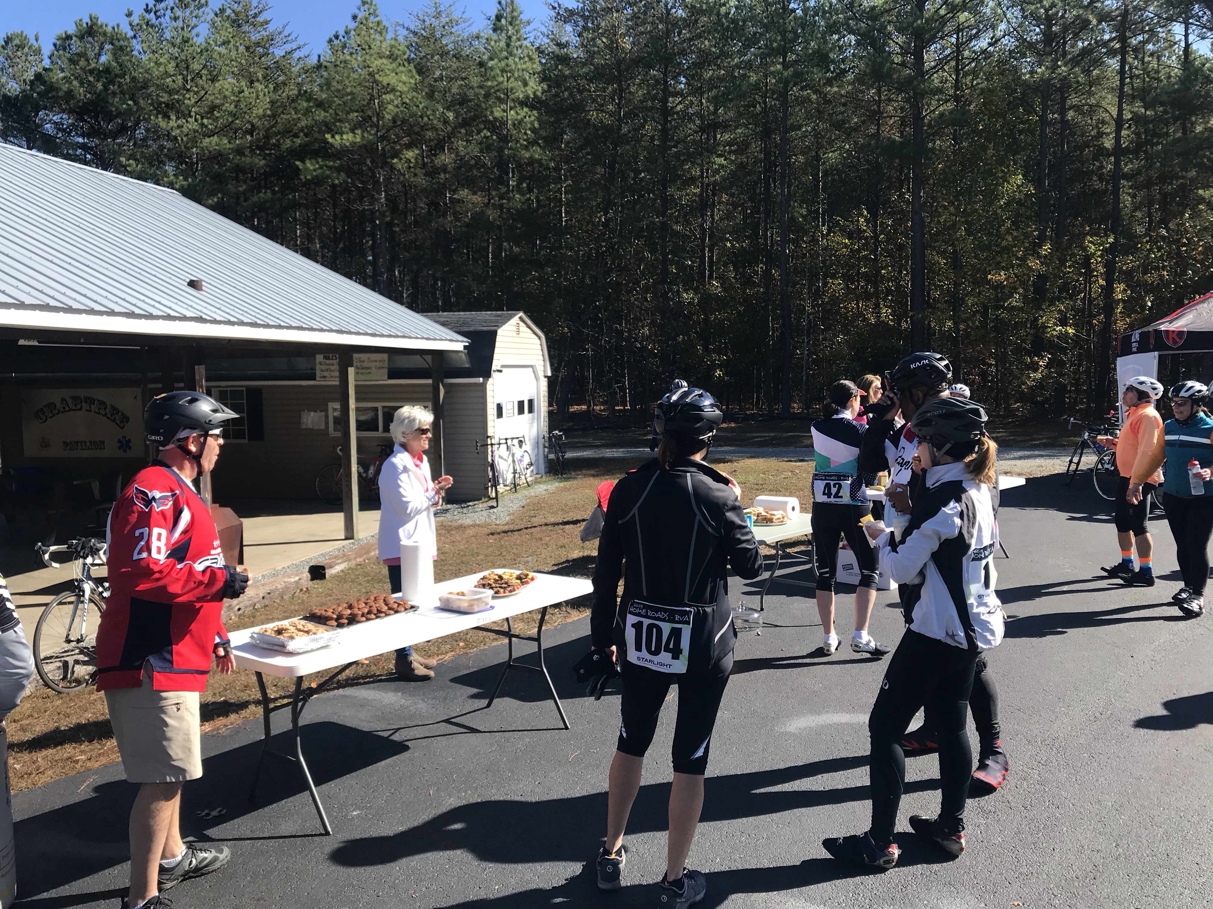
At the split of routes I went short. I passed a few people and arrived second at the rest stop. A number of riders I passed all showed up as I made sure to thank each of the volunteers. So about six of us left together, I was on the front. Eventually, a couple passed me but I stayed 50-150 yards behind them for the next 20 miles.

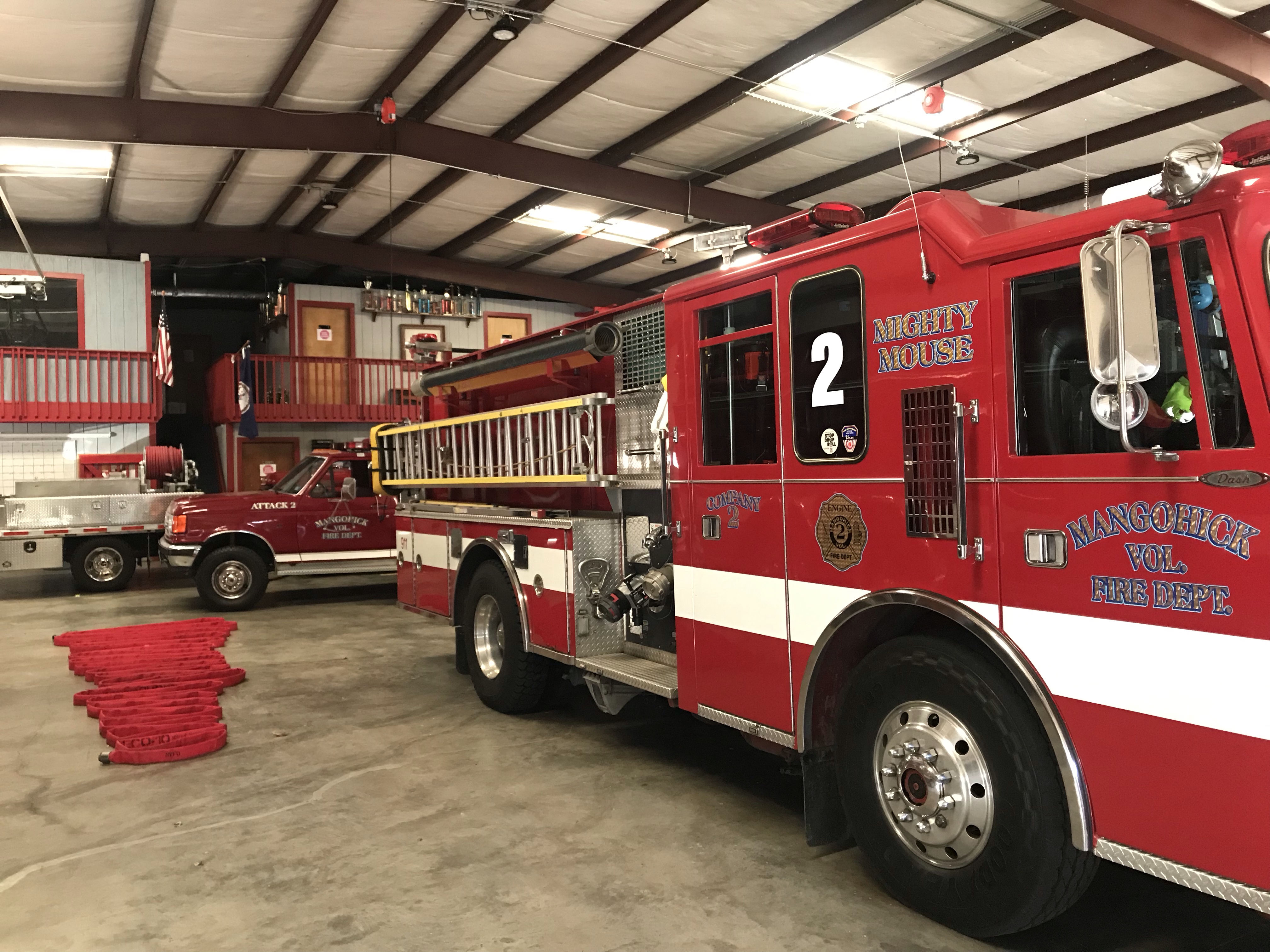
Restrooms were in the firehouse. Cool.

And then I passed them, catching and passing the only two riders ahead of me. I was having a good day.

Rest Stop

A car passed me followed by a motorbike who said, “keep right.” I was right and I thought it was a warning not to be all over the road. Instead, he should have said, “stay right, we’re passing.” But he probably didn’t have time. About 10 seconds later a small peloton of about 20 riders, led by Ben and Jeremiah Bishop, came flying by. Ben said, “keep up the good work.” They had caught me. They rode 15 (or more miles) farther and they passed me.

Oh well. I was only 2-3 minutes behind them arriving at the end. I saw Ben and Jeremiah briefly but went inside to pick up my ride swag which I did not have time to take to my car beforehand. When I came out they were gone. Maybe they just put their bikes away.

I had granddaughters at home. I was happy with my ride. I left.

The ride was a fun ride. It especially looked like it had a nice meal plus there were items to be auctioned for charity. I missed the social part as I rushed home. I don’t regret missing out but I hope Ben does this ride next year and I can bring some friends.


California Dreamin

EL SEGUNDO, CALIFORNIA

Having just returned from California from the Phil Gaimon Cookie Gran Fondo weekend, I need to revisit my planning – for next time, you know.

What went right – what went wrong.

All in all, it was a great trip.

Bike packed in Thule case

In 2019 I am celebrating my 10-year Cancversary and will ride 10 miles (at least) every day. That affected the flights that I could take. If I fly out early it has to be real early so I have time to ride when I arrive. Or I can ride in the morning and travel late – but that one isn’t for me.

Barry and Ernie Rodriguez

I left home by 4:30 a.m. for Washington-Dulles. I parked in the long-term Economy lot and was still at my gate by 5:43 a.m. – two hours before scheduled take-off.

In Terminal B is a Five Guys that served breakfast sandwiches. I had the bacon, egg, and cheese sandwich. And it was good.

The flight arrived LAX on-time. My only checked bag was my bike and despite the luggage arriving at Terminal 6, mine was an Oversized bag and arrived in Terminal 4 at the Oversize Baggage.

Building the bike at the hotel

I took the hotel shuttle to the Fairfield Inn and Suites – El Segundo. Arrived by noon. No room was ready but I built my bike in the pool area (only a few funny looks). I jumped on my bike and visited – In-N-Out Burger which was right next door. Then I rode west – towards the ocean.

El Segundo at the beach
Bike path El Segundo

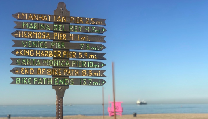
I had texted Robert Hess and he offered to pick me up at the hotel for a ride. I told him I already found the bike path and could ride to meet him. That was better. We met close to Manhattan Beach then rode north towards (but not to) Venice Beach. We found a straight section used for KOMs and both went moderately fast.

Manhattan Beach
Bike Path in Hermosa Beach
Robert and Barry

RIGHT: By taking the hotel shuttle from the airport I avoided one day of car rental charges.

RIGHT: By renting in El Segundo, I avoided the LAX fees on rental cars. In addition, a much higher rate.

I drove to Thousand Oaks where I stayed at the TownePlace Suites by Marriott. I was going to stay at the official hotel of the Fondo, the Hyatt, but the rooms were $60/night more.

TownePlace Suites by Marriott, Thousand Oaks. The pool wasn’t so nice.

I was 10 miles from the venue on Saturday and decided to ride there instead of drive. That also made my decision to choose the 40-mile ride over the 50-mile ride.
The official Cookiemobile

One problem was I was riding directly into a low sun on Thousand Oaks Blvd. Even with two rear lights, I was worried about the traffic seeing me.

The hotel was only about 15 miles from Sunday’s venue so I could not complain. Plus it was very close to an In-N-Out Burger and a Chili’s.

I was initially going to ride in Santa Barbara on Monday but decided to ride again in Manhattan Beach. I did not explore the southern end of the trail before and I could save a day’s rental charge.

RIGHT: By getting the car back before 11 a.m. I would have three days’ rental and not four.

Wildfire on the 101

One problem was there were wildfires including one I went by one Hwy 101. Waze found a better way but that meant hundreds of drivers all used the same side streets. I got in a little late but within tolerance.

Wildfire on the 101

Once packed, their driver took me back over to the Fairfield Suites where I boarded the Fairfield airport shuttle, the one that dropped me there four days earlier. I don’t know if this was cool or not but when I checked out on Friday I asked Scott Trexler at the hotel and he said it would be no problem. Of course, he wasn’t working when I returned.

Near Manhattan Beach

I rode south to Redondo Beach then one last time to In-N-Out Burger. I went back to the car rental location where I had left my luggage. I think they were more bemused than annoyed that I tore down the bike in their office and packed it in the case.

At the airport, I found a restaurant and watched the Steelers-Dolphins on Monday Night Football (Steelers won 27-14). About one hour later I boarded the redeye flight to Dulles.

Watching the Steelers at LAX

Arriving Dulles, I had to figure out where my bike would arrive. It came in on the Oversize Baggage belt. It has come down the regular belt before (ugh) so I have to figure out by airport where it will arrive.

I went back to my car in the Economy lot then to Chick-Fil-A, Ashburn, for breakfast before getting the Trek Pilot out for a ride on the W&OD. I had packed the Domane for California but also brought the Pilot and left it in the car. It was on its side covered by a blanket in the car. Then when arriving back, rather than trying to rebuild my Domane, I could just jump on the Pilot and ride.
After riding and dropping the Domane at the bike shop (broken front derailleur), I found myself fighting drowsiness on the 30-mile trip home. That redeye took it out of me but was necessary if I was to ride today. The other option on American was 10:30 a.m. arriving at 6:30 p.m. It would be hard to ride in the morning, tear down the bike, and get to the airport on time. And it arrived too late for an evening ride.
I am comfortable with almost all the decisions I made for this trip. I like the hotel shuttle and the first night near the airport. It worked out renting off-site. And getting back to the hotel. Keep this in mind if I do this one again.

Cap to Cap

RICHMOND, VIRGINIA

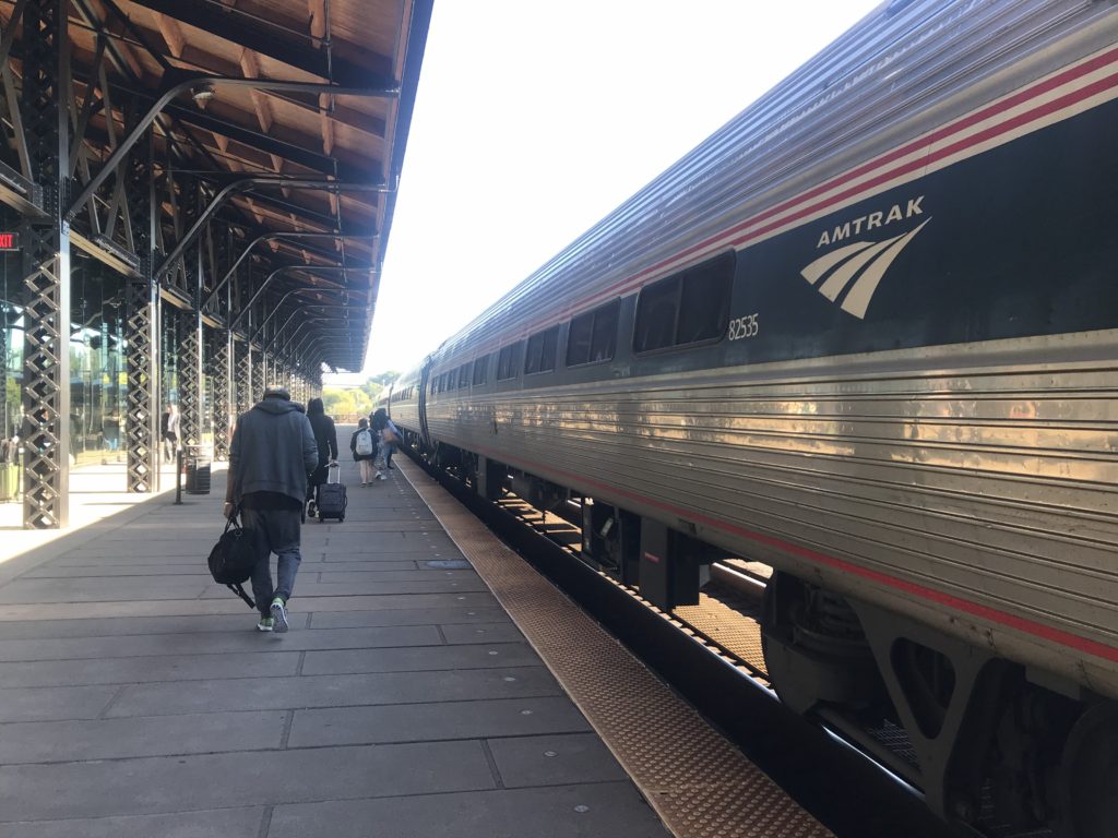
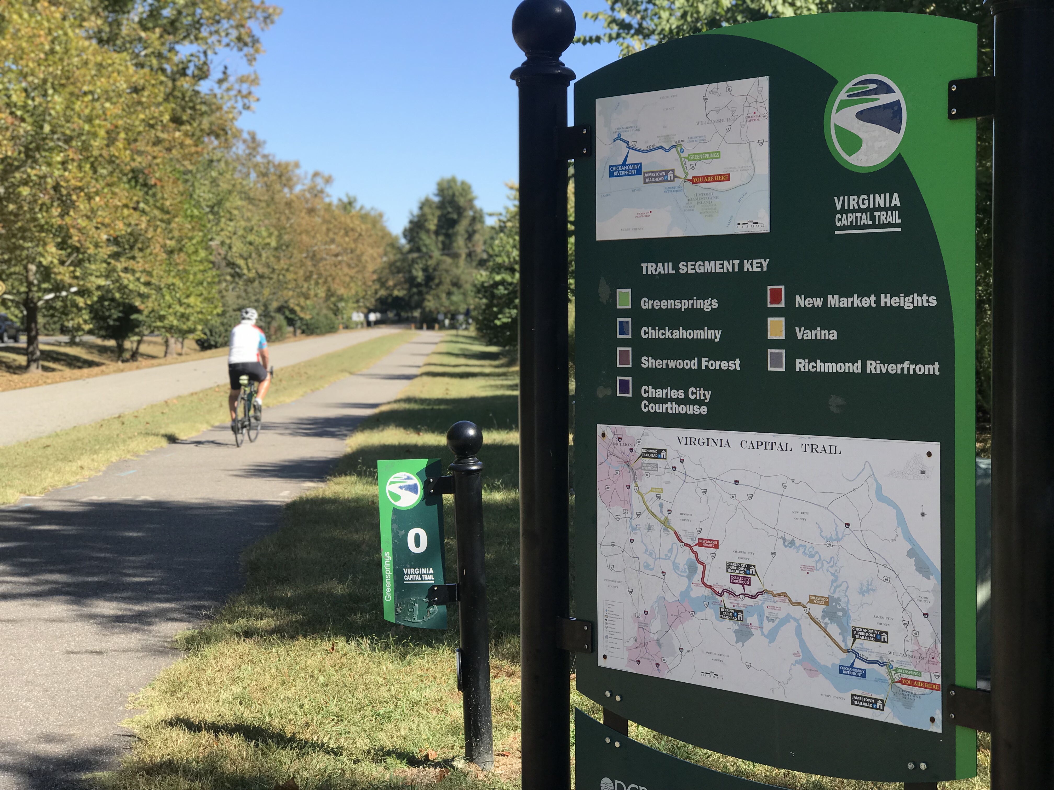
The goal: Park in Richmond, take a train to Williamsburg and ride back on the Virginia Capital Trail.

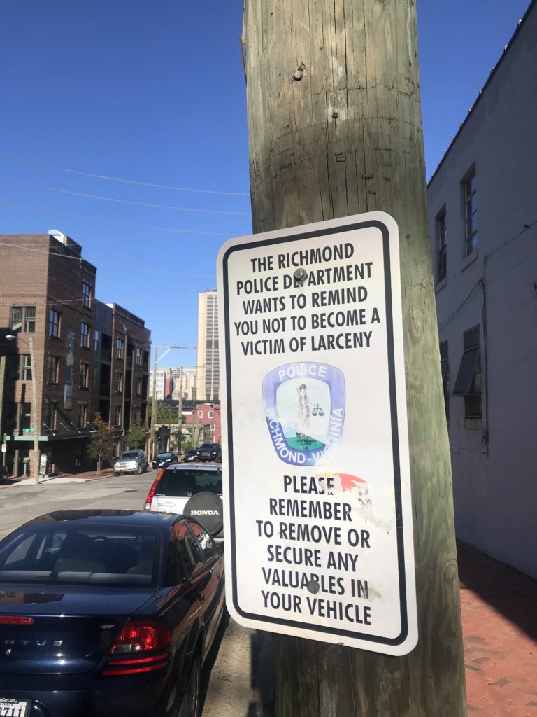
I was thinking Union Station in D.C. with its six-level parking garage. In Richmond, I found nothing other than a mostly vacant lot near the train station which needed a parking app. I drove a few blocks away and found on-street parking. After all, I was riding a bike today so it really didn’t matter how far away I parked.

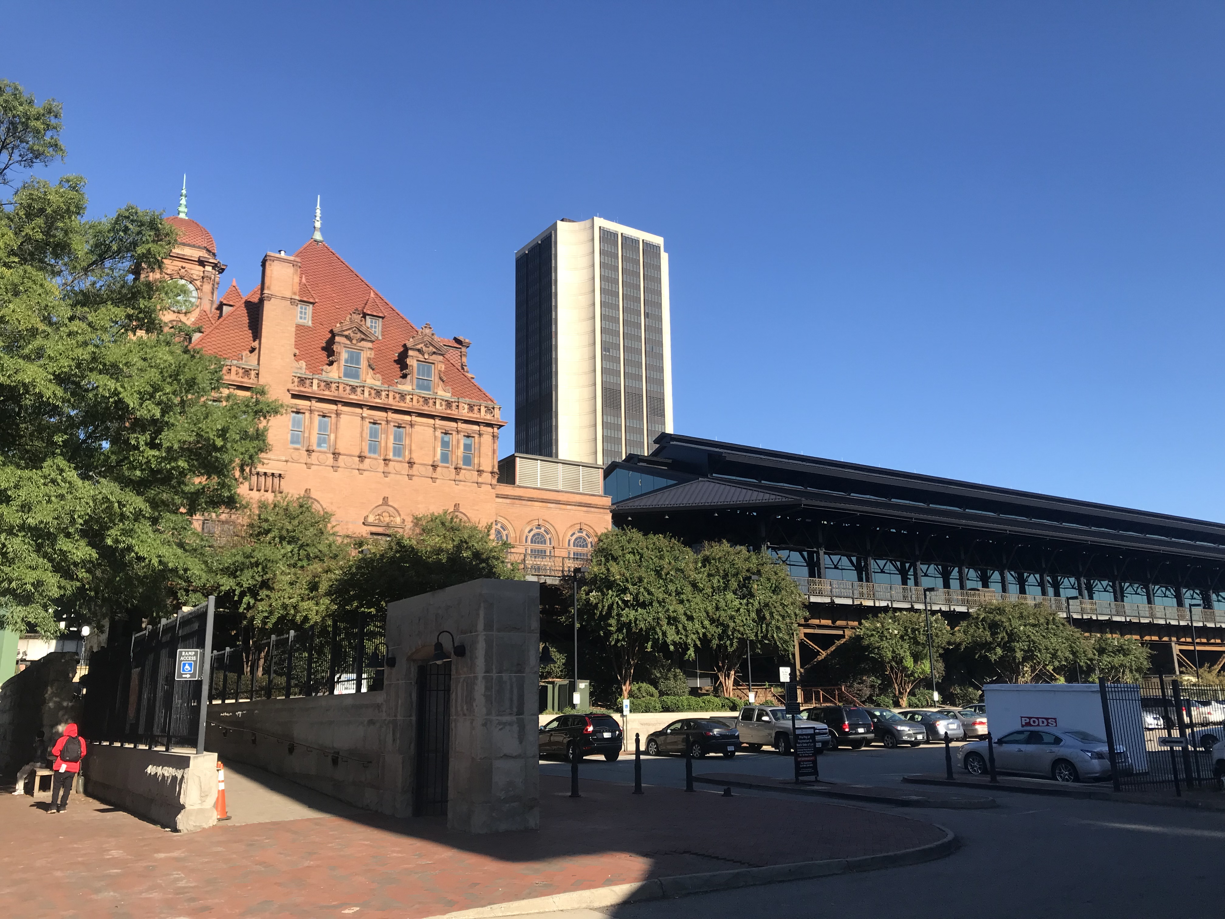
Richmond Main Train Station

The area where I parked seemed a little sketchy. Next time: I will park at the trailhead at the bottom of Pear St. then bike to the station.

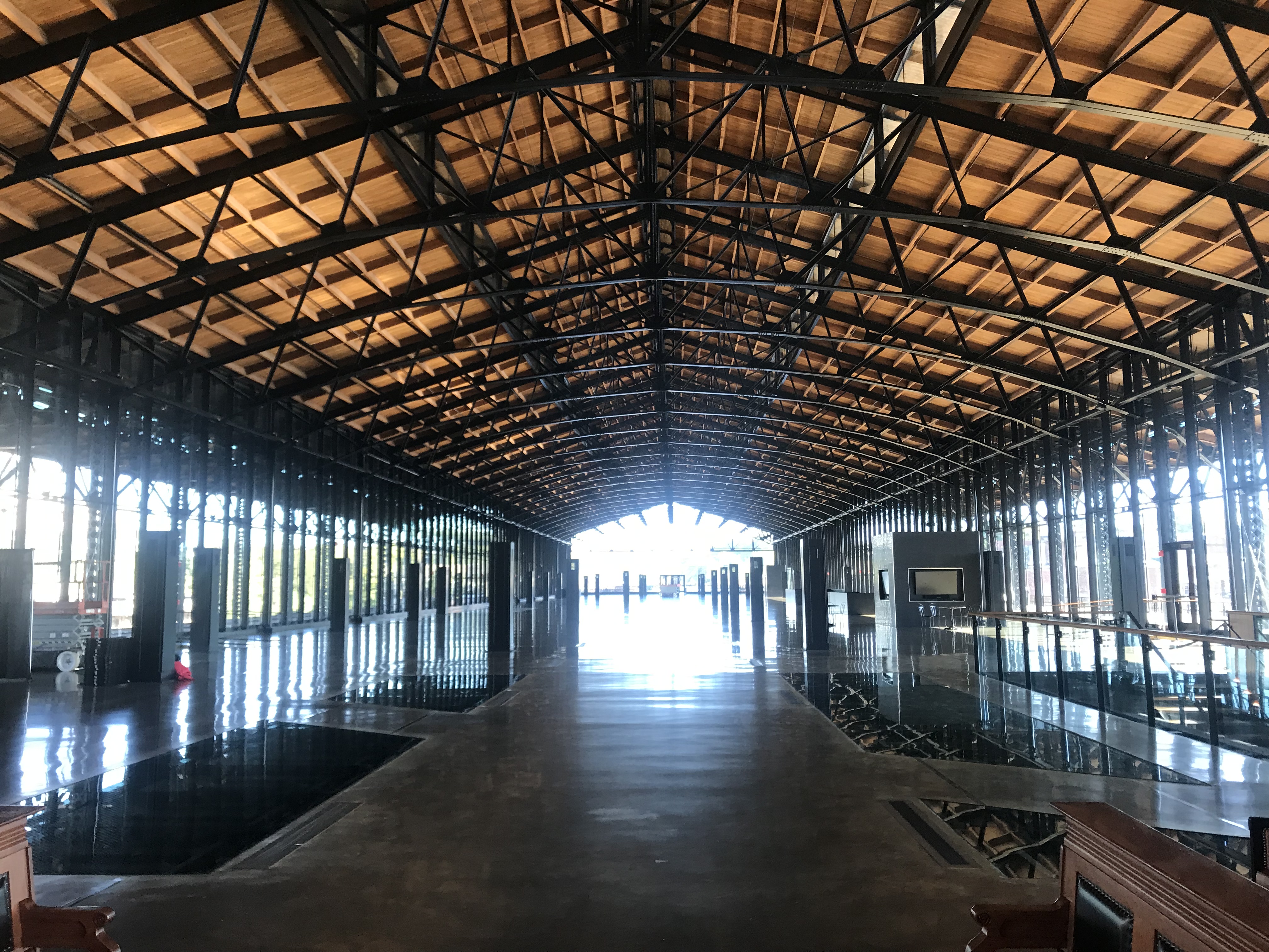
Inside Richmond station

Like so many U.S. train stations, the Richmond Main Station is a treasure. What a beautiful building. It was, however, lacking in signage. I had no idea which track my train was arriving on or how late it would be. It was scheduled at 10:03 a.m. but had not arrived by then.

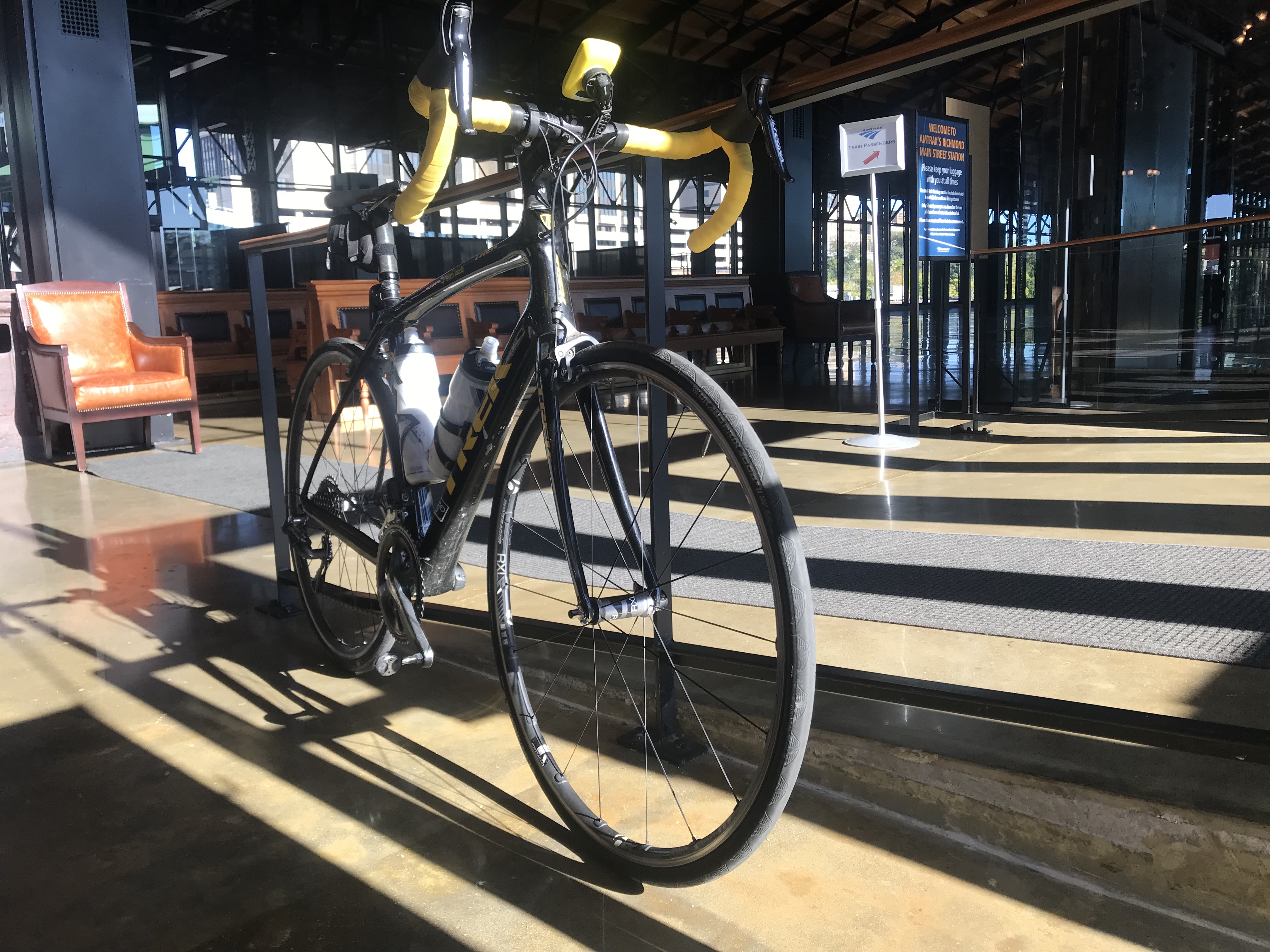
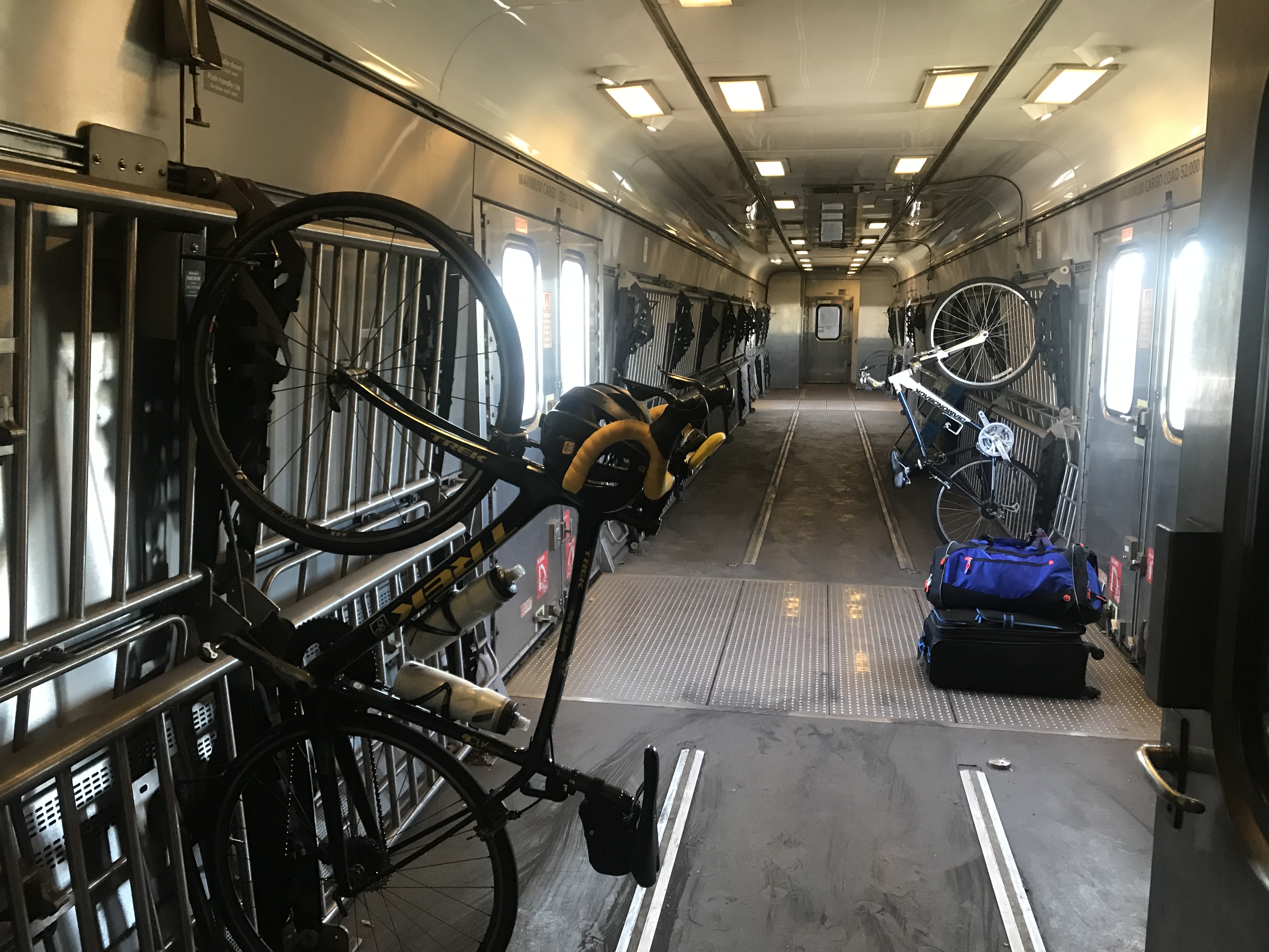
I had made a bike reservation so someone should have known that I was boarding with a bike. The baggage car was at the front of the train. There was one boarding area, in the middle, where the conductor checked our tickets.

Richmond Main

I had to enter the middle of the train. When I asked the conductor where I should put my bike he said “anywhere.” I was expecting two hooks per car but found none. One we got rolling he walked it through two cars to the baggage car and hung it on a hook.

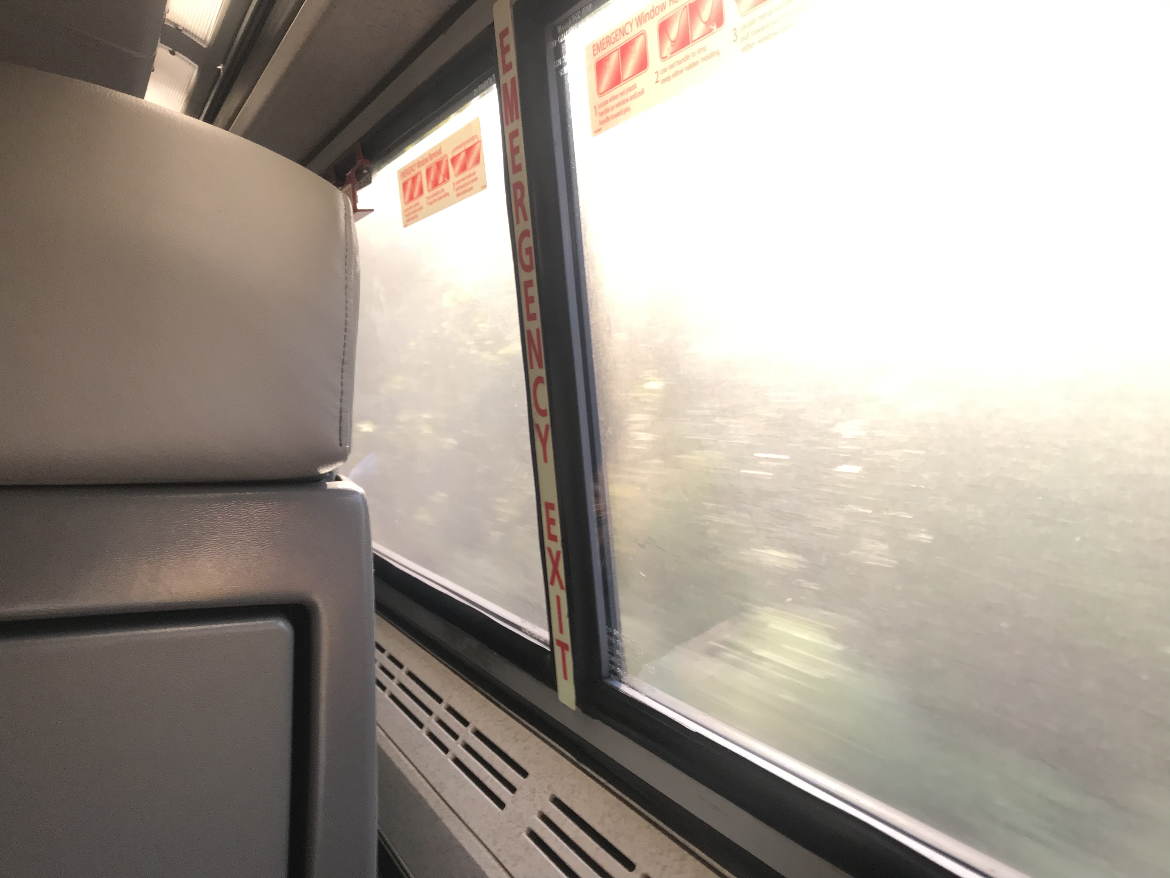
The train ride could have been enjoyable The windows were filthy dirty and it seemed the engineer loved blowing that train whistle. Seems to me that there should be better ways in 2019 to warn people of an oncoming train rather than a whistle. I’m not sure I ever heard a train in Switzerland use one.

Dirty windows

With the glare of the sun hitting those windows, it was hard to see any scenery. But mostly it was a forested area from Richmond to Williamsburg.

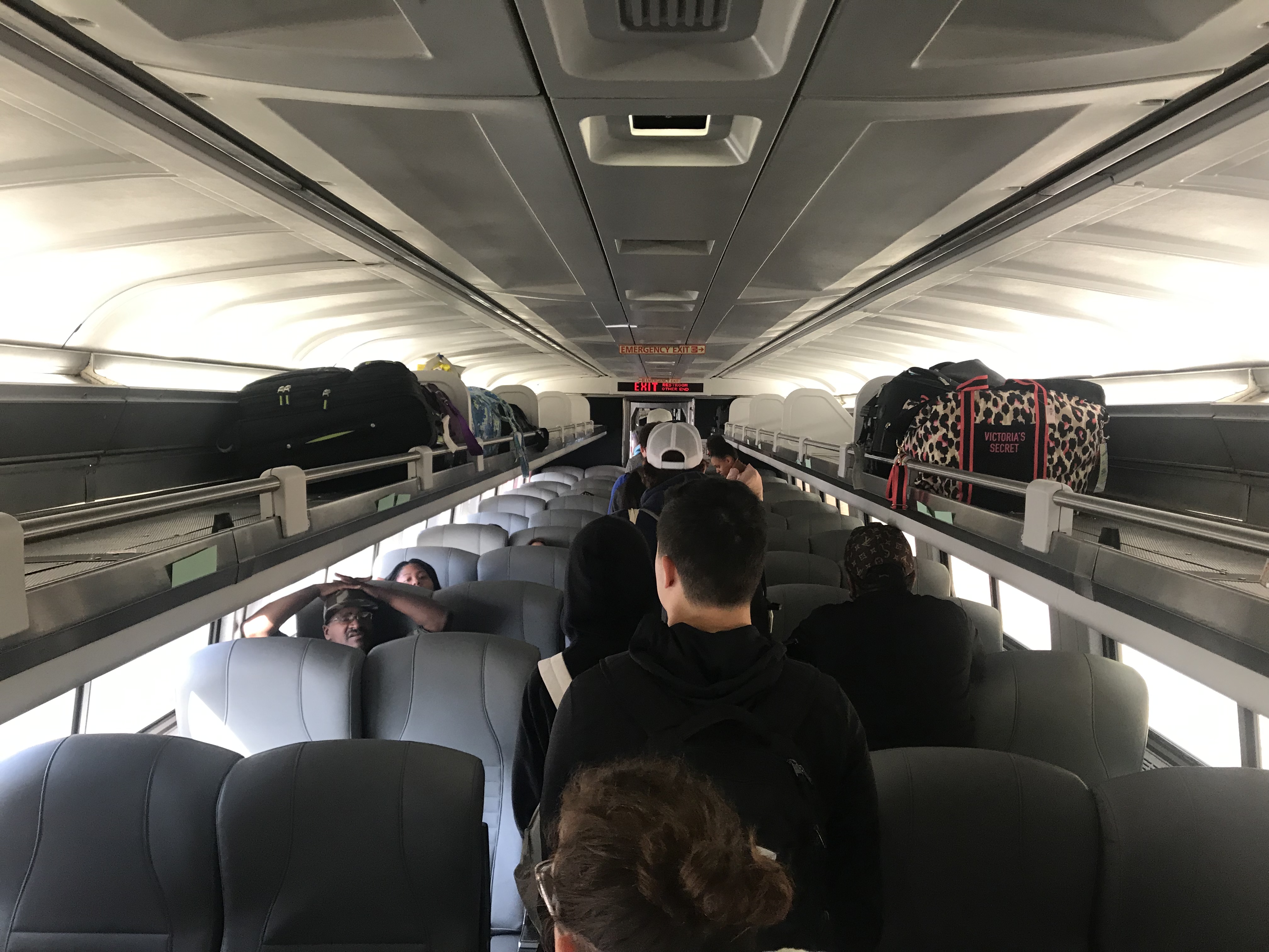
The seats were much better than the last time I rode a train. Only the constant whistle kept it from being truly enjoyable.

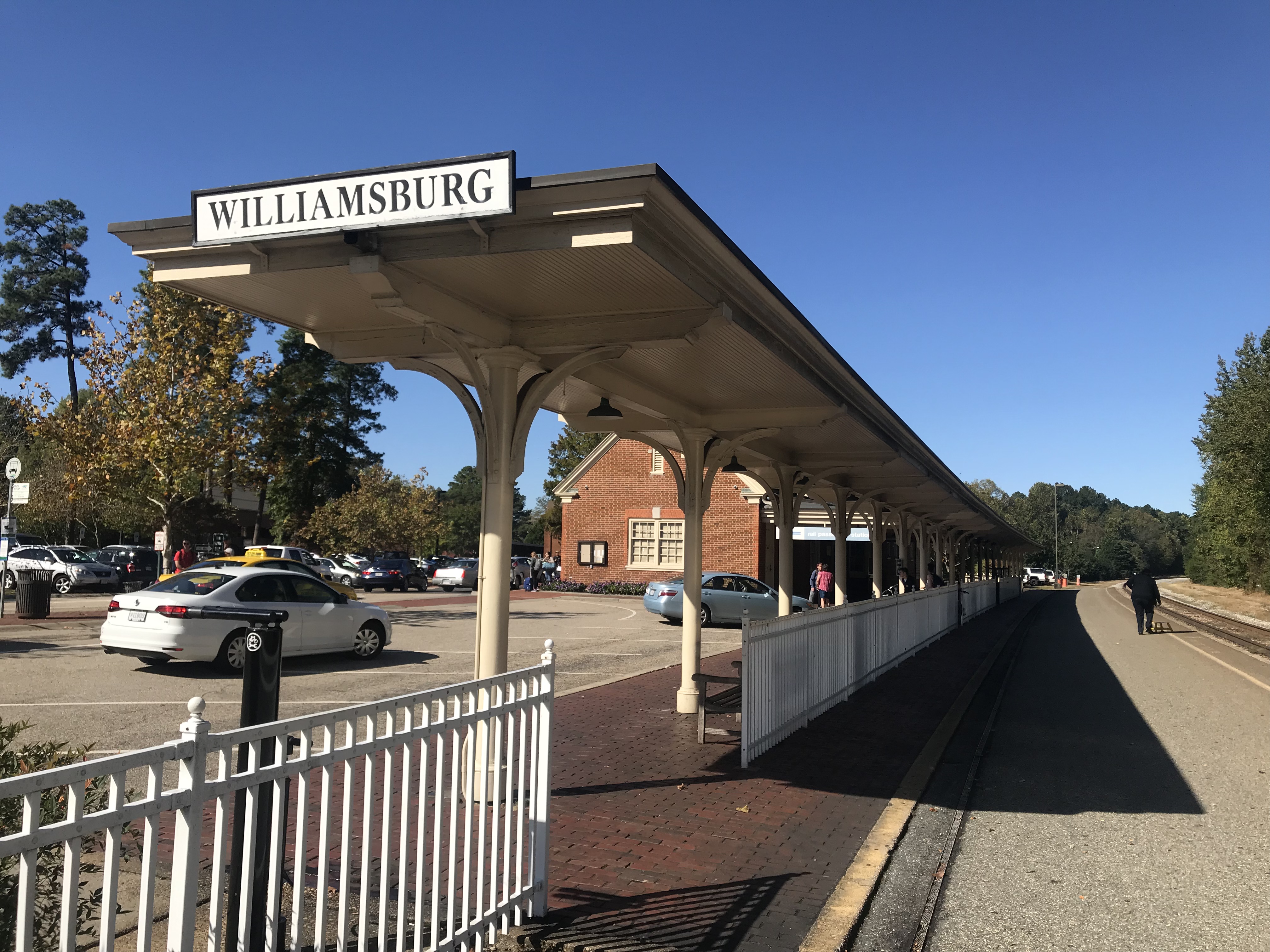
At the Williamsburg station, I had to exit from the middle of the train then walk back up to the front to pick up my bike. Seems the two cyclists would have been better served to exit with their bikes.

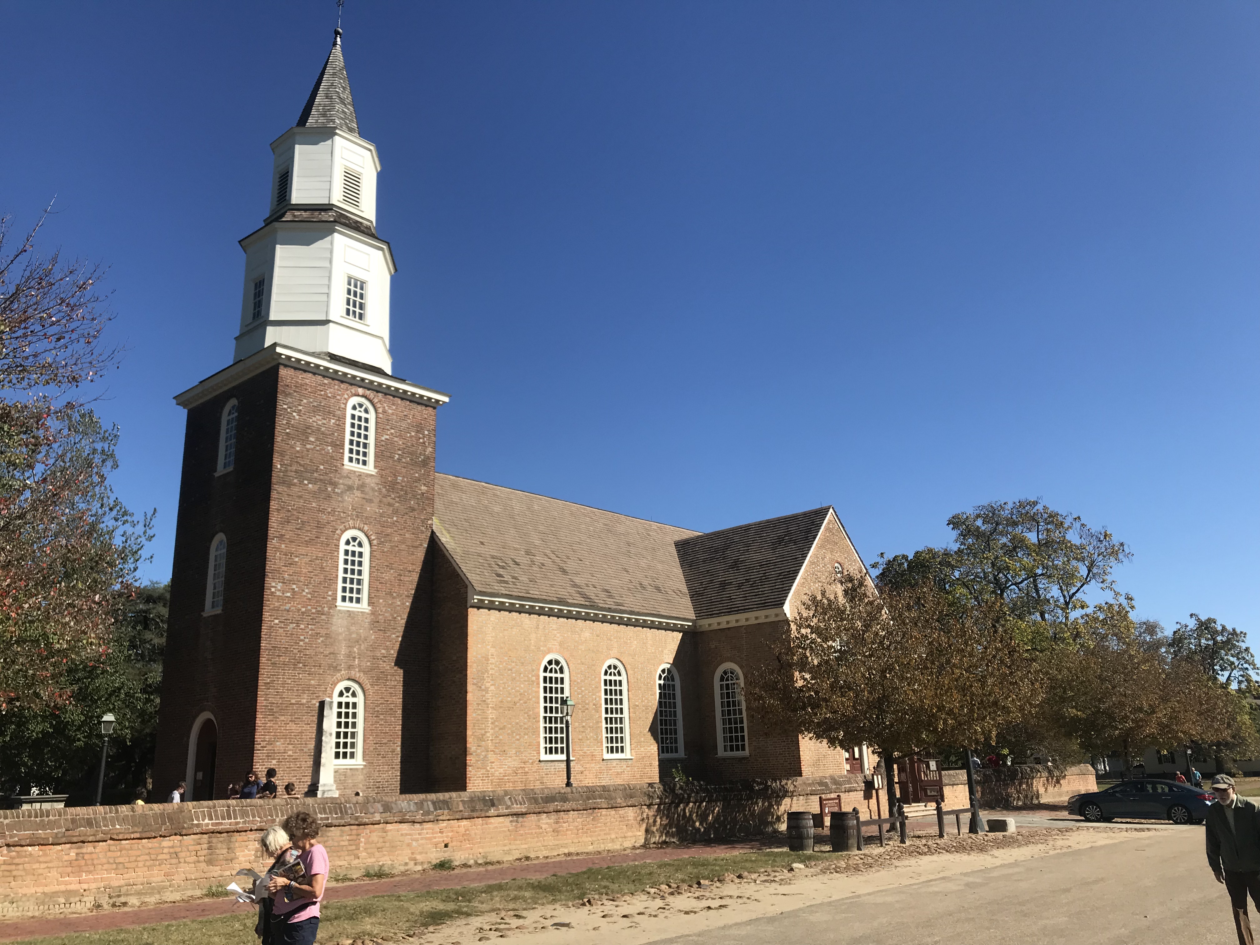
Colonial Williamsburg

I had no clue where I was but then – I was in Colonial Williamsburg. I rode the traffic-free streets for a few minutes then found Rte. 5 towards Jamestown.

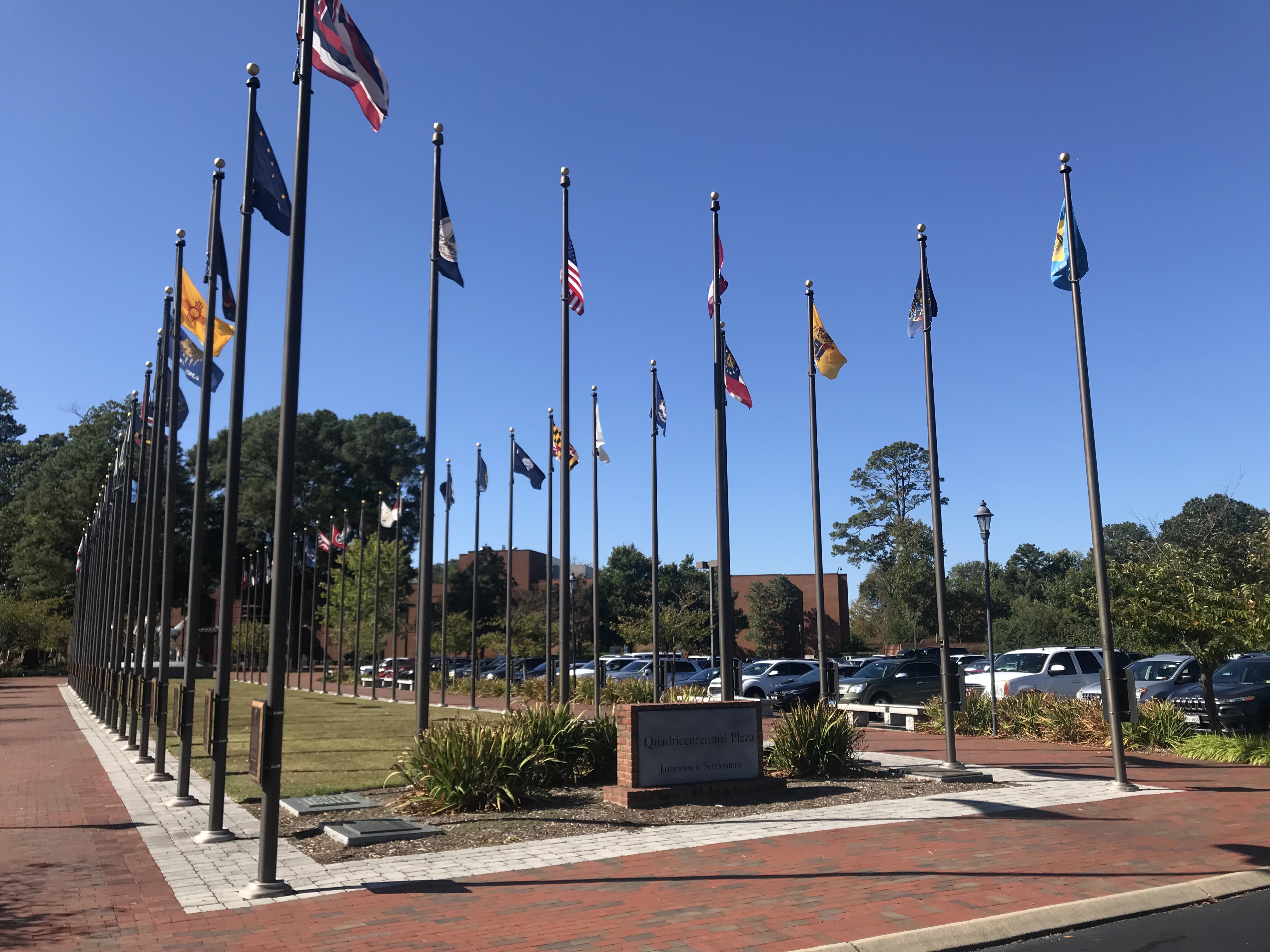
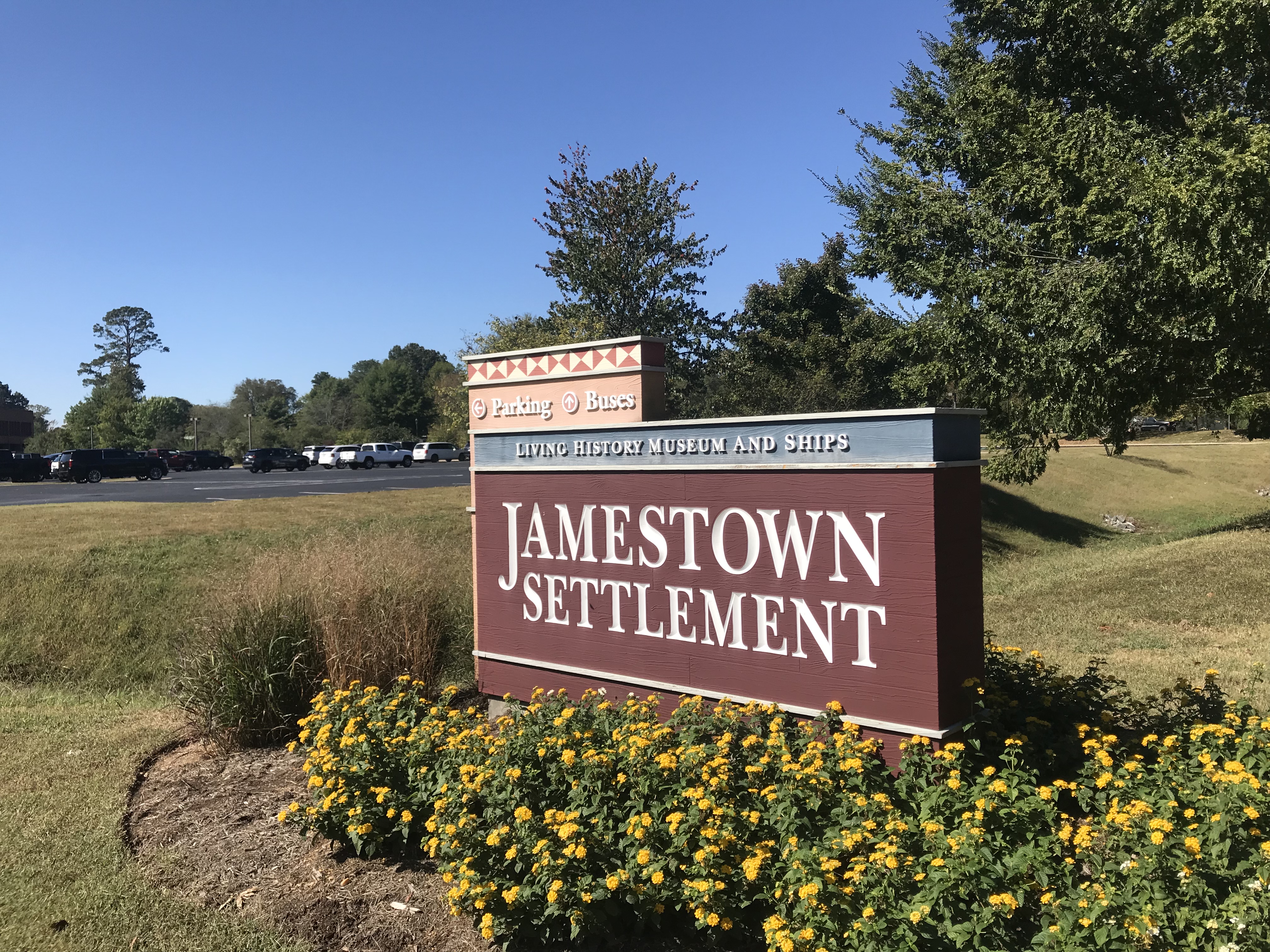
Arriving at Jamestown Settlement, I met Terry Moran. We would ride together the first 13 miles of the Virginia Capital Trail before he would turn around and go back to his Williamsburg home.

Terry Moran

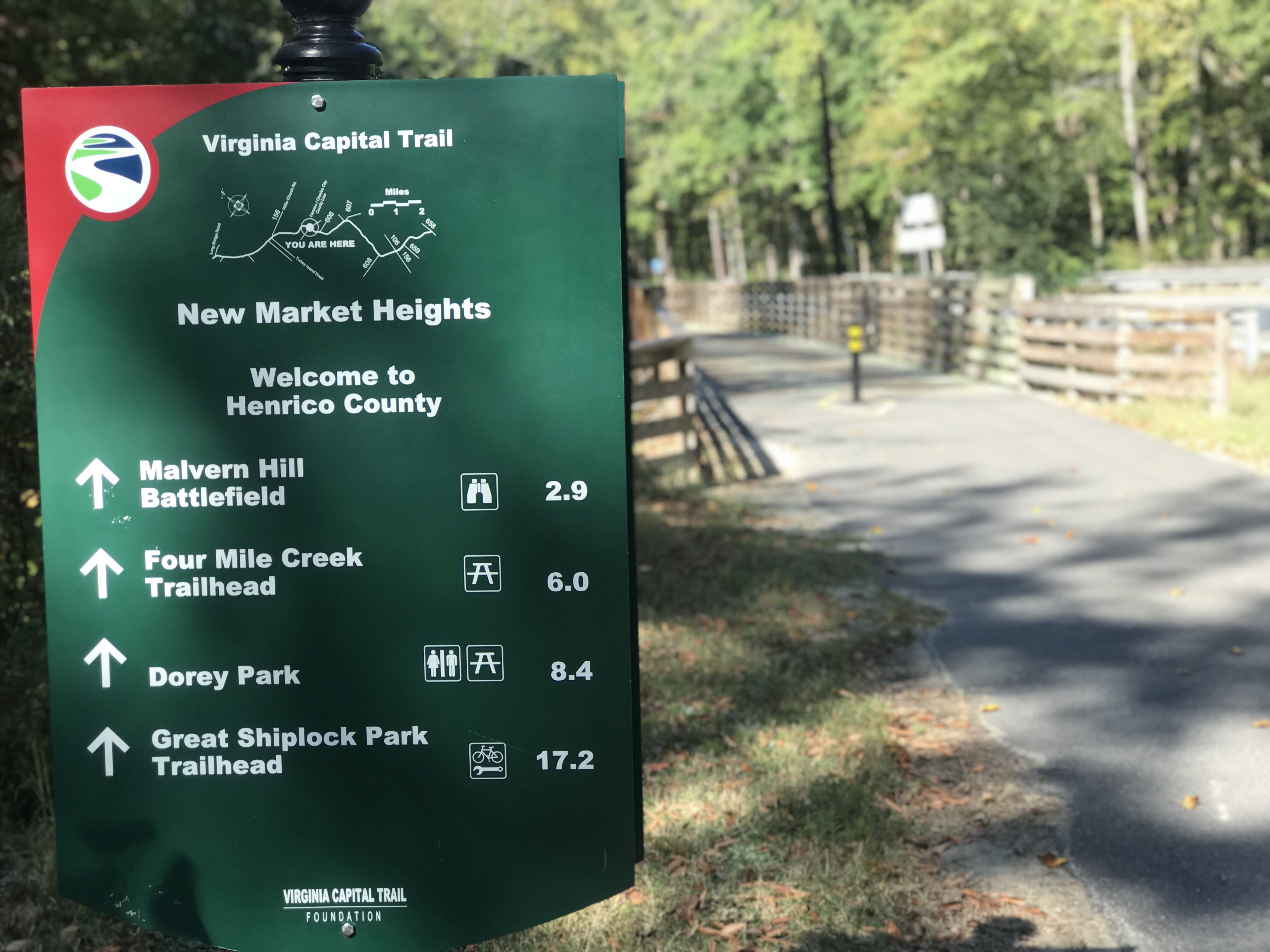
The trail begins here and is a 51-mile bike trail from Richmond to Jamestown. It is 98% trail with two small portions at Charles City diverted to the street as well as one section of about 1/4 mile near Richmond.

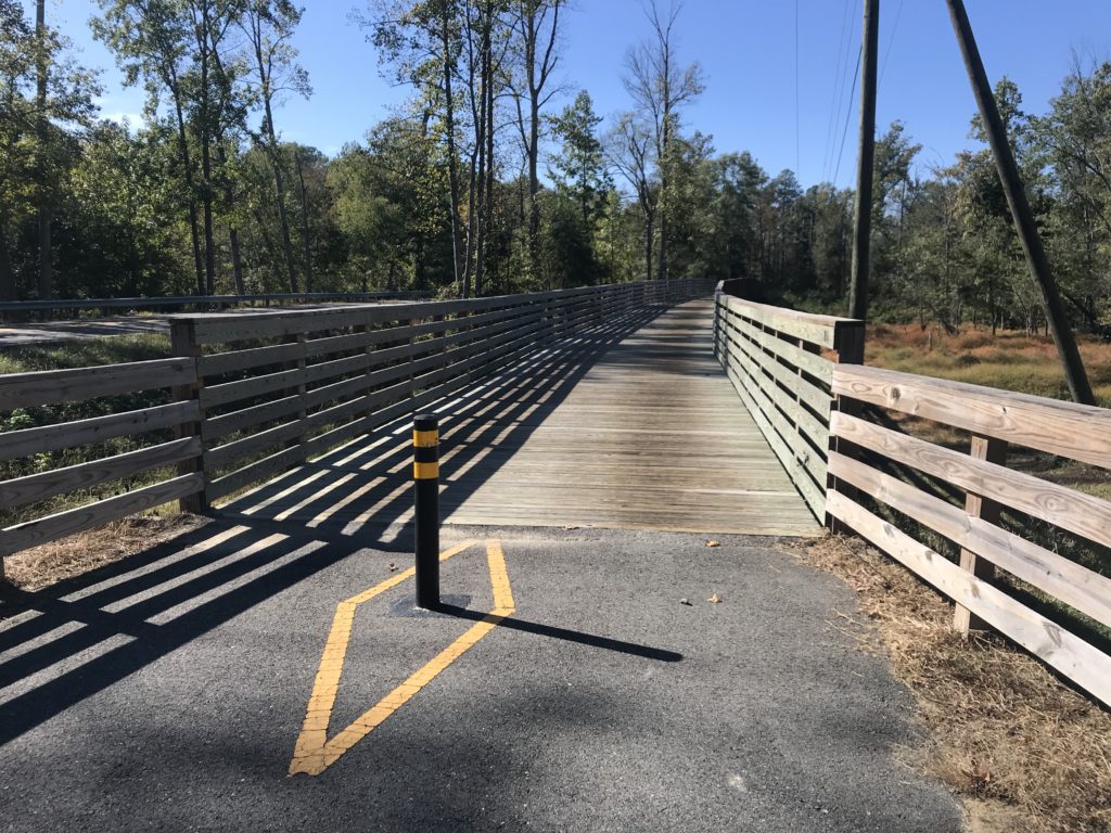
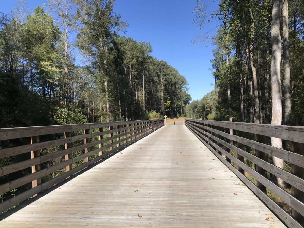
If you love wooden boardwalks this is the trail for you. Every mile it seems you cross one of the bridges. All are in great shape now but wonder if they will hold up in 10-15 years. But enjoy them now. They are great!

Terry rides into the distance

The eastern section is pancake flat. It is situated in the Middle Peninsula section. It is wooded with its share of wooden bridges as it follows Rte 5.

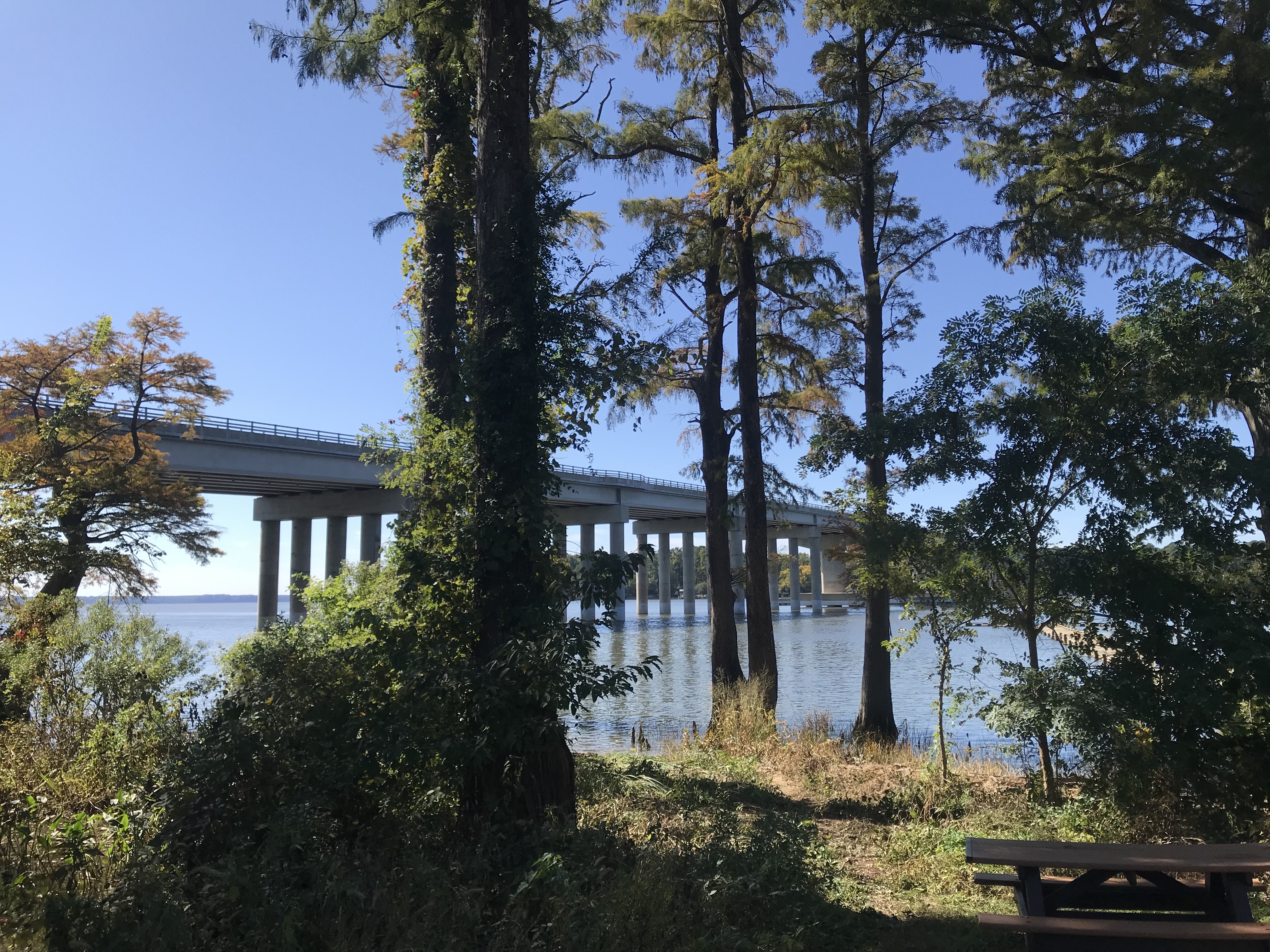
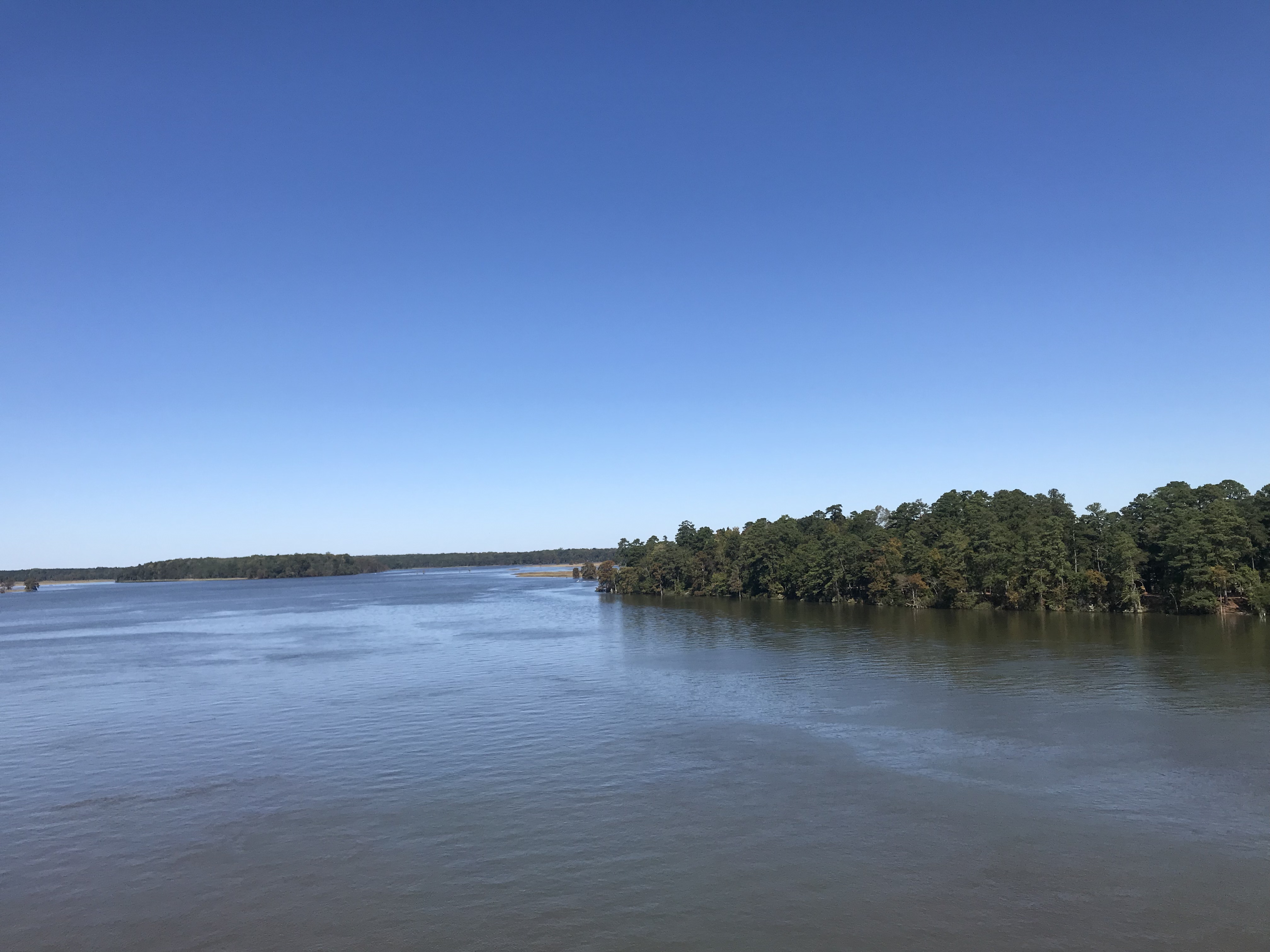
Chickahominy River

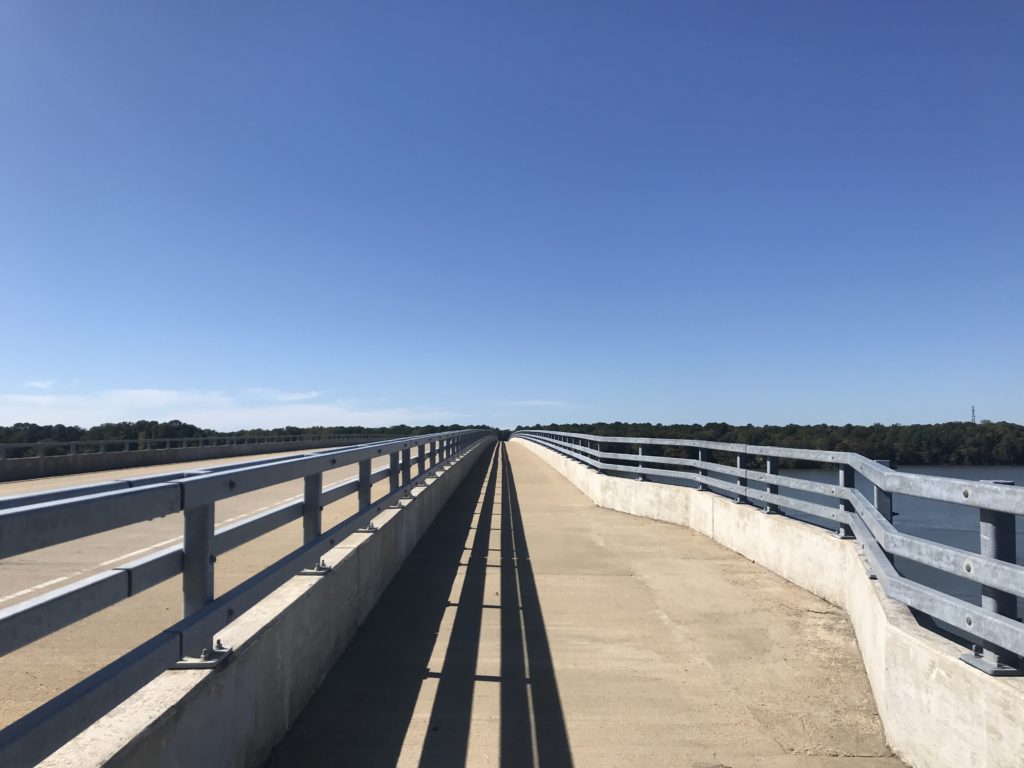
At MP 6 (or 7) the trail crosses the Chickahominy River. There is a separate bike lane on either side or the cool kids can ride on the shoulder on the highway.

Crossing the Chickahominy River

Once over the bridge, the trail continues with Charles City being the next landmark. Charles City Courthouse is at MP 21. There are little to no amenities on the trail so grab them when you see them.

Chickahominy River

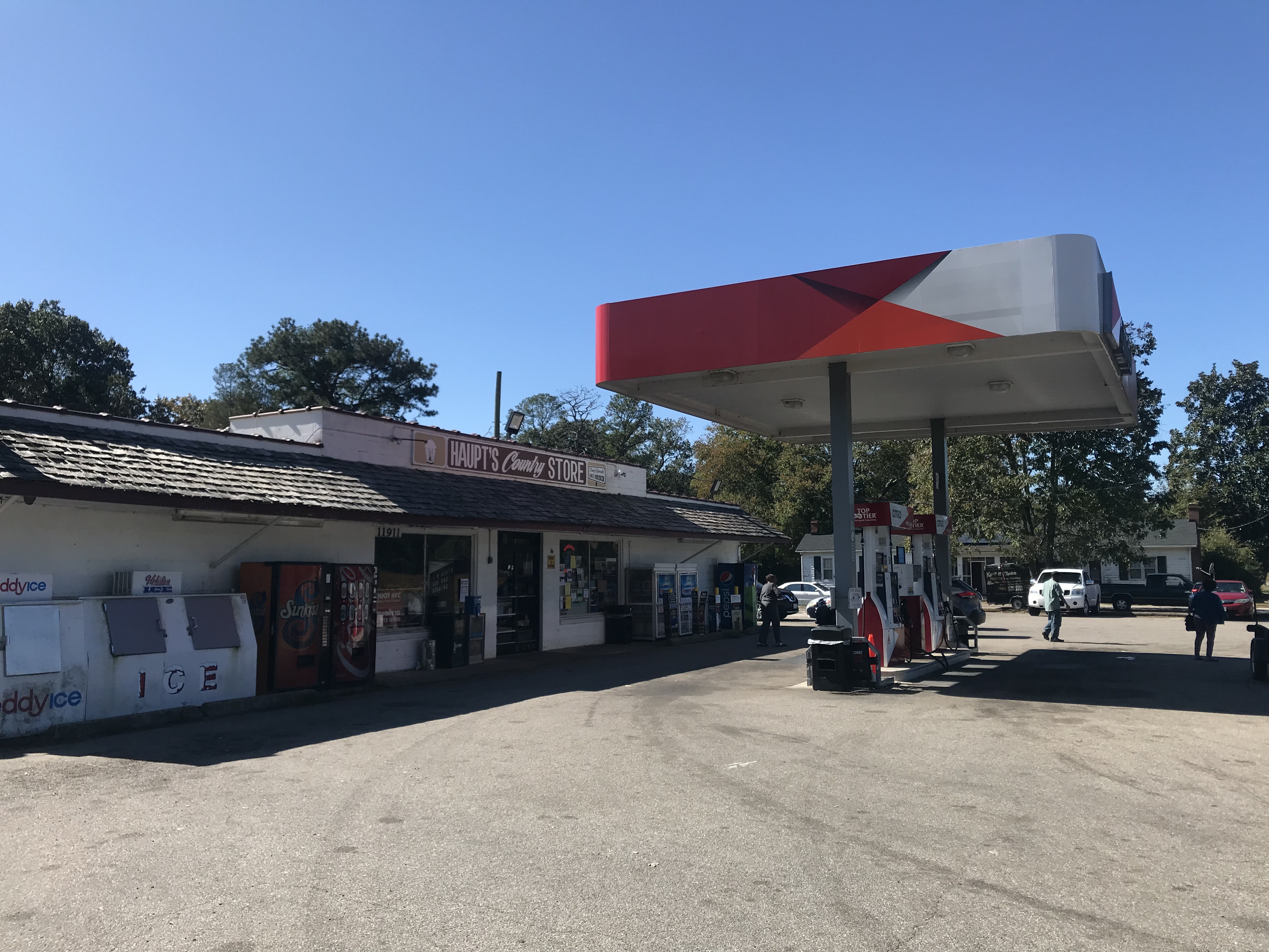
Terry had turned around at MP 13. He suggested to me that I stop at the Citgo service station at Charles City – for their fried chicken. I came to Haupt’s Country Store and at first, kept going. But then I smelled the chicken and went inside. Chicken by the piece was $2.65 for a breast and roll. It was good but there was no seating area, not even a bench outside.
Haupt’s Country Store

At Charles City, the trail disappeared into the street for a couple hundred yards. I passed Cut’s Courthouse Grille and saw some bicycles parked outside. That is your restaurant option if you want sit-down. At the Citgo Station, I stood next to a trash can.
Did you know this?

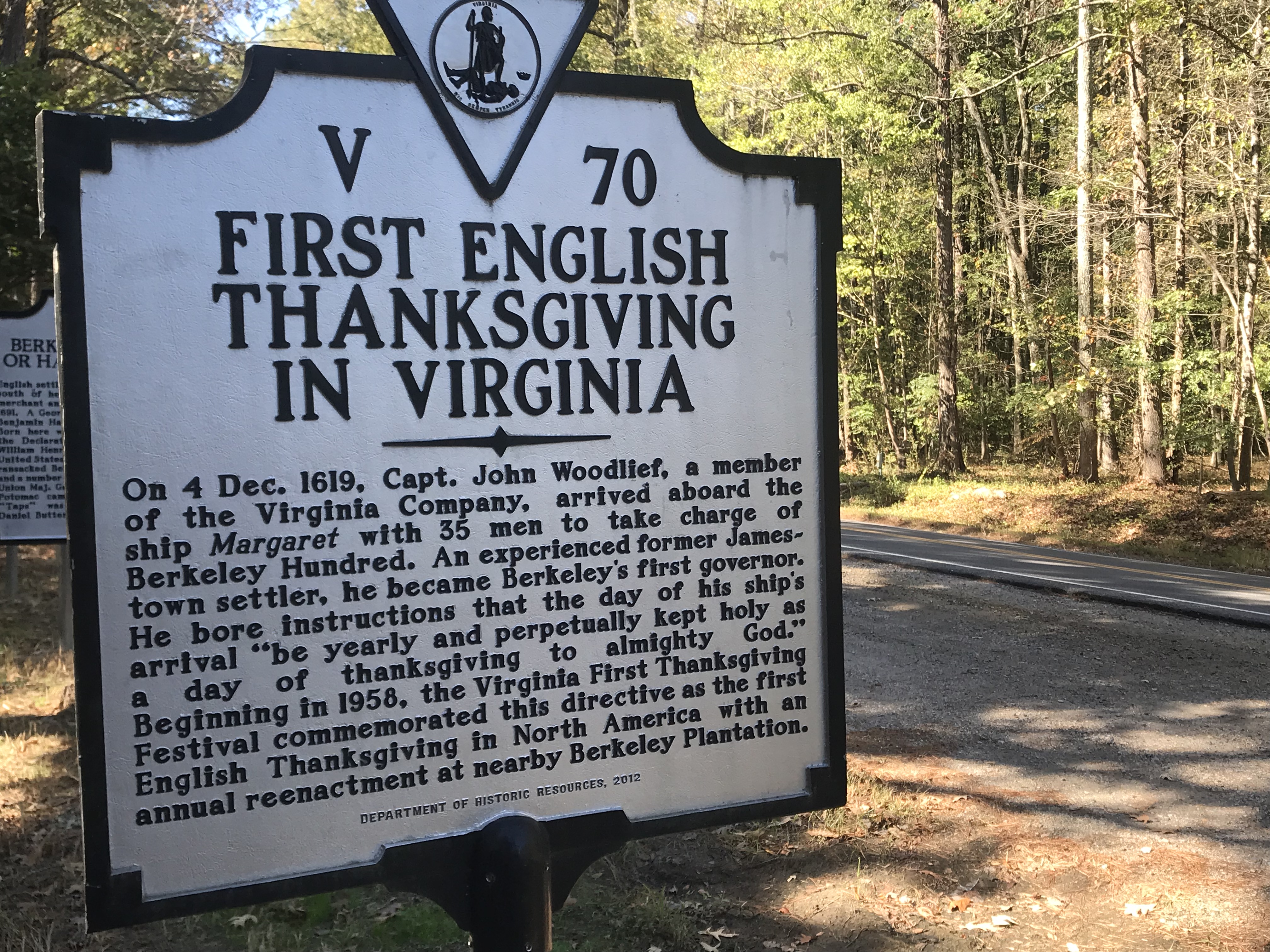
After Charles City, I entered the plantation area. Shirley. Berkeley. Sherwood Forest.

Once in Henrico County, the trail went from flat to rolling. The rustle of dried leaves cracked beneath my tires. It was still wooded in many sections and the Fall leaves were covering the trail.

Another bridge – all are in great shape

Fueled by my piece of chicken, I averaged 17 mph from Charles City to Richmond. My time at either end, Williamsburg and Richmond, slowed my average speed as I was site-seeing in Williamsburg and climbing Libby Hill in Richmond.

Four-Mile Creek Park

As I got closer to Richmond the trail became familiar to me. I stopped here in April and had ridden part of this before.

The trail goes under I-295 and is the only place there is considerable road noise.

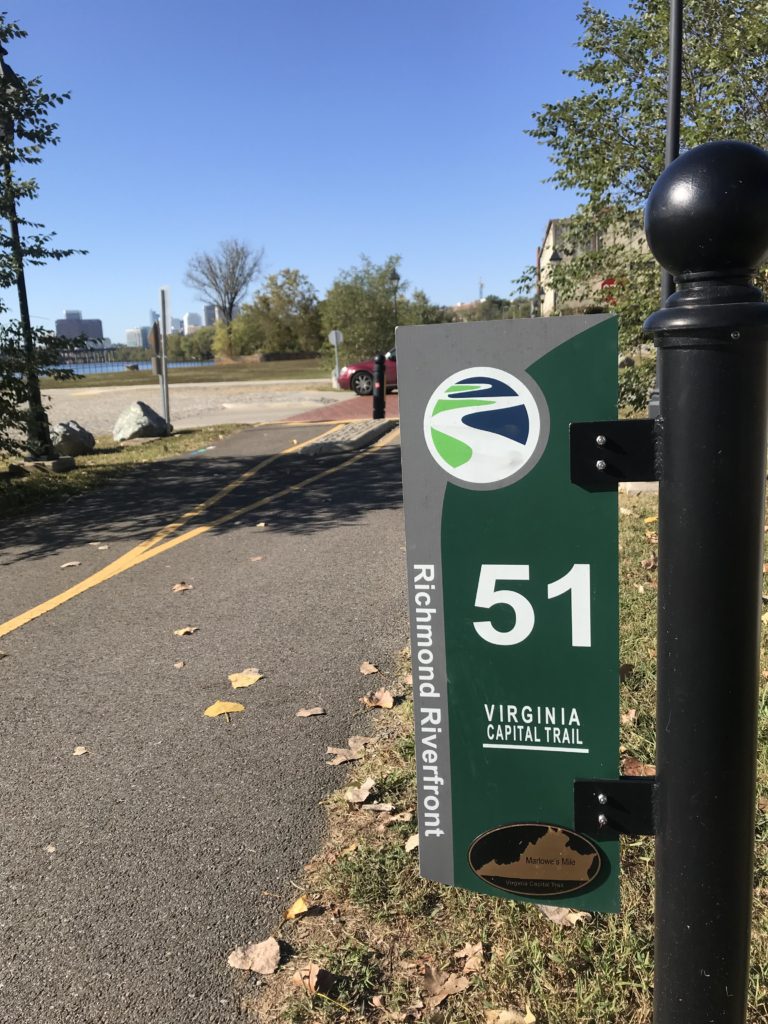
Mile 51 in Richmond

As I got close to Richmond, I remembered some of this trail from having ridden it four years ago when I volunteered at the UCI World Championships. But some of it was also new to me.

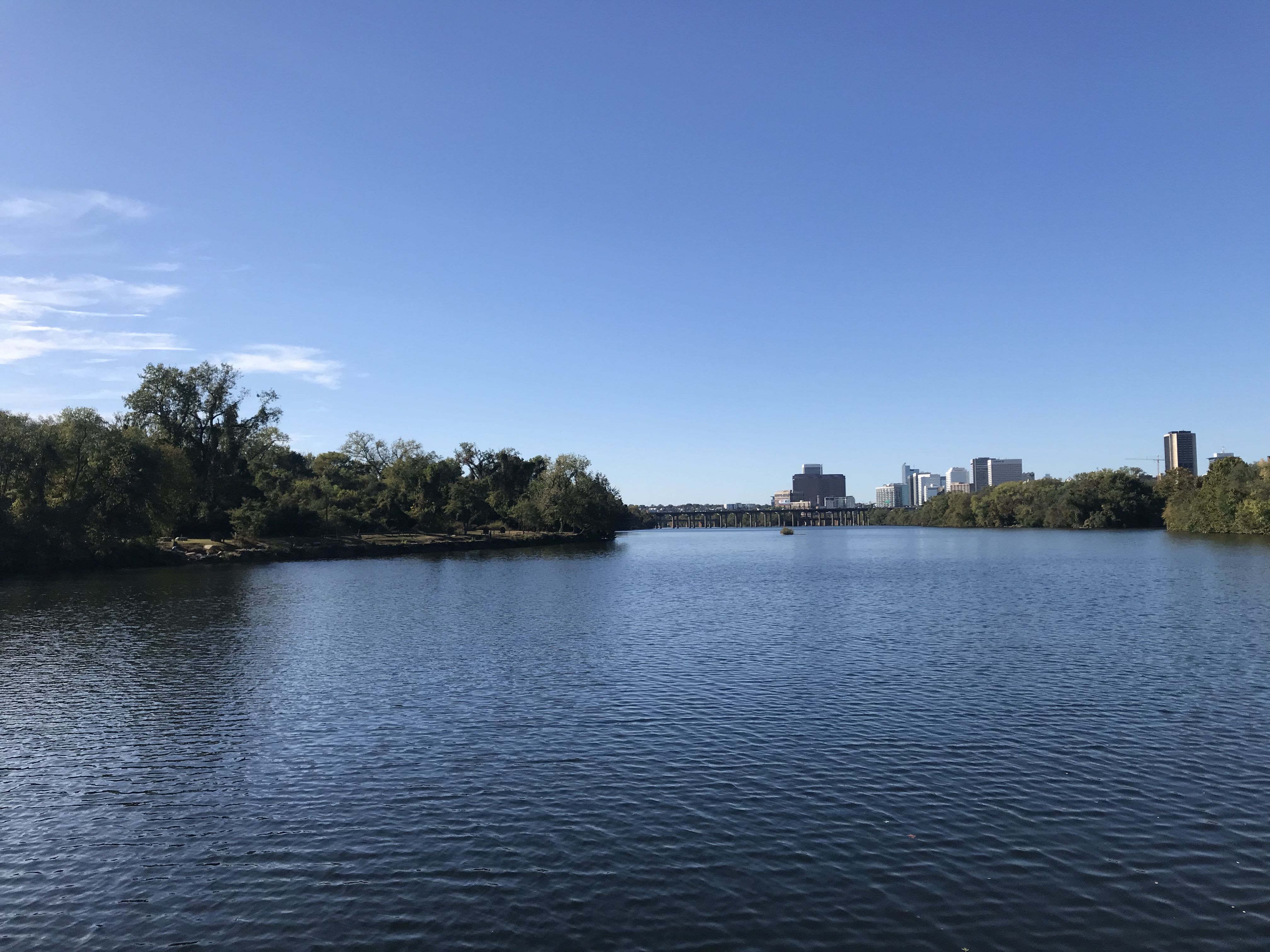
James River, Richmond

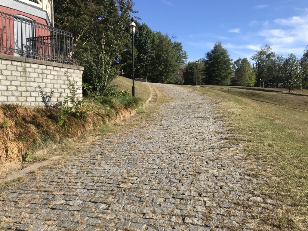
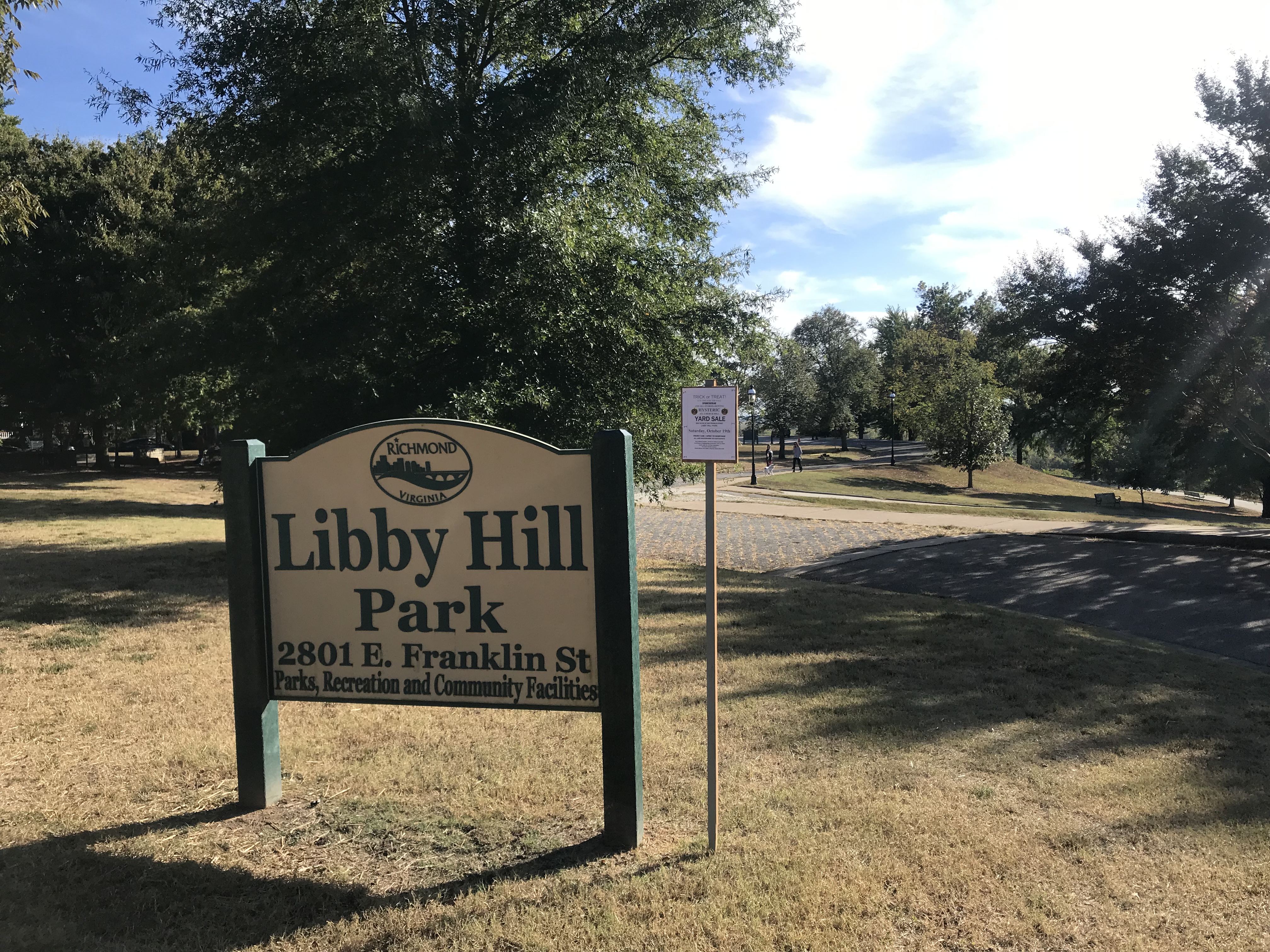
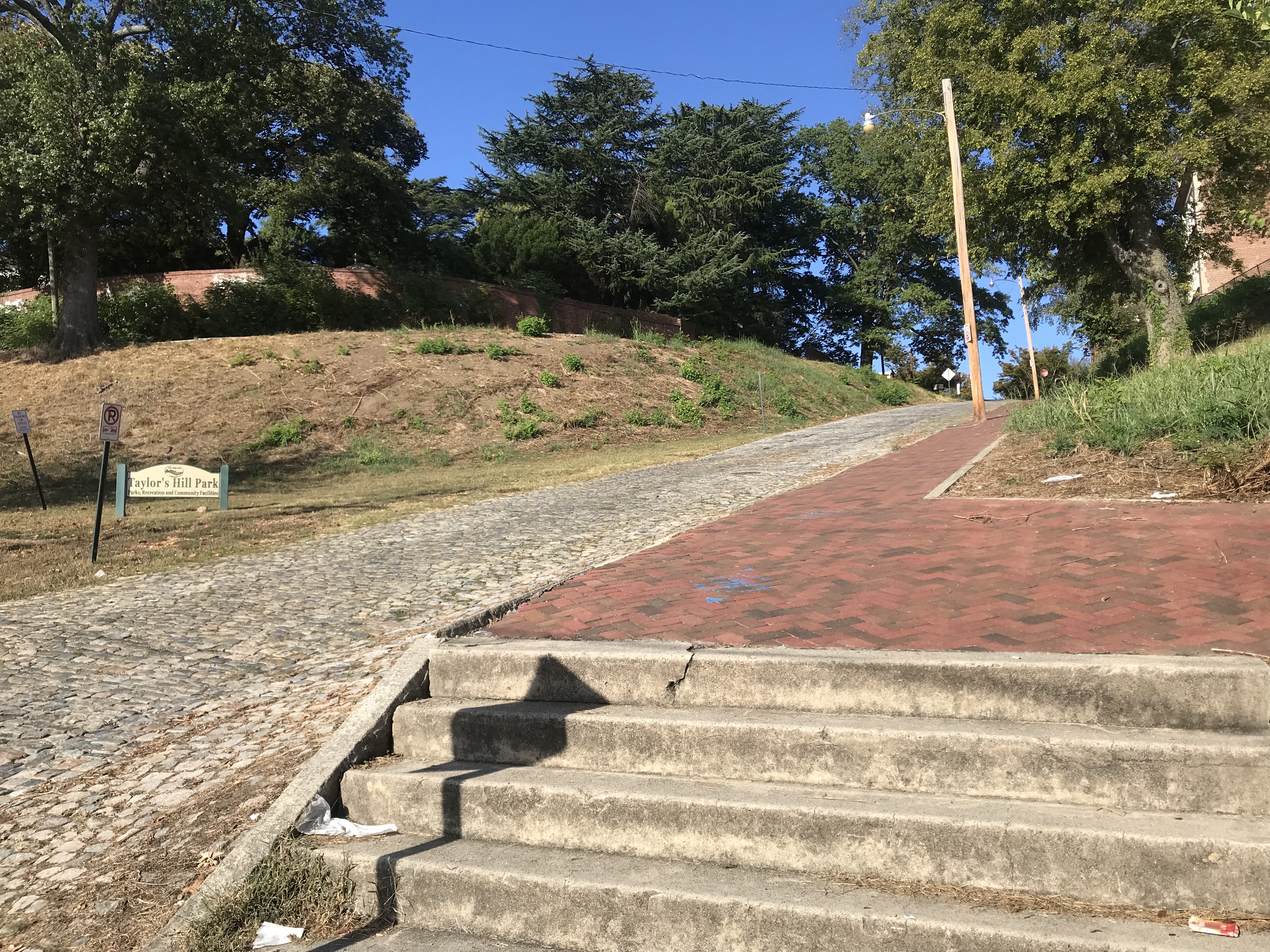
Rather than finish the last quarter-mile of the trail, I turned off it to go up Libby Hill and find where I was parked. At Libby Hill, there was a chain across the entrance. After 10-15 seconds of thought, I decided that was for automobiles. There was an opening for a bike and I rode up the famous Libby Hill – as I did three times last month.

The cobbles on Libby Hill

At the top I needed to find my way to my car. I was on Richmond Hill and the street where I parked, Grace Street, did not continue because of a cliff.

sN. 23rd St is a cobbled street that looks to be 12% grade going down. I decided not to ride down it, afraid of my traction while bouncing on the cobbles. The sidewalk presented a good option and I carefully went down the sidewalk. However, at the bottom, it becomes steps.

Richmond Hill – It’s steep – need steps

It was a 60-mile day. It was a beautiful day. I would recommend this again although I would think I would like to add the Jamestown Ferry as an option and ride on the south side of the James to Rte 156.


Dear Andrew and Staci

SALISBURY, MARYLAND

I arrived at 2:30 yesterday as walk-in registration for the Sea Gull Century began at 3:00 p.m. I registered and picked up my rider packet. There was a $15 difference between early registration and walk-in. The $15 is essentially insurance should the event be canceled (as it was in 2015). But I think next year I will just register online and avoid check-in (although you still have to appear to go pick up your T-shirt).

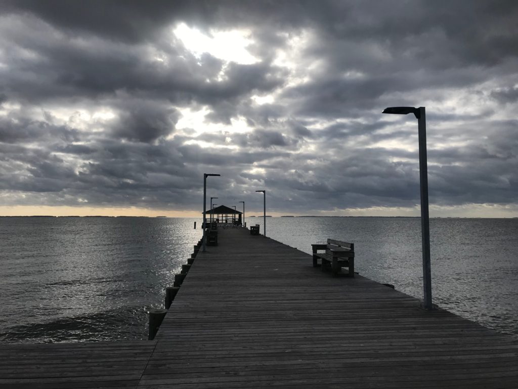
Fenwick Island, Delaware

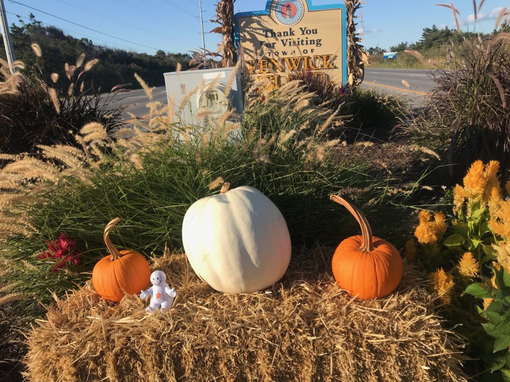
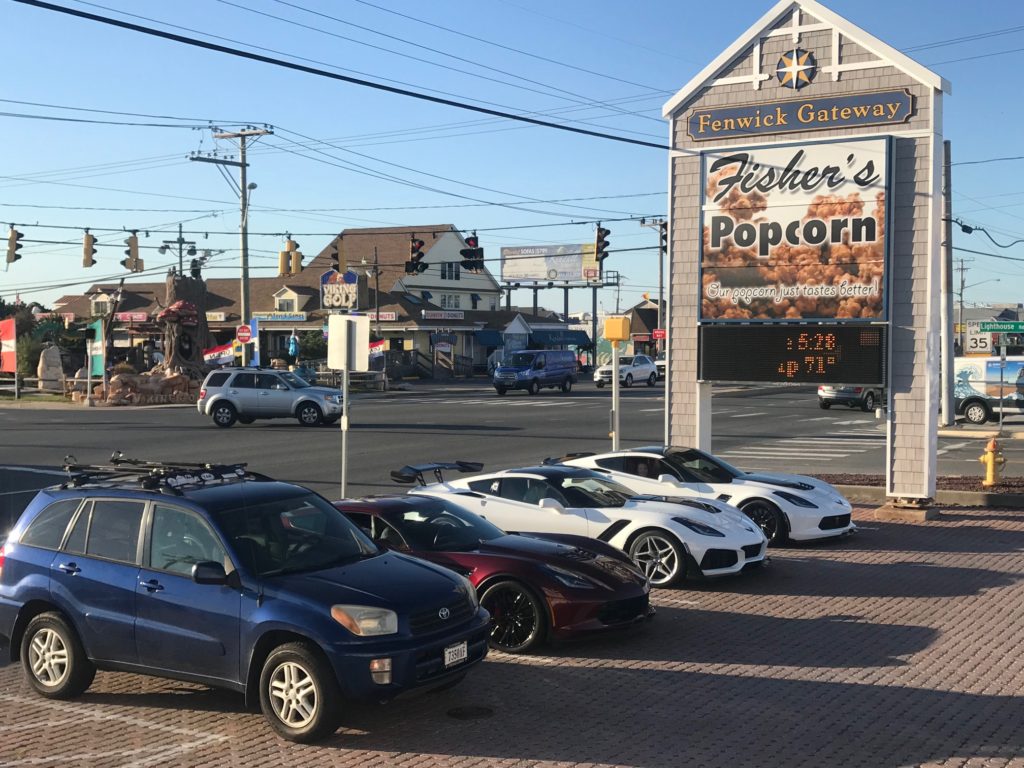
After registration I went to Fenwick Island, Delaware for Fishers Popcorn, a required stop for this trip or I would not be welcomed home. With temperatures in low 70s, it was too nice not to ride. I saw, felt, the wind and knew it was coming from the north. I headed north and it was tough riding. I only rode five miles to Bethany Beach before turning around to enjoy the great tailwind back to Fishers.

The Famous Fisher’s Popcorn


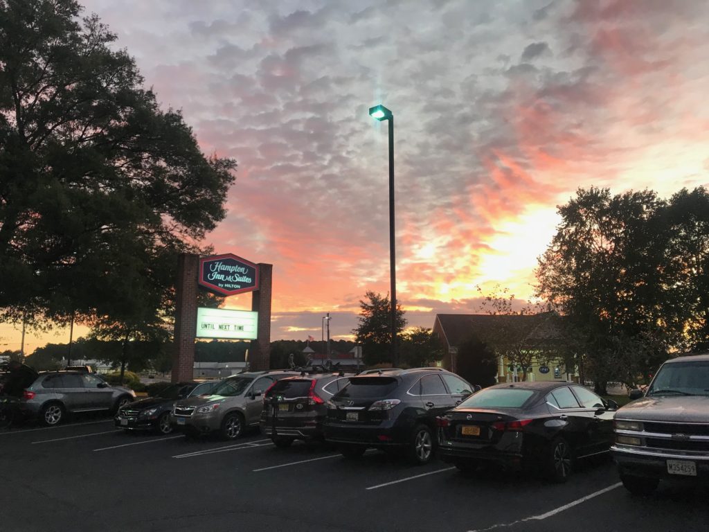
At check-in at the Hampton Inn, a young man told me a big story how his car broke down, he and his wife and child were stranded, and they needed a place to stay. Since I had a room with two queen beds I offered him one of those. He did not accept. The front desk clerks were almost beside themselves that I did this. When the security guard went out to talk to him, they drove off. I may have been born at night but I wasn’t born last night. Hehe.

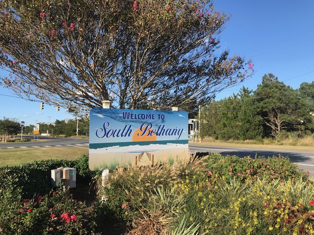
South Bethany, Delaware


Morning came too soon. Lots of cyclists were in the breakfast room as it opened at 5:00 a.m. I stuck my nose outside. It was 52º but no wind. Arm warmers and a vest would be enough for today.

Leaving the Hampton Inn


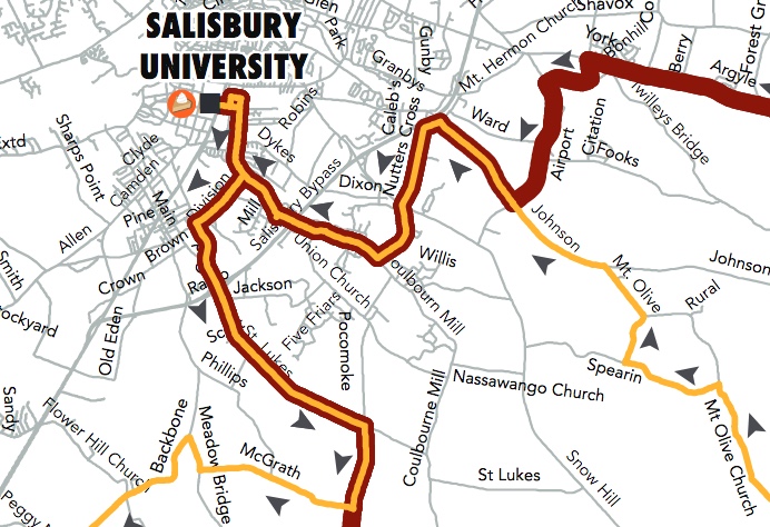
It was a few minutes before 7:00 a.m. and before sunrise. Rather than ride on US13 in the dark to get to the start line at Salisbury University, I made my own route. I wouldn’t start at the official start but make up for any distance by riding back to the hotel after the ride. I had studied the map that the event uploaded and knew they would come down Division Street to St. Lukes.
The original course map. It differed from what they actually used.

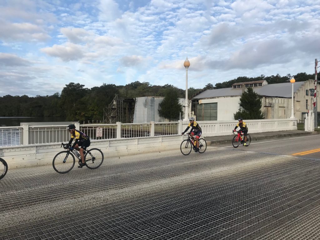
When I arrived at Division Street, no one was there. No one. I knew I was early but with 5,000 riders on course surely I could not be the first. I wasn’t. I eventually (4 1/2 miles) found the course. They had come down Old Pokomoke Road. I joined the ride there.

Snow Hill, Maryland


At the first rest stop, I saw a course map. The organization had printed out the map, displayed it on the trailer, but there was white tape over the first portion. They drew in a new route. They had changed the route but not on the uploaded PDF map I was following. No worries. It was fun for a while thinking I was first on the course.

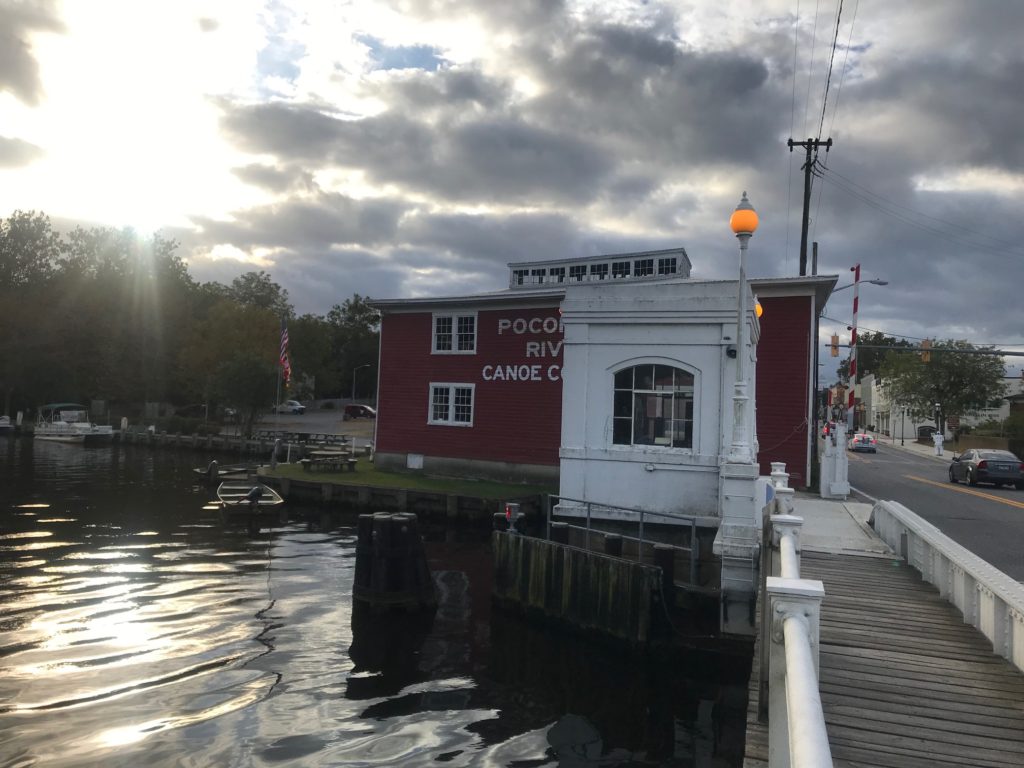
Pokomoke River at Snow Hill, Md.


At the first turn where the two routes separate, I was unsure where to go. I studied the map before I left but not that turn. Were we using the white or yellow seagulls? I asked the photographer and he didn’t know. I asked one couple and they thought they were on the 100-mile route. Stay the course! And it was the right choice.

Chincoteague Bay


This was the fourth time I did this ride. What makes each different is the weather and the people you meet or ride with. Today’s difference was the weather. Temperatures weren’t bad, ranging from 52º to 64º. There was very little sunshine. I would wear the arm warmers all day but eventually unzipped the vest. But the wind that wasn’t present at the hotel was present beginning around 8:00 a.m. And it was strong. All-day long.
Two and three years ago I rode with riders from the Blair Cycling Club (Pa.). Last year I met a woman, Sandra, and two of her friends, and we rode together for 60 miles. Today I met nobody until eight miles to go. Here the Assateague Century and Princess Ann Metric routes come back together.

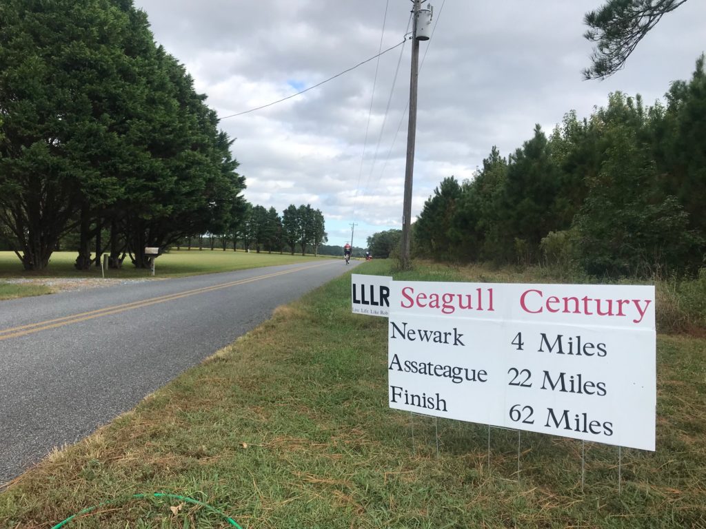
Near Newark (4 miles)


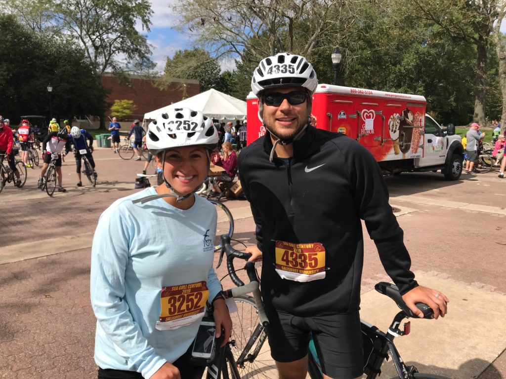
As I turned after the airport, I briefly met a young couple, Andrew and Staci, who were new to cycling and riding their first long event. Staci seemed impressed that I rode 100 miles. I should have ridden with them but had been riding well (18 mph) and wanted to keep up my pace. Staci asked if riding in the wind was easy.

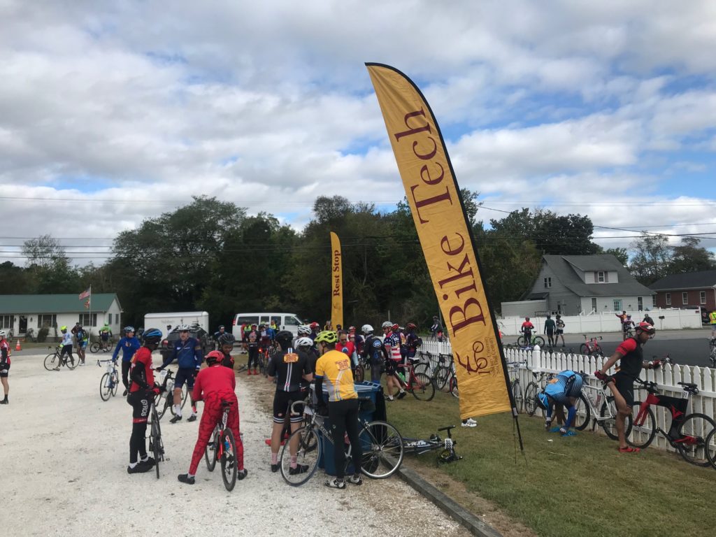
Rest Stop 2 – Newark


If they are reading this, I will tell you what I know. Riding in the wind is hard. Some say it’s harder than climbing because “you can’t see the wind.” But I disagree. Look back six days at the Alpine Loop Gran Fondo, which had plenty of climbing. I averaged more than five miles per hour faster today than when climbing over the Shenandoah Mountain near Harrisonburg, Va. on Sunday.

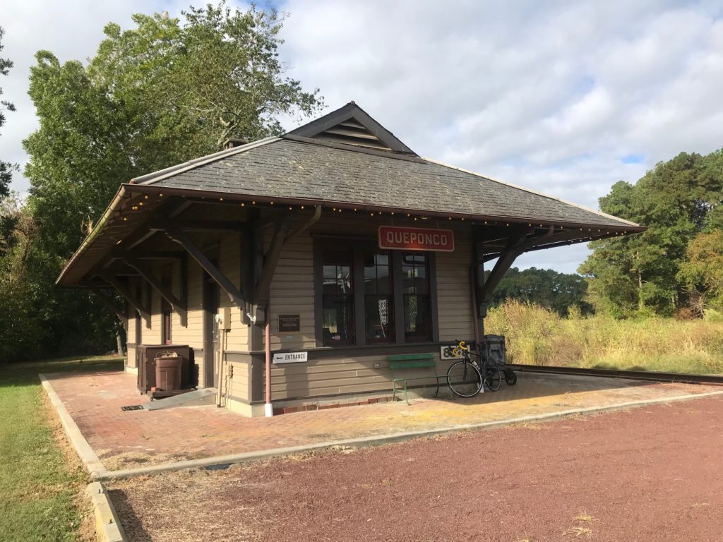
Quepanco Station at Newark, Md.


The key to riding into the wind is to get into a group and draft. Or get lower. Or do both. Generally, I found a group the last three times here. Today, not so much. But one can always “grab a wheel” and jump in a “paceline.” Paceline is mostly a misnomer because on this ride there are mostly wheel suckers. I have yet to see a true rotating paceline like I rode in Indiana in August.

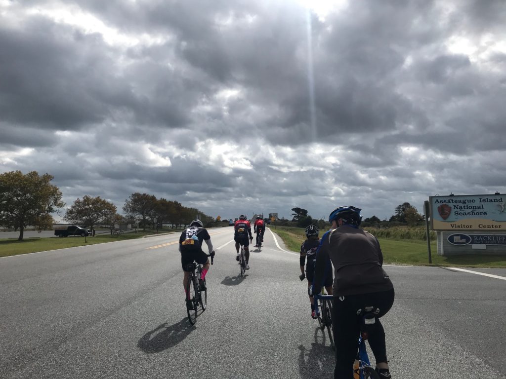
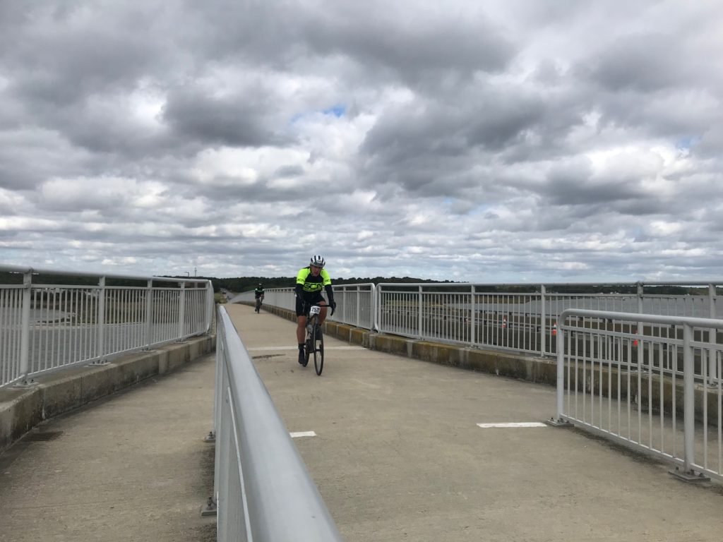
Approaching Verrazano Bridge, Assateague Island


I rode most of the miles solo today. Other times I jumped in with a group for a bit. Fighting the wind is not as hard if you are in a group.

Verranzano Bridge at Assateague Island


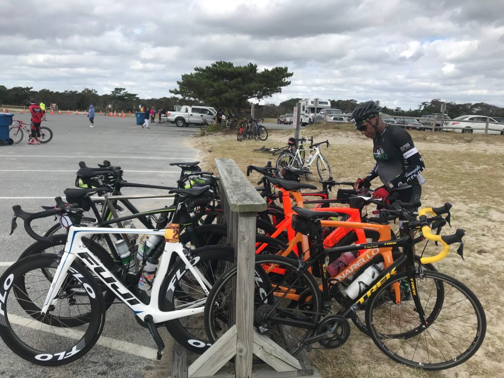
My first segment took me to Rest 2. I skipped Rest 1 which is always crowded. I’m usually able to find port-a-johns on route and with temps in the low 60s, I wasn’t depleting my water bottles. Segment 2 took me to the rest stop at Assateague Island.

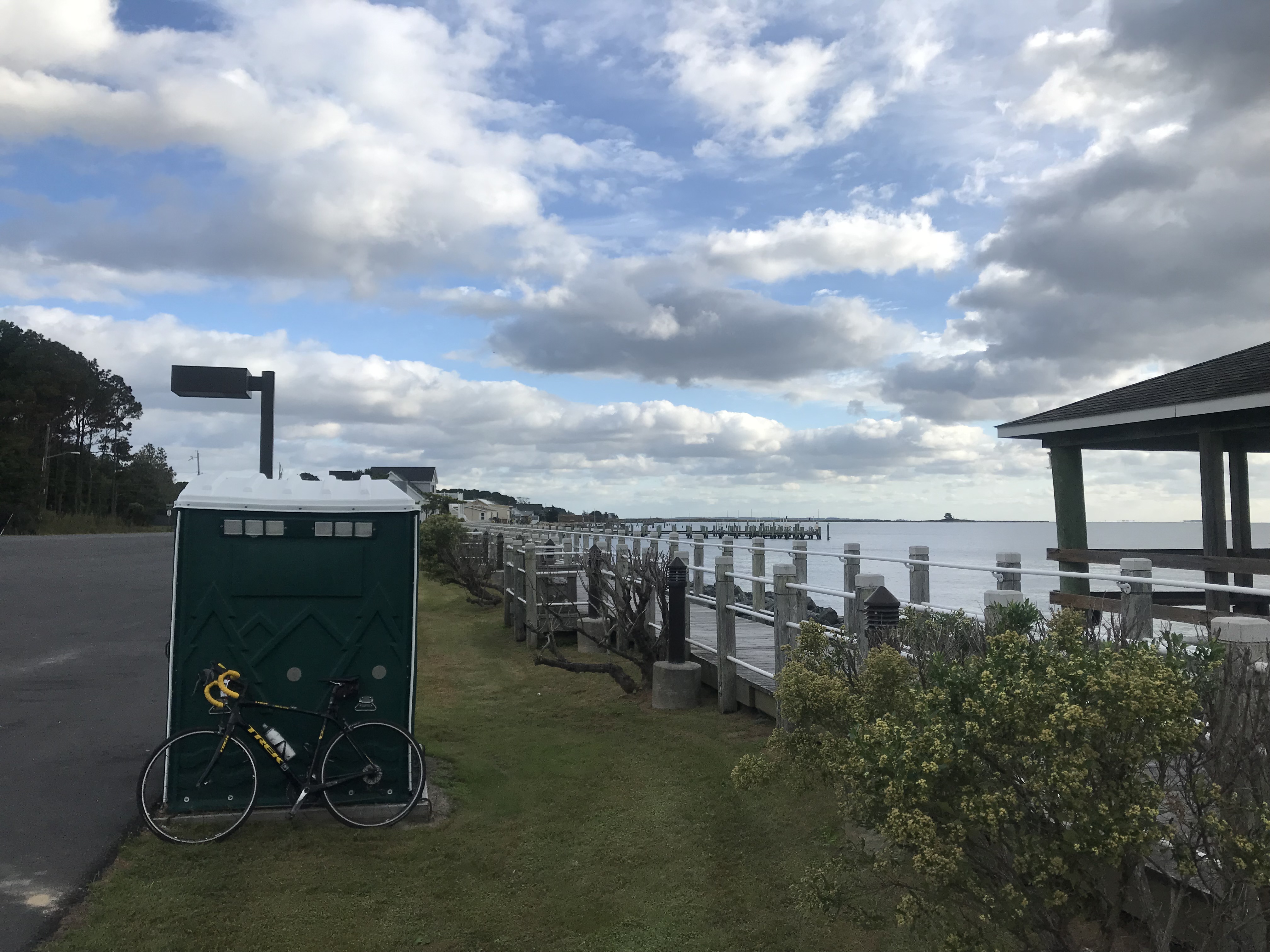
I can find my own porta-a-johns; this one at Snow Hill


Segment 3 was from Assateague Island to Rest Stop 4. It was here, just after Berlin, that I realized I set a personal record for miles in one year. I was feeling good about that when a group of four went by and I jumped on. One rider pulled for 1-2 miles then dropped back. Another pulled for a while then dropped off. But they stayed upfront. There was no rotation. Finally, I went to the front. And I promptly rode off the front. Damn me.

Rest Stop at Assateague Island


Despite arriving together at Rest Stop 4, we were not a group and I didn’t see them leave or wait for them. They may have all been friends. Or complete strangers. I don’t know. I didn’t see where they went once we stopped. The sign at the stop said 17.3 miles to go and I went solo the rest of the way. It was here, with eight miles to go, that I briefly met Andrew and Staci.

Rest Stop at Assateague

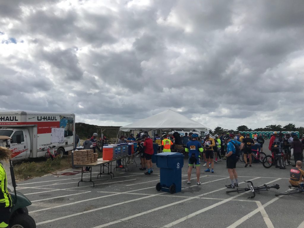
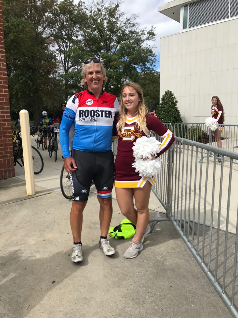
Arriving back at the college is always neat. The route goes under US13 through a pedestrian underpass. Coming out the other side you are at the finish with people congratulating you including the Salisbury University cheerleaders. The event is well supported by the University. The track and field team were the volunteers at Rest 2 (and maybe Rest 4). Apple pie and vanilla ice cream were offered at the end (or cherry pie and chocolate ice cream).

Barry and Cheerleader


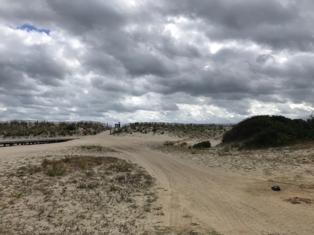
I was disappointed today as I saw no horses at Assateague Island. We were at the very northern tip by road which is the Maryland State Park. I talked to a ranger and he explained that they haven’t had a great experience with 5,000 riders in the park as some of them have tried to pet the horses. I almost went into the national park where I knew I would find horses but decided not to.

Sand dunes at Assateague Island


Staci asked me if I rode this before and then stated I probably do these all the time. So Staci, here is the answer.

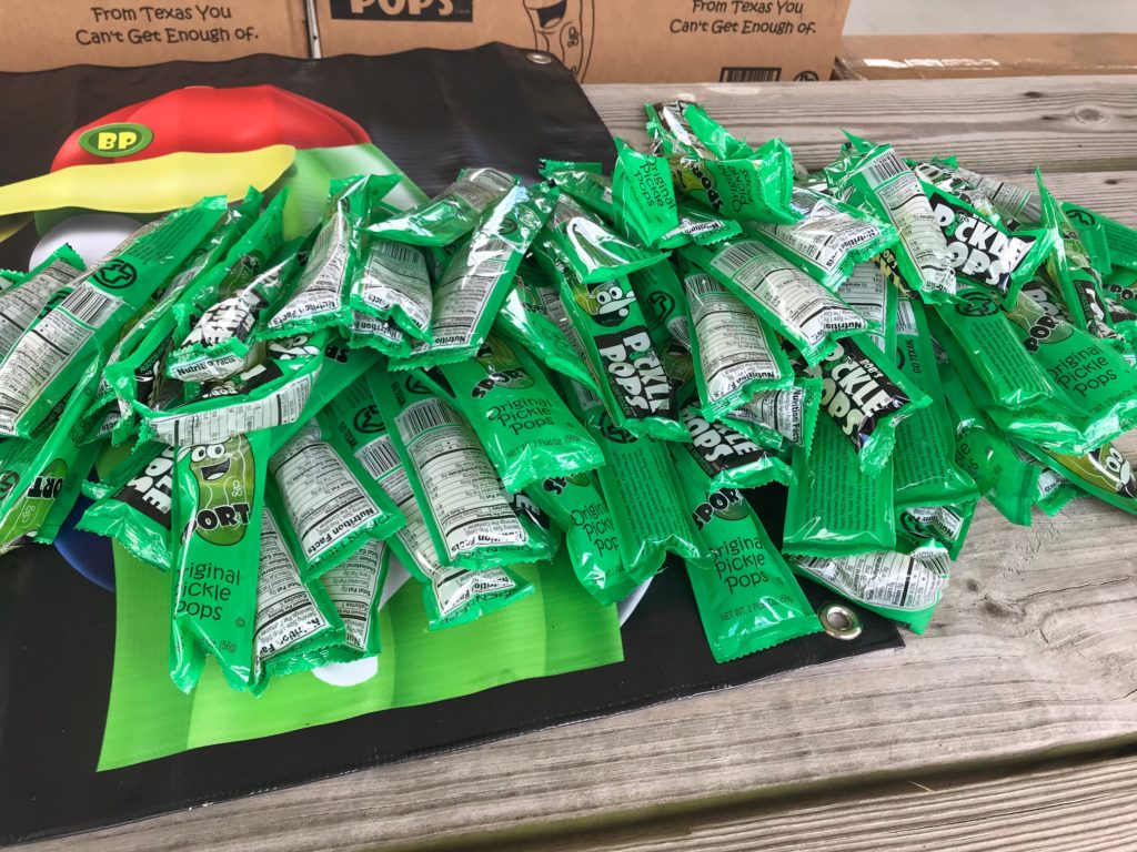
Pickle Pops – I did not try one


Dear Andrew and Staci,

I used to do century rides all the time. Or I feel like I used to. But I had knee replacement surgery 18 months ago. If that didn’t slow me, I had a memory-loss accident a couple of months later. The only century ride I completed in 2018 was this one. The Alpine Loop Gran Fondo last September I cut short and the Horrible Hundred last November in Florida I also cut short. The latter was because I was with friends who weren’t riding the full 100. I even competed in the World Hillclimb Championships in Santa Barbara and earned the title as Worst Cyclist in the World.

This year we did a planned 95-mile four-country ride in Luxembourg but I was sick so no need to add five miles to call it 100 although some in my group did. In Indiana in August, the Spokes of Hope Century Ride was cut short (65 miles) by thunderstorms. At the Alpine Loop Gran Fondo in Harrisonburg, Va. six days ago, I stopped at 78 miles.

Staci and Andrew


After 18 months of previously completing only one century, it was important enough for me to finish this one – and to finish fast. I began to think I may never finish another one. I felt bad pedaling away from you (Staci and Andrew) when normally I would have ridden and talked for a while. I wasn’t just being a dick. Really, I wasn’t.

Windy at Assateague Island


I was impressed that you both have only been riding for just four months. To increase your mileage to ride a Metric Century is a big accomplishment! I was most impressed with that than anything I saw on this ride.
I hope the two of you keep riding. Cycling is healthy, especially when you avoid crashing. For the minutes or hours you are on the bike you are in a different world. Maybe next year you will want to ride the full Century route. If you do, let me know, and I’ll try to ride it with you. But above all, keep riding, and I wish for you Peace on a Bike. – Barry

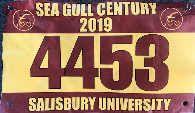
Race Bib


Climb to Conquer Cancer

RICHMOND, VIRGINIA

A new ride to me. A cancer ride sponsored by Amy’s Army of Cancer Warriors benefitting the VCU- Massey Cancer Center.

Libby Hill

Logistically, I decided I would park at Stone Brewery, a huge lot about a mile from Libby Hill Park. There were only a handful of cars there and the parking space I was looking at (near a tree) had lots of broken auto glass – the sign of a break-in earlier. Ugh.

Libby Hill

I had to check-in and pick up my timing chip before the ride. I rode up Williamsburg Avenue and turned on Libby Hill. Our route would take us up this climb twice on our ride. I decided to make it three. There was as much grass as there were cobbles. It was actually an easy climb. Not steep. Not long. And the stones weren’t that annoying.
Looking down Libby Hill

Throwing some numbers at it – the best I can tell the climb is about 220 meters with an average or steep grade of 9%. While we did two climbs, the pro men in 2015 for the UCI World Championships did 16 climbs up the hill.

Riding in Memory of
Jacob Grecco
Alex Shepherd
Janice Lowmaster
Kay Walborn

I positioned myself at the back of the group for rollout. When we were ready to go they announced that I was at the front. Oh well. I turned my bike around and rolled up behind the police cruiser who would escort us for a four-mile urban loop before bringing us back to Libby Hill where we would climb the hill, for the “first’ time. This one was timed.

The parking lot at Stone Brewery

As we rolled through the Richmond streets the calls of “Hole!” echoed throughout our group. The streets were in bad shape. This was very unfortunate. I was second wheel behind the cruiser on the right. Perhaps third or fourth wheel on the far left was a rider who came upon one of those holes.

Statue at top of Libby Hill Park

We may never know what happened next. It appears it hit it hard. We all heard a loud bang – sounds like a gun but it was the sound of a tire exploding. I heard a crack and in my periphery, I heard two bikes coming together and I saw at least one but I think two riders going over their handlebars while their bikes went up in the air. As far as I know, only two riders were involved which is a small miracle.

At the start line. Little did I know we would turn around to start and I would be in the front, not back.

I did not slow down nor turn to look to see what happened. Any sudden action by me might cause more riders to crash. I yelled “Riders down!” and we told the police to go back and check. We waited for 20 minutes until the ambulance arrived and took the riders away.

Waiting for an ambulance for our riders who went down

At Libby Hill, I crossed the timing mat and then, a rider in front of me, stopped, lifted his bike in my path, and turned around. Any chance I had of doing well on the climb was taken away from me by an inconsiderate rider.

Volunteers at Rest Stop 1 – They make the event happen

While I had been riding first or second wheel behind the cruiser, the word must have gone out to leave the accident scene without the police escort. I had gone from the front of the group to the rear (hence the guy in my way at the bottom of the climb). Once over the top, I locked into a group of orange riders. The group was mostly women but there were some men.

The James River, Richmond

We rode 24 miles to the first stop. Mostly I chatted with an unnamed guy and the big takeaway was telling him about and letting him try my Dual Eyeware sunglasses since he couldn’t read his Garmin. He was impressed. He then met some friends and took off with them.

My 10-year Cancerversary

I stayed with the group I was in. They were with Sweet Spot Cycling. Most seemed to be 30-40s somethings although one woman was riding after a partial knee replacement in July. Based on the age of knee replacements, she was probably on the north side of the 40-something range. Kudos to her!

Sharon MacLean Maggie Hopkins Barton, Leary Jessica Conley, Dixie Newsome, Erin Silliman Wittwer, Marion Palme, Ashley Gibbs.. Source: Maggie Hopkins Barton Facebook Post shared by Amy’s Army of Cancer Warriors (Sept. 23, 2019)

We skipped Rest 2 and rode 30 miles to Rest 3. We averaged 18.2 mph with most, but not all, taking pulls. I did. Some of the non-Sweet Spot riders never came to the front. The last 10 miles we averaged another 18 mph. I backed off before the climb just so it wasn’t so crowded. Once I hit the climb my legs knew it. The first two times were easy. The last one was not – it’s what having 60 miles in your legs will do.

Alongside the James River returning to Richmond

I passed a couple of riders and was out of the saddle at the end. I thought I was way worse but unofficially was just eight seconds slower. It just felt much slower.

Rider finishing on Libby Hill

It was an enjoyable ride. I sought out one of the Sweet Spot riders to thank them for letting me join in with them. I would do this ride again and recommend it to others.

Riding “partners” from Sweet Spot Cycling


Alpine Loop Grand Fondo

HARRISONBURG, VIRGINIA

The weekend began yesterday with an invitation-only ride out of Harrisonburg with Jeremiah Bishop and The Vegan Cyclist. Jeremiah took us off-road where he may have been the only one comfortable going down dirt roads. But no one fell and we made it back to registration at Craft Brothers Brewing in one piece.

The Saturday Ride

In summarizing today, one only needs to look at last year’s post. I sucked on the first mountain climb. I sucked more on Reddish Knob. Cramped. I decided it was best not to do the 20-mile loop making a century ride.

Three prostate cancer survivors: Mike, Robert, Barry

Of my eight times doing this event, this started out the most perfect. The temperature was just right (mid 60s). I was at the start line plenty early to say hello to friends.

Rollout thru Harrisonburg
Barry is front and center in yellow
Source: Alpine Loop Gran Fondo Facebook Page (Erin Bishop)

One thing I did not do was to pick up a timing chip to be timed on the climbs. I finished dead last in the WORLD last year at the World Hillclimbs Championship so who am I fooling thinking I would win anything? Plus, without a chip, I may be free to stop and take pictures.

Passing the Amish. She asked us if we were all local.

At the start line, we were called out or recognized. As a prostate cancer survivor, I am always recognized. I’m sort of like a mascot. A big cancer-surviving mascot.

Sunday morning group ride

At 8:00 a.m. we rolled out. I was in the front row and stayed there for the first couple of miles. When we turned off the road I dropped back four or five places. But we were often doing 20-25 mph in tight quarters. Except for Jeremiah Bishop, these are not professionals. I am not a professional. I am just uncomfortable riding that close to that many strangers. I pulled off at a Mennonite Church and let 100-150 riders go by before jumping back in.

The climb on U.S. Rte 33

A century ride should be ridden as easy; medium; hard. That is, ride the first third easy. And I wasn’t. Maybe they were riding easy but it was more effort than I wanted to use at that point. It was foolish for me to ride hard to stay with the group. I backed off.

Top of the Shenandoah – Camera lens blurred with sweat

I was seemingly passed by everyone on the road. Many times I thought I was dead last but often 4-5 minutes later someone else would pass me. Sometimes groups of 3-4 riders went flying by. Where were they hiding?

Volunteers at Rest 1

We got to the first mountain climb, Shenandoah Mountain on U.S. Rte. 33. I was passed by 22 riders and passed no one. I was having a bad day. I briefly talked to 16-year-old Ben, who I helped last year. He had passed me but then I caught him and asked him if he was going for another jersey. He told me he was but didn’t think he had a chance. I hope he made it. We both stopped briefly at the summit but I had a good fast descent and didn’t see him after that.

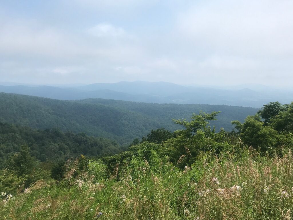
At Reddish Knob Road I started the climb. It is tough. It begins with a one-mile climb followed by a one-mile descent. Then the fun begins. It’s a five-mile climb with 1,635′ of gain. That averages to 6.2% but that is skewed by the last half mile or so which flattens out. By contrast, the seven-mile climb at Horseshoe Curve (Altoona, Pa.) averages about 4%. That one does have a very tough section of 20% though. But Reddish Knob is harder.

Barry at start of Reddish Knob

I was passed by five riders going up Reddish. But three of those I eventually passed back as they were pushing their bikes. It is tough. One guy was paperboying all over the road and still passed me. Until he walked.

Welcome, Gran Fonda. Henry, I hope.

It took everything I had not to stop. Not to walk. I dug deep then went deeper. My right knee was hurting. I made the decision to do the 80-mile route and forgo the century. I also tried to make plans for dinner with the granddaughters in Martinsburg and I couldn’t do both.

One-lane bridge

The last 20 miles went fine. The last 40 may not have. Occasionally I was passed by a rider or two. I was always amazed at the pop they still had in their pedals while I struggled.

Back roads of the Alpine Loop

And like last year, Katie Yates came over from JMU to meet me. Unlike last year, a storm moved in which would have caught me on course had I not ended early.

Barry at finish (holding an ice-cold towel)

This ride gets harder every year. I have to either get younger or lose weight. I am carrying too much weight up these mountains (although the downhill portion is fun).

Katie and Barry

Verified by MonsterInsights