JOHNSTOWN (FRANKLIN), PENNSYLVANIA
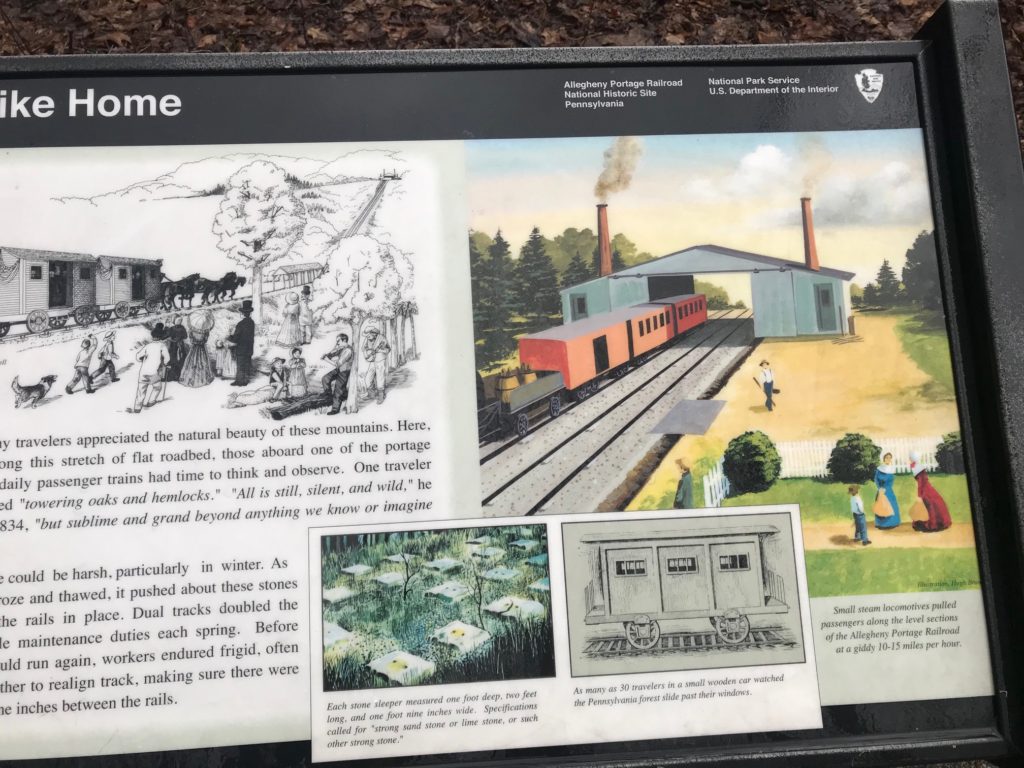
I was looking at the Winter 2020 edition of Rails to Trails magazine and saw a very brief article about the Allegheny Portage Railroad. I had seen the eastern end many times, it is well preserved as a National Park Historic Site but I had not been on the western end.
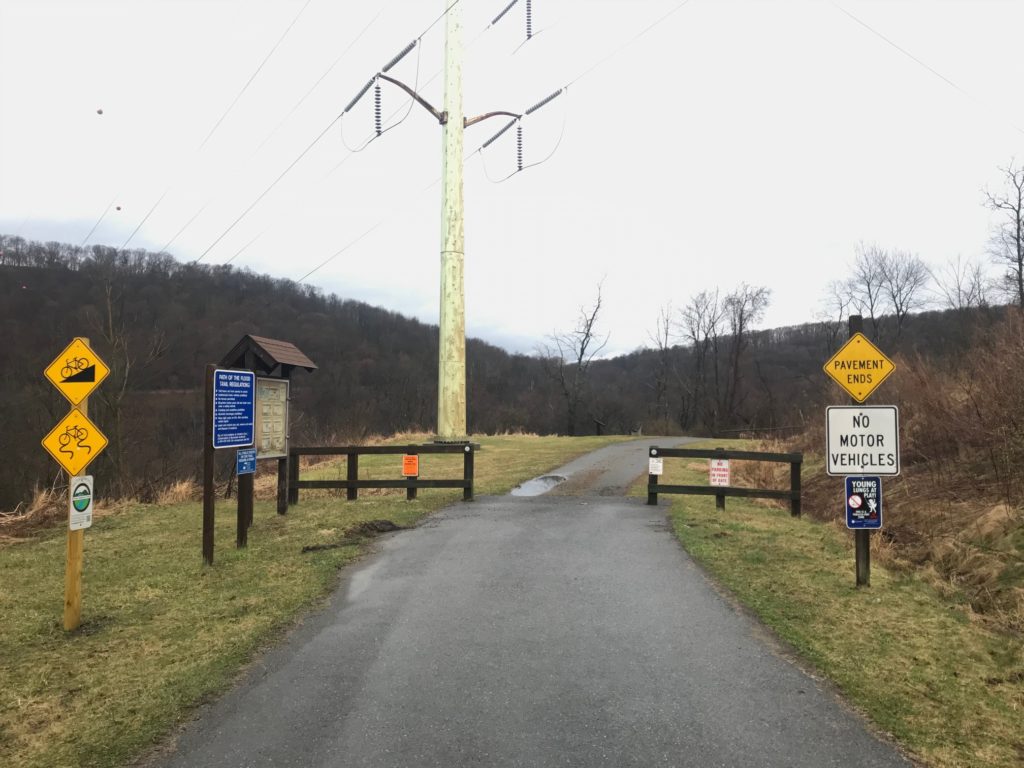
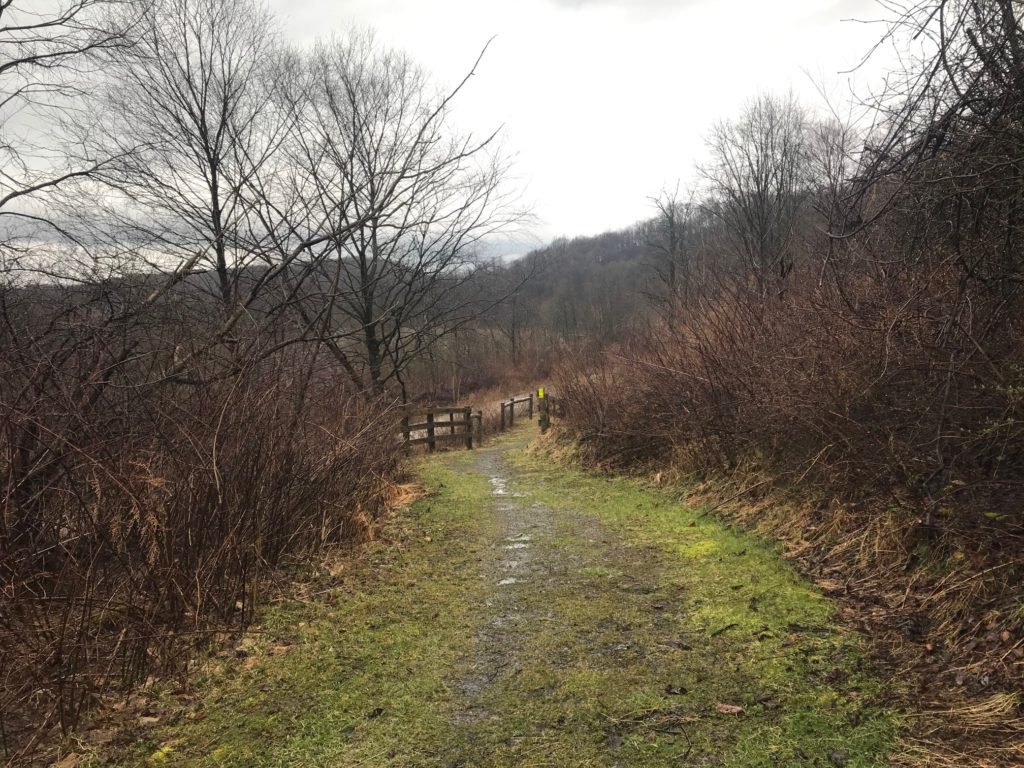
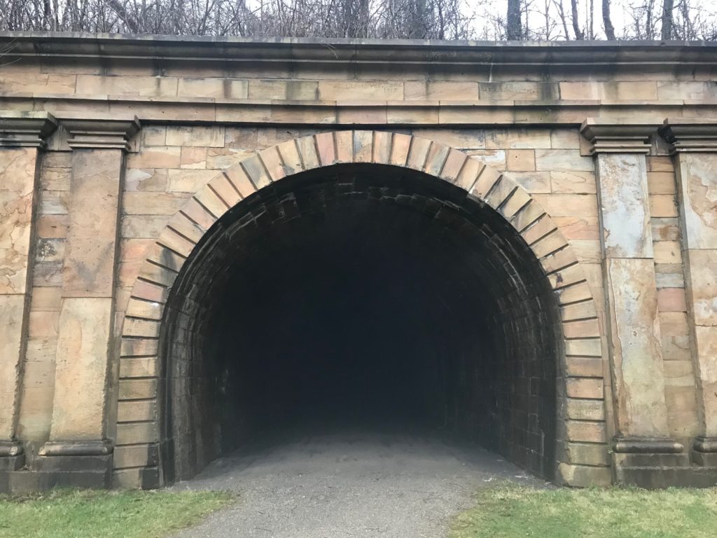
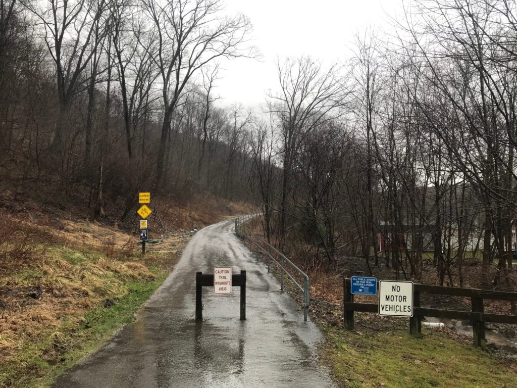
Trailhead for Path of the Flood Trail
In 2010, on my first ride from Somerset to Punxsutawney, I had taken a wrong turn and ended up at the trailhead of the Path of the Flood Trail. I turned around when the pavement ended and the trail became crushed limestone.
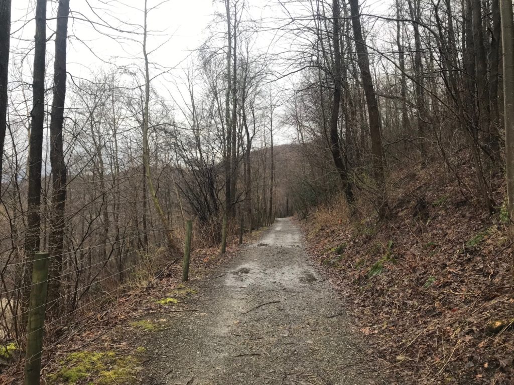
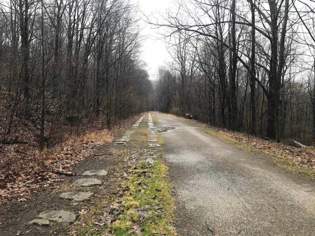
First quarter-mile; the pavement turns to a gravel road
I wonder what adventure I would have had if I had stayed on the trail that day. Lost, that’s what adventure.
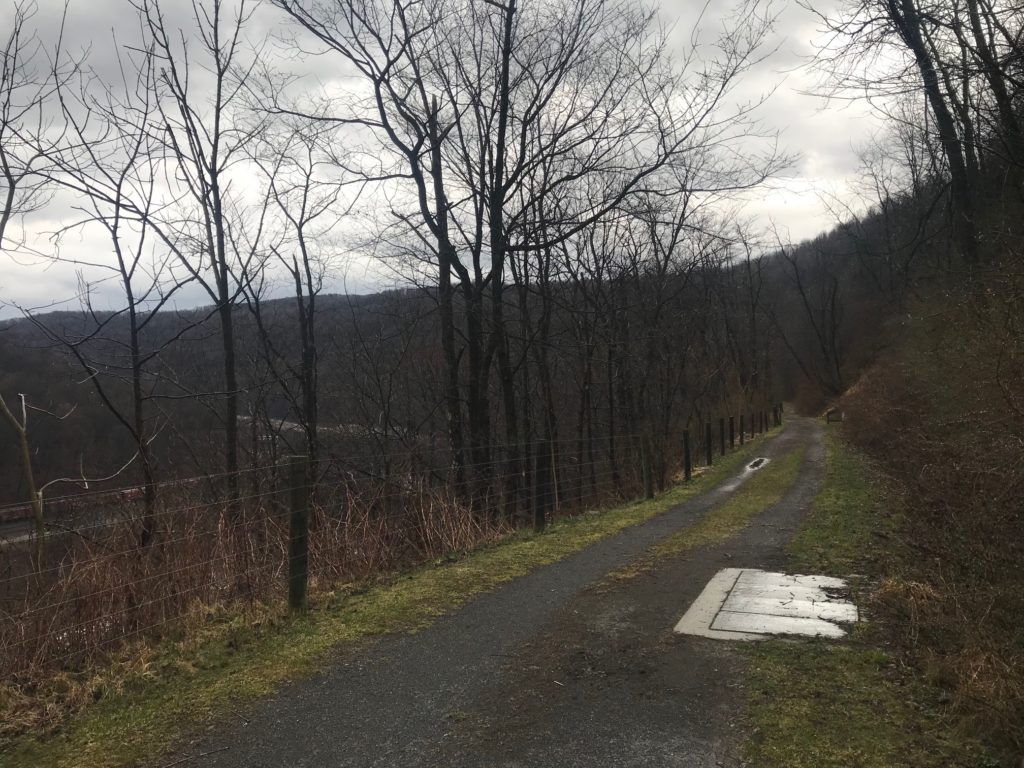
Path of the Flood Trail. The river is visible on the far left beyond the train tracks.
But today I decided I would do a loop by following the trail to South Fork then taking the road back to where I had parked. The forecast was for rain starting around 11:00 a.m. so I went early.
Path of the Flood Trail – the crushed limestone trail turned to mud and single-track
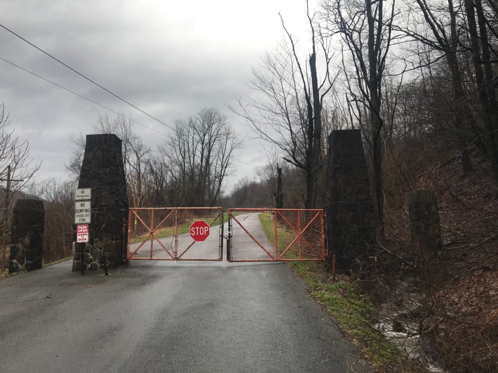
I drove to the trailhead but the park was closed. Not sure if it was the season (a weekday in March) or was in response to the Coronavirus. I went back into Franklin and parked on the street.
It started to rain as soon as I started to pedal. I was in it to win it and the rain would not stop me.
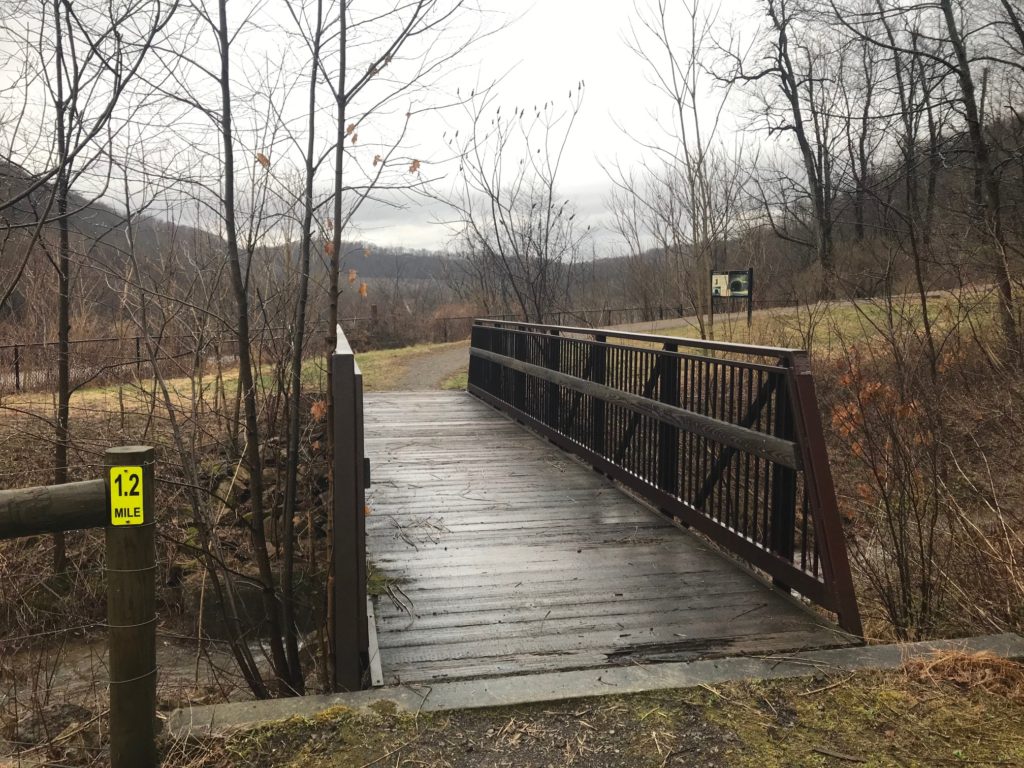
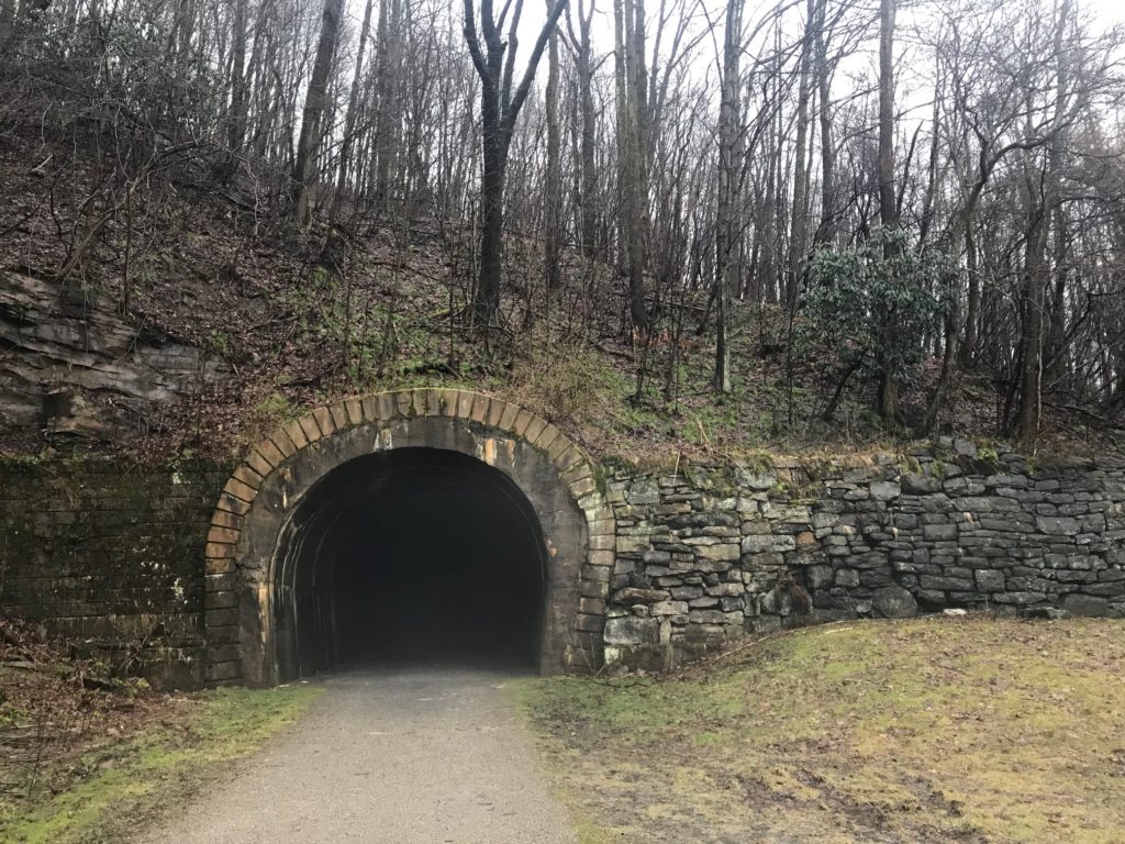
A bridge at the base of the Staple Bend Tunnel
The trail went from decent crushed limestone to less limestone then some grass/mud areas. I was riding my new Trek Domane with 32cc tires and felt comfortable on the surface.
This is an uphill section to the tunnel. As with most photos of hills, this does not capture the grade but it is steeper than it looks.
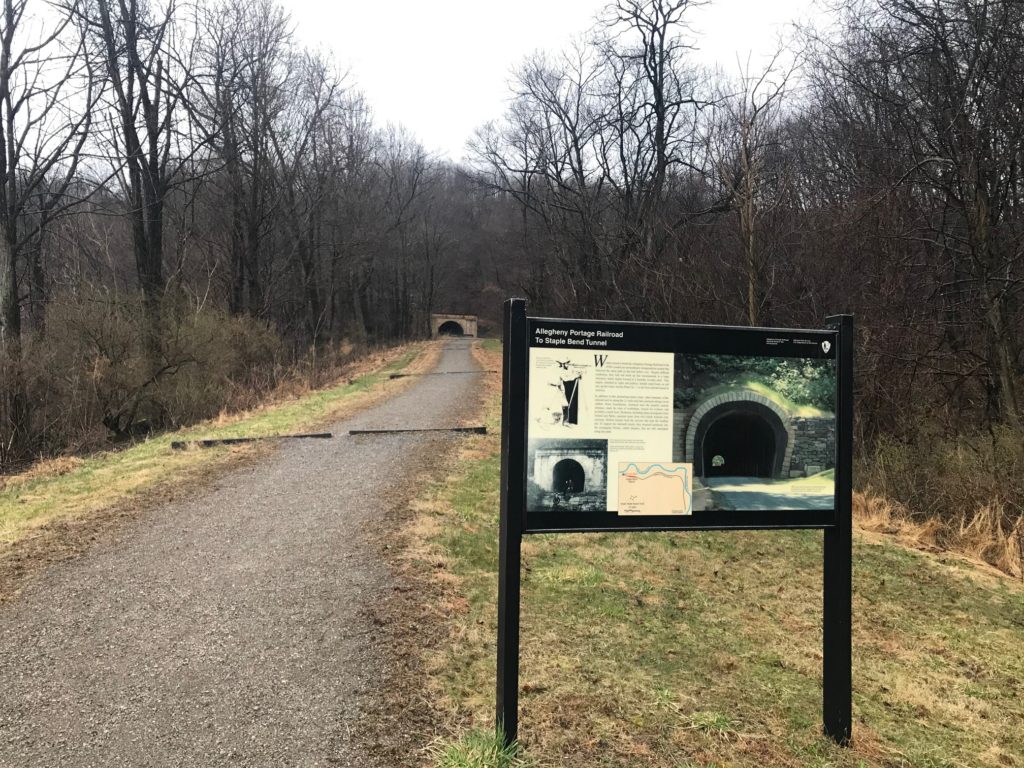
It was only 2.5 miles from start to the Staple Bend Tunnel. I suspect that this was the start/finish of the Allegheny Portage Railroad. The tunnel was the first railroad tunnel in the U.S. (1833). From here would have been an inclined plane that probably went to the river’s edge.
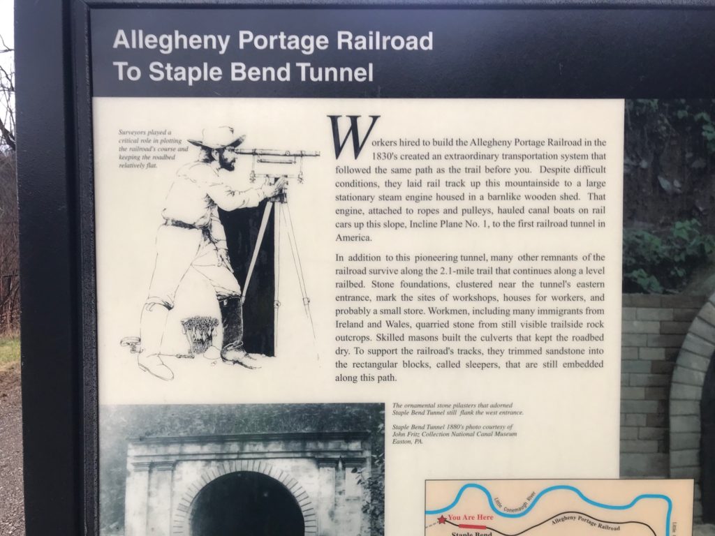
It was here the trail would have been a true “rail-trail” because in this section it followed the path of the Allegheny Portage Railroad. And the surface felt like it. There was the “climb” up to the tunnel. It was probably about 6-7% grade, and while I could ride it, it took me a few steps before I could get going.
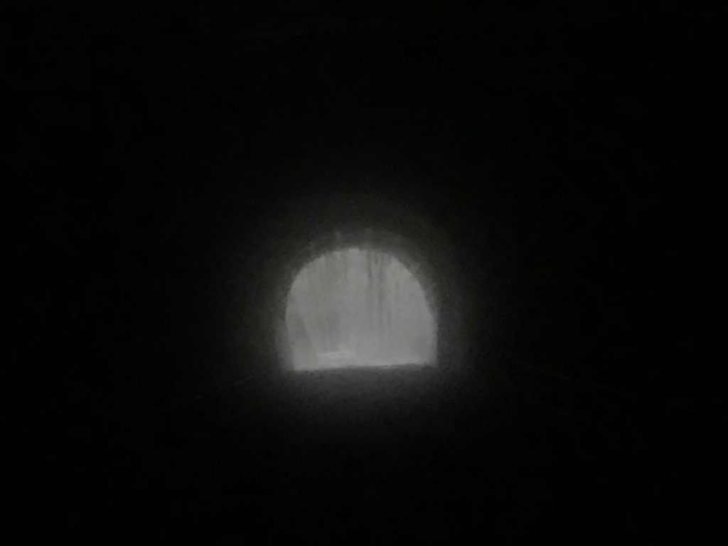
Supposed to see light at the other end. This is the eastern portal of the Staple Bend Tunnel.
I had read that you could go through the tunnel without a flashlight because you can see light at the end of the tunnel. Not today. Pitch black. It was actually pretty frightening looking. I thought that maybe it was closed for the winter and there was a closed door at the other end. But surely there would be a sign at the open end.
There was light at the end of the Staple Bend Tunnel
I decided to try it. I would ride deep into the tunnel and see if I could see. I had a helmet light and a small portable flashlight. I started pedaling and scanned the flashlight back and forth. I made noise, lots of noise. I was fearful there may be an animal or two in the tunnel. At some point, maybe halfway, I could begin to make out some daylight.
Staple Bend Tunnel westbound – much different portal than on the eastern end
As I exited the tunnel, the rain started again, this time heavier. The trail was in pretty good shape, high above the Little Conemaugh River. There was no guard fence and there was a warning to dismount and walk because of the steep dropoff. I did not.
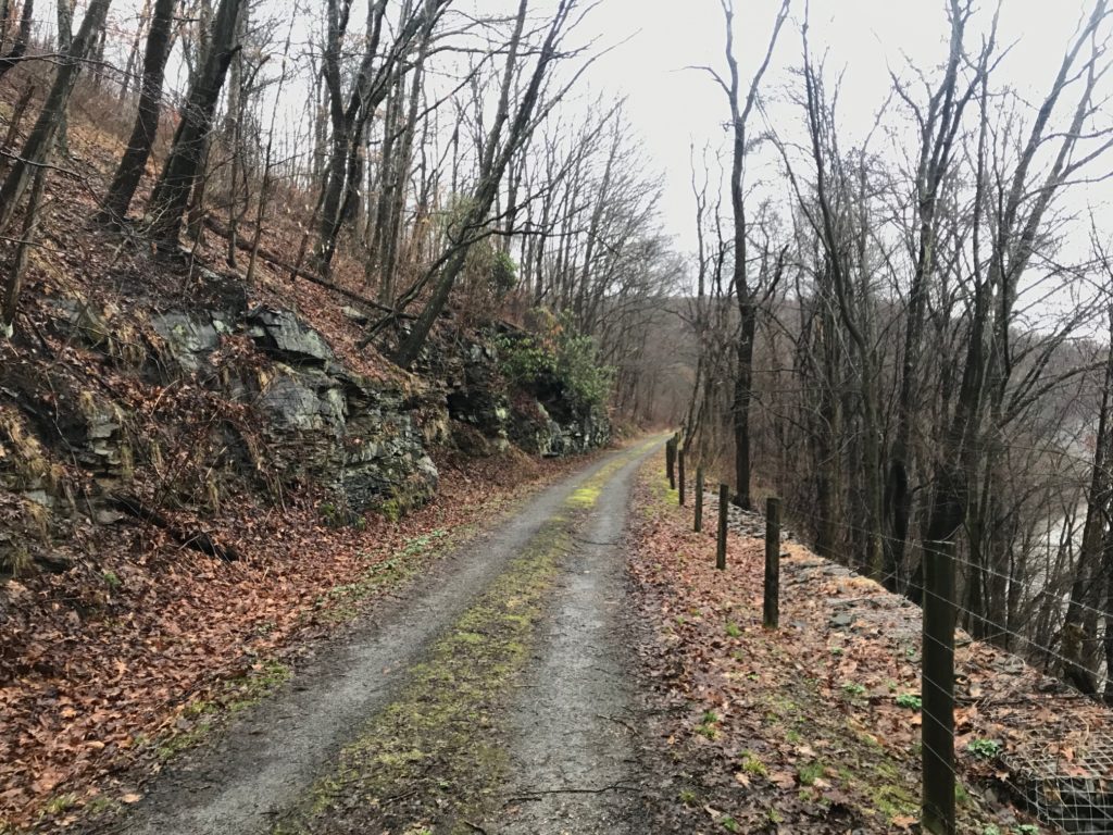
On the left are the stones that were the original trackbed for Allegheny Portage Railroad
At Mineral Point, which was only a little more than a mile from the tunnel, the trail ended. I have no idea with the topography of the land where the Allegheny Portage Railroad would have gone.
But I went, down and under the train tracks and across the bridge into Mineral Point. This town was virtually wiped out in the 1889 flood. Here I picked up the Path of the Flood Trail. The trail climbed on the north side of the river. It was never a hard climb but a gradual one.
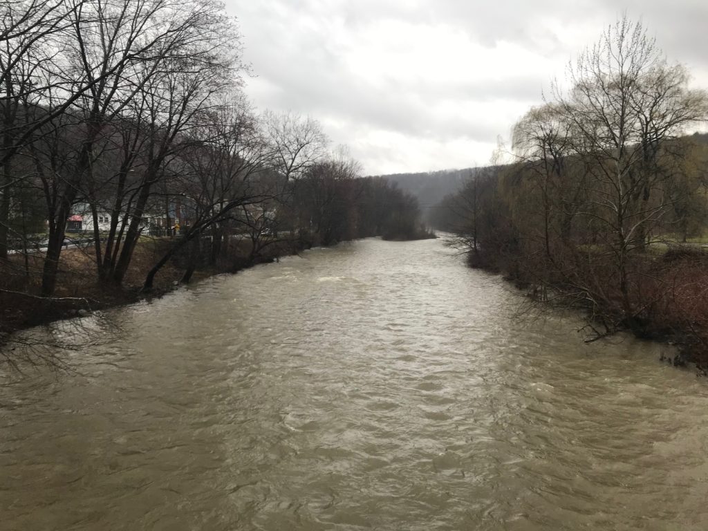
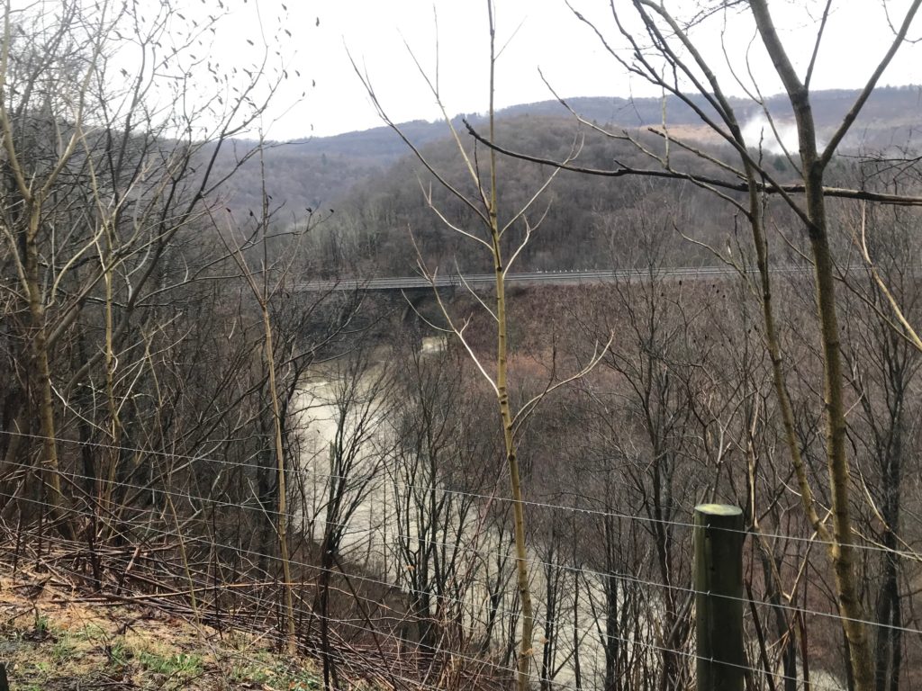
Little Conemaugh River in Mineral Point
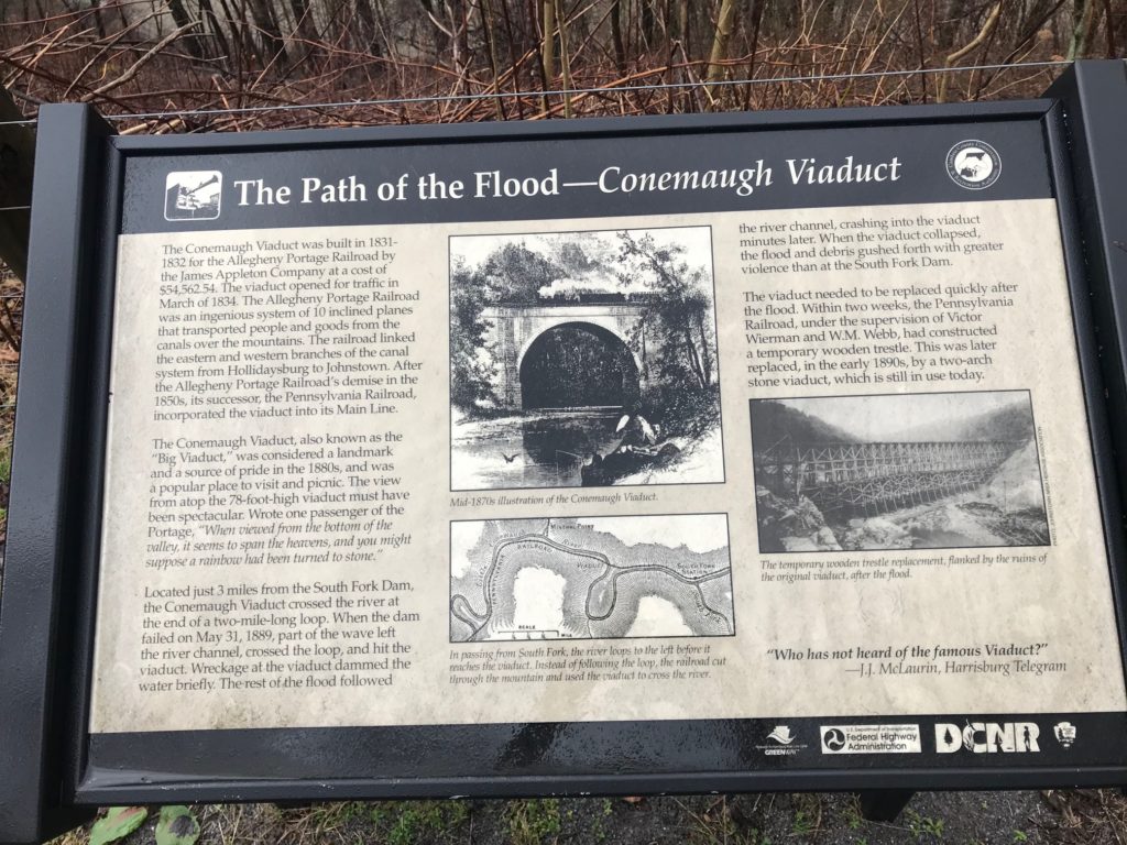
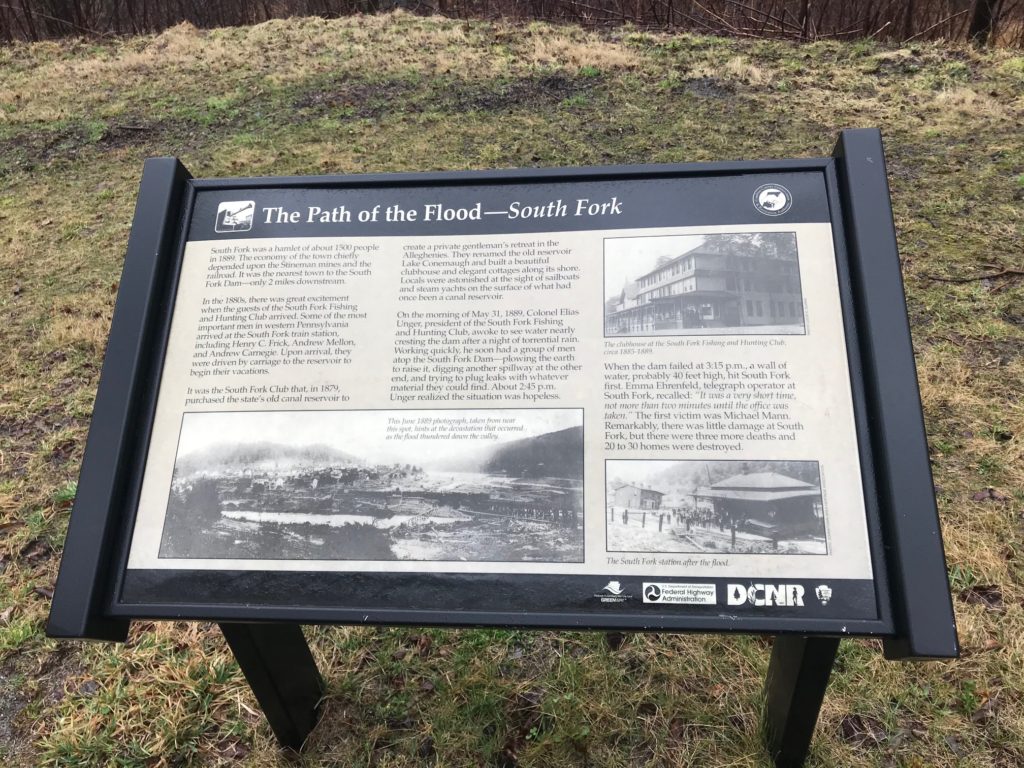
Across the river, I could see the Conemaugh Viaduct. It was a beautiful stone structure in 1889 where the rushing waters forced debris and piled up until the structure collapsed. It was, by some accounts, more forceful than the damn break.
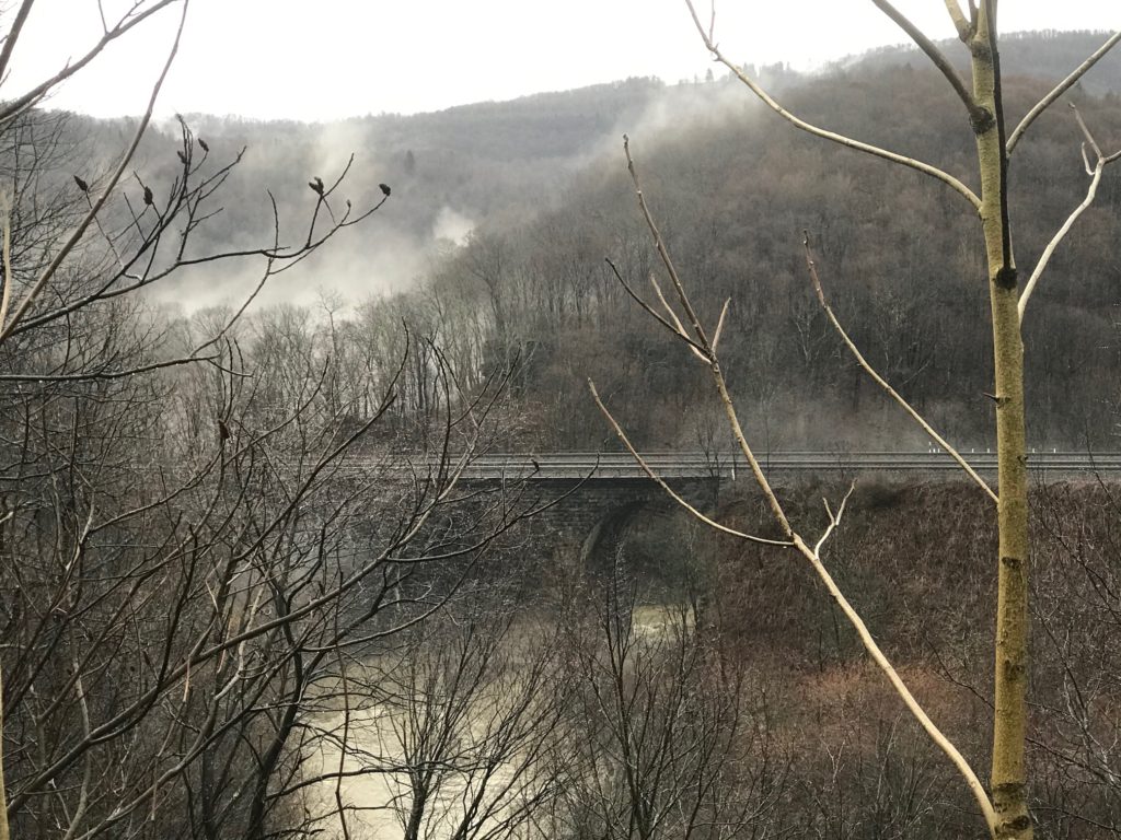
Conemaugh Viaduct
The Pennsylvania Rail Road needed to get trains back in service and amazingly, had a new structure in place within two weeks! A permanent stone structure built in the early 1890s.
Path of the Flood Trail between Mineral Point and South Fork
I got into South Fork and planned on taking the road back. But first, I wanted to continue east towards the remnants of the dam, which I have seen many times. But then heavy rains came. I turned around and decided to head back to the car.
I had gone a little more than two miles when I pulled over to put on my glasses. I couldn’t find them. I had started the day wearing sunglasses, despite the absence of sun, to keep the rain out of my eyes. But they had fogged up and eventually, I tucked them away. They were in my back jacket pocket and now they weren’t. They had fallen out when I got my phone out at the tunnel and I thought they must have fallen out somewhere between the tunnel and South Fork.
At first, I decided to roll on without them. It was raining, and cold. The glasses served me many miles but they were old. My $50 investment would be gone. I went about half a mile farther and decided I would backtrack and I may find the glasses. I knew no one would be on the trail and if they fell out, I would find them. They had white frames, not black, so should be easy to spot. I made the decision I would trace my route to Mineral Point but not the final section through the tunnel as it was pretty rough riding.
On my way back, as I came to the viaduct, the morning fog had lifted and I went for a photo. Then I took the flashlight out of my jacket and put it in my jersey pocket. There wasn’t room. My glasses were in my jersey. Duh! I must have put them there after they fell out of my jacket. They were with me the entire time.
Path of the Flood Trail in Mineral Point
I rolled on to Mineral Point. As I crossed the bridge a geyser of sealant came gushing out of my front tire. I had a leak. I quickly turned around for a slight downhill section to go as fast as I could to rotate the wheel and get the sealant to seal it. It worked. I think.
I started the climb on the road out of Mineral Point. The tubeless tire seemed to have sealed. This road was steep. It was also about 3 1/2 miles. I got to the top, turned right, and began the coast home. I was worried about the tire but it appeared to be holding. I got back to the car and tried to wipe the bike down. I inflated the tire as it was down to 35 psi (from 80) I put it back to 80 and it appeared to hold. I drove through Johnstown on my way to a bike shop. Then I heard the tire. It was leaking again. A not so good ending to a wet and otherwise, perfect, day.
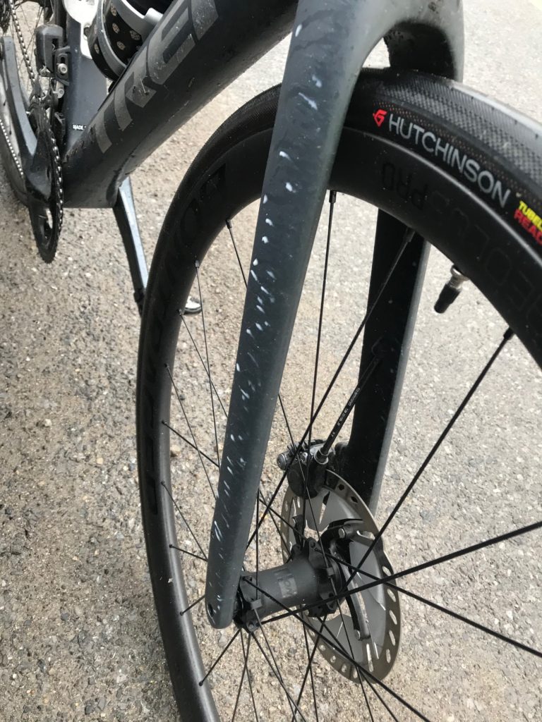
Got a bath in sealant
EDIT/EPILOGUE – The great tubeless experiment 2020 lasted little more than a month. I needed to get a repair fast and City Cycles in Johnstown was closed – forced closed by the governor. I called Paul McIntyre, in Pittsburgh. Paul had been my go-to mechanic in Reston before moving to Pittsburgh. Their bike shop was also forced to close but Paul met me in a dark alley in Pittsburgh and we repaired the tire so I could ride another day.
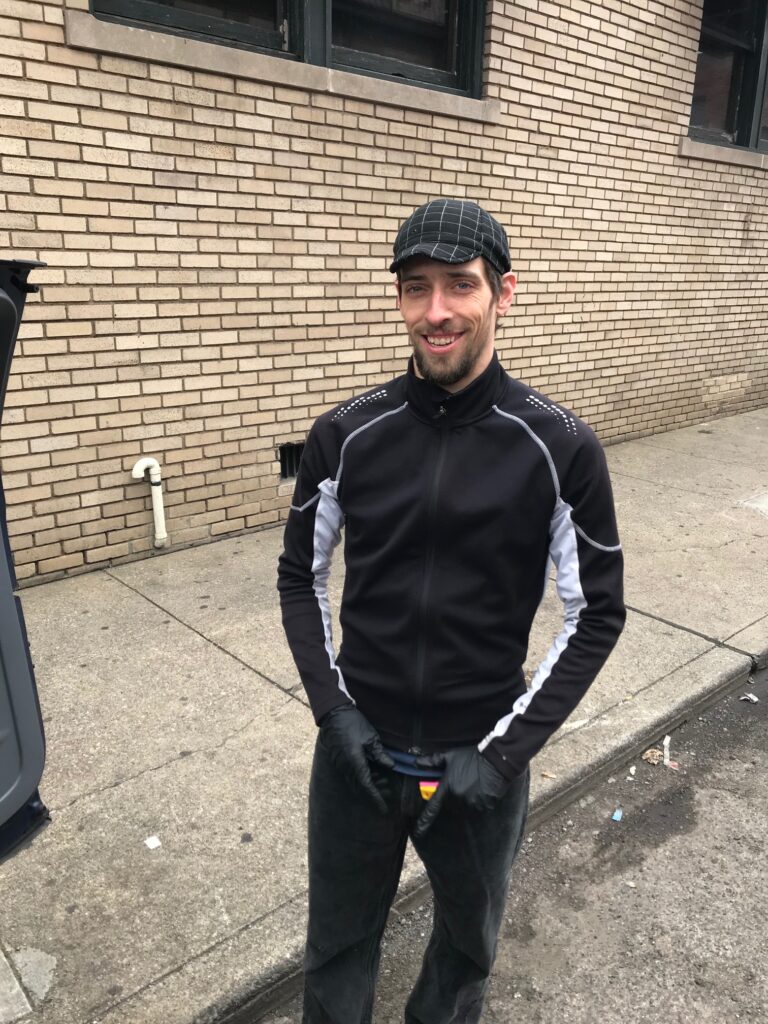
Paul McIntyre – Not doing a bike repair in a back alley in Pittsburgh which was illegal according to the Pa. Governor.
Recent Comments