Rappahannock Rough Ride
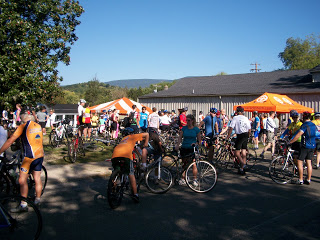
The Rappahannock Rough Ride took place on back country roads out of Washington, Va.
Civil War Century
Civil War Century. One of the best 100-mile rides in the mid Atlantic.
10,000 Miles
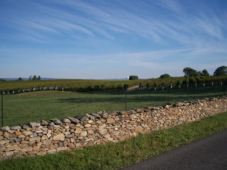
An easy ride out of Warrenton and my odometer showed that I went over 10,000 miles on my Trek Pilot
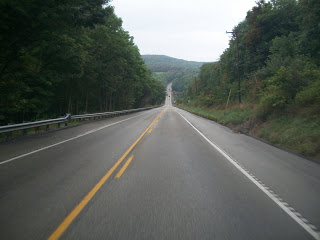
Just 16 Miles in Virginia
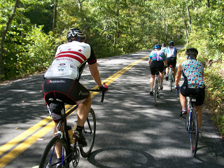
It only took 16 miles back in Virginia before encountering road rage
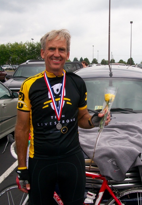
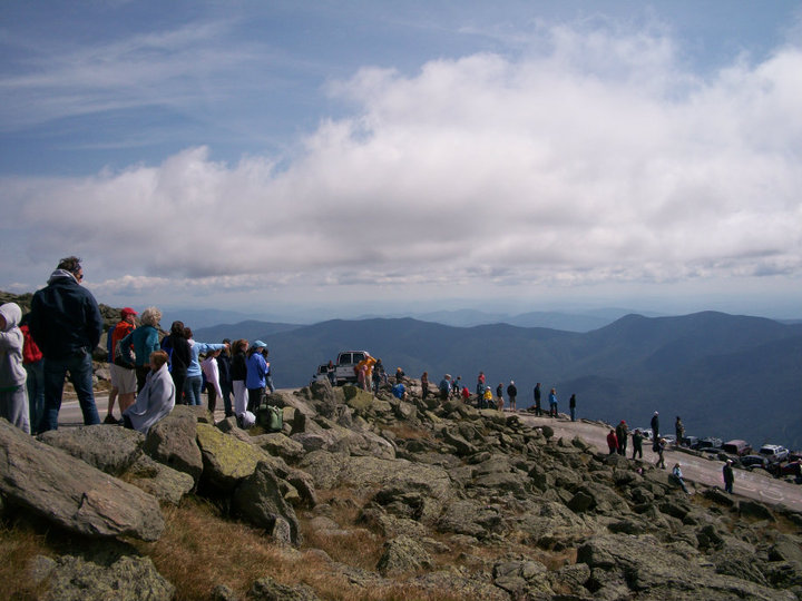
King of the Mountains – Men’s Division

Racing David on a hillclimb, we were smoked by a young woman riding with us
Recent Comments