A Birthday Bonk
The author went for a ride but it was too hot and no water. Classic bonk.
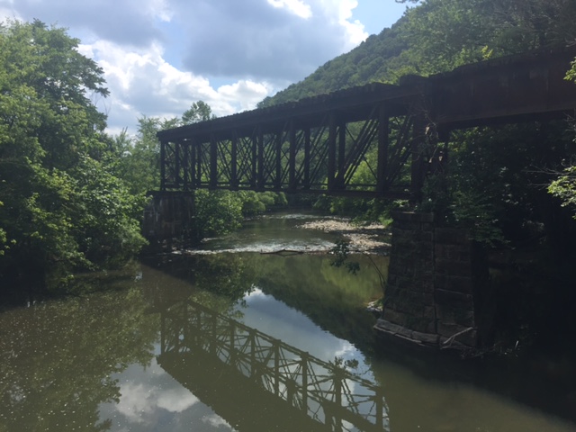
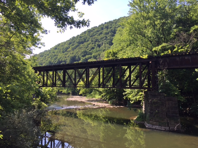
Swinging Bridge
HOLLIDAYSBURG, PENNSYLVANIA I enjoyed the MS-150 route so much I decided I would do much of it in a one day ride. Rather than go south down around Locke Mountain to Roaring Spring, I would head up and over Locke Mountain. It would add a hard climb and save some miles. I met Rocky Sprow […]
Keystone MS-150
HOLLIDAYSBURG, PENNSYLVANIA This was a two-day event held July 23-24. The route was from Hollidaysburg to Penn State University as the official meeting site was the Penn Stater Hotel. We rolled out at 7:00 a.m. in waves. I was in the third wave. The first mile or two was sorting out faster from slower riders […]
The Wall
ALTOONA, PENNSYLVANIA It was June, 2008, when I first rode “The Wall” in Altoona. I knew it was special then and in 2009, it became my “escape from cancer” place to ride. I have ridden it in spring, summer, and winter – but not fall. Interesting. We had been planning for Jacob’s Hero Ride, a […]
Wind and a Hillclimb

ALTOONA, PENNSYLVANIA If January was cold (it was) and February was worse (it was), March has been brutal. I rode few miles outside on the bike because weekly there seemed to be a new snow storm. Today I drove to see my nephew, Parker Sherry, play in the Pennsylvania High School hockey championship at Penn […]
Blue Knob in the Rain
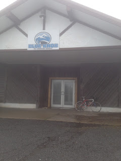
Climb up to Blue Knob Ski Resort from Pavia. Halfway up the skies opened up. Miserable downpour. Treacherous descending.
Recent Comments