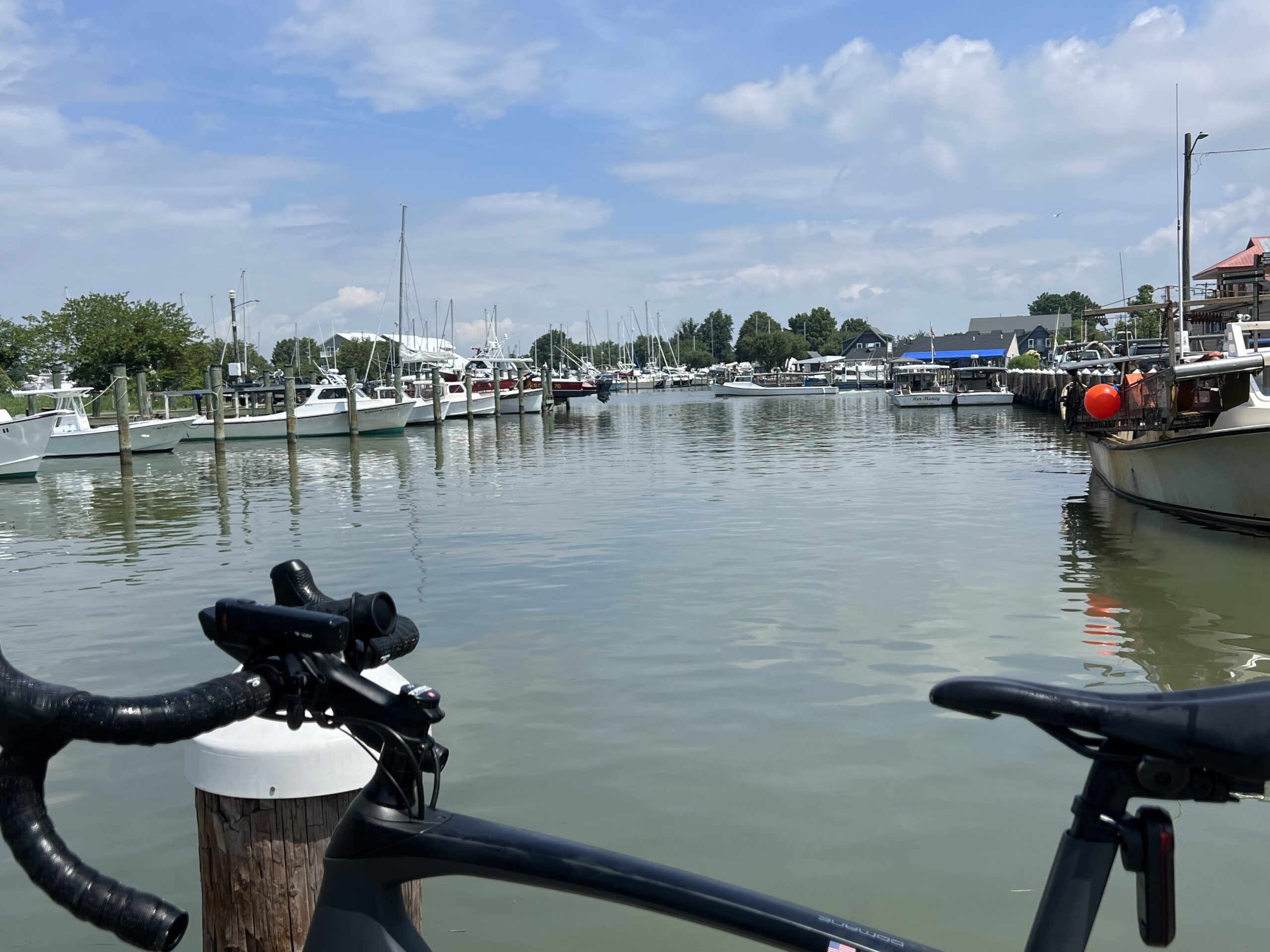
Saint Michaels – Part 2 barrysherry August 9, 2022 0 Comments I liked this ride so much I came back. I really enjoy the Oxford-Bellevue Ferry. Read MoreRead More
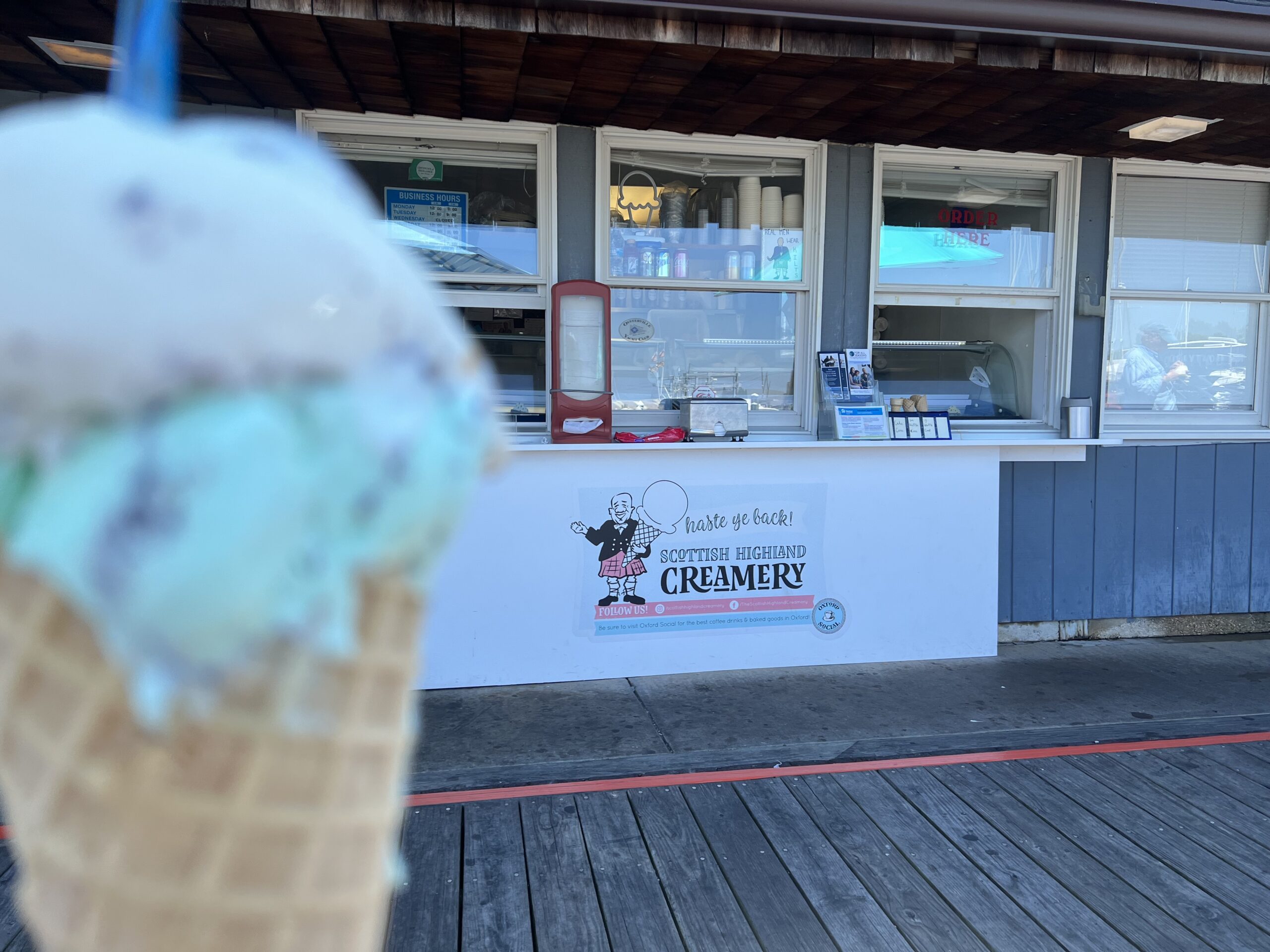
Saint Michaels barrysherry July 27, 2022 0 Comments Waited 50 miles for an ice cream – and they were closed Read MoreRead More
Recent Comments