Loveland Pass and Golden

GOLDEN, COLORADO
DAY 6 – RIDE THE ROCKIES
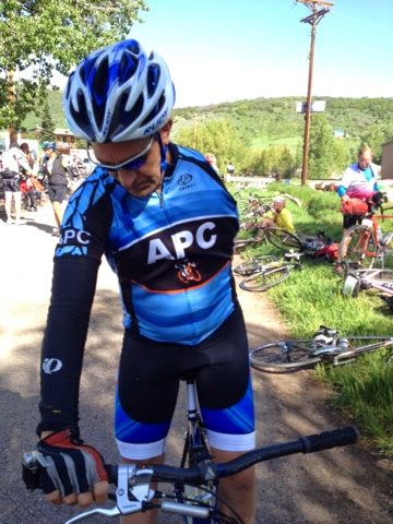
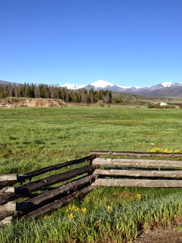
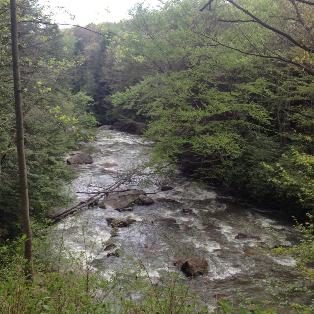
I rolled through downtown Breckenridge at 6:45 a.m. It was still quite chilly. Cold, actually. We took the trail out that we had ridden in on yesterday. Those last ten miles of “flat” that I struggled with so much yesterday? I coasted the whole way today. I struggled because I was going uphill yesterday. Glad to know the reason I sucked was because it was uphill.
Swan Mountain


I was expecting a climb to Loveland Pass but we first began with a climb up Swan Mountain. Nice little warm up. As we were climbing someone in a Jeep screamed “asshole” among other things. It was the only road rage I witnessed in Colorado.
And what goes up must come down. We descended over the top to about the same elevation we started from. The ride down was nice but I knew that meant we had to climb again. I’d prefer to start climbing and keep climbing.
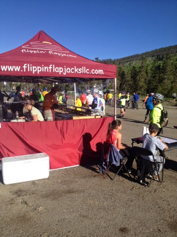
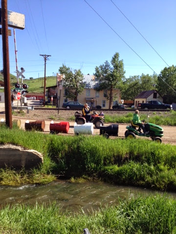
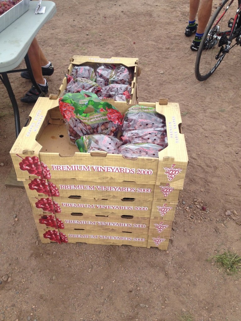
Still haven’t tried these but very popular on Ride The Rockies

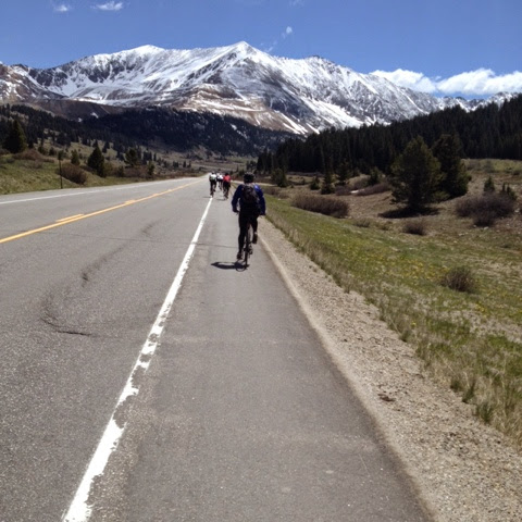
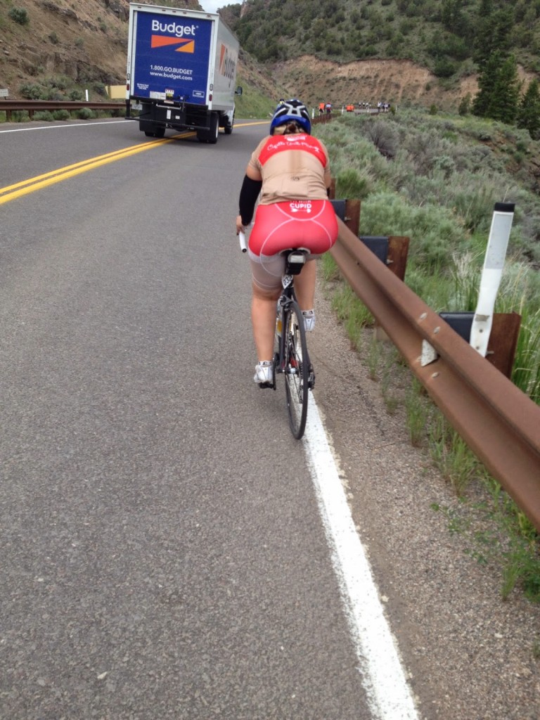
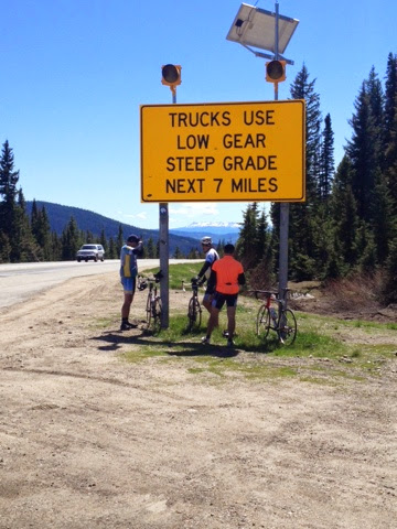
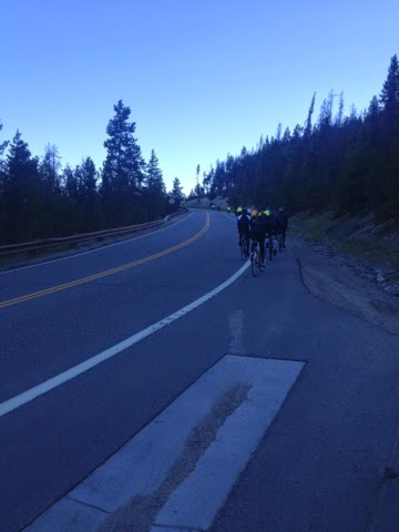
I was and I wasn’t looking forward to today. I really wanted to get the climb over with and coast to Golden. I rolled out of the first aid station not sure how far it was to the summit. Roadside signs warned no vehicular traffic except for Hazmat trucks. (This was the Hazmat route to avoid the Eisenhower Tunnel on I-70.) We otherwise had the road to ourselves. As we climbed higher I saw some trucks had been pulled over for staging an escorted convoy.

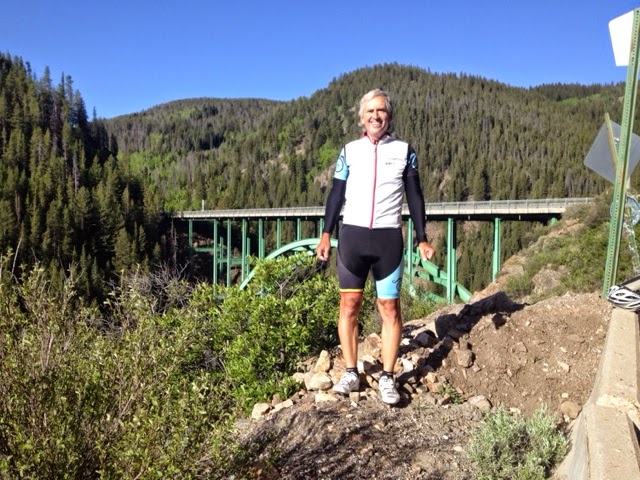
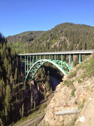
Upper Section of Loveland Pass

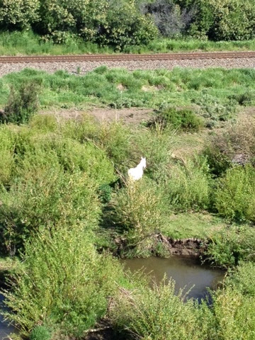
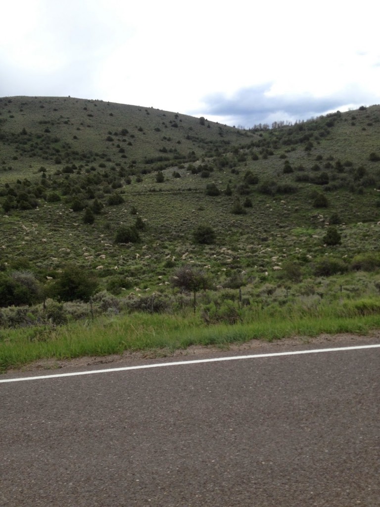
I kept my heart rate low all day just pedaling within myself. The climb wasn’t particularly difficult, a lot of 6-7% grade, but it was long. Passing the A Basin there were skiers on the slopes.

Skiing at A Basin

I reached the top of the climb and immediately joined the line for a picture at the summit.  That took 15 minutes.

Made it to the top

The descent was beautiful with gorgeous vistas and sweeping curves. I did not bomb this part but at the bottom was Loveland Ski Area. As I made the turn there was yet a downhill ramp. I tucked and hit 51 mph before having to brake hard for the second rest stop.
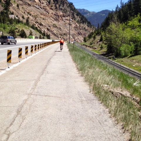
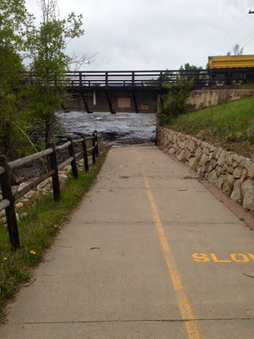
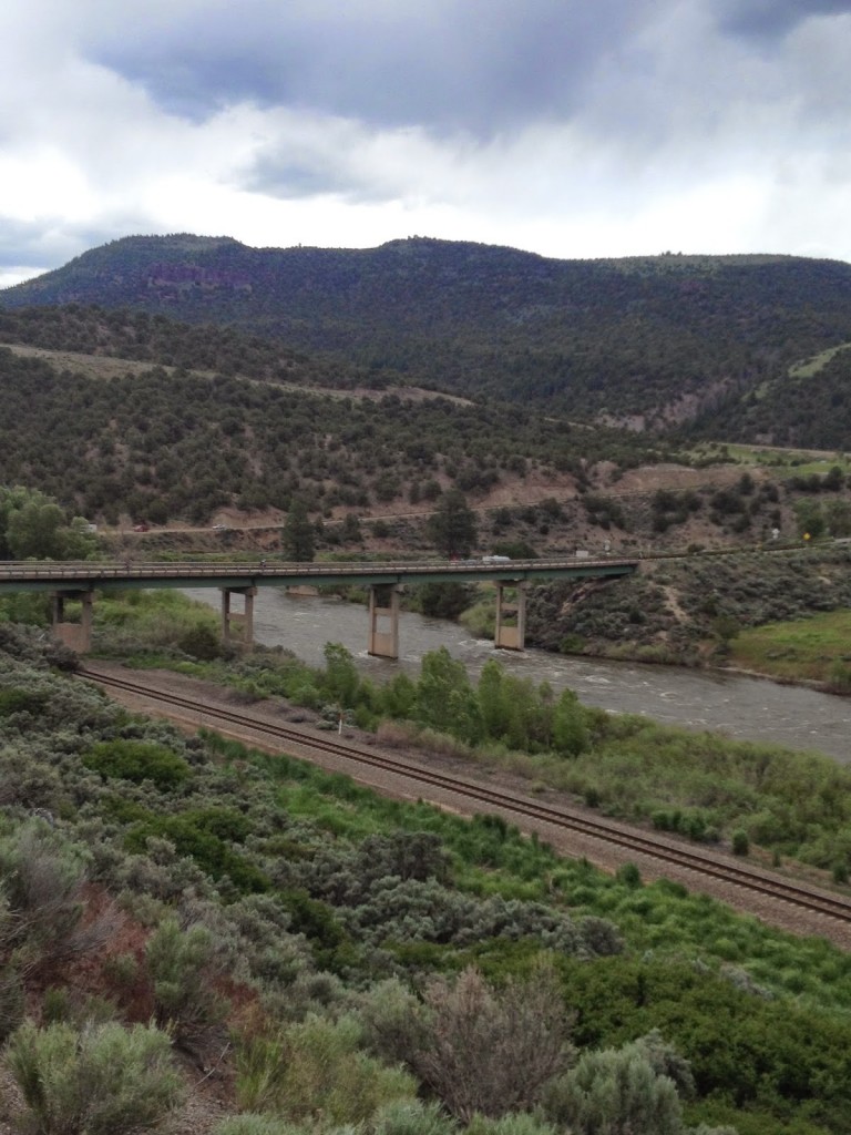
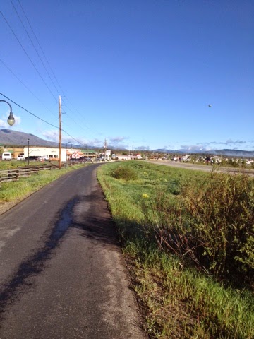
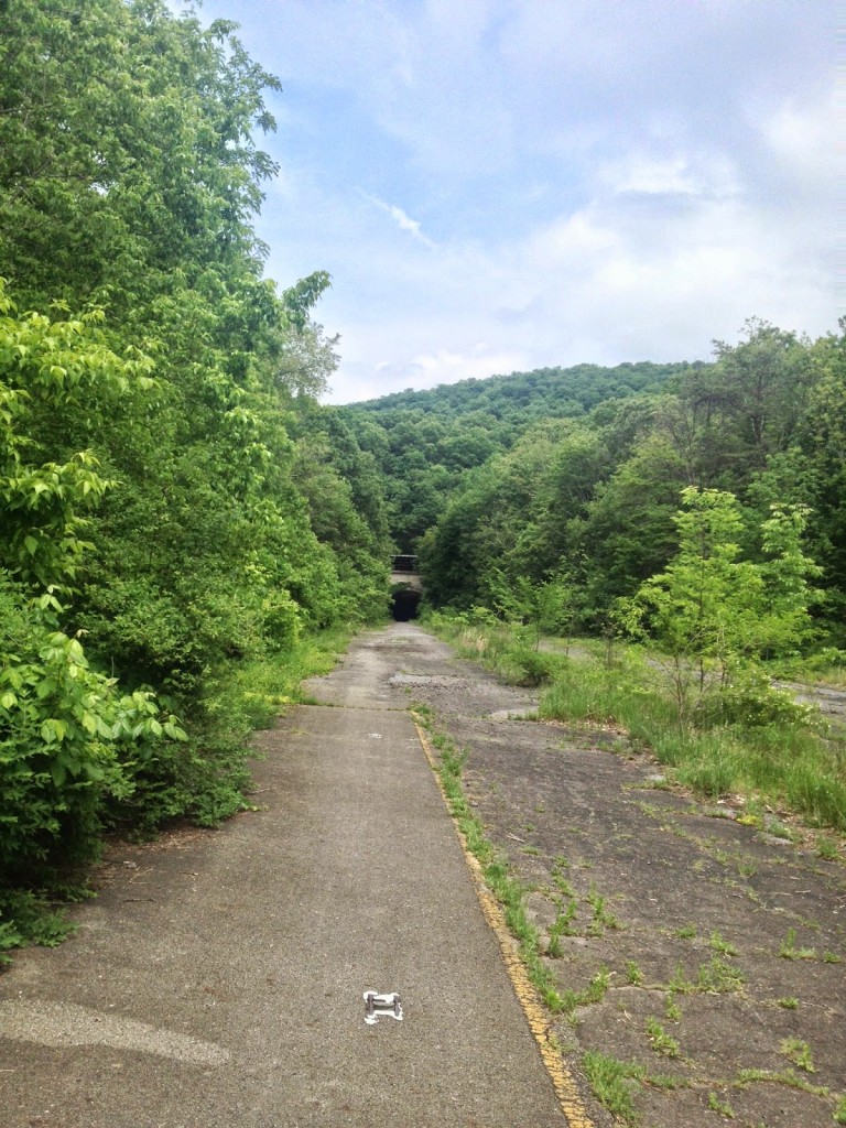
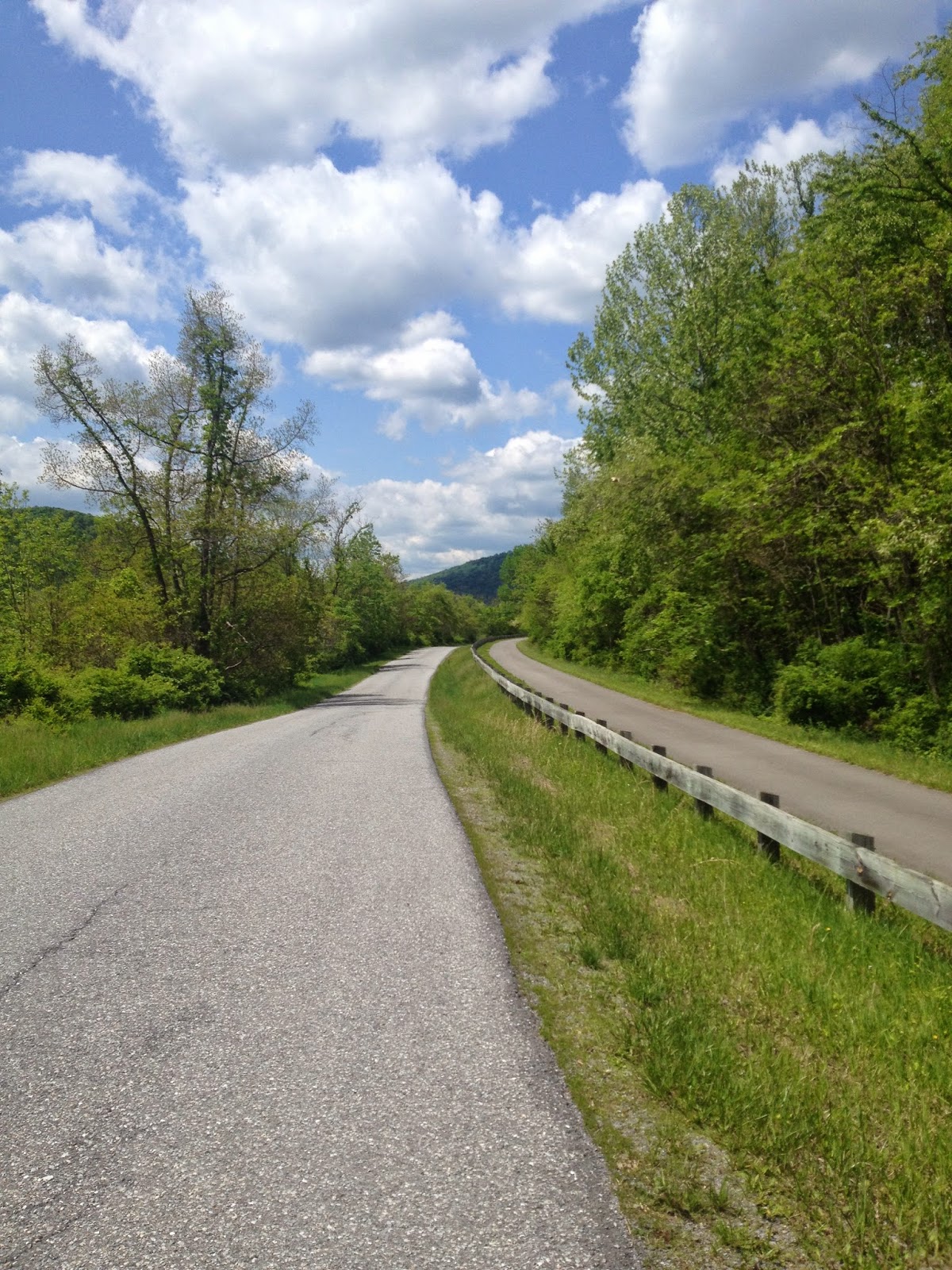
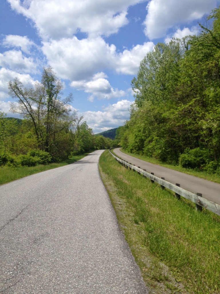
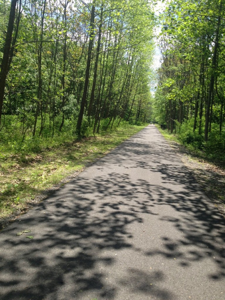
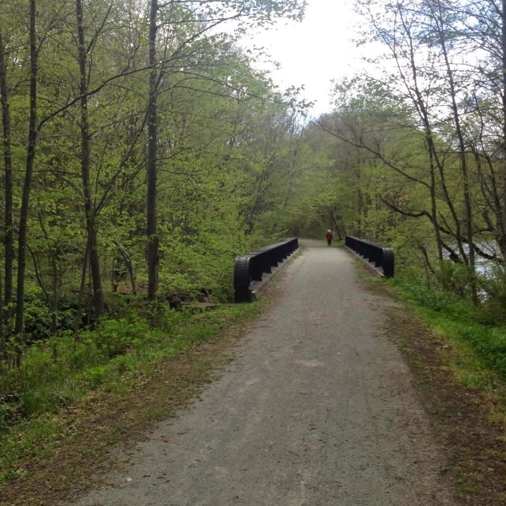
Trail next to I-70

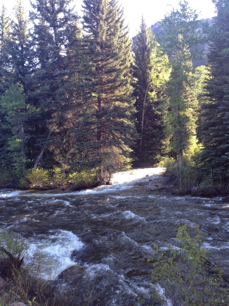
We were next to I-70 but had a separate bike path through the woods. I could coast comfortably and safely at 30 mph down to Georgetown. It was gorgeous in the woods and some pines had recently been cut giving it a great aroma. But the path ended and we again shared a road, also downhill.

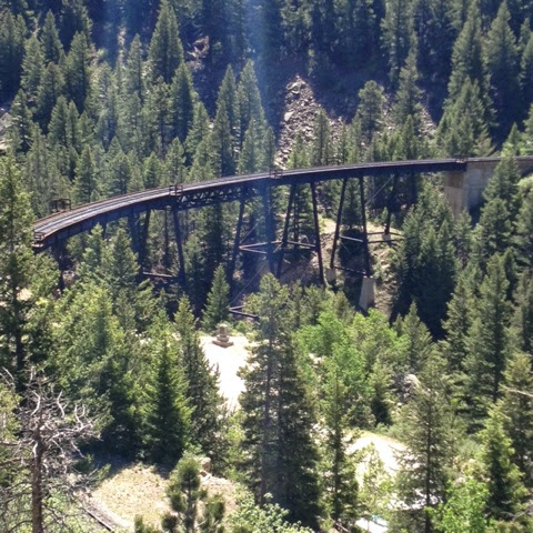
Trestle for Georgetown Loop Railroad

Believing the ride was entirely downhill to Golden and ignoring those spikes on the profile map, we had a rest stop in Idaho Springs. Shortly out of Idaho Springs we climbed Floyd  Hill which was a two mile 8-9% pain-in-the-butt climb. I saw many people walking, perhaps a combination of tired legs and heat. My Garmin was showing 99 degrees coming off the pavement. It was the first time we dealt with heat the entire week.

After a nice respite of downhill we began another climb towards Lookout Mountain. Here we entered and rode on I-70 for two exits. That was an experience. Once we exited we had some rollers over to Buffalo Bill’s grave site and Lookout Mountain. And a needed water break.
Leaving the stop at Buffalo Bills it was all downhill to Golden. This time that was the truth. Steep. Hairpin corners. Two guys passed me and I let them go. I remember Wayne Stetina telling me last year that he never bombs a descent he hasn’t seen before. I figured they had ridden it before but I wasn’t taking any chances. All downhill to the finish in Golden. Plus, I was stuck behind a car most of the way and didn’t want to be “that guy” who passed a car with a double yellow line.
Golden from Lookout Mountain
 Whereas last year I met four pros, this year I didn’t meet any. But I enjoyed the company of Mike with one arm, met interesting characters along the way like the two “chicks” on Tennessee Pass ringing cowbells, and saw the staff from the Davis Phinney Foundation. It was a very good week.
Golden. The End.

EPILOGUE – Arriving Golden I parked my bike and enjoyed a Smoothie. I attended the closing ceremonies and did not win a bike or anything else. Without transportation to the hotel, and why I didn’t find a hotel in Golden I do not know, I called Yellow Cab of Boulder. I was promised a cab would arrive in 20 minutes.

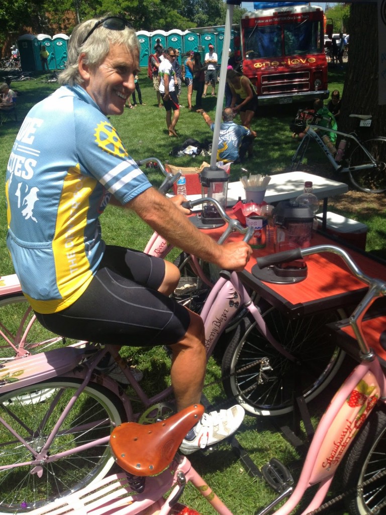
Pedal Your Own Smoothie

As I was gathering up my bike to meet the cab I noticed a couple eying my bike. They saw the FUCANCER sticker and asked if I knew Jan Stover from Virginia. I did. We had a pleasant conversation and they stated they would take me to my hotel “except I have a bike.” The wheels come off. I can make it small. Oh well…

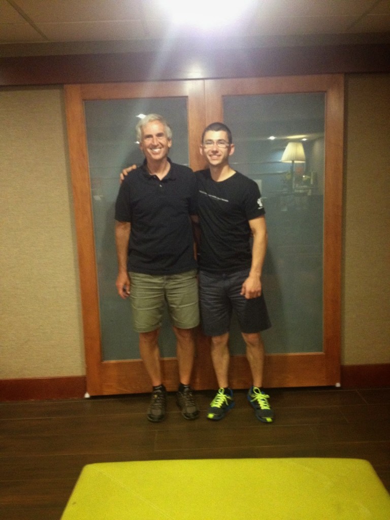
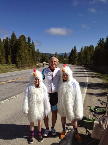
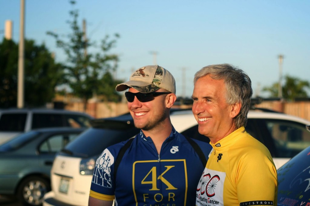
Barry with Brad Allen

One hour later. Two hours later. No cab. I called each hour only to be promised one was on its way. The first call was at 3:20. By 5:15 p.m. I called Bradley Allen in Boulder and he said he would be there within the hour. The 4K alumni are awesome. He came, took me to Westminster and we enjoyed a nice dinner. It was a great way to end the official week of Ride the Rockies.

By 6:20, three hours after I called, the cab never showed. I would never call Yellow Cab of Boulder for anything.

Two Cute Chicks

BRECKENRIDGE, COLORADO

DAY 5 – RIDE THE ROCKIES

AVON TO BRECKENRIDGE

Leaving the Comfort Inn I found myself with Mike, an amputee who ride with one arm. Mike is apparently a legend in Denver cycling. He is a strong climber. We stayed together for about a quarter of a mile when we got to the traffic circle and I peeled off to take a photo. This would save face much easier then actually being, you know, dropped.

Avon CO

It was a 16 mile climb to the first pass, Battle Mountain (9,231′) but only the real climb was the last four miles. My legs felt good on the climb and I passed way people more than passed me. I even reached  the top then descended back a little to try to get a good photo op.

Descending to Red Cliff Bridge I had a little too much speed coming on it to stop to take a photo before the bridge. But at the bridge is a road that descends along the edge of the gorge to the town of Red Cliff. I told the volunteer standing there “I bet there’s a photo op waiting down that road.” I went down it a few hundred yards and when I was down he came down to shoot me too. Right after the bridge was Aid Station #1. I kept going.

Red Cliff Bridge

After the aid station was 12 more miles of climb to Tennessee Pass (10,424′) and the winds picked up significantly. We seemed to be creeping down in the valley and I stopped at a “Point of Interest” which was a World War II Winter Training Camp for the U.S. Army.

Eagle River near Avon

Seeing the sign for the summit the road kicked up significantly. Like the first climb, my legs felt pretty good. I passed a woman I thought was Lisa Smith, who I had met earlier, but it wasn’t. She was struggling a little and I encouraged her with “one mile to go.”

Then with about 1/2 mile to go the real Lisa caught me. I thought she’d blow right by me, she is a tremendous climber, but we stayed together until the summit. I stopped to use the porta-john and visit the Davis Phinney Foundation. Lisa kept on going.

Lisa Smith

Ringing cow bells were two kids dressed as chickens. And I have seen them on the USA Pro Cycling Challenge. So I grabbed a photo with them then after rest stop. Then it was off for Leadville.

Barry and Two Cute Chicks

We were promised an 11 mile downhill. It wasn’t. But it was mostly easy pedaling. As I came upon a T and a turn to the left I saw signs for Leadville to the right. After talking with a State Highway Patrolman, he encouraged me to ride into town. He told me how rough a place it was. Gambling, drinking. “Still is,” he said.

Leadville

I met two local cyclists and told them I had five minutes to see Leadville. I asked them what I should do. They told me to turn around. They called it Deadville. But I continued on and was glad I did.

Leadville

I was leaving the rest stop when Roger and Jeanie Schultz pulled in. I told them their friend, Lisa, was well up the road.

It was 11 miles to the summit of Freemont Pass (11,318′). It seemed to be a long 11 miles and the first five miles was flat or trended downhill. Or I was seeing things. My legs no longer felt so good. Still, I worked my way past more people than passed me then saw a sign for the summit in four miles. The road kicked up in grade, a lot of 4-5% grade.

Climbing towards Freemont Pass

I passed a young lady riding a road bike with a straight handlebar. Or maybe she was on a mountain bike with skinny tires. She was easy to remember. I was struggling somewhat and about two miles from the summit she passed me.

As she passed I had no response – not that this was a race and I had to match her. She continued on. So too did a doctor I had passed earlier. He had a tag which stated MD and I thought he was from Maryland. Duh!

The last mile and one half or so before the big switchback features a long straight section which, to my eyes, looked like it was going downhill. My legs didn’t think so and my Garmin confirmed it was 3-4 % grade. That was followed by a sharp left hander and one could see the cyclists struggling up the road ahead to the summit.

Rounding the corner the road kicked up to 6-7%, maybe more. And I soon passed the doctor. And because she was identifiable, the girl on the straight handlebar bike, my goal was to pass her. She was 200 yards, then 150, then 100 yards from me. I picked up my pace and with 150 yards before the summit I went flying by. Dignity remained intact.

Summit of Freemont Pass, aka Climax, Colorado

At the top was Aid Station #4, this one featuring the Ride the Rockies DJ. I bought a brat and sat down by an old mine train to eat it. It was the first time I bought food on course.This was also the best weather we would have all day. In the 70s at the 11,000′ summit.

The Official Summit Sign

The descent wasn’t necessarily steep at the top. In fact, there were a couple of slight uphill sections before the real descent began. Frustrated because I had not gone more than 45 mph on this tour, I was glad to have open road. Most cyclists were riding the shoulder and I moved into the travel lane which was smoother and absent road dirt and sand. I did not want to risk an accident moving at speed from shoulder to lane.

Ice on the lake at the top of Freemont Pass

I’m not sure what it was signed – maybe seven miles at 7% – but I got in a tuck and kept picking up speed. When I saw 52 mph I thought that was fast enough. I feathered the brakes a little to keep it near 50 mph.

I FLEW by riders on their descent. I’m sure all were surprised and I’d like to be riding about 35 mph when someone is going 52 mph just to see how it looks. When passing I always moved more to the center of the lane even though they were on the shoulders.

52.1 mph

At the bottom the road intersected with I-70. But there is a separate bike road (more than a path, really), in which we rode downhill to Frisco. This was a great path alongside the river with many beaver dams, a few flooding our roadway.

Flooded path from beaver dams on both side

With just seven miles to go (I think it was longer), I blew by the last aid station and continued to Breckenridge. The trail became dead flat. And windy. This was my hardest section of the day. But we made it to the bike corral and got directions to the Doubletree Hotel.

At dinner I walked through town and chose the Kenosha Steakhouse which has a patio overlooking the Blue River in back. The waiter asked if I wanted to sit out on the deck and I told him I had been fighting the wind enough today. I’d stay inside.

Steamboat Loop

STEAMBOAT SPRINGS, COLORADO

DAY 3 – RIDE THE ROCKIES

This was a first for me on a Ride to Rockies trip – two nights in the same town with a loop ride back to start. On paper, this would be the easiest day of all and it looked that way. On paper. No named passes or mountains. But it wasn’t that easy.

Near Steamboat Springs

Rolling out of Steamboat Springs the route went through some ranch country. Here “rollers” aren’t the ups and downs that they are back east but three to four miles up followed by three to four miles of downs.

Oak Creek CO

At the first stop in Oak Creek, I met an amputee, Mike, who lost his left arm at his shoulder. He was kind enough to show me his bike. One brake level controls both brakes with a device called a problem solver. He has straight handlebars with mountain bike type shifters (levers), He is a strong climber as I found out. And a fearful descender as braking with one hand and not fully being able to balance completely at high speeds, he “creeps” down the mountain no faster than 20 mph.

Mike

I flew by him on a descent and waited at the bottom as he passed by. A climb began immediately. I had to let some other riders pass and then I started the climb. He was perhaps 150 meters in front of me and I thought that I would bring him back. I didn’t. He increased that as we climbed. Well done Mike!

My bike started creaking under heavy duress (climbs). Each pedal stroke brought a groan from her and people could hear me pedaling. It was annoying. At the second rest stop I took my bike to Wheat Ridge Cyclery. The mechanic agreed with me it was probably a dirty bottom bracket and spent about 15 minutes cleaning it.

As I rolled out of the rest stop we began an immediate and serious climb. And it creaked even louder. I made it to the summit of the first climb, hit another awesome descent then began the big climb. This had sections of 11-12% grade and put many riders in difficulty. Most were used to the constant 6-7% grades but not something this steep.

White Horse on the range

I pulled over and thought maybe the noise wasn’t from the bottom bracket but from the rear wheel. I took it off, put it back on with force, and the creaking went away for the rest of the day. At least I got my bottom bracket cleaned.

Beautiful bike path along and in the Yampa River in Steamboat Springs

Descending into Steamboat Springs we rode along a beautiful but flooded Yampa River Core Trail. Passing through downtown, just as we were to return to the main RTR area, the winds kicked up and it looked like a storm was brewing. I opted to head back to the hotel but not before a quick stop at Wendy’s. 

F. M. Light and Sons
You see signs for this all the way here

There I met a 70 year-old man who came to Ride the Rockies from Gallup, New Mexico. By bike. Quite impressive. I had seen him last year and wondered if he was part of RTR. He was.

70 years old and still pedaling strong

It was a day that many riders opted to use as a rest day. I was here to ride and so was this 70 year-old.

Ding Dong Avon Calling

AVON, COLORADO

DAY 4 – RIDE THE ROCKIES

STEAMBOAT SPRINGS TO AVON


Leaving Steamboat Springs

It was a bit chilly as I rolled out of Steamboat Springs. Then again, these are the mountains and the mornings are cool. I found the bike path and took it to the route. Once one the road, the same as we rode yesterday in our loop, I was enjoying solo time when a massive group rolled by.

Unlike last year, this year’s route was not conducive to forming pace lines. Even if one formed I said I wasn’t going to ride in one. Then I foolishly jumped in. Included in the group was a Wounded Warrior with no arms and a butt brake. We were rolling. I averaged 1.5 mph faster on the road to Oak Creek – the same place we rode through yesterday.

Steamboat Springs Visitor Center

This wasn’t a true pace line. It was just a large group with the same people pulling and a bunch of wheel suckers. Me. Not knowing the skills of the riders I decided to drop off, did, then soon found myself on the back of the group again. But it broke up completely with a little climb to Oak Creek.

Oak Creek Miners Museum
Miners Wall

After the first rest station, I met Lisa Smith for the second time in the week. She introduced me to her friends Roger and Jeanie Schultz. I rode for about one minute before dropping for a photo op. After the picture I caught back up to Roger and rode with him and Jeanie to rest stop 2. Roger asked if I was glad to drop and not try to stay with Lisa. He may have been right.

Finger Rock

At Finger Rock I dropped again, only to rejoin and enjoy our conversation. That would last to the next stop and I would not see them again the rest of the day.

And you thought you had a dandelion problem
We had been enjoying the benefits of an awesome tail wind but it turned into a head wind when the road turned. I rode the climb and descent solo, passing many on the descent. I am either a dumb descender or fearless but it is one advantage I seem to have on 95% of the riders here. I go down hills well.

I stopped at the third rest area, ate some grapes, didn’t see anyone I knew, and then moved on.

Made me giggle. Probably had said Poor and
someone made an editorial change

I hadn’t gone very far when I saw and stopped at a tiny post office and talked with the postmaster. She said things have really gotten bad in the last two years. Glad I retired.

Tiny Post Office
Bond, CO

I saw a bridge ahead and because of the warning sign knew it was State Bridge but was disappointed. I was hoping for something very majestic. It was just a bridge.

State Bridge CO
Colorado River

On the climb up the pass from State Bridge I first was talking to a young lady riding for the Children’s Tumor Foundation. She was wearing a riding kit made to look like lingerie. Cute.

Children’s Tumor Foundation

I also got a demerit from the Colorado State Police for not riding single file. Oops. I ended up pacing a medic, Lori, up the climb. I met her last year and she remembered me. The policeman simply pointed to climb single file.

Sheep. Lots of sheep.

We had another nice descent to bomb although both had winds around 30 mph making 50 mph impossible. The wind both held me back and made it a bit dangerous trying to control the bike at high speed.

Leaving the fourth rest stop I was again riding alone until four riders passed me. I jumped on their wheels and as we passed a young lady struggling I motioned for her to follow me. She did. When I bailed at a stop light and stopped at a convenience store for a Cliff Bar she said she was really struggling until I invited her to ride along. She was right. The last 10 miles did rise, albeit at 2-3%, it was just enough to drag one down.

Just an entrance to a Golf Club
Eagle Springs Golf Club

At the end we were met by young ladies in baker”s uniforms with freshly baked chocolate chip cookies. What a way to end a ride. And I didn’t take a picture.

Credit: Ziggy

But Ziggy Emme did.

Eagle River

Farther Than I Thought

STEAMBOAT SPRINGS,
COLORADO
DAY 2 – RIDE THE ROCKIES

There is no entry for Day 1 because for this traveler it was a day spent
flying between D.C. and Denver, then renting a car and driving in snow (yes)
over to Winter Park.

Bike path in Winter Park

There was a Day 1 for most riders, it was just shortened. A nice day turned miserable
with cold, rain, and then snow. Most riders were suffering from hypothermia and it was too dangerous to descend the mountain to Winter Park.  RTR wisely closed the course and shuttled all riders.

A little ice on the water
Near Winter Park

I had some food on the airplane and thought I’d grab something on the way to
Winter Park, or upon reaching Winter Park. I did neither.

Snow capped peaks

I thought we had a complimentary breakfast. We did not.

Froggymobile snow and ice covered
Checking the weather it
was 29 degrees. And I did not bring winter riding clothes. No head covering. No
leg warmers or tights. No winter jacket. I did have knee warmers and a light
jacket. That would have to do.
Snow in Winter Park
I rolled out of Winter Park to find the Ride the Rockies registration. When I reached the rec center in town I found they had already packed up and moved on for the day. So I jumped
in with all the other riders, following the signs and wheels. And not otherwise knowing where I was going.

Winter Park, Colorado
I could see snow capped mountains but had no
idea of today’s route. Leaving rest stop #1 I saw the sign – Steamboat Springs
78. Oops. It’s going to be a much longer day than I anticipated.
Steamboat Springs – Just 78 more miles

It’s hard to describe the topography of the day. I’ll
let the photos do that. One of my favorites was probably only a three mile ride
through Beyers Canyon, a narrow fit of road without shoulders, the Colorado
River, and a train track. It was gorgeous.

Beyers Canyon and Colorado River
It was here I was passed, we all were passed, by Lisa Smith. Her cadence must have been 160-180 rpm. I thought she was gone forever but eventually the road turned more favorable to my liking or less to hers and we were side by side for a while talking about France and Italy.

Davis Phinney Foundation for Parkinson’s 
I stopped at Rest Stop #2 and saw my friends from the Davis Phinney Foundation for Parkinsons. I would love to ride with them but am so vested in the cancer fight I don’t know that I have the resources to support them as well.
Rest Stop #1 in Grandy

Granby CO
We climbed up Muddy Pass (8,772′) and went
through Rabbit Ears Pass (9,426′) where we crossed the Continental Divide. The climb was
sort of long. I had a guy my age sit on my wheel the entire way – overlapped my
wheel actually.


Actually, this guy was on my wheel the entire climb. I really didn’t mind except he kept overlapping my wheel. And my climbing style is occasionally popping out of the saddle. I tried never to create a hesitation when standing. Then about a mile from the summit we were passed by a young lady and I was able to hold her wheel to the summit. So I got a free pull too. And I thanked her for it when she kept going.
Windy Gap Reservoir
Colorado River

Continental Divide

Over the top there was an
awesome no-brakes seven mile 7% grade descent. Even in a tuck, pedaling at
times, and riding in the right travel lane where it was a little smoother, I
could only hit 42.5 mph. I was going into a pretty strong head wind. In fact
that head wind was present all day and made riding tough.

“Homeless” Rider headed the other direction
on Rabbit Ears Pass
Top of Rabbit Ears
Beginning Descent to Steamboat Springs

My Kind of Hill
At the bottom of the mountain was still a four
mile run in into our destination. Here I rode with a guy from Austin who does
training rides for the Texas 4000. He was fun to talk with. He did say their weather had been so crappy that he didn’t get out his year to meet the riders.
Rest Stop on Rabbit Ears Pass

In the end the day turned out
to be more than 100 miles. I should have eaten more. Getting to the hotel I was
too tired to go out. Pizza delivery anyone?
Notes. 101.38 miles

Photo: Group G. 1:20 PM

Answer: Yes

Ligonier the Long Way

LIGONIER, PENNSYLVANIA

I suggested to (encouraged, begged) Team Portland that the best cycling route from Bedford to Ligonier would be US 30. That route is less than 48 miles with 5,000′ of climb. I was eating breakfast with my parents when Aaron Hoxworth texted me and told me they were already wheels down and headed for Rte 31 and not Rte 30.

Abandoned Storyland

Out the door I got a boost from my dad as we drove to the end of Longview or the Seven Mile Stretch on US 30 and began my day. It was chilly with some rain in the air. I headed down the mountain to Shellsburg, stopping to take pictures along the way. I rode through Shawnee State Park and got on the road behind the cyclists at first catching four girls, er, young women.

Shawnee State Park

Approaching New Baltimore they at first continued straight on 31. I saw the chalk on the road for a turn and called them back. It wouldn’t have been a disaster had I not been with them. Pa. Bike Rte S leaves Rte 31 for a bit but does come back into it. They would have had much of their climbing on the busy Rte 31. But if they had a check point in New Baltimore they wouldn’t have passed it.

It’s about one mile farther to follow the bike route (8 vs 7) up the mountain but the difference is enormous. Rte 31 is a busy road which climbs and descends at the same time. It kicks your butt. The bike route, once the climb begins, continues climbing. It is 7.6 miles with 979′ of gain (2.4%) to where the routes intersect (not the top of the mountain). Rte 31 (Glades Pike) is 6.7 miles with 1273′ of gain (3.6%). Harder, for sure. It rides much steeper, of course. The climbing portion of the bike route is 4.6 miles (797 or 3.3%) which is still easier. And to the top it is 6 miles at 1340′ (4.2%) but there are sections of 10-12%.

 Kelsey Taylor, Patrica Martinez, Helen Smith, Katrina Farrell

In New Baltimore I called them back to a covered bridge which they missed. Slow down. Take pictures. Enjoy the ride.

Kelsey Taylor

Katrina Farrell had flatted at the base of the climb and the support van swung back. While they were changing the flat (unlike Sunday and yesterday I didn’t help preferring that they gain the experience) I was talking to Chelsea Johnson, one of  the support drivers. I asked for turn by turn directions for the day and after Somerset was told they were headed somewhere (my term) connecting with a Pennsylvania Trail System to Linn Run State Park.

Patricia Martinez

That was neat except it wasn’t. In the early 70s we lived on Linn Run Road. I know the lower section in Rector, Pa. to be good, the section in the state park to be paved but bad (rough pave), and the section above it to be dirt and gravel. Further, I was 99% sure that any trail system was for snowmobiles. Or hunting and hiking. Maybe mountain bikes could get through.

Katrina Farrell
 A slight panic set in as Chelsea asked “what do we do now?” I knew nothing more to tell them to do except ride and see what happens. I decided I would ride to Somerset then back to Friedens and call it a day. I didn’t want to climb and descend on the route I envisioned – a route to nowhere.

Rte 31 was busy with lots of truck traffic. It is the route between two turnpike towns, Bedford and Somerset. Rte 30 has some truck traffic but much less. Rte 31, although signed as Bike Rte S was not an enjoyable ride.

PA Rte 31

Up ahead, the group containing Jamie Roberts, Ki Young Kim, and Dan Johnson had stopped for a rider who needed sagged. She was hurting and openly wrote on her blog that she did no preparation for the ride, in fact, her longest ride ever before Sunday was 12 miles. Be forewarned. I shook my head. Why an organization would simply take someone’s money without ensuring they met training metrics is almost beyond me. Almost.

Our group stopped with them for a necessary hygiene break. But when Jamie’s group, down to three riders, was ready to roll and the four young women I was riding with weren’t — they were enjoying the grass and the shade of the barn they were relaxing next to — I went with the first three.

Jamie Roberts, Betsy Sherry, Ki Young Kim, Dan Johnson

We passed Aaron’s group (flat) and rolled towards Somerset. As we descended into town I had us stop at my sister, Betsy’s, house. I thought we would do a quick photo op outside the house thinking Betsy would not be home but she had just gotten home. She welcomed Jamie inside and Jamie got clean indoor plumbing and ice in her water bottles. We stood in the yard and got to watch the other teams go by. As we rolled out, in last, we all met at Sheetz. My advice had been “never pass up a Sheetz.”

Jamie Roberts, Ki Young Kim, Barry Sherry, Dan Johnson

While at Sheetz the riders’ phones blew up with a group message which basically stated the van went ahead and that there was no road or trail system which the riders had planned on. Ah, Google Maps.

Aaron turned to me and asked if I knew how to get them to Ligonier? Although I had decided to stop in Somerset I thought it best to ride with them to Ligonier.

We went up Rte 985 where miles of construction work was taking place. Although we had been split into groups, we came back together at the work site. I had everyone roll out together as I took them around some of the construction using known back roads. Back on 985 we started to separate so we stopped once more to reconstitute. At this point I told the riders I was going to navigate a little by memory and a lot by feel. We turned left into an unincorporated community (Gray) and made our way over to Rte 30.

One rider was struggling and so we were missing two at this point. From our vantage point, we could see the next turn about 1/2 mile ahead in the valley below. I gave Aaron the simple directions (“turn right then follow the road”) and I dropped back while sending the other 10 riders ahead with Aaron.

I met up with Caitlyn Epps who was sagging the struggling rider. We lost a lot of time waiting and I was convinced that by the time I got to US 30 all the riders would be at the summit. Or over the top. I was surprised that as I climbed I caught and passed five riders. I think a lot of riders were beat up by then riding three days in the mountains.

At the summit I led the first group of four down the mountain. I averaged 37.5 mph for the entire descent. I need to up that. In Laughlingtown riders kept coming so we formed a big group and rolled into Ligonier together.


The Diamond in Ligonier

It was a hard day but didn’t need to be so hard. Rte 30 may not look so appealing but in addition to being much shorter, it is full of wonderful things to be discovered. Flight 93 memorial. A 1930s gas pump painted like the Indiana Chief Tecumseh. Another as Vincent Van Gas. The Pied Piper. My mind went to how this could be a scavenger hunt and 20 miles shorter.


Abandoned Turnpike

BREEZEWOOD, PENNSYLVANIA

I told the 4K for Cancer Team Portland team that I would probably meet them on the abandoned Pennsylvania Turnpike. I think I told them that.

I drove to Bedford then biked on US 30 to Breezewood. I did this, in part, to see if it was scarier than hell. It wasn’t although getting through Breezewood was no treat. Curb to curb and uphill, I chose to go in and out of service stations and then wait for traffic to break before riding on ahead.

The western entrance to Pike 2 Bike is just over the first rise on US 30. There is a small sign marking the entrance and a trail that leads to the turnpike.

Western (Breezewood) entrance to Pike 2 Bike
Right up that dirt path

Once on the turnpike one is on 50 year-old (at least) pavement. It’s all ridable but some sections are better than others. I came to the first tunnel and felt the cold air coming from the entrance about 100 yards away. Once I entered I thought my headlight wasn’t bright enough. And it is spooky in there if not downright scary.


I thought any moment I would meet the 4K as I was running late. I came to the second tunnel and still no signs of the 4K. This tunnel was much longer than the first. It took a while to be able to see the light at the end of the tunnel (literal).


At the end of the tunnel and still no 4K, I went to the end of the turnpike. Nothing. This was my first time at the western end. There are no signs or markings to show where this begins. Just a driveway. Actually, 100 yards away is a driveway with a sign stating private but that trail is 100 yards away.

Western Entrance to Private Drive
Actual entrance which looks similar is 100 yards south

I tried to call Mary Natoli, a rider on the 2013 ride and alum who helped this group on Sunday, to see if she had anyone’s contact information. Getting no answer, I started to look up the 4K office to see if they had contact info when the 4K van pulled up followed seconds later by 3-4, then 7-8, then 15-18 riders.

Source: Joanna Wang
Runfastandeatlots.blogspot.com

I asked them how their ride had been and they said very hard. They had been on miles of gravel and I asked who’s cue sheet did they use. One they made. Oh kids, don’t deviate from my maps. Sigh.

Source: Joanna Wang
Runfastandeatlots.blogspot.com

We came to the first tunnel and too many riders climbed to the top of the tunnel. It was hard to watch. I have the fully developed risk gene – they don’t.

We rode out together to Breezewood. I gave them my three rules for riding in (western) Pennsylvania.

  • Always stop at Sheetz
  • Know that Pennsylvania has a 4 foot law (passing)
  • No motorist knows about it

We were only about three miles from the end of the turnpike trail and Aaron said the team reported from the support van that it was raining very hard at the end. And we weren’t in it. That would end. It really was raining hard at the end.

I rode with Aaron Hoxworth, Helen Smith, Jamie Roberts, and Jocelyn Godlberg to Sheetz in Breezewood. After a restroom break, we rolled out, still in the rain. A car pulled up, rolled down the windows and the driver yelled “Go 4K Team Portland! Our son is with Team San Francisco.” They had Iowa plates. (They were the parents of Jeffrey Robson.)

Jocelyn, Aaron, Helen, Jamie
My 4K Teammates for the Day

Crossing the Juniata River we ran out of the rain. And we had a flat. I was riding with Aaron and Helen, having passed Jocelyn and Jamie on the descent over the river. Then I noticed we were missing the two girls. I doubled back and found Jamie and Jocelyn changing a tire.

When I arrived I used my tube and changed Jamie’s flat because tubes are precious commodities to riders on the 4K. Either that because I was so impressed she knew how to pronounce Juniata. She also told me she liked coming up here, Juniata College in Huntingdon, Pa., and described in detail eating at Panera in Altoona. Panera was where I took my friends on my first recovery ride after cancer and it holds a special place for me.

Jamie was conscious not to leave any waste behind. Rather than try to put her tube back in my bag, she wore it around her neck. I told her up ahead about 1/2 mile was a “trading post” which surely would have an outdoor trash can. We rode there and she offloaded her spent tube. Then the five of us rolled on into Bedford where I said goodbye for the night knowing I’d ride the next day with them.

Bedford, Pa.

Cancer Ride Sendoff

ALEXANDRIA, VIRGINIA

Today was the opening ceremony and sendoff for the cancer ride. Good trooper that she is, Kimber Polley gave me a ride from the Metro in Alexandria to Baltimore. We went to the start where I introduced her to Chey Hillsgrove, who is riding his third trip across the country to fight cancer.

Chey Hillsgrove, Trish Kallis

I saw many alumni, too many to mention. I will try. Trish Kallis, Mary Natoli. Bradley Allen. Chey Hillsgrove. Anthony Venida. Meredith Wilson. Liz Kaplan. Rob Keleher. Venkatesh Srinivas. Kevin Barnett. Jeff Graves. Erin Mack.

The four groups, Teams San Diego, San Francisco, Portland, and Seattle rode from the office start to the Inner Harbor. I did not roll out with them, instead I was still getting ready in the parking lot.

Mary Natoli, Jamie Roberts, Meredith Wilson
Team Portland

When I arrived I did not spend my time getting ready to ride but in saying hello to old friends and meeting new. When I rolled out, last, I turned the first corner, no more than 50 yards from the office and there was a Team Seattle member changing a flat. It may have been a record for the quickest flat on the trip.

At the sendoff it was great to see Chris and Andrea Zahlis, Kim Sheridan, and Chey’s mother, Monica. Help me to remember more names please.

Chey and Barry
Credit: Venkatesh Srinivas

After opening remarks, introductions of the teams, dipping the back tire in the Inner Harbor, and saying goodbye to family and friends, it was time to roll out. I rode out with the San Francisco team from Baltimore to Alexandria.

Cobbles leaving the Inner Harbor

In my group were Katrine Harris, Holden Cookson, Linnea Cripe, Nathalia Gibbs, Sarah Ring, Chris Moskal and 2013 alum, Sara Janakas.

It wasn’t a difficult route or ride. Kevin Levi-Georlich, a 2013 alum, created the route, apparently using 95% of what I created last year. The main difference was substituting College Park for Berwyn Heights. And that worked.

My group was fourth on the road, then first (chalk duty). Then a double flat with a nail through the sidewall for Nathalia, put us in last, or almost last.

Linnea

Riding into DC on Monroe Ave., a turn was chalked wrong, we didn’t follow it, and we were first. Again.

We did a tour of D.C. for Holden, who had never been. Amazed at all the sports going on on the Mall: Ultimate, Soccer, Football, Cricket, Kickball, Softball, Volleyball, Wiffleball.

Once in Alexandria, they were not excited to be first to the host – that means work. So they had ice cream and Starbucks in Old Town while I rolled on ahead.

Godspeed my friends!

Western Maryland Rail Trail

HANCOCK, MARYLAND

My planning was off this weekend. Yesterday I was planning a road ride and ended up on the trail – without my mountain bike. Today I planned to ride near Altoona but it was, well, cold. I mean late-winter type cold, low 40s around 10:00 a.m. I did not bring cold weather riding gear.

Road to left – Trail on right

I drove through Portage to East Freedom, Pa, looking for new cycling roads and passed the first church my dad served as a pastor, in 1958. But it was still too cold to ride.

Western Section Terminus

I drove towards Virginia then stopped in Hancock, Maryland. Andrew and I had ridden here before, probably around 2001 or 2002, but I knew there was a rail trail – the Western Maryland Rail Trail.

Looking down – Canal in foreground
Potomac River in background

The trail is built on the former right of way of the Western Maryland Railway. It is a paved 23 mile trail. If one starts in Hancock, as I did, you are basically in the middle of it.

It was a bit warmer in Hancock, mid 50s, but I still wore knee warmers and a jacket. I headed out a road which seemed to parallel the trail and followed it as long as it seemed reasonable. And once on the trail I found access to the road, or a different road, and rode it as well.

The trail, at least the western portion, is in pretty good shape. The asphalt is in very good condition and there are minimal roots working their way up. I had remembered the eastern section being older and more rooted. But there were a number of small twigs on the path though.

It was an out and back good for 25 miles. It wasn’t a high mileage day or any amount of climbing but was a good way to break up the ride back to Virginia.

C&O Canal in Hancock

Ghost Town Trail

EBENSBURG, PENNSYLVANIA

I love riding on the road. Occasionally I enjoy rail trails but especially if they are developed, i.e., paved.

Nicole Sokira

Today I went to the Ghost Town Trail where I met my 4th cousin, Nicole Sokira. The GTT is a crushed limestone trail. I wasn’t prepared for riding on this trail – I only had my road bike with me. Nor was I prepared for the cold — high 40s and low 50s. On Wednesday my Garmin displayed 106.7º on the asphalt.


The last time I rode the GTT was probably 14 years ago. Then it was open only from Dilltown to Nanty Glo. Andrew and I brought mountain bikes and enjoyed the trail.


I tentatively made a plan to ride with Nicole to Vintondale and then jump on the road for a 42-mile trail/road loop. Instead, we enjoyed talking so much that I told her we would stay on the trail. And she had planned to go only go out 16 miles and I talked her into going to Dilltown. She had never been so this would be her personal best.

Hunters Wear Orange So Should You

It was a gray day with a westerly wind. Even so, it was hard to miss the beauty of the trail. The Blacklick Creek was running strong pushed by all the recent rain in the area. Sounds of waterfalls and whitewater were everywhere.


In the summer when the creek is running low it has a bright orange color from acid mine runoff. But today it looked as pretty as any pristine river running full.

Eliza Furnace

On our way back as we reached Twin Rocks I jumped on the road back to Nanty Glo. It was good to put those road tires on pavement although there were two hills measured at 11%+ whereas the trail continued at 1%-2%. It was two miles on the road.


It was chilly, overcast, and a bit breezy but it is a beautiful trail to ride. My preference is those 11% and 12% hills and the accompanying descents but the scenery was better on the trail.


We joined back up in Nanty Glo and rode the trail the rest of the way back to Ebensburg.


It was a good day. But next time I will bring fat tires.

Verified by MonsterInsights