Sideling Hill the Hard Way
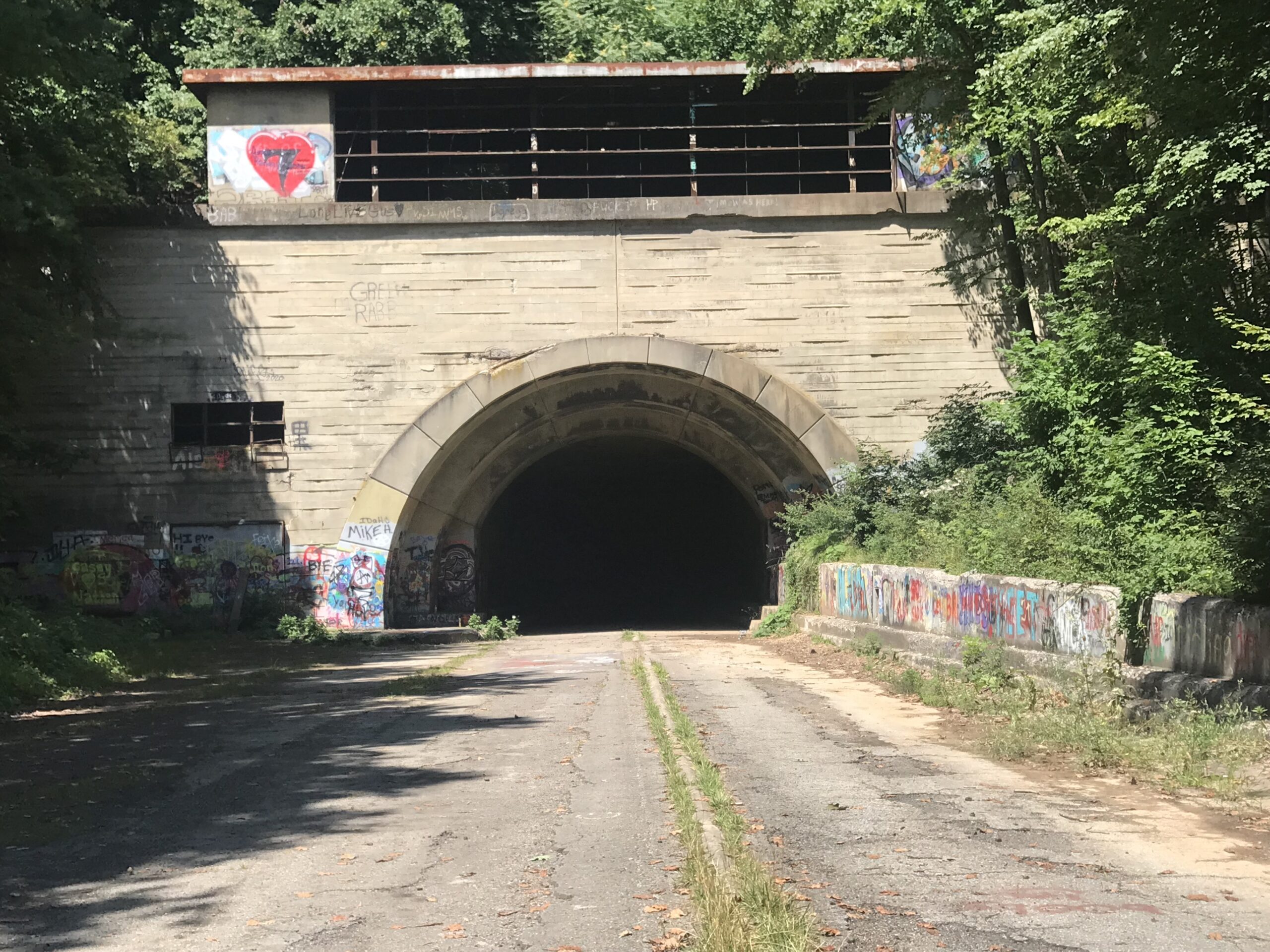
A leg-busting day climbing Sideling Hill out of Hancock, Md. and getting lost on gravel in Pa.
A leg-busting day climbing Sideling Hill out of Hancock, Md. and getting lost on gravel in Pa.
I’ve been worrying too much about comparing the now-me to the 10-year-ago me.
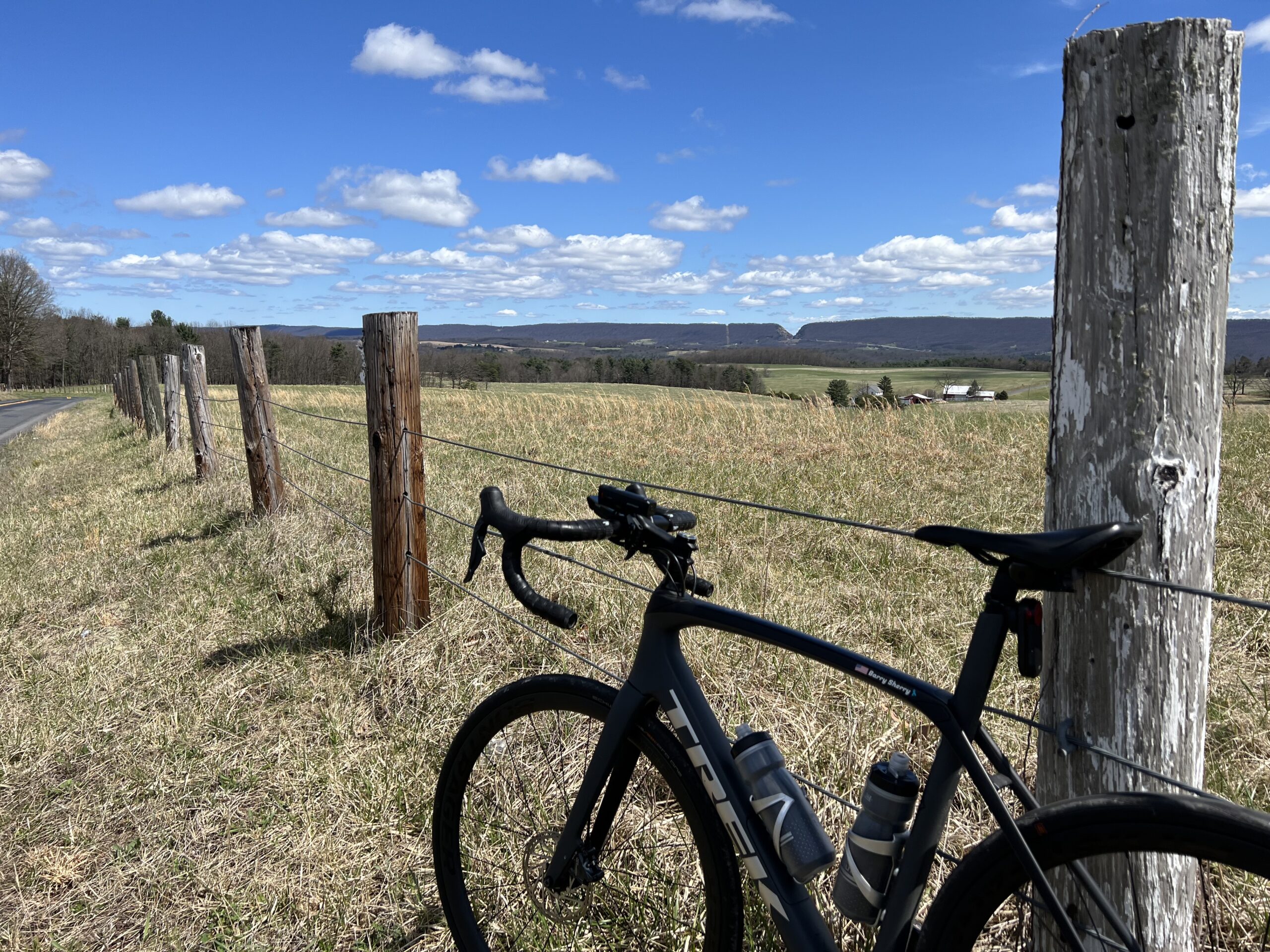
A ride from Johnstown (Geistown) to Punxsutawney (Rossiter) being chased by Father Time.
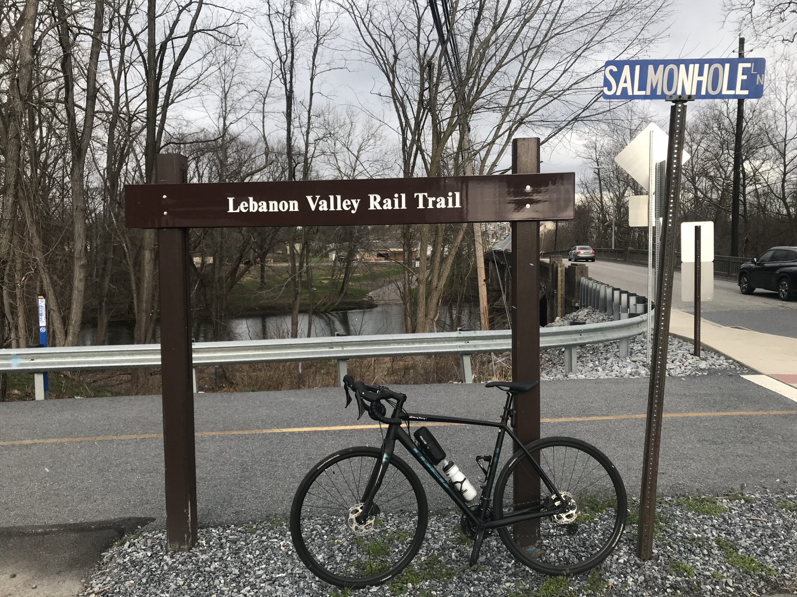
Tried to find the Lebanon Valley rail Trail but all I got was this two-mile portion in Jonestown
The Hoodlebug is a 12-mile crushed gravel rail trail from Indiana, Pa. to Black Lick.
I rode the 62-mile Pine Creek Trail, a rail trail that goes through the Grand Canyon of Pennsylvania
Recent Comments