WRIGHTSVILLE, PENNSYLVANIA
This trail was unknown to me until a few weeks ago, when I saw someone on Facebook post about the Northwest Lancaster County River Trail. I didn’t research it completely, other than to find the start and finish locations. And I drove to Pennsylvania to find it.
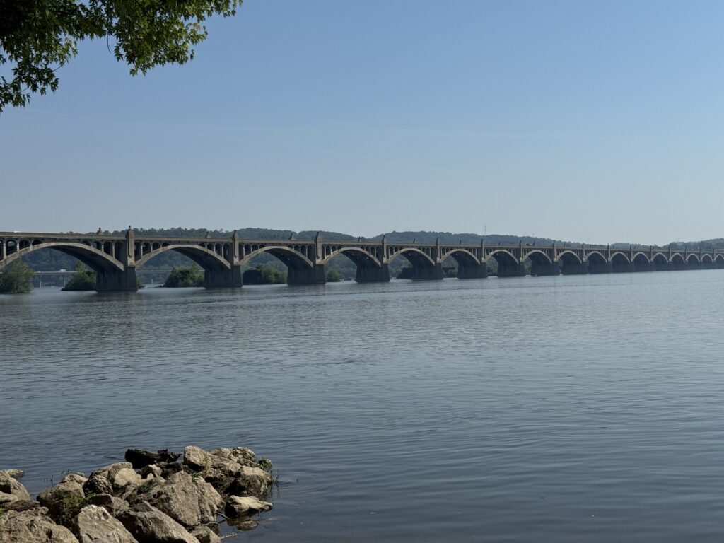
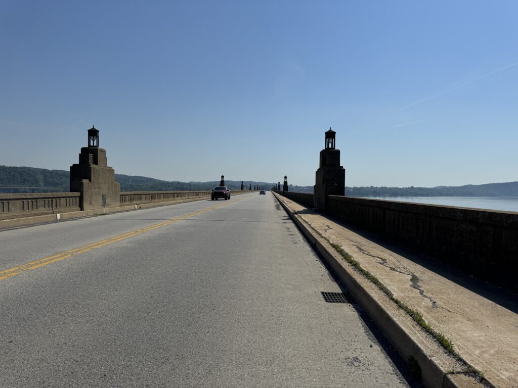
After seeing a heat map that showed a lot of bike traffic across the Wrightsville-Columbia Bridge, I decided I would find a park in Wrightsville and ride across the Susquehanna River from York Co. into Lancaster County.
I didn’t want to drive to Lancaster (County) for a 14-mile trail, even though out-and-back would be 28 miles. I did think I could do an out-and-back twice for 56 miles, but once on the trail should be enough. So I mapped out a ride that would be a loop, go through Mount Joy, which I knew nothing about, and finish with the last 15 miles on the trail.
I chose the hottest day of the year, or at least the hottest day thus far. The temperature would climb to 93° (33 ℃). I went to Riverside Park in Wrightsville and found shared space with a carnival company setting up for the Wrightsville Fair this weekend. It got crowded quickly with the big rigs but no one told me that I couldn’t park there.
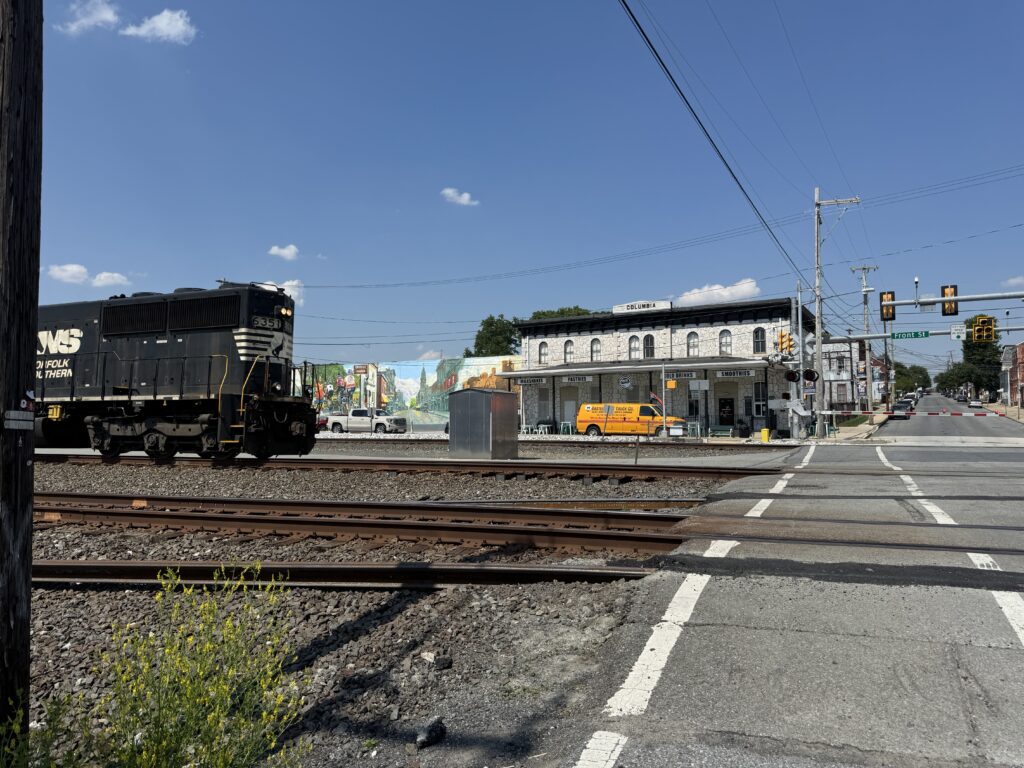
I headed over the Susquehanna River to Columbia. After crossing the Wrightsville-Columbia Bridge, I began a 3.5-mile climb. It even had a switchback on it. It wasn’t hard, and it wasn’t completely unexpected, because I saw the elevation profile on my route, but I previously thought Lancaster County would all be flat farmland. With Amish.
The roads were bike-friendly. While the country roads had no shoulders, traffic was very light and respectful. Some of the roads had a medium-to-wide shoulder. Traffic was of no concern.
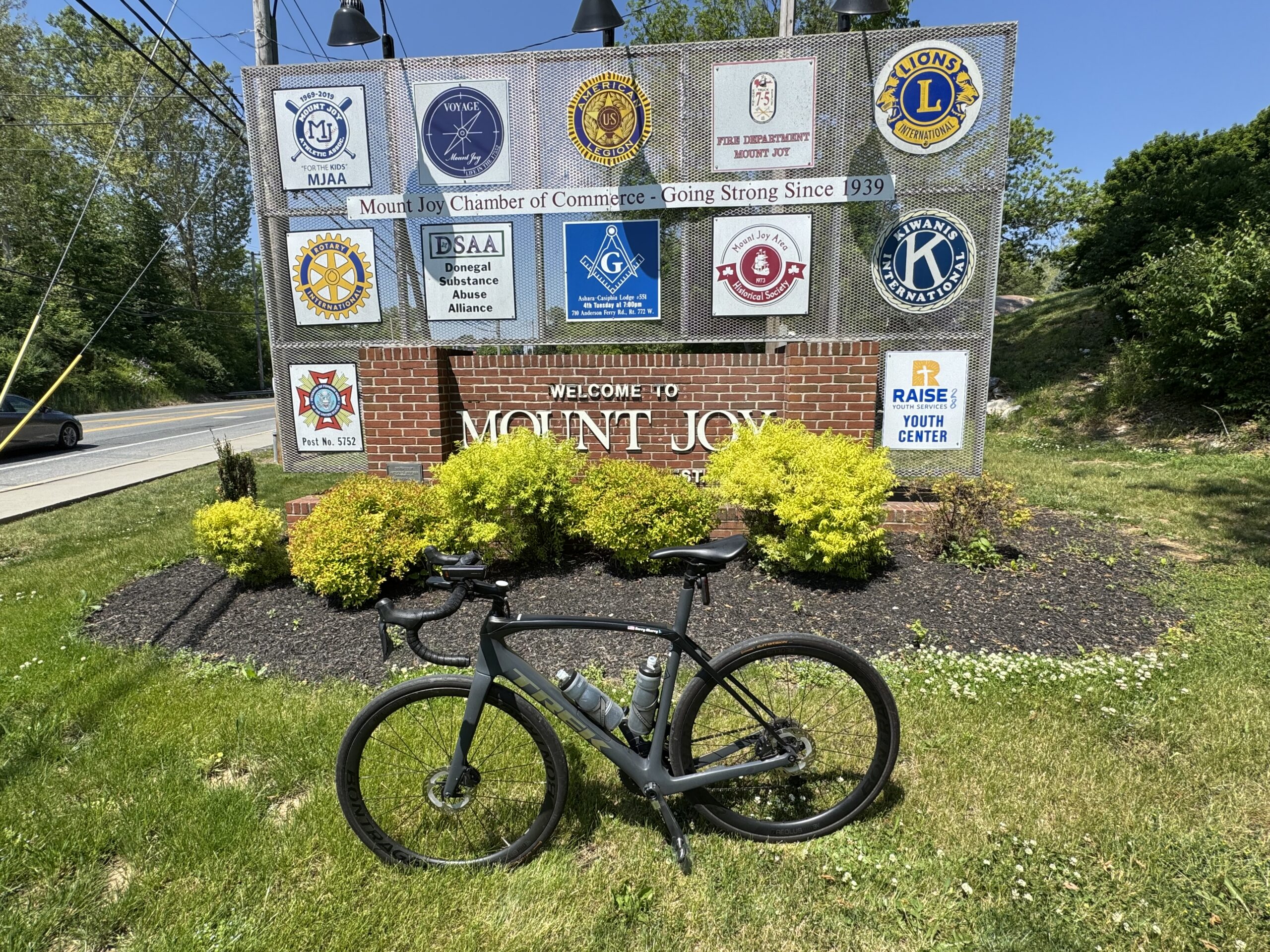
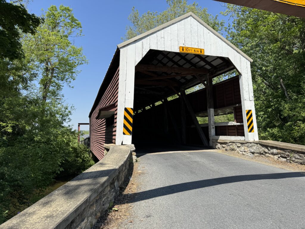
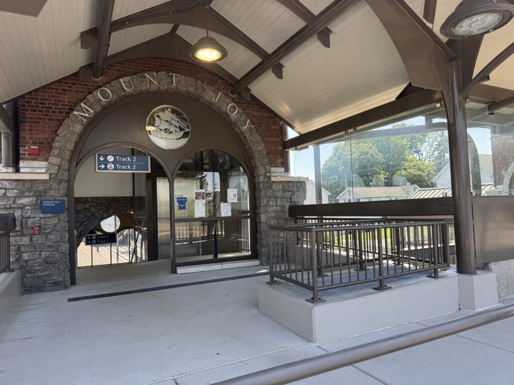
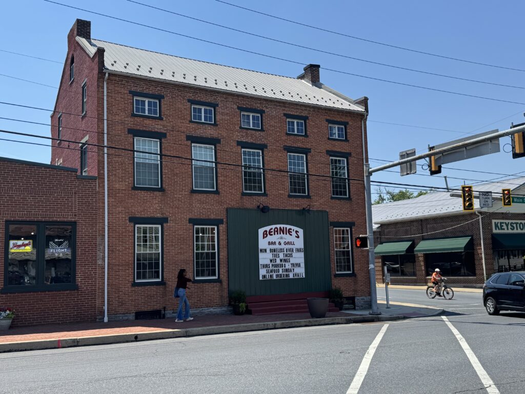
Just 11 miles in, I crossed the Historic Schenck’s Mill Covered Bridge (1847). Then I headed through a neighborhood to Mount Joy. I was surprised to see an Amtrak Station here in this very pleasant-looking town. Yesterday, I had researched places to eat, knowing there would be nothing further on my route today. I found a burger place, Beanie’s Bar and Grill. While they had outdoor seating, with only two on their wait staff working, I was the only one to sit outside. I ordered at the bar, and the waitress brought me my food.
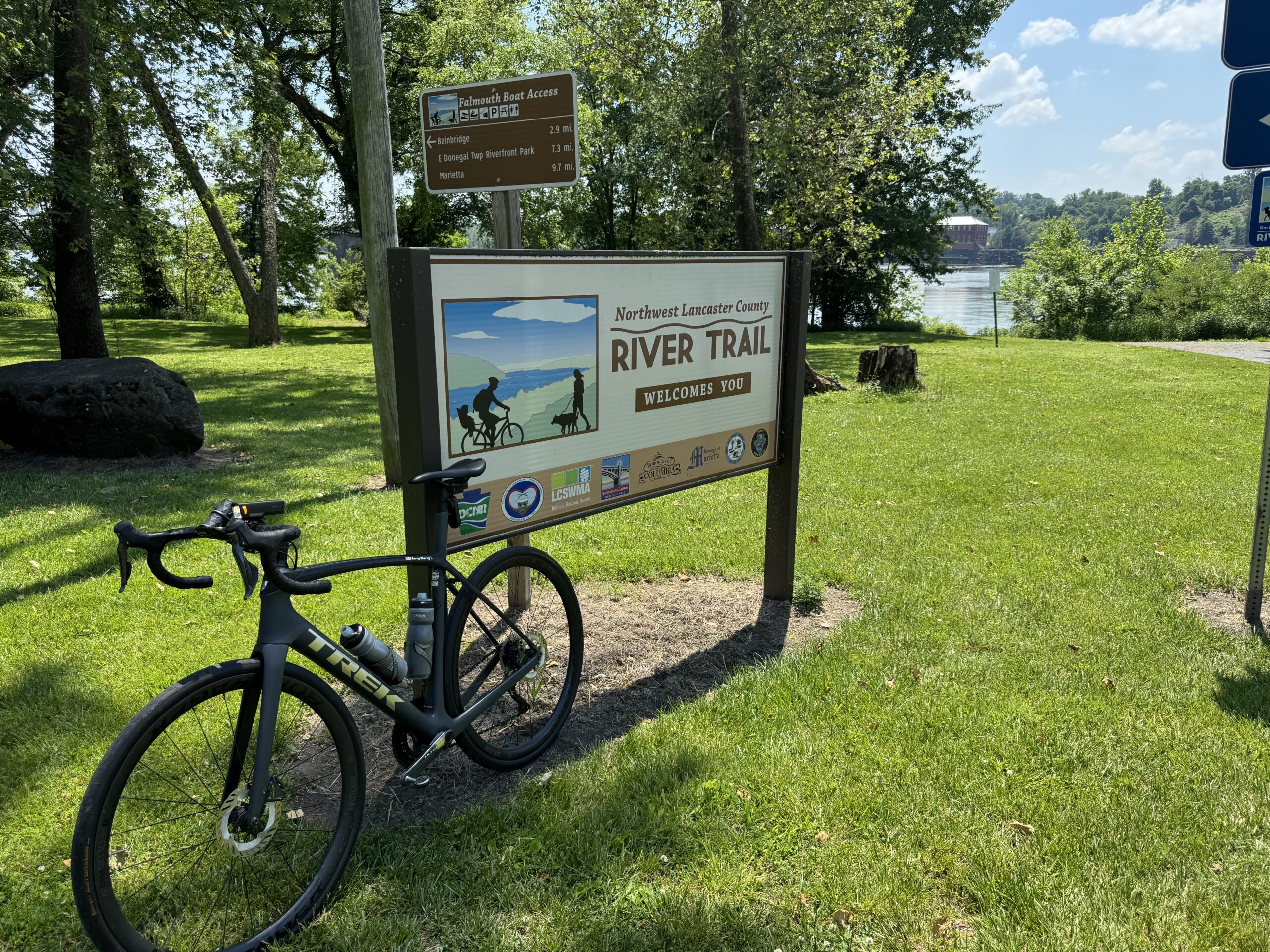
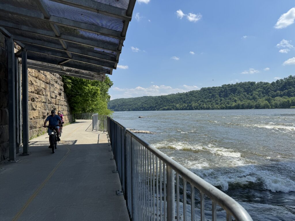
After lunch, I headed over to the northern trailhead of the Northwest Lancaster County River Trail. It started as asphalt, which I expected to end in 200-300 meters. And it never ended. Obviously, I did not research this trail too deeply because I thought it was crushed limestone. Regardless, from the time I left Wrightsville, I had been in the sunshine except for lunch at Beanie’s. I was baking. There are no trees in Lancasetr County. Except on the trail. It was probably 95% shaded and was very welcome.
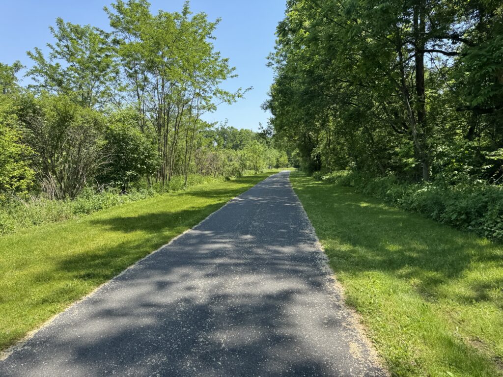
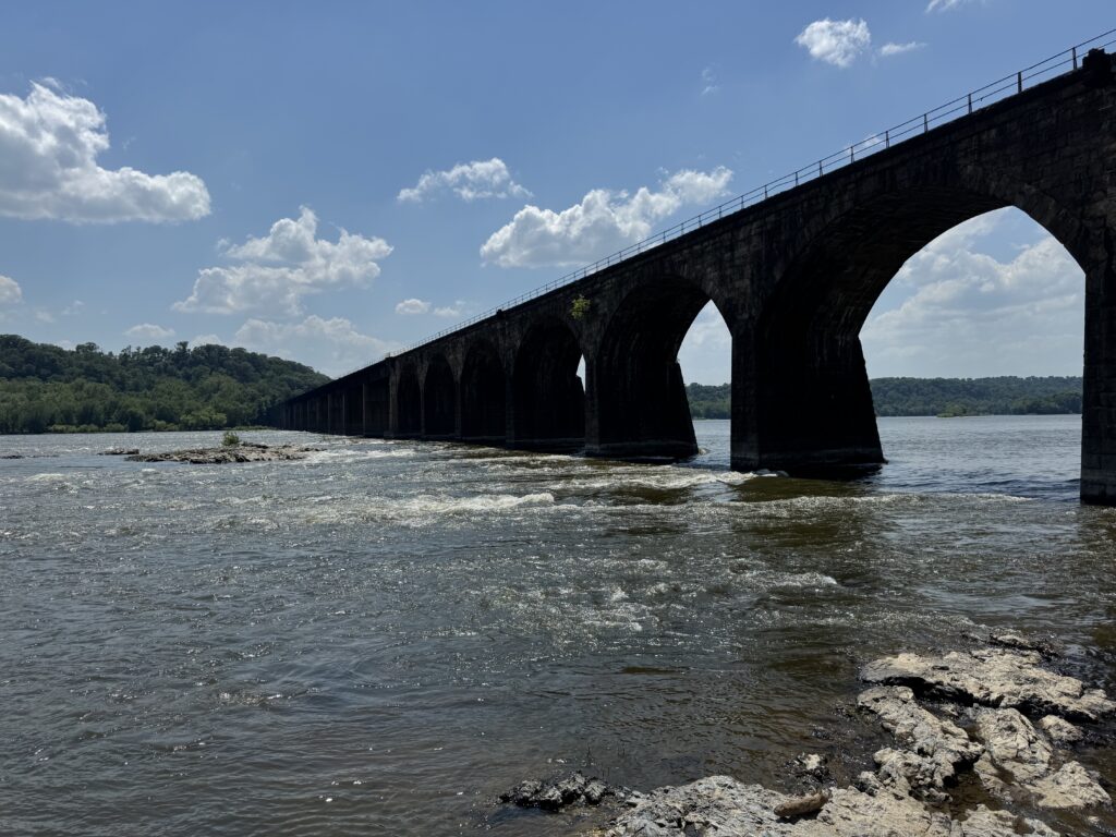
This is a river trail, not a rail trail, so it follows the contour of the river and is not straight as an arrow. It does follow a railroad, although for the time I was on it, a train never passed. The asphalt was in good shape but not great. There were a few spots of minor rooting, enough to feel it but not enough to hurt. Maybe I would give it 4.5 out of 5 for pavement.
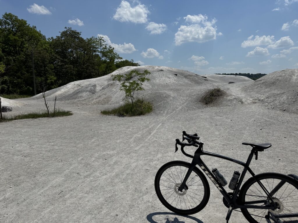
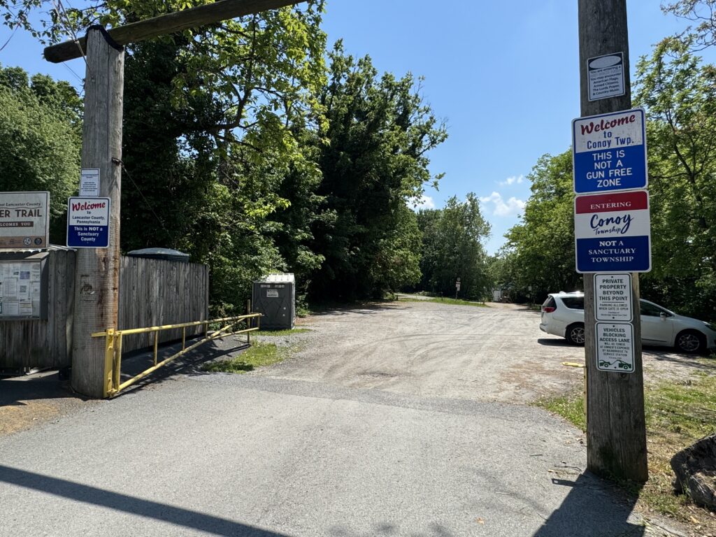
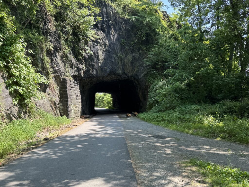
There are no fixtures on this trail. As mentioned, it’s not a rail trail that uses abandoned trestles or tunnels. There is a pretty cool “tunnel” though. Or a hole in the hill. And the trail goes right past the White Cliffs of Convoy. It is worth exploring if one is not wearing cycling cleats.
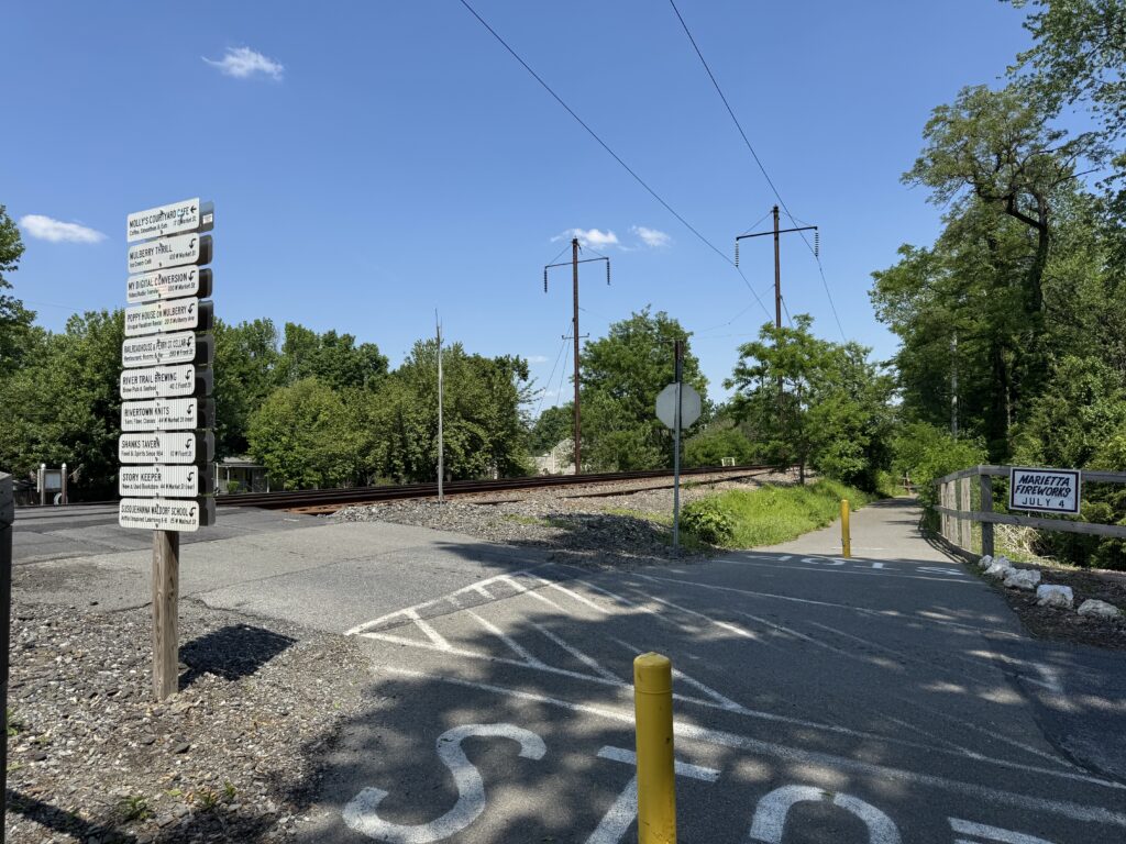
The trail in Marietta is very winding with lots of curves. My GPS suggested I go through the straight streets in Marietta. I did not because this first time I wanted to stay on the trail. But if I return, I will probably explore Marietta.
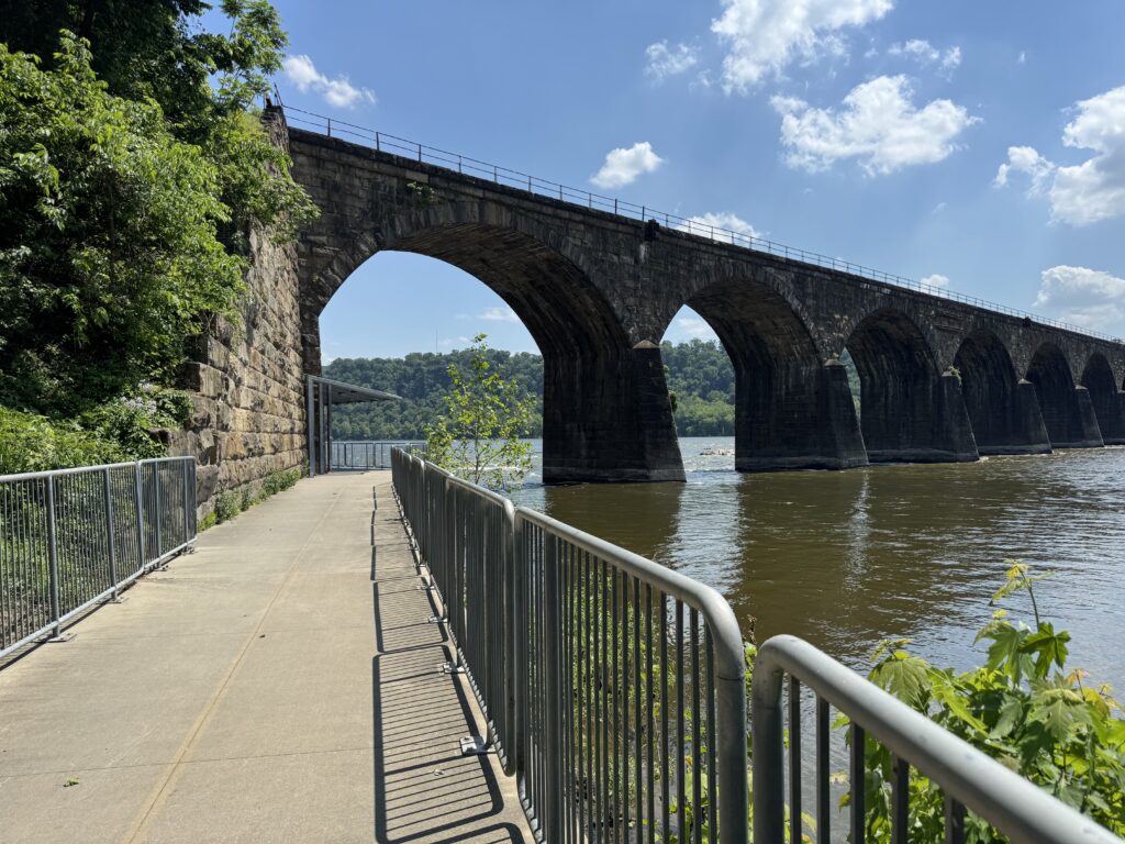
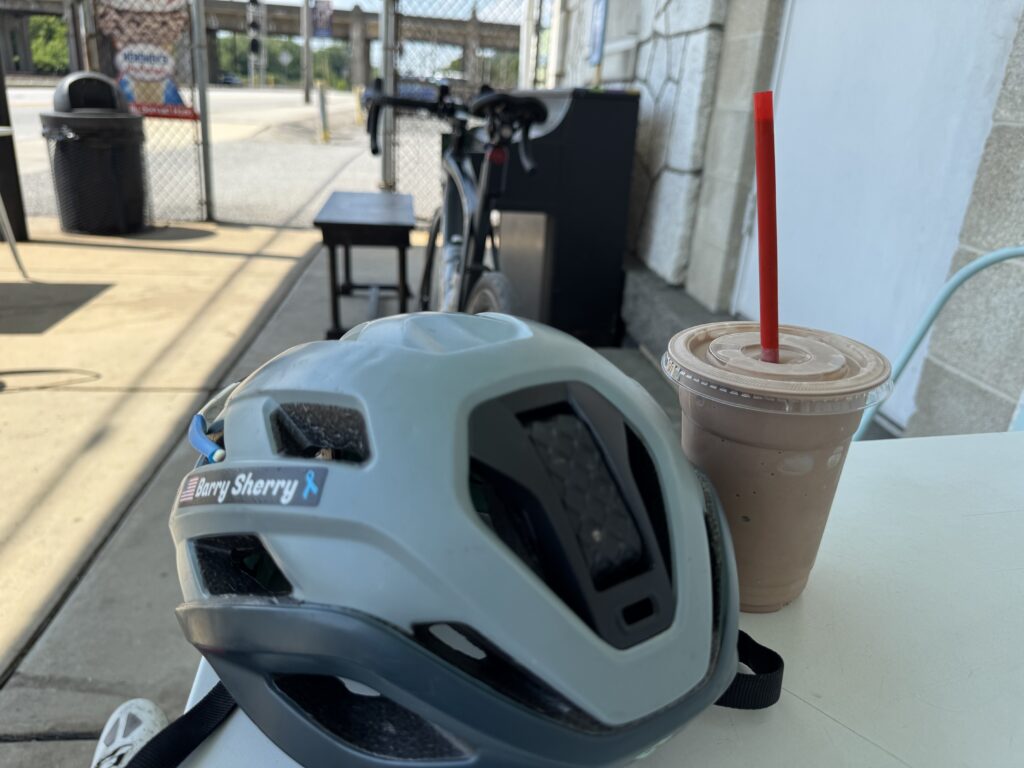
My search for a post-ride ice cream landed me at Coffee and Cream in Columbia. Weekdays, it closes at 3:00 p.m., so I was watching my time. I briefly explored the riverfront in Columbia before sitting down with a great chocolate shake. Recovery. What a way to end a ride.
Of course, my ride wasn’t over. I still had to cross the Susquehanna and get back to my car. I arrived back, and the Wrightsville Fair was basically set up and ready for the weekend. I turned the A/C in the car on max. Using my phone as GPS, it quit working in just a few minutes. It was hot. The phone had overheated. I guess I did too.
DISTANCE: 48 miles (78 km)
Recent Comments