Ghost Town Trail
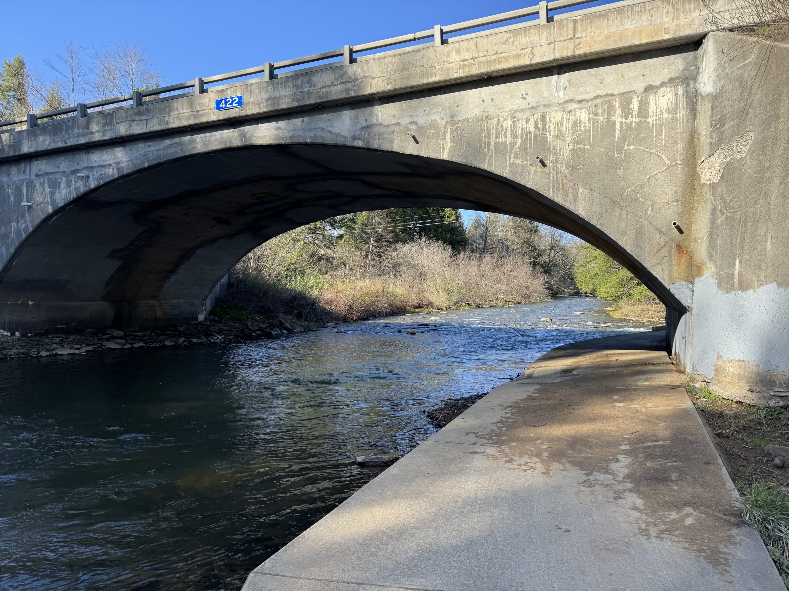
A time-constrained trip to the Ghost Town Trail exploring the connector from Duman County Lake Park
A time-constrained trip to the Ghost Town Trail exploring the connector from Duman County Lake Park
A quick trip around the lake became memorable when I got squeezed by new bollards
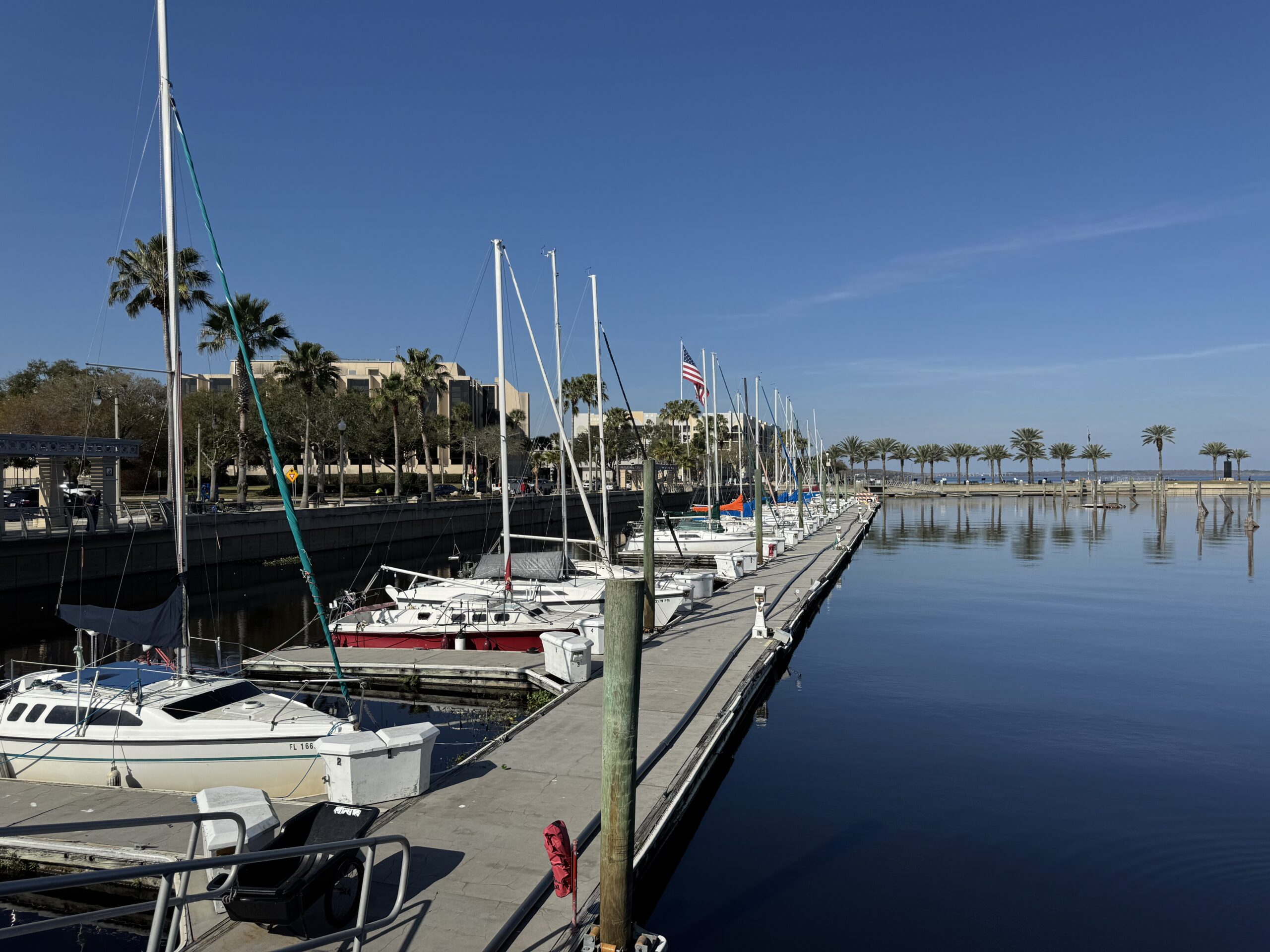
I wanted an Amtrak bike/train option. Rode from Kissimmee to Lakeland and took the train back. Wouldn’t do that again.

A very enjoyable ride – Richmond to Williamsburg

Florida ain’t flat – well, at least the lake country near Clermont ins’t

A ride on the Pine Creek Trail in Pa. Start in Jersey Shore by taking a shuttle to Wellsboro and then riding back to Jersey Shore.


Recent Comments