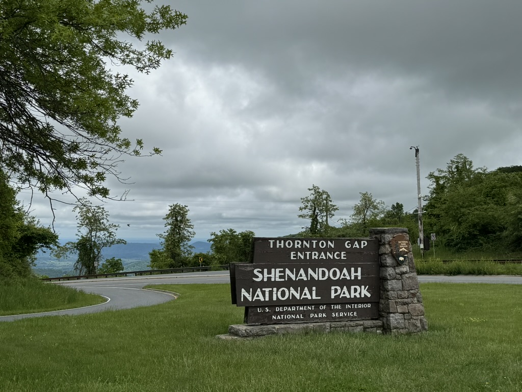
FRONT ROYAL, VIRGINIA
I did this ride once. It was in 2010 and was my first or second ride after cancer. Fourteen years ago my weight was better (thanks, Cancer), my bike fitness was probably less,* my age was better, and my motivation was stronger. On that day I rode with seven riders from The Bike Lane, all appreciably younger, stronger, faster. Yet I kept up.
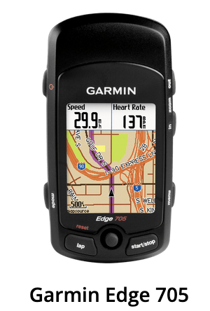
Although Strava was founded in 2009, who was using it then? Not me. Likewise for RideWithGPS, founded in 2007. I was using a Garmin 705. I would upload a ride to Garmin Connect but only epic rides. To upload meant connecting the Strava to a computer to upload to the Garmin website. The 10-30 mile local rides were never uploaded.
Eventually, I became a convert to RidewithGPS and even later to Strava. Today my Wahoo Bolt automatically uploads each ride to both as soon as I end a ride. It is done through Wifi, Bluetooth, or some magical potion that I carry in my back pocket. I don’t know or care how it works, just that it works.

Late last night I went to the Garmin website. My password still worked. I found my ride from 2010 and exported the GPX file. I uploaded that to Strava so that I could be discouraged when I rode seeing how I did 14 years ago.
I posted this SkyMass ride six weeks ago on the Facebook page of Prince William Cycling Club. The night before my ride, some dick posted the same ride including the route I had drawn, just 30 minutes earlier. He could have asked me if I could move the start time to 9:00 and I would have agreed.
When I arrived at the park at 9:05 there was a group of about eight riders looking ready to roll out. At 9:15 and 9:20 they were still there. I began to think it was a different group and I approached them and asked what ride it was I was met with a surly, “This is the 9:00 ride.” I guess they knew me. Why he wanted to lead his own ride, I don’t know. Ego?
Although in 2010 my Edge had mapping capabilities, we were not creating routes to be downloaded to bike computers yet. It could be done but it was a very awkward process. I never did that. Someone 14 years ago, had a cue sheet of the roads we would follow. And everyone followed. On that day we bypassed Luray and opted for country roads and closed country stores. For today, I created a route that went through Luray where refueling was an option.
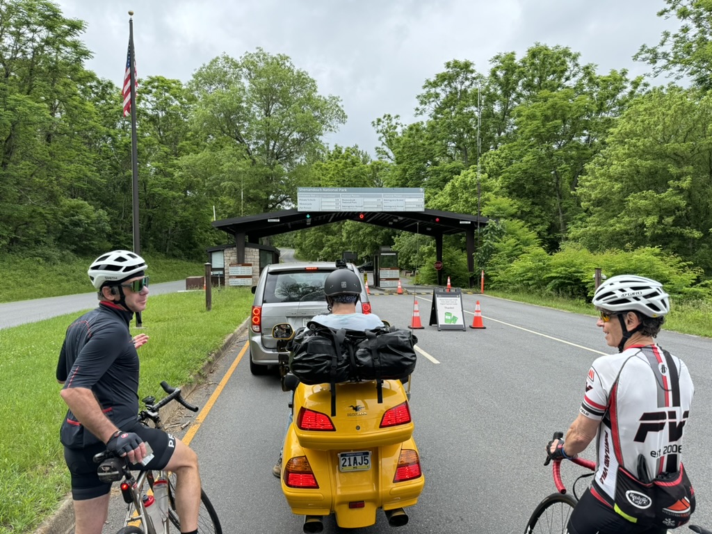
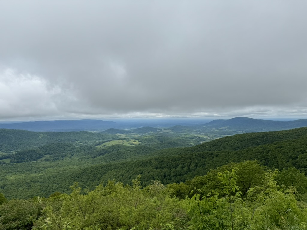
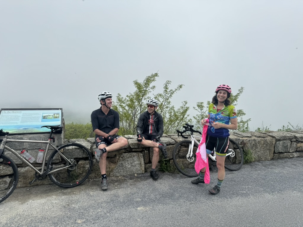
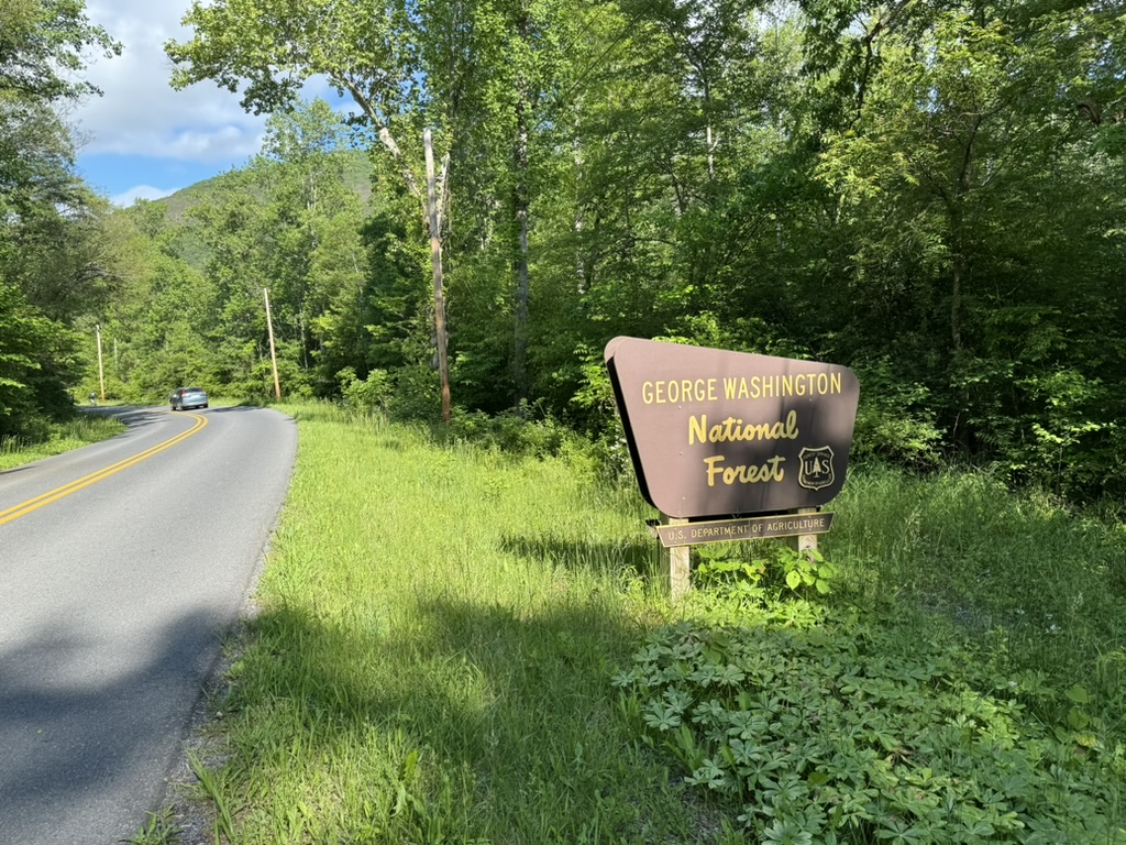
We had a group of four and it was perfect. I don’t like large groups and I was glad to see the 9:00 group leave five minutes before us. We left and headed up to Skyline Drive. The last time I was here was in 2021 with the Texas4000.
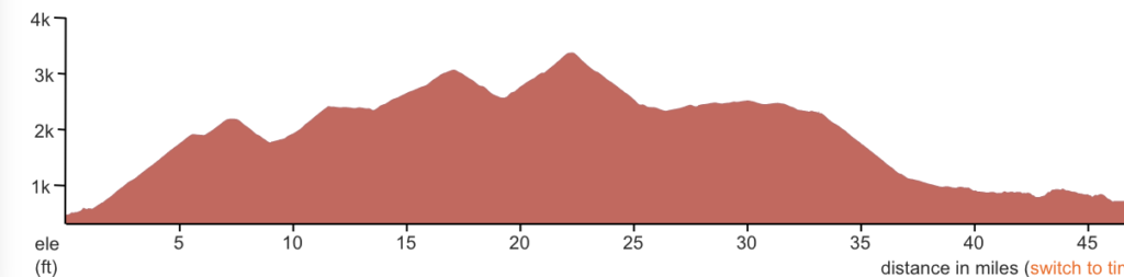
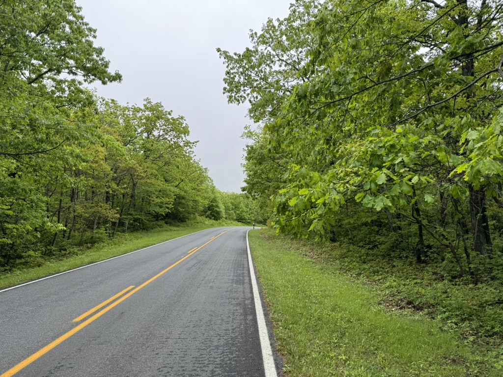
We climbed and climbed some more. The first 5.7 miles (9.2km) were all uphill before giving way to a very slight and short downhill and then climbed to 7.5 miles (12km) before a downhill section. The climbing continued to our high point on the Drive at 22.4 miles (35km).
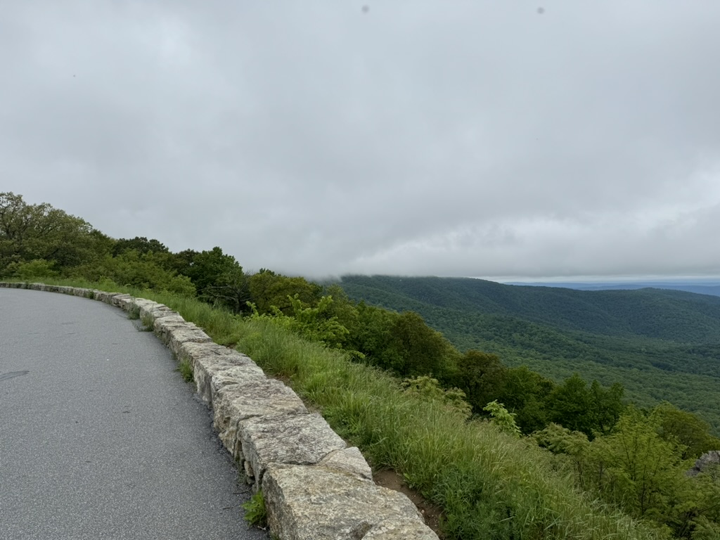
While it looks imposing, the climbing was just 2.5% grade for those 22 miles. After removing the descents from the climb it was 15.9 miles (25.6km) at 4.5%. It felt like more.
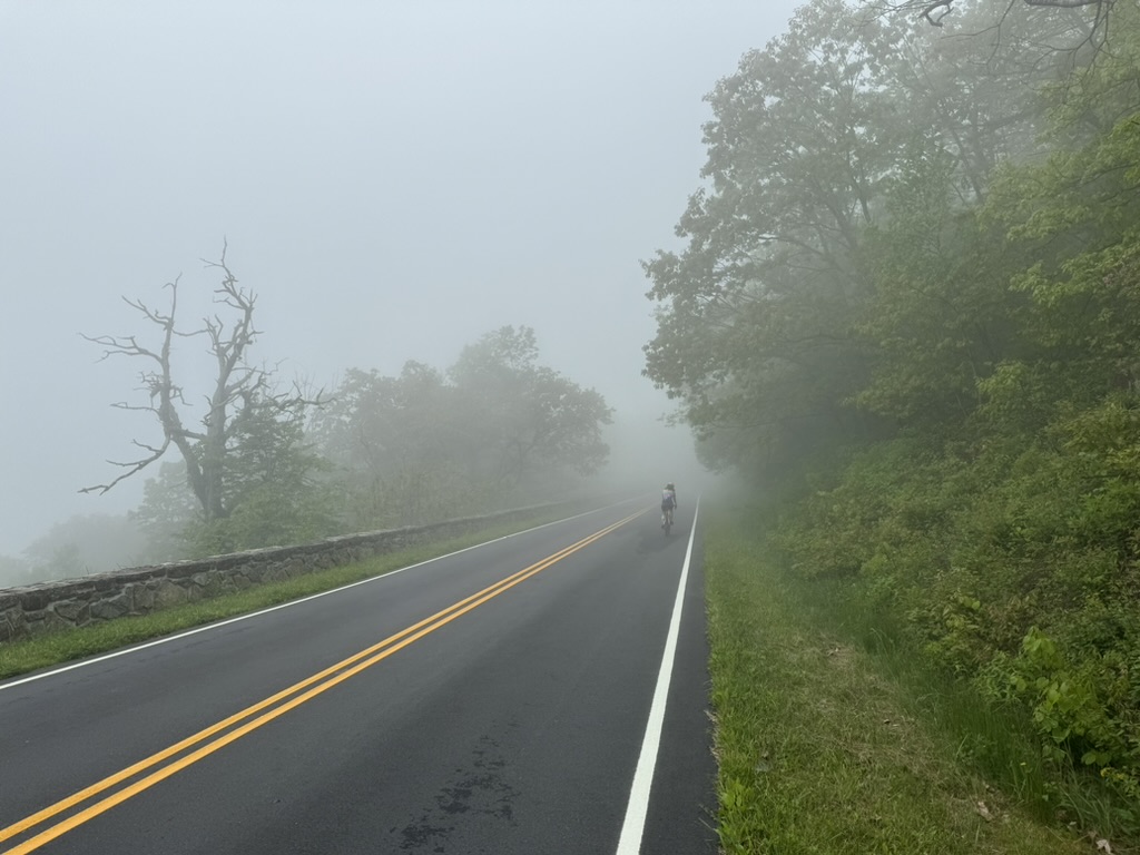
It was foggy and chilly at times. My arms were wet from riding in the clouds. I regretted not having the arm warmers that I had left in the car. My three riding partners wore jackets.
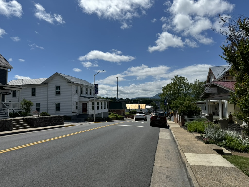
We descended off Skyline Drive on Rte 211 to Luray. It was a Sunday and many places were closed. I don’t remember being in downtown Luray before. Although the initial impression was gas stations and a strip mall, the main street presented quite a pretty and quaint place.
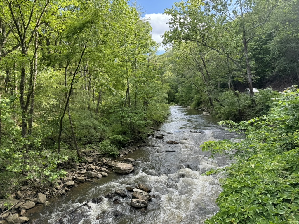
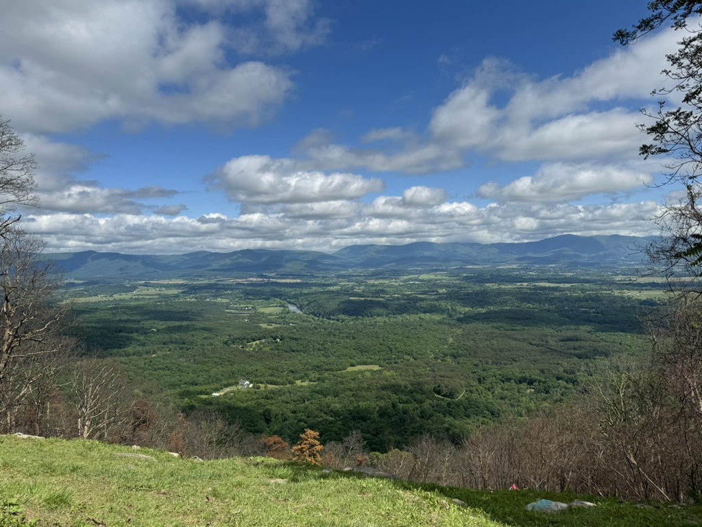
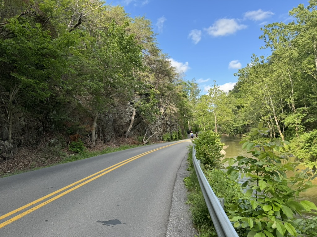
We made our way over to a bridge over the South Fork of the Shenandoah River. Two turns later we were on Fort Valley Road. That road turns up and goes over Massanutten Mountain. It is in a forest with an occasional view of the valley over the right shoulder, especially where a home on the side of the mountain has been built.
The sun had come out and I was sweating heavily. My Whoop was showing my Strava segment from 14 years ago and was taunting me. Although I started first with another rider, once I went ahead I watched to see if I would lose more time compared to 2010 or keep the loss the same. I was losing time.
The climb is hard. It gets increasingly harder the farther up you go. It was 10% for the last kilometer,
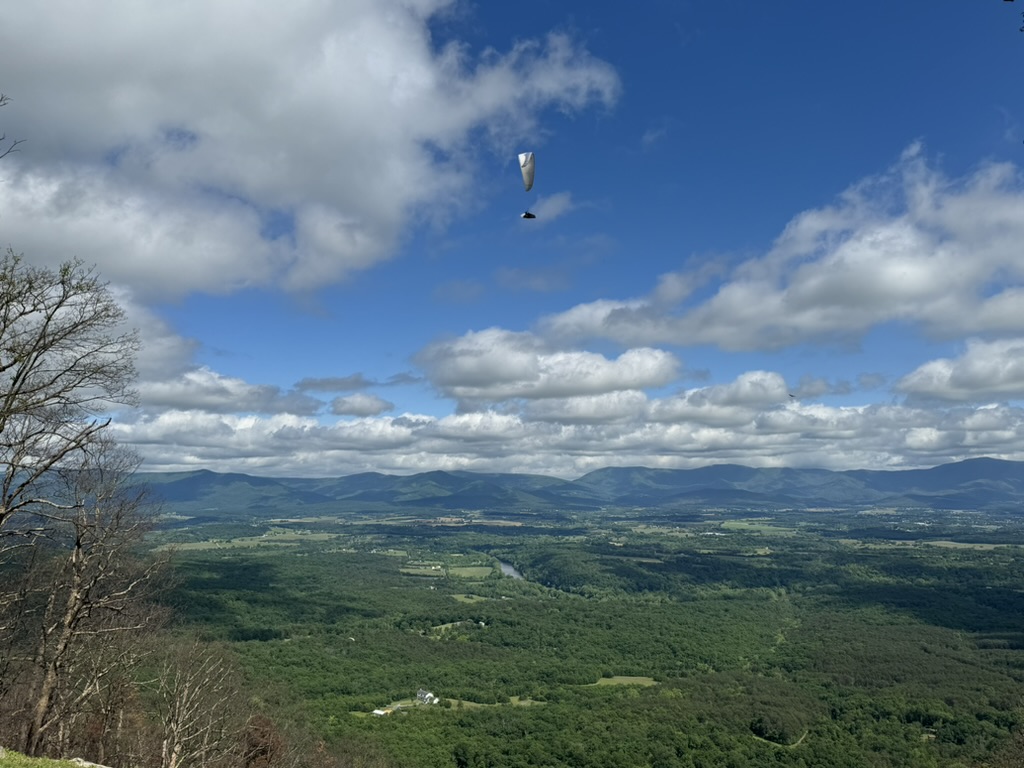
At the summit, I saw a paraglider jumping off the side of the mountain. I had slumped over my handlebars and was too tired and my hands were too slimy to get a photo. But the views were great.
The profile appears to show a 33-mile downhill after the summit. There is a nice descent back off the mountain but while the road trends downhill it is extremely lumpy. We still had more than 1000′ of climbing (300m) remaining. Plus we were now going into a headwind.
Traffic on Fort Valley Road seemed to be heavier than a country road should be. It did have a double yellow line most of the way once coming off the mountain. One motorist in a convertible going the opposite direction yelled very aggressively while he passed, “GET OFF THE ROAD!”
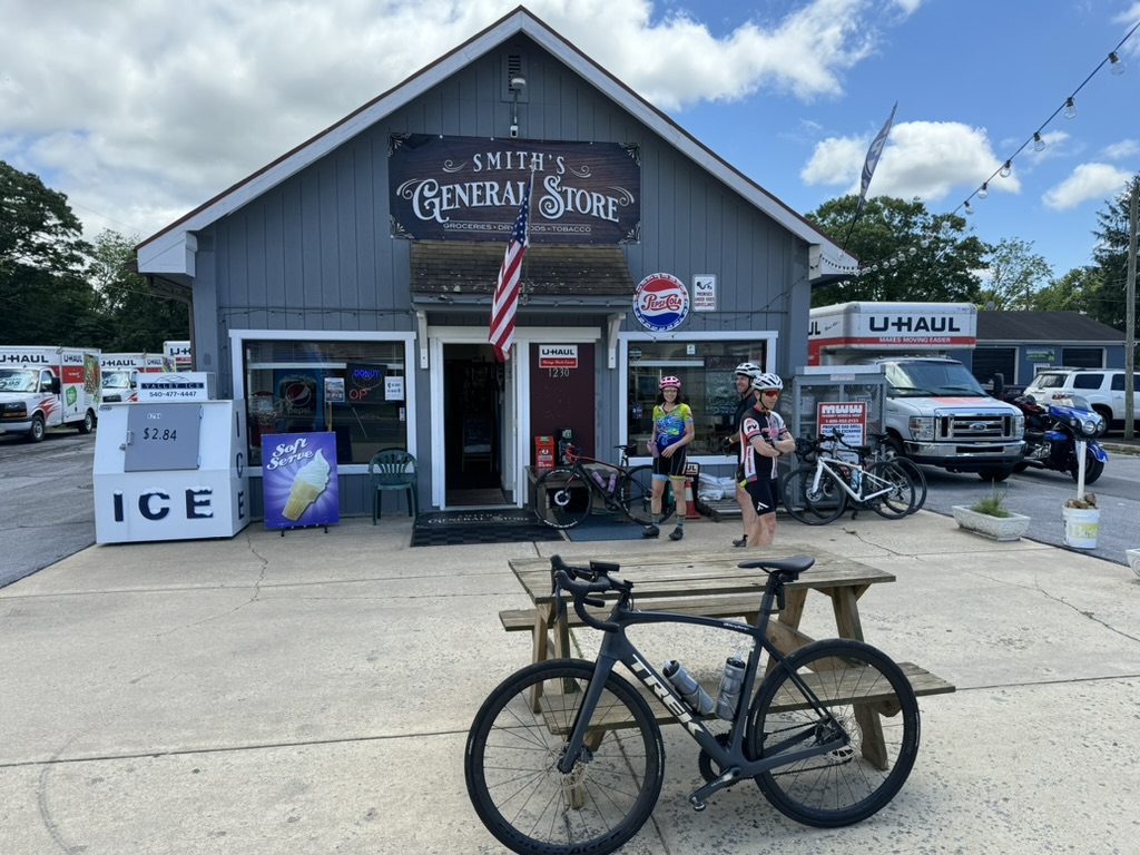
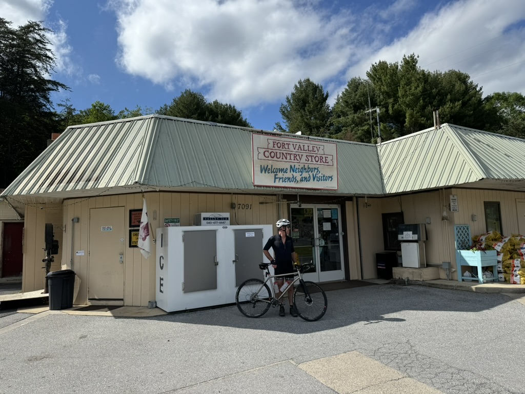
We stopped at Fort Valley Store for more drinks – and a Snickers. As we turned onto Mountain Road at Mile 73 (117 km), a Strava segment popped up. I decided to see if the legs had anything left. At first, I went, and then I paused. Then I went again. And I went full out and beat the 2010-self by one second. I will take that.
Back at the cars, I pulled out apple cinnamon donuts from The AppleHouse restaurant in Linden. They were a perfect dessert for a full meal of climbing today.
*I say my bike fitness was less 14 years ago. I was recovering from cancer surgery and not riding daily as I was working full-time. In 2024 I ride every day although I undoubtedly am not as strong.
Recent Comments