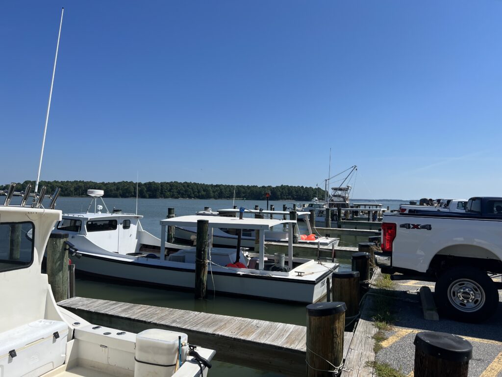
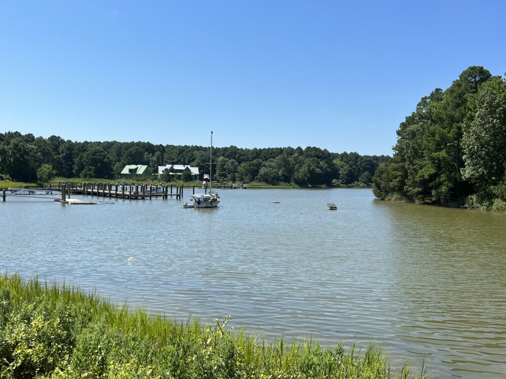
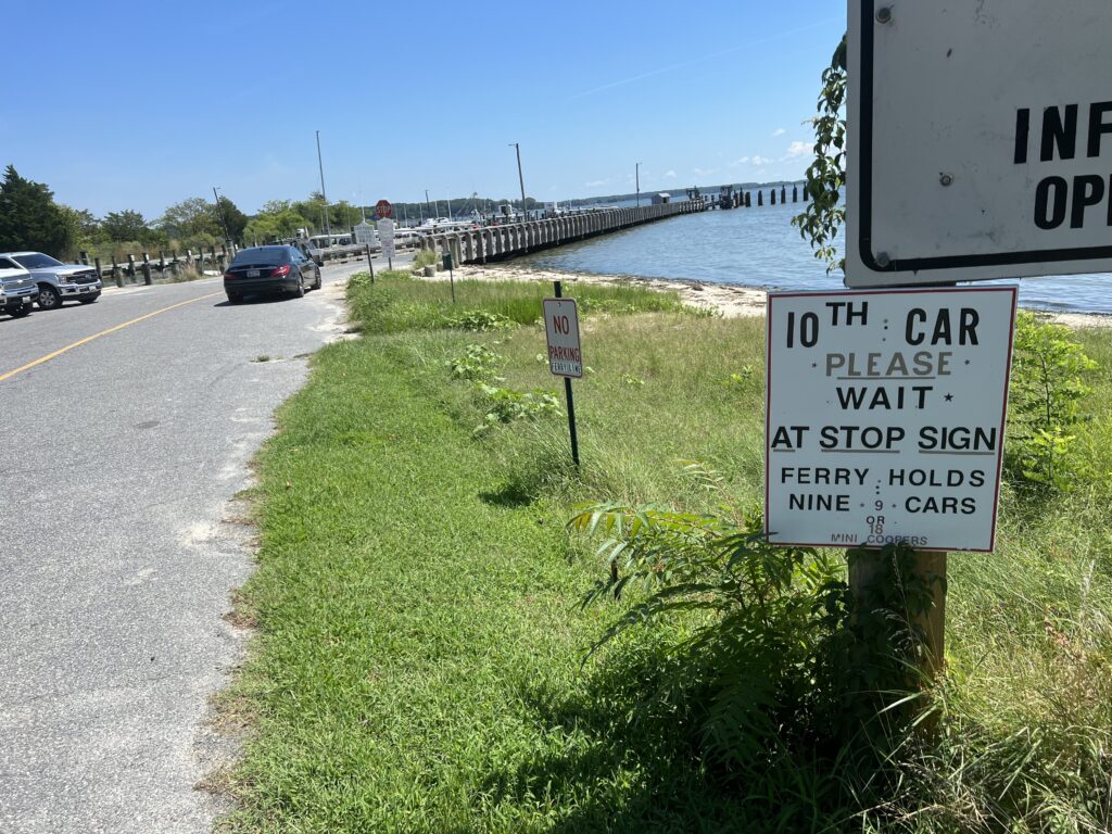
The Best Highway — to Avoid

EL SEGUNDO, CALIFORNIA

It’s one day before Phil’s Cookie Gran Fondo. I stayed at the Hilton Garden Inn – El Segundo. Yesterday I did a short test ride after I rebuilt the bike. I reserved a rental car and would pick it up at 2:00 p.m. I had time for a ride. Even a long ride.

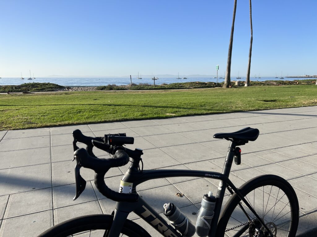
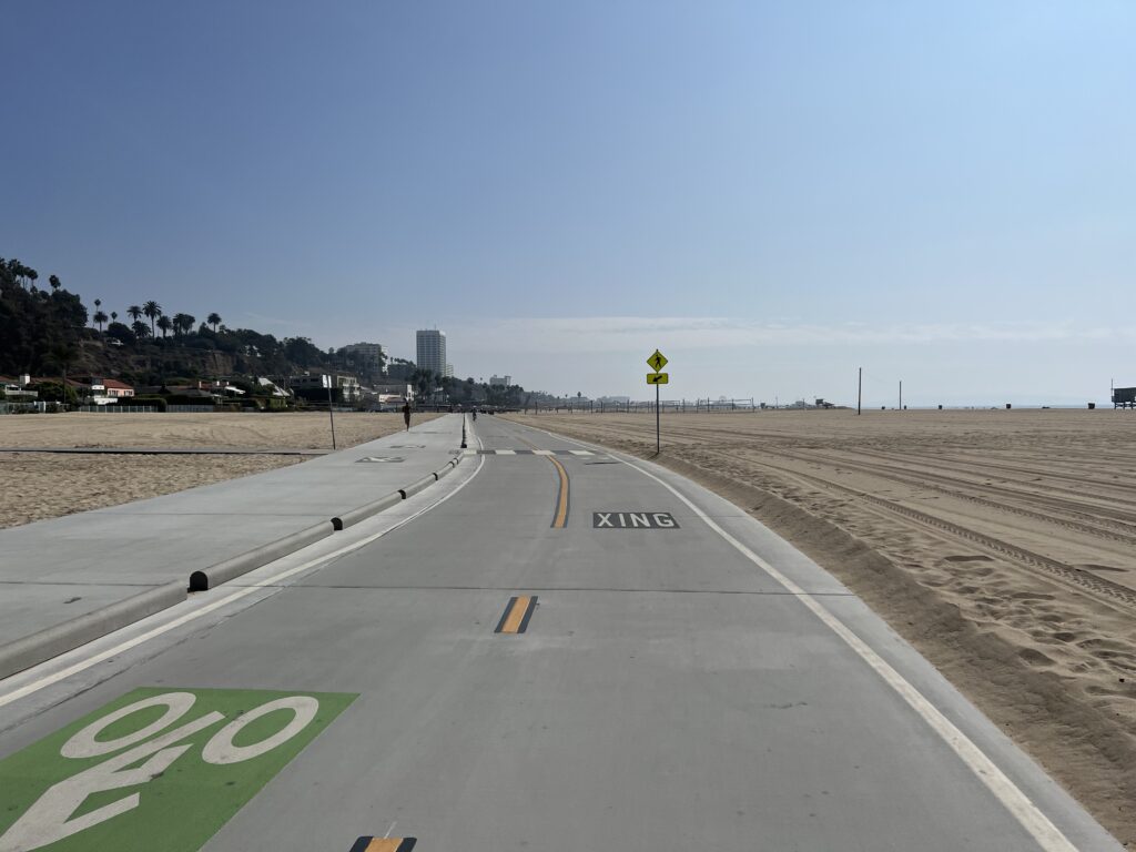
Bike trail in Santa Monica

Pro cyclist, Krista Doebel-Hickok, posted a ride yesterday on Pacific Coast Highway. It looked like a recommendation and I scrubbed plans for a shorter ride (35 miles) and decided I would do this. A quick search and I found a site called Spinlister that referred to PCH From Santa Monica To Malibu as the “perfect California bike ride.”

In fairness, there were some warnings that this trip wasn’t for everybody. But I decided it was good enough for me. The views of the ocean, the sound of the surf breaking on the beaches, and the smell of the fresh salt-water air would offset any negatives the highway experience might throw at me. Right?

El Segundo Trailhead

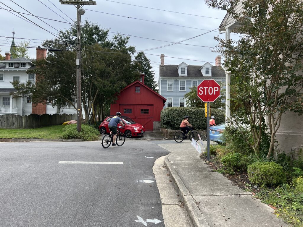
The trip through El Segundo to the beach was through a mostly residential area with lots of stop signs. I counted 12 and most were four-way stops with traffic so I had to stop and put a foot down for each one. It wasn’t bad, in fact, it was a pleasant ride. But it wasn’t one where average speed would be great.

Presented without comment

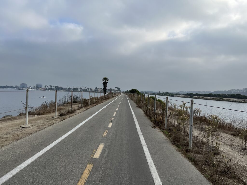
Once I made it to the beach I got on a bike trail. It was the Marvin Braude Bike Trail. It is generously wide and weaves back and forth along the beach. At Culver City, it becomes a combination of urban bike paths and bike lanes through Venice. There I picked up the bike trail again.

Riding between the water

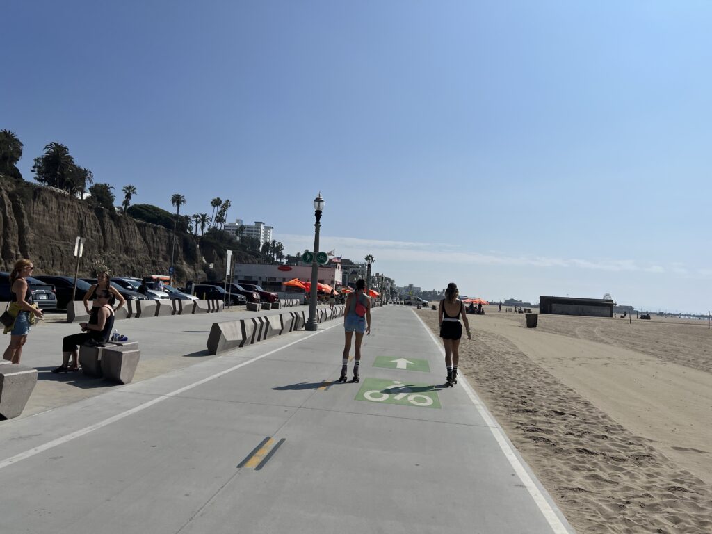
In Venice, the bike trail next to the ocean got very crowded. I am sure it was nothing on a Friday morning in October compared to a Sunday in August. Large parts of the trail were two paths. One was marked exclusively for cyclists while the other was for pedestrians. Despite the presence of the large green markings for Bikes Only, this did not stop many people from walking among the cyclists. We shared the trail with many roller-bladers who were logically welcomed on this path rather than with the walkers.

Rollerbladers. Welcomed,

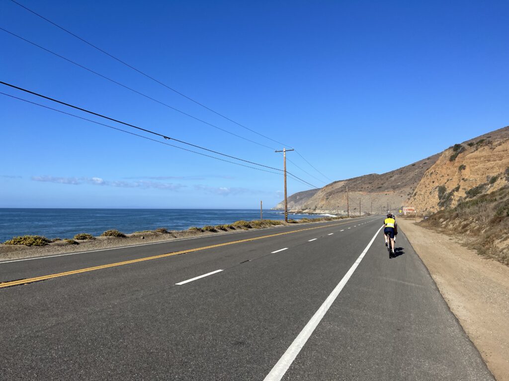
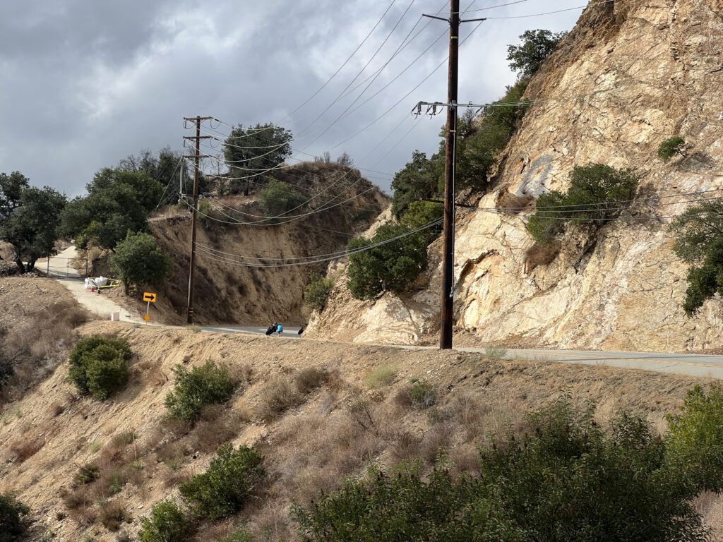
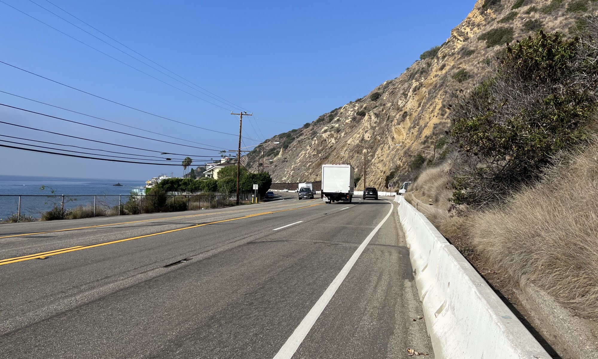
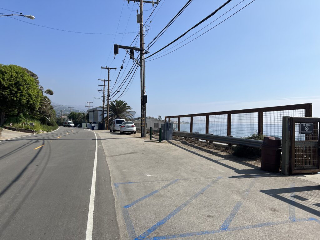
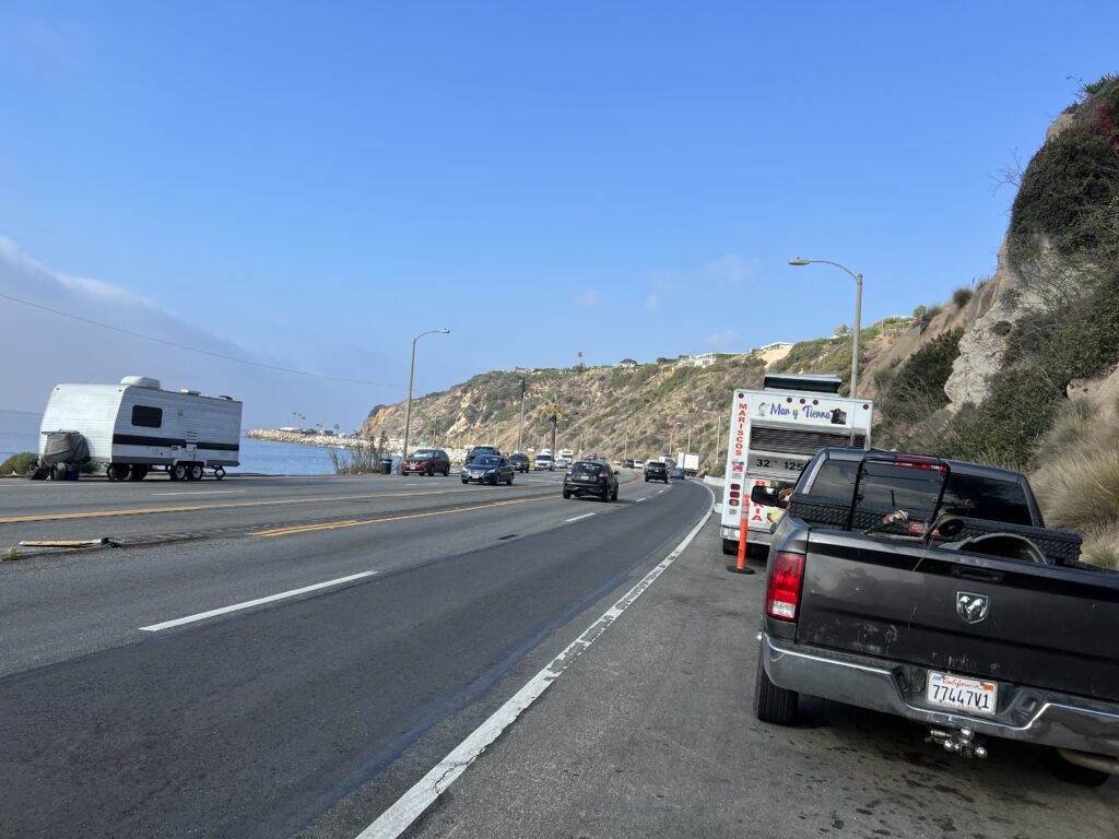
The trail came to an end north of Santa Monica and then the adventure on the Pacific Coast Highway began. This is a four-lane highway with a small shoulder. There are stretches where cars and parked, and worse, a food truck. The food truck, in order to open to customers on the grass side, parked right up to the white lane. Cyclists have nowhere to go except into the traffic lane.

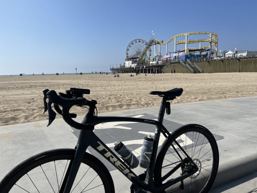
World-famous Santa Monica Pier

Traffic here, Santa Monica to Malibu, was heavy. While a Friday morning around 10:00 a.m. seems better than rush hour or possibly weekends, it may not have been. Bumper-to-bumper traffic creeping in this stretch would be safer than the cars whizzing by at 50-55 mph.

Diversion off PCH and through Malibu
Malibu Road – it runs parallel to PCH for 2.5 miles

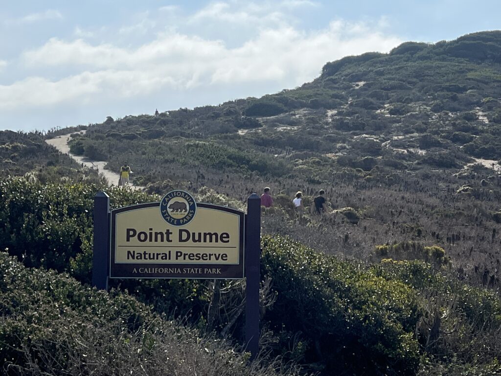
My ultimate destination was Point Dume Recreational Area. There were no signs to the area from the south as I went in through a residential area. It looks like a beautiful area for hiking with absolutely wonderful overlooks. It is here where there are some of the best viewing areas for humpback whales migrating from December to March.

Point Dume Natural Preserve

Going north, there were a number of pinch points where I had to merge onto the highway. At each one I stopped, took a photo, took two looks behind me to make sure it was clear. And I relied heavily on my Garmin Varia radar.

Food trucks blocking the PCH shoulder

Going south, there were a lot more times that I had to ride in the traffic lane. Despite the presence of one sign which said Bikes May Use Full Lane, I wondered if any drivers saw the sign. More importantly, I felt that none cared.

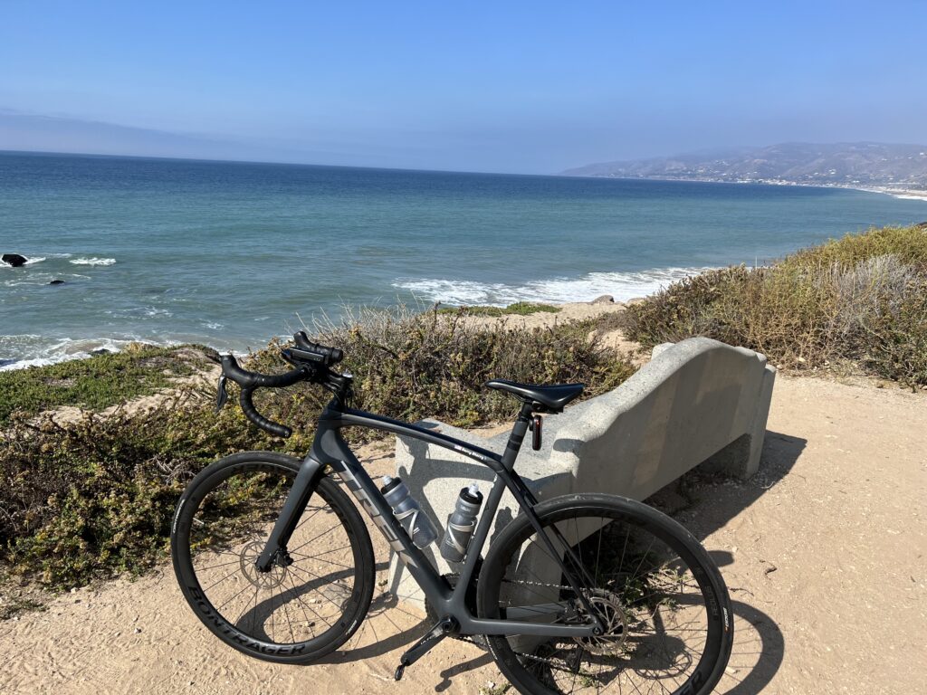
Point Dume

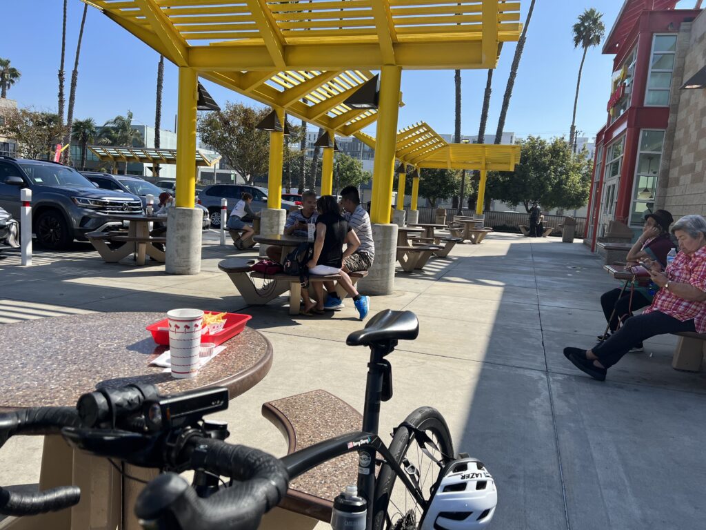
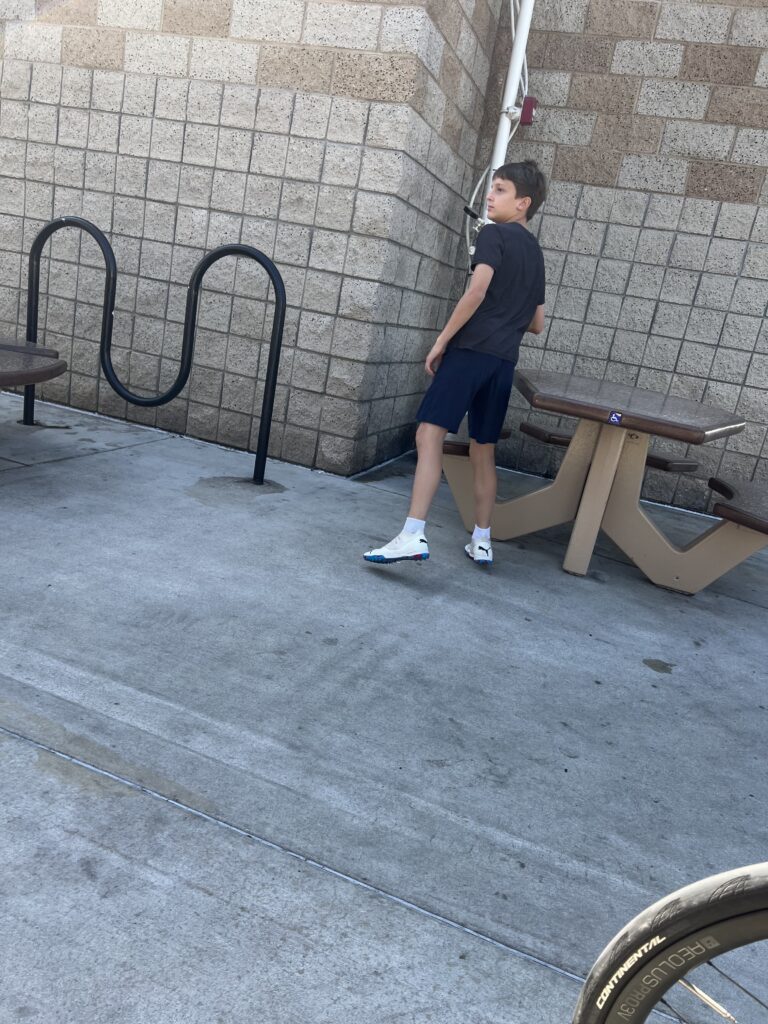
I was so thankful I got back safely to Santa Monica and picked up the trail again. I diverted to In-N-Out Burger in Culver City. It was busy and I found a dad with his son, maybe 13 years old, and told the son I’d give him $1 to watch my bike while I went in to order. It was perfect.

In-N-Out Burger, Culver City

I head back to El Segundo to pick up my rental car. On the trail.

I gave him one dollar to watch my bike

The bottom line is the ocean views and saltwater air did not counter the angst of riding on the PCH. I would not recommend this stretch of road. I’m glad I did it once but I am not looking to ride it again.

To be certain, this is only the stretch from Santa Monica to Malibu which is a 💩 show. About eight miles north of Point Dume on the PCH is where Mulholland Highway meets the PCH. We ride this stretch north during Phil’s Fondo. And this stretch is fine for most road cyclists. Wider shoulders and no pinch points. Also better ocean views. In short, avoid PCH from Santa Monica to Malibu. But further north, enjoy the ride.


DISTANCE: 69.5 miles
AVERAGE SPEED: 15.3 mph
WEIGHT: 177 lbs

When the Magic Happens – Sea Gull 2022

SALISBURY, MARYLAND

Last night I stayed at the Hampton Inn & Suites, West Ocean City. I was asleep at 10 p.m. hoping to get a full eight hours before getting up at 6 a.m. I was most interested in my Whoop Band recovery score which seems to always be poor before a big event.

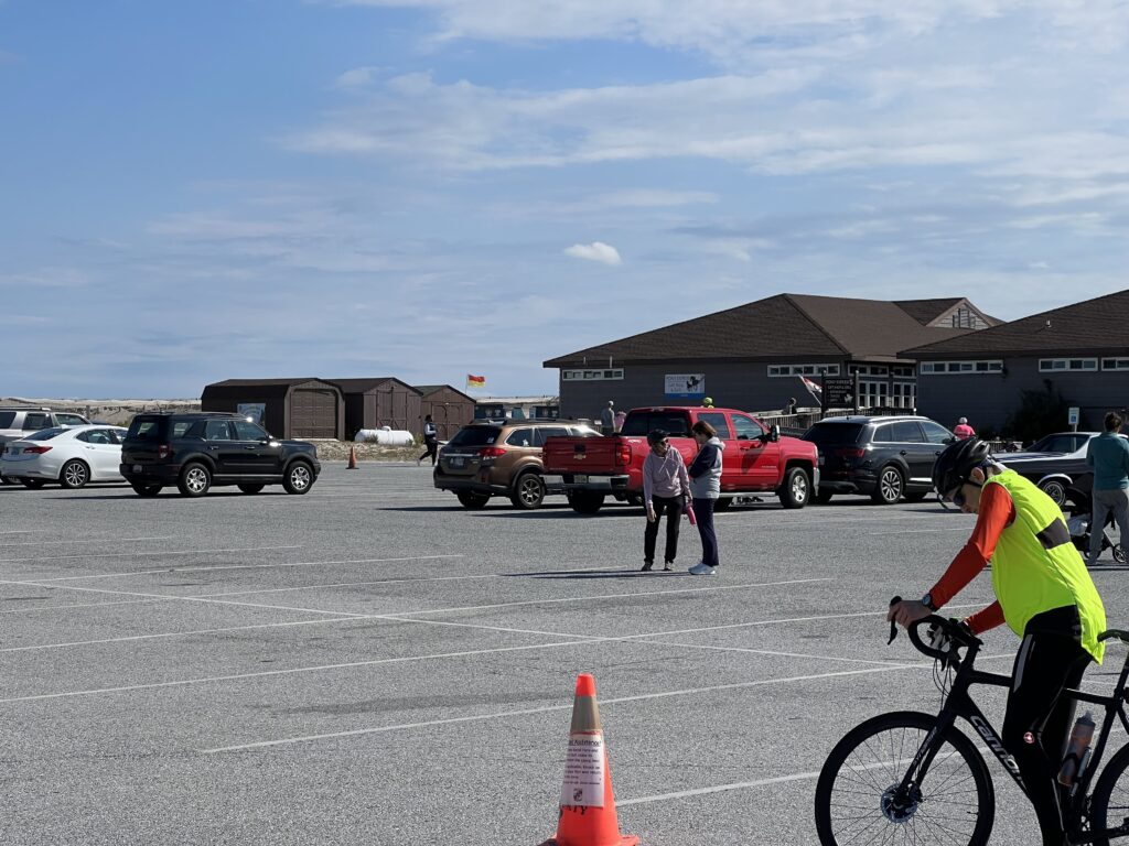
Assateague State Park

It did not disappoint. Yesterday I did an easy 22-mile ride in Easton on the way here. I didn’t want to not ride at all and this short ride would not stress me. My Whoop score for the ride was an easy 13.0.

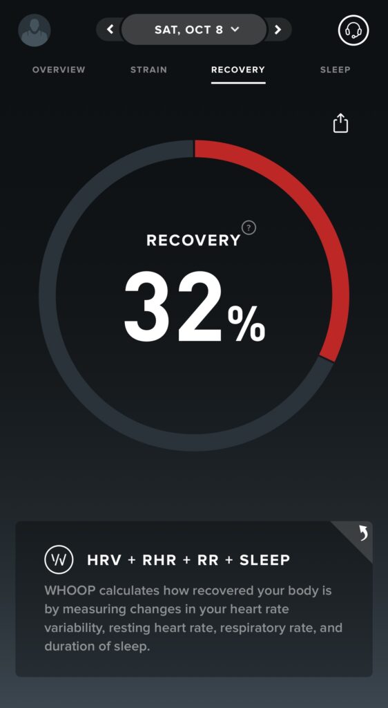
I went to breakfast at 6:30 a.m. I sat down to eat and then looked at my recovery score. It was only 31%. I was already in the red. That signifies that I have not recovered but not riding was not an option. Riding and sucking would be.

Whoop Recovery score before the ride. This is not good.

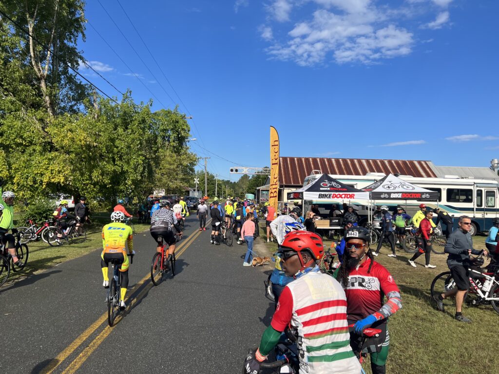
I knew no one who was riding today but hoped to see some riders from the Blair Cycling Club (Altoona, Pa.). I used to see them but haven’t for 3-4 years so either we don’t have good timing or they no longer come to this event.

The weather was cool. It reached 80℉ (26.7℃) yesterday and I certainly hoped for more of the same. But a cold front came in overnight. It was 55℉ (12.8℃) at the start. Despite a brief appearance of the sun at the rolling start, it was gray and windy.

I didn’t want to be fixated on speed. I removed the speed display from my Wahoo. And I switched the units from miles to kilometers. It’s different. They go by faster than miles but to see “164 km remaining” on the head unit at the start was sort of daunting.

The sun peaked out for a minute at the start

I wore my red Roosters kit, arm warmers, and a vest. Many riders had knee or leg warmers. Even spotted some with balaclavas. I started riding and passing people. I should have been mindful of riding the first third easy, the second third normal, and having enough to finish strong.

Instead, I had a tailwind and took advantage of it. I was passing many riders and passed a guy on a blue bike. I noticed that he picked up the pace and followed me. He never quite sat on my wheel but I knew he was behind me. Eventually, he came beside me and complimented me on my pace. Then he added that he hoped I didn’t mind him “hanging back here because I kept a great pace.” Ha! After a compliment it was OK.

Rest-2, Newark, Md.

About 10 minutes later, a guy wearing a Marines jersey came flying by, followed by two riders. The third rider was the guy that had been following me. I jumped on. We went a mile or two when the guy with the big engine pulled off. Apparently, he thought he was pulling friends and asked “Where are they?” And then he sat up.

Crossing the Pawpaw Creek

The second guy took a turn. When he pulled off he dropped too. I then followed the guy who had followed me for so long. That was fair. We came to a Live Segment on Strava and I wanted to set a PR. But not by sitting on. So I moved to the front and pulled him to the end. I got my PR. We turned the corner and he was gone. Damn.

Snow Hill, Md.

I came to Rest-1 at MP23 in Snow Hill and kept going with a brief foot down because of the foot traffic. There was a group there called Heavyweight Cycling. Most were big guys. I asked where they were from and was told Raleigh-Durham. I never saw them after the stop although they were motoring before it. Pretty cool kits.

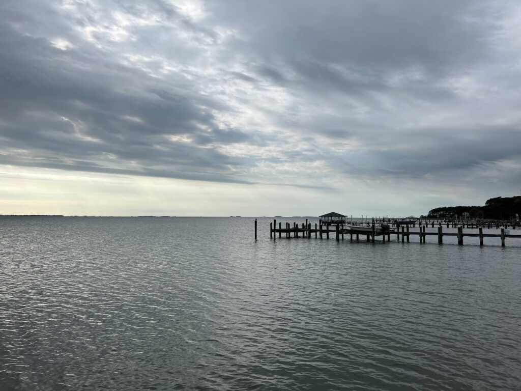
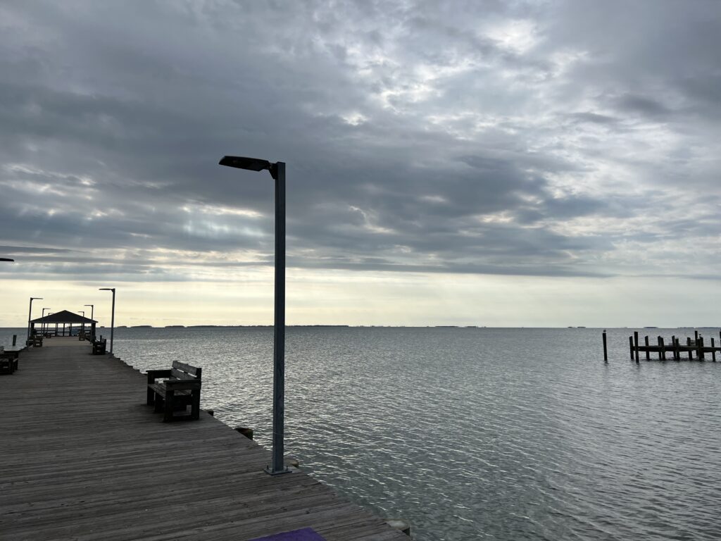
Chincoteague Bay

In Newark (MP42) I kept going through Rest-2. The location changed from last time. I did not see if it was a water-only stop or food. Actually, I put a foot down and opened my second pack of Energy Chews. I ate a couple then took off.

Chincoteague Bay

It started to rain. It was more spitting than anything. But it was gray and windy and I thought if I’m getting soaked then I will look to turn this boat around. I’ve ridden this event enough times to know that I don’t need to. The roads were wet but the rain didn’t last long. Actually, my kit wasn’t even wet. The gray soon gave way to sunshine.

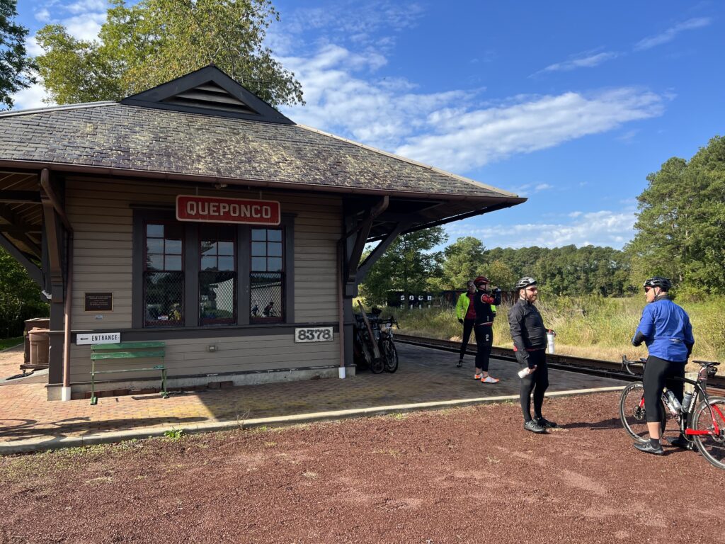
Train station in Newark, Md.

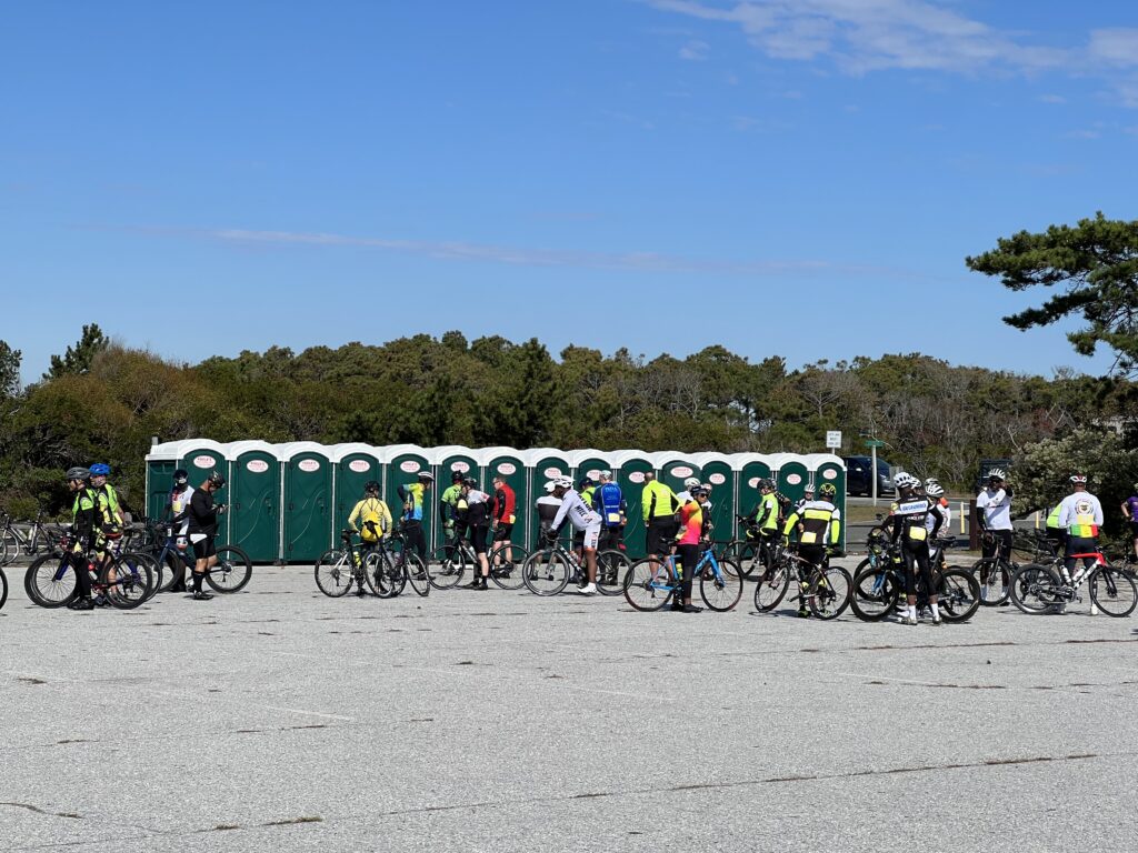
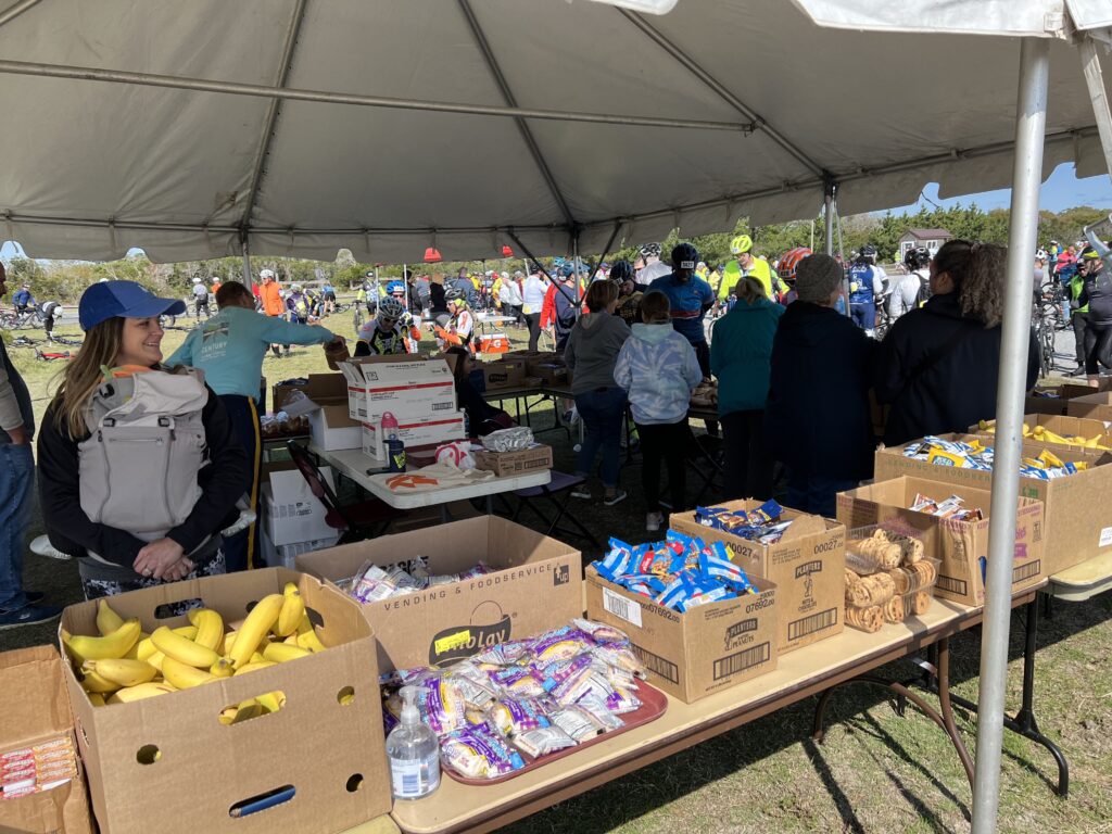
It was a nice run into the state park at Assateague. The port-a-johns were busy. I went for food. I took a bagel. One bagel. Then I turned my nose into the wind. It would be a 30-mile headwind.

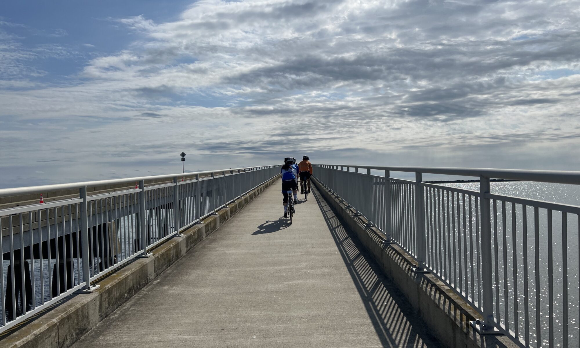
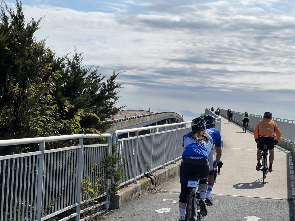
The Verranzano Bridge at Assateague Is.

My goal, if I had one, was a six-hour century. I would need to average 16.7 mph. I had no clue how I was doing because I wasn’t displaying speed. And if I did, it was in kilometers so that may or may not have been useful. But I knew this. When I came through Berlin I knew I had 30 miles or so and probably two hours and finish by 2:00 p.m. – and that would give me a 6-hour century including stops.

Assateague Island

At 1:00 p.m. I had 27.5 km remaining and I figured I would finish by 2:00. As I came to Rest-4 at Adkins Mill (MP83) I rolled through.

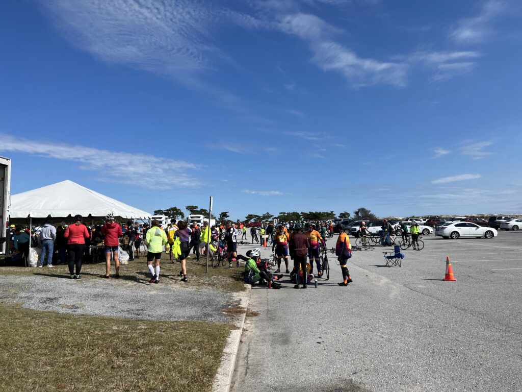
Food tent at Rest-3, Assateague Is.

I also knew then that I was screwed on nutrition. One bagel is all I grabbed from four rest stops. No fluids. After the ride when I checked, I had consumed slightly more than one bottle of fluid over 100 miles.

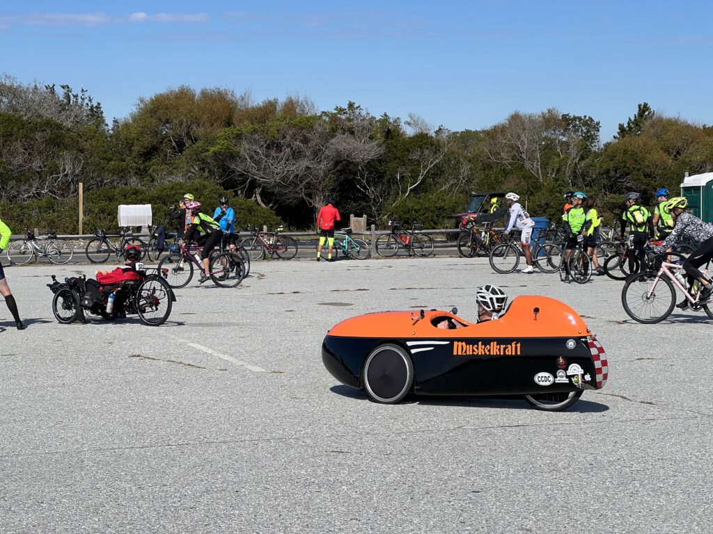
Rest-3 at Assateague Is.

I continued on. After going through Berlin, a larger group went by and I started to go with them. But this was a solo ride. I passed two accident scenes with a cyclist down. Both were in groups. I don’t know these people but I know they are not professional bike handlers. It wasn’t worth it riding in the big groups that form on this ride.

Muscrat Love. I see this guy almost every year.

I found a side road outside of Berlin to go down and have a nature break. As I got back on the road a group of Major Taylor Cycling Club riders went by. They were going just a little faster than me and I was drawn in. It was easier than fighting the wind.

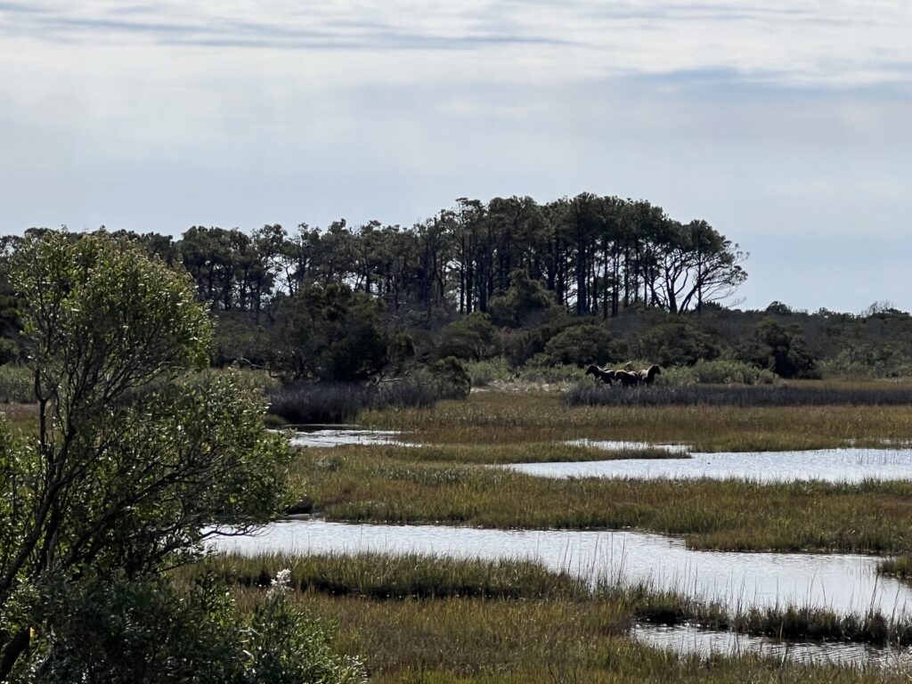
The horses on Assateague. They were the only ones I saw but I saw some.

Not sure how long they were together but there soon was a split with half the group riding off the front. Since I was a passenger in the back I was caught out by the split. The new group was slower and smaller.

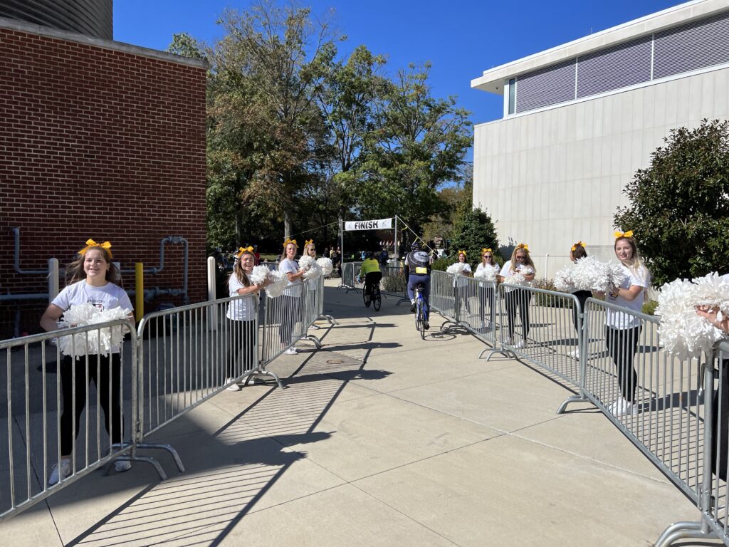
Salisbury cheerleaders at the finish

It was here that my ride changed. Every year I have done this ride there was something special about it. The first couple of years I met and rode with some riders from the Blair Cycling Club (Altoona, Pa.). In 2018 I met Sandra. She had been dropped by two friends and I basically towed her the last 60 miles. Then she left without saying goodbye or thank you. In 2019 I met Andrew & Staci, two cyclists riding their first Metric. There was always something magical but not this year. Not in 2022, nothing.

I rode solo most of the day. I was reflecting on this may be my last Sea Gull. There was nothing special about this ride. Around M90 we passed a young lady struggling. By struggling I mean she looked like she was capable of going faster but was pedaling squares.

I was at the back and I told her that she would do well to hang with us. She thanked me and she jumped in. We were in twos at that time so she was on the back with me. Sarah* made it a mile at pace but then tailed off. I quickly decided to drop with her.

Brief convo – “Have you done this century before (not have you done a century before)?” And Sarah told me this was her first. I knew then I would help get her home, if not at a great pace then at least at her pace. Although we rode side by side a little bit, I mostly tried to have her follow my wheel as we were into a brutal headwind (last 30 miles). I never could get the pace right as she kept losing my wheel.

But for the last 10 miles we talked and I encouraged Sarah. Some of it was cycling. Some of it was just about life. This may have been the best I felt towards the end of a century but it was nice for me too to have a diversion. She made it and I was as proud as she was. (But she refused to ride an additional 25 miles with me.)

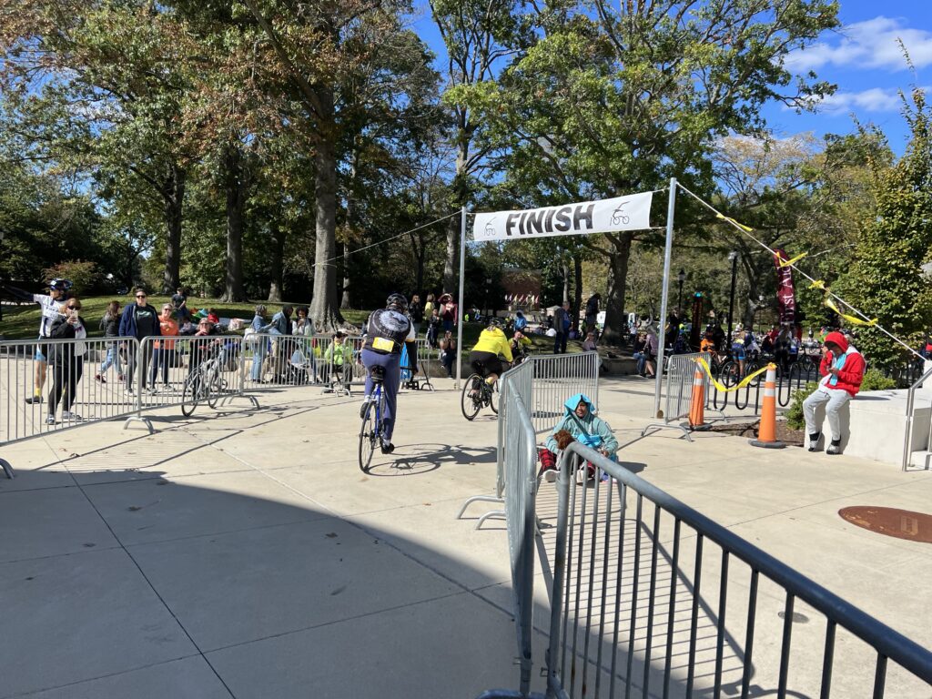
The Finish

For a ride that had nothing for 90 miles, just being able to help Sarah gave my ride meaning. It was a great Sea Gull Century.

Windsock Direction of Wind

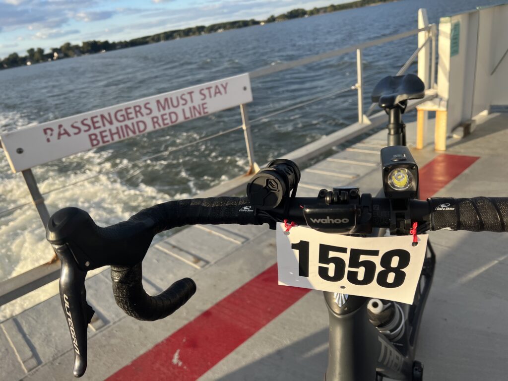
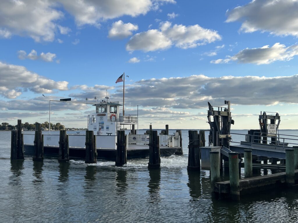
As for those additional 25 miles. I love the Oxford-Bellevue Ferry. I rode it yesterday on my way to Ocean City and thought that after the Century I would stop there on the way home. The reason was two-fold. First, this would be my last planned ride in Easton, Md. for the year. And second, I wanted to see how my body would respond to 125 miles. Even more, how it would respond to 25 more after riding 100 with a little break (driving).

A boat in the Tred Avon River, Oxford, Md.

I drove to Oxford and parked at the dock. I started riding and I felt good. There was no sluggishness in the legs. As I headed toward Easton I saw I was seconds off my best pace but could not lift the pace anymore. So the legs felt good but I really couldn’t dig much deeper.

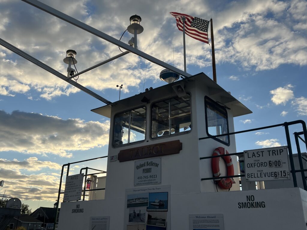
I then had this fear. I would miss the last ferry. I saw a sign yesterday that it was at 6:15 p.m. I would have to ride hard the entire way. If I missed the ferry I would have to turn back and the 22-mile loop would be a 44-mile ride after the Sea Gull. And I would be pushing darkness.

Crossing the Tred Avon River

When I got to the last three miles I was rolling. I came in 1:00 faster than my previous PR. I had already been designated the “Local Legend” of the “Bellevue Breezeway” with four attempts in the last 90 days. This would be ride number five.

The Talbot, Bellevue, Md.

I got to the ferry as it was coming in. I wanted to think I made the last ferry of the day but after I disembarked I saw it make another trip to Bellevue.

The Talbot

I’ve been riding well and finished the Century with a 17.9 mph average. Maybe better, I didn’t have a drop off in my last 22 miles as I finished the loop with an 18.1 average. Overall, I averaged 18.0 on the day. Very well down (pat on my own back here).

A proper way to finish 125 miles

Maybe most importantly, this Sea Gull had a purpose. Maybe I’ll return. You never know when magic will happen.

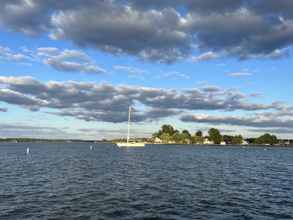
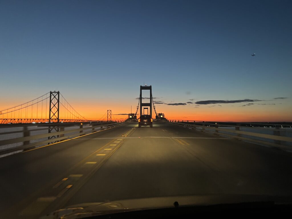
End of a long day. Chesapeake Bay Bridge


DISTANCE: 125 miles
SPEED: 18.0 mph
WEIGHT: 176 pounds

Maryland Cycling Classic

SPARKS, MARYLAND

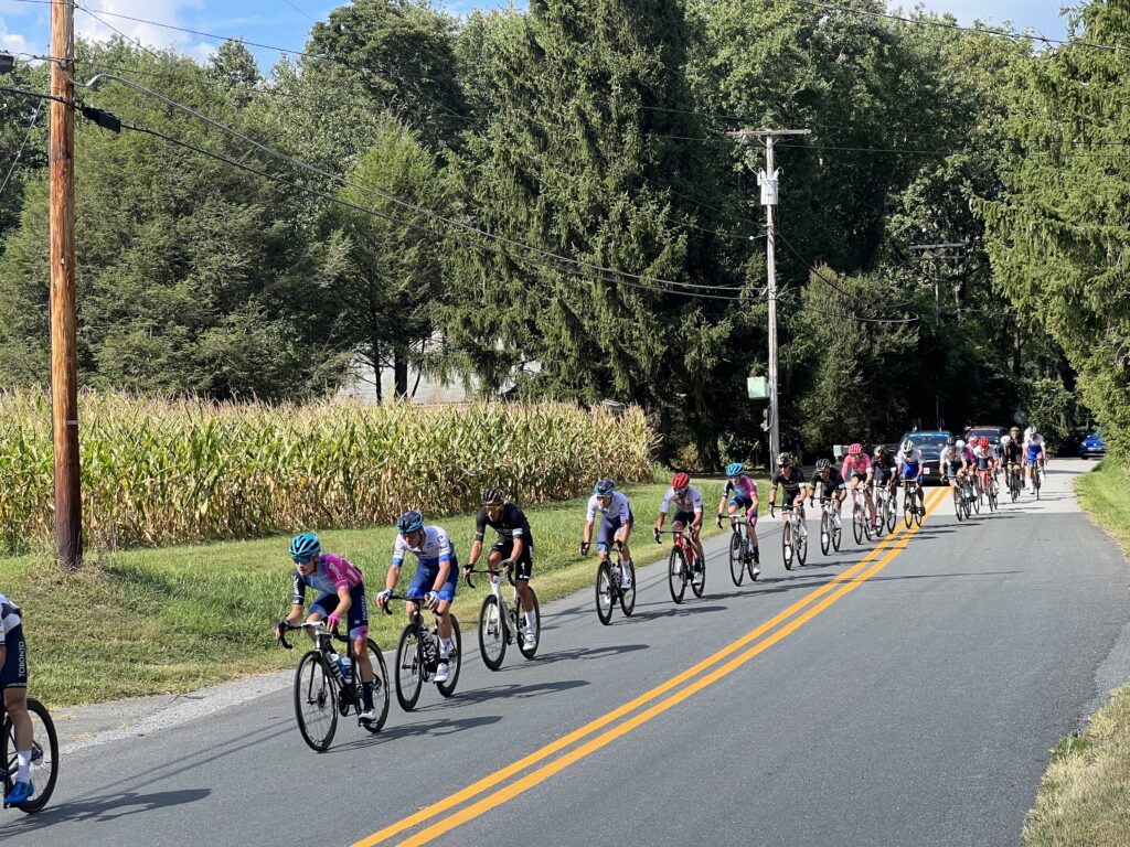
UCI World Tour professional cycling returns to the U.S. This was the first race in three years held on U.S. soil. Welcome to the Maryland Cycling Classic.

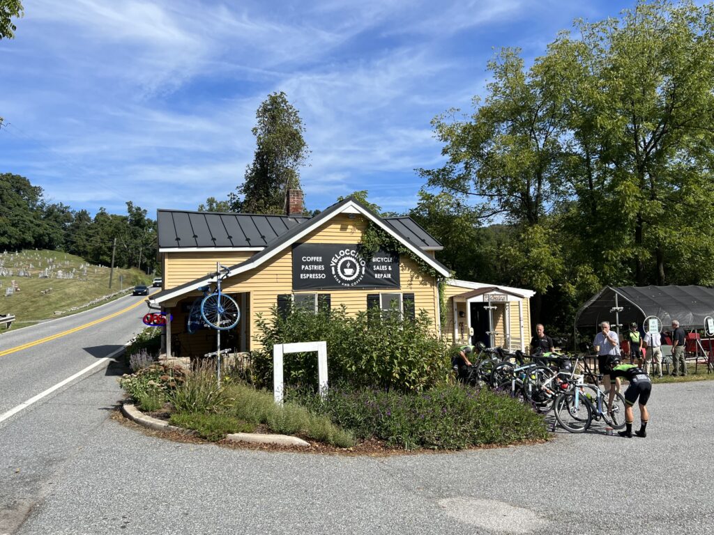
Velocinno

I wanted to be a part of it so I volunteered as a course marshal. There were two, maybe three, time slot options to be a volunteer. I signed up for the early one which was 1:30-4:30. I knew that would place me in Baltimore County somewhere. I did not want to be assigned in the city – too much commotion and unsure where I could park then ride to my assignment.

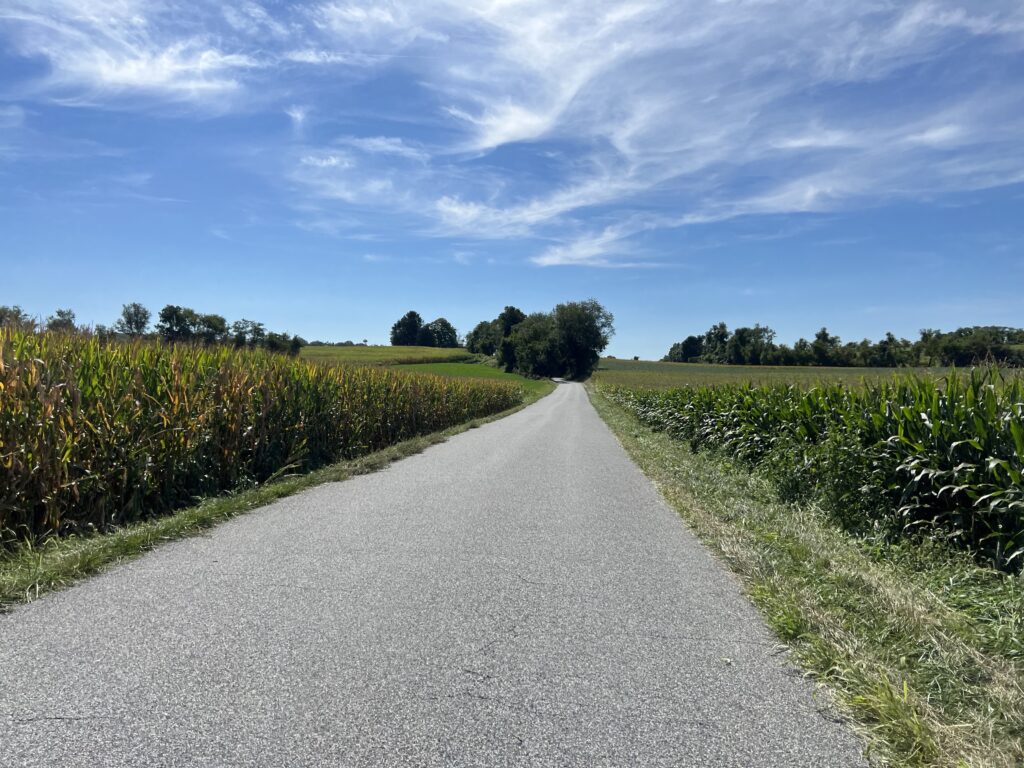
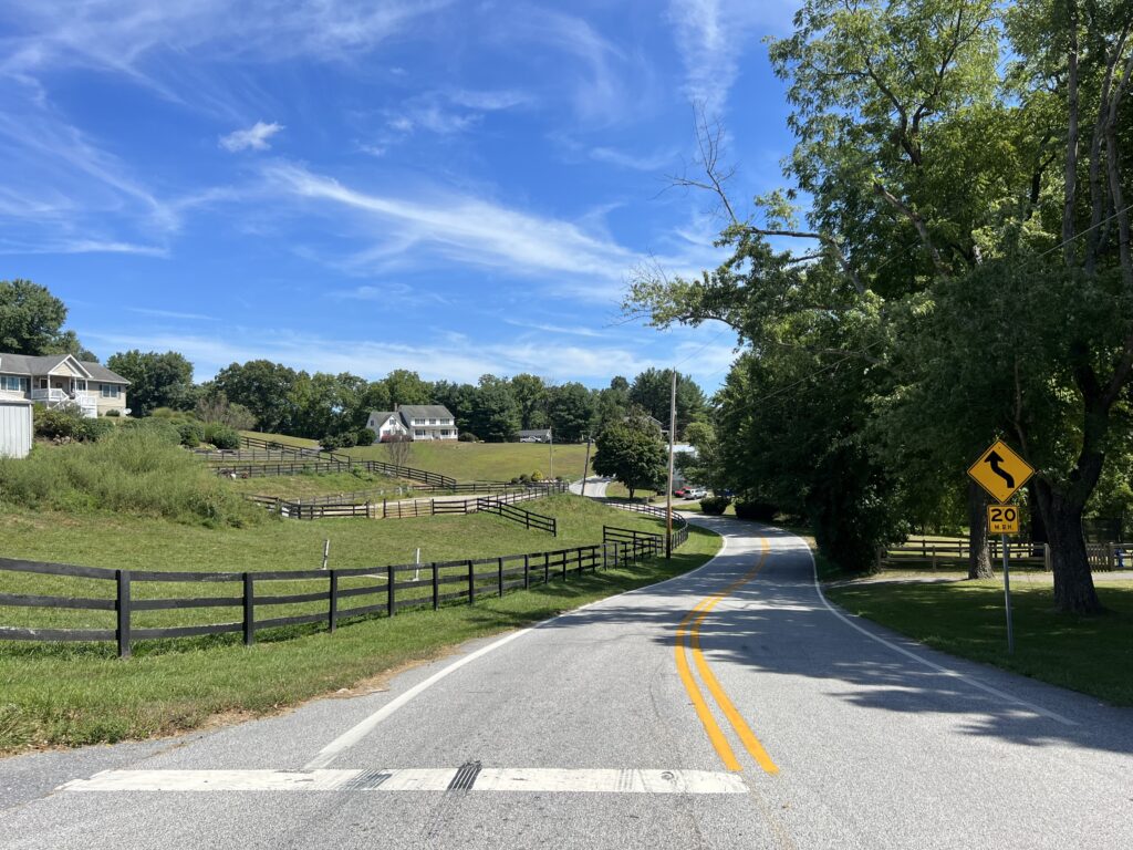
Farm country

As the race date drew closer so did my frustration with the lack of communication from the organization. The signup form had an auto response which gave no useful information. The first email communications came on Sunday, August 28 which was just one week from the event.

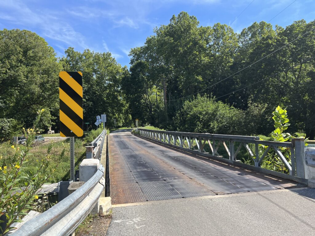
Metal plate bridge

I would have liked to have known in advance about the charity ride held yesterday. I found out about it when the volunteer information was sent on Tuesday, August 30. Since most volunteers are probably cyclists, it seemed to me that this info should have been disseminated immediately, even if just in the auto-response.

UHCCF Bridges of Hope Ride, presented by Kelly Benefits

Although, with a very high fundraising threshold ($500) and a deadline that had already passed, it meant that your credit card would be charged for the full amount if you signed up. I decided against doing the charity ride. But I would find the route and ride some of it, especially for the parts that overlapped with the pro circuit.

Riding the route would give me an idea of what the pros would be riding. Plus I could swing by and pick up my volunteer materials. And hopefully, I could see where I would be a course marshal.

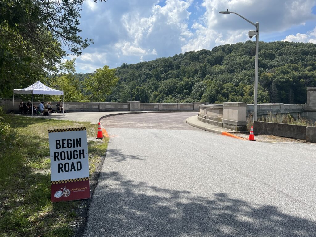
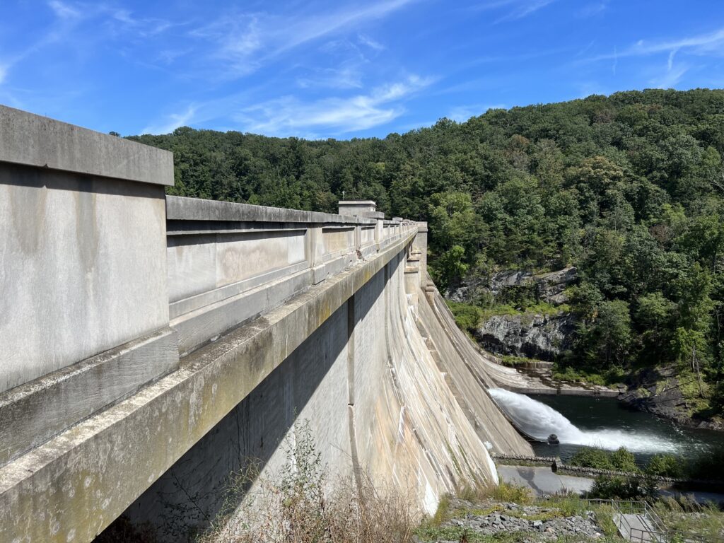
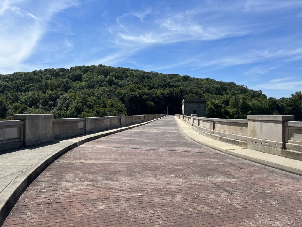
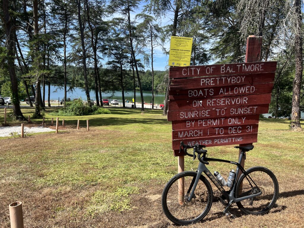
Prettyboy Dam. The surface is brick.

We had Zoom training for volunteers. I did mine on Tuesday, August 30. We were told our assignment posts would be sent shortly but nothing came.

Prettyboy Dam

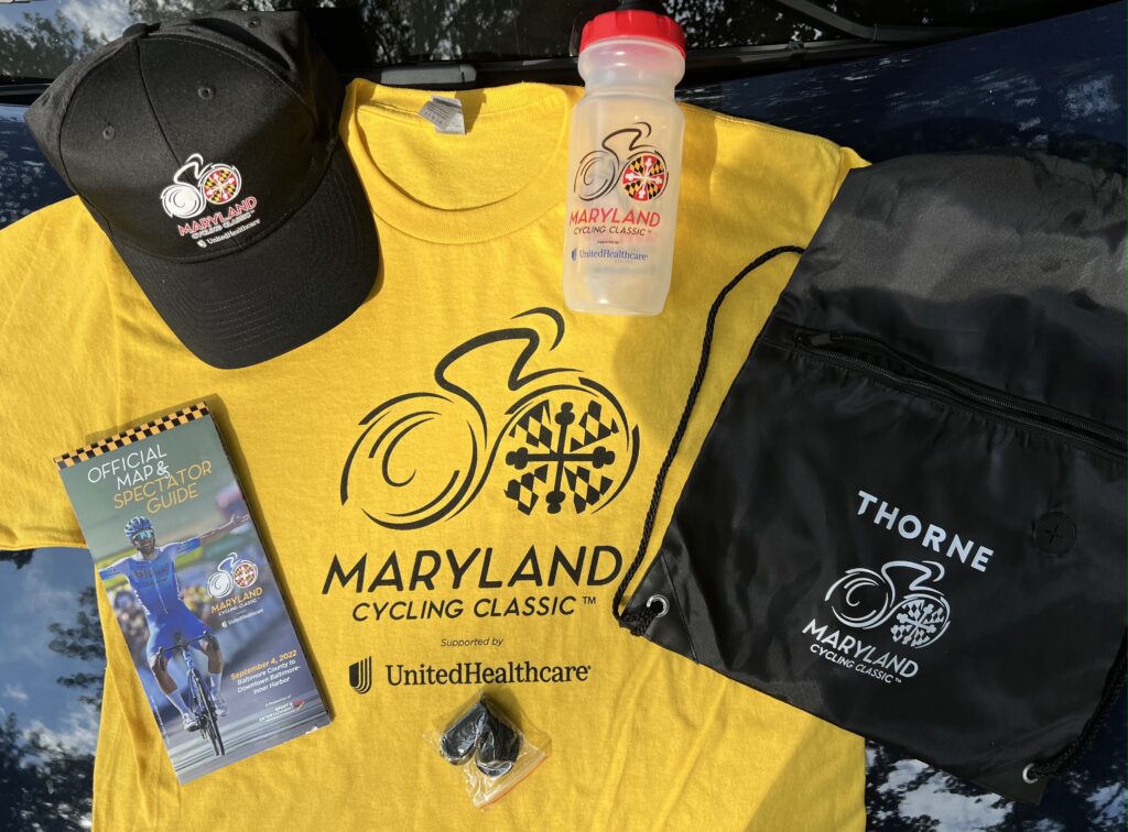
Volunteer swag was a T-shirt, water bottle, and some other items. Volunteer check-in was Thursday in Baltimore, Friday in Hunt Valley, and Sunday in either location. I really did not want to make two trips to Baltimore. But I didn’t know where my assignment was either and without that information, I didn’t know if I could check in on Sunday and still get to my location. So I went on Friday to check-in and to go for a ride.

Volunteer materials

I looked at the 50 km and 100 km routes for the charity ride and then designed my own 61 km (38 miles) route. I checked email and text for my volunteer location up until the time I arrived at Velocinno. If I knew where I was going to be I could ride to the location and check it out.

Nothing came in until 12:36 p.m. on Friday. I was just about finished with my ride. This was virgin riding territory for me. Intersections meant nothing to me until I was able to open a map.

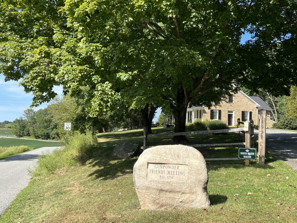
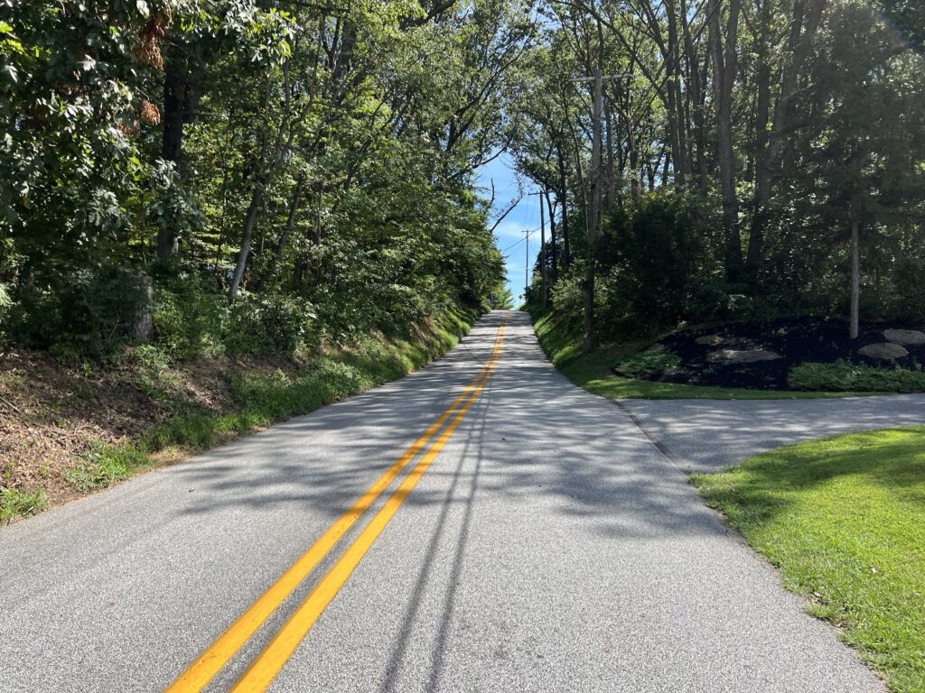
I parked right across a creek from Velocinno at a fire station in Sparks, Md. It looked like a neat bike (and coffee) shop and a rider today told me it was the cycling center for the area. Although I had to ride on Falls Road / Md. Rte 25, it was only for about 200-300 meters before I turned onto a metal grate bridge. And just like that, I was in the country. At first, I was on rolling roads but those soon gave way to hilly. There were no flat sections.

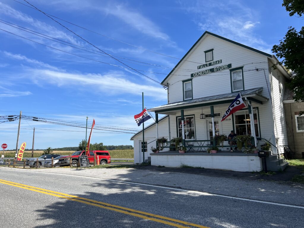
Falls Road General Store at Falls Road and Mt. Carmel Road

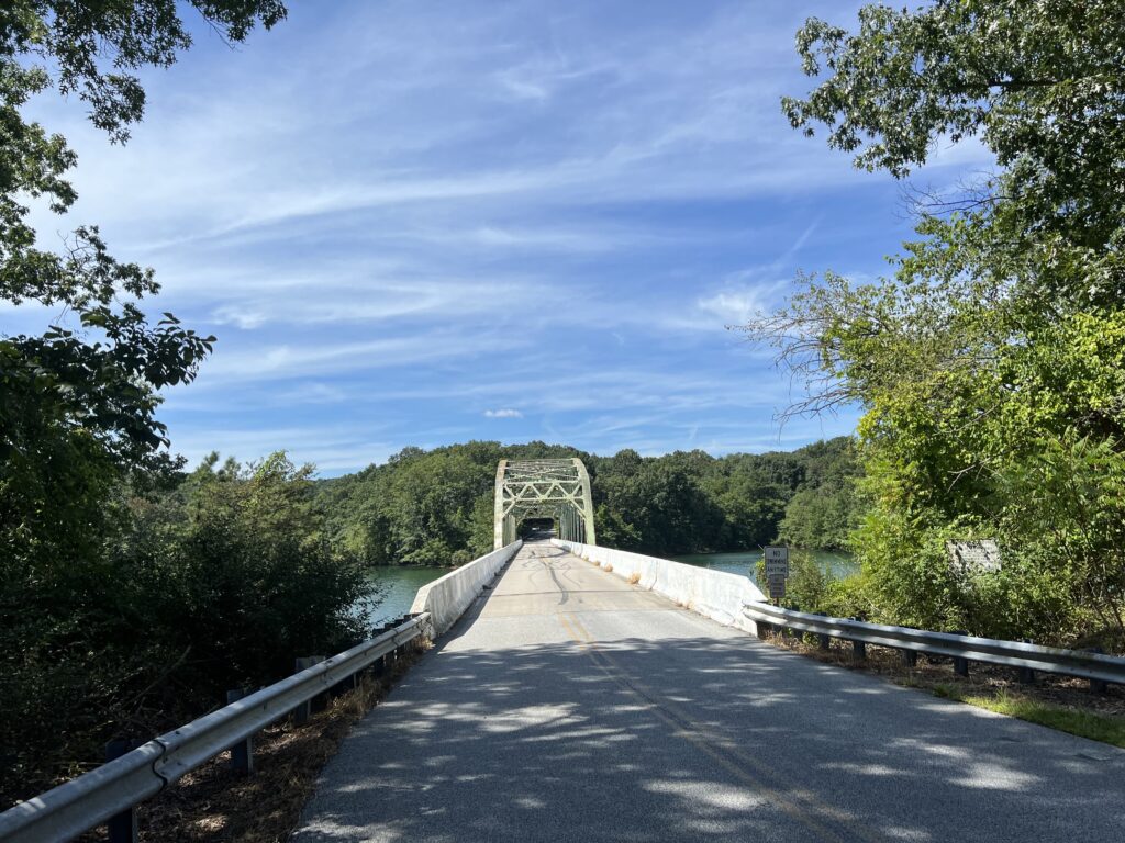
It was pretty. Northern Baltimore County looks a lot like southern Pa. I was just 5.5 miles from the Pa. state line (by bike, maybe 4.5 as the crow flies) and the race got within one half-mile of Pennsylvania. Much of my ride was around Prettyboy Reservoir. There were two bridge crossings and one dam crossing. I was hoping for more water views but much of the time the roads were in a forest.

Crossing Prettyboy Reservoir

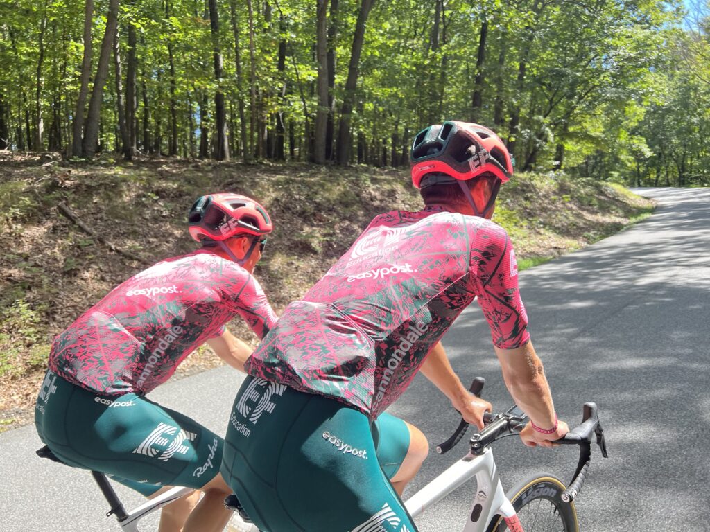
I was on Sparks Hill Road, a climb on the Reservoir Loop. I wasn’t going hard but I certainly wasn’t inching my way up. Almost out of nowhere came a rider sprinting past me. I recognized the kit of EF Education First-EZ post. I suspect it was Daniel Arroyave Canas, a rider from Columbia.

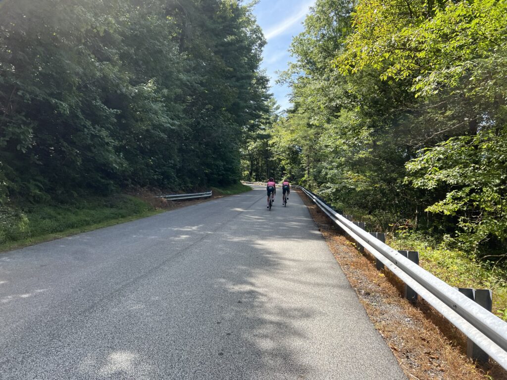
Two EF Education riders going up the road

After a descent around a corner of the reservoir, Sparks Road kicked up again. This time my radar showed I was being approached and I glanced back and saw four riders from EF Education First. I grabbed my phone to take a picture and as they came by, riding not much faster than me, one called me by name. I suspect this was Nielsen Powless.

Passing me on the climb

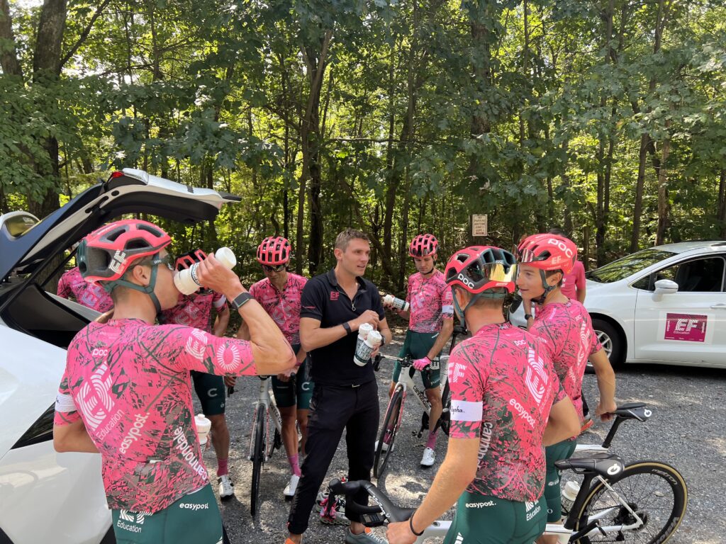
At the top of the climb, their team car was pulled over and all seven riders stopped. It didn’t look like the right time for a photo op although I stopped and put a foot down to take their photo.

Magnus Cort-Nielsen just to the left of the team director, Tejay Van Garderen (in black)

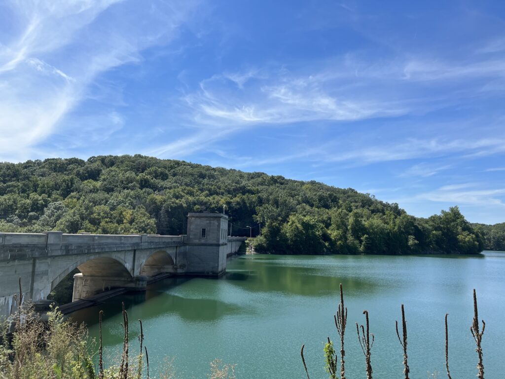
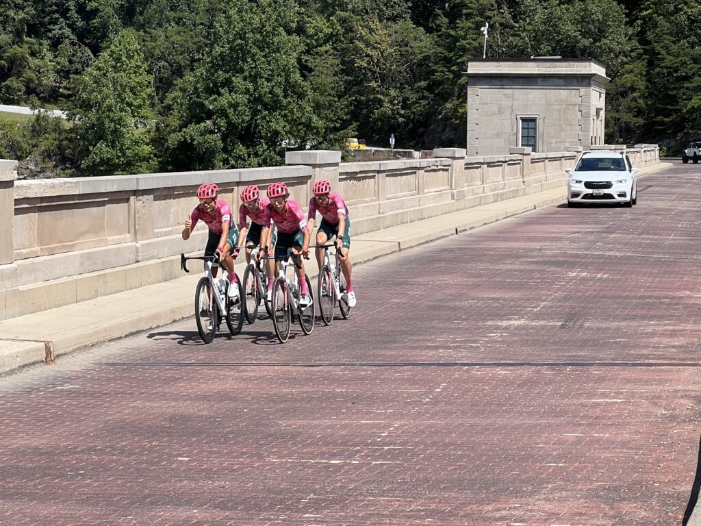
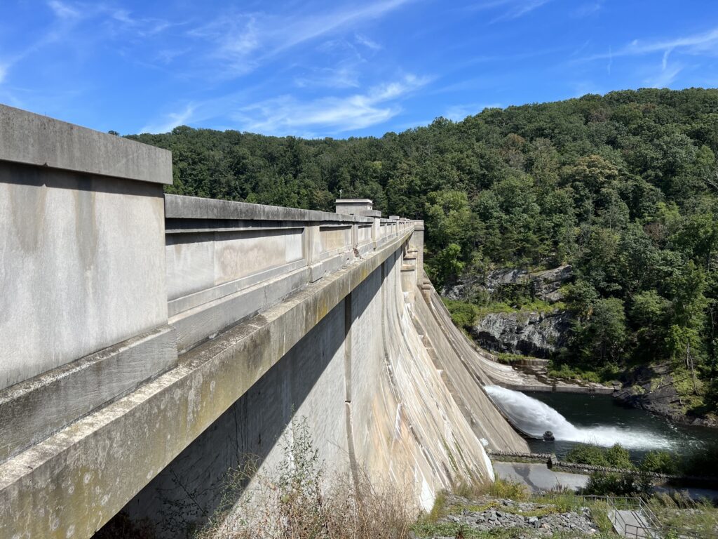
I didn’t hang around but took off and enjoyed the descent to the Prettyboy Reservoir dam. It is quite an impressive structure and I slowly went across it. After snapping a photo of the dam itself I was surprised to see four of the EF Education First – EZ Post riders come rolling across the dam.

Magnus Cort-Neilsen gives me a thumbs up as the team rolls by

My fun done for the day, I was ready to stop. It was hot, around 88℉ (31C). And although I was only at Mile 30, I was starting to feel the effects of the heat and the constant ups and downs. The last four miles would be all downhill so I did something right.

Prettyboy Dam

When I finished I got a text with my assignment. If this had come 60 minutes earlier I could have scouted it out. Oh well. I drove to Hunt Valley to pick up my T-shirt and then made the two-hour drive home.

Prettyboy Dam

It wasn’t until Friday at 7:30 p.m. that an email came in with our assignments. My name was nowhere to be found on the attachment. I immediately replied asking for clarification. Since I was assigned at Falls Road and Prettyboy Reservoir Road I checked the spreadsheet and my name was nowhere to be found.

The assignment was on a loop that the riders would contest twice as they made 1 3/4 passes around the reservoir. On the second pass, they did list a volunteer’s name, but it wasn’t mine. So I asked for clarification and never received a reply.

The assignment was also confusing because the direction on the first pass was to flag the riders to continue straight while the second pass was to tell them to turn right. Absent a response from the organization, I would report as directed and just figure things out. And that is what happened.

My handiwork

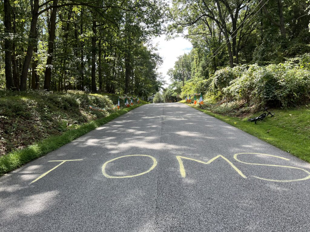
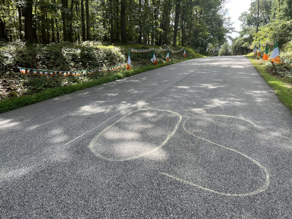
Although the text said to be there by 1:30, I was there at noon today. I rode a short bit and chalked the road for Tom Skujins. An email that went out earlier today said a course marshal captain would be by and hand out flags to those who were signaling direction on the course. None came by. Not to worry because I brought a referee flag.

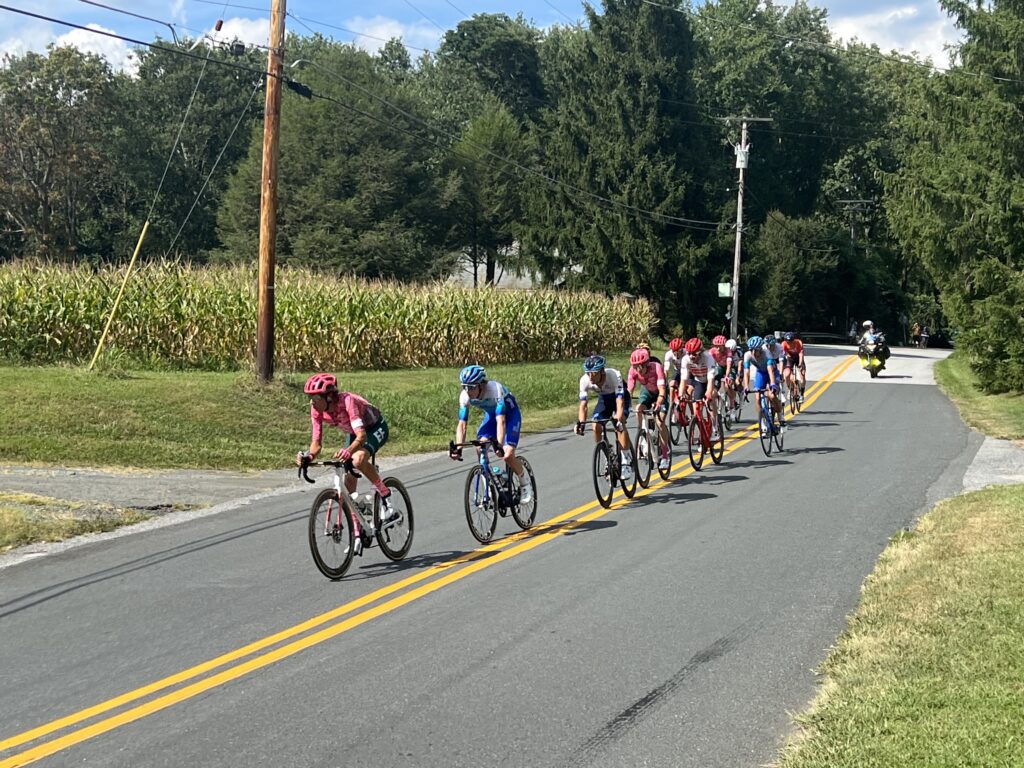
Breakaway group on Pass 2

Around 2:30 the other volunteer showed up. We had a brief discussion and he left for another corner presumably to spectate. A few people started gathering on our corner. As the race got close I got into a safe position off the road yet one where the riders could see me. There was a couple there and I told them I was giving them fair warning – I was going to be blowing a whistle hard.

Toms Skujins is the lead rider
I am in yellow flagging the direction of the sharp curve

Although I have blown the whistle in more than 1,000 soccer matches, I don’t think I have been more nervous than blowing the whistle for 25 riders approaching a sharp curve at 30 mph and me waving a flag. All got by safely so I must have done a good job.

On Yeoho Road

Since there would be about 30 minutes before the second pass, I went back to sit in the chair that I had brought. A woman had two dogs and asked me a question. The most common question I got today was how many riders were there. Answer: 112 (16 teams of seven riders). Her dog, Rudy, barked at me and I tried to make nice. I leaned down and held out my fist. The dog got close as though he was going to sniff and then lunged at me. Nipped my leg. NEVER BRING A DOG TO A BIKE RACE!!

Riders going over TOMS written on the road

The second pass was uneventful. There were some riders way off the back, mixed in with the spectator cyclists who were back on course. I had to blow my whistle once at four cyclists to get off the road as the race was still on, although it wasn’t the front of the race.

Remnants of the peleton on Pass 2

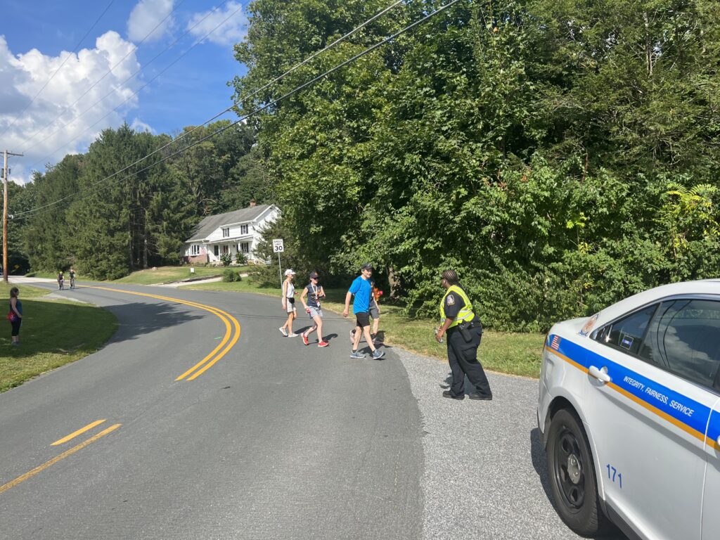
I had a great experience with the Baltimore County policeman assigned to the intersection. It was a sweeping right-hand corner with Fall Road coming in from the left. I rode through here on Friday and never once did I wonder which was to go. It was clear the road went to the right. This was not a location where a course marshal was needed. Let alone two that were assigned.

In the corner at Falls Road

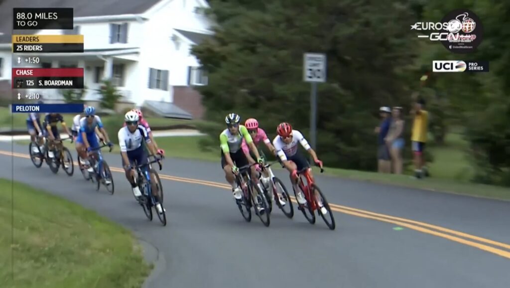
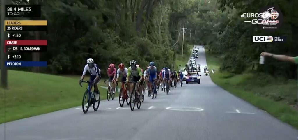
By the time the race passed a second time, with 74 miles to go, it had been completely blown apart. The teams may have expected an early breakaway would be allowed to form with a 5-6 minute lead and then pulled back with 4-5 miles to go. Instead, 25 riders got away, built a lead to four minutes, and the peloton just became one of many chase groups 10 minutes down.

Prettyboy Dam

Ultimately, only 46 riders finished the race, the last one to cross was Callum Ormiston (Pro Touch) at 21:17. Pre-race favorites Michael Matthews (Team BikeExchange-Jayco) and Dylan Gorenewegen (Team BikeExchange-Jayco) missed out, finishing at 9:54.

On Yeoho Road

Eventually, a 12-man group broke free which became a four-man group for much of the last 10 miles but was joined by Andrea Piccolo (EF Education First-EZ Post) with two miles to go. In that four-man group that was at the front all day were Sep Vanmarcke (Israel-Premier Tech), Nickolas Zukowaky (Human Powered Health), Nelison Poweless (EF Education First-EZ Post), and Toms Skuijins (Trek-Segafredo).

That would be the finish order with a four-up sprint as Piccolo dropped off. I was hoping that Toms would pull this one out. But a finishing sprint involves not only the fast men but perfect tactics including when to go. And, of course, whose legs still have anything left.

I did not get down to the Inner Harbor to see the finish. Traffic leaving my spot was too heavy although with planning, maybe I could have. But I watched it on TV (the GCN+ app).

Prettyboy Reservoir

I have been a course marshal for USA Cycling Nationals, UCI World Championships, the Amgen Tour of California, and the Tour of Pennsylvania. They all had different challenges. ATOC seemed to need marshals at the start and finish towns. They had different coordinators for each town and they used traveling marshals in the middle. The Maryland Cycling Classic assigned marshals for the entire course so, in some ways, it was a much bigger challenge. From the perspective of my history at other events, they had more hiccups than my other events. However, the second time around will be better and I would love to go back. What a great day!


First attempt at spelling TOMS. Fail!


Source: ProCyclingStats.com
If there’s any question that Americans only know the Tour de France
This is from the race promotion kit

The Call of the Mountain

MOUNT WASHINGTON, NEW HAMPSHIRE

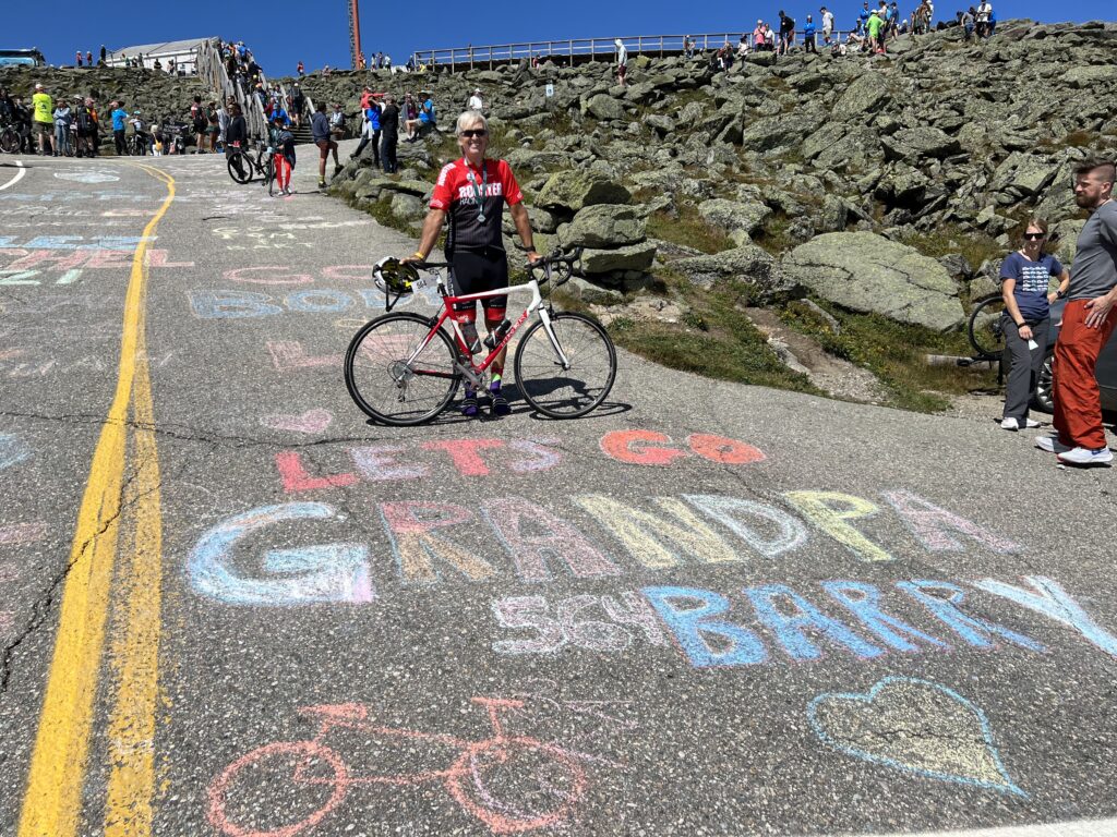
I did a thing. 

To understand why we have to go back 21 years. It was 2001 and I was in awe of watching the Tour de France. I loved watching those big climbs in France. I knew I could never climb like those boys but wanted to test myself on one of those mountains.

I watched with great interest the Tours in 2001-2005 always dreaming of a time I would tackle those French climbs. As I dreamed of a future trip to France, in 2006 I learned of a tougher climb than any French mountain in the Tour de France. And that was the Mount Washington Auto Road Bicycle Hillclimb in New Hampshire.

Held each August and immensely popular, I made a note when registration for the hillclimb opened so that I could sign up. Registration opened at 6:00 am (or possibly 6:30) on February 1, 2006. I drove into work and at 6:55 a.m. I logged in to register. It had already sold out.

That would repeat itself in 2007. But it had become so popular that they opened a second race called Newton’s Revenge to be held 07/07/07. So I registered for that one. It was the same exact course but on a different date and with a smaller field size since this one did not sell out.

Why I didn’t find this in 2006 I don’t know. My research indicates that Newton’s Revenge was held from 2006-2015.

I went to New Hampshire in 2007 but the race, and the race rain date, were canceled due to dangerous weather on the mountain. Specifically, 70-mph winds at the summit, rime ice and freezing temperatures, and rain overnight made the gravel (dirt) section nearly impossible to pedal a bike. I was disappointed but also maybe a tad relieved.

And so I would return in 2008. It was the same deal with registration although this time I purposely waited for MWARBH to sell out and for Newton’s Revenge to open up. I liked the thought of a July race with a smaller field. And that became my first race up the mountain. 

My goal in 2008 was simply to finish. I made no change to the gearing on my bike (which was a big mistake), crashed, and said “Never Again!” as I finished.

Suffer face on the 22% Grade – 2008
I thought I would fall over at this point – but didn’t

By the time we got down off the mountain, I was spewing “crazy talk” about doing it again in 2009 but with the right gearing. The Event Director, Mary Power, told me these mountains get in your blood and you want to come back every year. I didn’t believe her.

So in 2009, I planned to return to Newton’s Revenge with better gearing. But my training was interrupted due to a broken wrist. Mary asked if I could slide to the sold-out MWARBH in August. I agreed but then got a cancer diagnosis. At first I canceled my plans to go to Mt. Washington but then — I got permission from my doctor to delay cancer treatment and raced MWARBH in 2009.

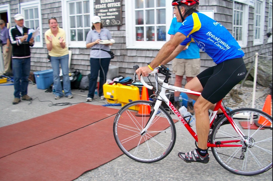
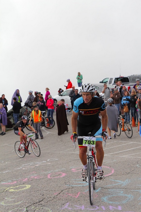
Crossing the finish line in 2009

And that should have been it. It was so damn hard in 2008 and I went back in 2009 and improved my time by 10 minutes.

Training for the 2009 MWARBH was my only break from cancer. I was able to lose myself in my riding and forget about cancer. I knew as I was riding the mountain in 2009 that my recovery goal for 2010 would be to return cancer-free. And I did.

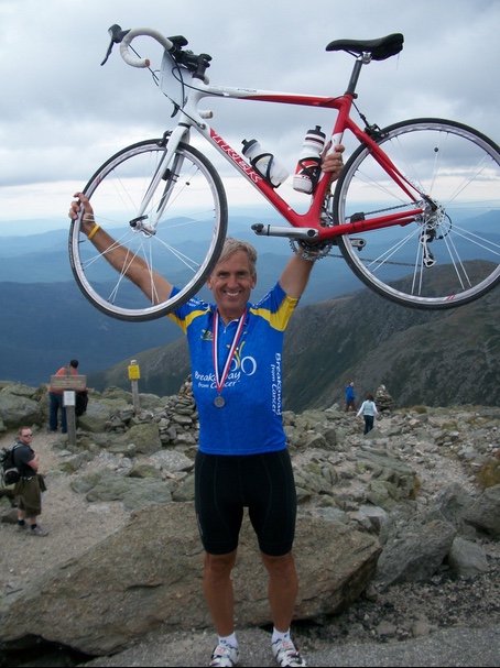
My third time up the Rock Pile – 2010

[Generally, I wore a different kit every year which, if nothing else, makes it easier to identify the year. However, I wore the same kit in two successive years. In 2009 I wore the Amgen Tour of California BREAKAWAY FROM CANCER jersey. It was a leader jersey awarded daily to the “most courageous rider” instead of the traditional “most aggressive rider.” But the message meant so much to me in my cancer battle that I bought it and wore it. And when I returned cancer-free in 2010, I wore it again. The difference in the photos is in 2009 I wore black shoes and black socks while in 2010 I wore white shoes and white socks. There was not a message or hidden meaning by the colors.]

That should have been it. But my cleats got clogged with sand and I couldn’t clip in. I put in a bad time. That was not a way to end. So in 2011, I returned. Each year my time got better so I decided to go back and better my time. Then I had my worst time ever. And I couldn’t end on that note so I went back in 2012.

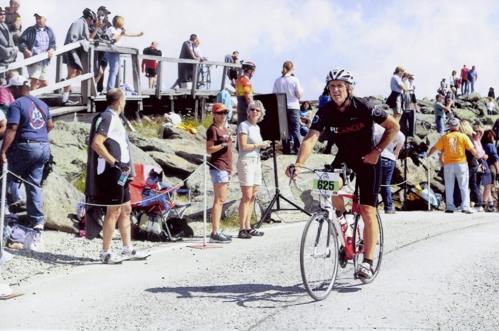
Approaching the finish line resigned with a crappy time – 2011 MWARBH

It was in 2012 that the Gubinski family gave me a ride down. When we reached the bottom they asked if I would come back in 2013 if they did. And I agreed. Luca and Alexa killed it.

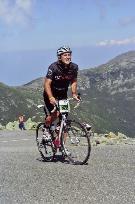
Six-Mile Curve – 2011

And 2013 would have ended it but Luca and Alex’s dad, Vic, said he planned to ride in 2014. So I signed up again.

At the finish 2012. Photo credit: Vic Gubnisnki

Of course, all three beat me. Alexa was her age group winner and second overall. But that was it. And with that, in 2014, I retired for good after seven consecutive races.

The 22% finishing grade at Mt. Washington – 2013

Multiple winner, Phil Gaimon, asked me to return in 2017 when he won again, but I don’t think I could have. I weighed too much and had developed too many knee problems. I stayed retired.

Almost to the top – MWARBH 2014

Driven by weight loss in 2020, I started thinking about returning someday. The 2020 event was canceled and the 2021 event opened but was greatly reduced in size. The emails stated that the tiered registration would be

  1. Those who have completed 10 or more races
  2. Those who have completed 5 or more races
  3. Those who registered last year but were canceled 
  4. Open

The organizers did not think it would get to open registration this year. I don’t know if it did.

At the same time, I had some scary cardiac issues. I passed my tests and then got my cardiologist’s approval to race up a mountain.

The email came with a short registration window. I mentioned to my wife that I’d like a new MWARBH t-shirt. When she asked where you get one I told her you had to race up this mountain. 

So in 2021, I returned. I came out of retirement. My trusted Trek Pilot was on the carbon fiber scrap heap. I rode my Trek Checkpoint AL5. That is an aluminum bike. It may as well have been steel. It seemed heavy. I recorded my worst time ever. And I did not get a new T-shirt.

The Summit – MWARBH – 2021

And I couldn’t retire on that note. I pulled my Pilot back from the scrap heap. We got the bike ready to roll. And so yesterday, I did a thing.

MWARBH 2021

It was my ninth climb of the Rockpile. Despite a possible Mt. Washington Hall of Fame for riders who completed 10, this may have satisfied me enough. I can just say, I did a thing.

I have no plans for future hillclimbs.

But next year they are planning a special event for the 50th anniversary. 🙂

Chickens on the Loose! – MWARBH 2022

GORHAM, NEW HAMPSHIRE

This is the hardest hill climb in America. Change my mind.

Last year I sucked. It was a “comeback” after seven years off and it was awful. I could not end my years of mediocrity on that sour note.

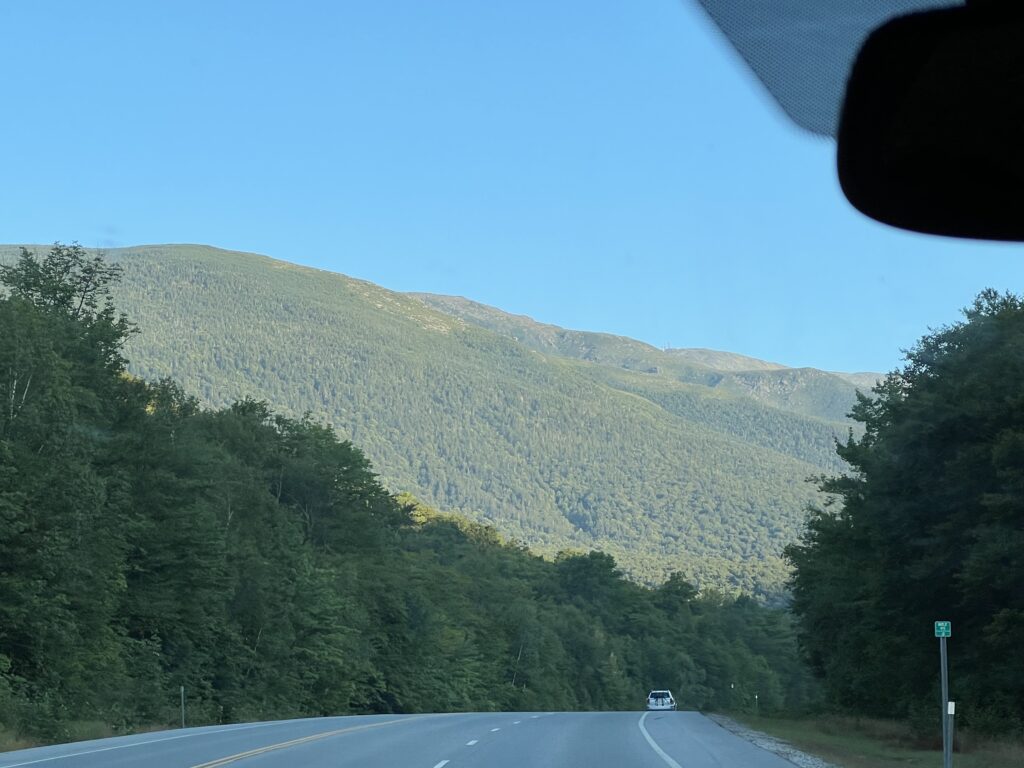
The drive out to the MWARBH on White Mountain Highway.
My stomach always starts to churn when I see Mt. Washington out in the distance.

In 2020 my Trek Pilot had a broken chain stay and was basically totaled by the warranty department at Trek. It was my climbing bike for seven previous races, 2008-2014. So last year I rode its replacement, my aluminum Trek Checkpoint gravel bike. It was heavy, and although it may have matched the gearing of the Pilot, it didn’t feel that way. Actually, it didn’t match the gearing exactly either.

Pre-ride warm-ups are also important

After hanging in my garage for two years and destined for the landfill, I decided I would repair the Pilot. Sure, the cost may have been more than the bike was worth but it has been a special bike to me. I sent the frame to Ruckus Composites in Portland, Oregon, and then had Tom Szeide at the Bike Lane in Reston, restore it to its original parts. And I signed up for the Hillclimb. Again.

I got my bike back and everything was on plan but then an awful thing happened. I stepped on the scales. Actually, that wasn’t awful. What was awful was looking down at the scales. It was June 1. And I weighed 200 pounds.

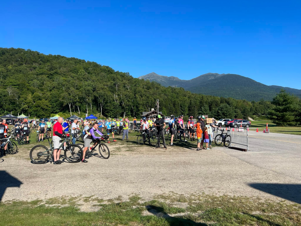
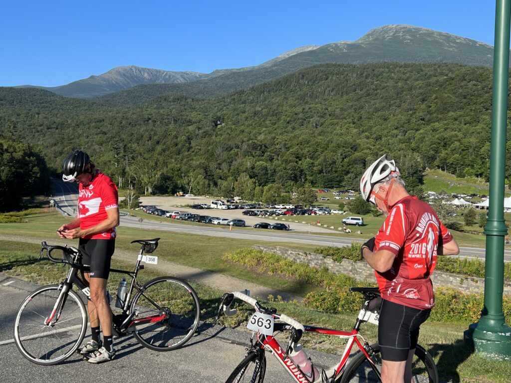
Early morning at the base of MWARBH

I don’t know what happened. I had been so diligent about watching my weight since I lost 50 pounds in 2020. But I felt so good that I quit watching believing that a change in lifestyle meant I would never gain weight again. And apparently, I was gaining. Well, not apparently, I had gained back much of the weight.

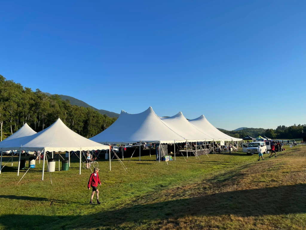
The event tents at the MWARBH

There was no way I could race this climb as a Clydesdale. I had two months to lose 30 pounds. I wasn’t just in the Clydesdale category. If they had a plus I was Clydesdale+

And I did. It wasn’t easy and many may suggest that it was too much weight to lose in too short of time. But damn, am I proud of myself.

View from the parking lot at the Glen House

Ashley and Bryan agreed to come to Mt. Washington with me. Ashley first made the trip with me in 2007 when the race was canceled. Then she and Bryan came with me in 2008. And she came again in 2014. So this was her fourth trip to the mountain. But I really wanted my granddaughters there. There’s something very special about a grandfather being proud of his granddaughters and hopefully, granddaughters being proud of their grandfather.

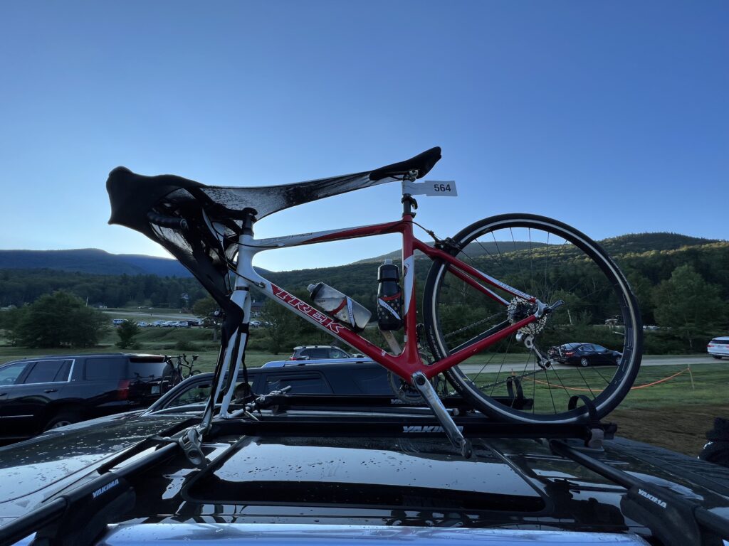
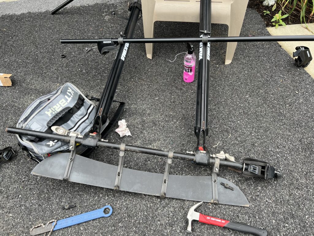
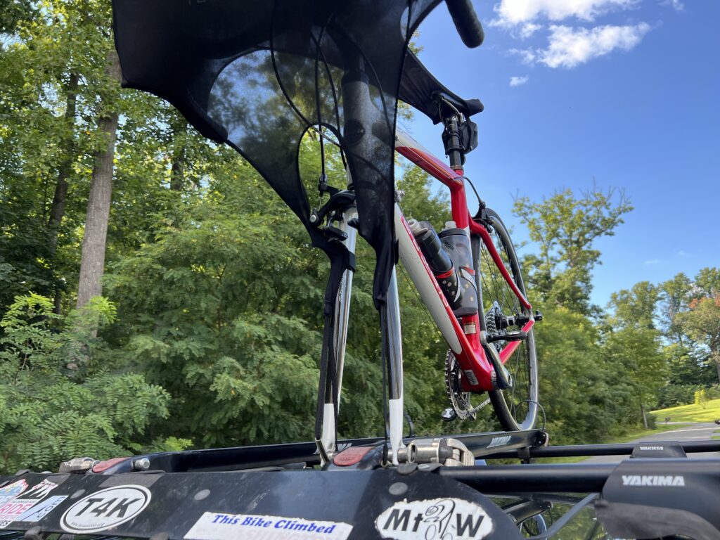
After looking at our options we settled on Ashley and Bryan driving their Kia Telluride. I put my Yakima roof rack on their car. I would have preferred to drive my car but my Ford Transit Connect does not have side rails that support my Yakima rack. I had to hurry to REI and buy 56″ crossbars since the 48″ bars I used on my RAV4 were a little short.

Installing new crossbars

I will say there is something special about a bike on the roof of a car. I love the look but normally prefer to keep the bike inside the car. We just didn’t have enough room for a party of five plus a bike in either of our cars.

Ready for New Hampshire

The MWARBH requires you to have a ride down. To encourage carpooling they waive the toll road fee for the vehicle and driver if you take two riders down the mountain. So I logged into a special site the MWARBH had created and posted that we had a spot. Bruce McDonald from Whitestown, Indiana, clicked on our carpool and added himself.

MWARBH Ride Down Match List

Bruce and I exchanged a couple of text messages hoping to meet at registration yesterday but our paths would not cross. Instead, we met today at 7:15 am in the registration tent. This would be his tenth ride up the mountain. I knew I would like him because when we met he was wearing a Steelers knit cap.

With two rider tickets in hand, Ashley and Bryan sat in the line of cars waiting to go up to the summit. All along, the race announcer was making comments that anyone still in the parking area is late, seemingly oblivious that the line was the queue and it wasn’t moving because they were collecting passenger tolls at the booth.

Riders (mostly) during the singing of the National Anthem

Unlike prior years, I decided not to go out and ride on White Mountain Highway as a warmup ride. I don’t think I would benefit from a pre-race ride of 2-4 miles. Instead, I stayed in the parking area. I was riding in the grass when Phil Gaimon rode by and called out my name. It’s pretty impressive when the race favorite knows your name and gives you a shout out.

First Wave of Riders – Phil Gaimon is closest to the camera in the front row

After watching the first two waves depart, in five-minute increments, I went across the bridge and the White Mountain Highway up to the parking lot of the Glen House. I wouldn’t call this a warm-up as much as simply pedaling off nervous energy. It was easier pedaling than just sitting around.

No longer says there is a mile section of dirt road

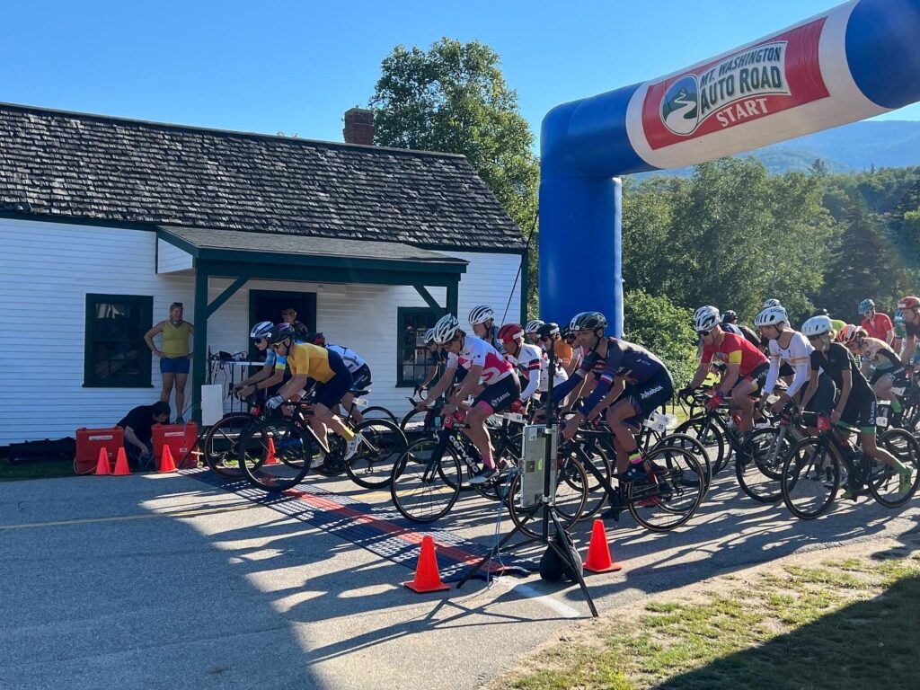
It was 8:51 when I left the parking lot and coasted downhill to the bridge and starting line. I started last in the last wave. The start cannon went off at 8:55.

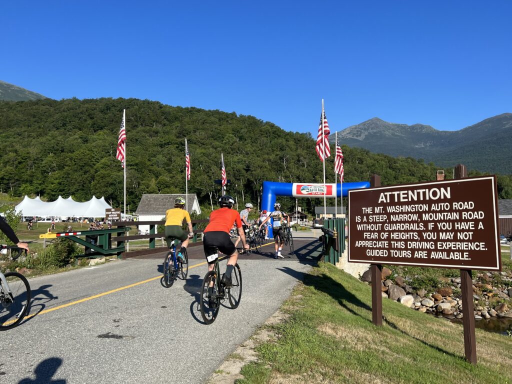
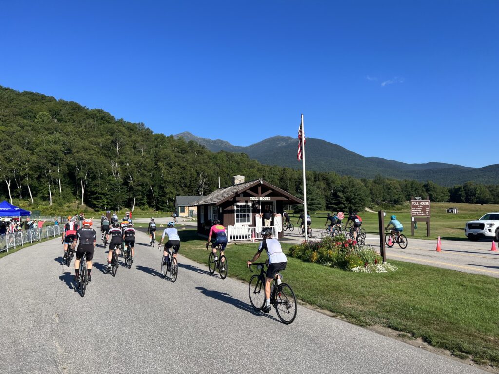
Wave 2 racing past the Toll Booth

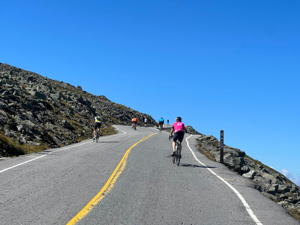
It was a warm day and I quickly was sweating profusely. I settled into my rhythm if such a thing existed. Perhaps if the road maintained a 12% grade a rhythm could be found. But it is more of an undulating climb usually between 10-15%.

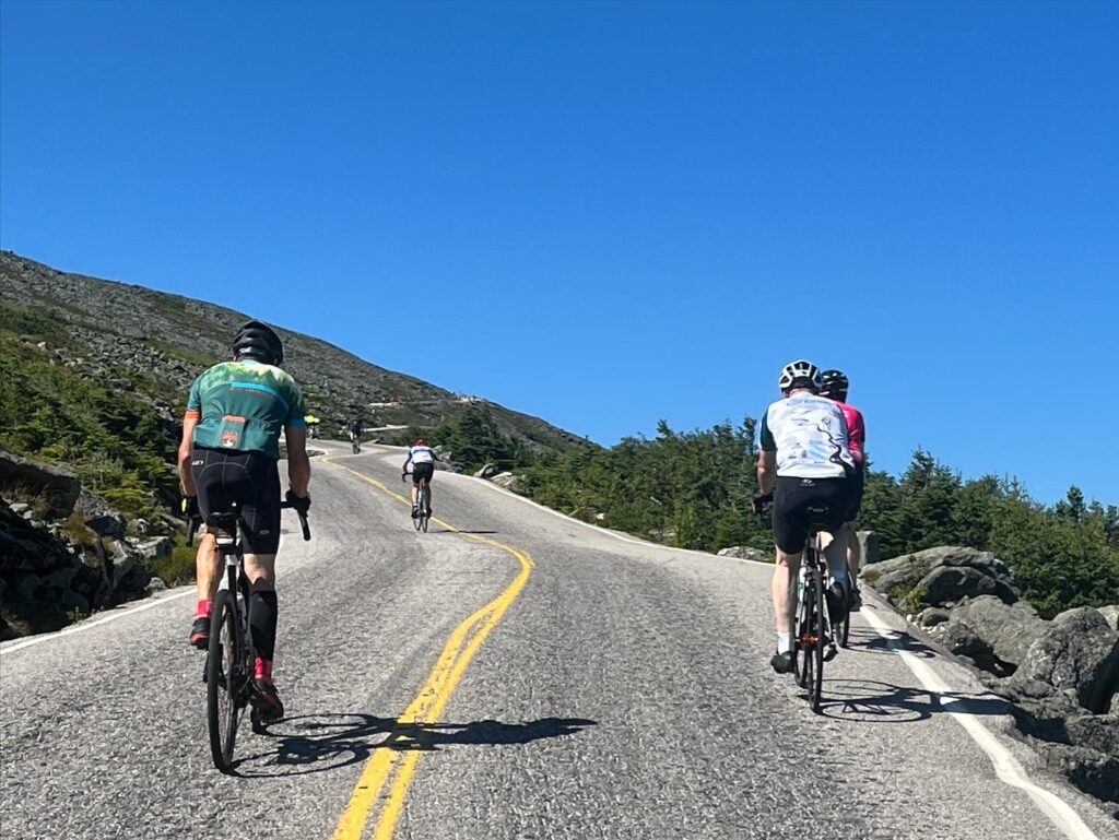
Climbing on the lower section of MWARBH – Steeper (much) than it looks.

Quickly, those who were going to go faster went ahead on the flat section by the toll house which lasts about 250 meters. I was ahead of a few. Having started last and passed some riders, once we started climbing there weren’t going to be many to come past me.

Warm up at the Glen House

I started catching some from our wave as I went farther up the road. One guy had pulled over and was throwing up. I thought about him around Mile Six because a medical “Gator” when by headed to the summit with a bike on the back, and presumably, a rider inside. If you can’t continue and you’ve climbed even a mile or two, they will probably take you up to meet your ride because they won’t let you ride down.

There were a number of riders paperboying on the climb which was unsafe and annoying. One rider swung wide then turned back towards me and almost t-boned me. That would not have been cool.

Even with sweaty hands, I was able to take a few pictures. Very few.

I took two bottles of electrolytes. One pack of energy chews. And one bottle of the Hot Shot (to prevent cramping). I went through them all by Mile 4. It was warm if not hot and by Mile 3 a cooler breeze was moving in through the tree line. I actually welcomed a headwind if it was cool.

My live segments on Strava showed I was on pace for 1:58. That’s 12 minutes off what I was doing 12 years ago so I guess I was losing a minute per year. I had hoped to break two hours and certainly beat last year’s time of 2:05. I maintained that pace for the entire climb and would come in about 1:58.

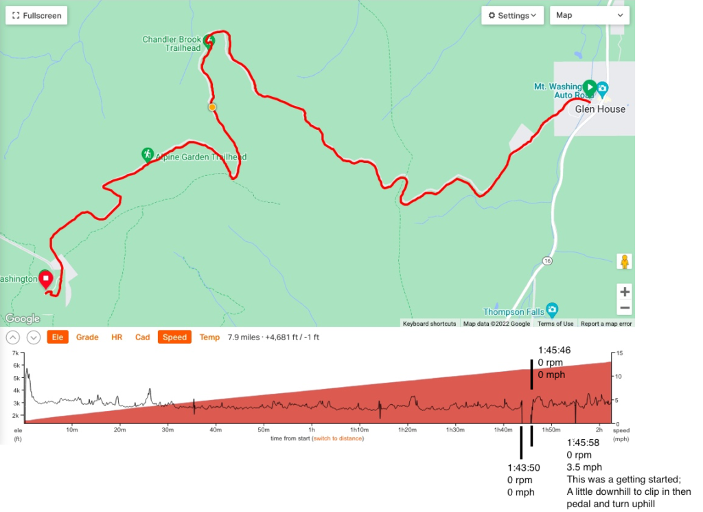
Around Mile 6.5, I shifted and was quickly pedaling nothing. The chain had dropped and without forward momentum, you go backward. Quickly. I started to fall over and was able to quickly grab the brakes. Somehow I was able to unclip and put a foot down preventing me from falling hard on the granite.

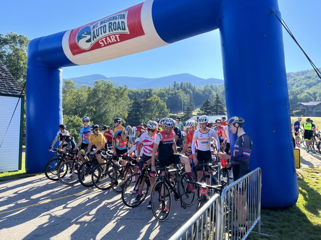
The pros and Top Notch riders lined up at the start at MWARBH

I took my bike and stepped off the road onto some rocks and sandy soil. This part is way above the tree line. The chain was off the rear derailleur between the cassette and the spokes. I tried manually putting it in place and turned the cranks by hand. It came off again. I lost two minutes getting it back in place. To get restarted on the 15% grade I walked my bike to the other side and then clipped in by rolling it across the road before turning up the mountain. I glanced at my Wahoo and saw my new ETA was around 2:01. Well, I wouldn’t beat two hours but still would be better than last year.

Two minutes and eight seconds lost to a dropped chain. Plus momentum.

That wasn’t the only mechanical I had today. Early in the ride, I noticed my right cleat was loose. I wondered what would happen if the whole shoe fell apart. Of course, that wouldn’t happen but the cleat could fall off and the ride would be over. It held together enough but clearly, I was losing some power because of it.

Mile 7 – Yes, I took this while climbing

Back on course my quadriceps really hurt. They weren’t yet to the point of a twinge where I knew that cramping was coming. But they were hurting. I needed to alter my pace towards the finish but was afraid to shift. I found my gear and was afraid to shift from it.

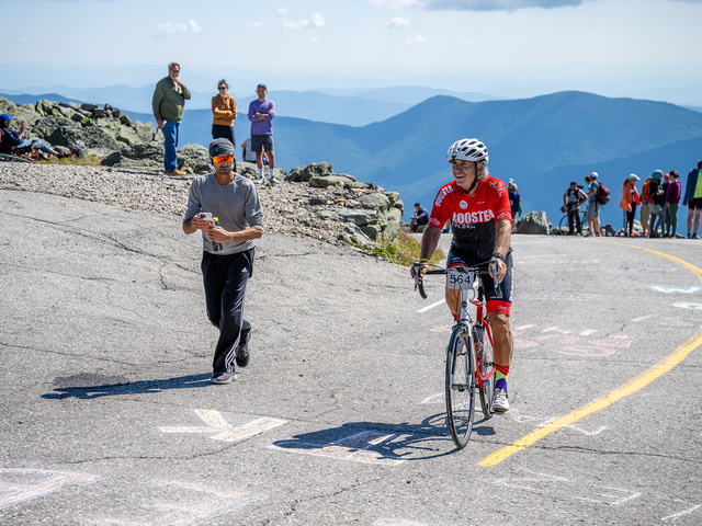
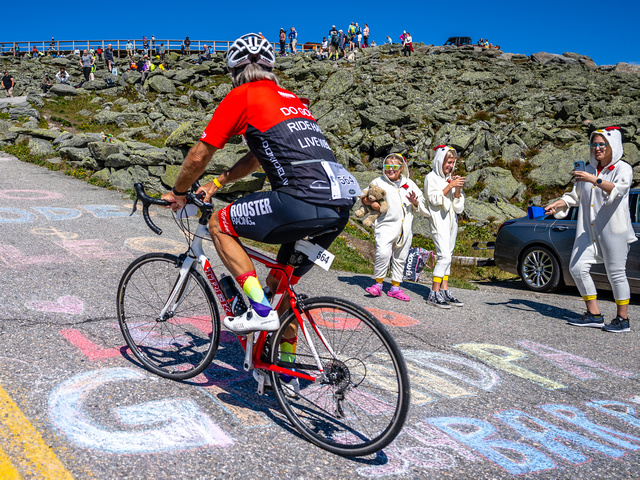
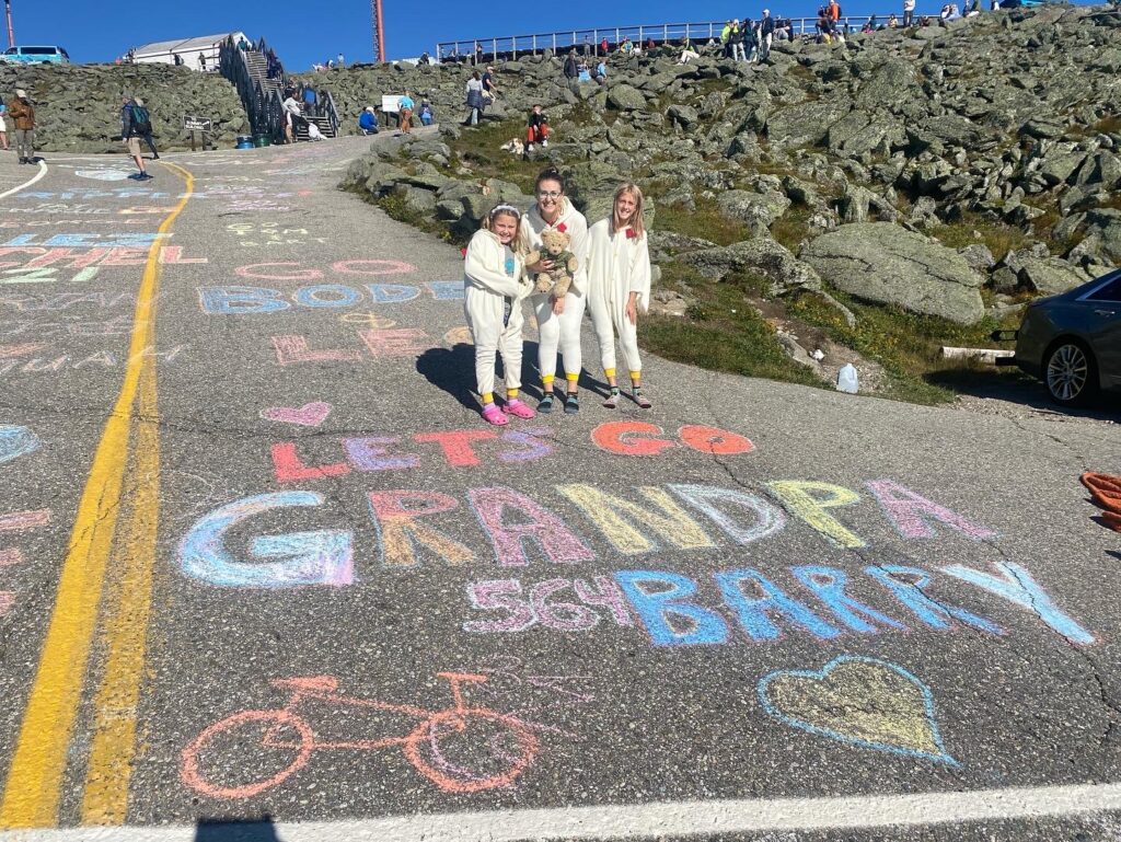
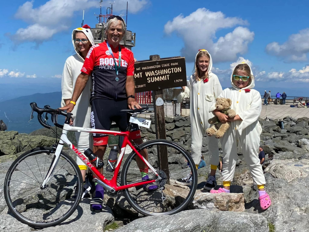
I came to the finishing straight and Bruce was on the left side. My first thought was he must have been here a while as he went off in the first group. He ran with me and pointed out the chickens (my family). I waved to them as I went by.

Chickens on the course

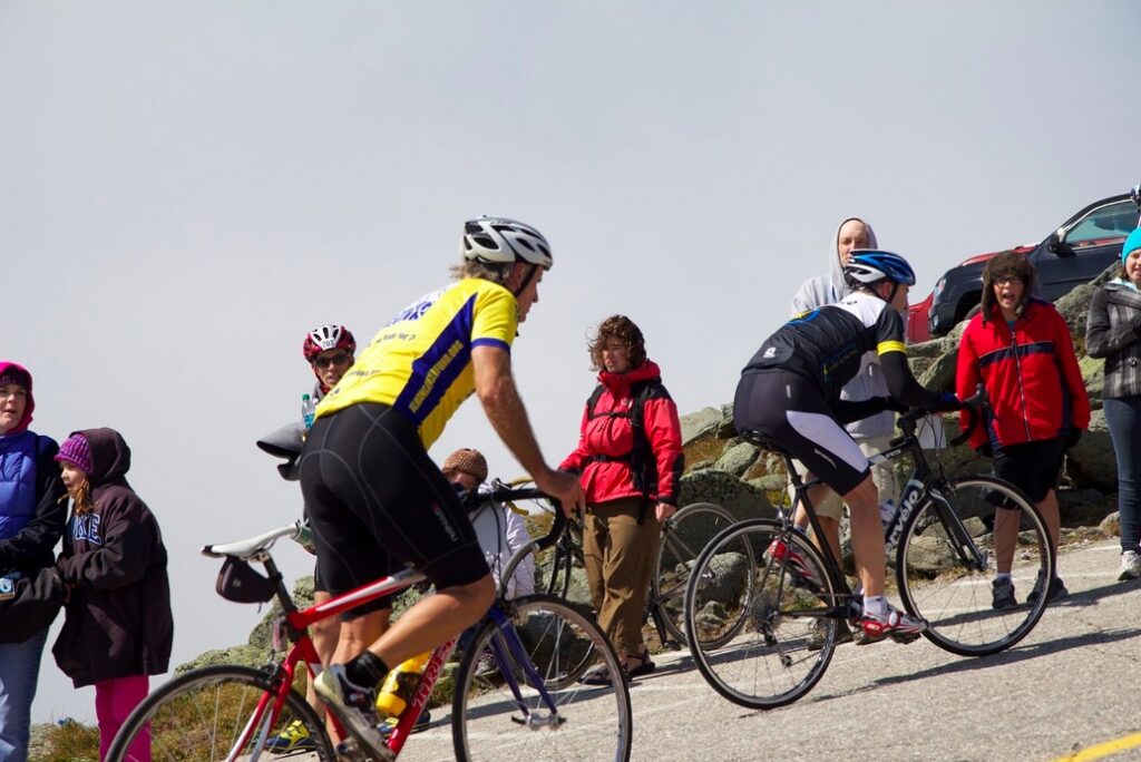
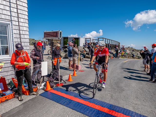
The finishing climb is a beast. Twenty-two percent. Unlike 2008 when I knew I’d fall over (but didn’t) I just said the pain is temporary. I heard my name called along with “Woodbridge, Virginia and Rooster Racing.” I was home. I made it.

Made it

Across the finish line, two volunteers asked if I needed help. I didn’t. A young girl handed me a medal. Before COVID they would put the medal over your head. Today it was an outstretched arm. Another volunteer gave me a blanket. At 62° it was too warm to need a blanket. I handed it to Bryan.

This was a big relief to me. There are different people running the event in the past as the rider guide, which used to be a church bulletin, said there would be medals for the top three age group finishers. I’m not much into participation medals except for this event. Everyone who finishes deserves a medal. I didn’t know if I would get a medal or blanket. I am so glad I got both.

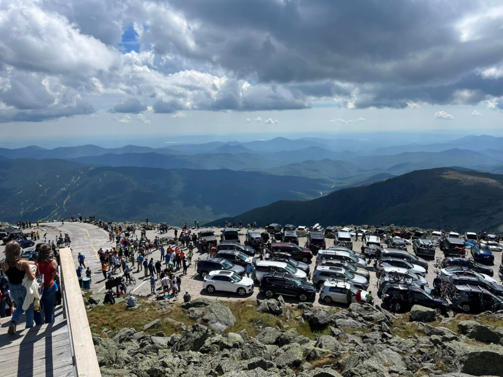
I spotted the Mount Washington Summit sign at the true summit. I wanted a family photo. There’s no real trail there – just big rocks. And I needed help on some of the rocks because my quads had no power left in them. The line for a summit photo was probably 45 minutes. And when we were finished with our photos they were just starting to open the auto road to go back down.

Bruce joined us for the ride down. As an aside he said he used to be a golf pro. And he and Bryan instantly connected. And started making plans for next year.

Three of the parking lots at the summit

At the base lot at the Auto Road, we parked and went to check out the activities. I changed out of the completely soaked kit in the porta-john then went to pick up my Hart’s Turkey Farm dinner. A staple of this event for years has been the community Hart’s Turkey Dinner. Held in the big tent, it featured a couple of slices of turkey, mashed potatoes, salad, rolls, and dessert. I bought extra meal tickets for my crew in the past as we all enjoyed it.

In 2020 the event was canceled. Last year it came back but without the turkey dinner. This year it was back in a limited form. I thought the dinner was to go but the tent was set up with lots of seating and people were eating in the tent. A group was playing on stage and the podiums were set up to award places to the fast people.

I picked up my lunch. It had a small turkey sandwich that did not have much turkey on it. The bun was a standard hamburger roll. There looked to be a side of salsa (I did not try it). There was an apple and a brownie. The drinks were from a refrigerator and were Pepsi products. I had a beer ticket that I gave to Bryan to sample.

I found Phil Gaimon and he introduced me to Jeremy Powers. Jeremy is “Mr. Whoop” and immediately fixed my Whoop band as I was wearing it wrong. Phil did a quick interview with me.

Phil and I met in 2009. His memory of that day and my memory of that day differ greatly although he is probably correct. I had gone to the mountain with the permission of Dr. Hrant Semerjian to delay my cancer treatment. Phil remembers me telling him that I didn’t think I would be back in 2010 because, you know, cancer.

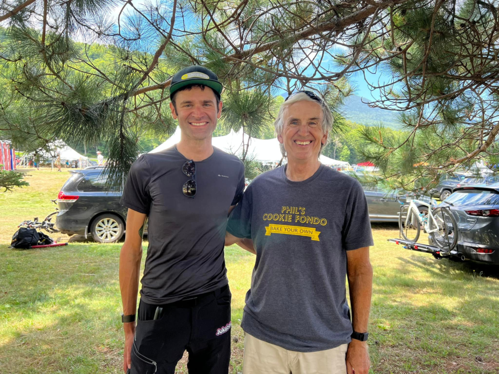
Phil and Barry

Did I say that? Maybe. Cancer makes you think about your immortality and it makes you feel like you’re dying. I was in a dark place when I was diagnosed and I don’t remember what I told people. But I may have said that.

I said goodbye to Phil and Jeremy and we headed out toward our destination of New London, Connecticut. My ninth MWARBH was now behind me.

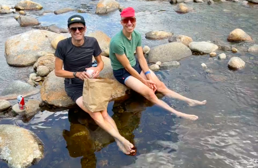
Phil and Jeremy chilling the legs in the Peabody River


There was a race and what a race. Phil Gaimon took a Strava KOM but not a course record because Strava did not exist in the doping era. He won by seven seconds over Erik Levinsohn. That may have been the closest finish ever.

Bruce McDonald and Barry looking for the chickens

Courtney Nelson won the women’s division.

My data show that I lost two minutes and eight seconds due to the dropped chain. Realistically, it was closer to four minutes. The 2:08 was downtime but I had to get going on a very steep incline. And I had lost the momentum I had.

After the race

I was elated that I made my ninth climb but disappointed I didn’t do better. When I finally looked at the results I see I still had better times than 80 riders. The dropped chain cost me as many as 13 places. The loose cleat probably cost that and more due to the loss of power.

Looks like I finished 303 out of 383 finishers. Since we started in waves and I was in the last (6th) wave, it never felt like I was ahead of 80 riders.

At the top, we met a unicyclist. From the 703 no less (Falls Church). I have been beaten by them before. But with no people running the race they did not put the unicyclist in the last wave but was in his age group. So I never saw him before or during the race. Only our timing shows that my time was better. Not bragging. It was just interesting to note.

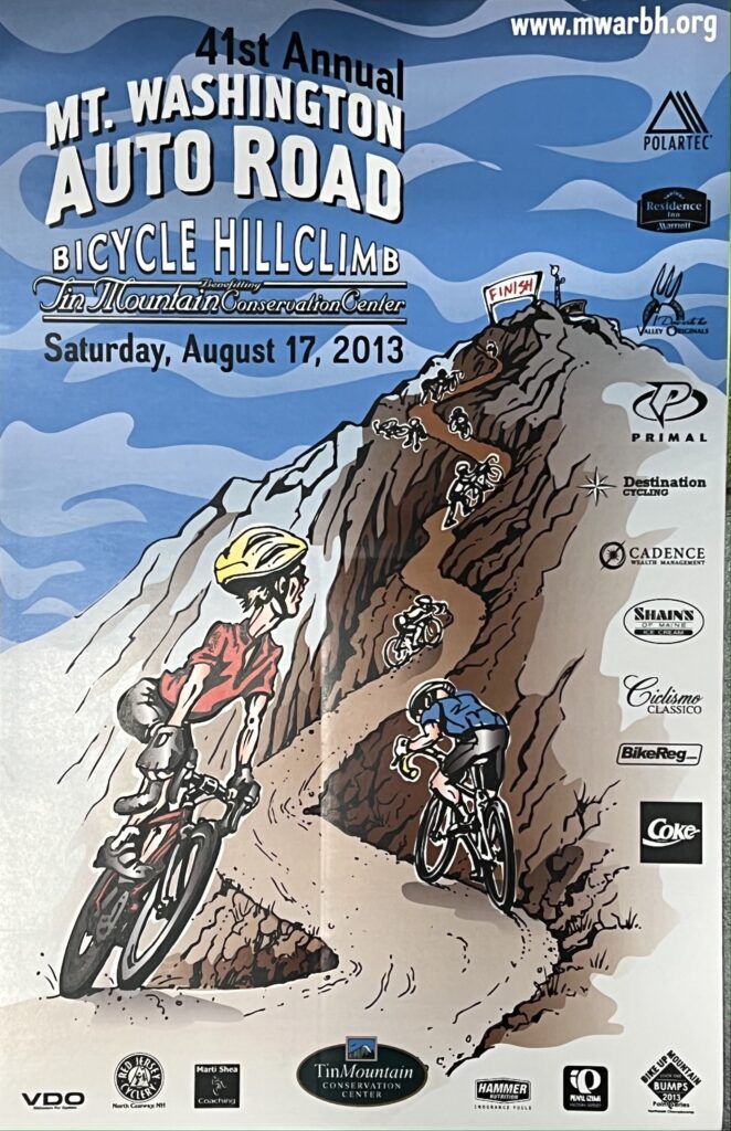
I was disappointed that there were no event posters for the riders this year. I have a poster from every rave I’ve done. Until this year. I was told they will have them next year.

Hi Chickens!!! MWARBH

The event photographer, Joe Viger, does a great job. They had some killer shots of me taken last year from the top of the last climb looking down the 22% ramp. This year they captured me with my chickens, so that was cool – but I am smiling instead of popping all my veins.

DISTANCE: 7.9 miles
WEIGHT: 173 pounds (est.)

Saint Michaels – Part 2

SAINT MICHAELS, MARYLAND

I liked the ride from Easton to Saint Marys to Tilghman Island so much that I wanted to go back and do it again. But I picked a bad day. The temperature was 91° (32.8℃) and the humidity seemed to match.

Bike path around Saint Michaels

I left the house an hour earlier than last time and would be riding an hour earlier. I also modified my route to not go all the way to Tilghman’s Island but instead take another road to a tiny town named Neavitt. It is located at the southern terminus of Maryland Route 579 on the north bank of the Choptank River.

Neavitt, Maryland

Unlike Tilghman’s Island, which has a gas station and a general store, there appeared to be no commercial businesses here. Just some private dock slips at the end of the road. In addition, the road to Neavitt had no shoulders to ride on in contrast to the road to Tilghman’s Island. But traffic was extremely light so that was not a problem.

Neavitt, Maryland

The winds seemed stronger today than they were the last time I was here. The route was nearly identical. However, I was able to take a nature trail or bike trail out around the business center of Saint Michaels. It was pretty but even slower than sitting in traffic. I think.

Saint Michaels

On the way back I stopped just outside of Saint Michaels at Highs Dairy. This time I not only filled my water bottles but grabbed a Snickers. I love my energy chews but the chocolate candy bar was a welcome relief.

End of the path in Saint Michaels – it just ends without connecting to the road.

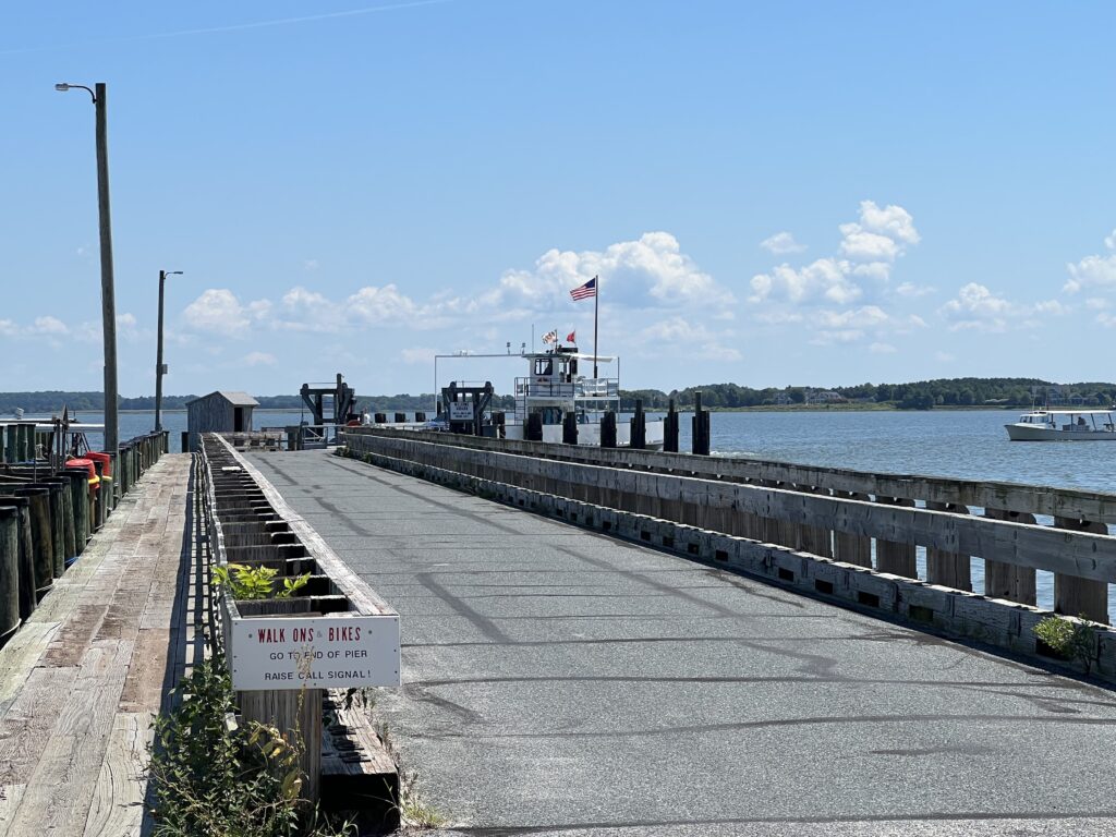
I turned onto the country road to the Oxford-Bellevue ferry. I now had a base time and hoped to better my time for a PR. But the winds were too strong or the heat and humidity were zapping me. Once I fell 15 seconds behind my pace I sat up and soft-pedaled to the ferry.

Oxford-Bellevue Ferry

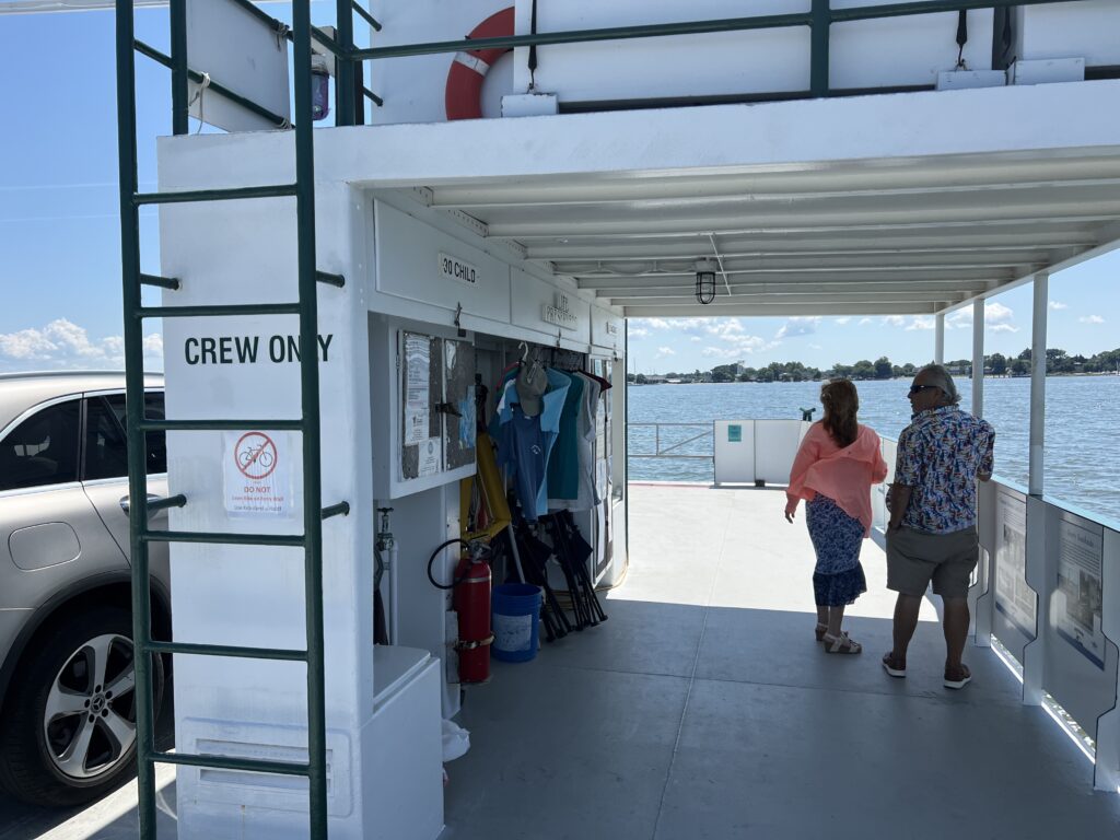
On the ferry were two cars. The nice couple in one car brought over an ice-cold bottle of water and offered it to me. I did not hesitate even though my water bottles were basically still full. I would need all the fluid I could get on this day and the cold water was refreshing.

Oxford-Bellevue Ferry

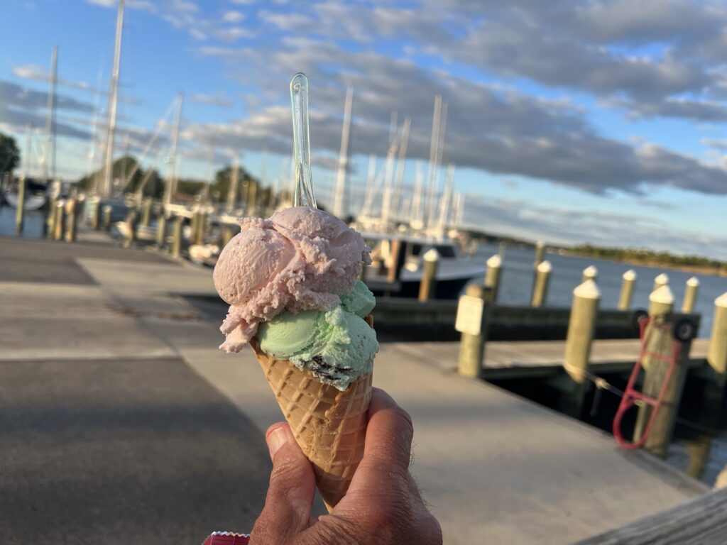
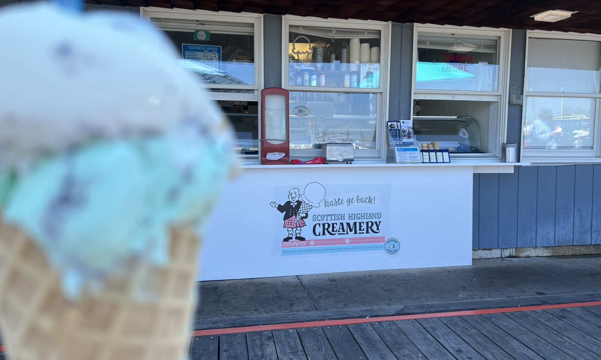
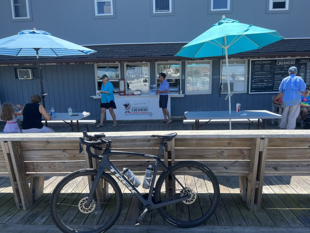
I chose this day because my next available day, tomorrow, was a Wendesday. And the Scottish Highlands Creamery was closed on Wednesday as I learned my lesson the hard way. So I chose to ride in this heat and humidity for – ice cream.

Couple who gave me water

It was bascially two blocks from where the ferry docked in Oxford to get ice cream. And suddenly all the riding in the heat and humidity were worth it.

Scottish Highlands Creamery

The last 10 miles seemed to be downhill so maybe I was picking up some tailwind. I did go through one mile on a one-lane milled road under construction. But the ice cream seemed to fuel me just enough for the run-in back to start.

Oxford-Bellevue Ferry

Today was a 50-mile ride instead of a 60-mile ride like last time. But it still left me pretty drained. But I love the ride and I really love the ferry. And ice cream. Must do this again.


DISTANCE: 50.7 miles
SPEED: 16.7 mph
WEIGHT: 172 pounds

Cumberland Valley

CHAMBERSBURG, PENNSYLVANIA

Ultimately, this ride will simply be another day on the bike, another loop ride. It was done on flat to rolling roads in the heat. But it was the approach to the ride that has left me wondering.

It was in 2008 that the Tour of Pennsylvania came through this area. Officially, the name of the race was The American Eagle Outfitters’ Tour of Pennsylvania presented by Highmark Healthy High 5.

My drive here was on U.S. Rte 30 from Breezewood to Chambersburg and was it ever pretty. And mountainous. Descending off Tuscarora Summit there are two runaway truck ramps and not just one. I was thinking of the bike race of 14 years ago and can’t locate a race map for that stage from Camp Hill to Bedford.

Parkwood Drive leaving the plaza in Chambersburg

The description for Stage 3 included Tuscarora Summit and Sideling Hill which are on U.S. Rte 30. What I can’t fathom is that the route stayed on Rte 30 through Breezewood. I can very carefully ride through Breezewood on my bike but for a race, you’re talking about shutting down the entire road. And not just any road. This is the intersection of Interstate-70. They would not shut down an Interstate Highway for a bike race. They must have turned off near the top of Sideling Hill and were able to divert around Breezewood.

But that is a beautiful road and very mountainous. The average speed of the winner, James Driscoll, was 39.62 kph, which was faster than David Velleux, the winner the following day into Latrobe (39.03). It’s hard to imagine that Stage 4 was slower than Stage 3 but it was.

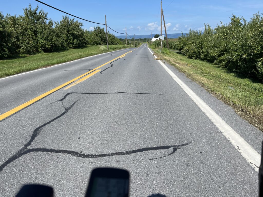
Surrounded by orchards

While driving across these roads and not imagining that I would or could ride a bike here, I have ridden the mountains from Bedford to Ligonier on multiple occasions which were featured on Stage 4. Maybe someday I’ll ride Tuscarora Summit

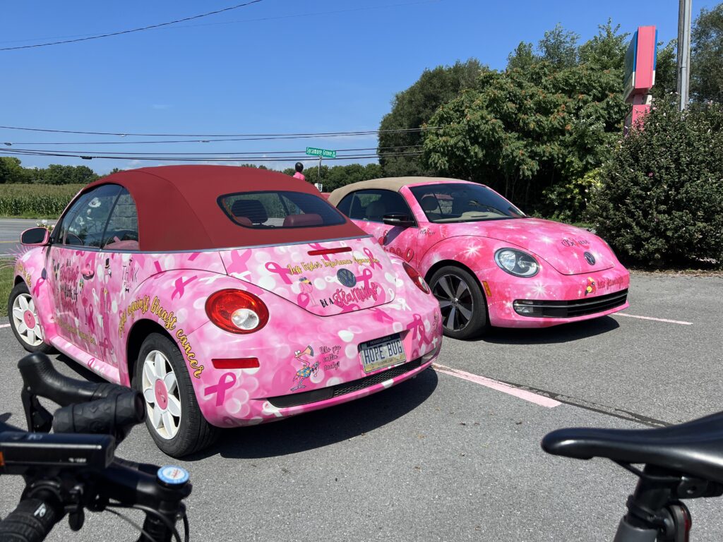
Hope Bug

But today I drove over these mountains to Chambersburg. I had found a route on RideWithGPS created by Franklin County Cyclists. It looks like it was a club ride and I would make one modification – two if I count the one I made at the finish.

Grand Point Road, Chambersburg

The ride started in a church parking lot. On a weekday, I’m unsure if I wanted to park in an empty lot without permission. But on a Sunday, I really didn’t want to park in their lot while they were having church. I modified the start to be a shopping plaza next to the Giant (grocery). The high wall on the side of the building provided a perfect shade spot that a tree could not.

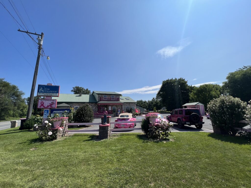
Jeff Fisher Insurance Agency

I started just one mile from the “official” start of the ride. The plaza was next to a Sheetz which was perfect for the pre-ride restroom. I did not make any modifications to the route so when I selected it on my Wahoo I simply had to select “Route to Start.”

Funk Road, Chambersburg

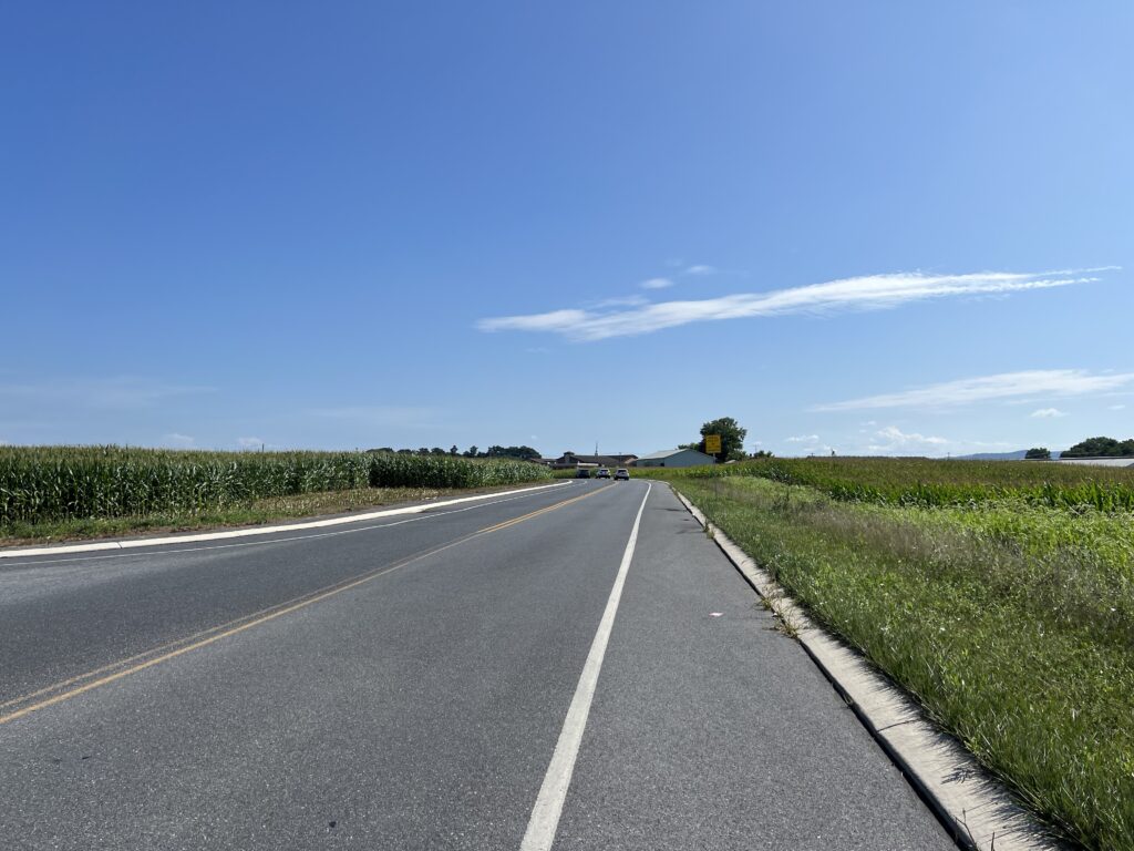
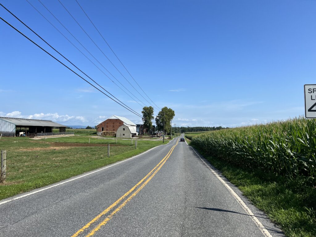
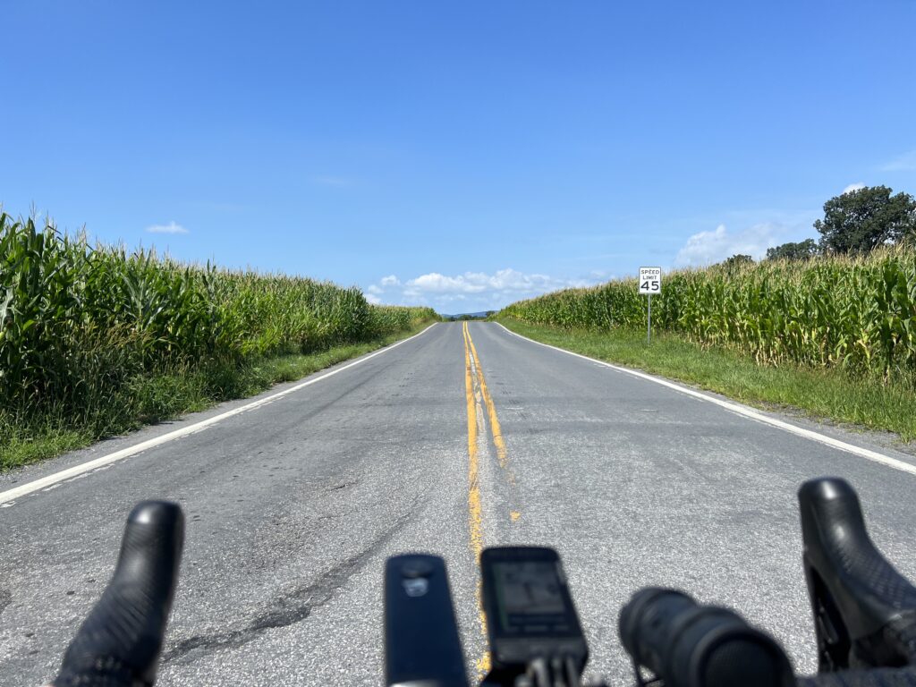
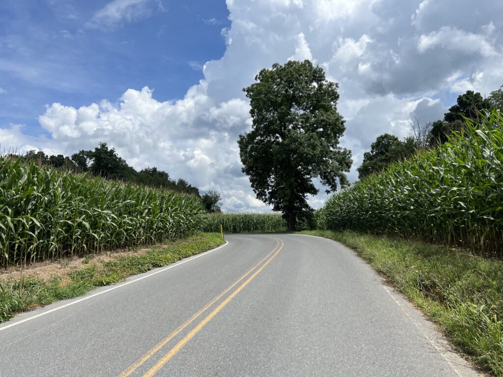
Country. This was a 100%, well, 99% country ride. I was immediately in the country with the smells of cattle and corn. The roads were all lightly traveled and the traffic was 100% respectful.

Funk Road, Chambersburg

There were no real climbs but plenty of ups and downs. But there was wind. A headwind would define most of the first half of the ride as it was a westerly wind.

Funk Road

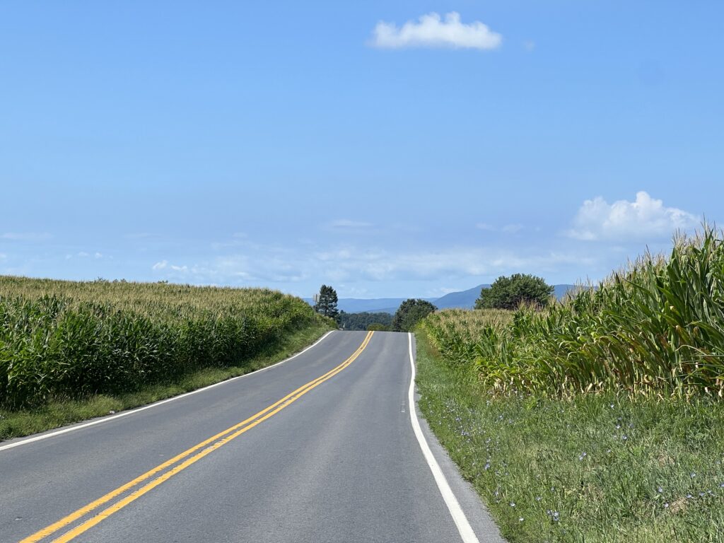
There were no defining features such as a great bridge or tunnel. No summits with miles of views out over the valley below. I was in the valley. But there were nice valley views looking at the ridge of the mountain I had just driven over.

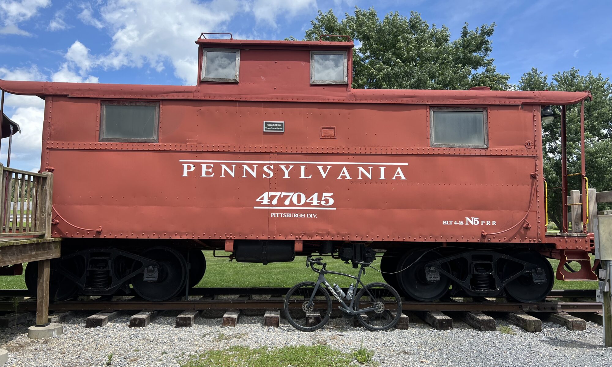
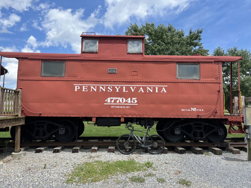
There was a nice park about four miles from the finish. Norlo Park in Guilford Twp. has three cabooses and what looks to be a minature railroad. I’m a sucker for things like this so I liked the placement of this park near the end.

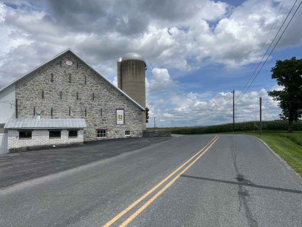
Barn on Horst Road, Guilford, Pa.

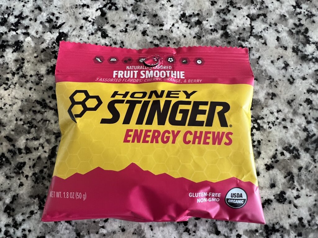
I would characterize this as a valley ride. After all, I was in the Cumberland Valley. It wasn’t flat although there were flat stretches. But the constant rollers would start to wear on me although that was probably more the heat (90℉) and lack of nutrition. I went through two bottles I had on my bike, one filled with Skratch mix, and the other with water. I had one pack of Stinger Energy Chews. And that was it.

Stump Lane, Guilford, Pa.

I thought around Mile 30 that I would stop at the next store and grab more water and a snack. But there was none. If I were to ride here again I would reverse the route. First, a reverse ride is a new ride. But more importantly, there was only the one store I saw on route. It was a Rutters gas/convenience store crossing US 30.

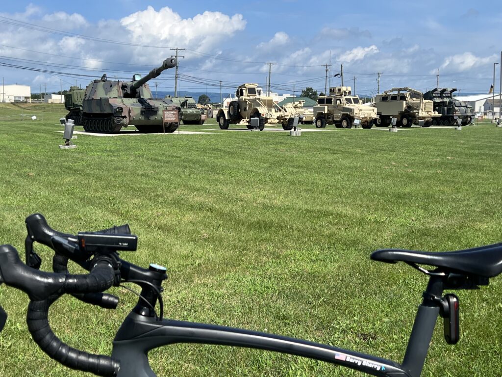
Letterkenny Army Depot, Chambersburg

On today’s ride that came around Mile 18. Barely one hour into the ride it was too soon to stop. Or at least I thought. Is it ever too soon for a snack? And that was the only place I saw to stop. On the reverse course, that would be at Mile 28 and would be perfect.

My only nutrition for my ride. I suck at this.

I wasn’t 100% of the modification I might need to get back to my car. I could follow the route and then go back the mile to where I parked. As it turned out, the route as designed would have taken me to the plaza where I parked before going the last mile to the church parking lot.

Norlo Park, Guilford Twp.

With four miles to go, it started to rain slightly which was very welcome. But it wouldn’t stay with me. But fearful I could get soaked, and that would not be welcomed, I ended the prearranged route and selected “Route to Start” on my Wahoo. Unbeknownst to me, it would have been the same exact route except when I reached the plaza where I was parked I was finished instead of going the final mile to the church. But I felt more comfortable knowing I was routed to my car even if it was the same way.

Nice country ride. Maybe in my travels through or near here I will ride it again. In reverse.


DISTANCE: 45.7 miles
SPEED: 14.7 mph
TEMPERATURE: 90℉
WEIGHT: 173

Saint Michaels

SAINT MICHAELS, MARYLAND

I’m not sure why I picked this. I think I was looking at cycling on Kent Island and my eyes looked at the map and saw St. Michaels. I’ve certainly heard of it but never been there.

Idlewild Park, Easton, Md.

I saw Tilghman’s Island and thought I’d do a ride from St. Michaels to Tilghman’s. But that wasn’t far enough. A quick search for cycling St. Michaels and I found the Bellevue Ferry. I haven’t had a bike ride with a ferry since White’s Ferry on the Potomac closed. Using RidewithGPS I had my route. It was a 60-mile route from departing from Idlewild Park in Easton.

On the way to St. Michaels

I was watching the weather for the week and planned to ride tomorrow (Thursday). But when I woke up this morning I looked at the next 36 hours and today presented a better chance of not getting caught in thunderstorms. I left home at 7:35 am.

What does this sign mean? It is next to the bike lane (a wide shoulder).
Bikes can use the road? Maryland, you are confusing.
Or maybe it’s a warning that the road narrows on the bridge ahead.

The park is small but with adequate parking and restrooms. For almost all of the 60 miles, I could ride a dedicated shoulder away from the traffic lane. There were just a couple of pinch points before St. Michaels. In the town, I needed to take the lane. It’s a very charming town.

St. Michaels, Maryland

The 11 miles to from St. Michaels to Tilghman Island were on a dedicated shoulder lane until I came to the bridge in town. My GPS was showing “distance to next cue” and I was counting down miles to my turnaround point. So when I hit the bridge I was shocked to see 4.4 miles to the next cue.

Tilghman’s Island

I thought about turning around then but didn’t want to cut my ride short. The road south of Tilghman was a two-lane road with no shoulders. But there was no traffic either. I soon realized the next cue was back at the bridge. It was 2.2 miles to the end or turnaround. Actually, it wasn’t the very end of the island but appeared to be fenced off at that point.

South of Tilghman’s Island

What appeared to be the end of the road opened into what was a parking lot for fishermen.

Sharps Island Light – Tilghman’s Island

I saw very little water on this ride which was disappointing only because in studying the map it looked like I would have water views for 60 miles. But while never very far away from the bay there was always woods or a cornfield. Lots of cornfields.

Tilghman’s Island, Md.

I turned it around and headed back towards the bridge in Tilghman’s Island before going back to St. Michaels. My decision was whether or not to stop for more water. I brought two bottles with me but still had most of one left. I passed a small country store and then saw a gas station store right by the bridge. I decided I was good until at least Saint Michaels.

Tilghman’s Island, Md.

It was a bit breezy if not windy. I thought I was fighting a headwind on my ride out but when I turned around I still had the wind hitting me. It was probably a cross-tail going out and a cross-head going back.

On the way from Easton to St. Michaels

Once I got back to St. Michaels I thought about stopping for that extra water. The town is very charming but I had to go through it before I found a quick place to stop. It was a car wash/gas station. I got a bottle of water which filled 1.5 bottles. I didn’t think of it at the time but should have grabbed a Snickers bar too.

St. Michaels, Md.

It was about two miles out of town before coming to the turn to the ferry. There was a sign and it was open.

It was about 4.5 miles on a two-lane road to the ferry.

Ferry Road

I had no expectations about the ferry other than it would cost $4. It actually cost $6.

Oxford-Bellevue Ferry

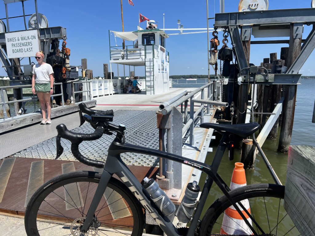
I arrived just as the ferry was ready to leave. There were two cars loaded and I rode my bike right up.

Ferry entrance

I rolled on taking notice of not to lean my bike against the bulkhead. What’s up with that?

Don’t lean your bike

There were two cars and two families on the boat. The ride probably took 12-15 minutes. Maybe less

I had read about this great creamery. For 50 miles I waited for that ice cream cone. I even told a couple on the ferry about it. When we docked I took off for the creamery forgetting to “resume” my GPS which I had paused to cross the river.

Scottish Highland Creamery

I studied the menu. Two scoops and you could mix them. I settled on Mint Chocolate Chip and then turned the doorknob to enter. It was locked.

Closed Wednesdays

Who closes an ice cream store on Wednesdays? This was so wrong.

Peachblossom Creek

No ice cream would make the nine-mile ride back to Easton a bit harder.


DISTANCE: 60 miles (50.5 via GPS; 0.5 not captured)
SPEED: 17.5 mph (fastest ride of the year)
WEIGHT: 174 pounds

Searching for Aurora Teagarden

MONTOUR FALLS, NEW YORK

The weather forecast for tomorrow for this region is for rain. I would have stayed in State College for the second day of the MS ride but this ride became a bucket list ride. I did not want to let a wet forecast ruin it. I moved my schedule ahead by a day and came here to ride.

Church in Montour Falls

I have never been on US 15 north of Williamsport, Pa. The drive was stunning. Heavily forested mountains. A beautiful lake near Tioga. It would be hard to find prettier scenery on my ride than I did on my drive.

Magnus Ridge Winery above Seneca Lake

I found a ride someone had done in RidewithGPS and downloaded that to my Wahoo head unit on my bike. I would follow his ride. I had a problem envisioning where to park and found an elementary school that I assumed would have plenty of parking. It did.

Montour Falls, NY

I chose Montour Falls because I had read that this was the town where the opening scenes of the Hallmark Channel’s mystery series, Aurora Teagarden, were shot. The actual shooting was in British Columbia but the opening scene or main street was here. It features a quaint downtown with a massive waterfall at the end of town.

Montour Falls, NY

I had visions of finding the town and the waterfall. I had no visions of finding Candace Cameron-Bure, the actress who plays Aurora Teagarden.

The falls at Montour Falls

I only went a couple of blocks and there I was. Standing in front of a rock formation on a hillside. This was no waterfall. In fact, there was no water. Actually, once I looked close I could see a trickle. But it was as though someone turned off the falls. This was very disappointing. The only thing that would have been more disappointing was if I had saved this for the end of my ride and for 48 miles I was looking forward to seeing it. At least this way I got the disappointment out of the way quickly.

A trickle falls at Montour Falls, NY

And now for the ride. Quaint downtown. I left Montour Falls via NY 14 which has a wide shoulder to ride safely. It’s about a three-mile flat ride to and through Watkins Glen. This is the tourist area of the region whereas Montour Falls has very little. At the end of the main drag, I came to the south end of Seneca Lake. The ride description was 20 miles of easy climbing followed by 20 miles downhill.

Dino in Watkins Glen. My brother, Brad, always liked Sinclair.

Actually, it was 1.5 miles of 3-4% grade leaving Watkins Glen to a plateau along the lake for five miles. Then it was turn to the west and gentle climbing for the next eight miles. The roads were mostly back roads with little to no traffic but there were “heavy” roads – tar and chip variety which makes pedaling harder.

Seneca Lake in Watkins Glen, NY

Once the road started downhill so did the headwinds. I knew it would be that way because I enjoyed a nice tailwind leaving Watkins Glen. I was paying for it now. The traffic was mostly respectful but on one road it seemed every vehicle was a truck pulling a wide trailer with a race car on it. On a Sunday morning. Near Watkins Glen. Who knew?

Going under Catharine Trail on NY-14. The trail is a crushed limestone rail trail.

The return back was on NY-14 again. And except for a couple of places getting squeezed, there was a should to ride safely. I changed my return to me directly to the car instead of the end of the route which would take me to the non-existent falls. I would have been so disappointed. But it was OK. It was a beautiful ride. Maybe next time there will be water in those falls.

Out in the country

The End of Glimcher

STATE COLLEGE, PENNSYLVANIA

The best rides aren’t so much where you’re at but who you’re with. And since 95% of my riding is solo I can classify the best solo rides are:

  • Point to point
  • Loop
  • Out and back
Start of the MS Ride in State College

I’ve been riding the Keystone MS-150 Ride, more recently called the Glimcher Ride, since 2016 when it was basically two point-to-point days. The first day was Hollidaysburg to State College while the second day was State College to Hollidaysburg. The roads from Spruce Creek in and out of State College were the same but two completely different routes in and out of Hollidaysburg to and from Spruce Creek.

Famous Cookie Stop – Rest Stop 1 and 5

But this year it was in State College and it was a loop route each day. It’s not fun and too far for this traveler. I was willing to travel to Altoona from Virginia but this was too much. I had signed up for the event before I realized it was no longer starting in Hollidaysburg.

The famous tractor just outside of State College

Lodging and the headquarters were at the Penn Stater. I registered after the special MS rate expired (rate good until …) and was priced out of staying in State College. I chose to stay with my mother in Somerset the night before which is 1:45 away.

Rest stop 1. Corn.

The alarm went off at 4:40 a.m. No snooze. I was gone by 4:50 and stopped at Sheetz for ice for my cooler and a breakfast sandwich. I arrived at the Penn Stater at 6:45 a.m. for the start of the ride.

Camp Kanesatake

I dressed in the car and got my bike ready to roll before I went to registration. At 6:55 a.m. I was putting on my “race” number. I went to the back of riders waiting at the start thankful they didn’t roll out at 7:00 a.m. At 7:08 we all rolled. I was on time.

Amish house near Arch Springs. Notice the horses.

There were five rest stops and this captured my ride to each. On the rollout, we came to a red light with cars waiting to enter the intersection. I stopped. Two riders from Blair Bicycle Club blew threw it. It was a bad look and unsafe. I yelled, “it’s a ride, not a race.“

Beaver Stadium. Passed this out and back on the ride.

Once I got the green light I quickly caught them and a number of others. I’m sure the front group was long gone but I picked my way through a number of riders before finding four riders wearing Quality of Life jerseys from Mechanicsburg, Pa. I didn’t join them but followed at 20-30 yards behind. 

Arch Springs

I wasn’t long at rest #1 which was the church with the famous cookie stop. Still cookies. I took one Snickerdoodle. I left rest #1 and found myself in cyclists’ “no man’s land.” I could see no one in front or no one behind me. I actually liked that. A lot.

John Deere.

I passed a John Deere tractor and regretted not stopping for a photo. After a descent and the turn to Camp Kanesatake, I turned around and went back up the hill. I got my photo and saw some riders pass. I didn’t try to join them but still passed 2-3 before the stop at Camp Kanestake. 

St. John Evangelical Church

This church camp had been the Saturday lunch from Hollidaysburg to State College coming at Mile 50. And the ice cream and Dairy Princess stop on Sunday. But today it was just a snack stop. I didn’t stay long. 

The guys in green

Again in no man’s land, I was gaining on a rider in Spruce Creek. And then a funny thing happened. At the end of Spruce Creek, he went straight which was the route we always took on Day 2 back to Hollidaysburg.  But I had downloaded the route from the MS-150 website and it had me turning left, under the railroad tracks then climbing the two-mile hill. I was alone. Again. 

I suspect they made a late change to the official route. This was one intersection that needed a volunteer to show people like me the correct way. But it’s OK. I enjoyed my solo ride. It added 2.5 miles to the ride.

Rest stop 3 was a lunch stop at St. John’s Evangelical Church. I overheard a couple of riders describing when and where they “burned matches.”  Oh please. They’re not pros doing a non-stop 3-week effort. But they can dream, I guess.

Lunch

Leaving rest #3 I caught the four green riders. I didn’t join them but simply followed at a distance and paced behind them. And then a group caught and passed us. This group could have been Team Fat Belly including a couple on touring bikes with bar end shifters. But they were moving as they passed out. We formed a large group for about one mile then came to a hill. And that was the end of Team Fat Belly. I was nose breathing but passed all on a climb. Three of the four from Team Green went ahead and I simply followed at 50 yards. 
Green guys

Rest 4 seemed to be for the 50 and 75 routes. Rest stops 2 and 3 were just on course for the 75-mile riders. I stopped, briefly. And it would be a solo ride home from there. 

Rest stop

I caught a rider before Rest 5 which was also the cookie stop for Rest 1. After a quick water bottle refill and then it was solo back to start. A moto caught me to tell me there was one hill left (which I knew). But he was a nice guy giving encouragement, I guess. I passed a young guy walking his bike up the last hill and passed 5-6 others as well.
Finish line at State College

I finished then took off my jersey to go under the empty finishing arch again, this time holding the bib that “I rode for my daughter.” I took off the bib and discovered I spelled “daughter” wrong. That’s what happens at 6:50 am. 

At the finish, there was no food or meal. They told us there were snacks next door which were veggies and Fritos. There was no banquet this year. It was so good in 2019 when Diane Kramer and two other women spoke. Back in 2019, I had asked at our table of ten what each person’s connection to MS was. No one had one other that this was a nice ride. That dinner brought home the message. Today there was nothing. On the ride, not a single person asked me about riding for my daughter. It didn’t seem to be an MS ride. It was just another ride.

Swag

So in the end, I asked for the swag. Although it was to be handed out tomorrow (t-shirt and plastic “medal,” I told the nice volunteer that I was only riding today. I did not tell her it would be my last day for this ride but it was. For me, it’s too far. Too expensive. Boring loop routes (been there done that). Registration seemed way down (124) and I’m guessing many Pittsburgh riders that came to Altoona found State College too far. 

I could have asked someone to take this

Next up will be an MS ride, just not this one. Maybe Florida. Maybe Virginia or Maryland. Or maybe even the Escape to the Lake. I support the fight against MS but I’m not leaving this event. It left me. 


DISTANCE: 78.8 miles
SPEED: 16.5 mph
WEIGHT: 175 lbs


While it was an MS Ride, something HUGE happened on the ride. I went over 90,000 miles ridden cancer-free. Since 2010. Thankful for every day of LIFE!
Verified by MonsterInsights