PAUMA VALLEY, CALIFORNIA
So much of this ride did not go to plan. I began yesterday afternoon at Jax Bicycles in Murrieta. They were very helpful while letting me pump up my deflated tires from the flight. I got a suggestion to bike from there to Palomar but didn’t really like the way it looked on the maps.
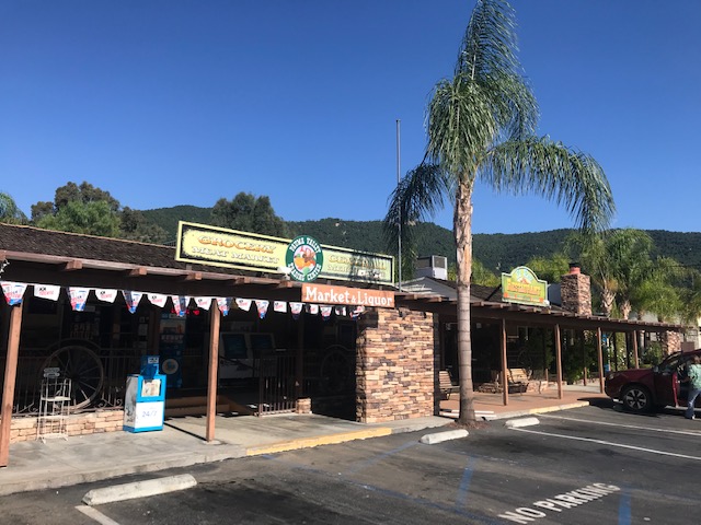
My plan was to go to Pala and ride nine miles to Rincon which would be the start of the 14 mile climb. I parked in Pala and only rode out two miles and did not like Hwy 76. Too narrow, too fast, no shoulders. I went back to the car and drove to Pauma Valley and parked at Pauma Valley Trading Center. I got permission to park and off I went.
I have a display on my Garmin which shows which gear ratio I’m in. Somehow while I slept, it reset to factory defaults and I was having a heck of a time figuring out how to change it. While I rode.
It really wouldn’t make much difference. Instead of displaying 39/53, I would know it was 34/50. And much of the ride I would know I was in my smallest gear. Still, I was only two miles up the climb when I pulled over and checked out a Garmin Forum for the answer (it’s under Di2 on Bike Profiles). As I was ready to roll, I looked behind me and saw a rider about 100 yards back.
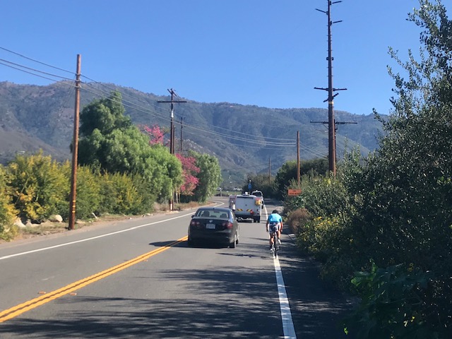
In about half a mile, a young lady passed me. No shame there. My goal today was just to get to the summit. No Strava segments. Even stop for photos if I saw something. About five minutes later two other riders, man and woman, both passed and she looked to be wearing the same kit as the first rider. I thought I might see a team or club but they would be the only three riders I would see all day.
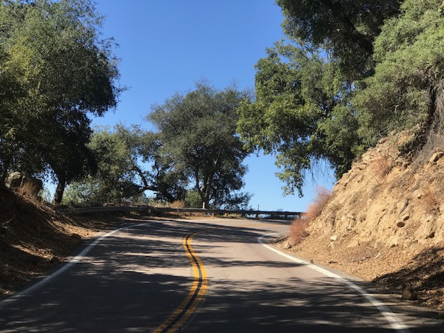
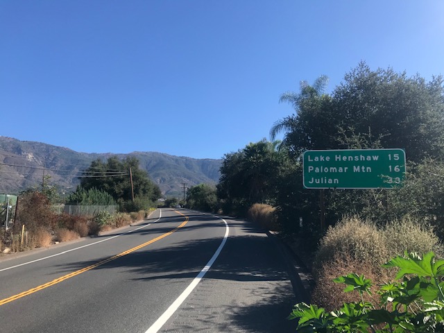
Hwy 76 is sketchy. Period. There is a shoulder most of the way on the climb though. About half way up the climb to Palomar turns off to S6. I stopped for a nature break. I am not ashamed.
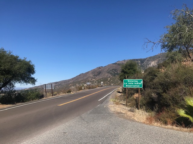
Once remounted, I just kept climbing. After the turn off almost all the traffic was gone. My big battle today was my eye. Maybe it was sunscreen but my right eye was burning. With one water bottle I had to decide not to drink some but to rinse my eye out. I rinsed.
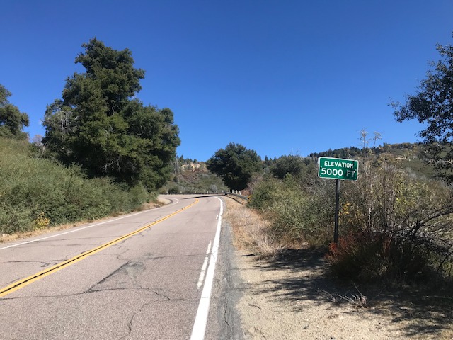
The climb is relentless. I’m guessing most of my 5400′ of gain was over the first 14 miles which works out to be 7.3% (it is rated as 6.8%). It was a pretty steady 7% climb.
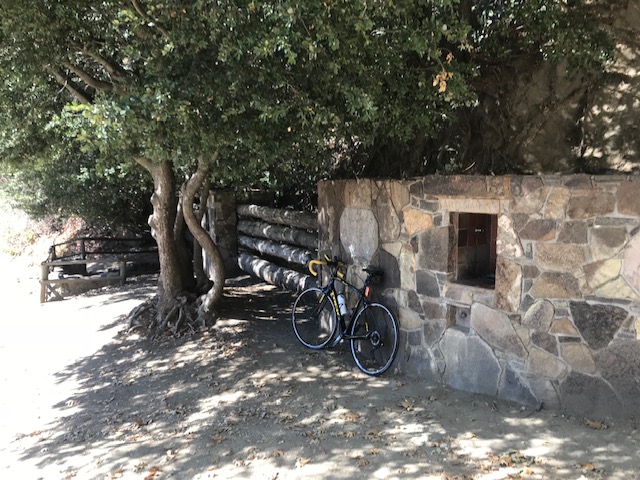
Out of water and near the top a car almost cut me off to pull into a turn off. The young woman got out and filled up her water bottle. I would have missed it. I stopped. It was a natural spring.
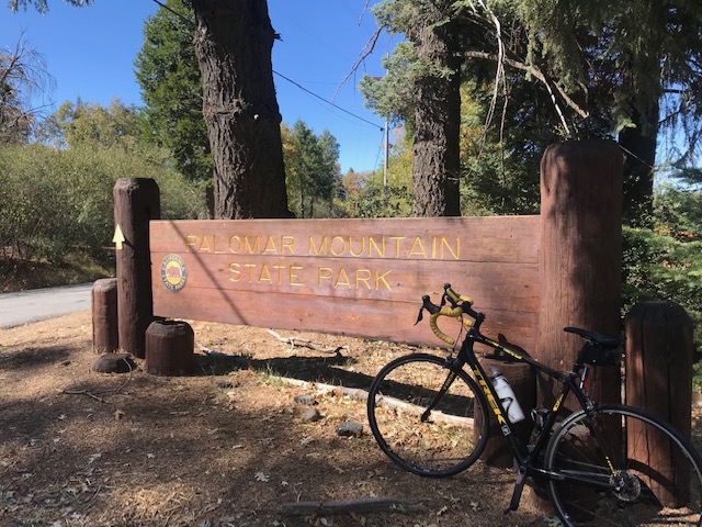
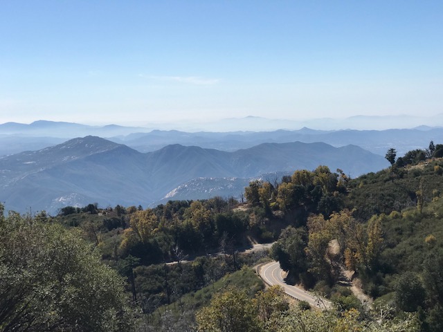
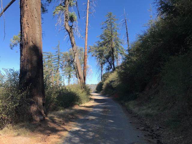
At the top, I climbed a little more to find the State Park. I was looking for a loop ride back to my car on Nate Harrison Grade. When I found it the road was narrow and got smaller. Pavement got bad then turned to dirt. I eventually abandoned that idea as I was not sure the “road” actually would connect back to the main road. And even if it did I wasn’t crazy about descending on a steep narrow secluded road with bad or no pavement. I turned around, climbed out of the state park then began my 14-mile descent back the way I came.
This was a bucket list ride. I should not have ridden just two days before the Hillclimb Worlds Championships in two days. But I only plan to be here once. And I made it.
https://rwgps-embeds.com/embeds?type=trip&id=29011219&title=Palomar%20Mountain&sampleGraph=true https://www.relive.cc/view/1925464215
ABOUT PALOMAR MOUNTAIN (from The Complete Guide to Climbing, John Summerson, 2007)
Total Elevation: 4,735′ (1,443 m)
Length: 13.2 miles (21.24 km)
Average Grade: 6.8% (14%)
Rating: 3.43 (hors categorie)
100 Toughest US Climbs: #13
Palomar Mountain is a very difficult climb, along with Mount Baldy the toughest in Southern California. From tiny Pauma Valley head up the hill on route 76. After six miles turn left on S6 (toward Palomar) and you soon begin to switchback up the hill on an increased grade. At the stop sign turn right on S7 then in 1/10 lies go left on Crestline Rd. In a half mile turn left up to Palomar Mountain County Park for a short, steep finish. This climb is longer and as steep as the standard route up the Galibier, a regular beyond category Tour de France climb.
Note: At the top I did not turn right on S7 to Palomar Mountain County Parl but instead turned left and continued up and eventually to Palomar State Park.
Recent Comments