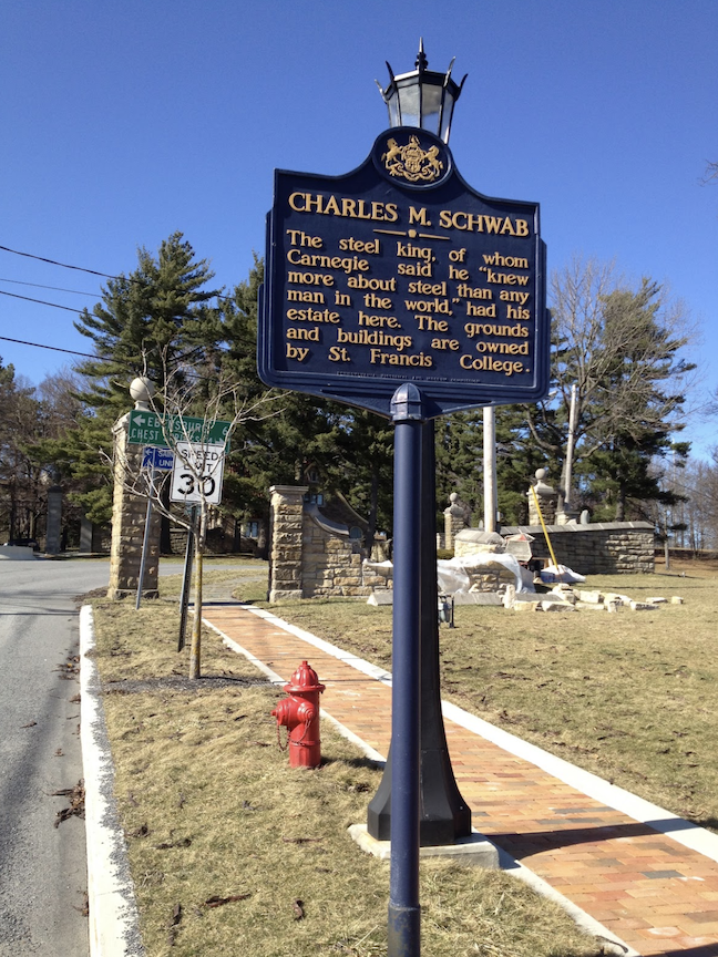
ALTOONA, PA
Even in “winter,” the climb up Glenwhite Road from Horseshoe Curve is beautiful. There are enough Mountain Laurels that the forest retains a healthy look of green. A white water stream follows much of the road. From the time I turned onto Kittanning Point Road, only two cars passed by on the next seven miles. I find it so peaceful riding here, and it was a great place to come the day before surgery.
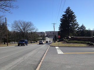
I created a 62-mile (100 km) ride on my computer, then downloaded it to my bike’s Garmin, my bike computer. When I parked at Logan Valley Mall in Altoona and went to retrieve the route, it was gone. I must have screwed it up. More importantly, that meant I didn’t know where I was headed except up the mountain, and I would improvise after that.
The temperature at the start, 42 degrees (5.5 ℃), showed that winter wasn’t going away without a fight. Later, it would reach into the 60s (15-16 ℃).
When I turned onto Kittanning Point Road to start the climb to Horseshoe Curve, I could hear a train above me, struggling to get up the mountain – the wheels creaking under the weight of the load. For a while, I was “racing” the train to get to Horseshoe Curve. I smiled when I saw it ahead of me on the curve.
Passing by the Visitors’ Center, I was surprised that Horseshoe Curve was closed for the season. The trains still go by. And so did this cyclist, although I did not see a single other cyclist today.
The climb up the mountain was harder than I remembered. I once rode up it sitting down and briefly thought that would be today’s goal. Then it was a matter of just getting up it without stopping.
At the top, I made it to Gallitzin but did not find the road to Cresson, which was what I had mapped out for this ride. I ended up at the entrance to the Allegheny Portage Railroad. From here, US Rte 22, the quickest way to Cresson, is a limited access divided four lane road off-limits to my bike. I had to slip around the barriers and cut through the park on an access road to Old Rte 22 – Admiral Peary Hwy. I was comfortable cutting through the park even with the barriers in place because a park employee once told me to do that – that’s it’s OK for cyclists to use the access road.

Admiral Robert Peary was an explorer who claimed to have led the first expedition to reach the geographic North Pole on April 6, 1909. He was from Cresson. Admiral Peary Highway, Old Rte. 22, from Cresson to Ebensburg, is a two-lane, shoulderless road with almost no flat sections. It’s either descending or climbing. It’s not my favorite road, as there is a fair amount of traffic, although there was no road rage on this day. But I was never comfortable riding on this stretch.
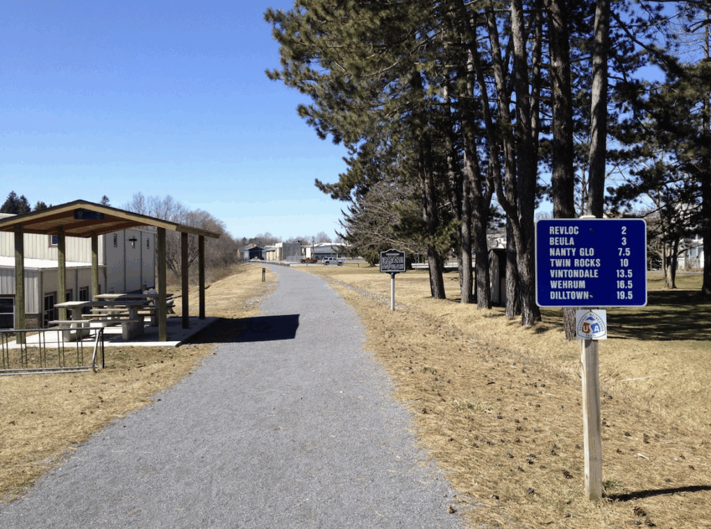
Once in Ebensburg, I saw a sign for a Bike Route and thought it was a less-traveled road parallel to the main street. Instead, it led me to the Ghost Town Trail — a nice rail trail, but not suitable for a long ride on a road bike with its crushed limestone base. I rode it for 200 yards then jumped back on the road.
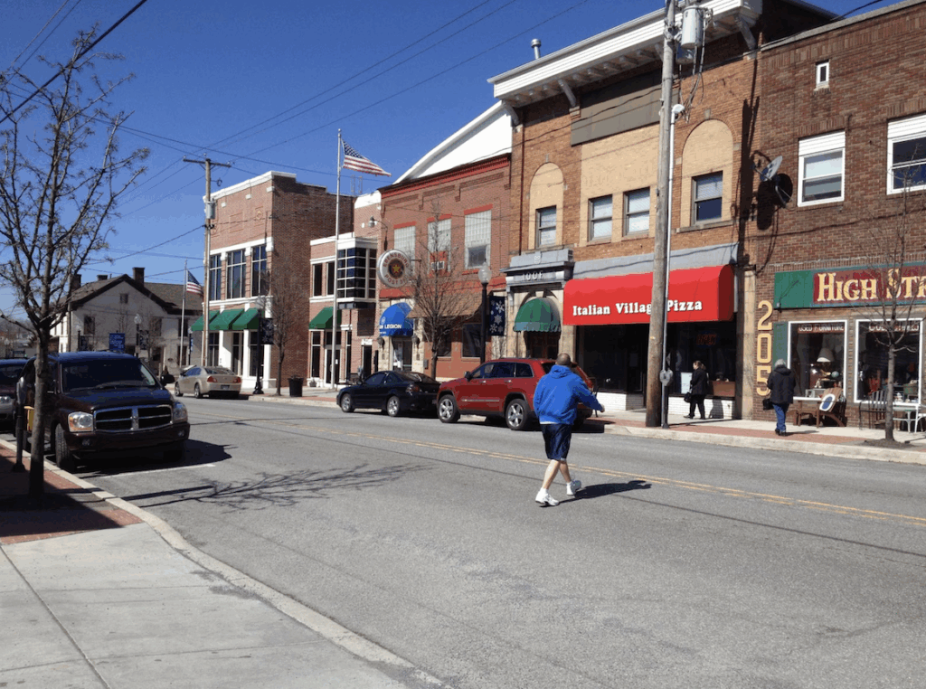
After Ebensburg, I was winging it. I saw Alley Buck Road and remembered seeing that on a map it but didn’t see that it was also Beulah Road going in the opposite direction towards Nanty Glo. After a mile of heading the wrong way and sensing it, I found a man in his yard and asked for directions. He told me to turn around and go back to where I came from. I didn’t know if that was helpful or a warning. A cousin from Ebensburg once warned me that the people around here are “rough.”
I crossed US 422 and headed north — until that didn’t feel right anymore. So I turned south. I didn’t realize that I had come to the town of Colver. I guess I was expecting more. There, I asked a father and son for directions to Loretto.
At first, they said go to Ebensburg and get on 22. I reminded them that I was on a bike. Then they suggested Peary Hwy. I then told them I needed to take back roads – the most direct route. So they sent me to Carrolltown.
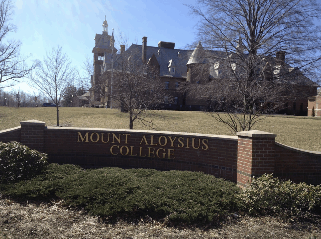
In Carrolltown, I was flying down a country road, which felt right. Still, as I passed a house and saw a man in his garage, I decided to stop. I told him how far I had traveled (50 miles) and that I was headed to Loretto, then Gallitzin. He told me that the road would take me to “Loretta (sp).” Yikes, I wondered if we were talking about the same place.
Outside of Loretto/Loretta I stopped a car at a stop sign to make sure I was on the right road. I was.
In Loretto, I talked to a couple about the next leg. Gallitzin. And they say that men don’t ask for directions.
On the road to Gallitzin, I saw a mileage sign for “Gallitzin 3.” Then I came to a T and saw a sign “Ashville (left), Cresson (right).” There was no mention as to the direction of Gallitzin. Love the Pennsylvania road signs. By feel, I was getting ready to turn right when a car pulled up. I asked for directions. And right was correct.
That would begin the last three-mile climb of the day, perhaps the hardest, if for no other reason, I already had 65 miles in my legs. The last mile in Gallitzin was tough. Narrow, steep streets, still with the gravel of winter on them. I didn’t think I would make the last two blocks. Knee hurting, I pushed through.
It’s hard to judge effort, and the torn meniscus added pain or robbed me of power, but the only other time I felt I would not make a climb was my first time up Mount Washington. I looked for a place to unclip and put a foot down, but each pedal stroke got me closer to the top. And then it was a matter of a seven-mile descent.
Garmin said my average cadence was 77 rpm. That seems high given all the climbing, although I didn’t get in a tuck and not pedal nearly as much as one may think. But that’s more than 25,000 turns of the pedals. And every one hurt.
Surgery tomorrow. Peace on the bike today.
DISTANCE: 72.4 miles
ELEVATION GAIN: 5,831′
Recent Comments