Last Day in the Mountains
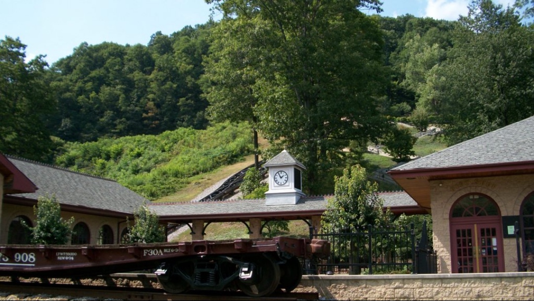
My early season riding began with a climb to the top of Blue Knob Ski Resort and included back-to-back weekends in August climbing Horseshoe Curve’s 18% “wall.” It is simply one of my favorite places to ride. But my cancer diagnosis made these mountains even more special. It was here where I could get away from cancer and find peace on my bike.
 
With Fall approaching and my season hitting the “wall” quicker than when climbing it, I took the opportunity to go to East Freedom, Pa. for one last ride in the mountains as I fully fight this cancer battle.

Statue of Liberty at Blue Knob

My ride took me up Pa. Rte 164 to the crossroads at Blue Knob. This was a seven-mile climb with long sections of 8% grade. It is a two-lane road with no shoulder but not heavily traveled either. And every single car gave me a wide berth when passing.
 
At the summit, I found a taste of New York. Their very own Statue of Liberty. Who knew?

14% Grade

I spotted a sign — “14% grade (next) 7 miles.” It was heaven! Nowhere can I find an equivalent grade to Mount Washington — 7.6 miles at 12% average. But this held promise. At last, a training ground for Mount Washington.

I braced for my descent because 14% can be quite dangerous on a bike. But it wasn’t to be. By my calculation, there may have been a section that was 10% but it didn’t last long. And it soon flattened out. Who makes these road signs anyhow? It was just a tease.

Also by my calculation, and my gut feel on the bike, from Blue Knob to Puzzletown was 4.5 miles at a 5% grade.

Allegheny Portage Railroad

From Puzzletown (can anyone figure out what they do there?) I traveled Valley Forge Road and found a sign for a 12% downgrade was close to an actual 12% which led to a 12% climb. Or more. But only for a mile down and a mile back up.

On Valley Forge Road

Reaching Old U.S. 22 I had a 5½ mile climb to the summit. For much of the climb, there were two lanes upward, divided, which meant that cars could easily move to the left lane to avoid getting too close to me. I rode on the right side of the white line but for a long stretch, there was very little shoulder. Yet more often than not cars gave me no berth and two idiots honked their horns at me like there was somewhere I could go. Into the woods, perhaps.
 
For about 30 minutes my mind was playing games trying to analyze why most drivers on a two-lane road would give me wide berth and cross into the oncoming lane and these drivers wouldn’t move over to the empty lane that was going in the same direction. Old US 22 would be used mostly by locals — locals who may believe it was faster and should remain faster than getting on the new US 22. Locals who believe the road belongs just to them. I just don’t know. Maybe people are jerks. A revelation.

Allegheny Portage Railroad

I never visited the Allegheny Portage Railroad Historic Site and always wanted to. And today I could. I am always intrigued by old-time engineering marvels and this was one of them.

Allegheny Portage Railroad – Lemon House

Operating from 1834 to 1854 it was built to carry barges from Johnstown to Hollidaysburg which connected river traffic between the Ohio and Susquehanna Rivers. It consisted of 10 inclined planes (think of the Inclined Plane in Johnstown or the Duquesne or Monongahela inclines in Pittsburgh).

Allegheny Portage Railroad – Incline Number 6

At the summit I was looking for a road over to Gallitzin but never found one. I saw a truck with U.S. Government Plates and stopped it and asked for directions to Tunnelhill. When I balked at the park ranger’s first suggestion, riding on U.S. 22, she told me to cut through the Allegheny Portage Railroad Park. Even though it was gated, she assured me that I could and I was surprised at the site and delighted in that it did take me to Tunnelhill Street.

I was glad I did. I would have never seen the Lemon house, other than from the road, or the tracks of Incline Number 6.

In Gallitzin, I met a local who encouraged me to go to the Gallitzin tunnels. He didn’t tell me the road to them was straight down. But it was. One can stand on a bridge and see the trains coming through the mountain. I wonder what’s it’s like to live above the tunnel?

Imagine living above a train tunnel

The climb back up to Tunnelhill Street was a neat 14-16% grade. But at 27 miles, that would be the last real climbing of the day.
 
From Gallitzin, it was a straight shot down Horseshoe Curve Road (Glenwhite Road) past the famous landmark and three reservoirs.

Horseshoe Curve

I’m not complaining because every ride up Horseshoe Curve is a good ride but who the heck thought of a process called chip and tar? The descent down to Horseshoe Curve can be screaming, especially when coming down off The Wall but the upper portion of this road had recently been chipped. Or tarred. Maybe just chipped. Without tar.

A 4-mile climb to the summit, sections of 18% grade and a 200′ tunnel. Life doesn’t get any better than this.

There were no line markings. Descending was tricky because with the loose gravel, er, I mean “chips,” one could easily slide out. Once I got to the good pavement I could let it roll.

Because of mine drainage, there are channels to keep the acid water out of the reservoirs

The rest of the ride was simple exploring as was all but the Gallitzin to Horseshoe Curve portion. I wrote down some simple directions and followed those but was unsure when I was in Hollidaysburg where I should travel to next. There was a service station with a store and I needed to replenish my water.
 
I walked into the convenience store and it reeked of cigarette smoke. All I could see was shelves of cigarettes and chewing tobacco. I turned to the sales clerk and asked “do you sell anything healthy in here?” I’m a jerk.
 
When she asked what I meant I simply asked for water. Outside was a visibly pregnant mother smoking, waiting with the dog while her husband bought more cigarettes. I wanted to scream at her “GIVE YOUR CHILD A CHANCE!” But would good would have it done? I am reminded that this is still Appalachia and a cyclist with shaved legs wearing Lycra is the stranger here.

Actually a very steep portion of Glenwhite Road

I will miss riding in Altoona. Each of my trips involved meeting special people. On the first, I met John Griffin who lives in a house where I lived 50 years ago. He invited me in. On the second and third I met and rode with riders from Spokes and SkisJoel, Richard, Bryan, and Stacey. Also there was Stephanie from Panera. And today I had a park employee let me cut through the park, a local send me to the tunnels, and two others point me in the right direction when I was unsure. Really unsure.
 
I’m afraid this is the end for a while. I have hit the wall.


Over a Mountain and Back in Time

EAST FREEDOM, PENNSYLVANIA

I parked in East Freedom, Blair Co., at the elementary school. It started out sunny and seemingly warmer than it was. I wore a jersey and arm warmers. I soon realized it was cooler than I thought with temperatures never climbing more than the mid-50s. I slipped on a jacket that was in my back pocket.

My route took me down the valley and around the base of Blue Knob. Blue Knob is both a State Park and ski resort. At 3,127 feet (953.1 meters) it is the second-highest peak in Pennsylvania, second only to Mount Davis in Somerset Co. (3,212 feet).

After 22.5 miles the climb began at Pavia. The Blair Bicycle Club listed the climb as almost five miles at 7%. They listed a 25% section which I did not find. But the distance was right and it was a nice climb. I think two cars passed me on the way up so “lightly traveled” might even be an understatement.

Blue Knob Ski Resort

It was a ghost town at the top if one building, a ski lodge, constitutes a town. If I needed a place to get more water or food and had counted on this, I would have been out of luck. Actually, I was counting on this but on this cool day, the two bottles on my bike were enough.

The descent from Blue Knob was a little scary. The first mile of the descent was steep and in horrible shape. There were many potholes and lots of loose gravel. The steepness necessitated riding the brakes but the gravel made it dangerous to use them.

The wind was blowing and it was cold — in the mid-40s, and I was still soaked with sweat from the climb. But after the first mile, the pavement improved. And once I reached Ski Gap Road it was a long straight 2-3% descent back down to Claysburg.

At Claysburg I had to return to East Freedom. But the road I was on, Bedford Street, was lightly traveled and in great shape. This would be a great place to live to ride. One can stay on the flat roads of the valley or head to the mountains.

And then the most surreal part of the ride. In East Freedom, I saw a man mowing his lawn. I first went by him then something said to turn around. I did and I caught his attention. I introduced myself and then told him “I used to live in this house.”

John Griffin immediately said “well you have to come in and see the house.” He proceeded to take me room by room while I was wondering “was this the house I lived in when I was three or was it the house next door?” But eventually, I figured out that it was the right house and gave him a little history to go along with what he gave me, namely, the house was built in 1910.

Afterward, it was a quick trip to Panera in Altoona for some refueling and lunch with a special cousin. This was an incredible day. It was a trip over a mountain and back in time.

Recent Comments

Meta

Verified by MonsterInsights