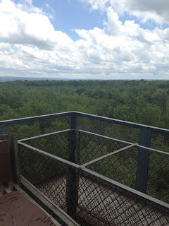
Ligonier. Almost.
I rode from Friedens to Bedford then back to Ligonier shepherding a cancer ride
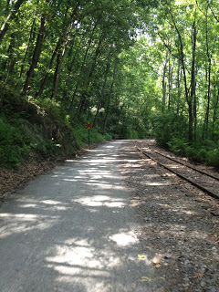
Imgrund Mountain Road
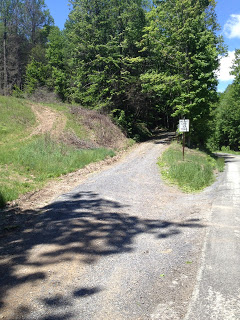
I went looking for Imgrund Mountain Road as a cycling route. Don’t.
Five Weeks Later I Finished
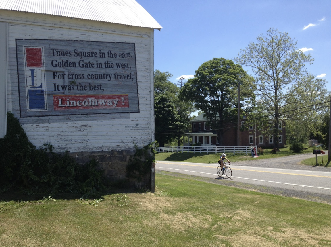
Severe weather forced me to cut short the Civil War Century six weeks ago so I came back today to finish it.
My First Bike Ride With Dad
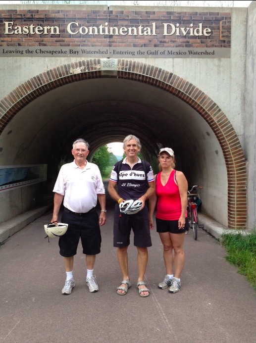
It wasn’t until my dad was 82 years old before I had my first bike ride with him
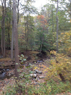
Peace on a Bike – II
My mapping skills did not translate to a route to my bike computer and I ended up navigating by feel and asking for directions, a lot.

Safe, Unsafe, or Stupid
The winds were gusting too much for a safe ride but the author gave it a try in Trexlertown, Pa.
Cramptown Races
What should have been a great ride turned into a nasty crampfest.
Recent Comments