A Mountain and a Rail Trail
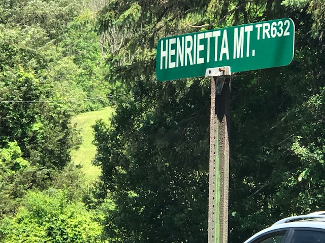
HOPEWELL, PENNSYLVANIA Probably eight years ago I asked some riders from Altoona what the hardest climb in the area was. I was thinking Blue Knob or Horseshoe Curve. One rider told me to find Henrietta Mountain Road. And today I did. This was was tough. Although it wasn’t too long, just two miles. It’s always […]

Recent Comments