A Rough Rappahannock Ride
The Rappahannock Rough Ride on a cool day. It’s hard to find roads more lumpy (up and down) than this ride.
Air Force Crystal Ride
I started in a group but had to bail to pick up my Garmin GPS which came off when the mount broke. So I rode solo.
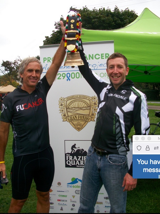
Escaping Father Time
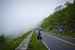
FRONT ROYAL, VIRGINIA SkyMass is always a good test of fitness. And sometimes a giant slap in the face. Starting at the water’s edge in Front Royal, one begins with a 7.2-mile climb on Skyline Drive. That is followed by a two-mile descent and then another eight-mile climb. A two-mile descent follows then another three-mile […]
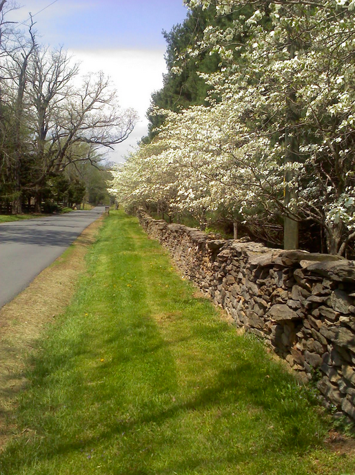
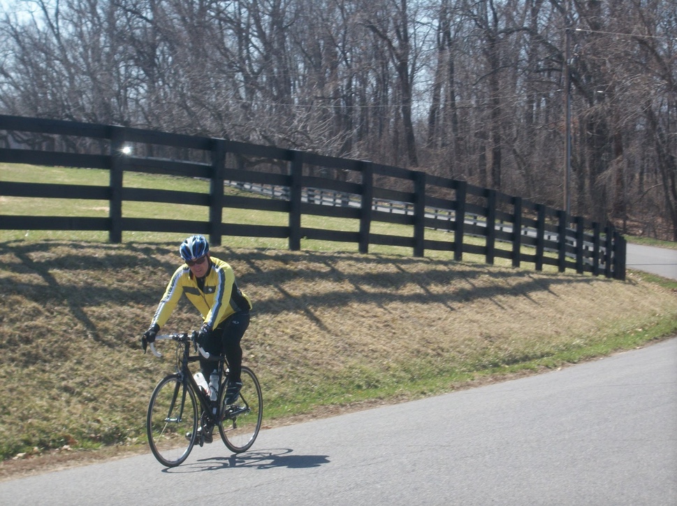
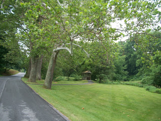
Rappahannock Rough Ride
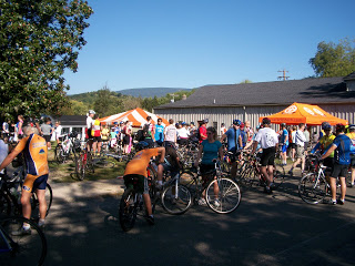
The Rappahannock Rough Ride took place on back country roads out of Washington, Va.
Recent Comments