I Love France (and You Too Switzerland)
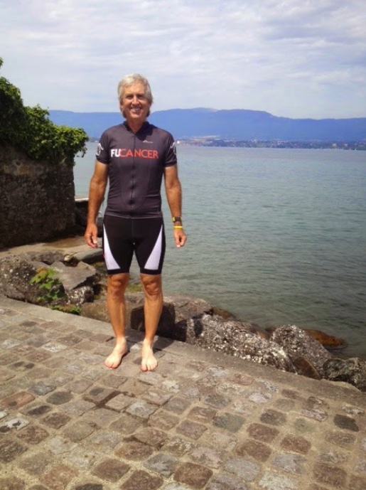
I went to Geneva, Switzerland to ride but ended up in France – and was happy about it
I went to Geneva, Switzerland to ride but ended up in France – and was happy about it

It wasn’t quite a rest day but a short day for sure. We rode to the Torri di Fraele. It didn’t seem like much but was still more than 100′ per mile (and double that since it was out and back).
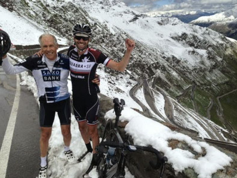
I climbed Stelvio Pass without realizing what a beast – and reward – it is

Our third day in Italy it was cold and miserable with freezing rain as we rode the Sella Ronda
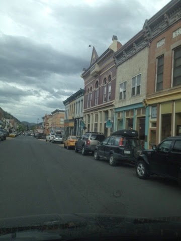
CAÑON CITY, COLORADO DAY 9 (UNOFFICIAL) – RIDE THE ROCKIES Last year the Day 6 route on Ride the Rockies was to be Salida to Cañon City across Royal Gorge. However, there was a major fire burning and we were rerouted. I extended my stay this year for a day to ride the missing […]
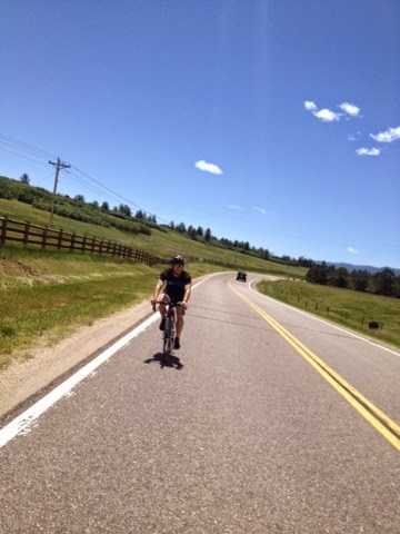
CASTLE ROCK, COLORADO DAY 8 (UNOFFICIAL) – RIDE THE ROCKIES Bradley Allen and I were talking last night about the Texas 4000. When Brad asked if they came through the area I looked and discovered the Rockies route was in Colorado Springs and traveling to Denver. I sent a quick text to Vanessa Beltran on […]
IDAHO SPRINGS, COLORADO DAY 7 (UNOFFICIAL) – RIDE THE ROCKIES Today was supposed to be my redo of Ride the Rockies Day 1. Bradley Allen picked me up at my hotel and we drove out to Idaho Springs for our start. The RTR ride started in Boulder but the Colorado State Patrol closed Boulder Canyon […]


Recent Comments