INDIANA, PENNSYLVANIA
No, not Hooisers. But Indiana, Pa. Home of Jimmy Stewart of 1940s-50s movie fame.
I had gone online, found four covered bridges, and then, using RideWithGPS.com, mapped a 35-mile ride which would take me to the four bridges. Today was a great day to ride.
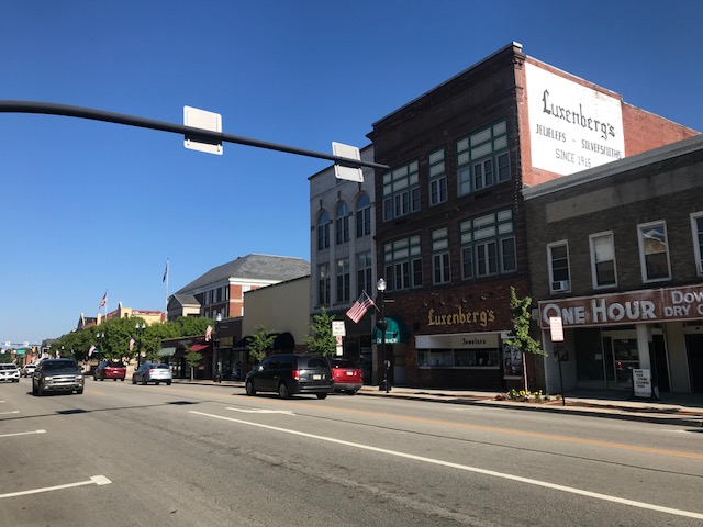
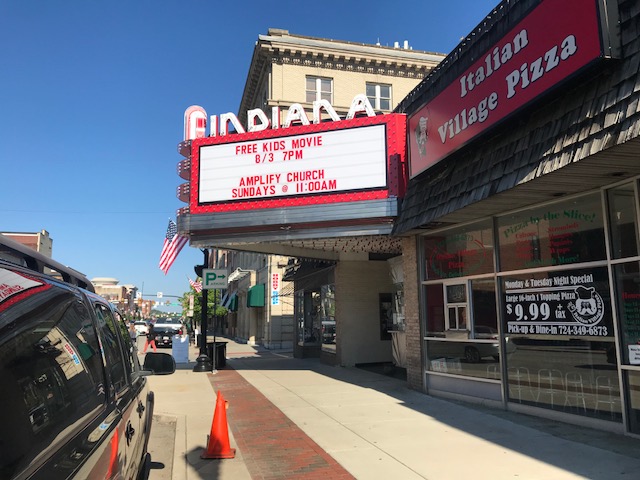
I parked at the Indiana Mall and then took Rte 286 (Oakland Avenue to Philadelphia Avenue) out through town. Indiana has a beautiful downtown, even prettier in the early morning sunlight.
The first 8.5 miles, towards Clymer, were on Pa. Rte. 286. It was sketchy at times. It’s not a major highway, but it is the major road between Indiana and Clymer. Despite a 4-foot law, some cars came much closer when passing, the closest of which was a Pennsylvania State Policeman. Seriously.
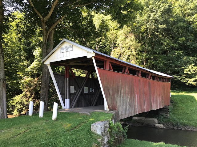
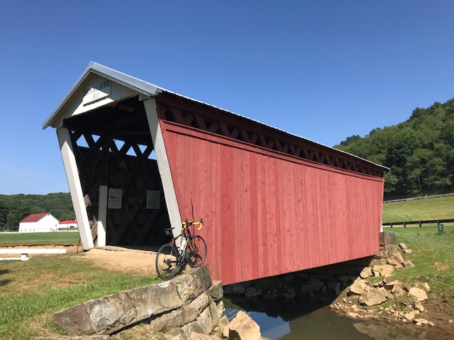
When I turned on Rayne Church Road, I was glad to be on a country road and stay on country roads the rest of the ride. I first came to the Kintersburg Bridge, which surprised me. I was enjoying the day and, temporarily, had forgotten this was a covered bridge ride.
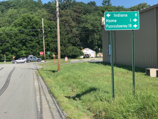
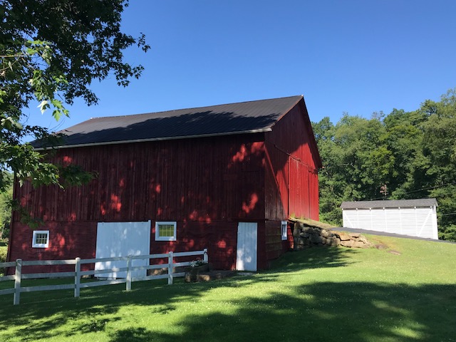
I passed the most beautiful farmhouse (but did not take a picture) next to a pretty barn. I hesitated turning onto U.S. Rte 119, but was on it for less than .25 mile and saw no cars on it for the one minute, or so I was there.
What I didn’t know: Rte 119 is also marked as Pittsburgh-Buffalo Road.
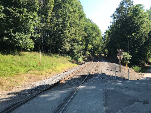
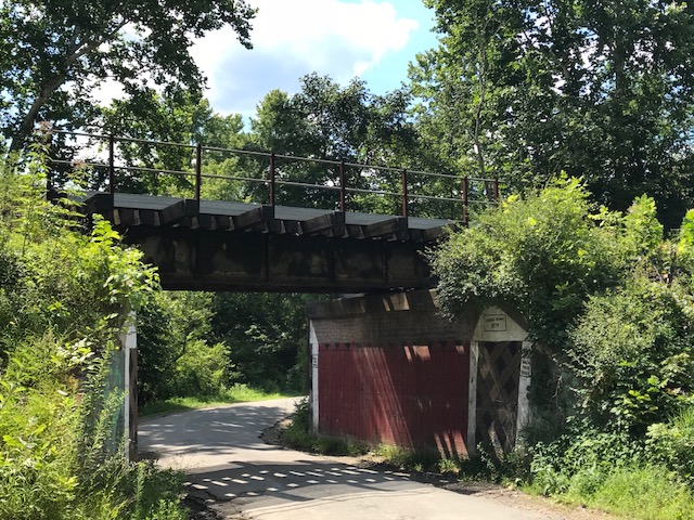
I turned onto Chambersville Road and came upon three at-grade crossings with a railroad. None had any signals, just a “Railroad” sign.
I didn’t see the railroad, but I am 99% sure the single track belonged to the Pittsburgh and Buffalo Railroad. This would be the line from Punxsutawney to Homer City, a line that goes past my uncle, Don Sherry’s, house in Juneau.
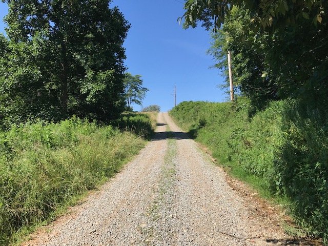
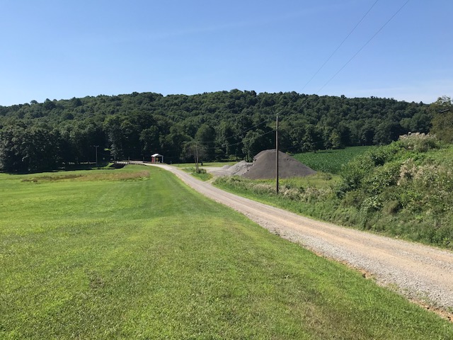
I didn’t know where I was going (which was part of the fun of this type of ride). I was following my Garmin cues when it told me to turn left (Black Road). I turned, and after 75 yards, it turned to gravel. I stopped. I thought I could check where I was on Maps, but I was in a no-service area. I decided to push on.
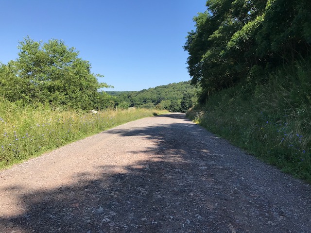
It was rough riding. It wasn’t impossibly hard, but I was worried for the bike and wheels. At the top of the first climb, I had a great view and saw that the road continued as gravel. I walked. I did not want to be on the bike on a steep descent as I was afraid I might slide out.
Although it felt like four miles, it was two miles. The road appeared to be an old “red dog” road (mine waste). These were supposed to be removed years ago and it appeared to my eyes that this was not fully removed.
I came upon the second bridge, the Harmon’s Bridge. Shortly after seeing this bridge, I jumped onto Five Points Road. If I had stayed on Davis Road instead of turning onto the gravel, I would have come to Five Points Road. In fact, it was probably the same distance. But when I mapped it out, I chose the route because I wanted to ride over the bridge and not divert from my route (Five Points Road). If I did this again, it’s an easy change to the route.
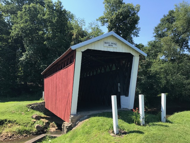
Only half a mile away was the Trusal Bridge. It was also off Five Points Road. The road to the bridge was gravel. I chose to ride in a field next to the road rather than on the road.
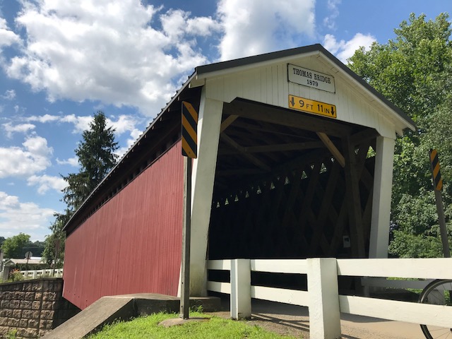
I rode to Creekside and over to the Thomas Bridge. As I left Thomas Bridge, Garmin had me going up Jamison Road. It turned to gravel. I turned around. I rerouted over to Fleming Road. I got on N. Ben Franklin Road and had my biggest climb of the day.
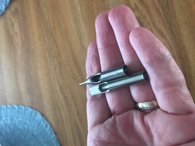
Partway up, I saw what I thought was a sleeve of drill bits. I stopped, picked them up, and saw they weren’t drill bits. Later, I posted a photo of them on Facebook and offered them to anyone who wanted them. Guesses were calligraphy tips, leather punches (and there are Amish in the area), and tattoo needle guides. The winner was the tattoo needle guides. I discarded them.
If I ride this again, I would look for an alternative to 286 towards Clymer, stay on Davis Road to Five Points Road, and erase Jamison Road, which I did as I rode. And I may ride it clockwise to get the Ben Franklin road climb out of the way at the beginning.
Covered Bridge Facts
- Harmon Bridge, which was built in 1910 at a cost of $525, is 45 feet long and was named after Civil War veteran J.S. Harmon
- Kintersburg Bridge was built in 1877 and named for Isaac Kinter, a local shopkeeper. J.S. Fleming erected the bridge over Crooked Creek at a cost of $893.
- The Thomas Bridge was built in 1879 at a cost of $545 and completely reconstructed in 1998 at a cost of slightly more than $1 million dollars.
- Trusal Bridge, built in 1870 (also known as Dice’s Bridge). At 41 feet long, the Trusal Bridge is the shortest of Indiana County’s covered bridges. It was named after Robert Trusal, a nearby property owner. The preceding facts and more information can be found at the Indiana County tourism website.
Recent Comments